Loop Around a Pā
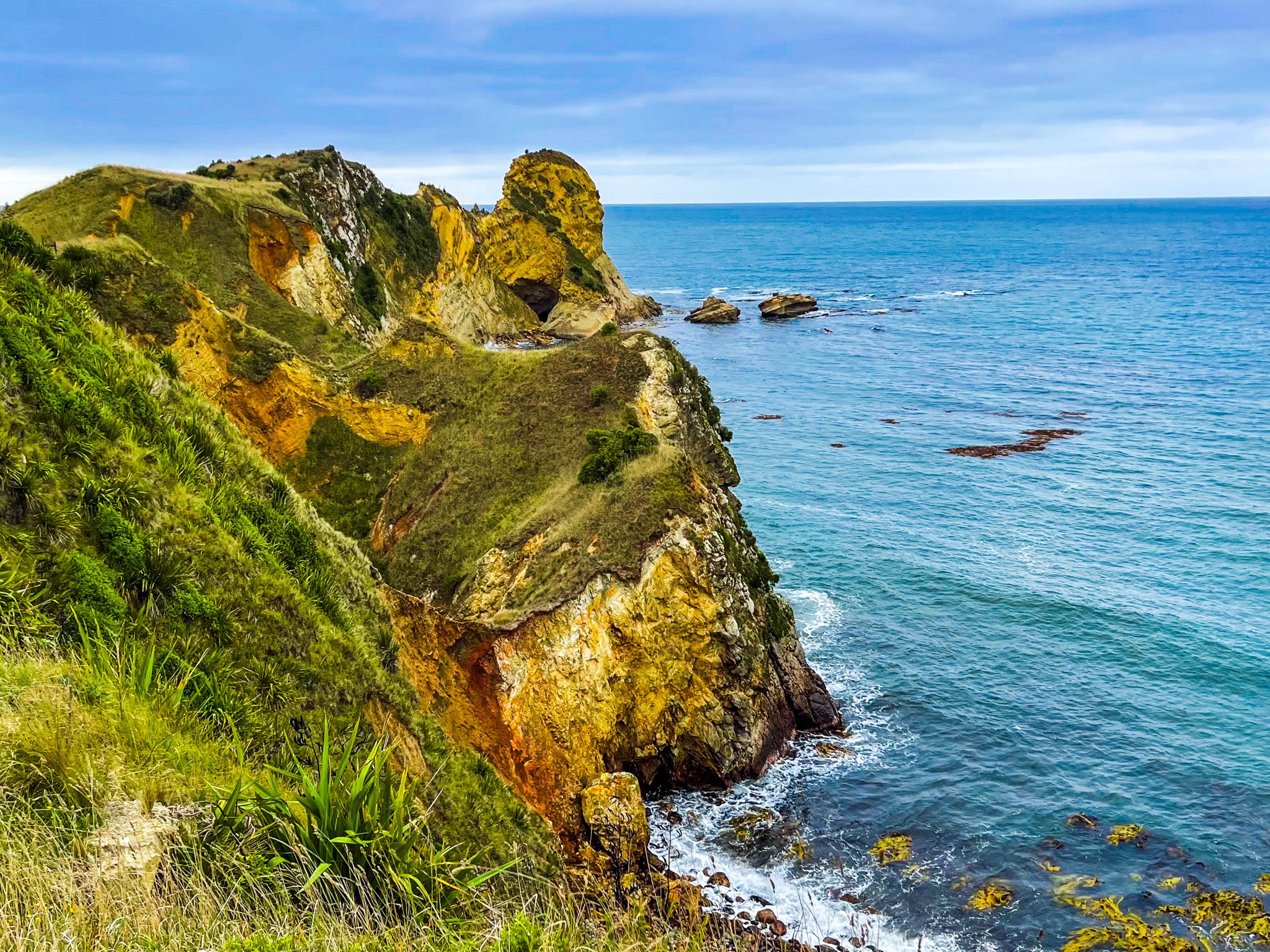
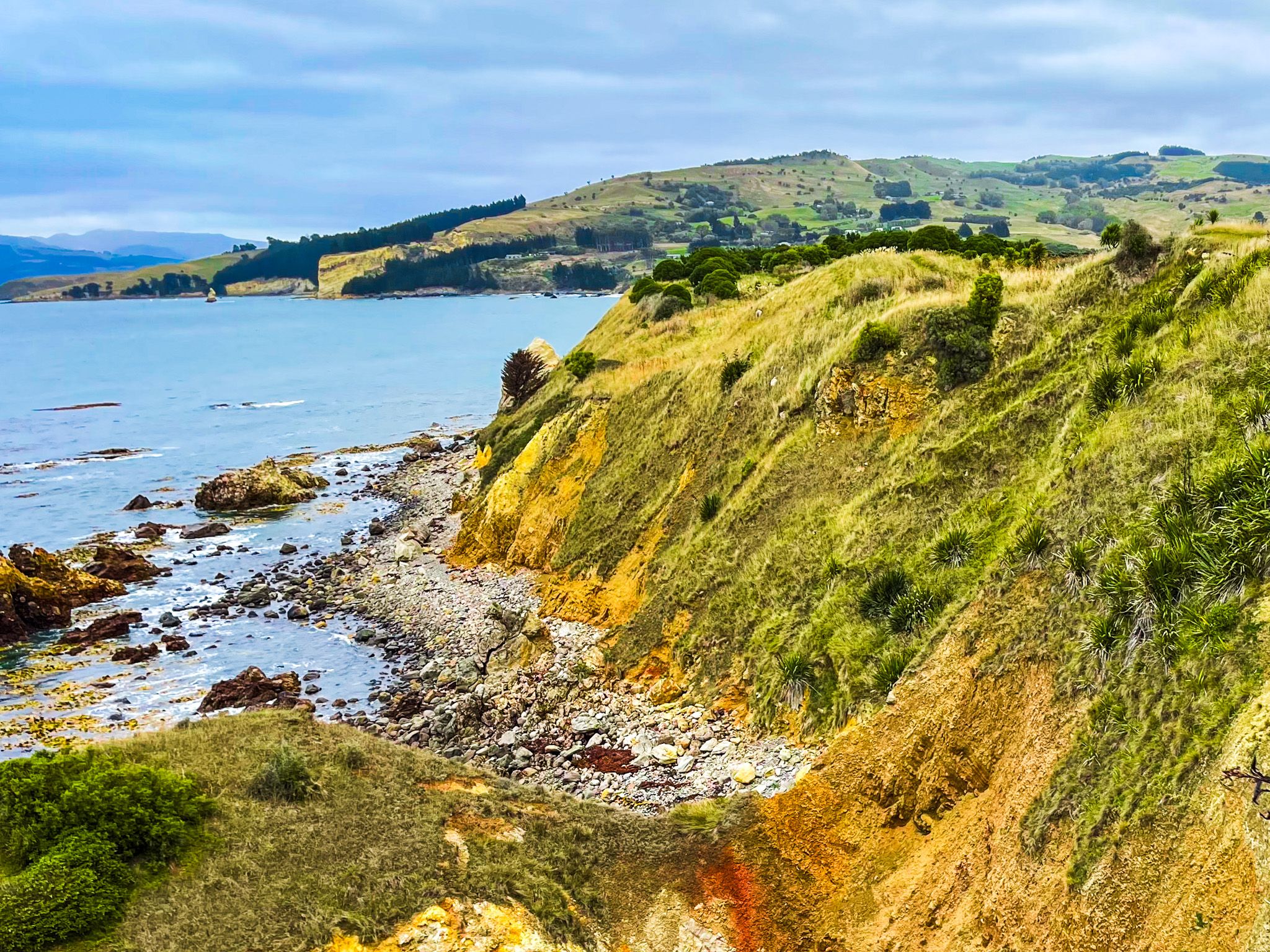
Immediately east of Karitane village and beach, the Huriawa Peninsula juts about 1.2 km into the Pacific at the mouth of the Waikouaiti River, joined to the mainland by an isthmus barely 90 metres wide. The peninsula is a historic pā site as well as one of the most spectacular short walks on the Otago coast: a narrow spine of headland with cliffs, natural arches and blowholes on its ocean side, the rock glowing orange where the sun catches it. Ngāi Tahu know the peninsula as Huriawa, meaning 'turning river', a reference to the Waikouaiti River, which once reached the sea south of the peninsula rather than north of it as it does today.
Cliffs, Arches and a Narrow Summit Track
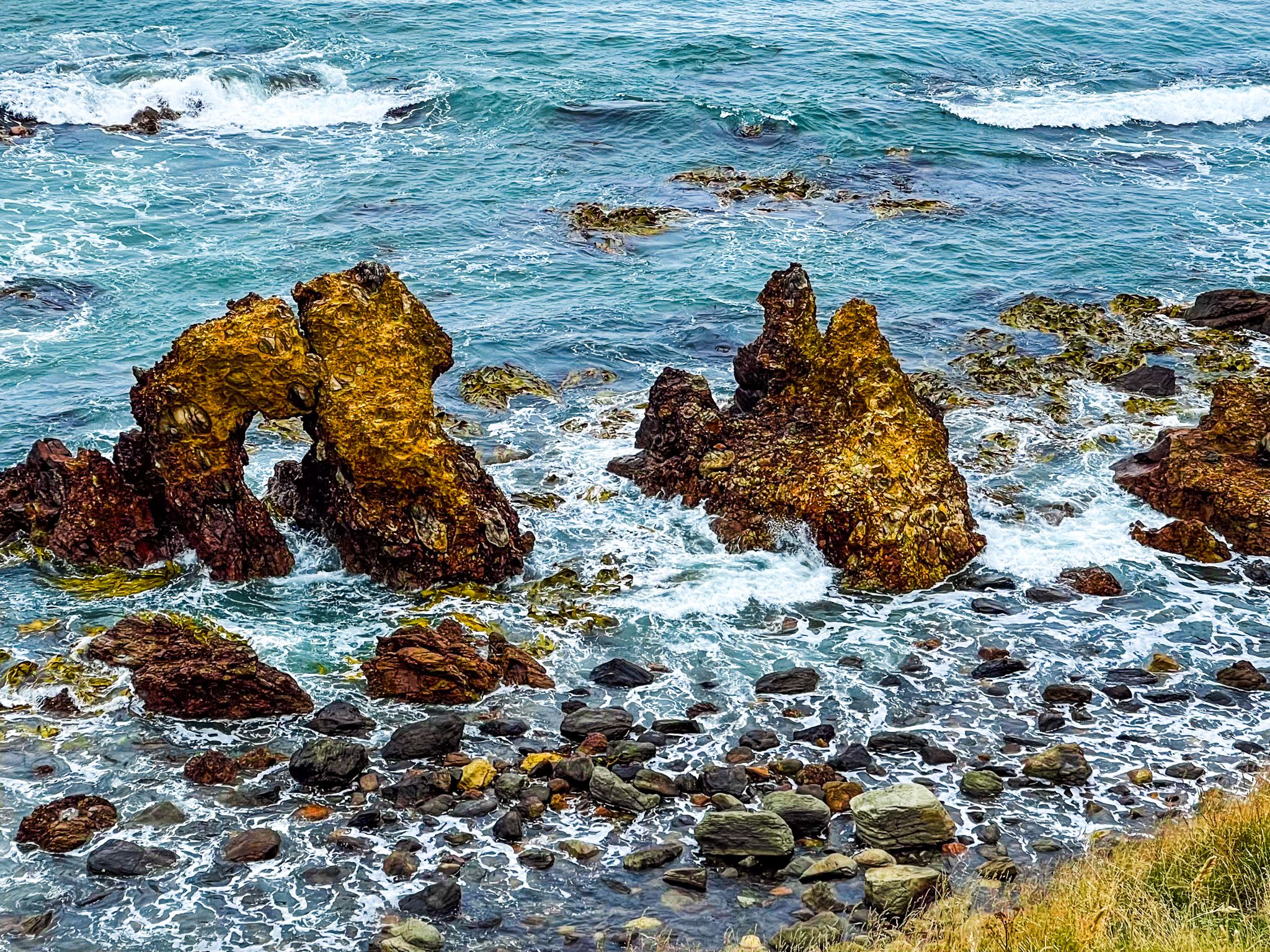
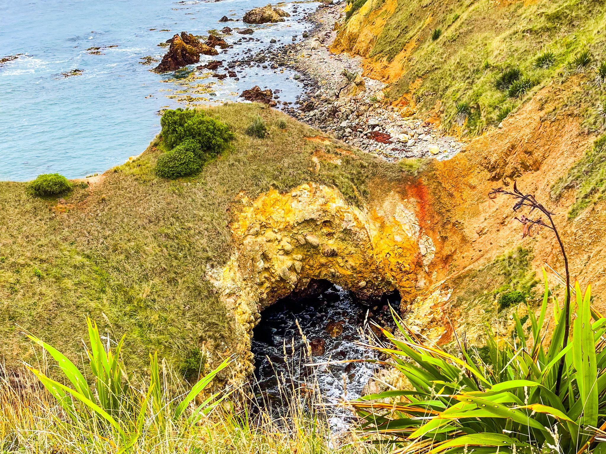
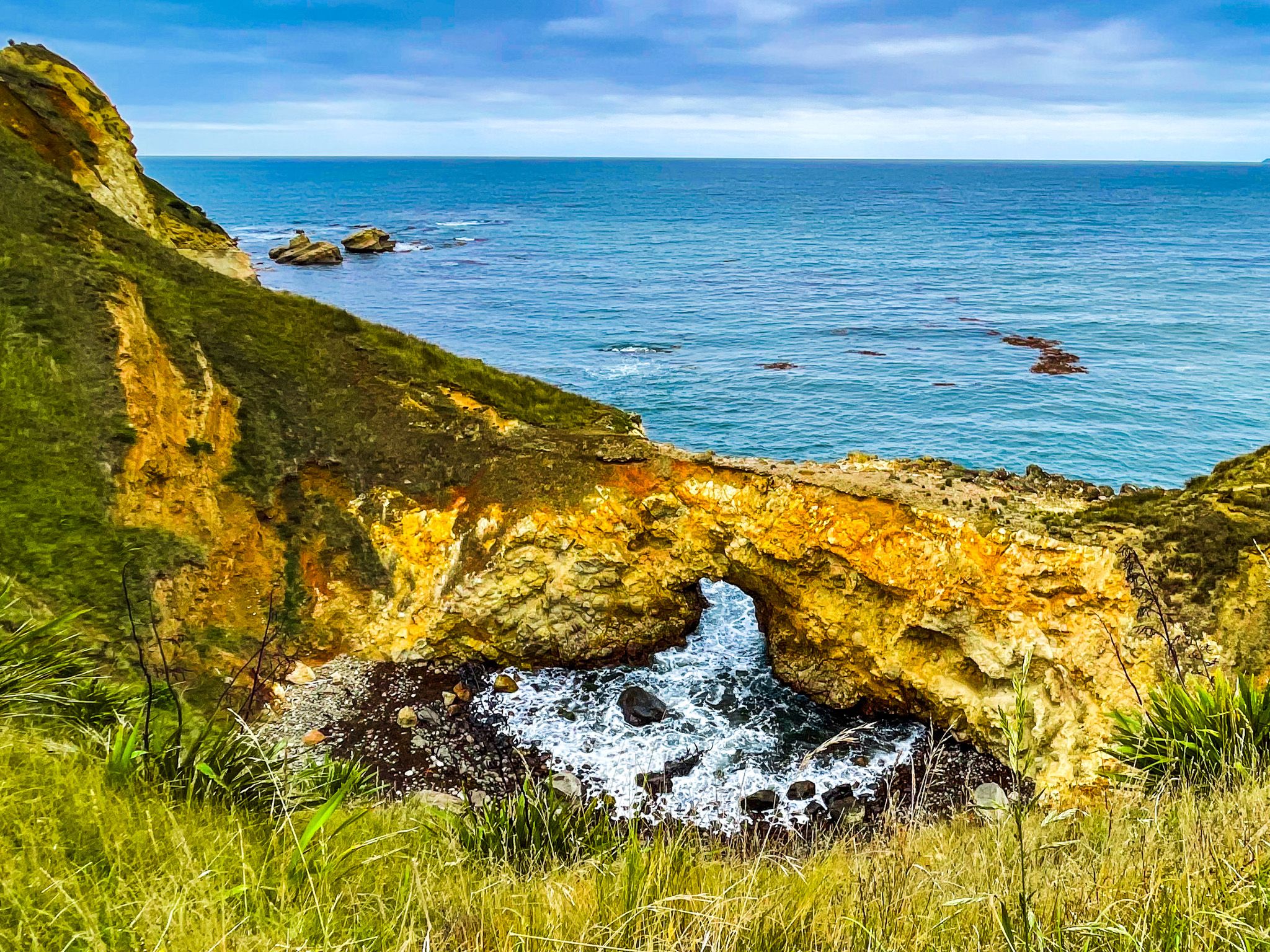
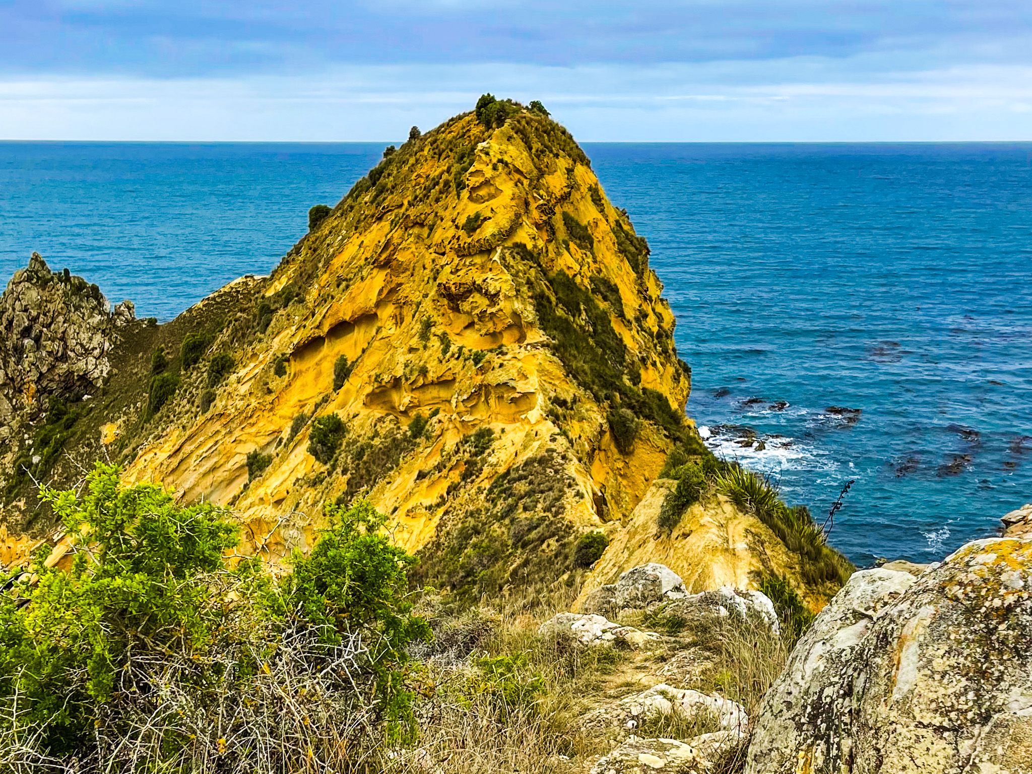
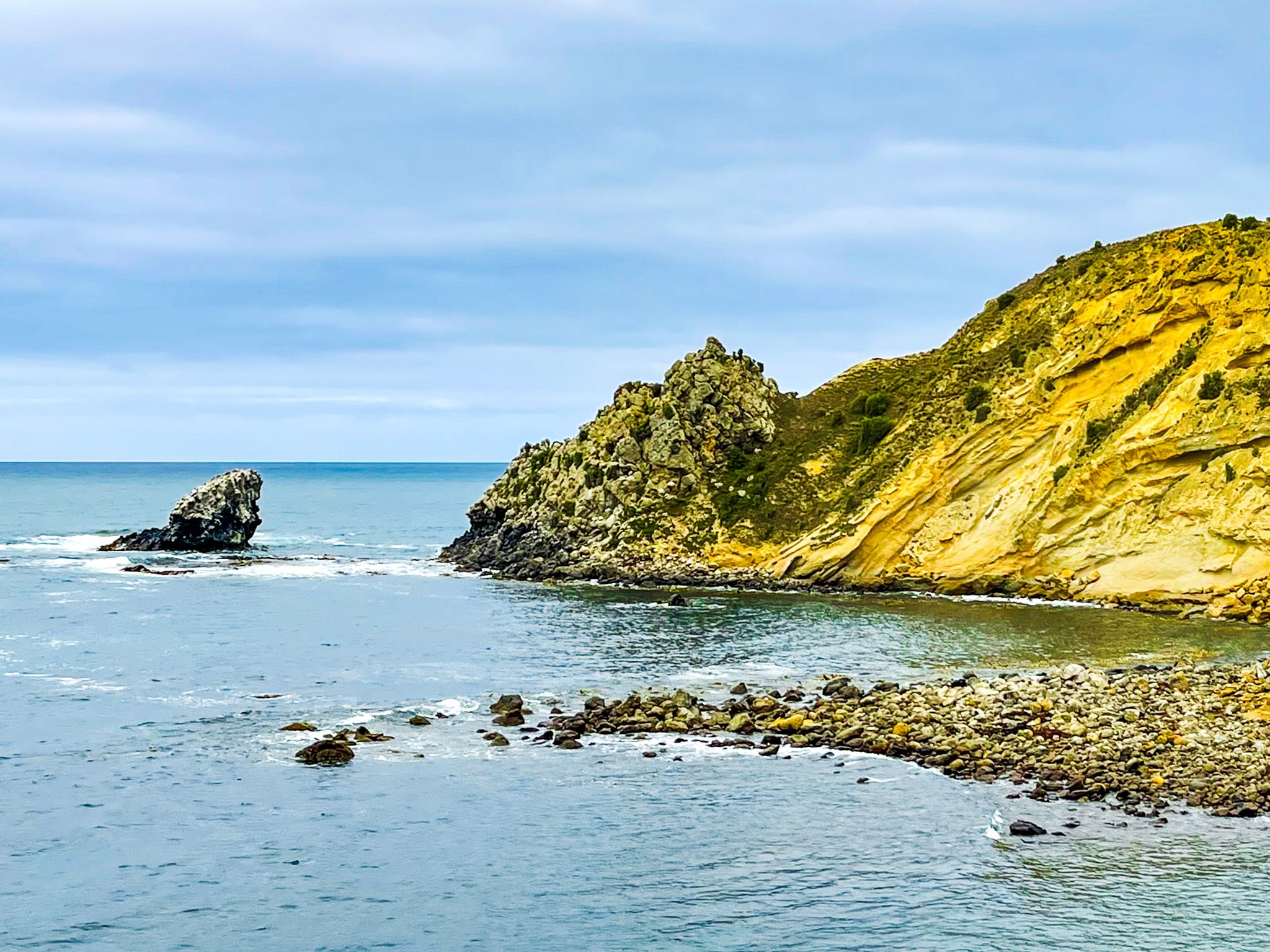
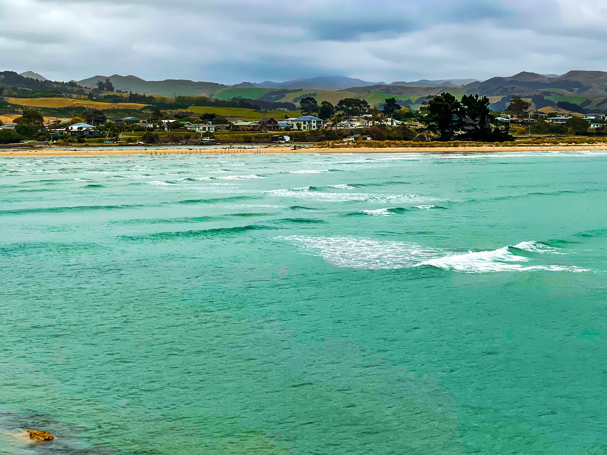
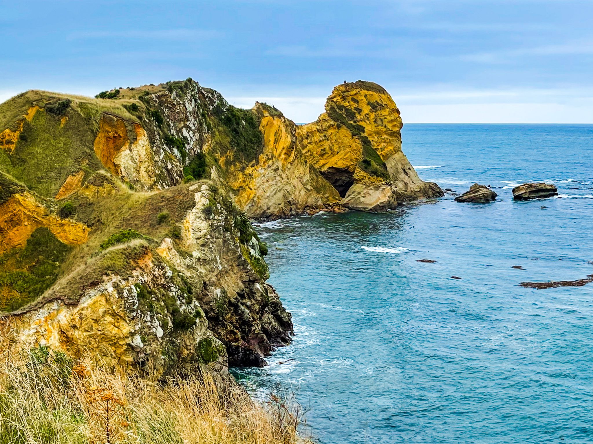
The ocean side of Huriawa is the reason to come. The loop track starts at the road access; cliffs and rock pinnacles drop straight to the sea, carved through with blowholes and arches that throw spray skyward in a swell. Boulders sit stranded below the cliffs, tumbled from the rock face over centuries. From the main track, a narrow informal track follows the spine of the peninsula to a high point above the cliffs, exposed and genuinely fun rather than difficult. The high point is only 42 metres but provides views up and down the coast. The estuary side of the track is gentler, looking back across the river mouth to the Karitane boat harbour and the long sandspit forming the southern end of Waikouaiti Beach.
Te Wera's Stronghold
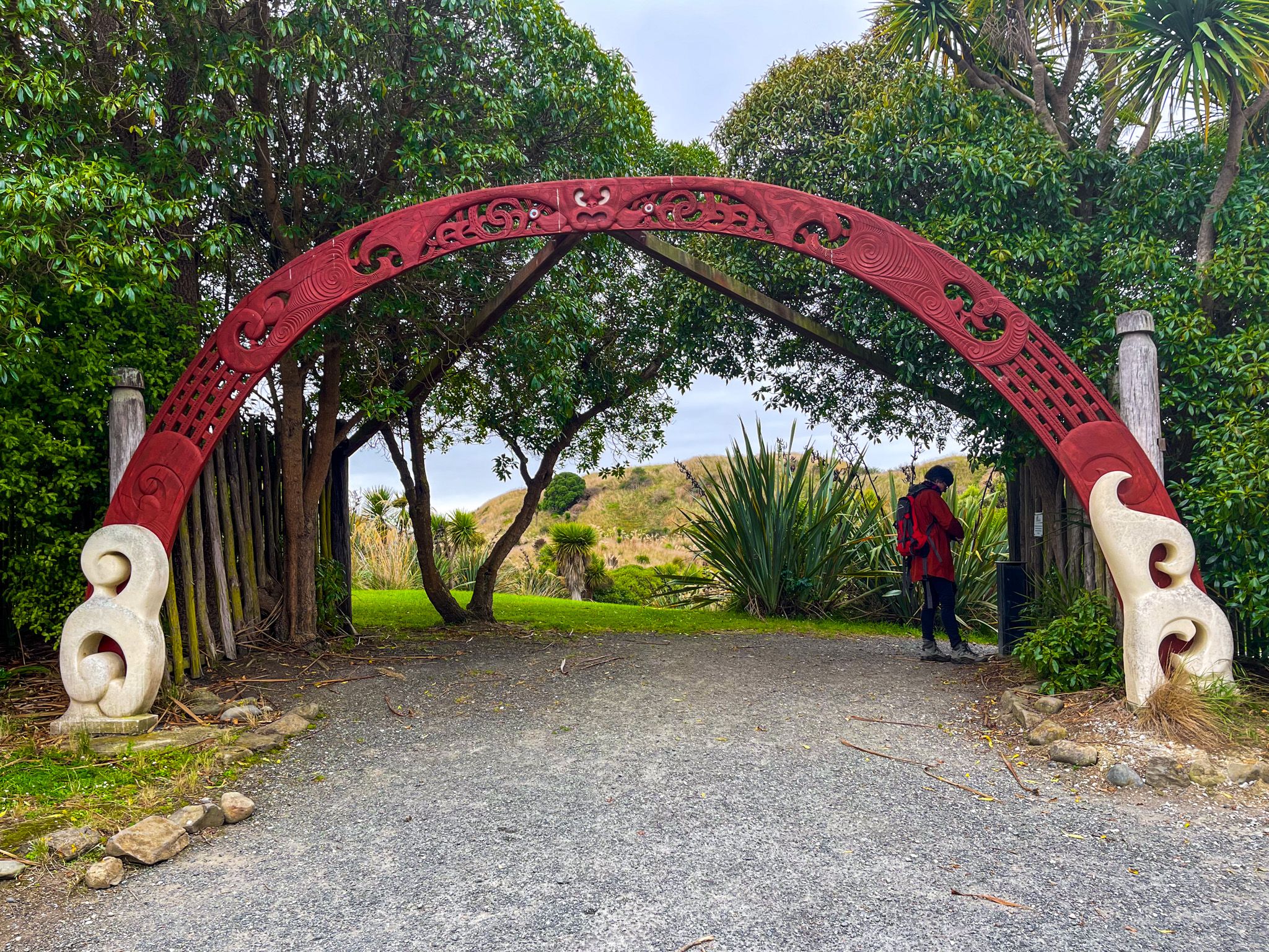
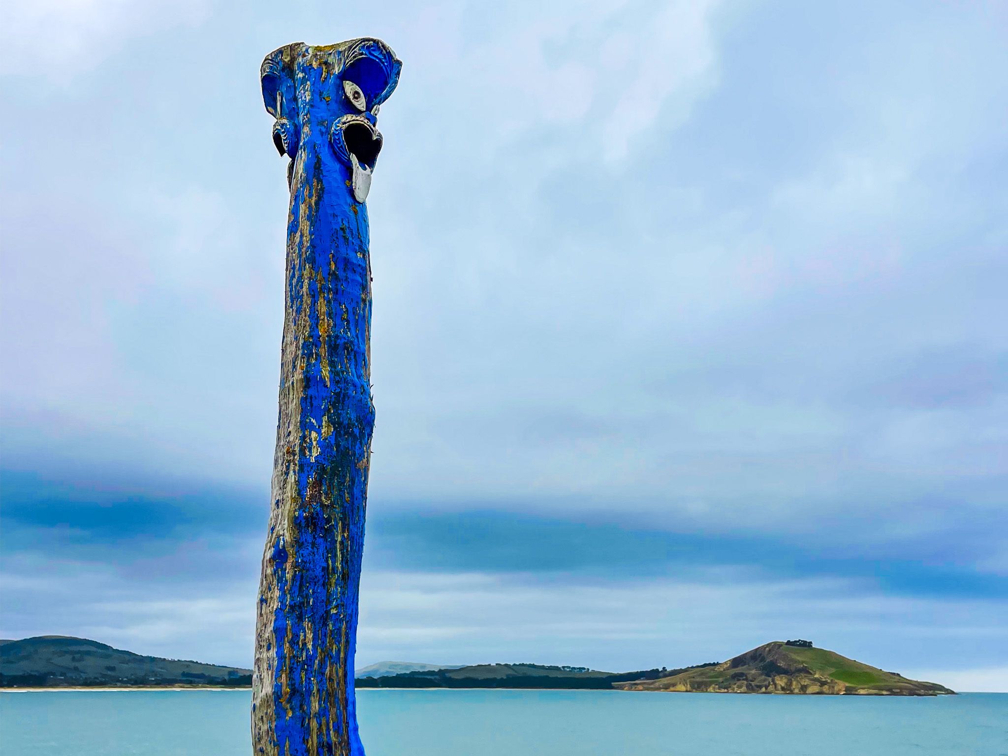
Huriawa's history is inseparable from its geography. The peninsula was a fortified pā, its narrow isthmus and sheer sea cliffs making it nearly impregnable, and in the 1700s the Ngāi Tahu chief Te Wera and his people withstood a six-month siege here, one of the best-known episodes of intertribal conflict along this stretch of coast. A natural spring on the peninsula provided the defenders with fresh water even under blockade.
The isthmus later became the site of Karitane's cemetery and a memorial marking the first Christian sermon delivered in Otago, given by the missionary James Watkin in 1840.
Most of the peninsula is now a historic reserve, jointly managed by local Māori and DOC, with ongoing restoration work to protect the pā site and replant its surrounding vegetation. Sir Truby King's holiday home, Kingscliff House, still stands at the western end of the peninsula as a private residence, a reminder of the rich history of this small peninsula.
How to Get There
Huriawa is reached on foot from Karitane village, 40 km north of Dunedin off State Highway 1. Cross the narrow isthmus at the eastern end of the village, and the track onto the peninsula begins almost immediately. Allow 30 to 45 minutes to walk out to the high point and back, longer if you want to find a spot with a view for a picnic.
Other nearby places include Doctors Point, Warrington, Truby King Reserve, Trotters Gorge, Kaitiki Beach and Moeraki.