Exploring Goldney Saddle and Surrounds
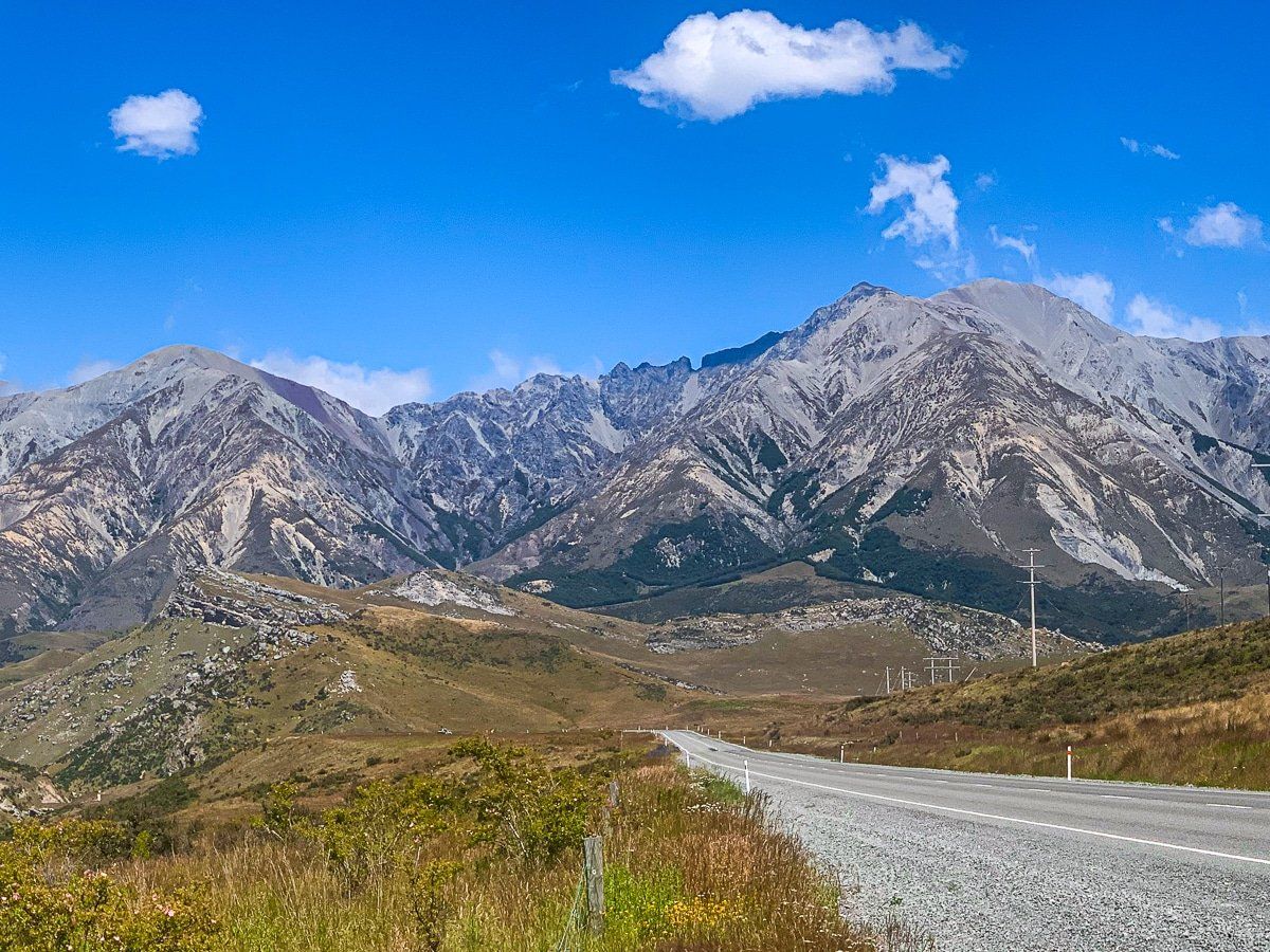
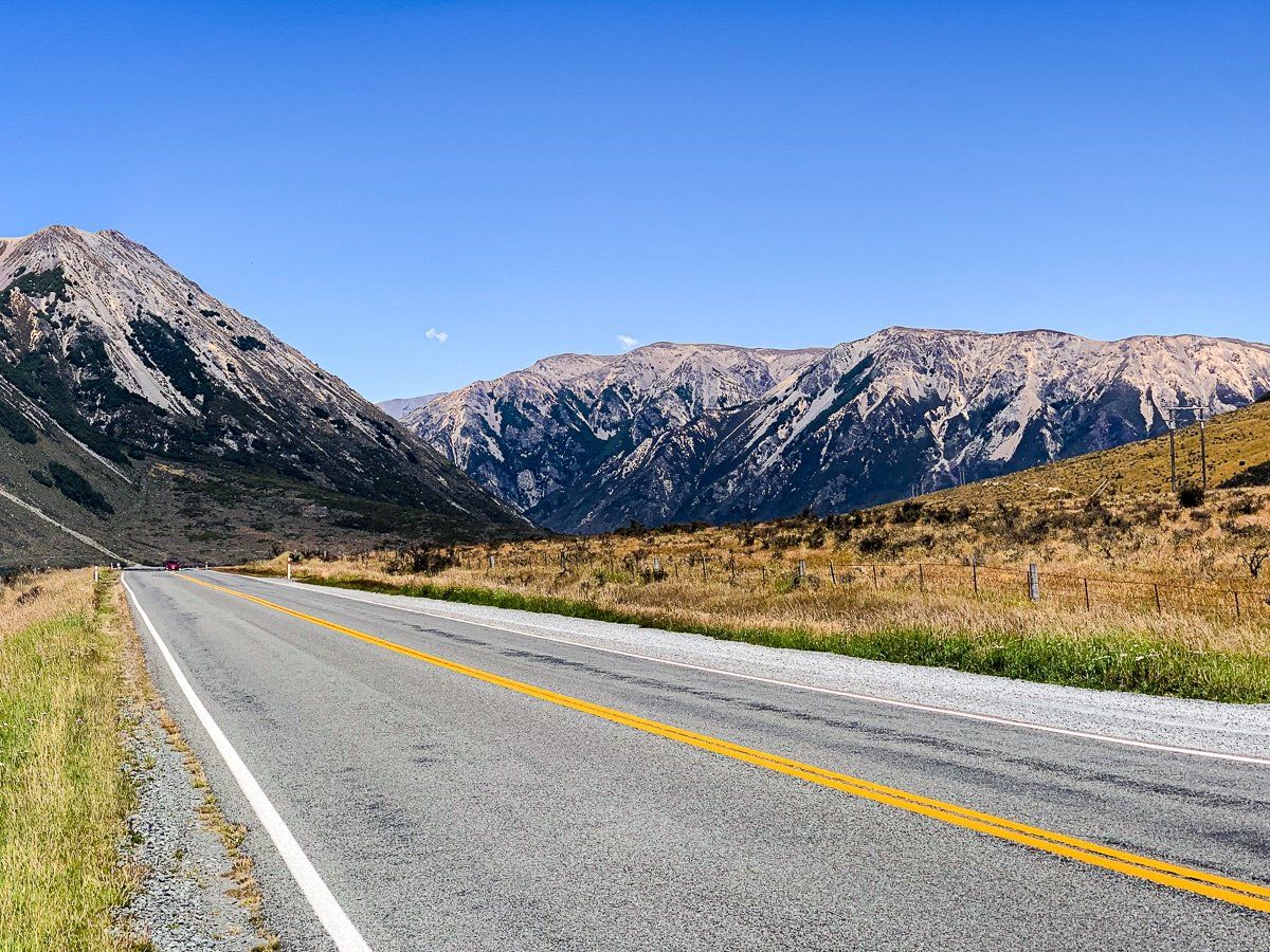
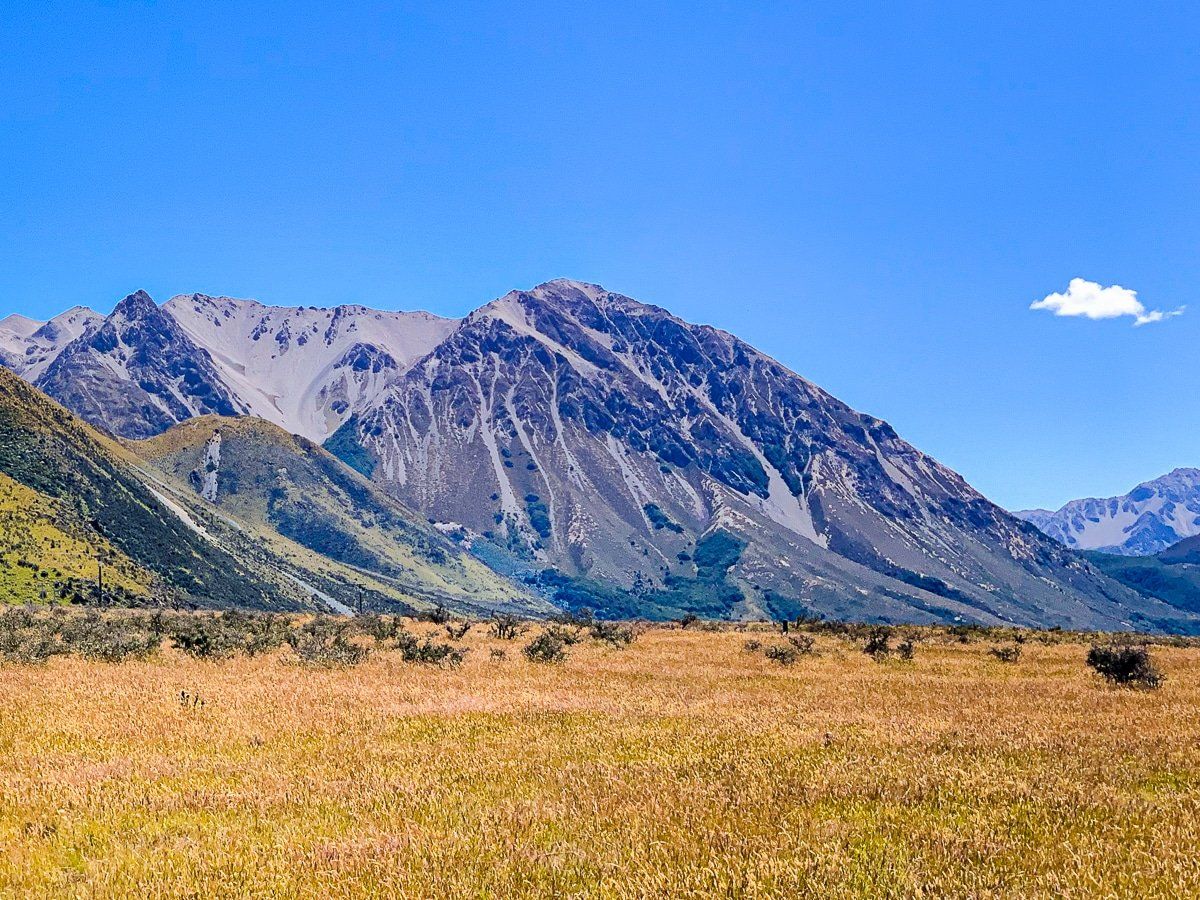
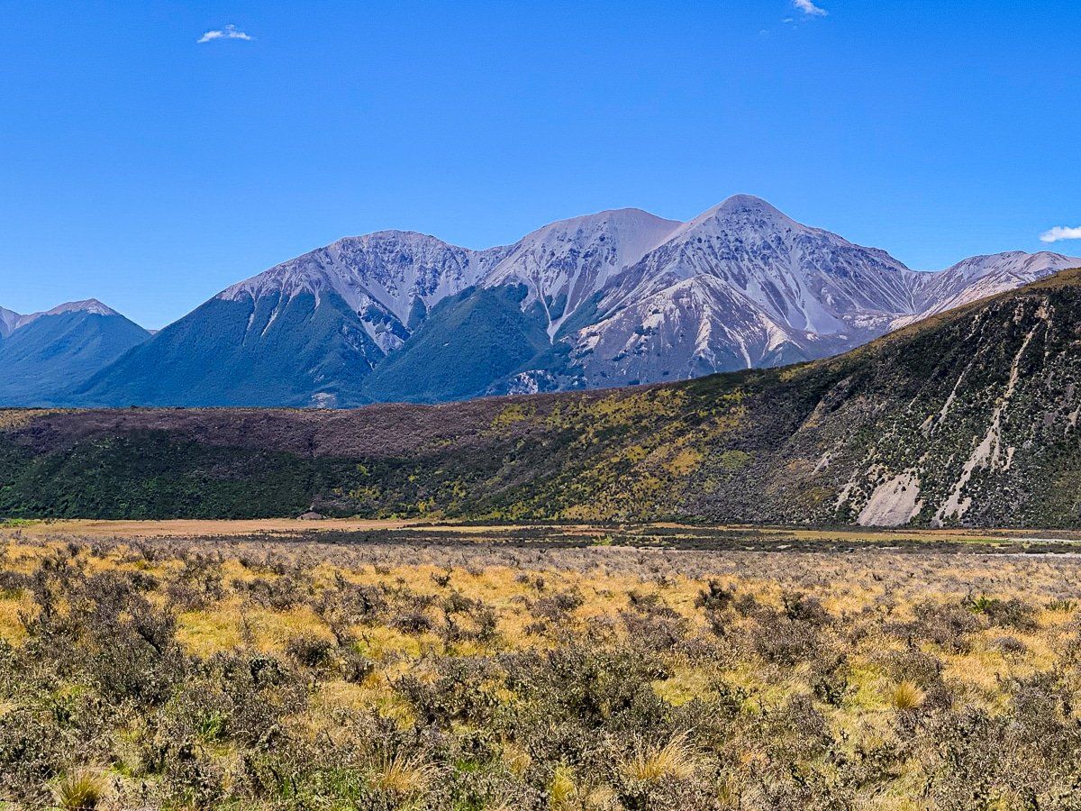
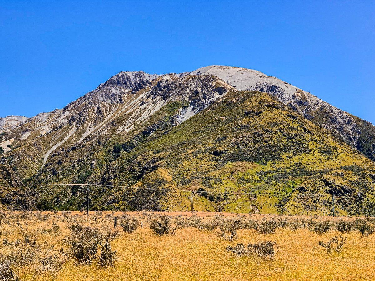
Goldney Saddle is located southeast of Arthur's Pass along West Coast Road, SH73. Coming from the west, this area marks a transition into a drier section of the Southern Alps. While fewer beech forests are reaching up to the snowline, the landscape remains striking. There are dramatic views of the Waimakariri River as you drive up to the saddle. In Summer, grey mountain tops rise above the golden and brown hues of tussock and scrub, while in Winter they are white with snow, both creating a dramatic contrast.
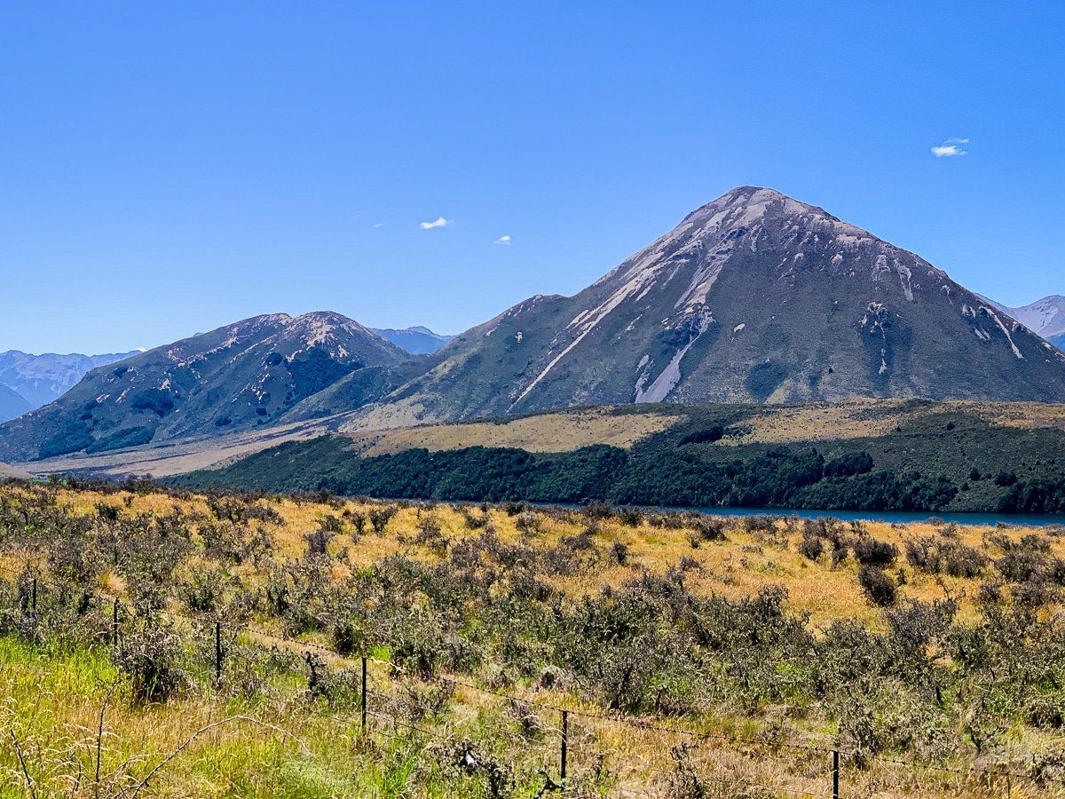
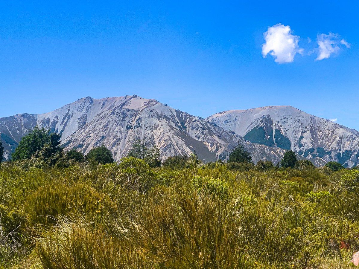
As you continue driving south from Goldney Saddle, the Craigieburn Range dominates the western side of the road. On the eastern side, you'll first encounter Sugarloaf, followed by Lake Pearson and Purple Hill. Further along, Broken Hill comes into view before you reach Castle Hill Village. Although the village lacks shops, the journey itself is captivating, especially on a clear, blue-sky day.
How to Get There
To reach Goldney Saddle, travel southeast from Arthur's Pass along West Coast Road (SH73). The saddle is a 30 km drive from the pass.
Places to explore near the saddle include Bealey Spur Track, Cave Stream and Castle Hill. There are also numerous tracks in the Cragieburn Forest Park.