Exploring the Avon River Red Zone
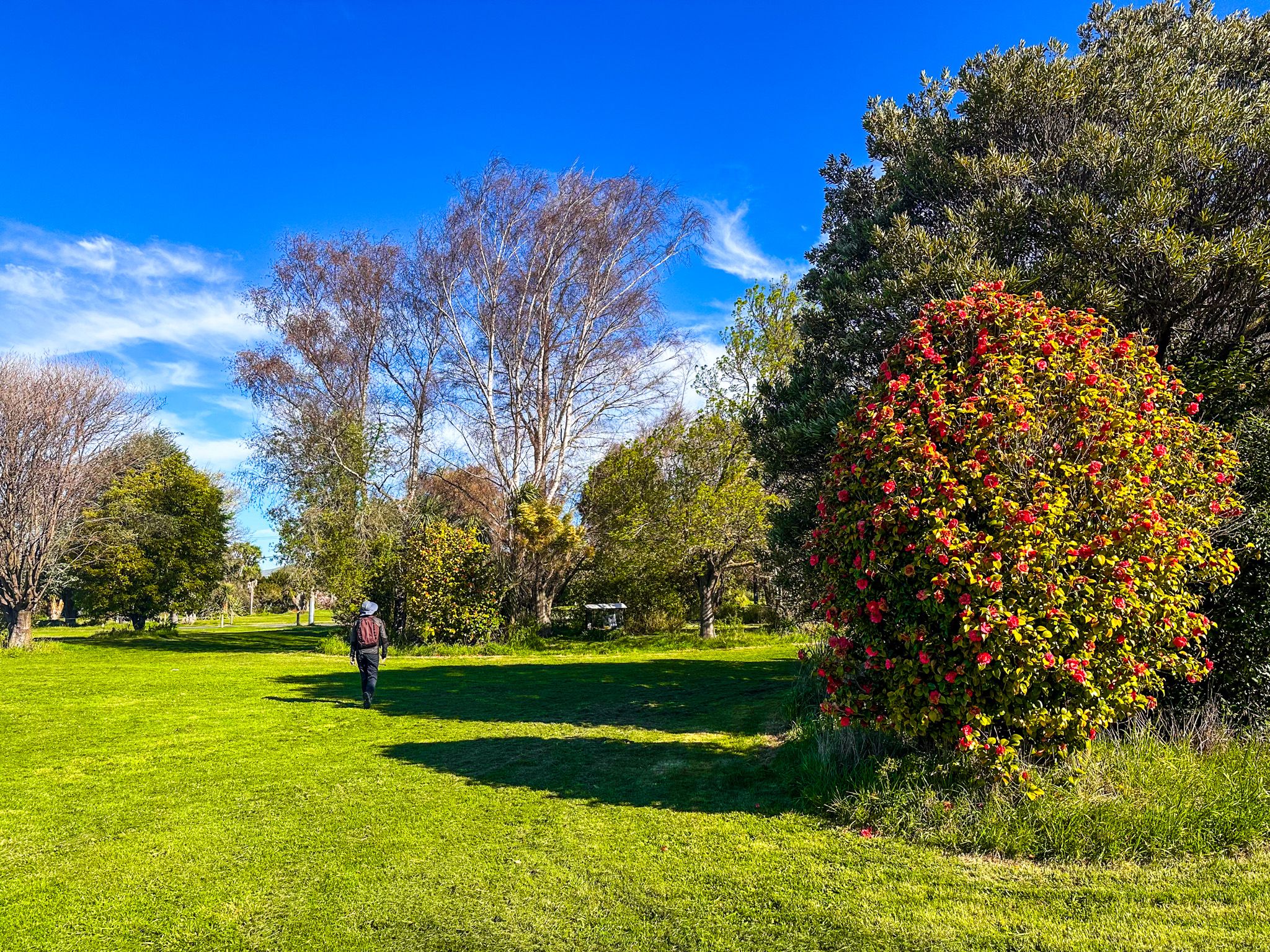
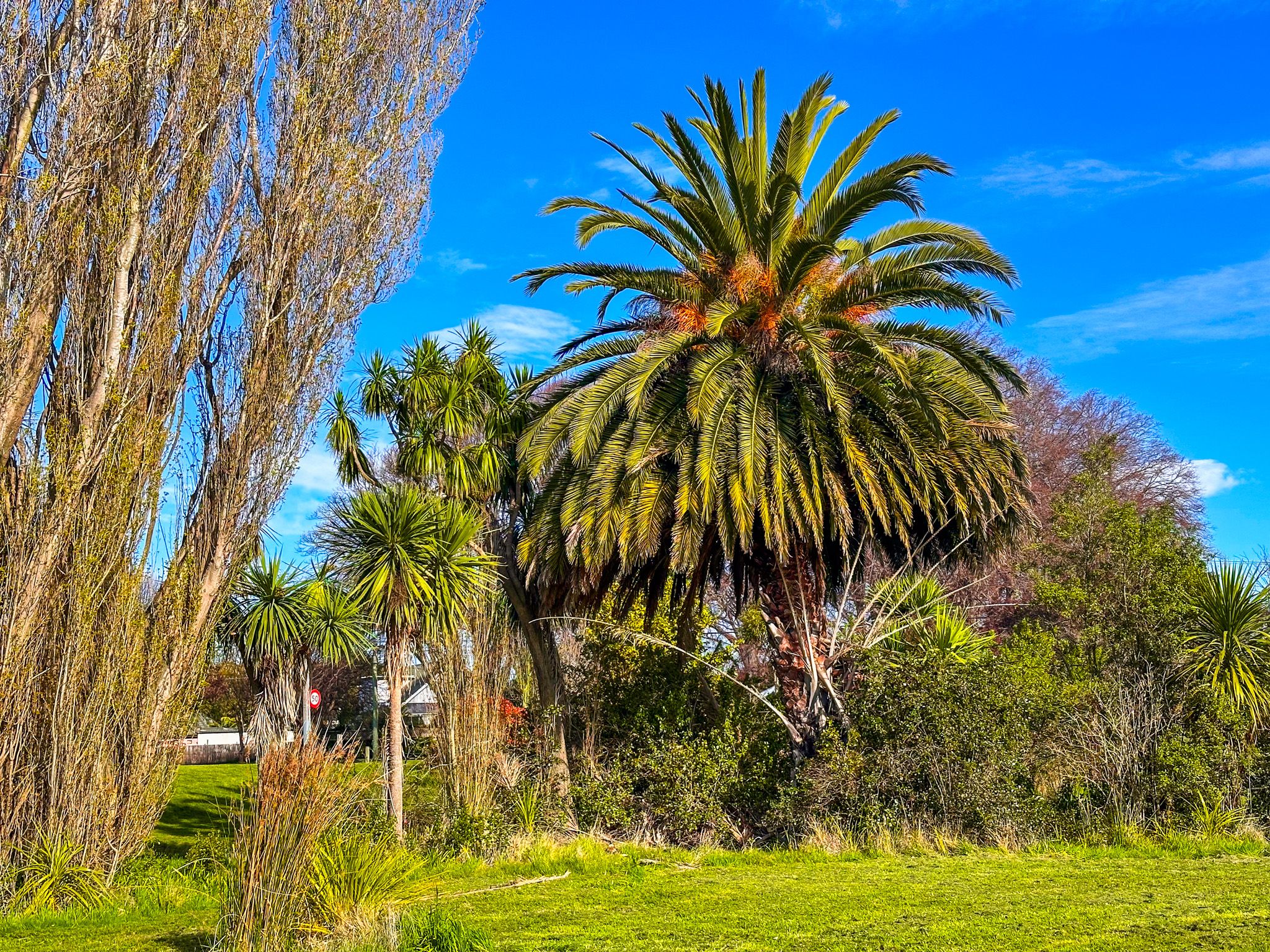
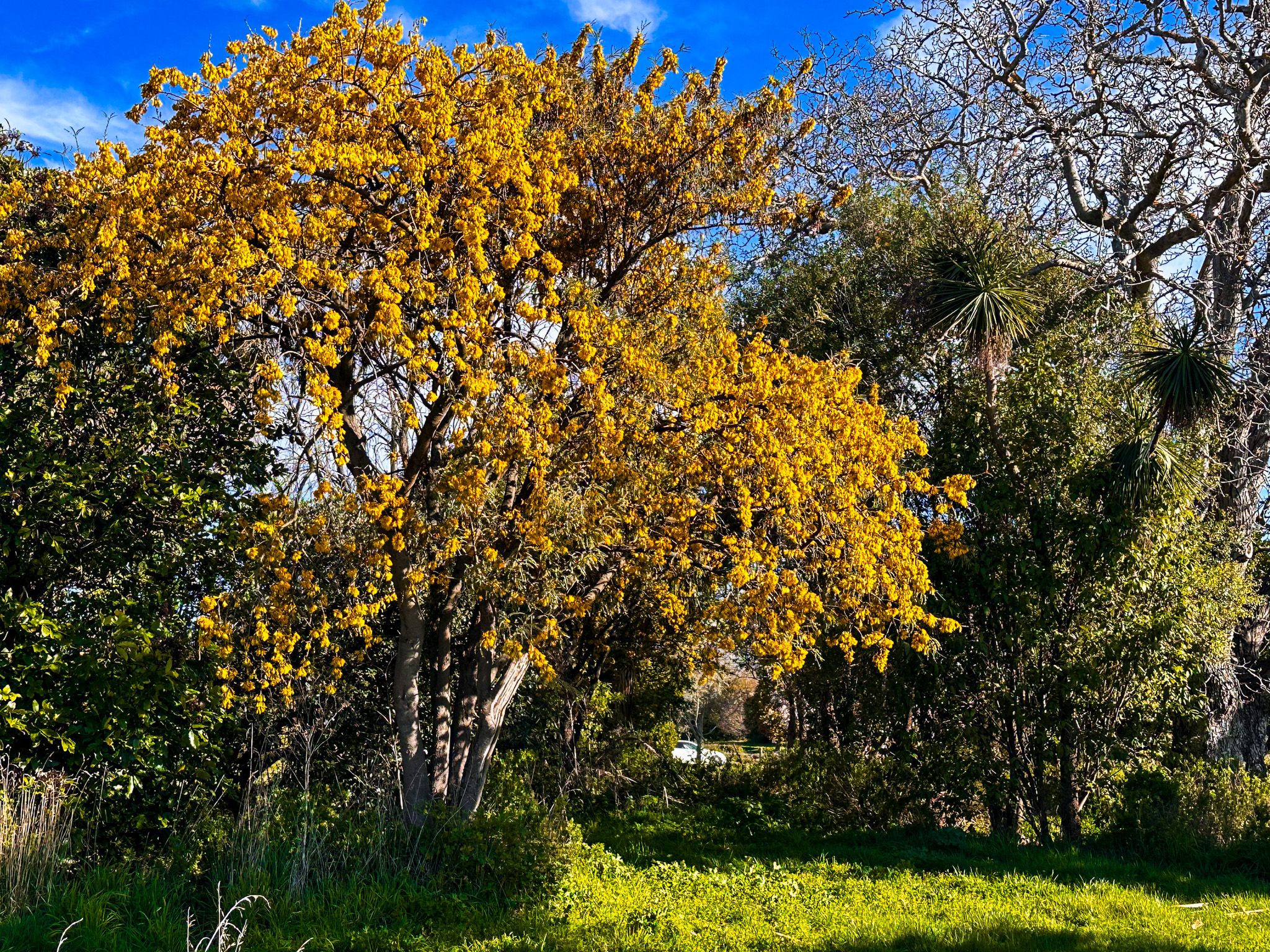
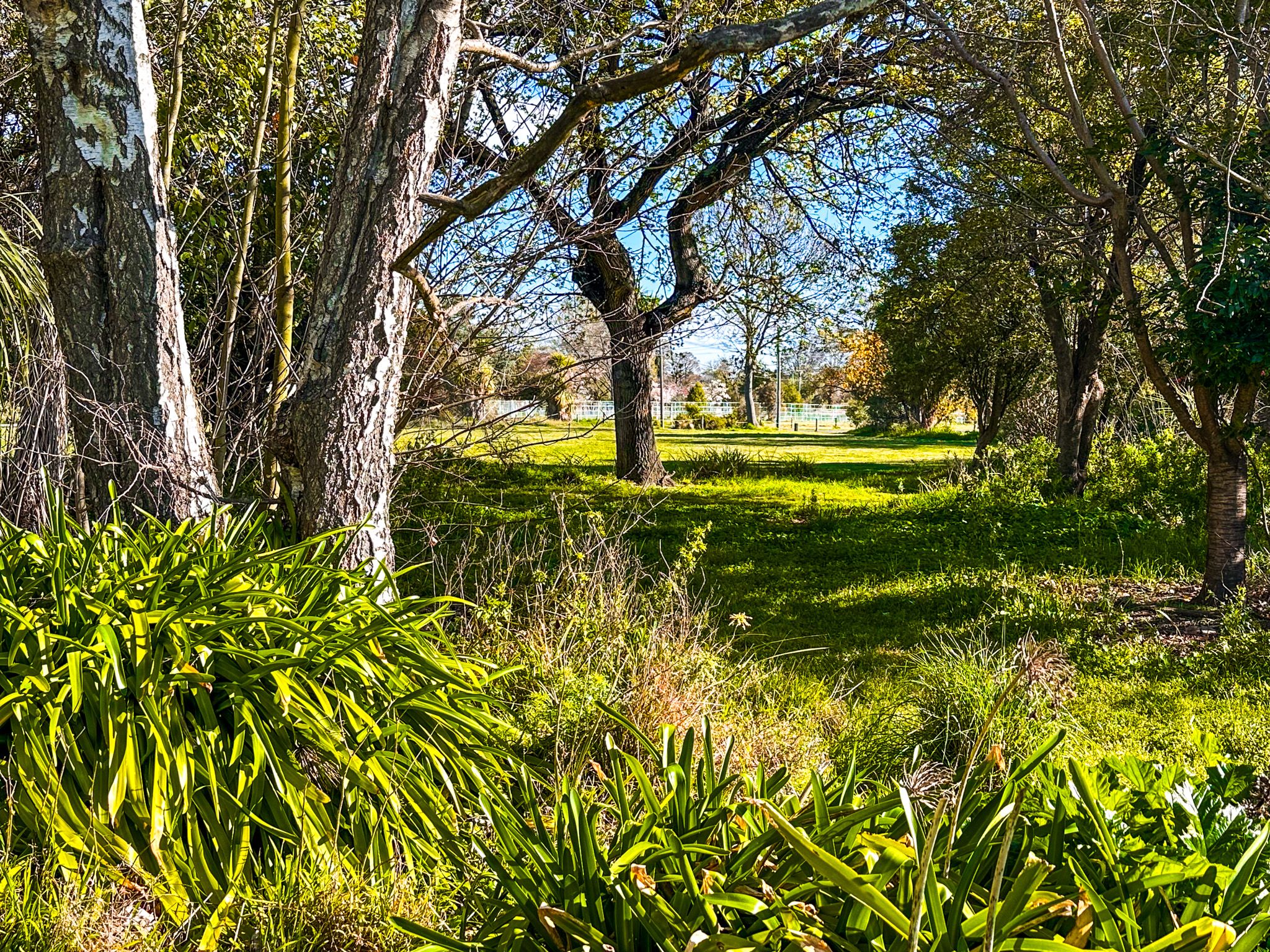
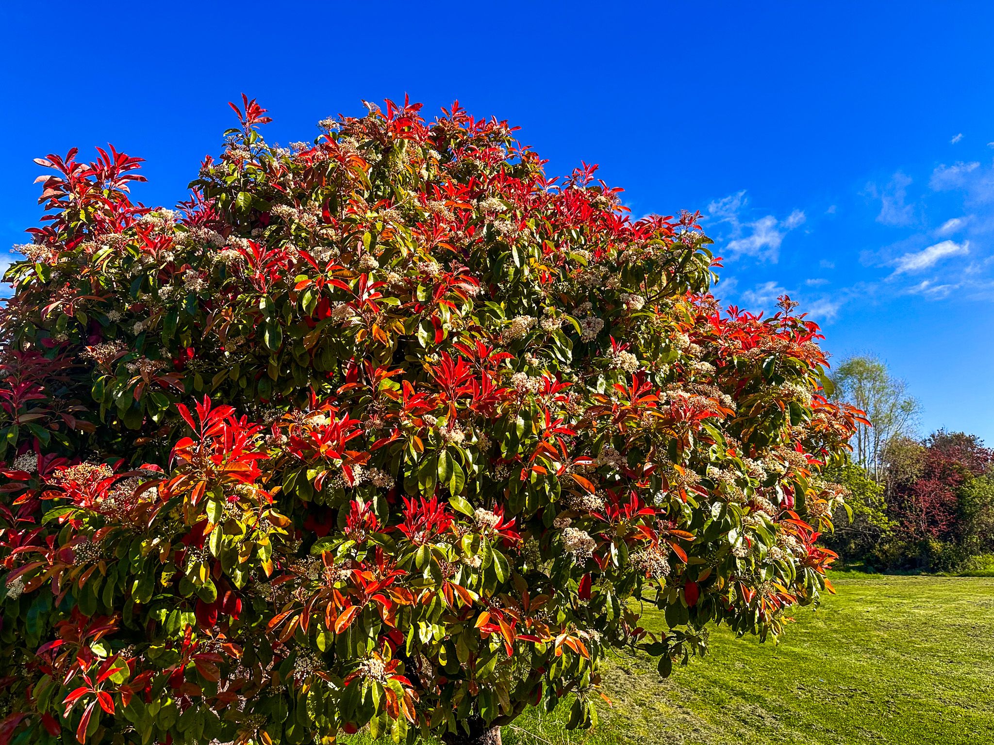
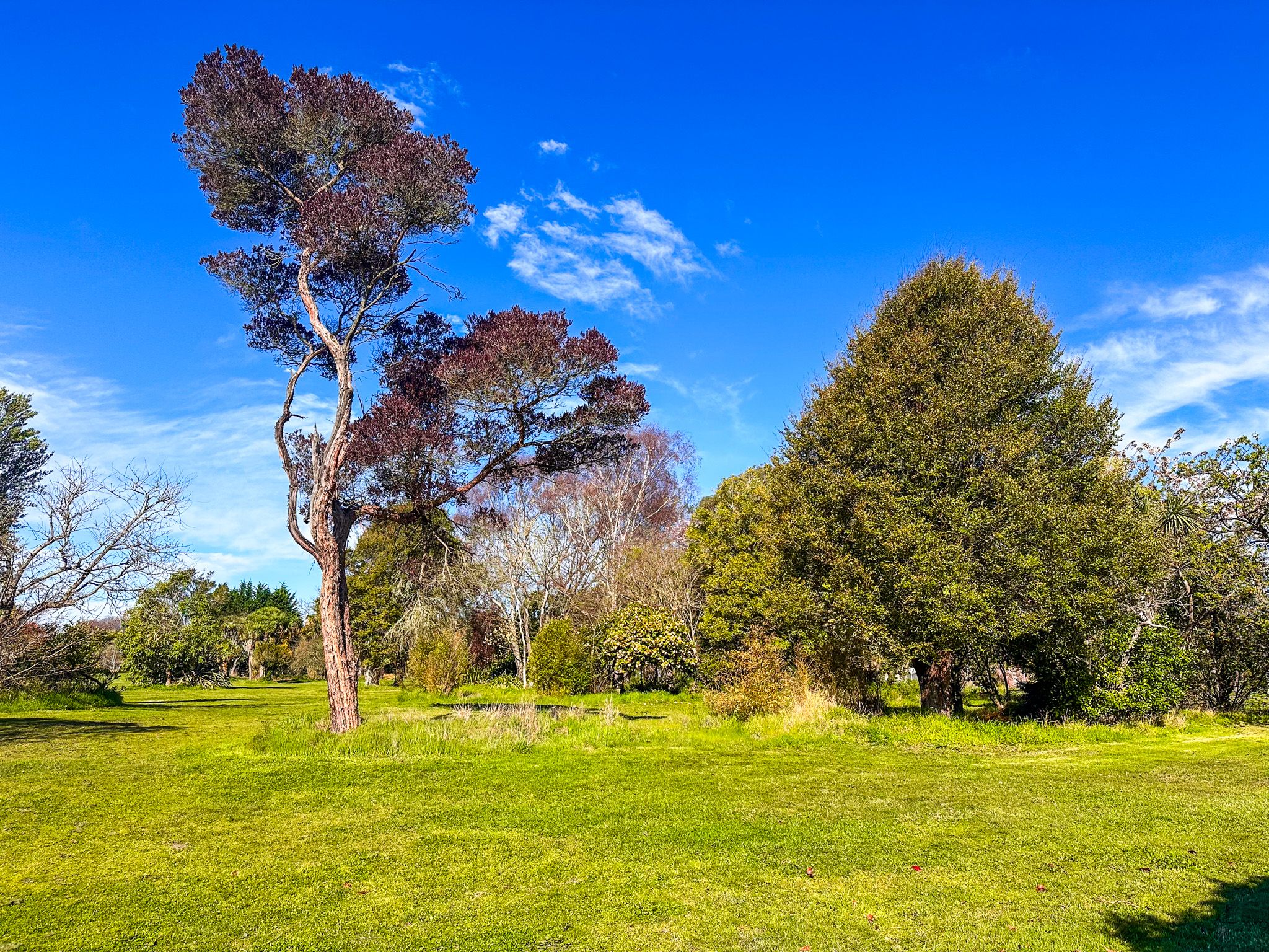
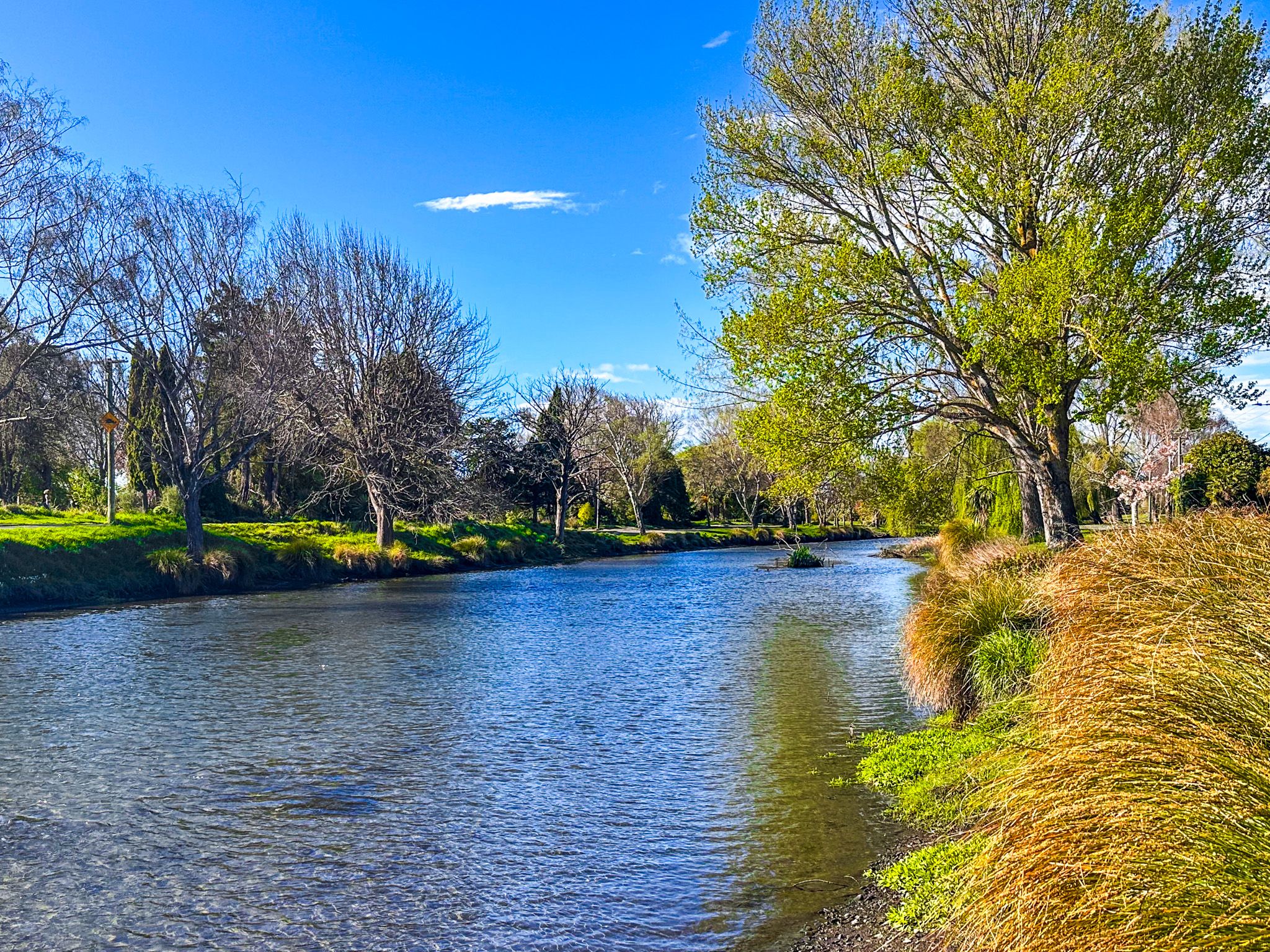
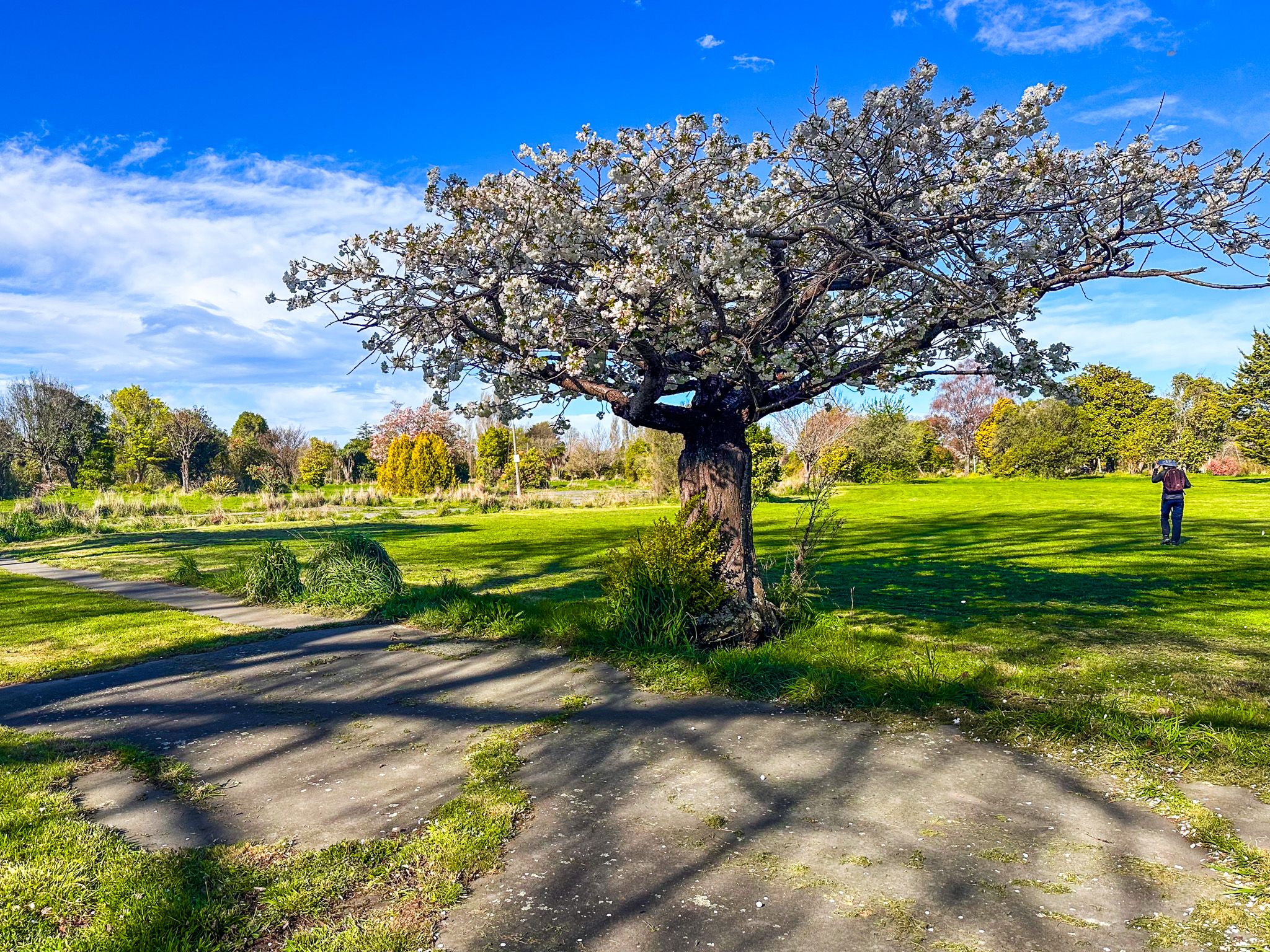
The Avon River / Ōtākaro area, stretching from Avonside to Bexley and New Brighton in Christchurch, was profoundly impacted by the 2010 and 2011 earthquakes. The land suffered from liquefaction, rendering it unsuitable for buildings. Consequently, these areas were designated as "red zones," affecting 8,000 homes. Residents were relocated, and the houses and services were removed and replaced with grass, leaving behind fields with trees and bushes. This transformation has led to a vast, evolving green space from the central city to the Estuary of the Heathcote and Avon Rivers / Ihutai.
Transforming the Red Zone
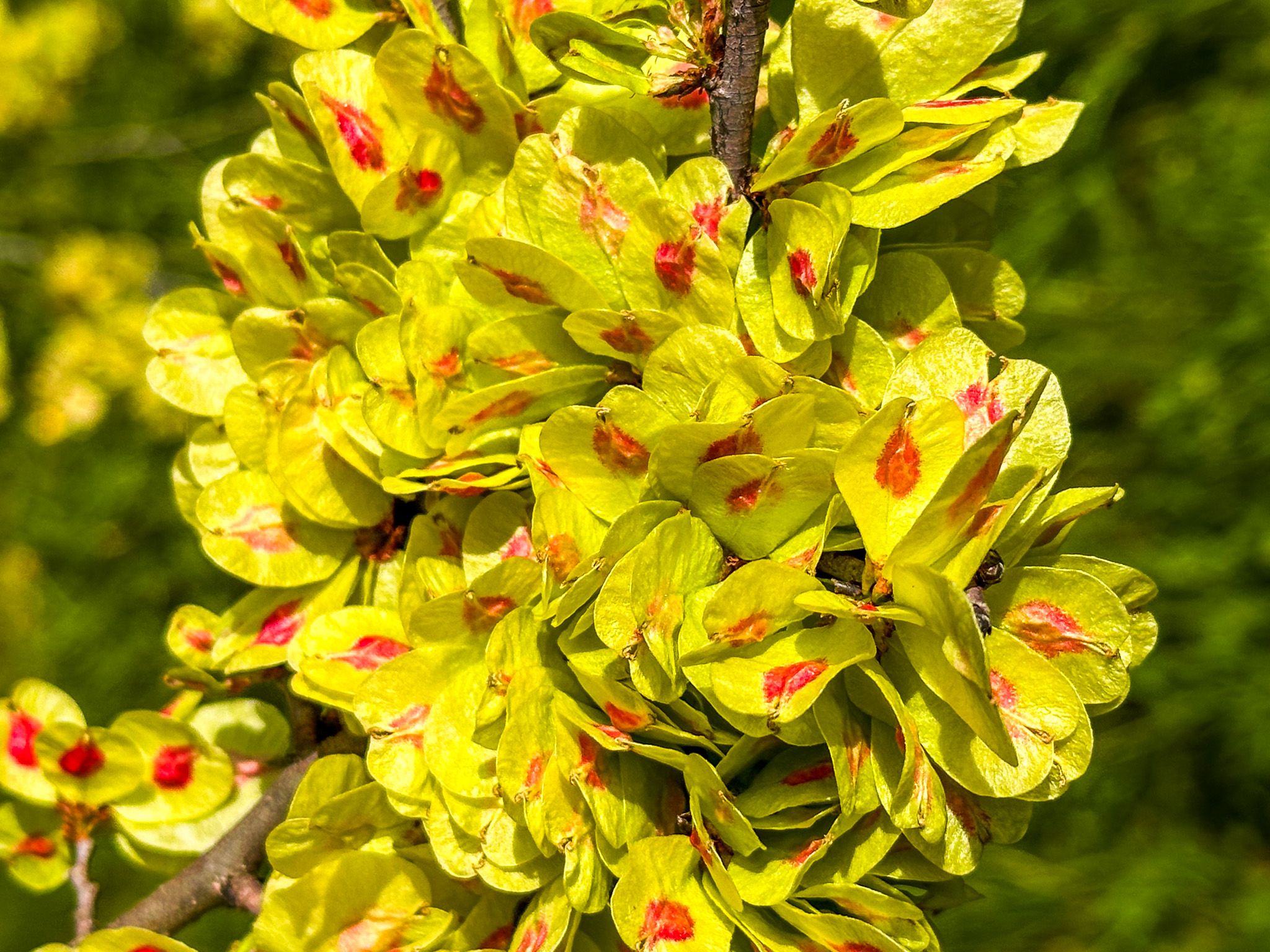
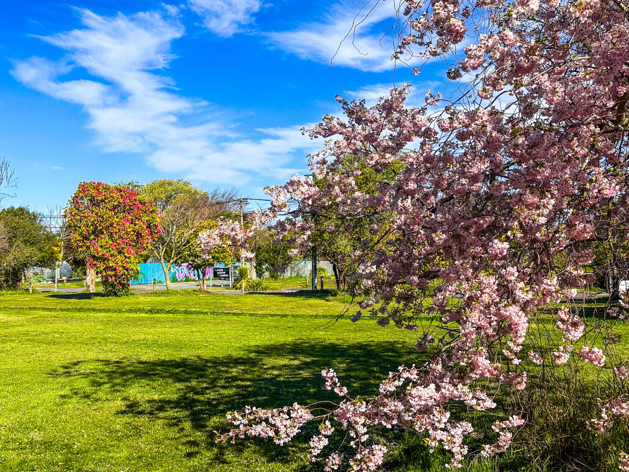
The future of the red zone has been a topic of much debate. The Avon-Otakaro Network, along with community groups, has championed the idea of converting the land into a park. Grass has been planted and is regularly maintained, making the area accessible for walking. Community gardens have been established in parts of the red zone, and efforts have been made to map the existing fruit and nut trees, with locations even available on Google Maps.
Walking and Cycling Paths
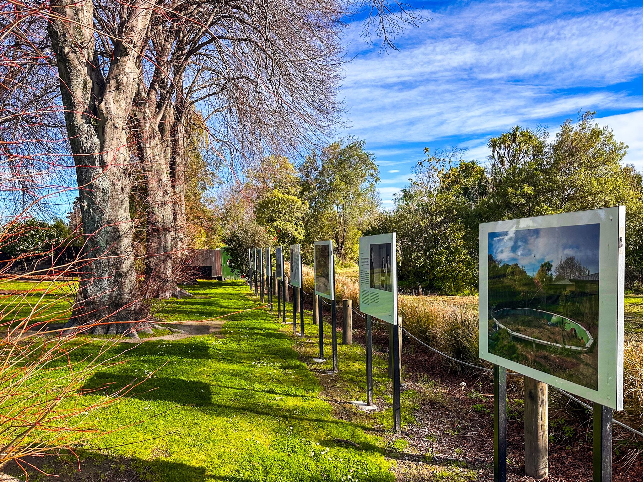
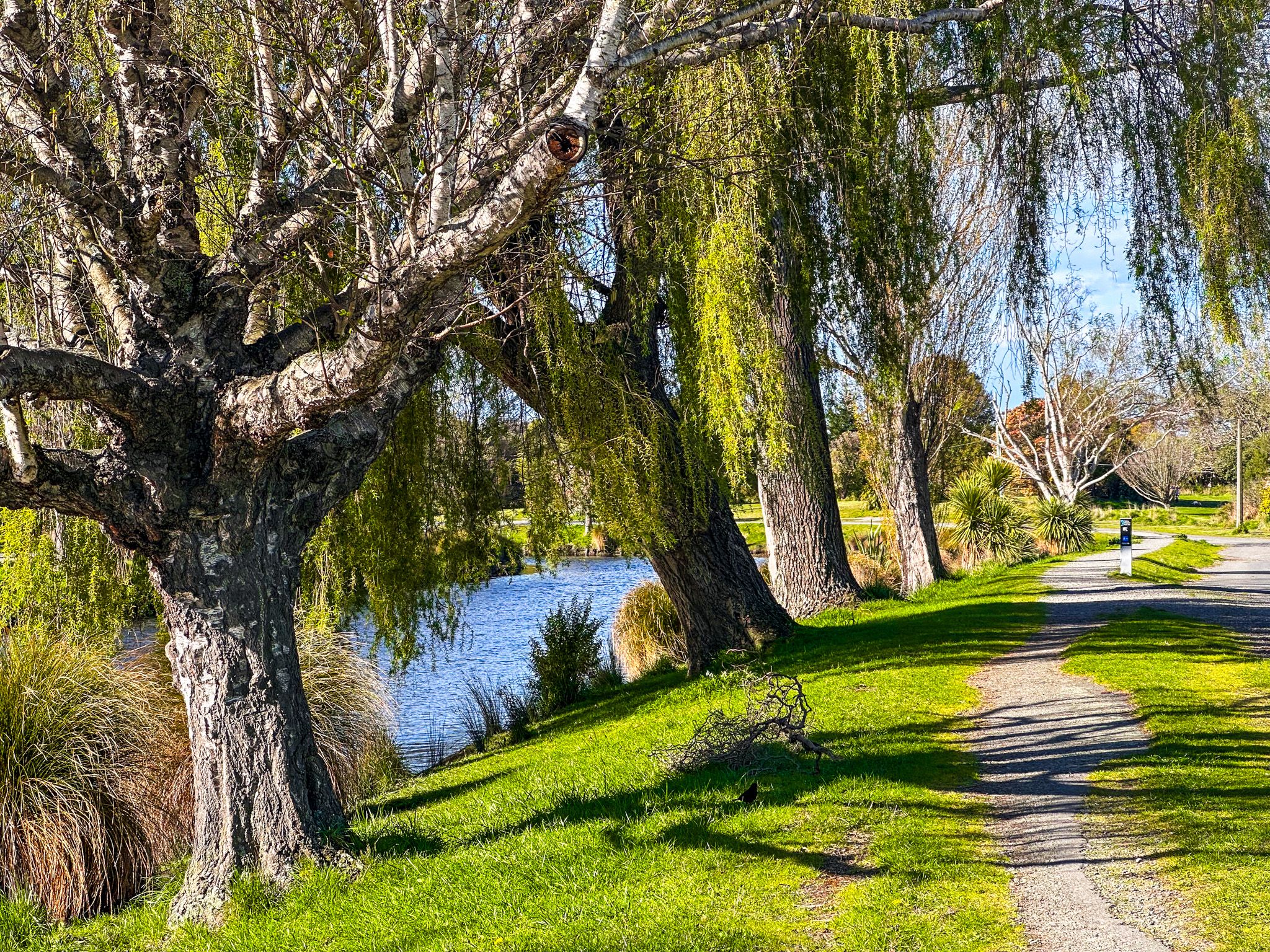
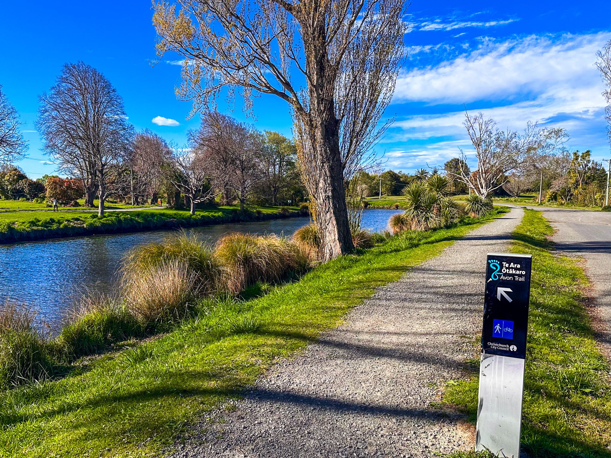
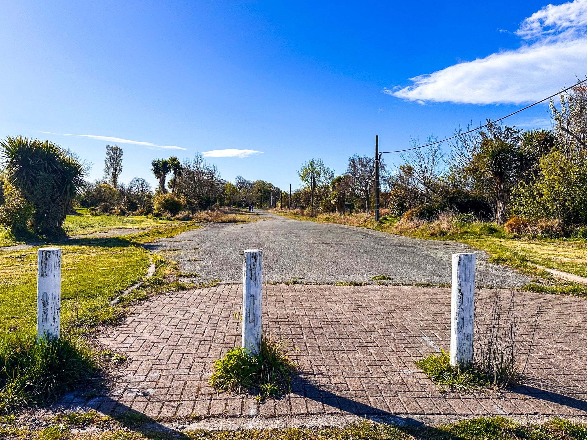
The red zone features walking and cycling paths that connect the central city to New Brighton. These paths, enhanced by the use of blocked-off suburban river roads, are among the best city cycleways in New Zealand. Along the route, informational panels recount events from the earthquakes and their aftermath, providing a historical context to the landscape.
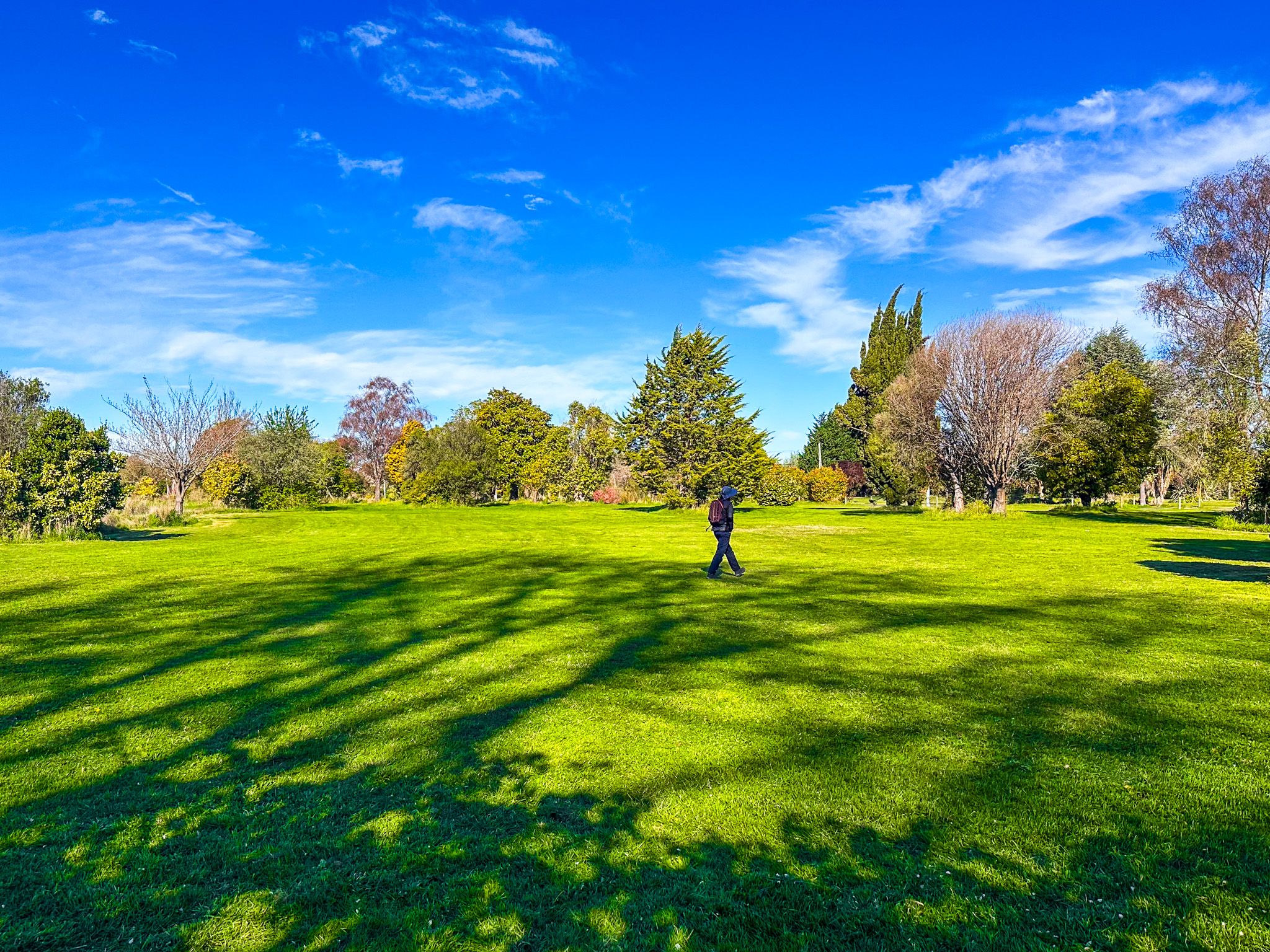
Visiting Avonside
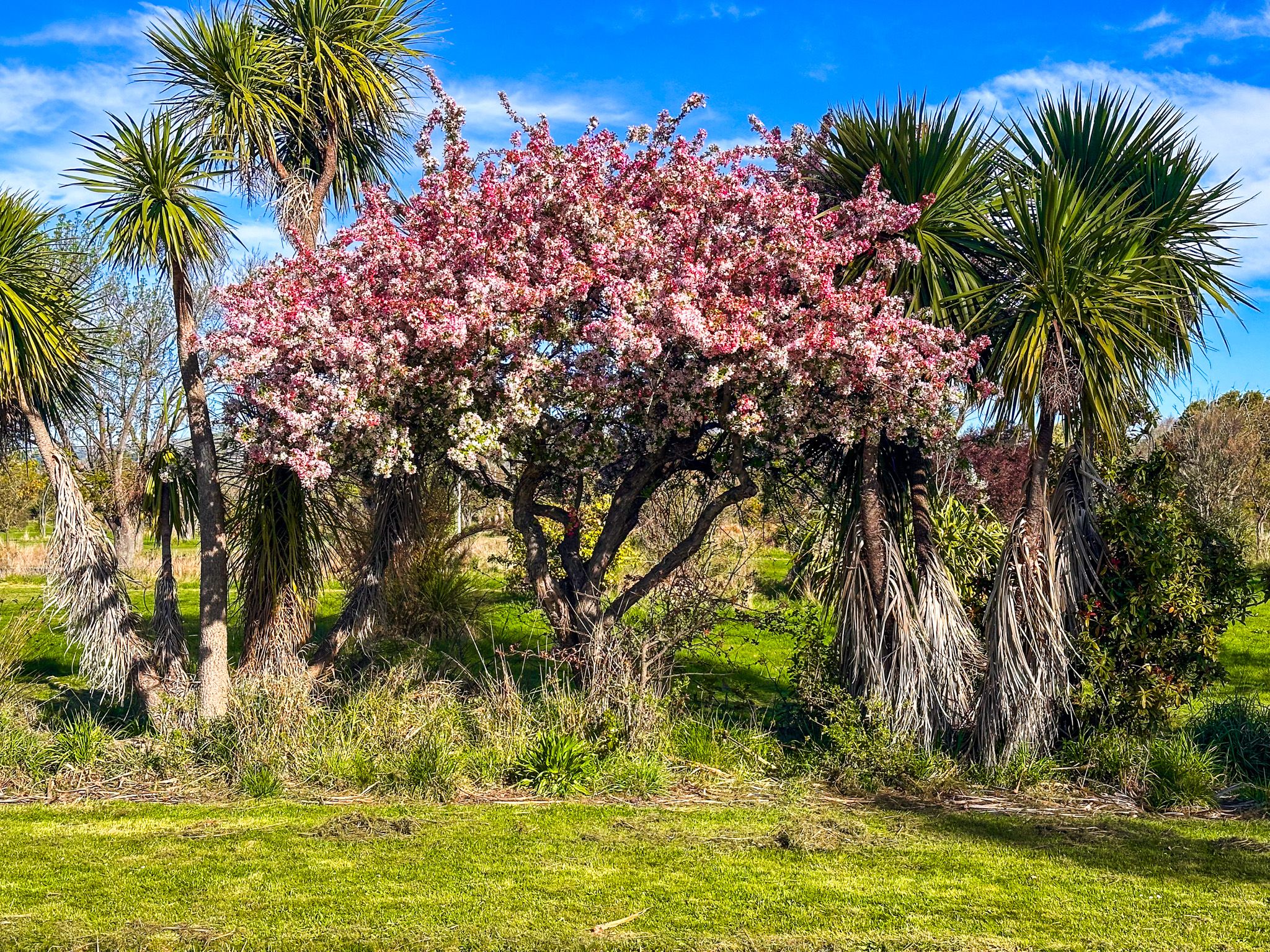
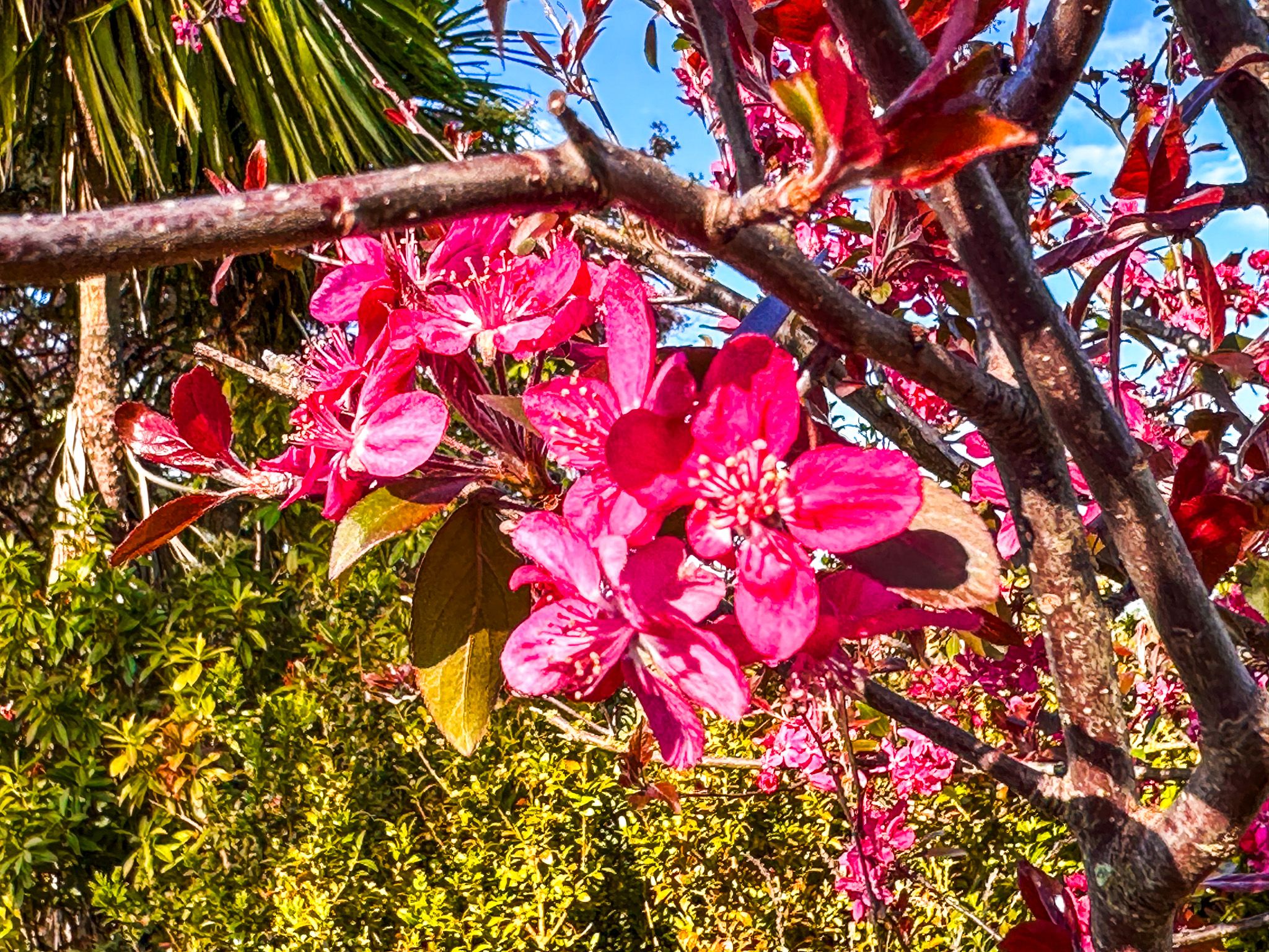
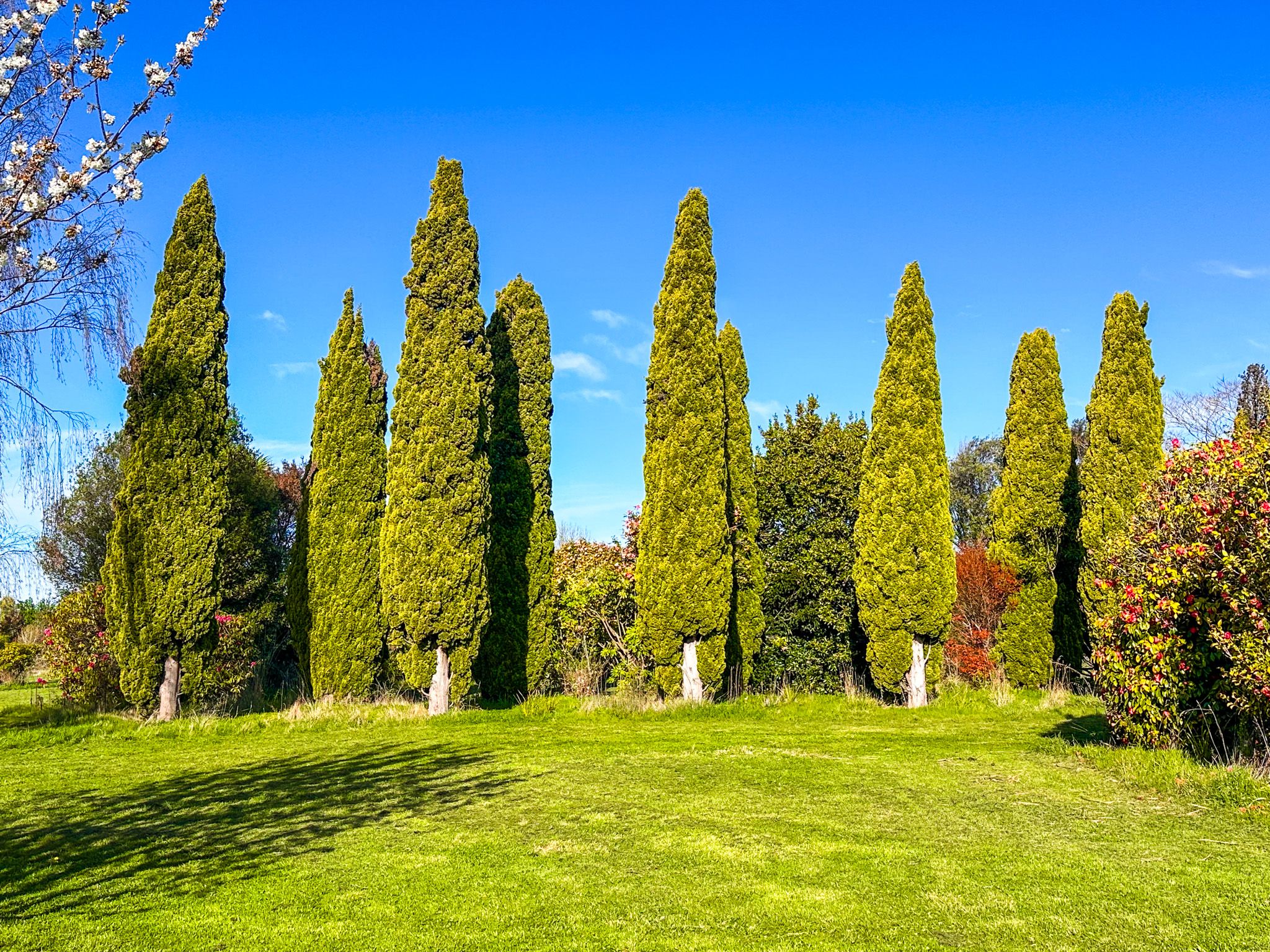
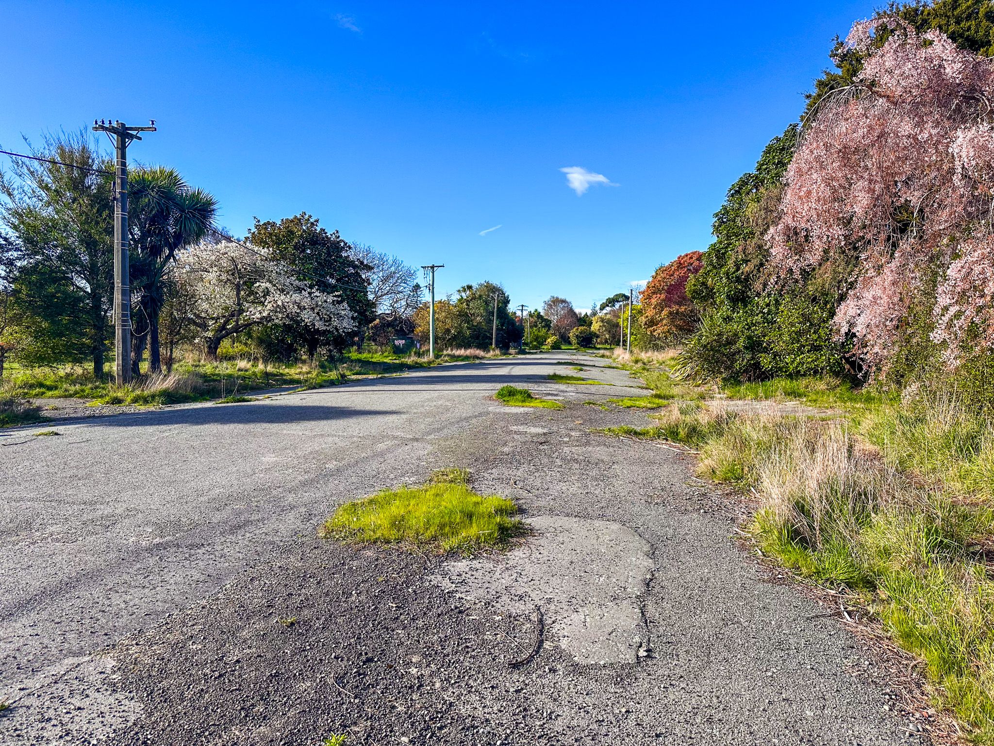
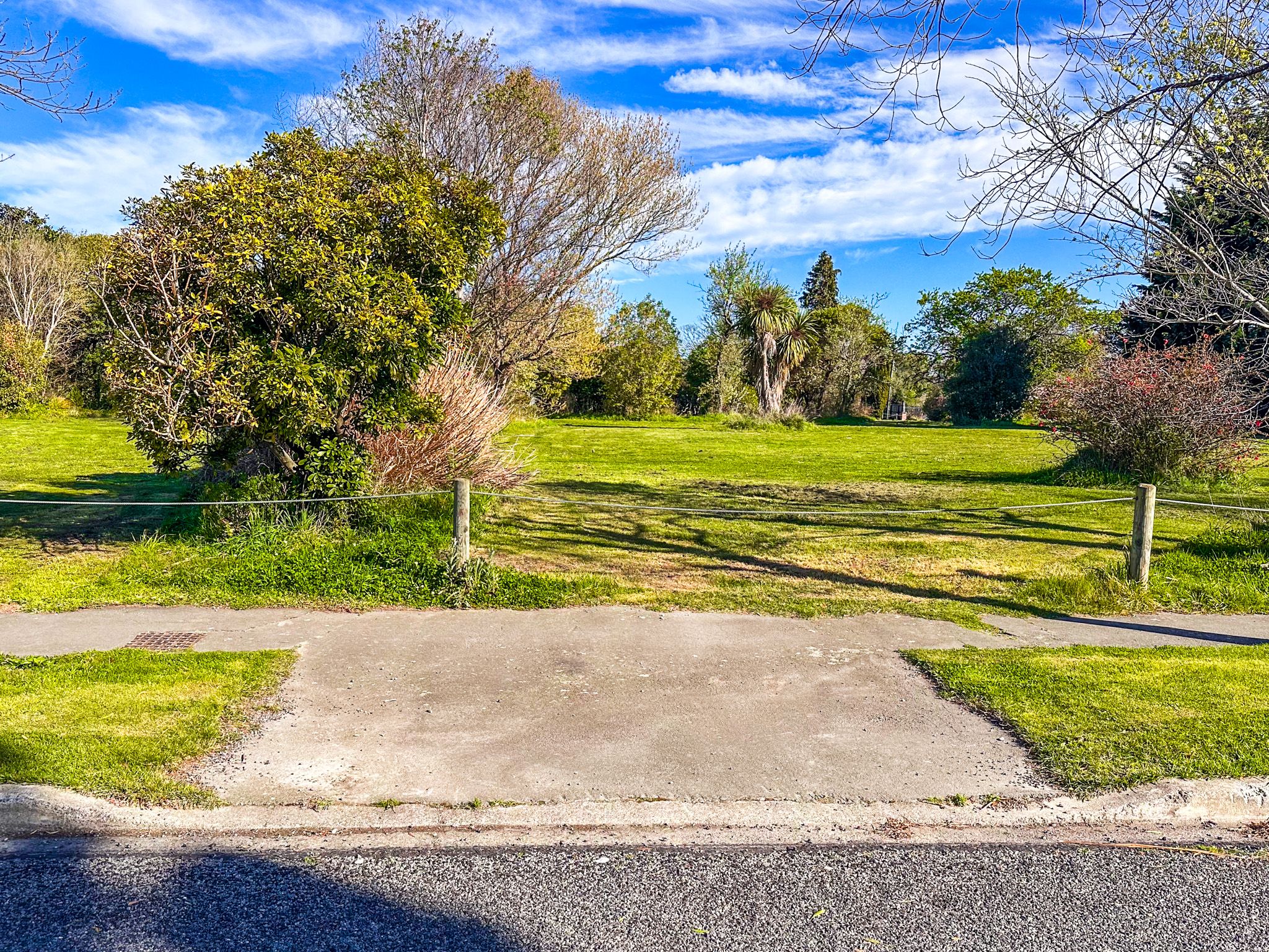
Avonside, one of the larger affected suburbs, is located on the Avon River northeast of Central Christchurch. You can drive into the area on Retreat Road and find parking easily. Walking through Avonside is a surreal experience, with broad open grassed areas and remnants of what was once a vibrant community. The old suburban roads remain, though driveways are gone and footpaths are gradually being reclaimed by nature. A small park in the area features panels that share moving personal stories from former residents.
Viewing the Red Zone
For those passing by, the red zone is also visible from State Highway 74 between Aranui and New Brighton. This provides a glimpse into the transformation of the landscape following the earthquakes.
How to Get There
The easiest way to access the red zone is via Retreat Road, Gayhurst Road and New Brighton Road. These roads cross the zone, and roadside parking is available.
Large parts of Central Christchurch have been rebuilt since the earthquake, and the city is a wonderful walking experience. The Margaret Mahy Family Playground, Cathedral Square, New Regent Street, Victoria Square, Botanic Gardens, Art Gallery, and the Earthquake Memorial are among the highlights.