Exploring the Historic Old Dunstan Road
The Old Dunstan Road, also known as the Dunstan Trail, is a historic route established in the early 1860s. It served as a vital connection between the goldfields of Central Otago and Dunedin on the Pacific Coast. This trail offered the shortest path to the gold diggings around Clyde, then known as Dunstan.
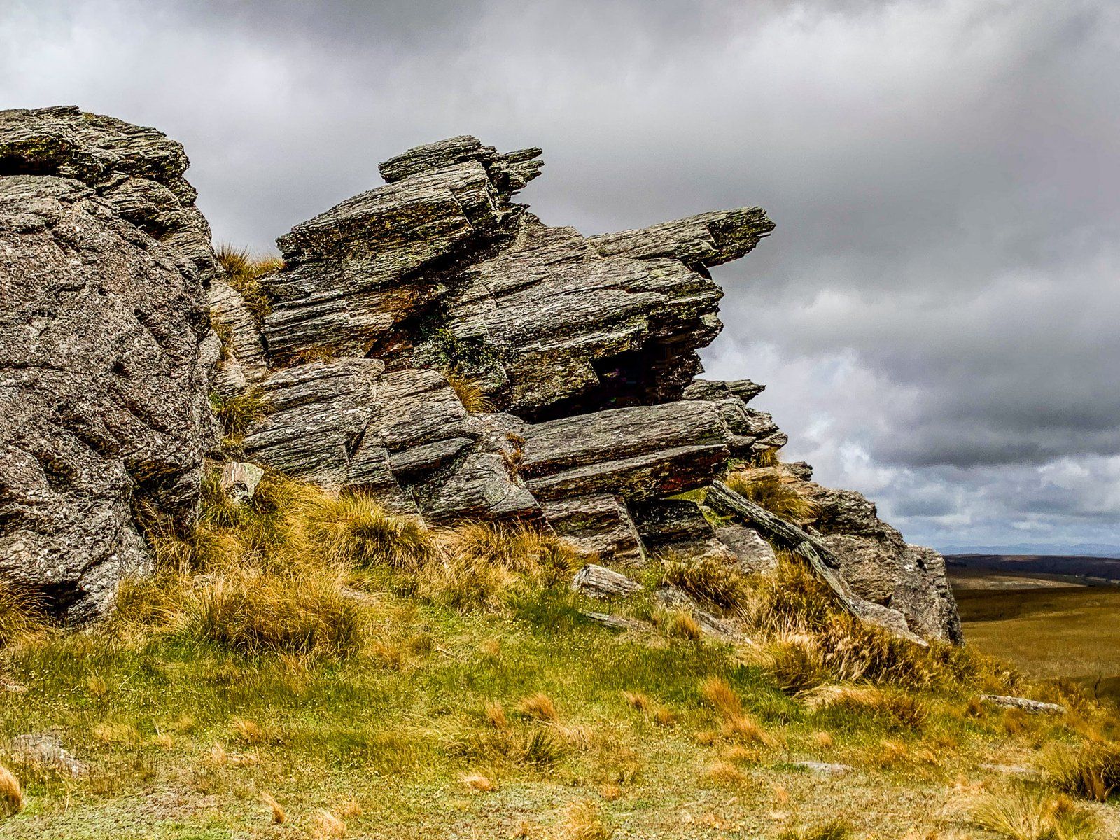
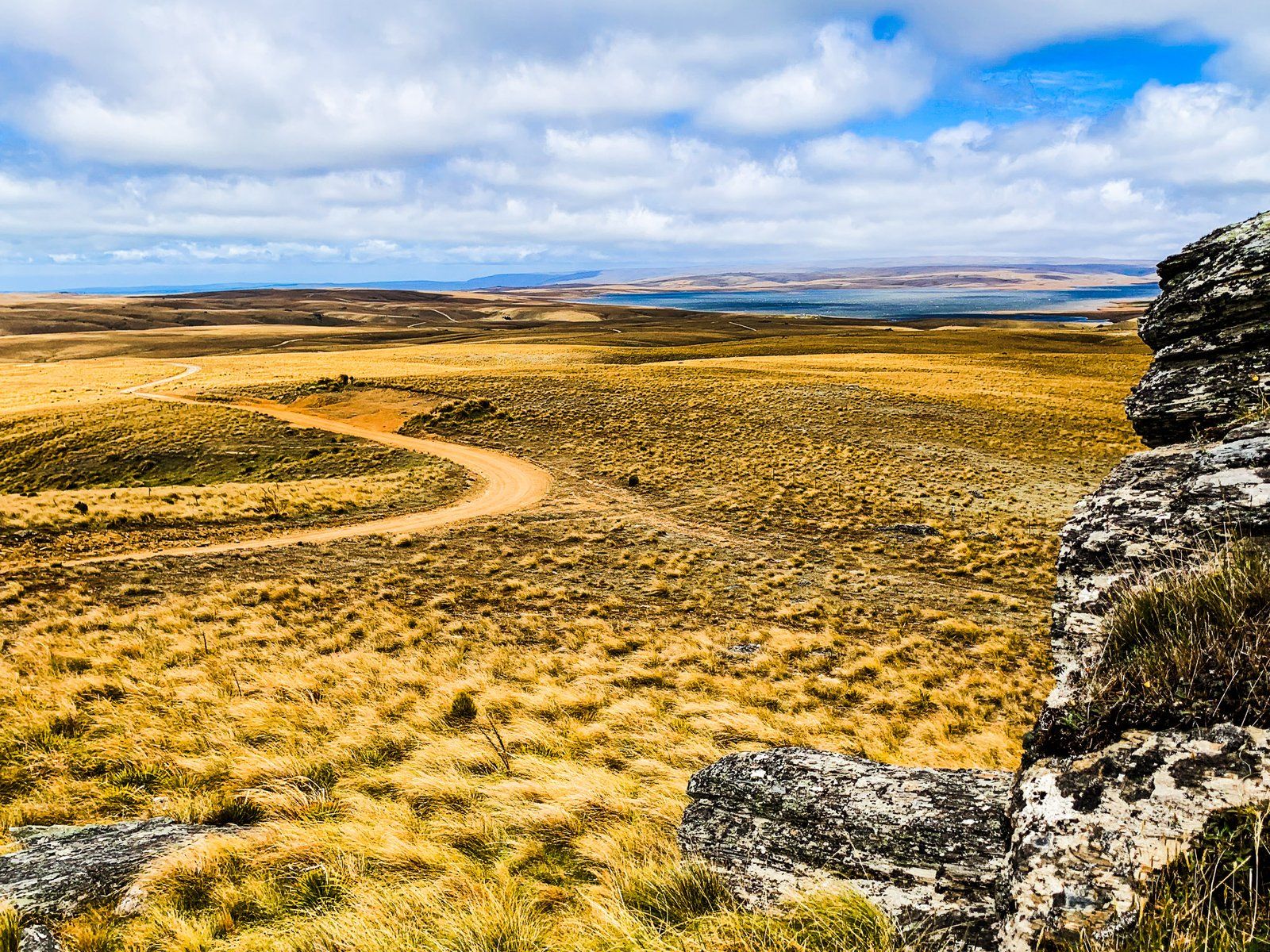
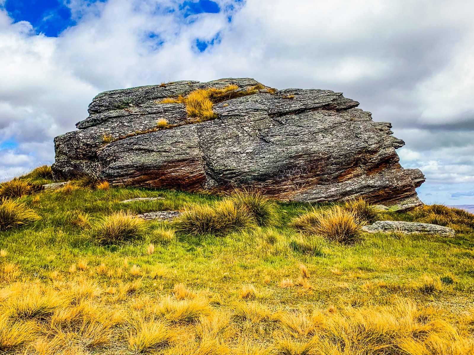
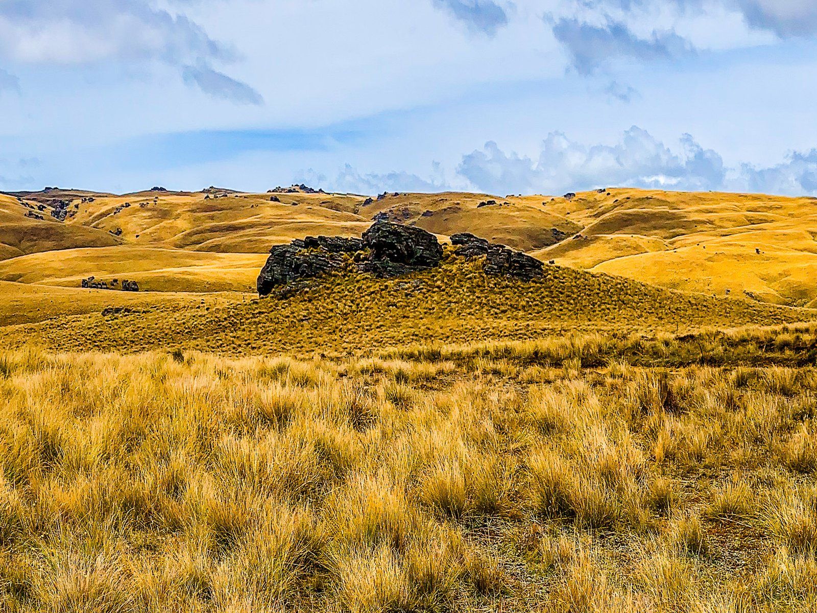
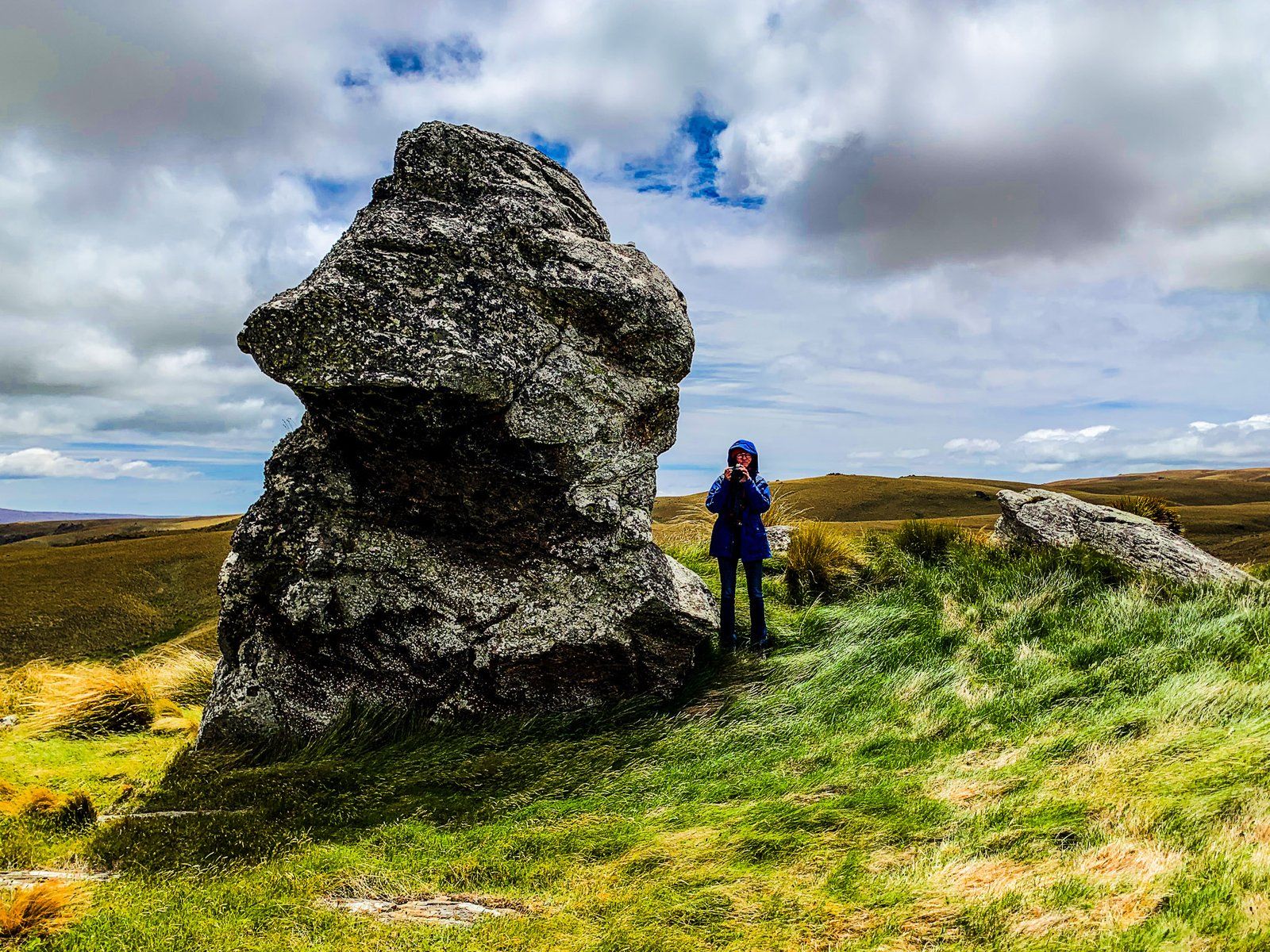
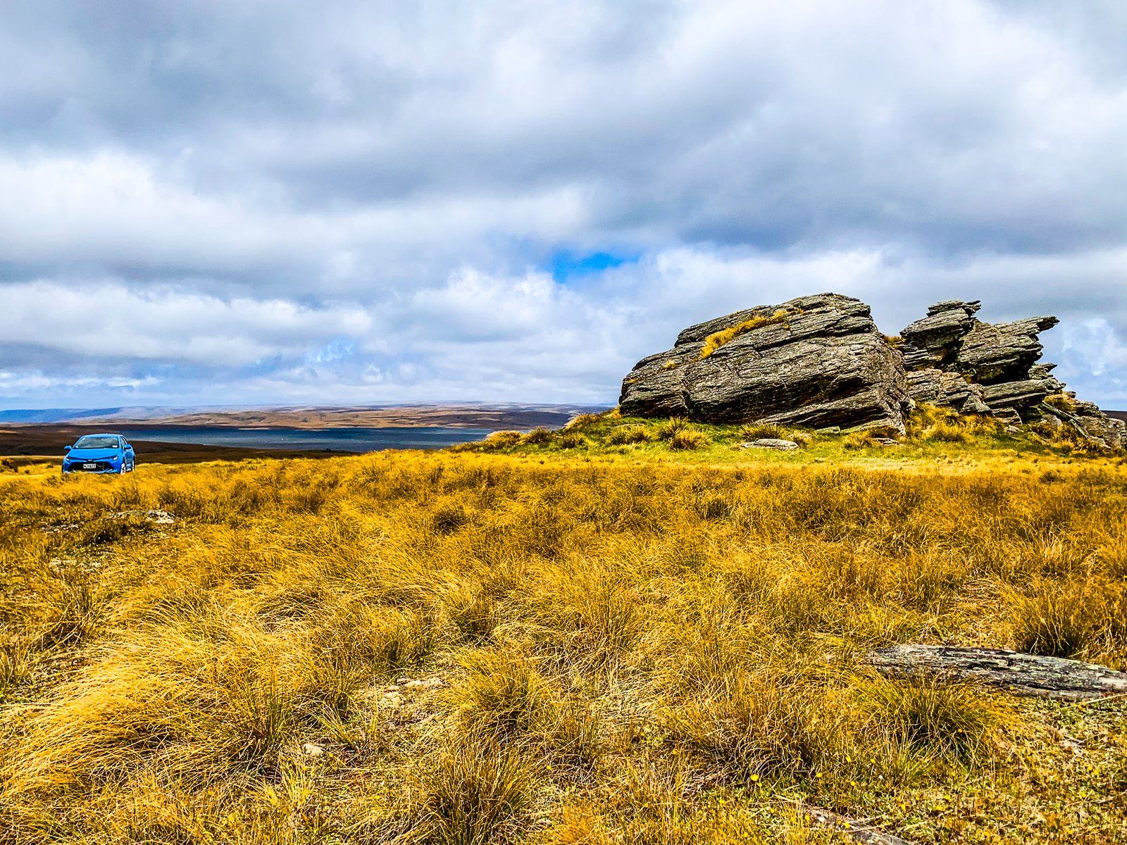
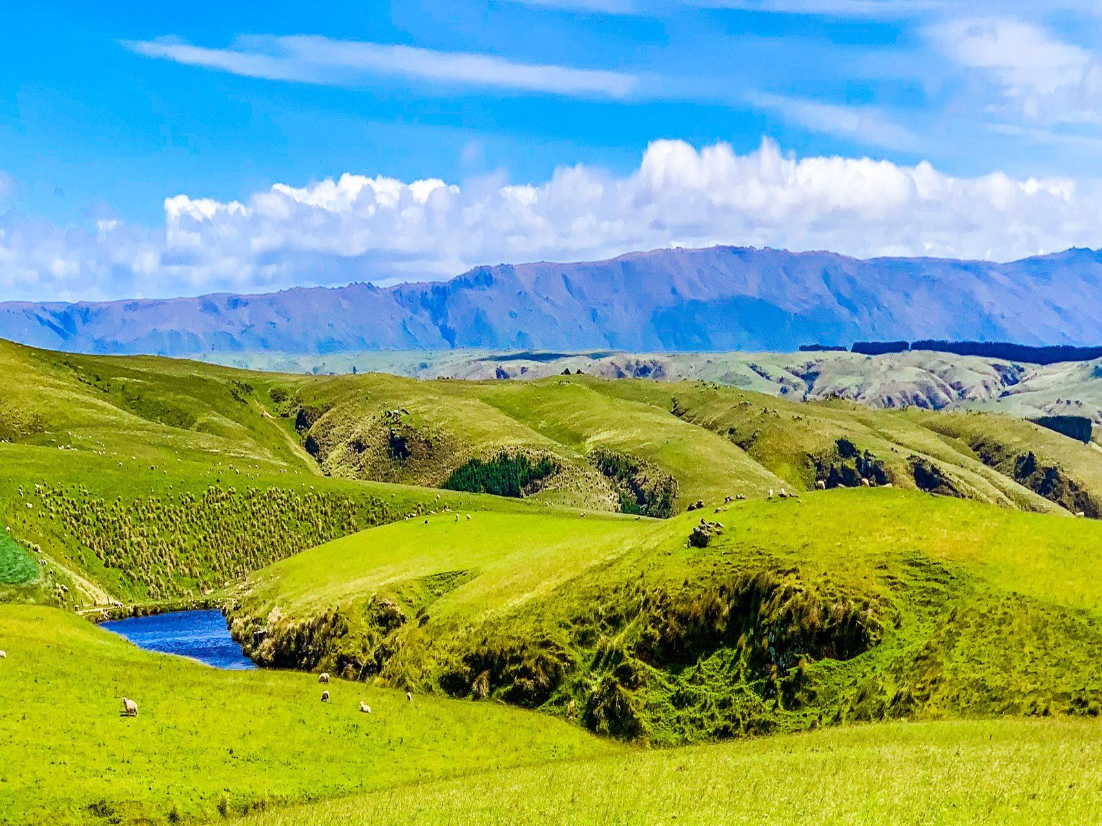
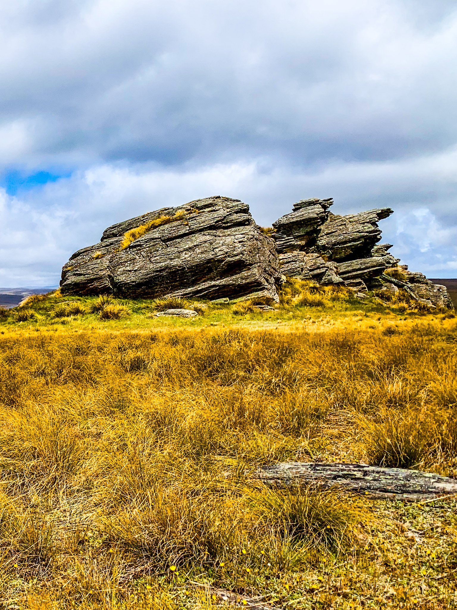
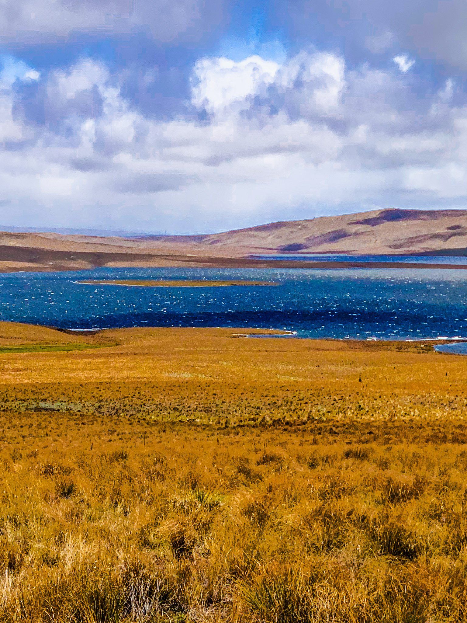
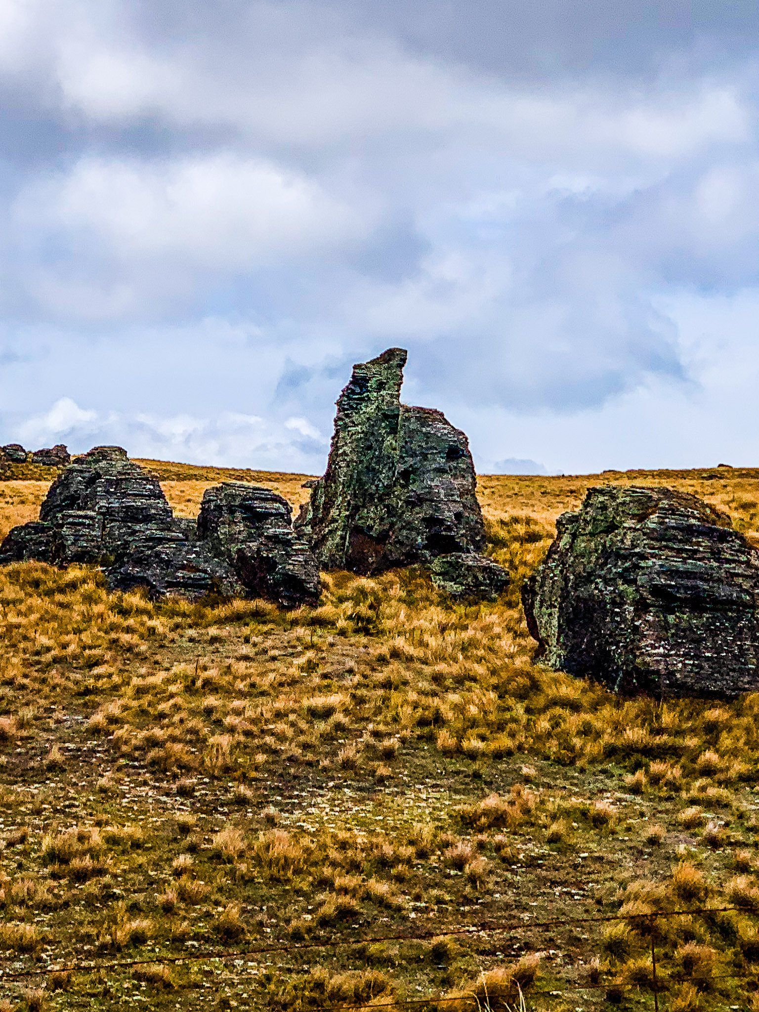
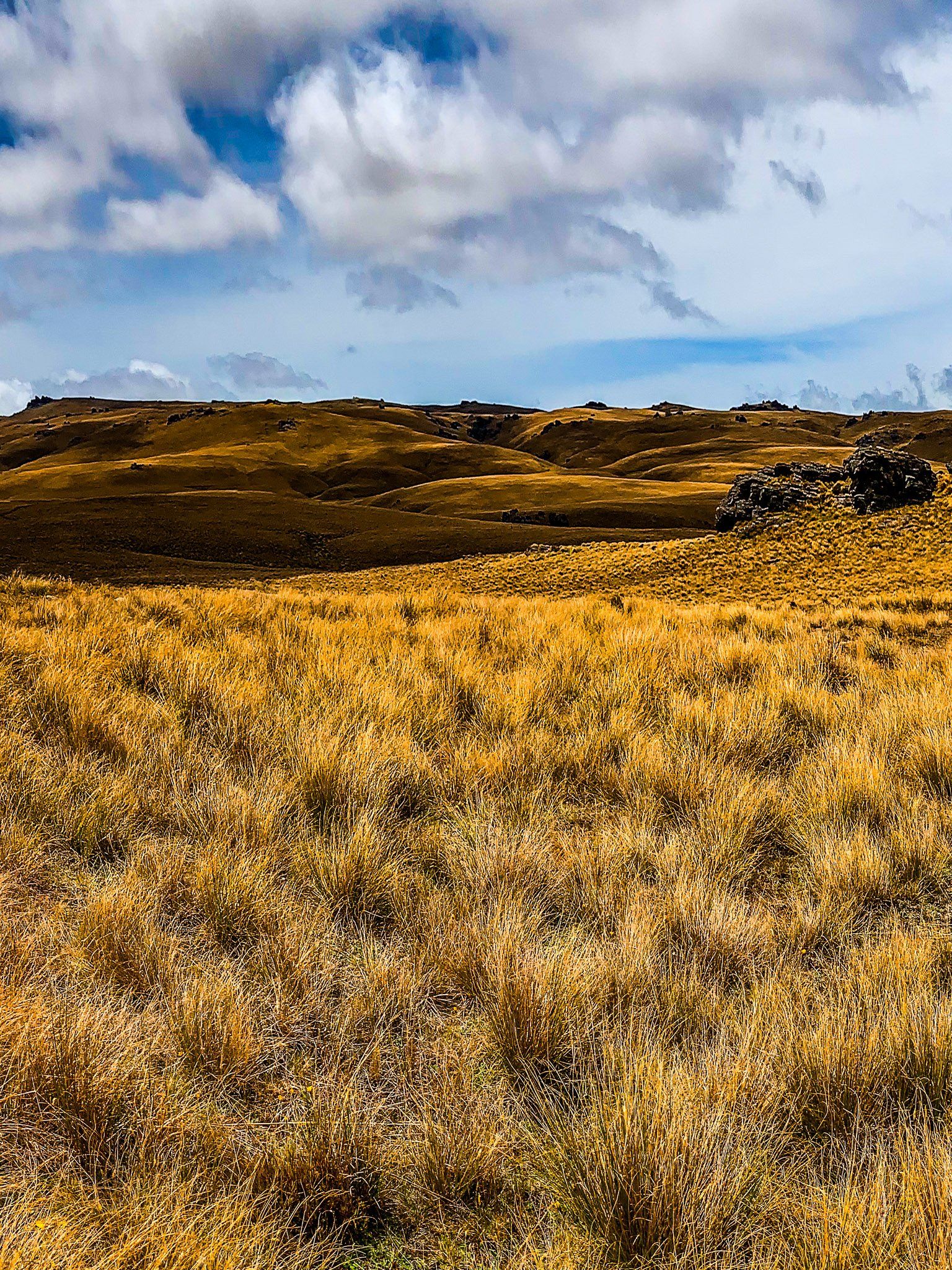
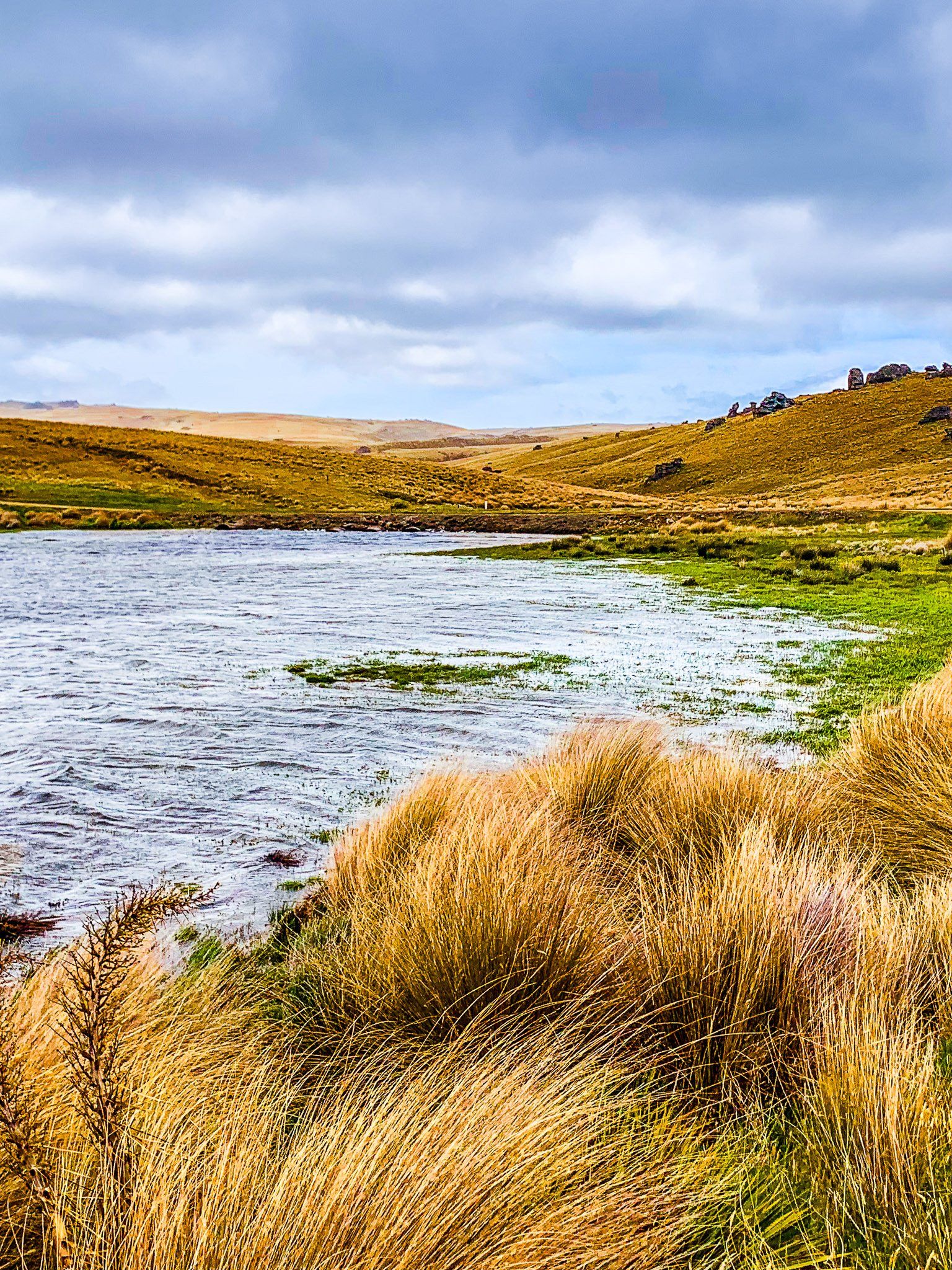
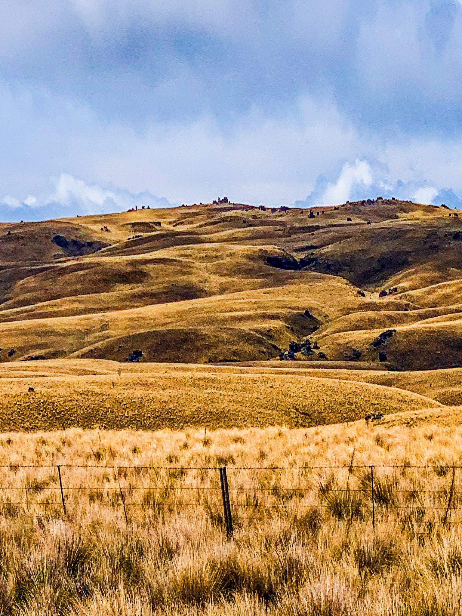
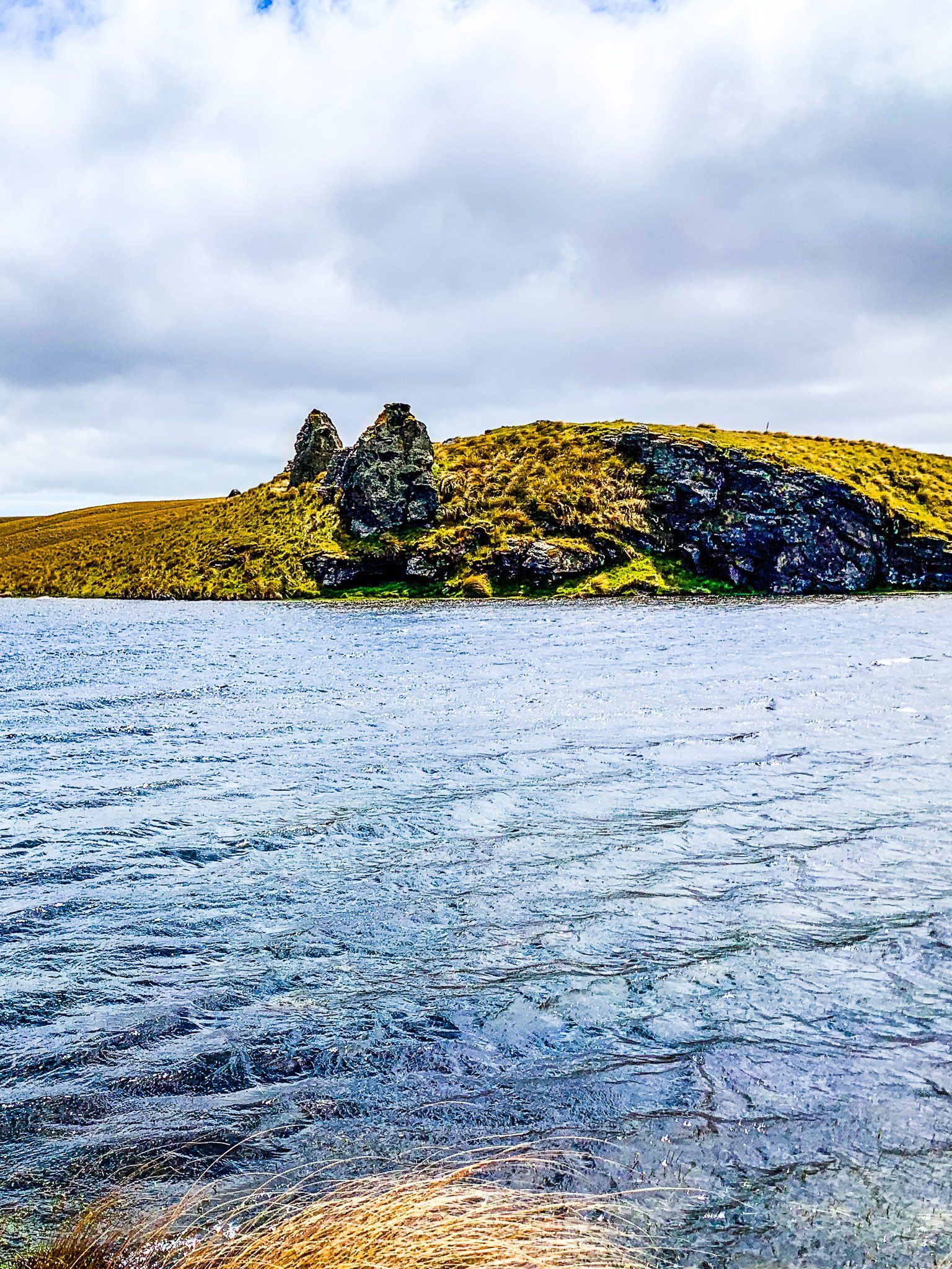
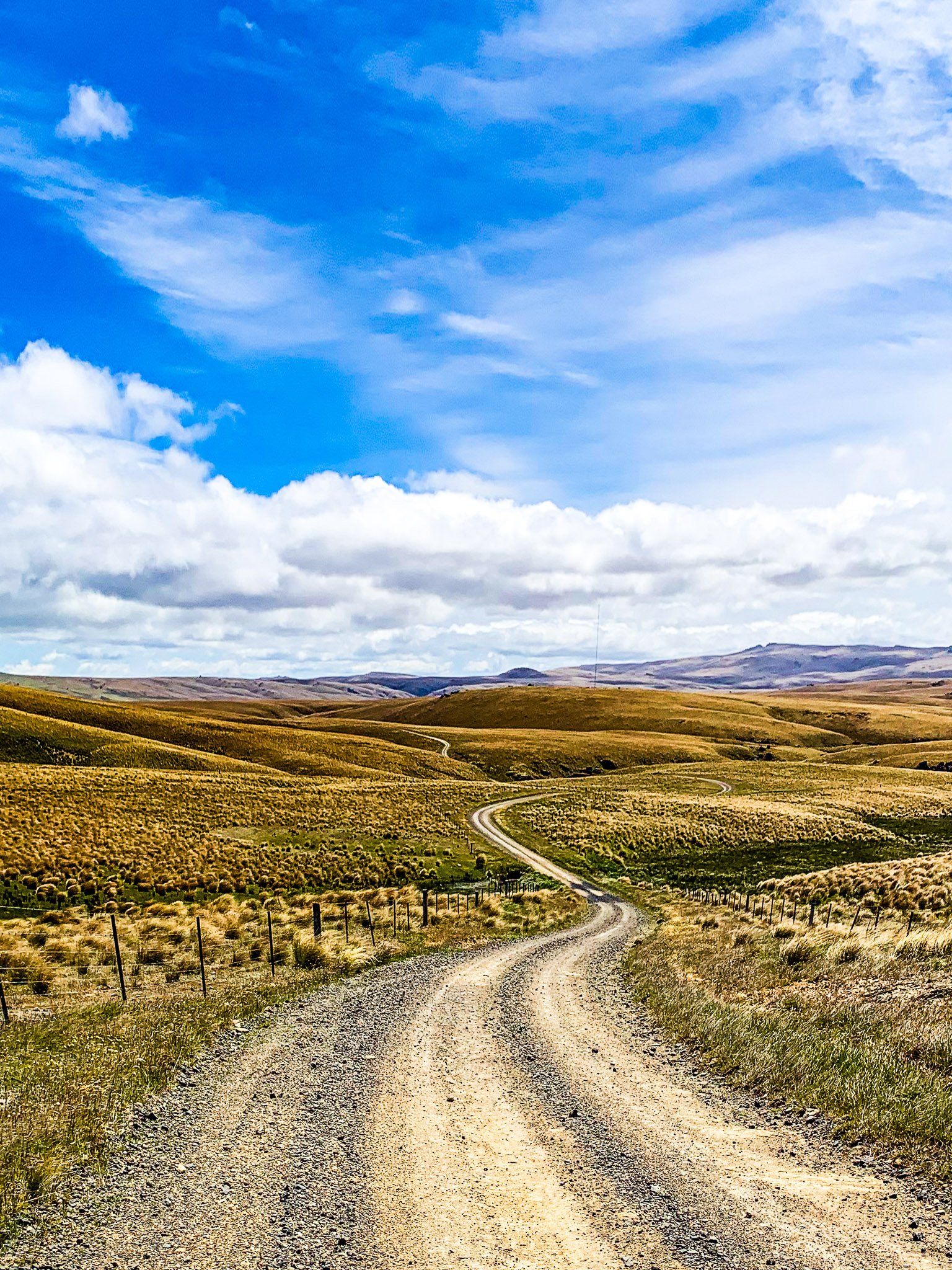
Known as the Mountain Track, the road traverses the remote Otago highlands, bordered by the Lammermoor, Rock and Pillar, Lammerlaw, and Knobby mountain ranges. Today, it offers a remote driving adventure through arid highland tussock and rocky tor landscapes, with a couple of large remote water reservoirs along the way.
Journey from Clarks Junction
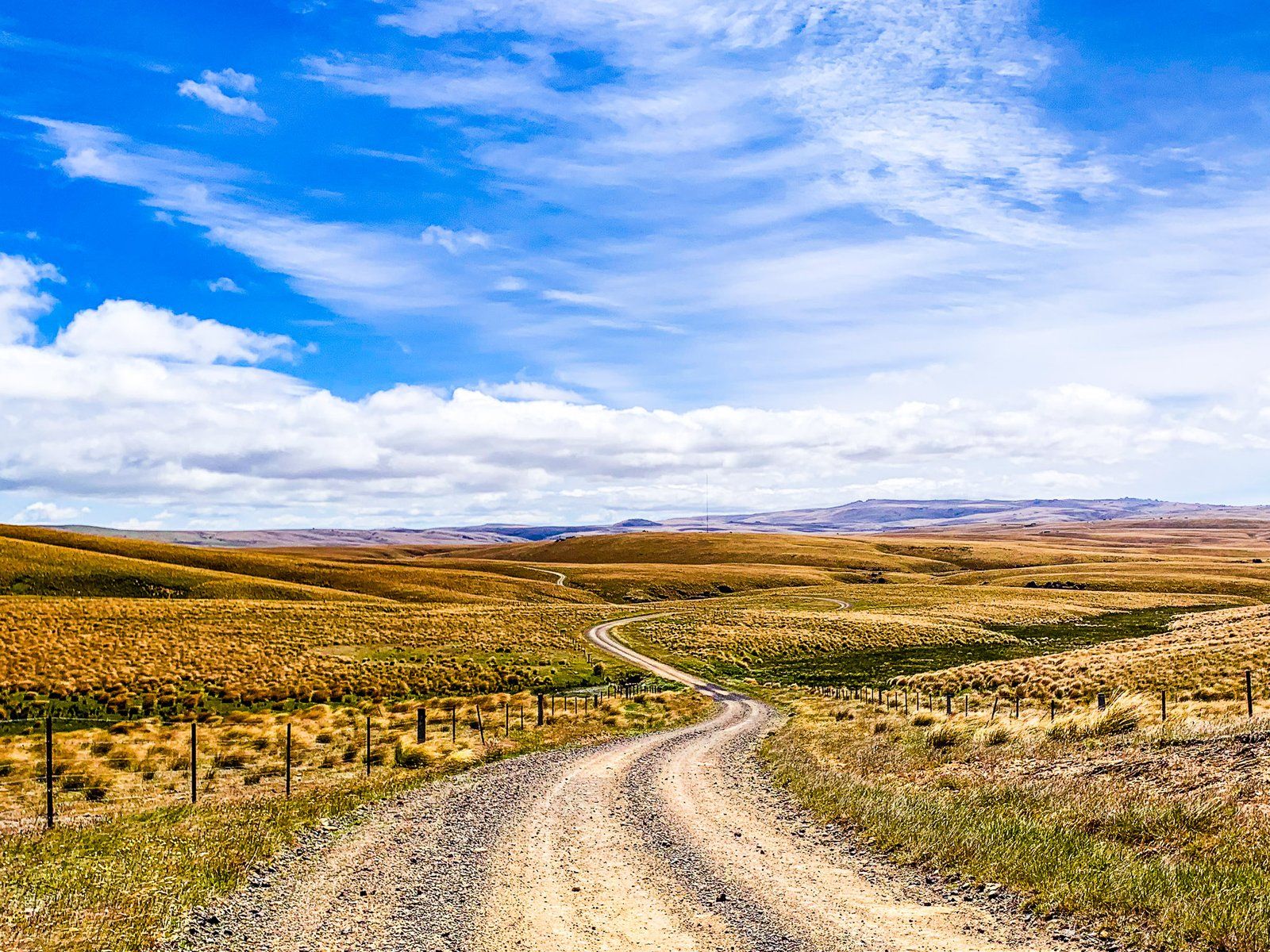
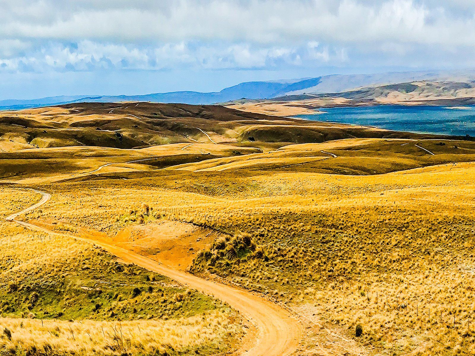
The Old Dunstan Road begins at Clarks Junction on State Highway 87. Initially, the road crosses a flat area of farmland at an elevation of 550 metres. It then ascends between the Lammermoor and Rock and Pillar Ranges, reaching 900 metres. The road passes the Loganburn Reservoir and climbs to 1,000 metres, maintaining this elevation for seven kilometres before descending steeply to Paerau on the Taieri River. A second mountain section starts from the south end of the Upper Taieri Plain, crossing Rough Ridge at 900 metres to the Poolburn Reservoir, then descending into the Ida Valley.
Driving Conditions and Recommendations
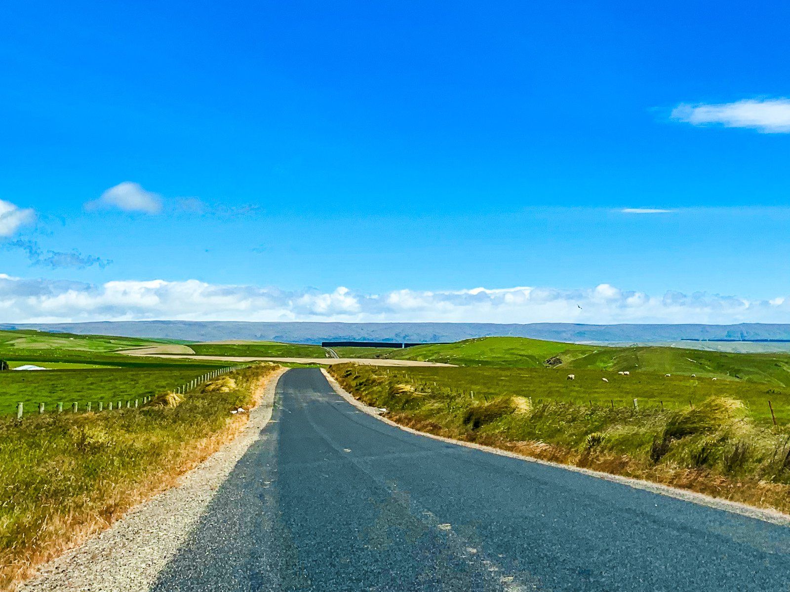
The road is closed in winter, and the mountain sections can become muddy and rutted when wet. In good weather, a 2WD vehicle can manage the journey to the Loganburn Reservoir from Clarks Junction or from the Ida Valley to the Poolburn Reservoir. However, for the entire trip, a 4WD is recommended to avoid getting stuck.
The full journey from Clarks Junction to Paerau is 46 km, with another 46 km over Rough Ridge to the Ida Valley. Allow at least four hours for the drive, including stops.
Lowland Scenery
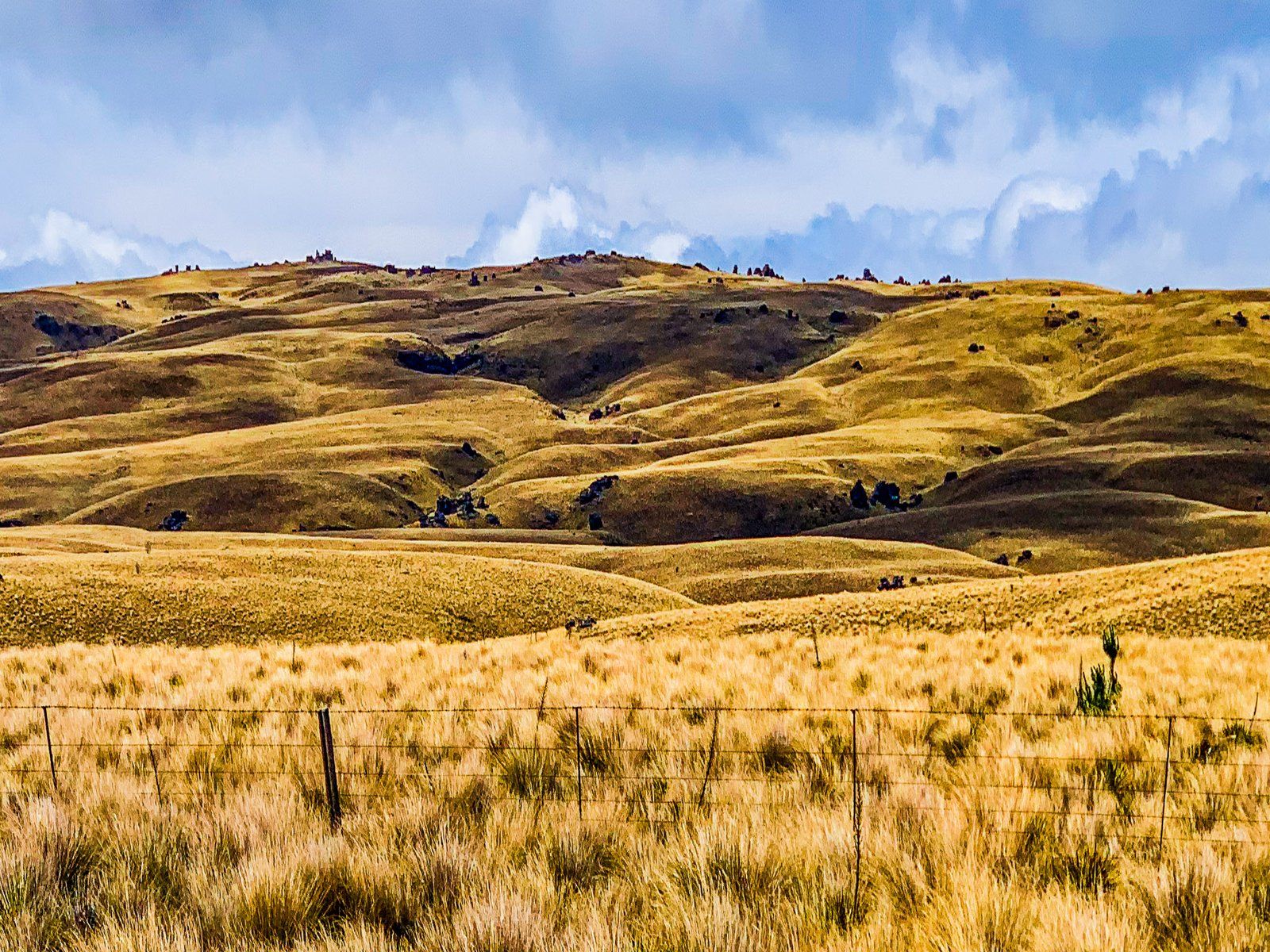
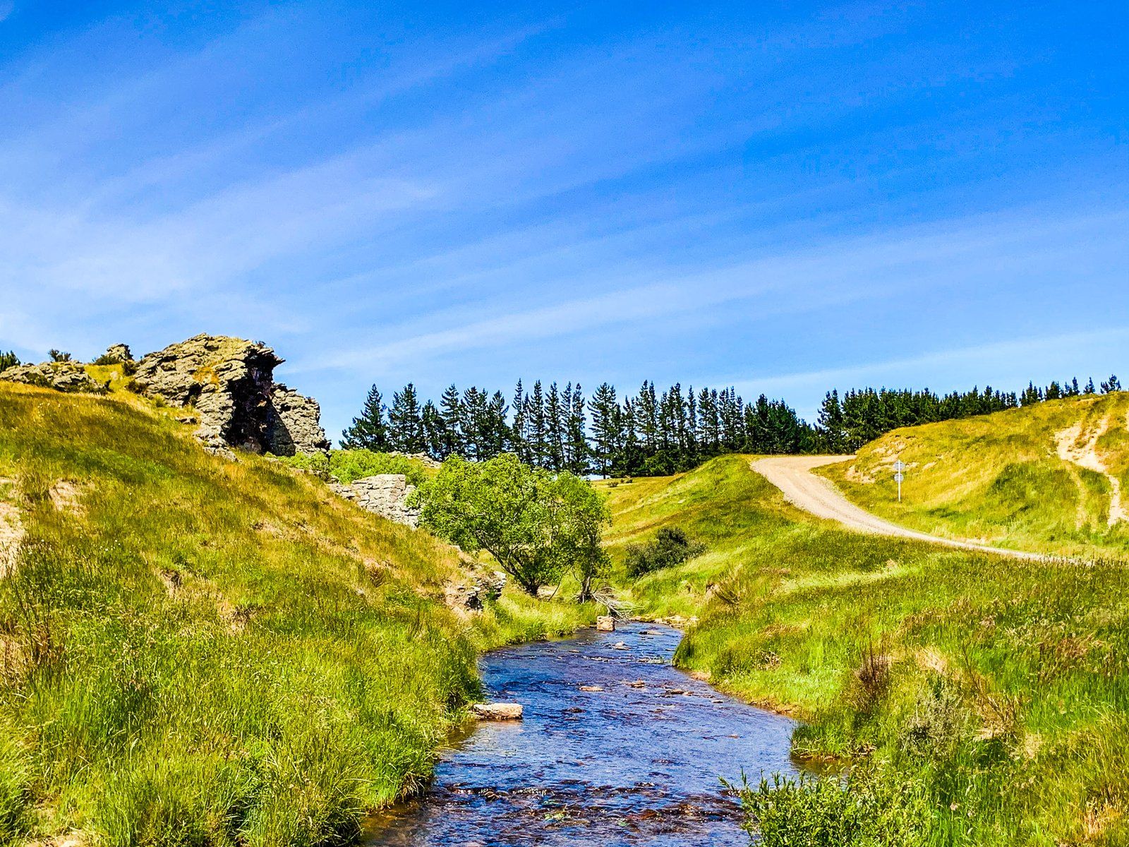
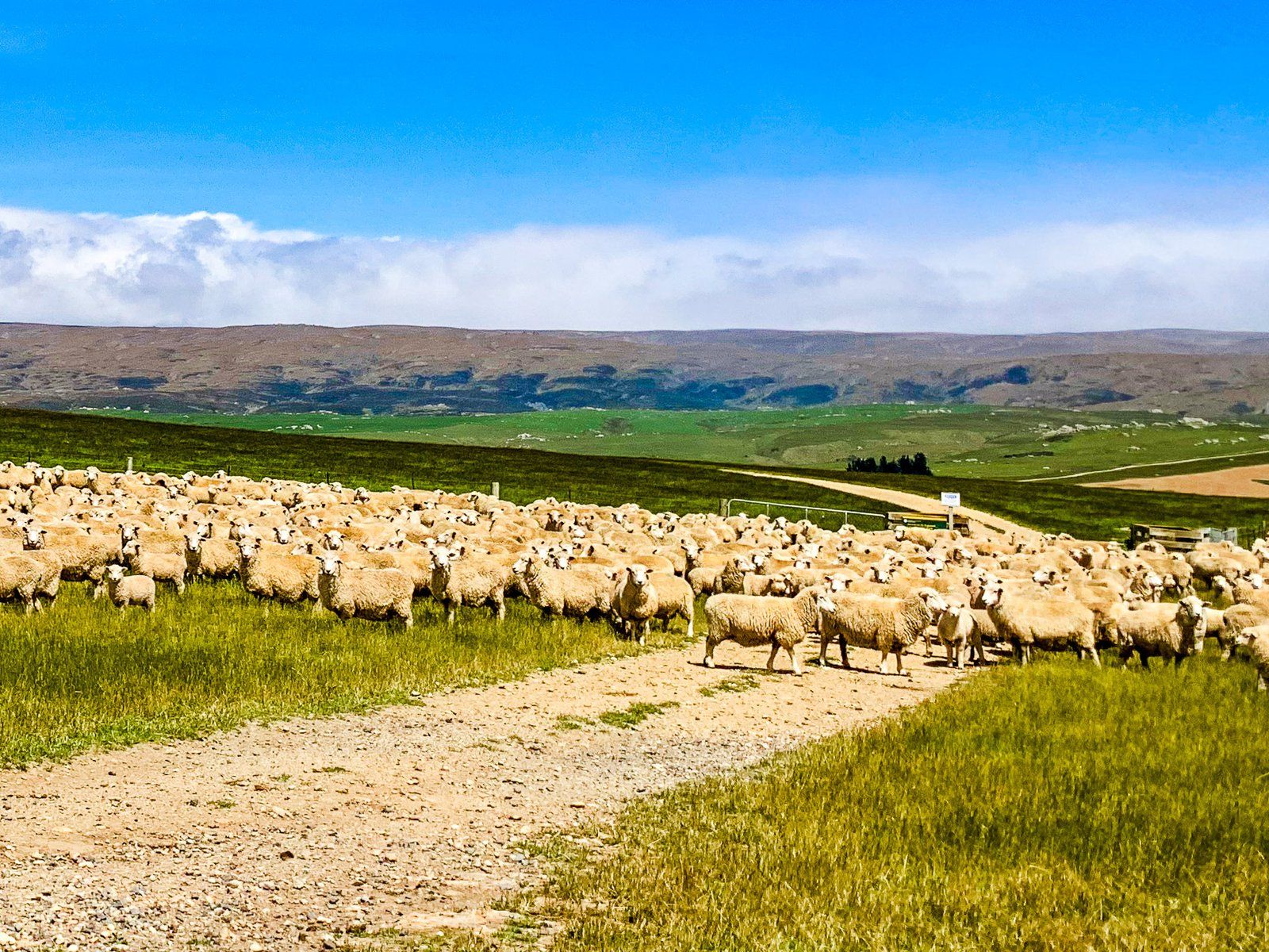
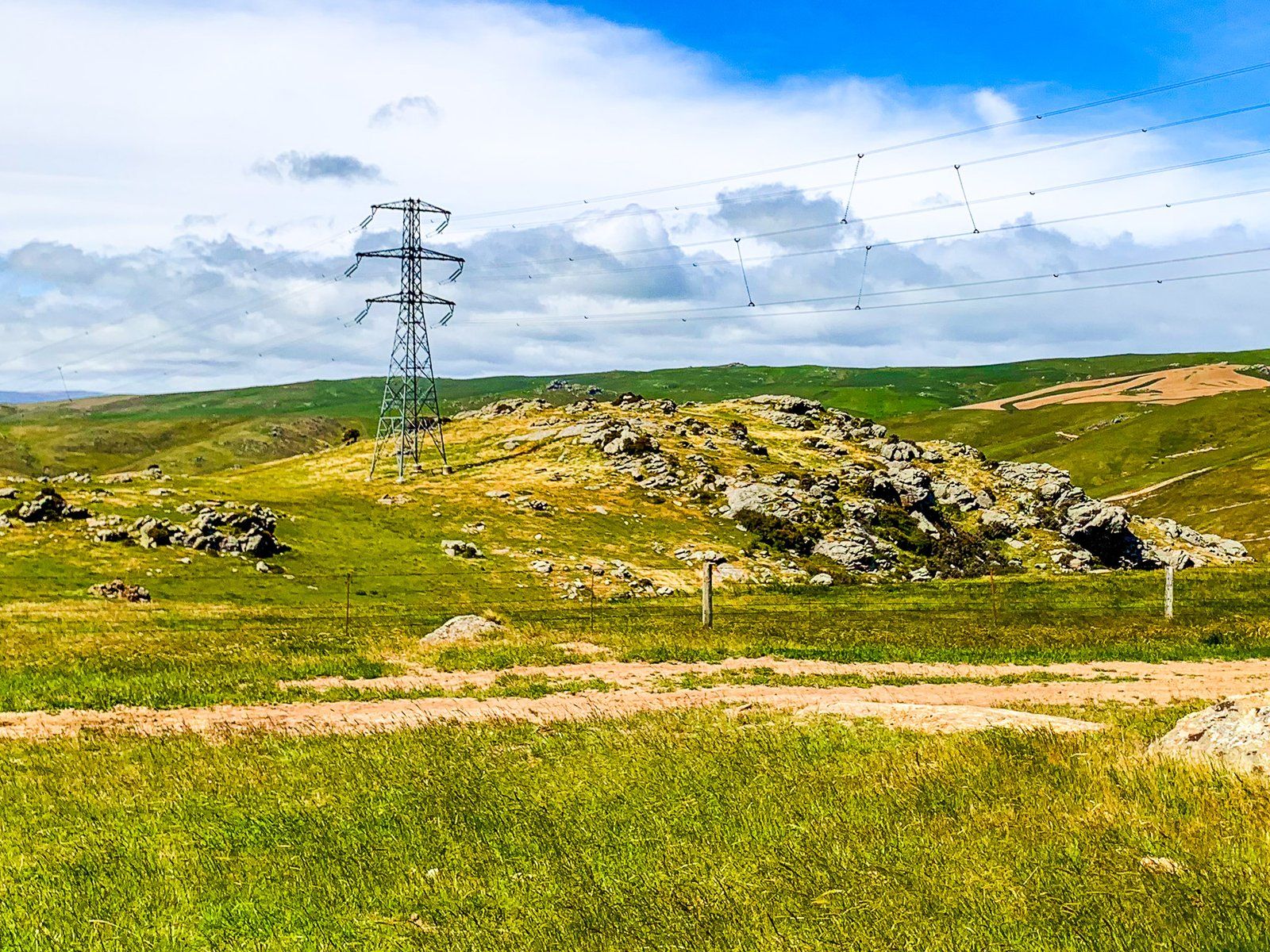
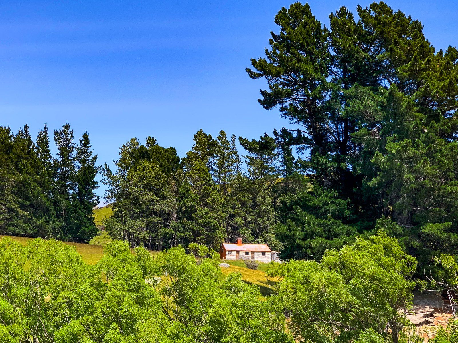
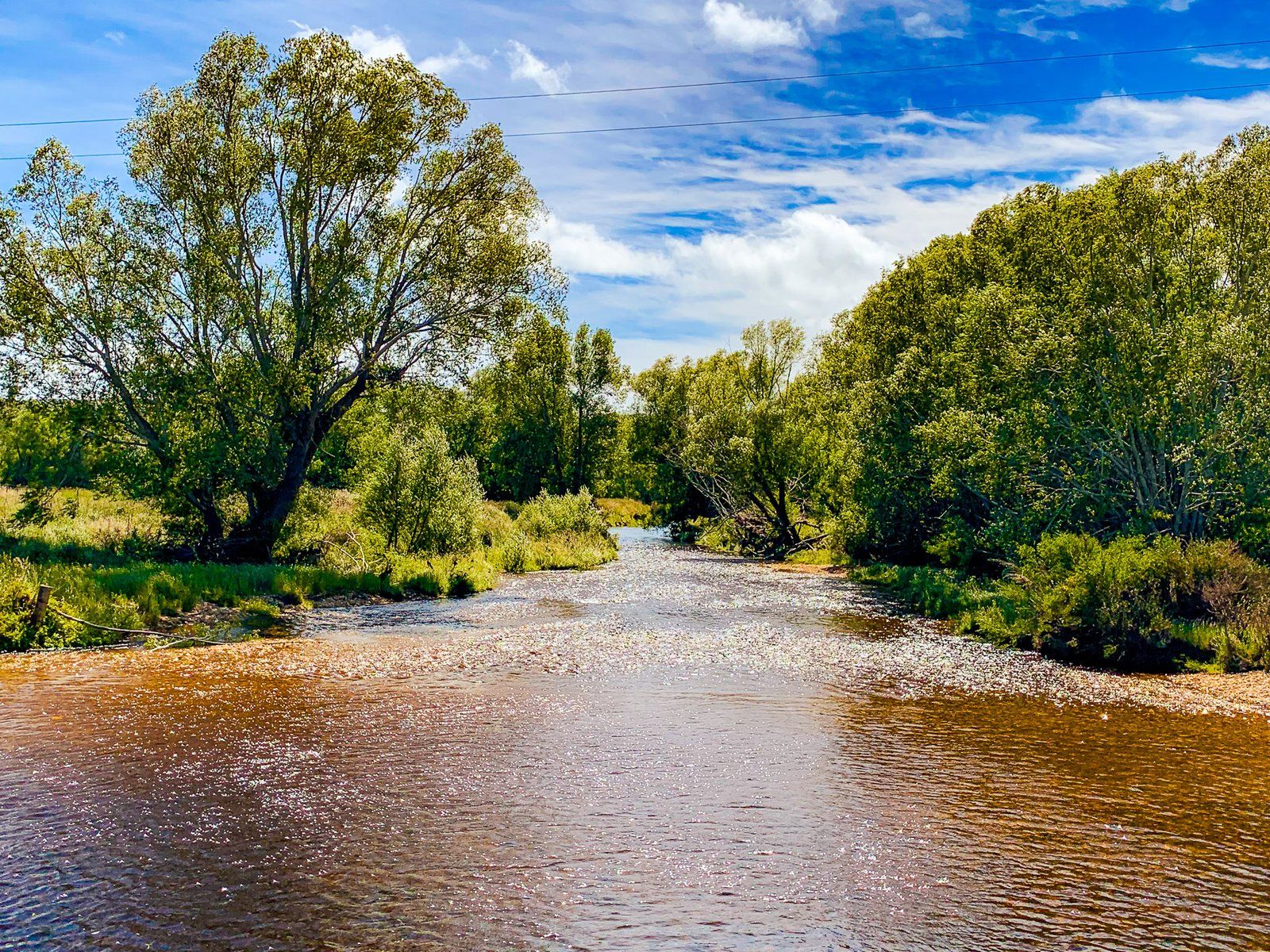
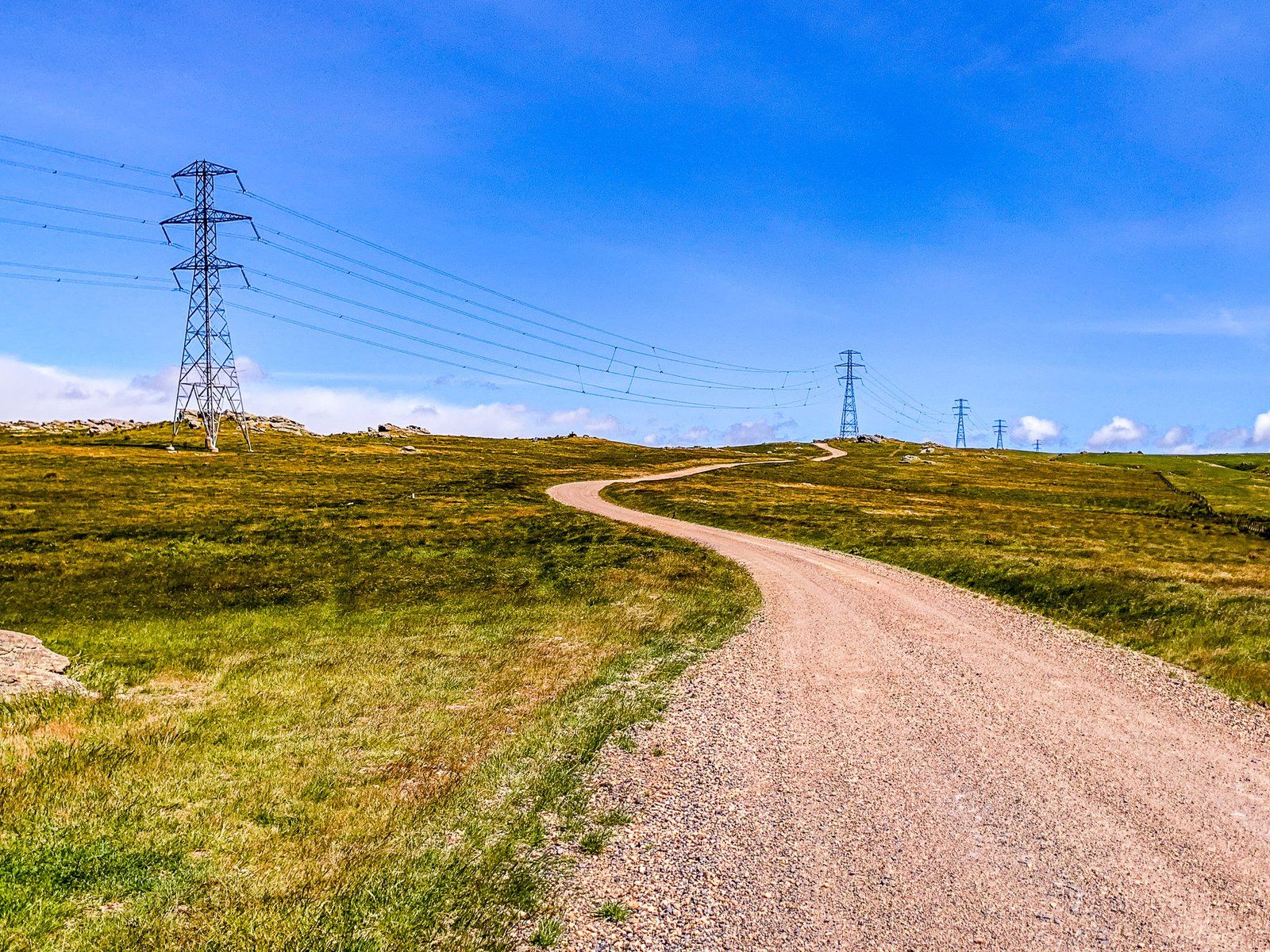
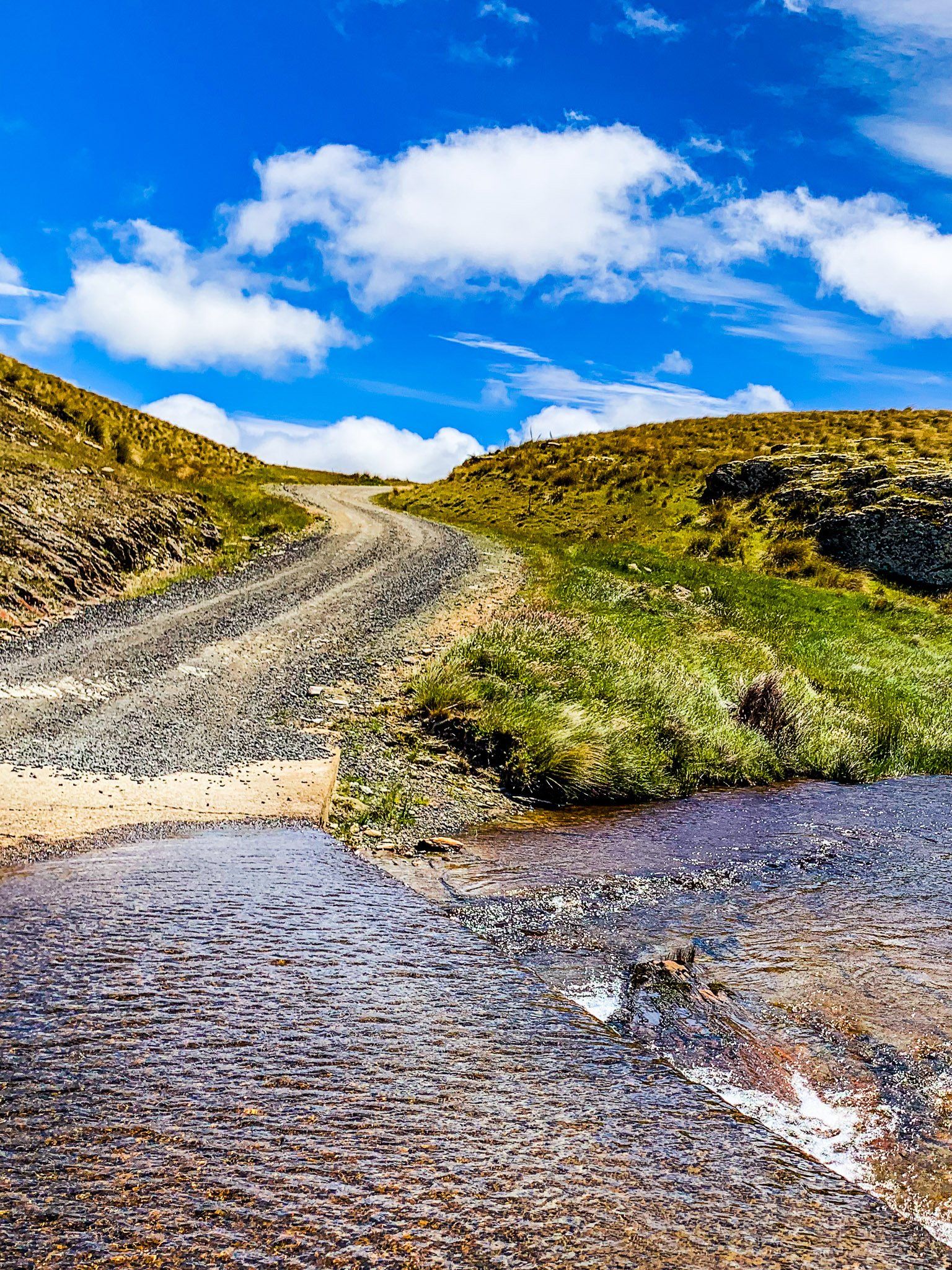
The initial stretch of the Old Dunstan Road passes through green irrigated farmland, contrasting with the arid highland sections ahead. The road is sealed for the first 12 km, then continues as a well-maintained metal road. Up to Sutton Stream, the route is about 500 metres above sea level, offering expansive views. The landscape features gullies, sheep flocks, and power pylons, with exotic trees around the creeks adding variety. Beyond this, the road climbs quickly to about 900 metres, dramatically altering the scenery.
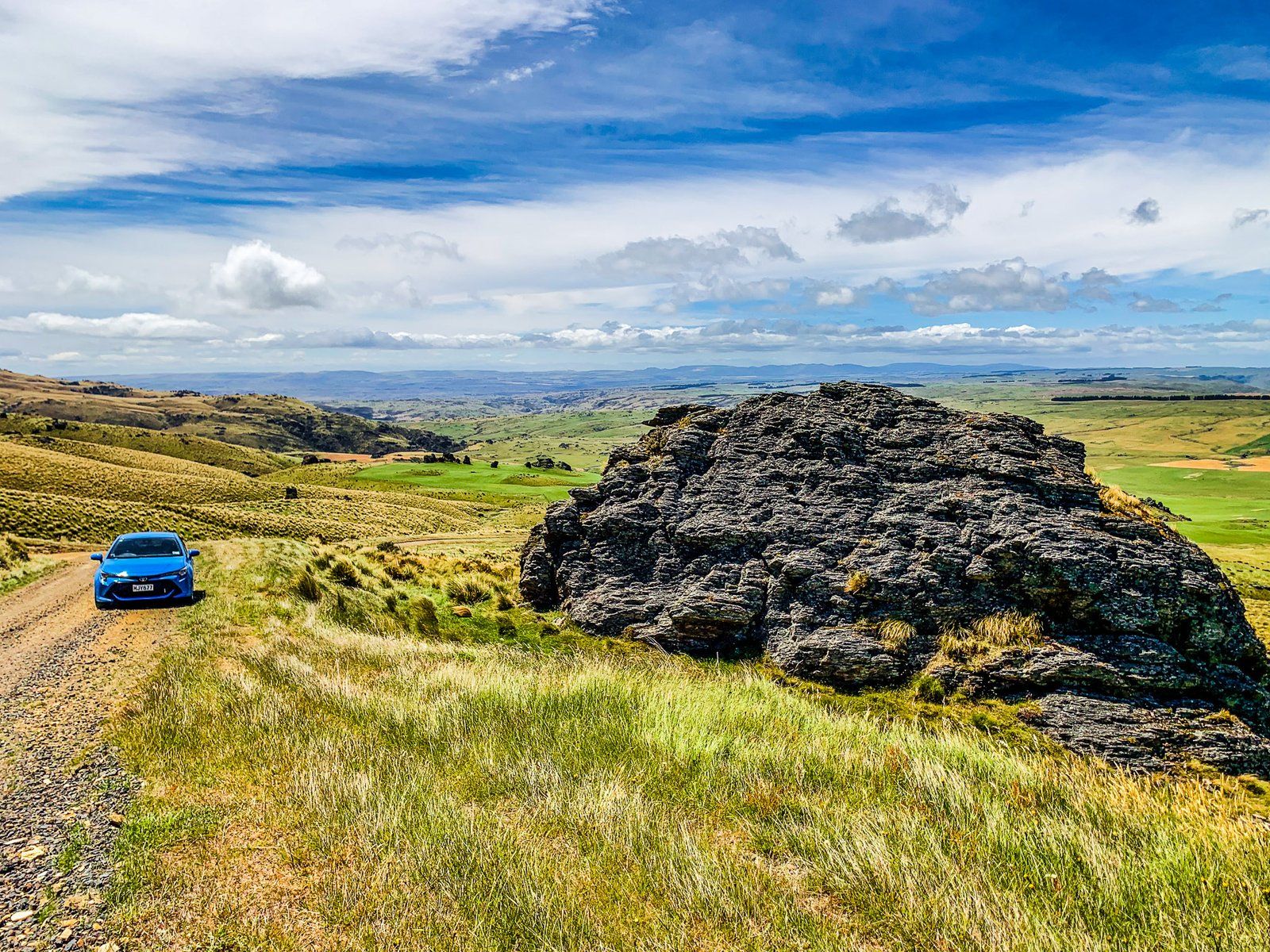
Highland Views
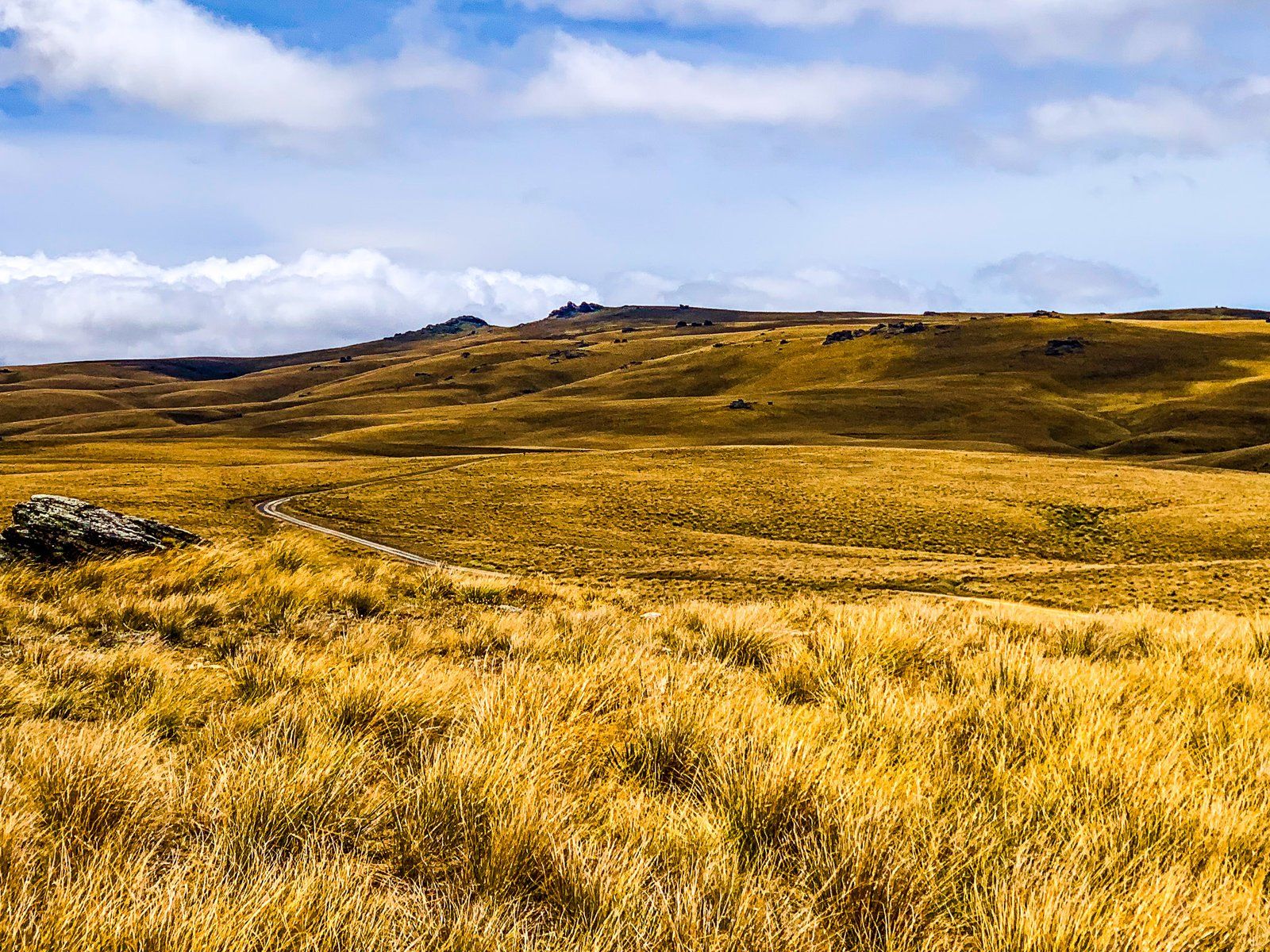
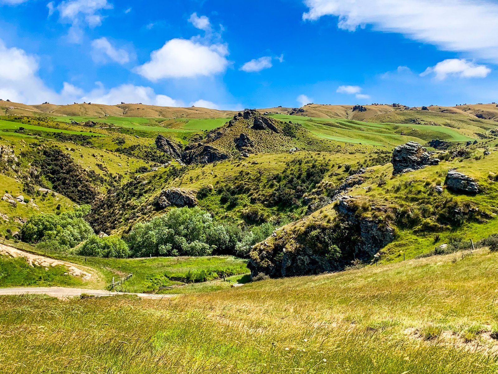
From the lowland plateau between Clarks Junction and Sutton Creek, the road ascends to 900 metres, crossing a ridge between the Lammermoor Range to the southwest and the Rock and Pillar Range to the east. This high point offers spectacular views of the Central Otago highlands. The road then swings north, passing the Loganburn Reservoir at 850 to 900 metres. Beyond the reservoir, the road climbs to 1,000 metres, maintaining this elevation for about seven kilometres. Along the way, you'll find access to the Stonehurst track for hiking and biking over the Rock and Pillar Range ridge.
How to Get There
To reach the Old Dunstan Road, start at Clarks Junction on State Highway 87 between Outram and Middlemarch. This point marks the beginning of the journey through the historic trail.
Nearby, you can explore the valleys of Central Otago, with visits to small but historic local towns such as St Bathans, Fairlie and Naseby.