Scenic Drive to Aoraki/Mt Cook National Park
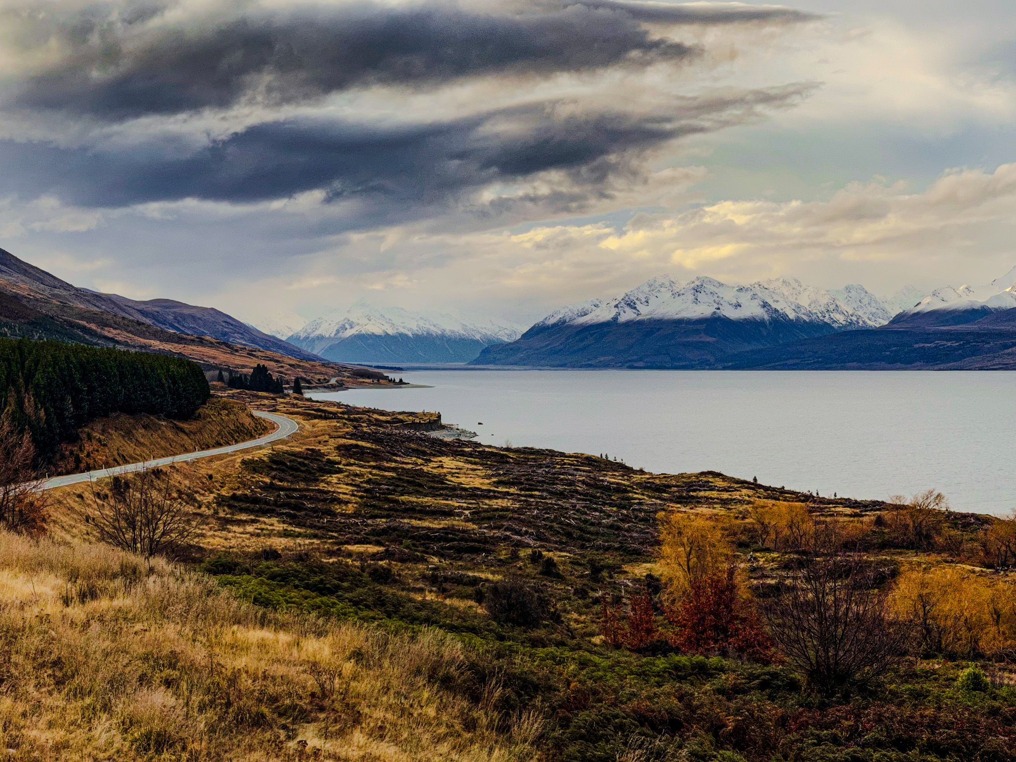
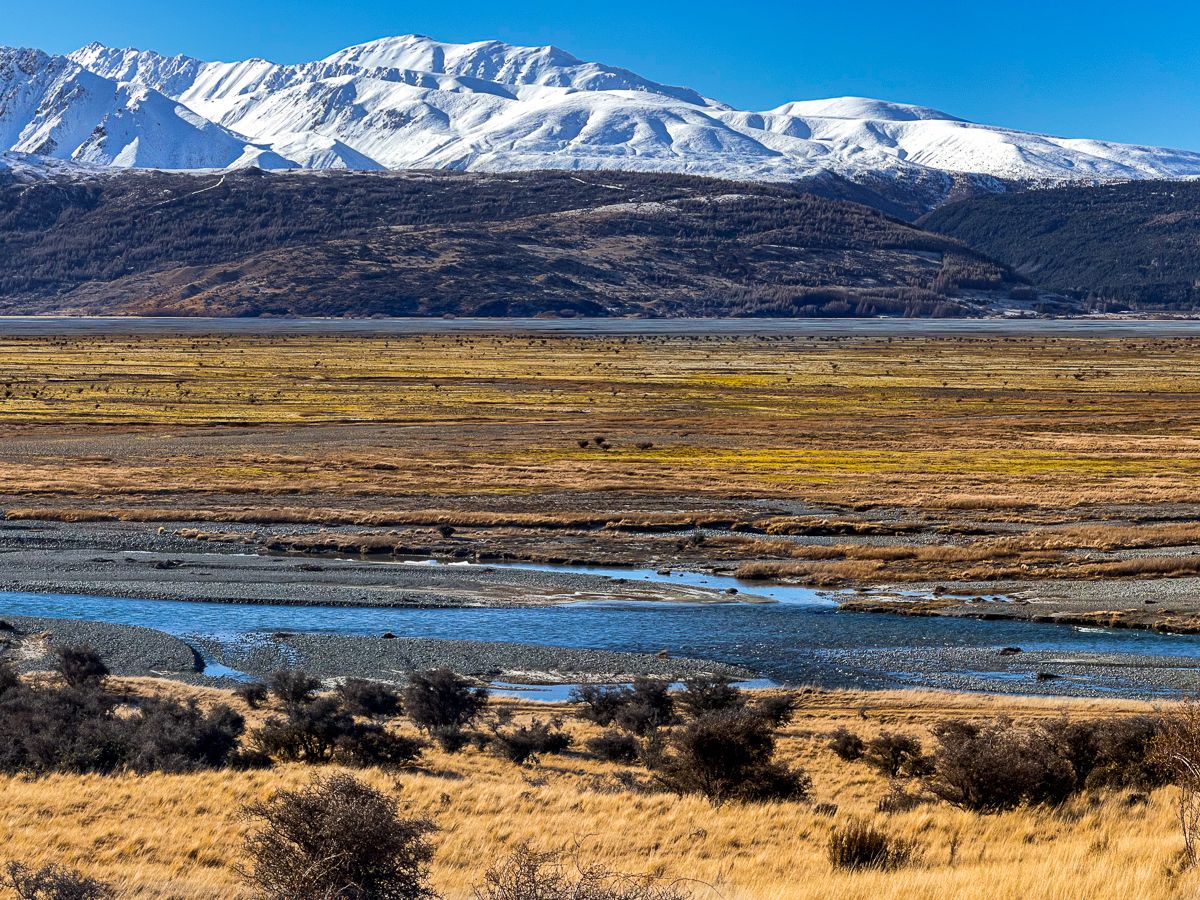
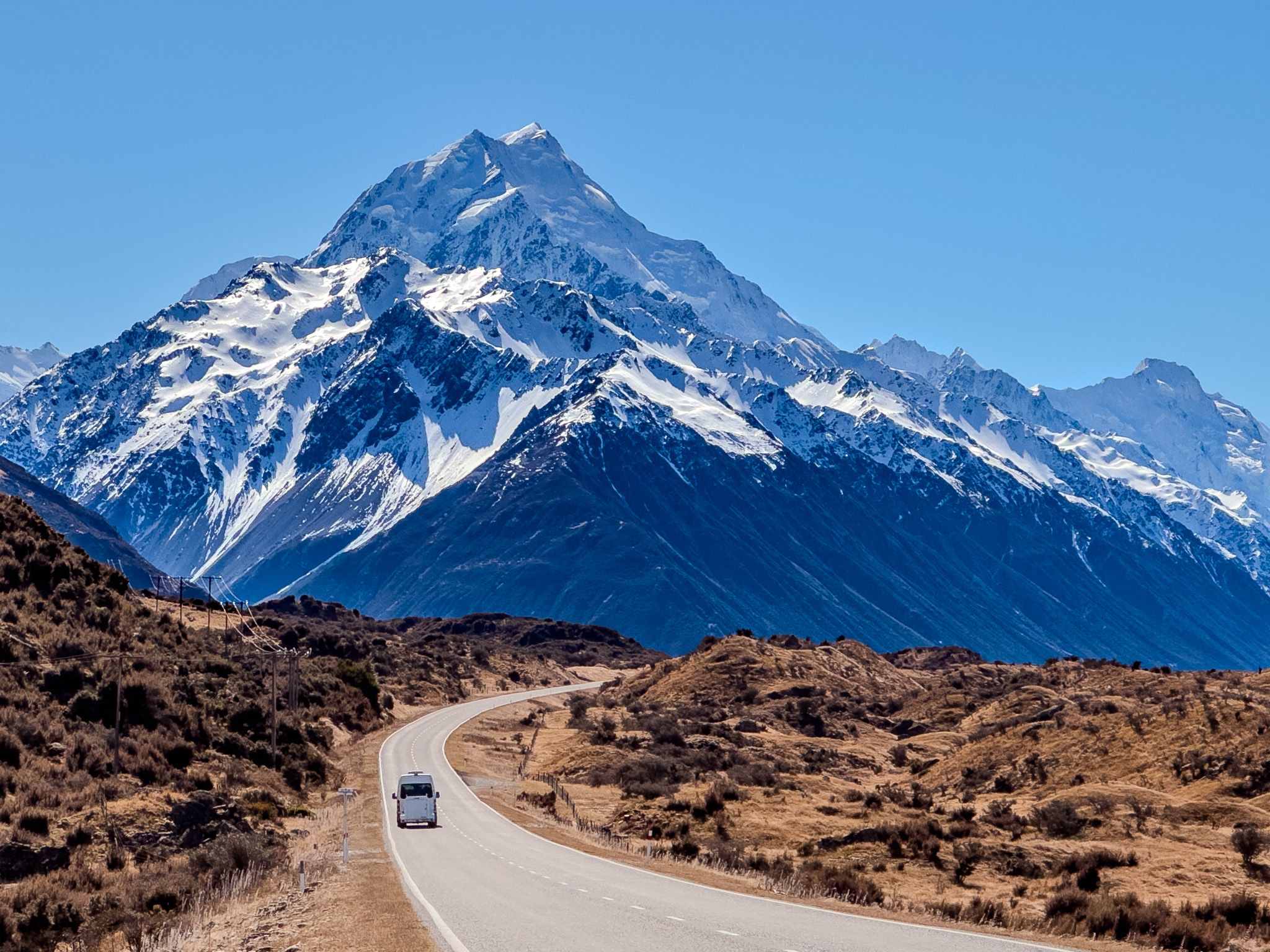
State Highway 80, also known as Mount Cook Road, offers a picturesque drive into Aoraki/Mt Cook National Park. This journey takes approximately 45 minutes and begins at State Highway 8, running along the western side of Lake Pukaki and the Tasman River, which feeds the lake. The route provides stunning views of Aoraki and the surrounding landscape, making it a must-see for visitors.
Stunning Views and Photo Opportunities
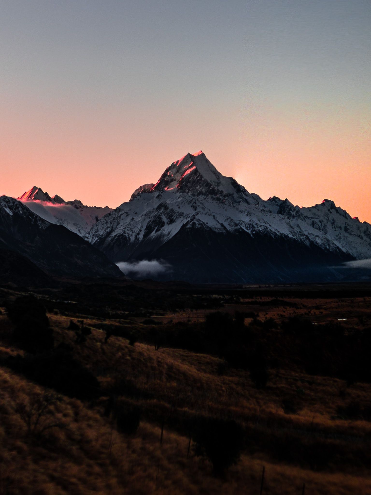
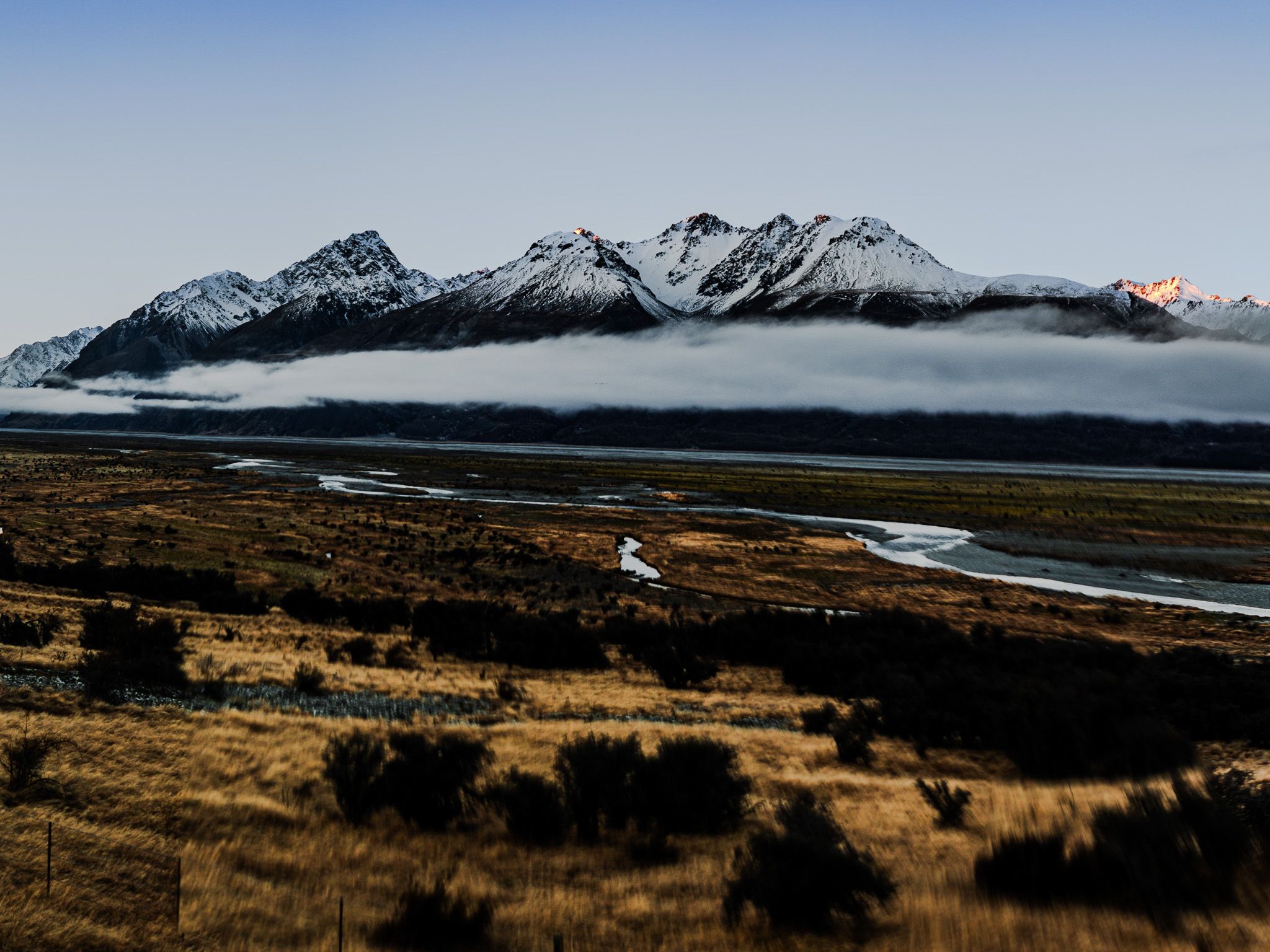
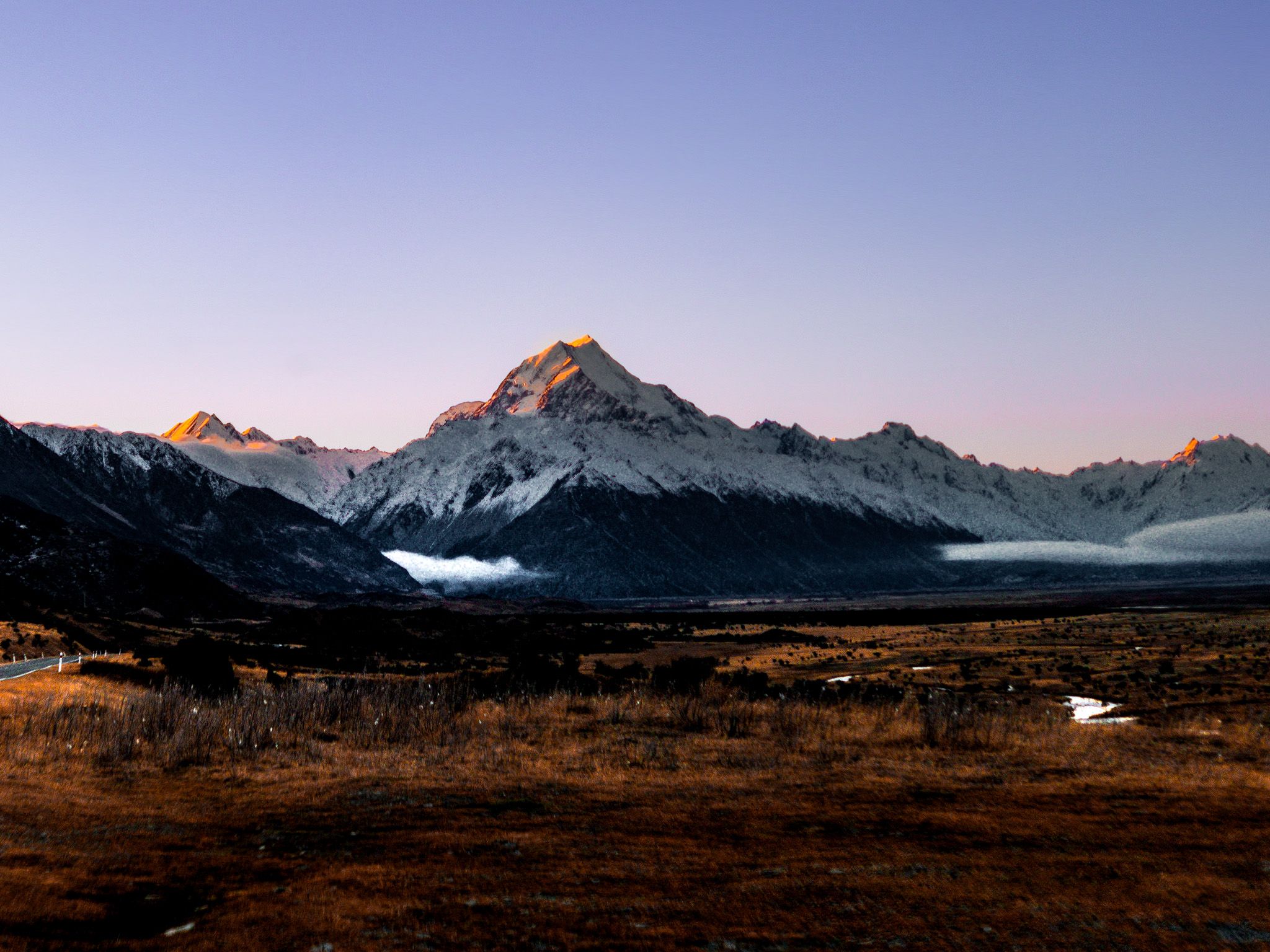
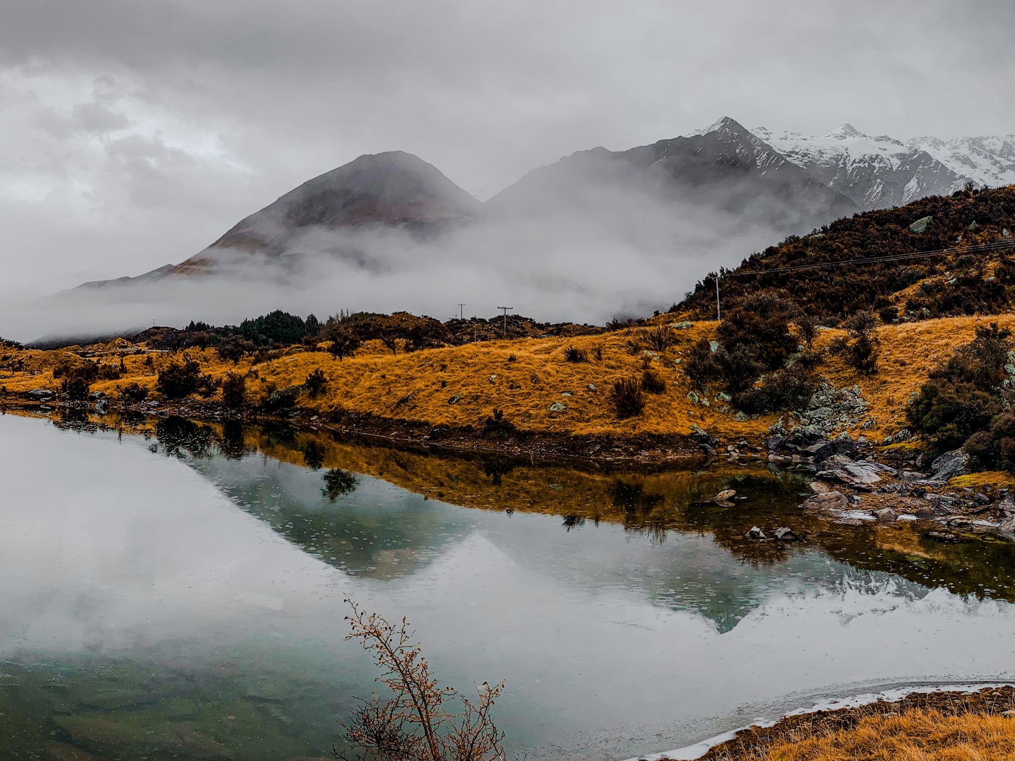
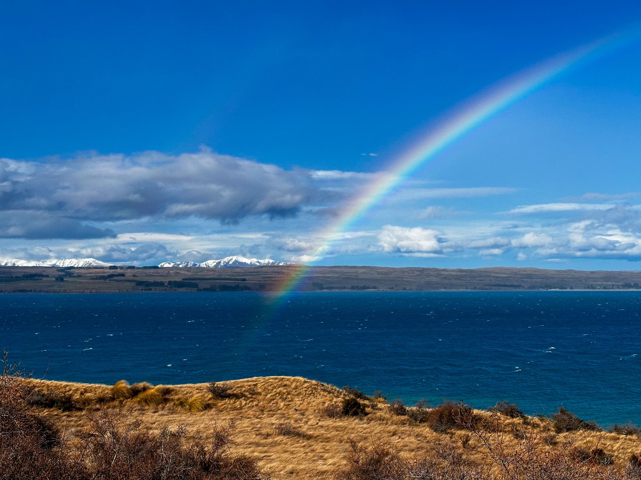
On a clear day, the views along State Highway 80 are truly captivating. Aoraki / Mt Cook, at 3,724 metres high, stands out as the prominent feature, with numerous safe spots to stop and capture photographs.
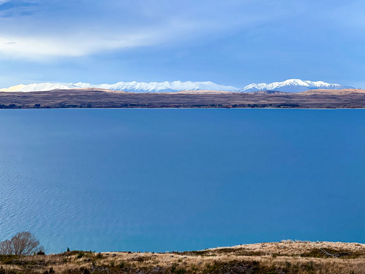
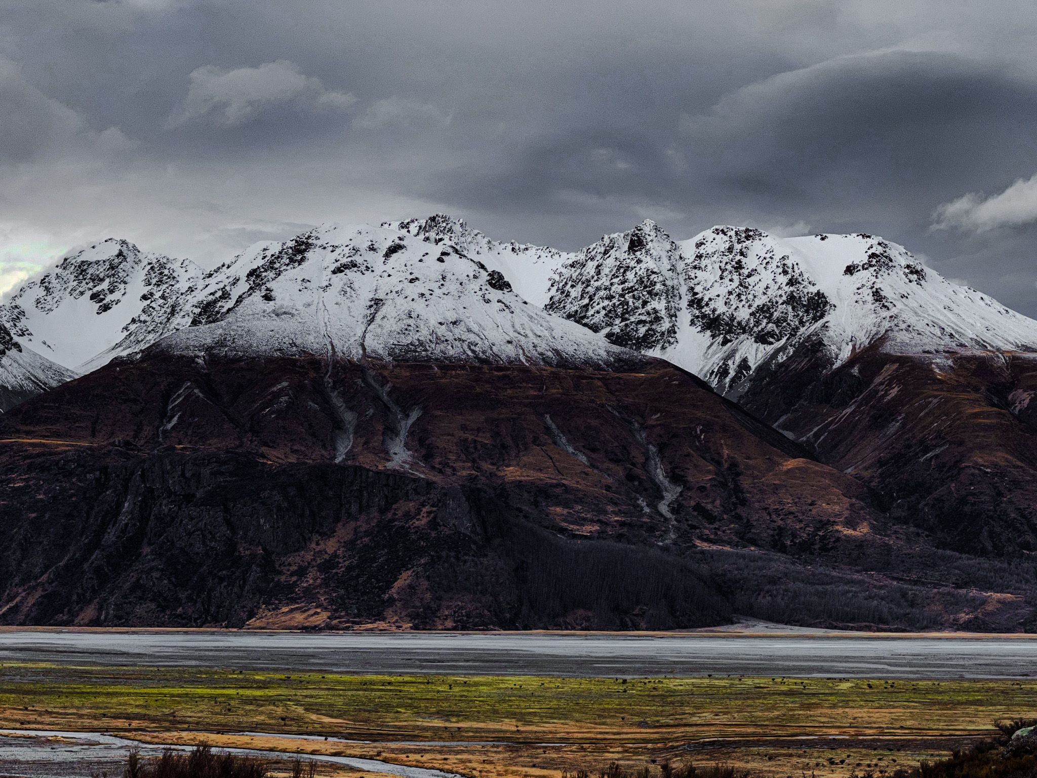
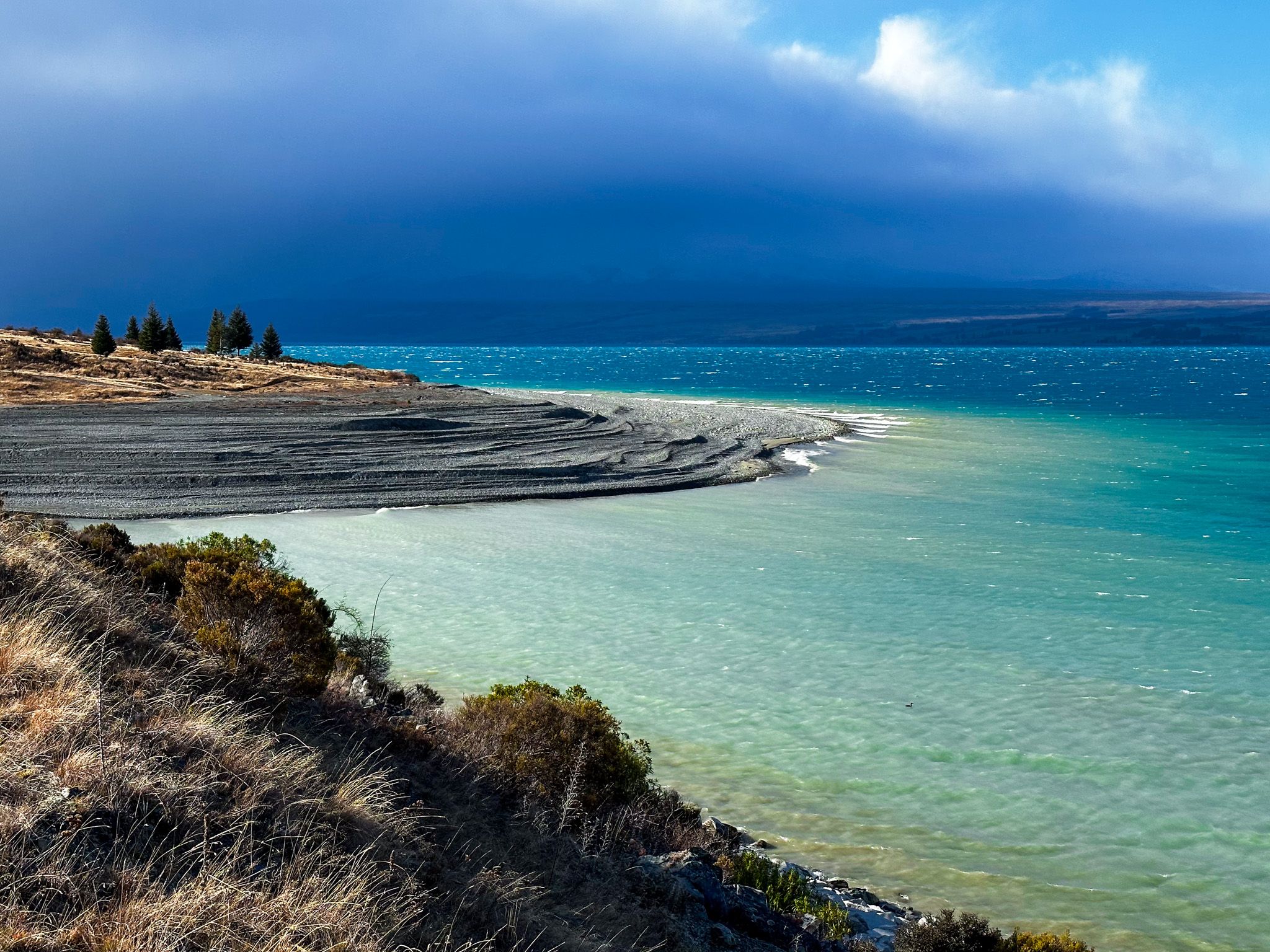
The lake and vibrant flats at the western end of Lake Pukaki add to the scenic beauty, while the Burnett Mountains on the valley's eastern side, up to 2,400 metres high, present a formidable backdrop. As you reach the end of the highway, you can choose to turn left towards Mt Cook Village and the Hooker Valley or right towards the Tasman Valley.
Discover the Pukaki Boulders
For those needing a break, keep an eye out for the Pukaki Boulders sign. A short uphill track leads to these impressive boulders, remnants left by a glacier that retreated over 10,000 years ago. This brief detour offers a glimpse into the region's geological history and is well worth the stop.
How to Get There
To reach Aoraki/Mt Cook National Park via State Highway 80, start from State Highway 8, at the south end of Lake Pukaki in the Mackenzie Country.
From the end of the road at the Aoraki / Mt Cook Village, you can explore the Tasman Lake, Hooker Valley and Sealey Tarns, as well as a short loop walk through a magnificent mountain beech forest on the Governors Bush Track.