Exploring the Manawatū Gorge Track
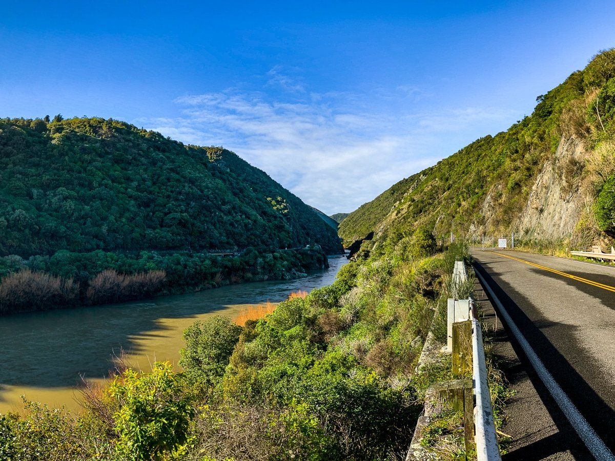
Situated approximately 14 km northeast of Palmerston North, the Manawatū Gorge Track is a captivating hiking experience. This track provides a beautiful forest walk and fabulous views from the top of the gorge, around 200 metres above the river.
Hiking Options and Scenic Highlights
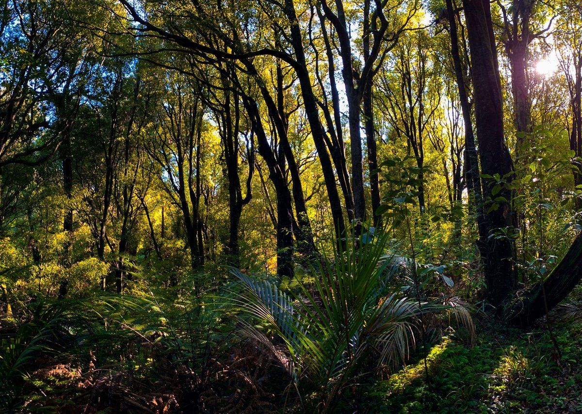
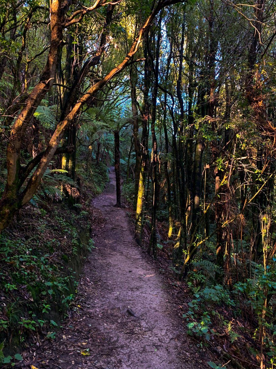
The Manawatū Gorge can be hiked in its entirety, taking about 3 to 4 hours each way. For those preferring a shorter option, the Tawa Loop Track is an excellent alternative. This loop takes roughly 2 hours to complete and winds through native forest, featuring two impressive viewpoints. The east end of the loop is also the starting point of the Manawatū Gorge Track, where a striking statue of Whatonga, a renowned 12th-century Māori navigator, is located. Whatonga is celebrated for sailing his ocean-going canoe, Kurahaupō, to New Zealand and eventually settling near Wellington.
How to Get There
To reach the western entrance of the Manawatū Gorge, take State Highway 3 east from Palmerston North for 10 km to the Napier Road turnoff. Follow Napier Road for a short distance to the car park, with the track on the east side near the river and gorge entrance. From here, the track follows the edge of the old road before ascending to the top of the gorge's face.
Other things to do in the region include a drive over Saddle Road through the Apiti Windfarm and a visit to the scenic east end of the Manawatū Gorge and Gorge Road.