
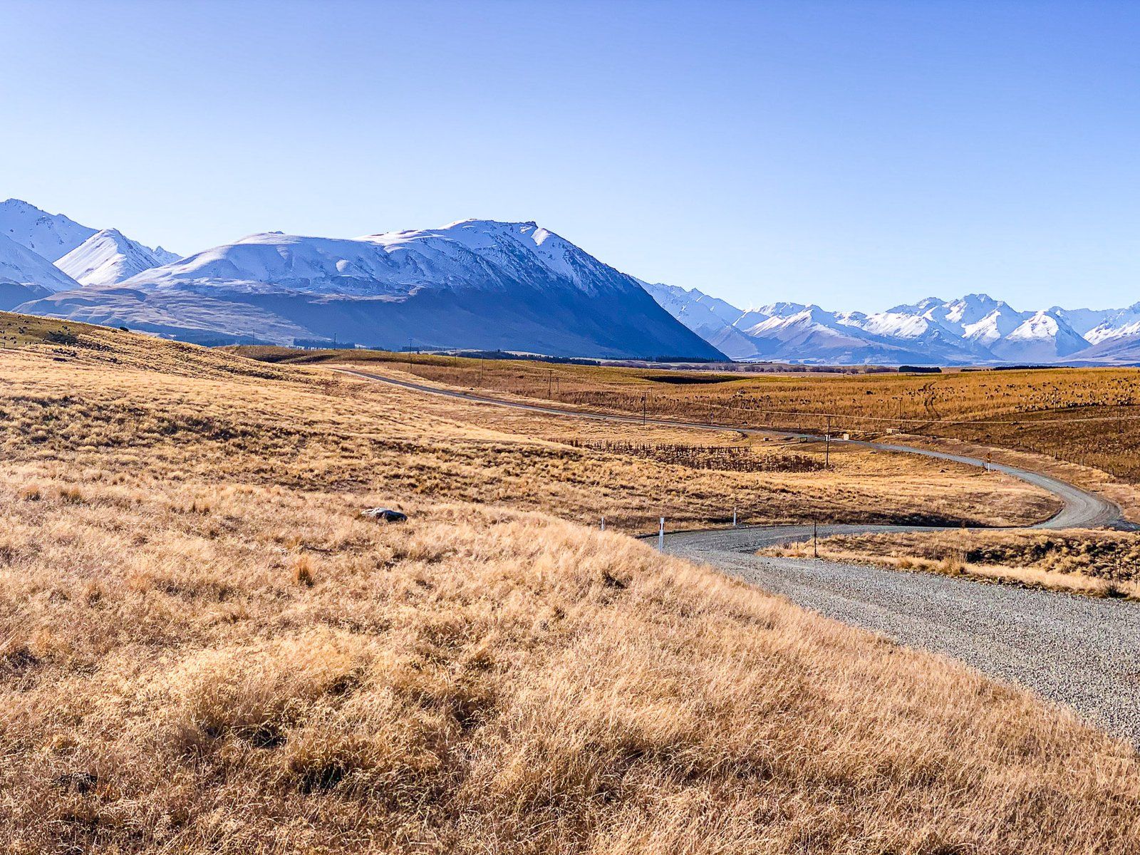
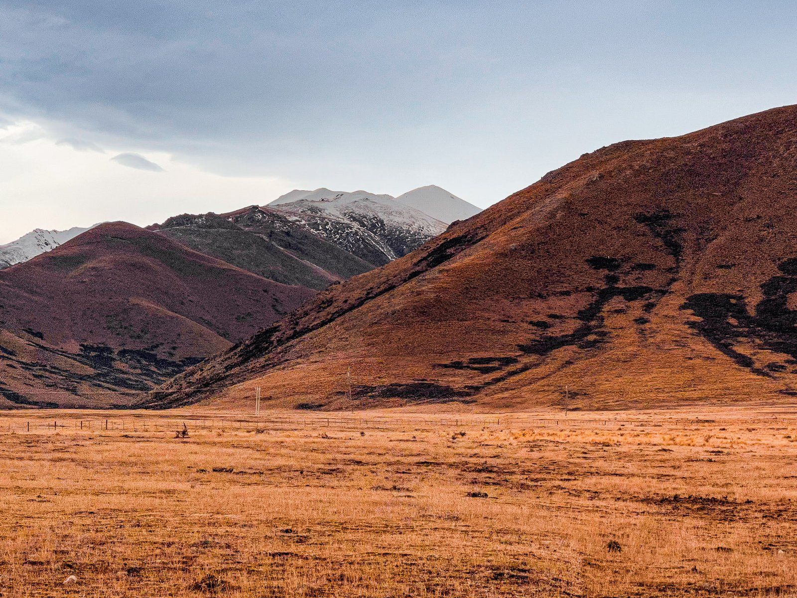
Mackenzie Basin, also known as Mackenzie Country, is a gently sloping, high basin in the South Island’s South Canterbury. Until the 1990s, it was a rather dry desolate area. Best known for 1850s outlaw James Mackenzie, it had a severe rabbit infestation, and offered access to Mount Cook. For a long time, its main value was collecting water for the Mackenzie Basin and Waitaki Valley hydropower scheme.
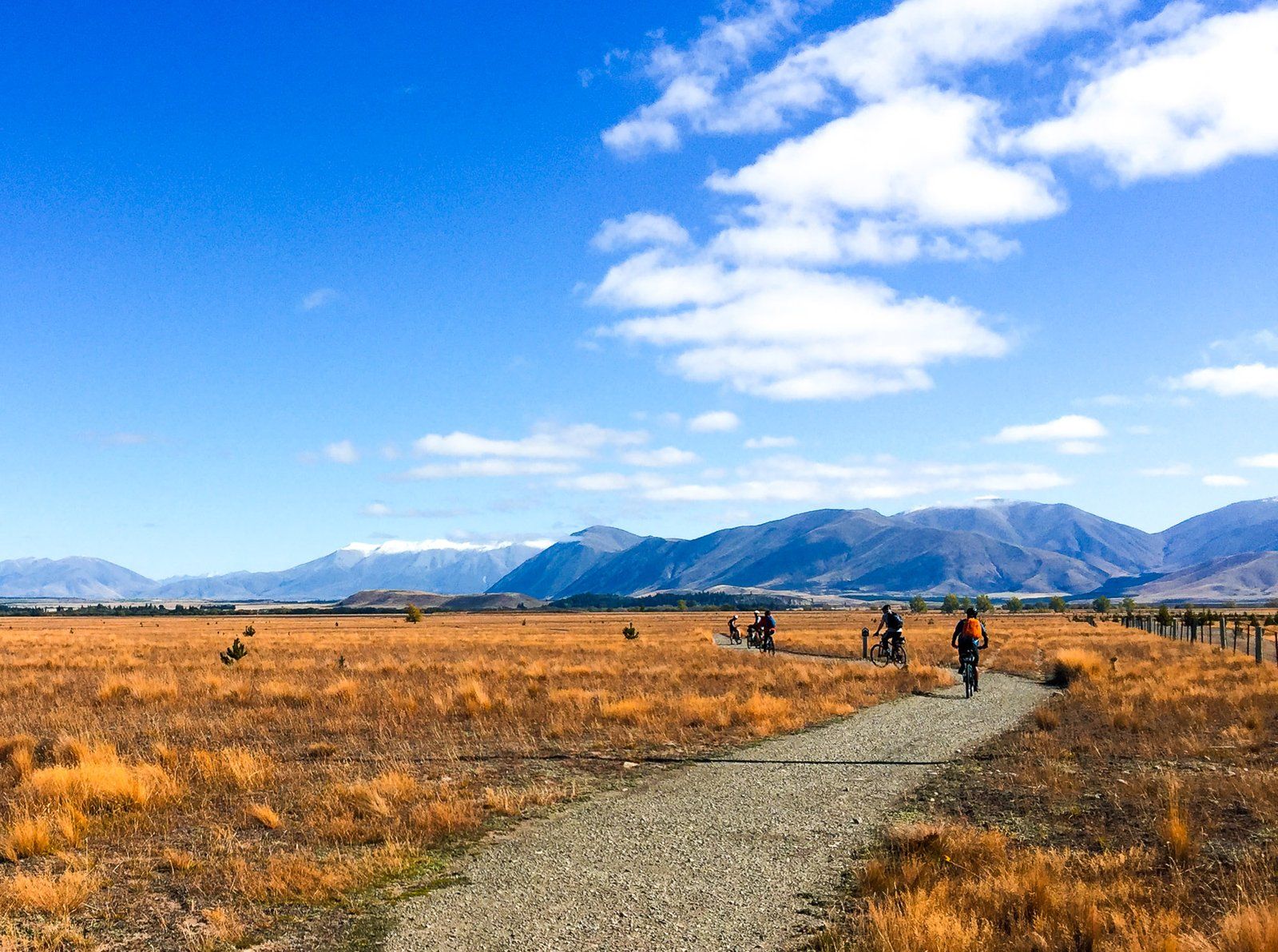
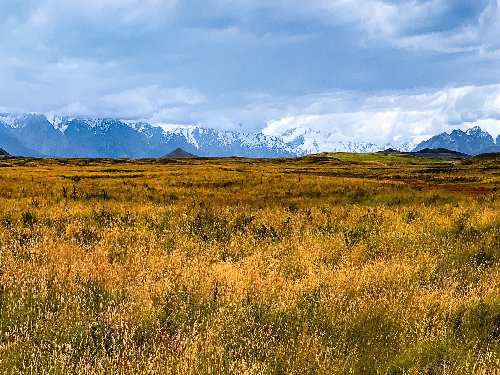
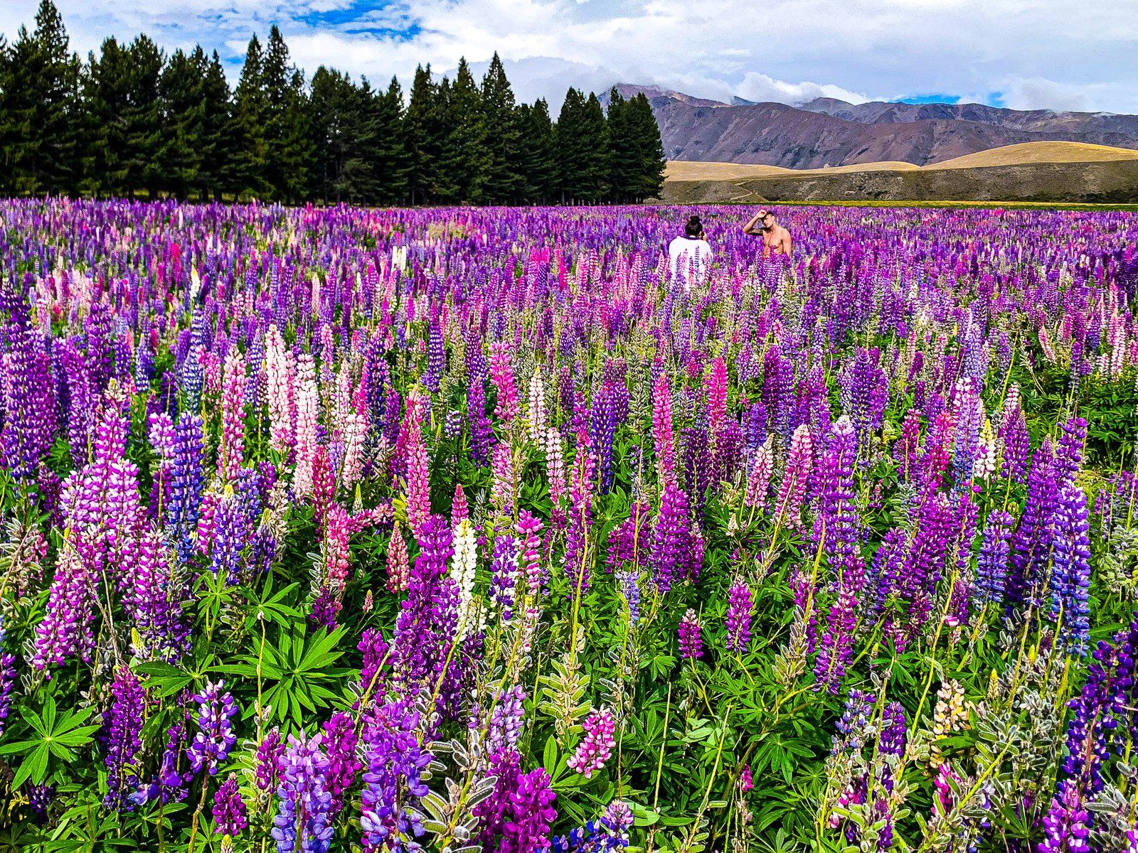
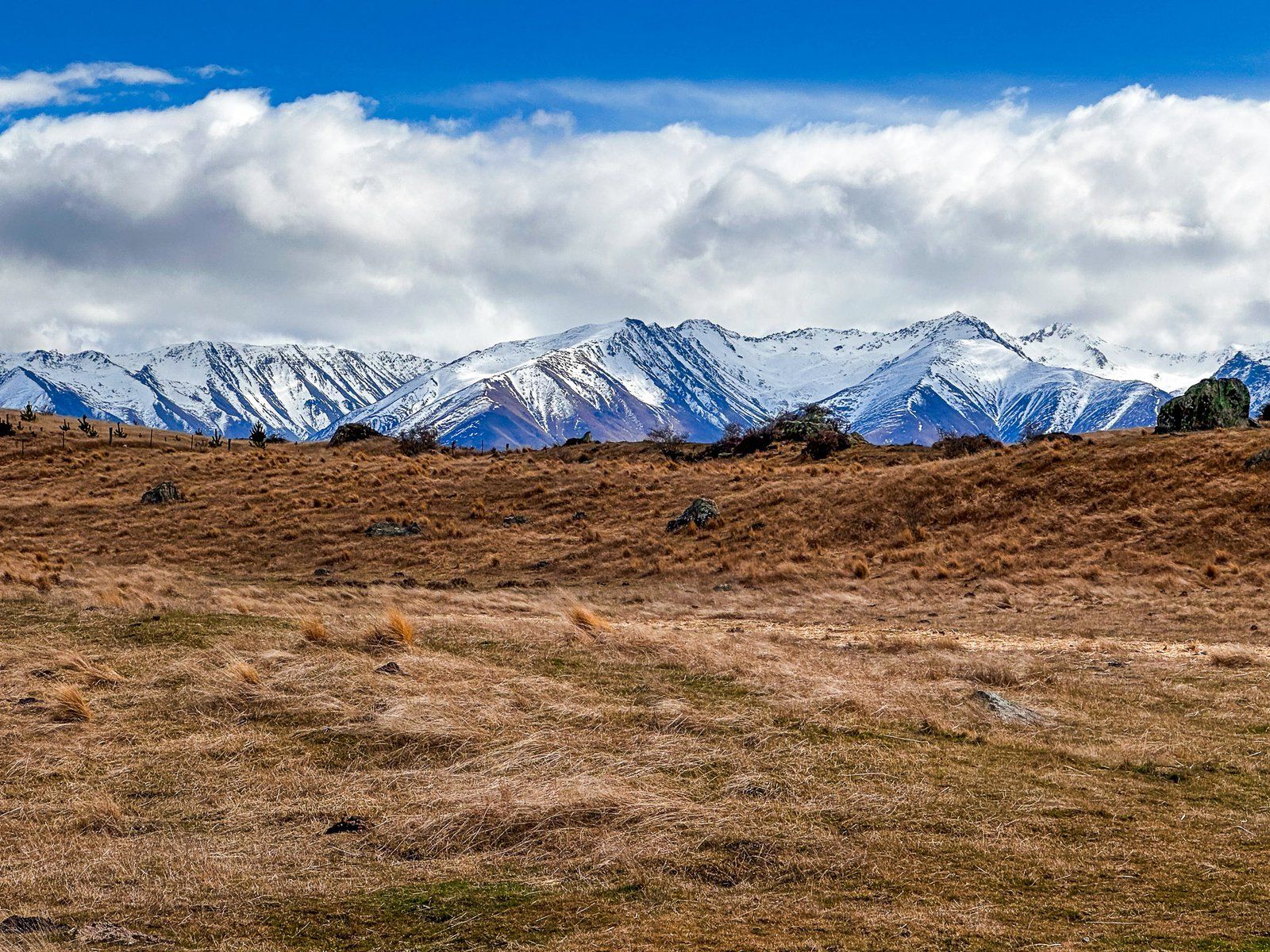
Today, it is a tourist hotspot fuelled by growth around the scenic town of Lake Tekapo. The creation of the Aoraki Mackenzie International Dark Sky Reserve helped, too. The reduction in rabbits has also led to improvement in the golden tussock grasslands. Big skies, dramatic weather, lupins in summer and hoar frosts in the winter provide additional points of interest for travellers.
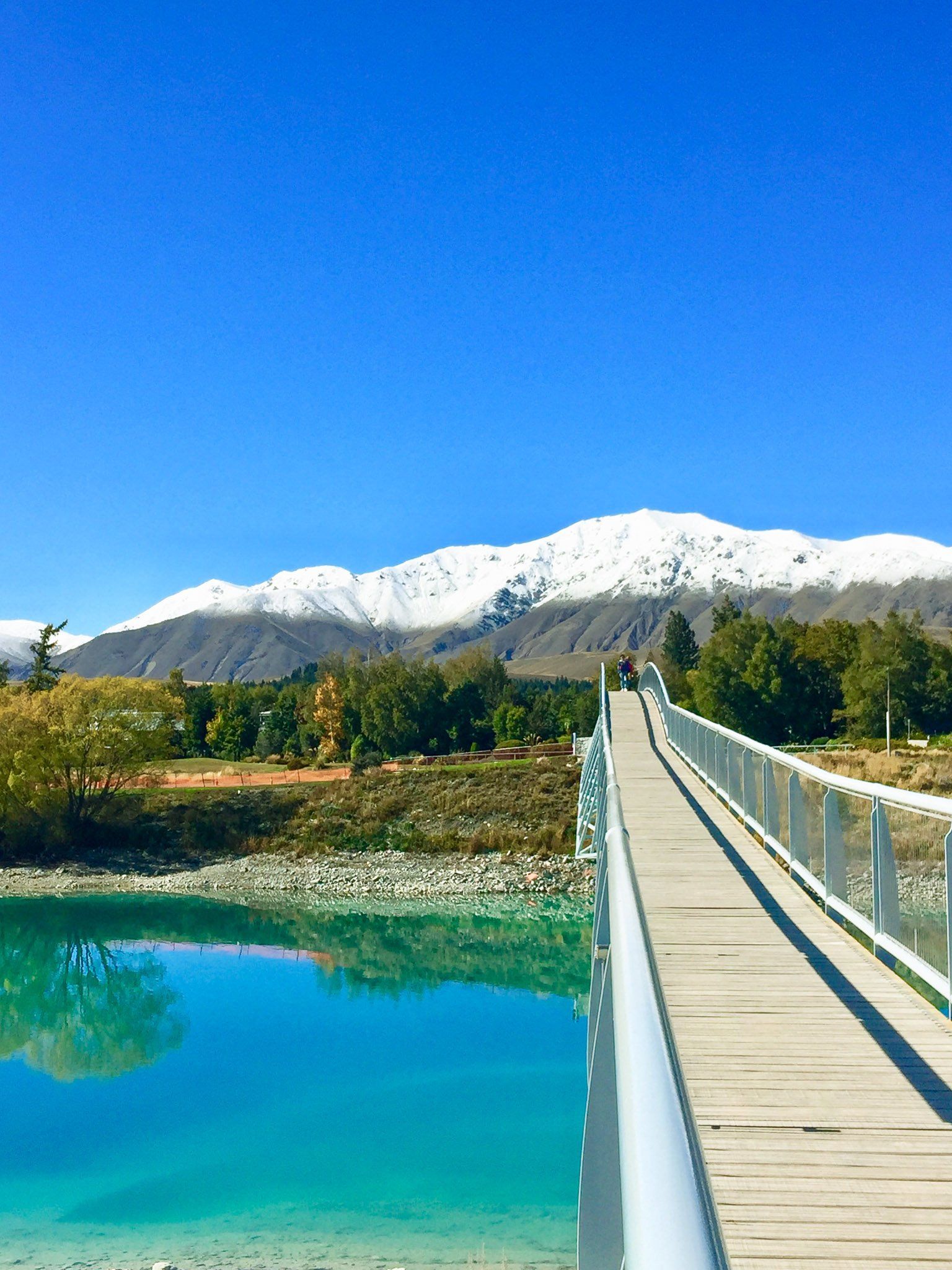
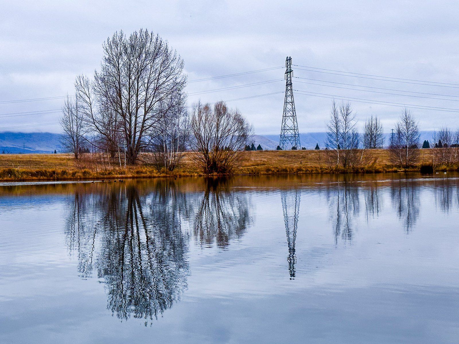
The basin is roughly 60 km at its widest point and bounded by mountain ranges and post-glacial lakes. To the north is the main Divide of the Southern Alps and Aoraki Mount Cook. The glaciers of the Divide feed three major post glacial lakes, Tekapo, Pukaki and Ohau. Braided rivers run from the lakes to form the Waitaki River, flattening the Basin out over millennia. Today, hydro canals have largely supplanted the river flows. These connect the lakes to feed several power stations in the Basin with man-made Lake Benmore, now the head of the Waitaki River.
State Highway 8 crosses the Basin from Burkes Pass in the northeast to Twizel and Lake Ruataniwha in the southwest. State Highway 80 takes you up the west side of Lake Pukaki to Aoraki and the Main Divide. Several canal roads and metal backroads cross the Basin. These include McAughtries, which runs parallel to the Ohau River, up to the north arm of Lake Benmore.
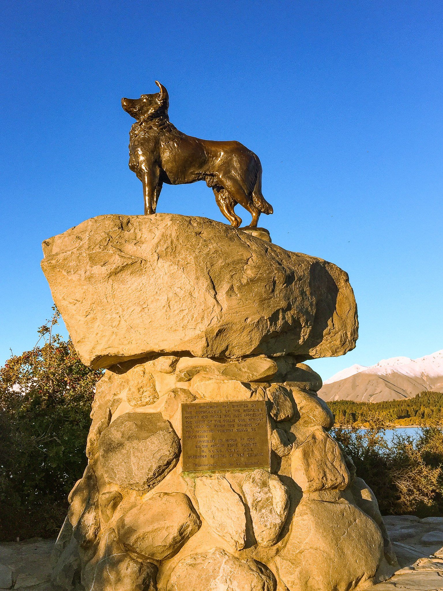
Of historical interest is Mackenzie Pass Road. Take Haldon Road off State Highway 8, about three km west of Burkes Pass / Manahuna. Here you will find a memorial to James Mackenzie and his sheepdog Friday. It was at this Pass that he was caught in 1855 after stealing 1,000 sheep. He then escaped, walked 150 km to Lyttleton, was caught again, and sentenced to five years hard labour.
He escaped again twice. In 1856, a magistrate reinvestigated his case and pardoned Mackenzie. By this time he was a folk hero, hence the name of the Pass and region. Perhaps fittingly, he apparently moved to Australia!
The A2O Cycle Trail also runs through the Basin on its way from Tekapo to Omarama. More generally, cycling is a great option for exploring the side roads and hydro canals.
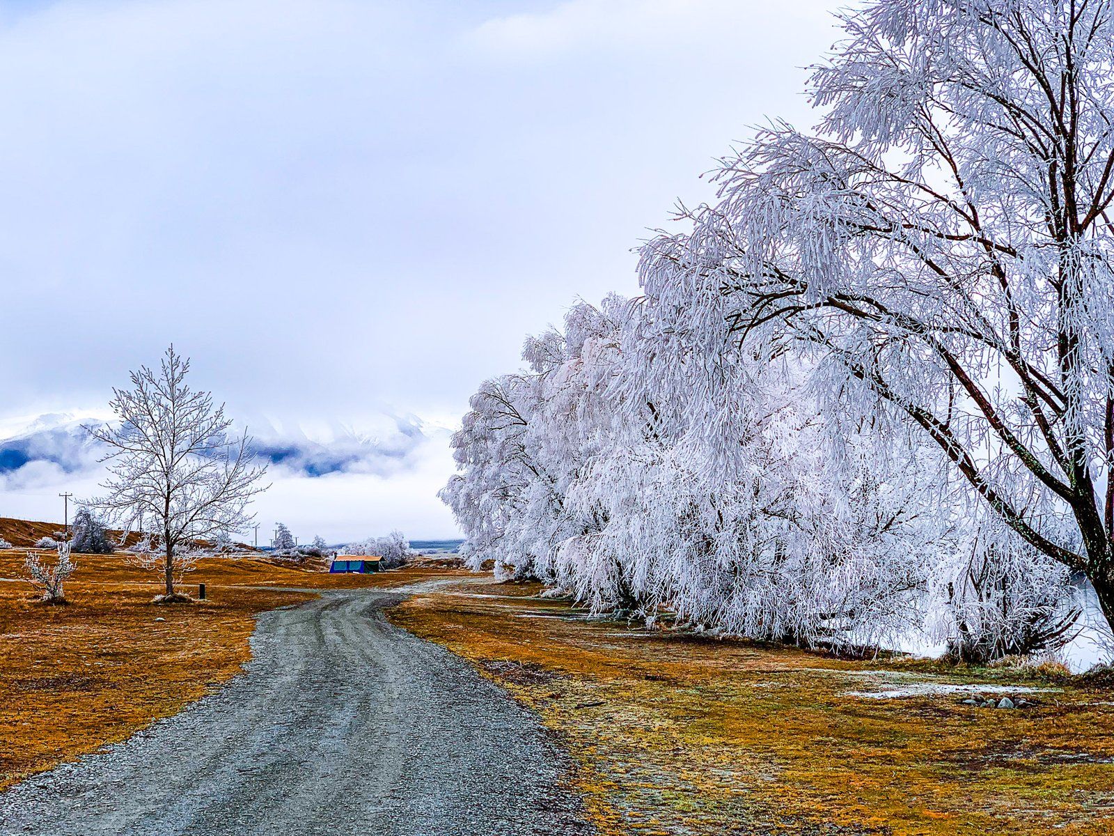
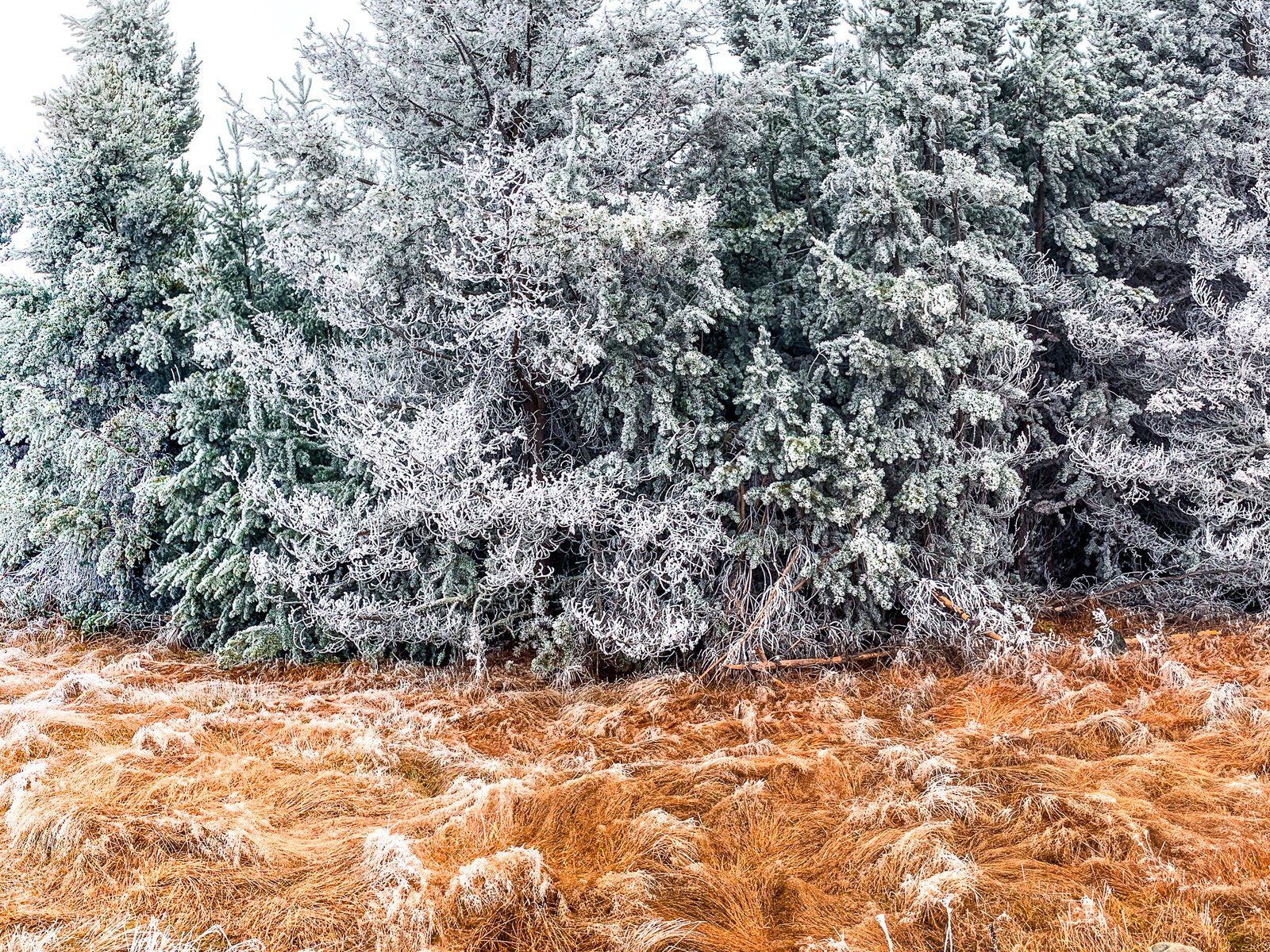
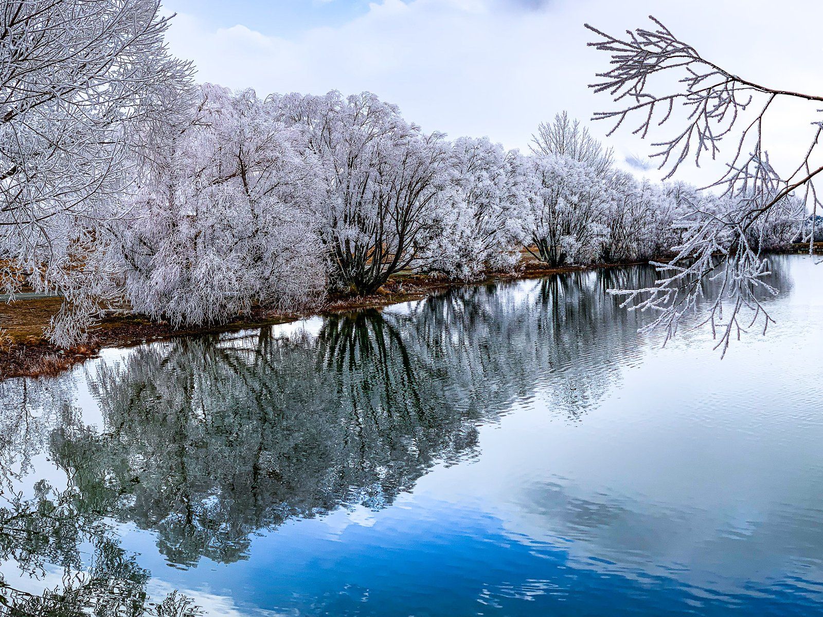
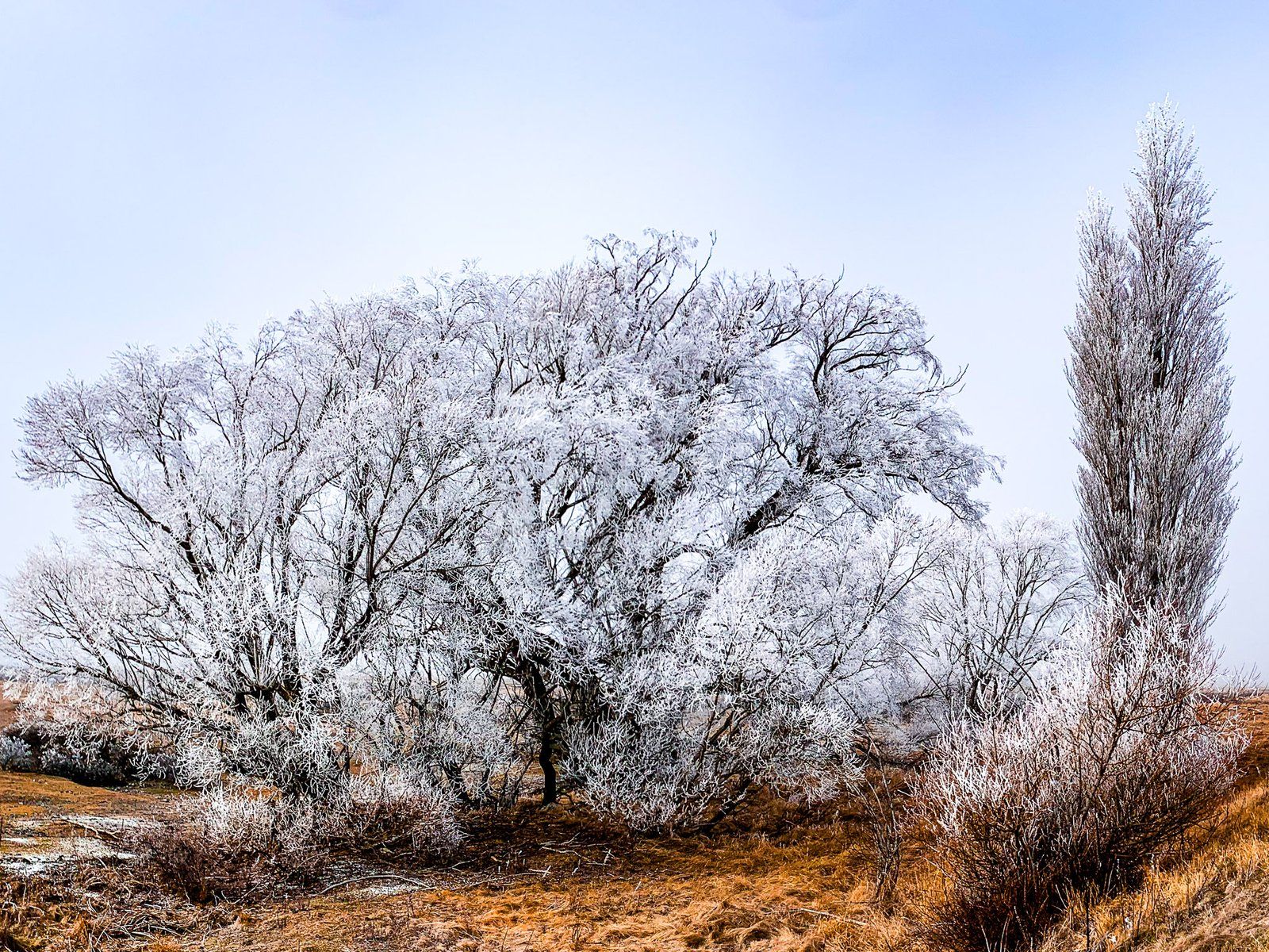
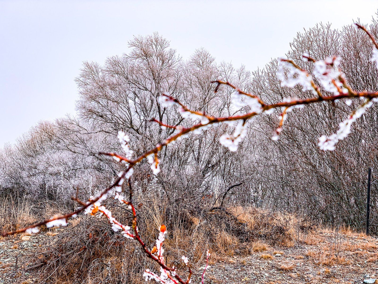
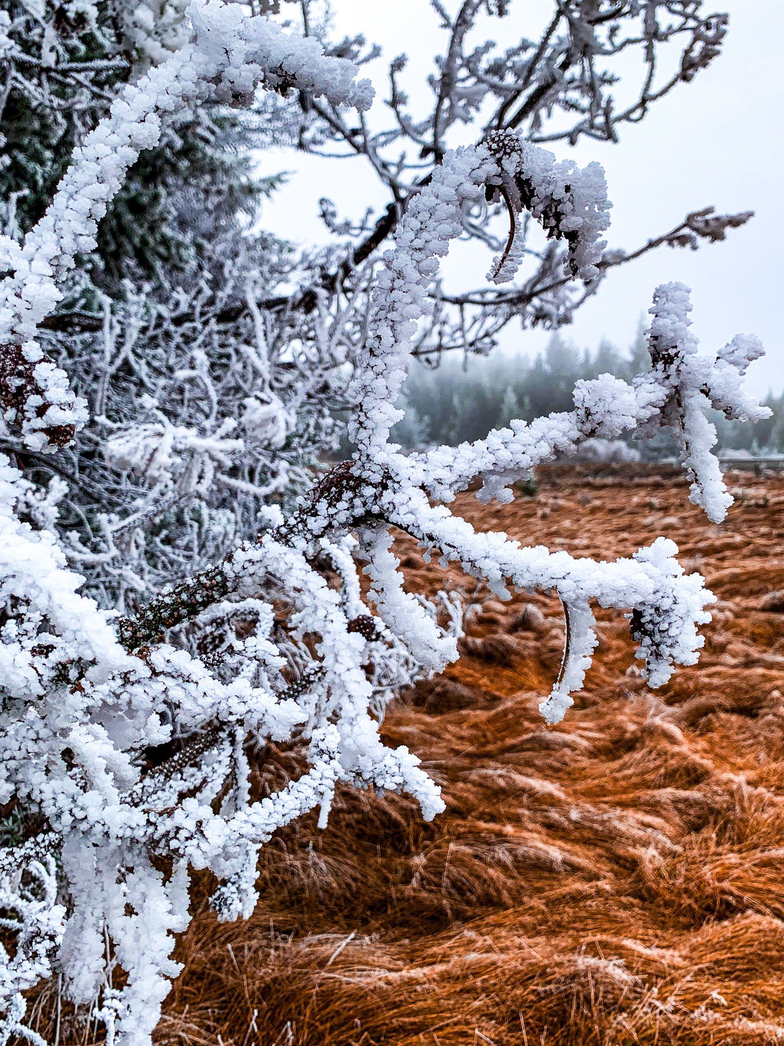
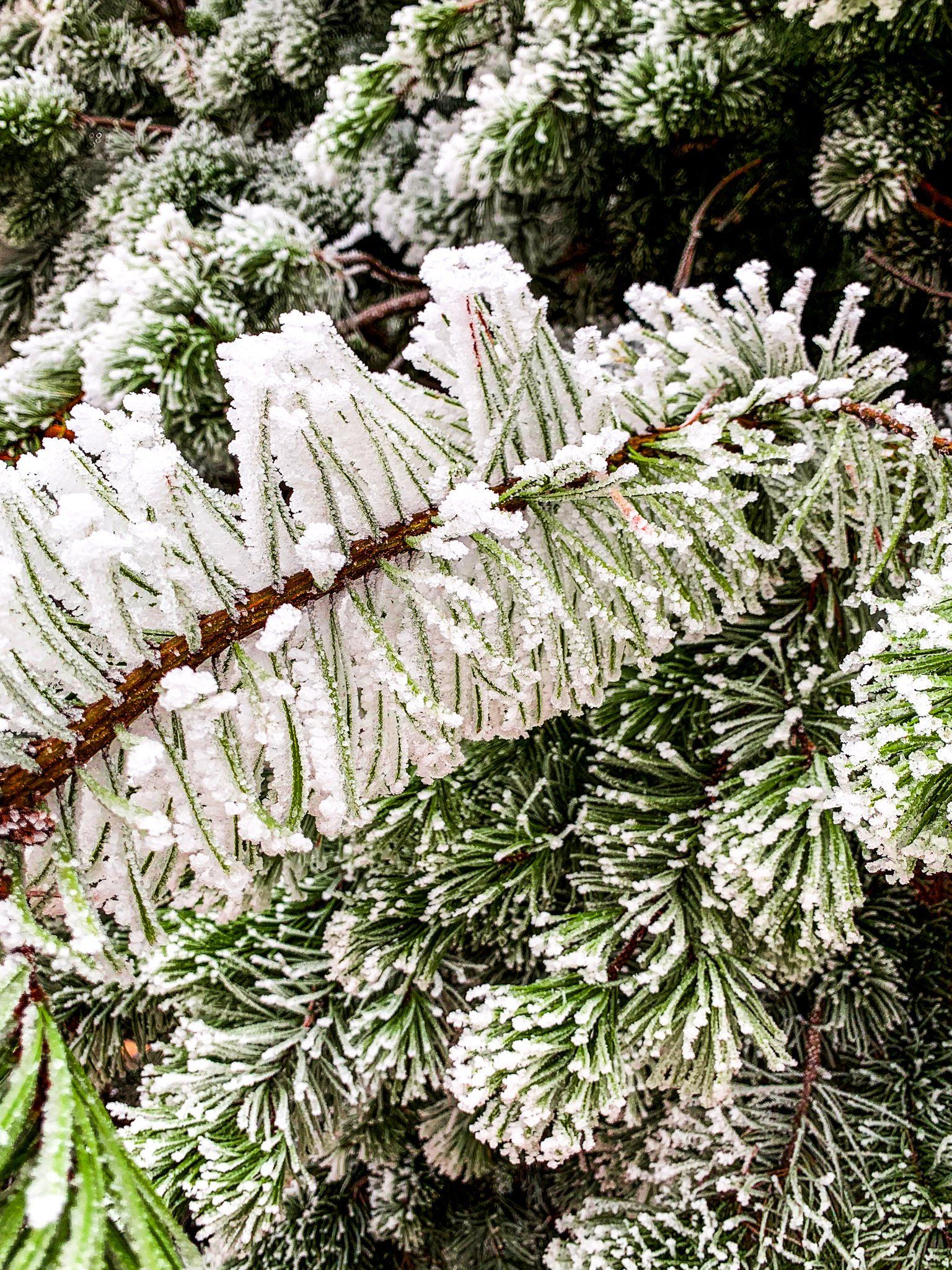
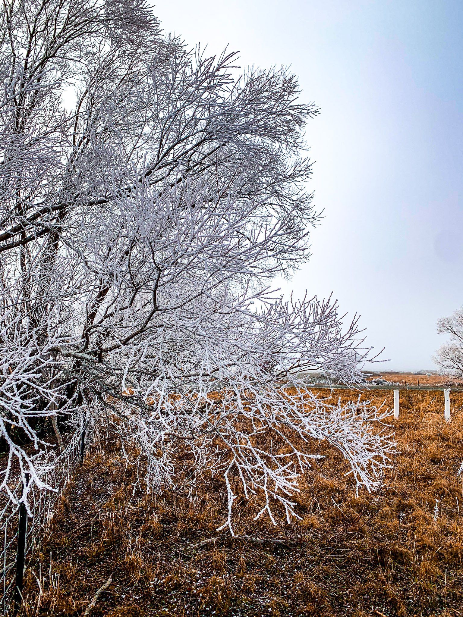
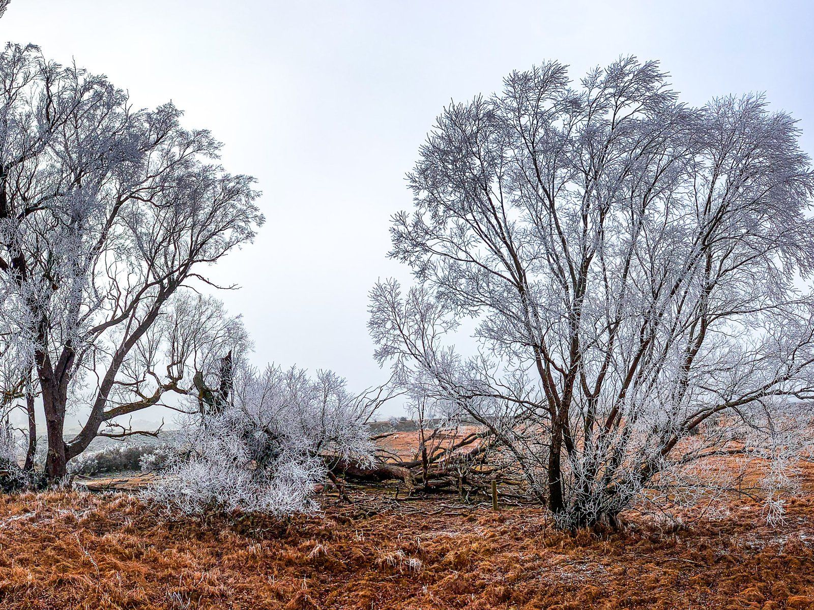
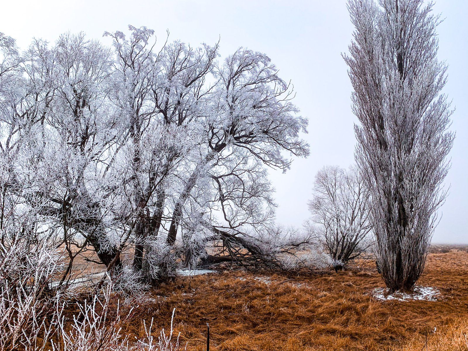
Hoarfrost of Mackenzie Country
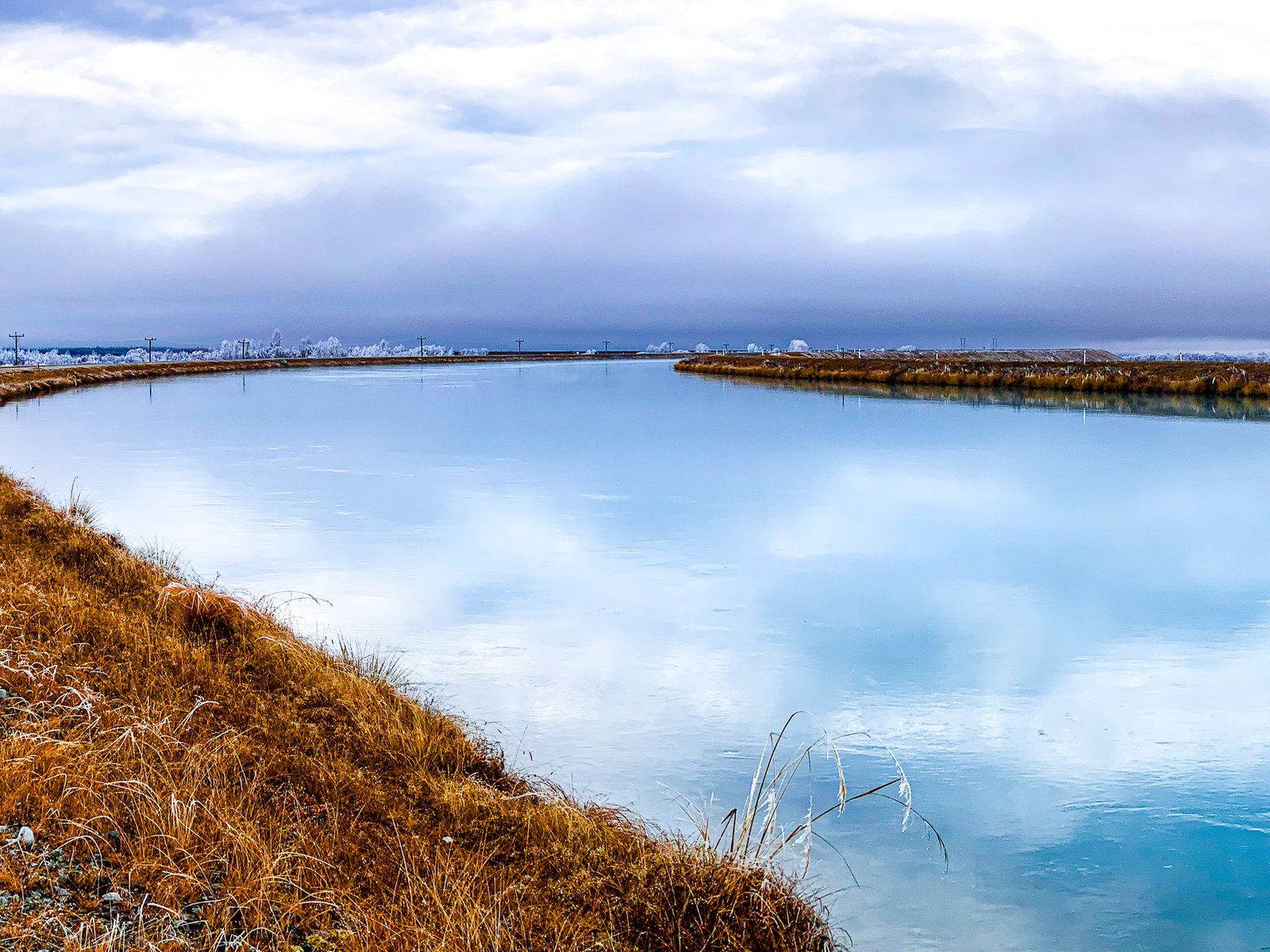
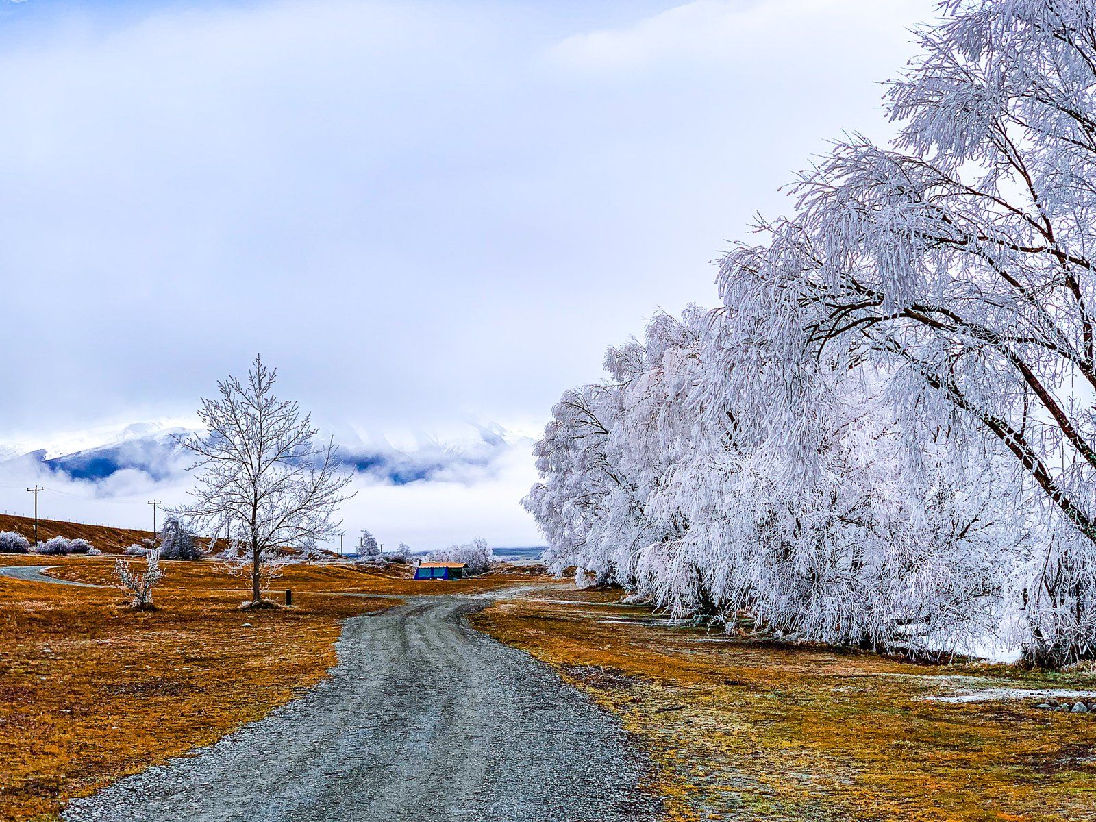
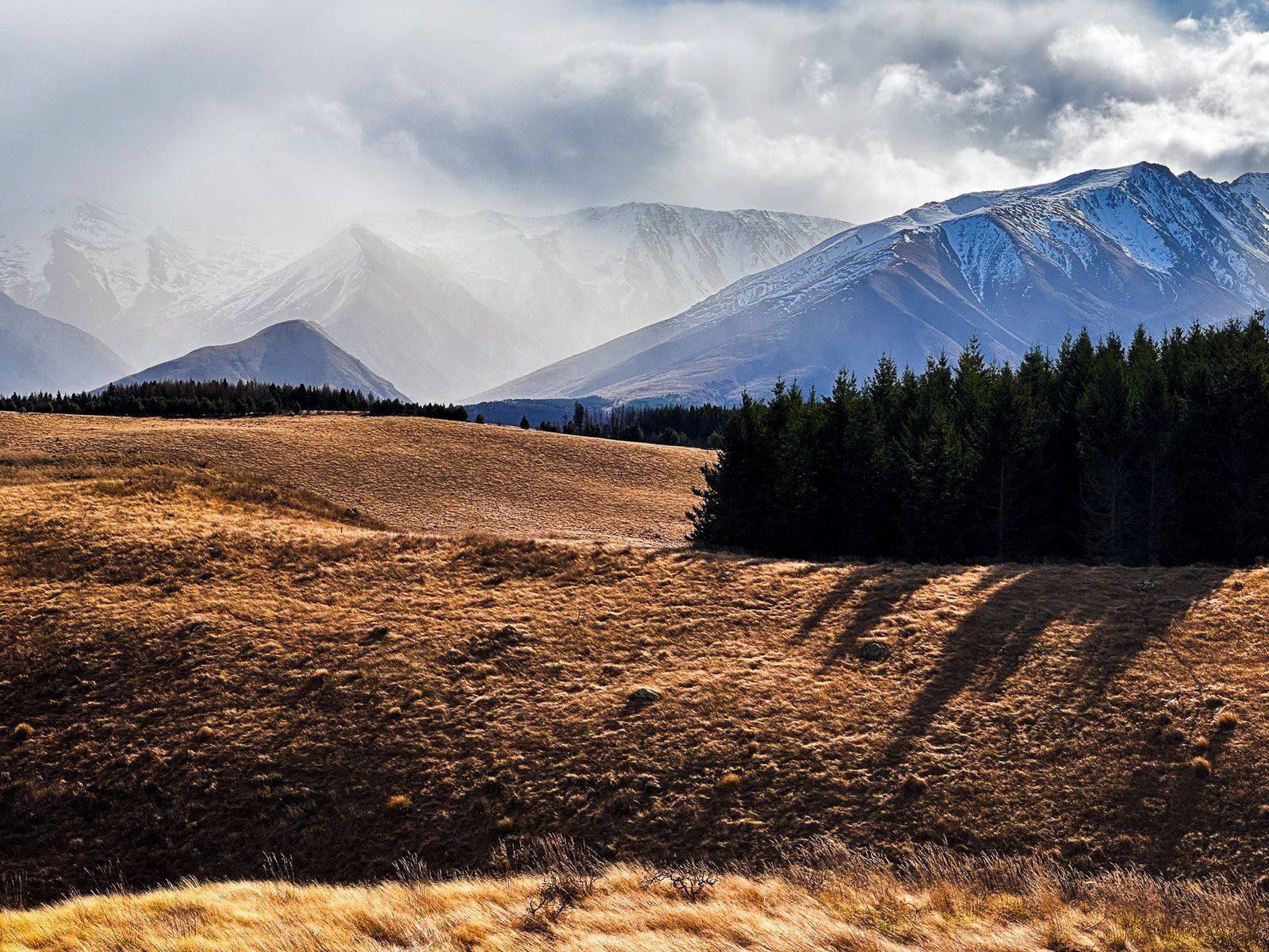
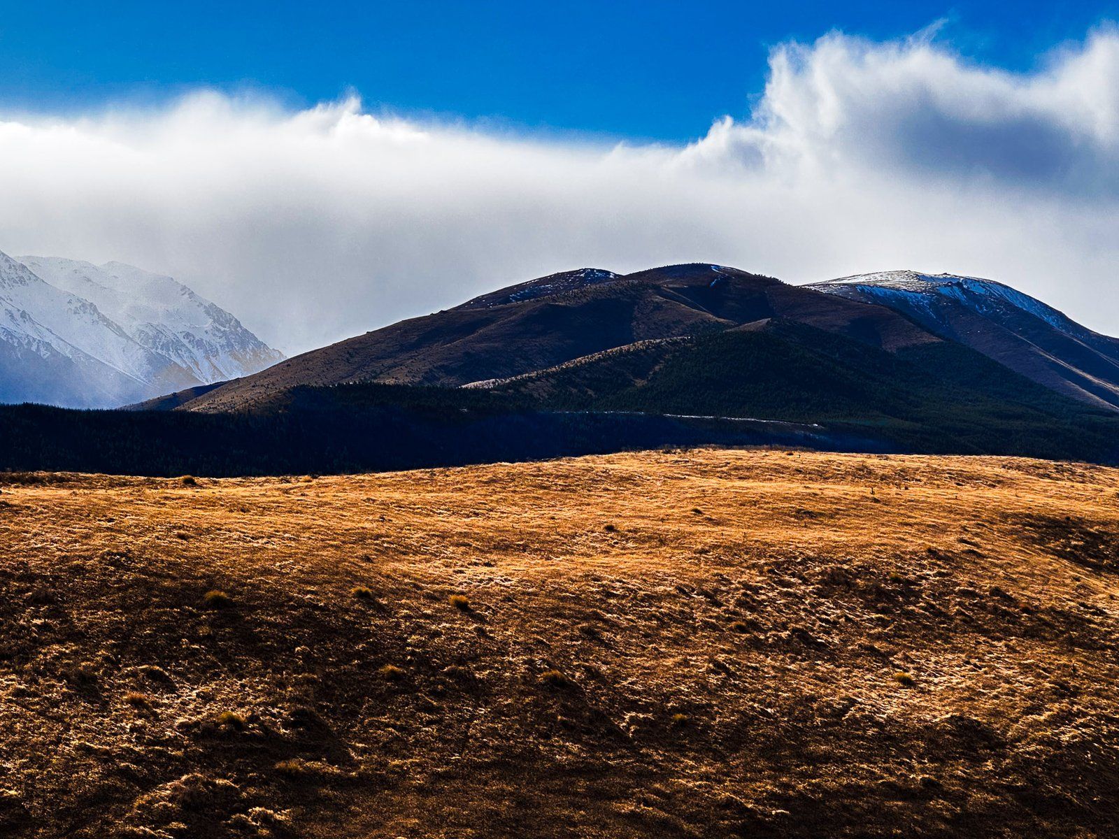
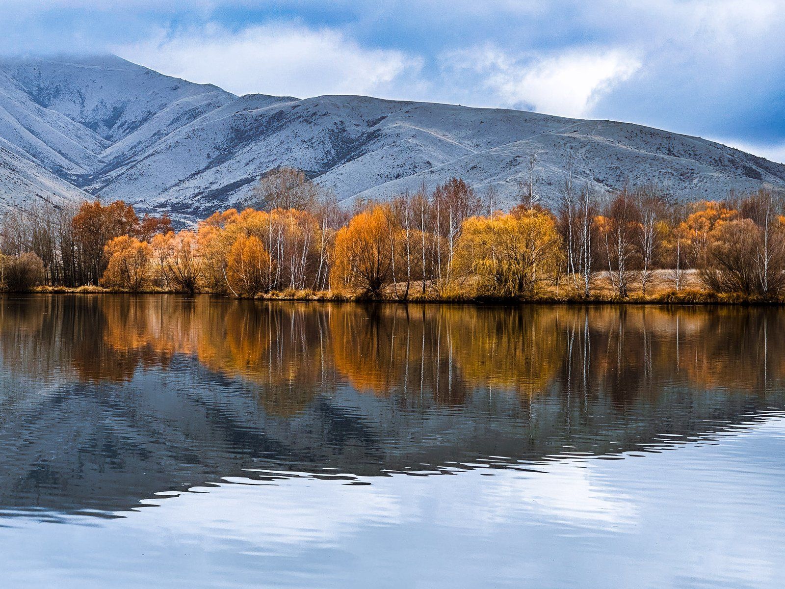
A drive through the Mackenzie Basin in winter with golden tussock grass backed by snow-capped mountains is gorgeous. It is also a relatively reliable place for seeing hoarfrost. “Hoarfrost” comes from an old English adjective “hoary”, meaning grey or white in appearance.
Hoarfrost is a relatively rare form of frost, requiring an extended period of time for moist air to interact with sub-zero surfaces. In the right conditions, the ice builds up and forms various structures as it grows, including fingers and feathers. Generally, hoarfrost requires cold foggy conditions over several days to get good ice coverage. These conditions are quite common in the Mackenzie in winter. If possible, it is best to view as the fog lifts, allowing some sunlight through.
In the event of a hoar frost, the roads along Pukaki and Ohau Canals are especially scenic.
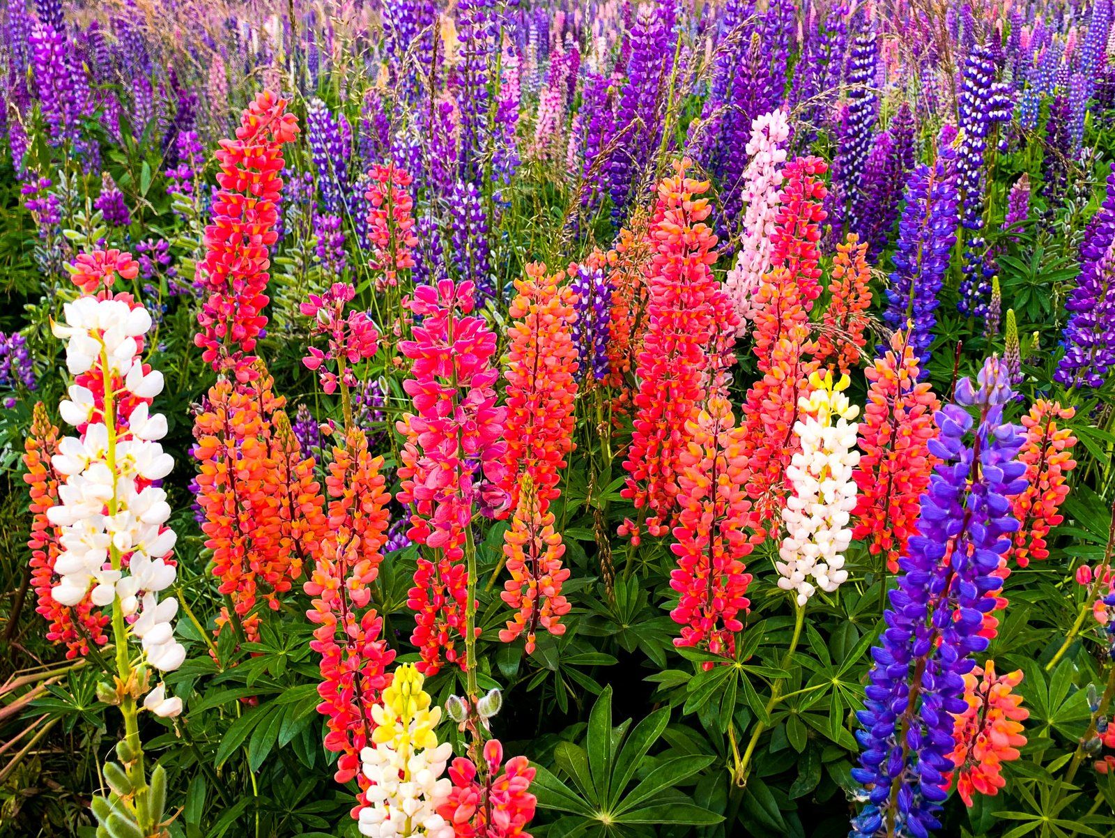
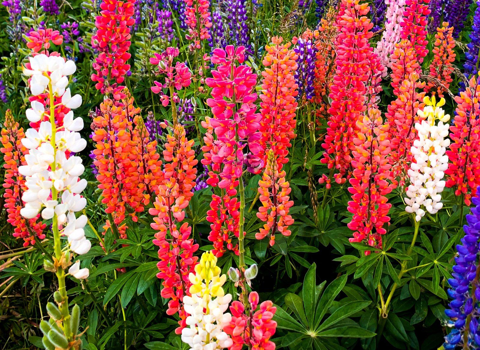
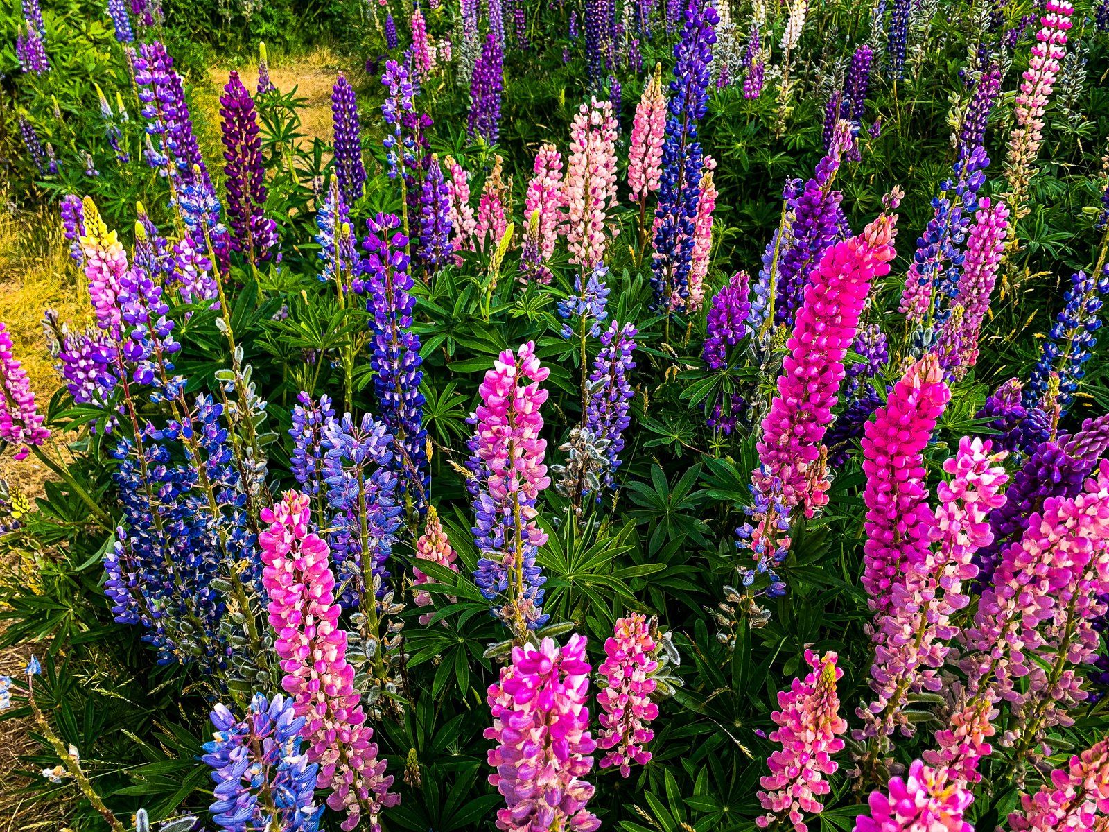
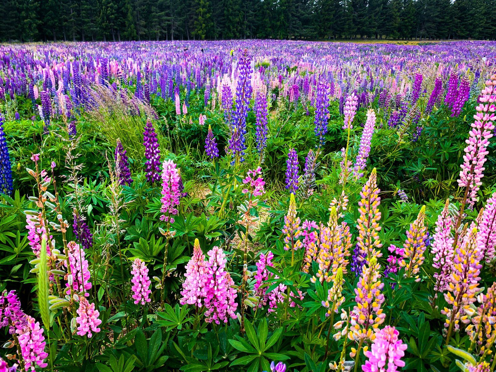
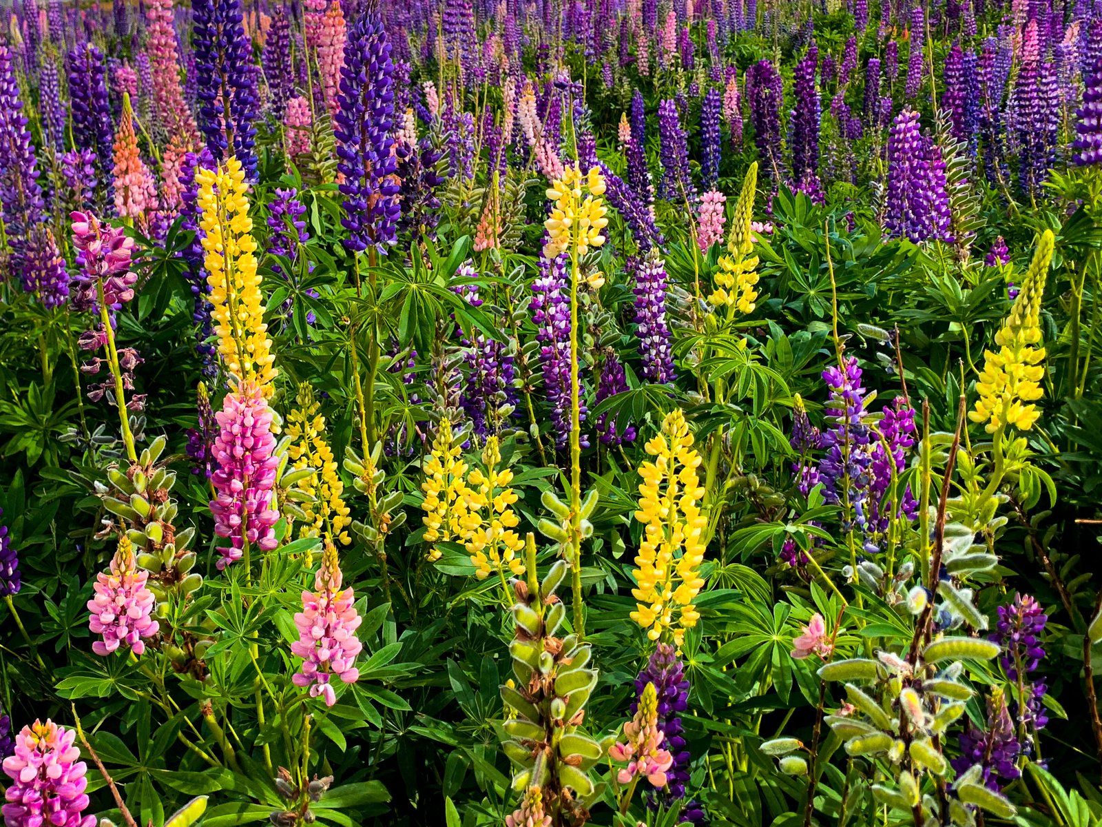
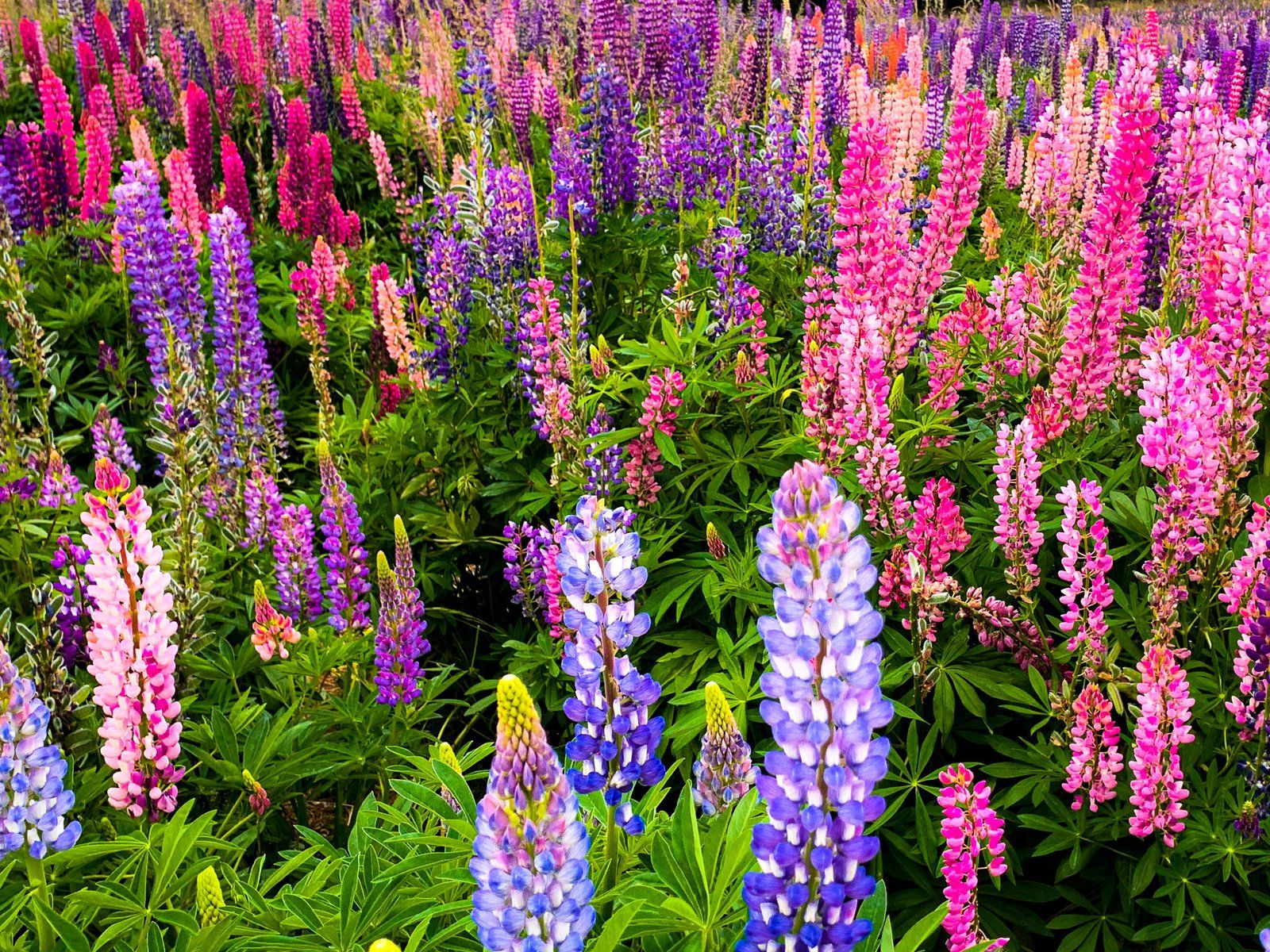
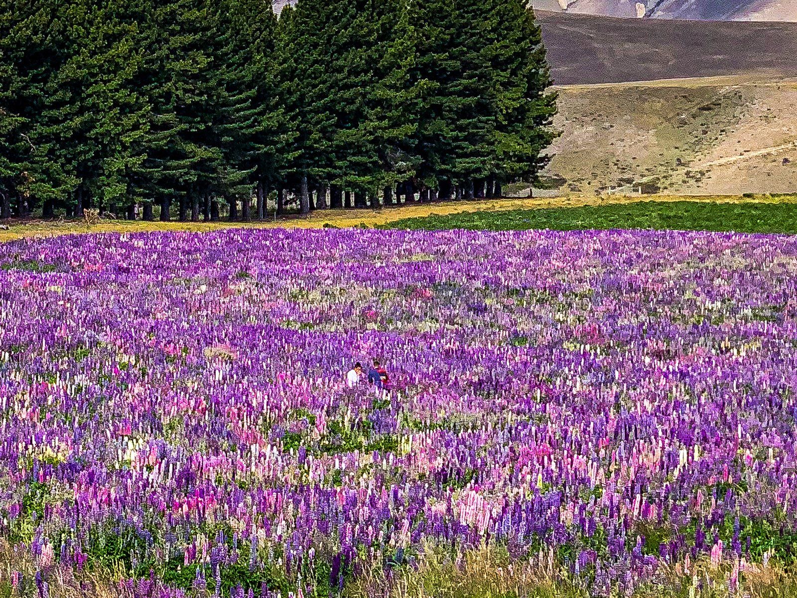
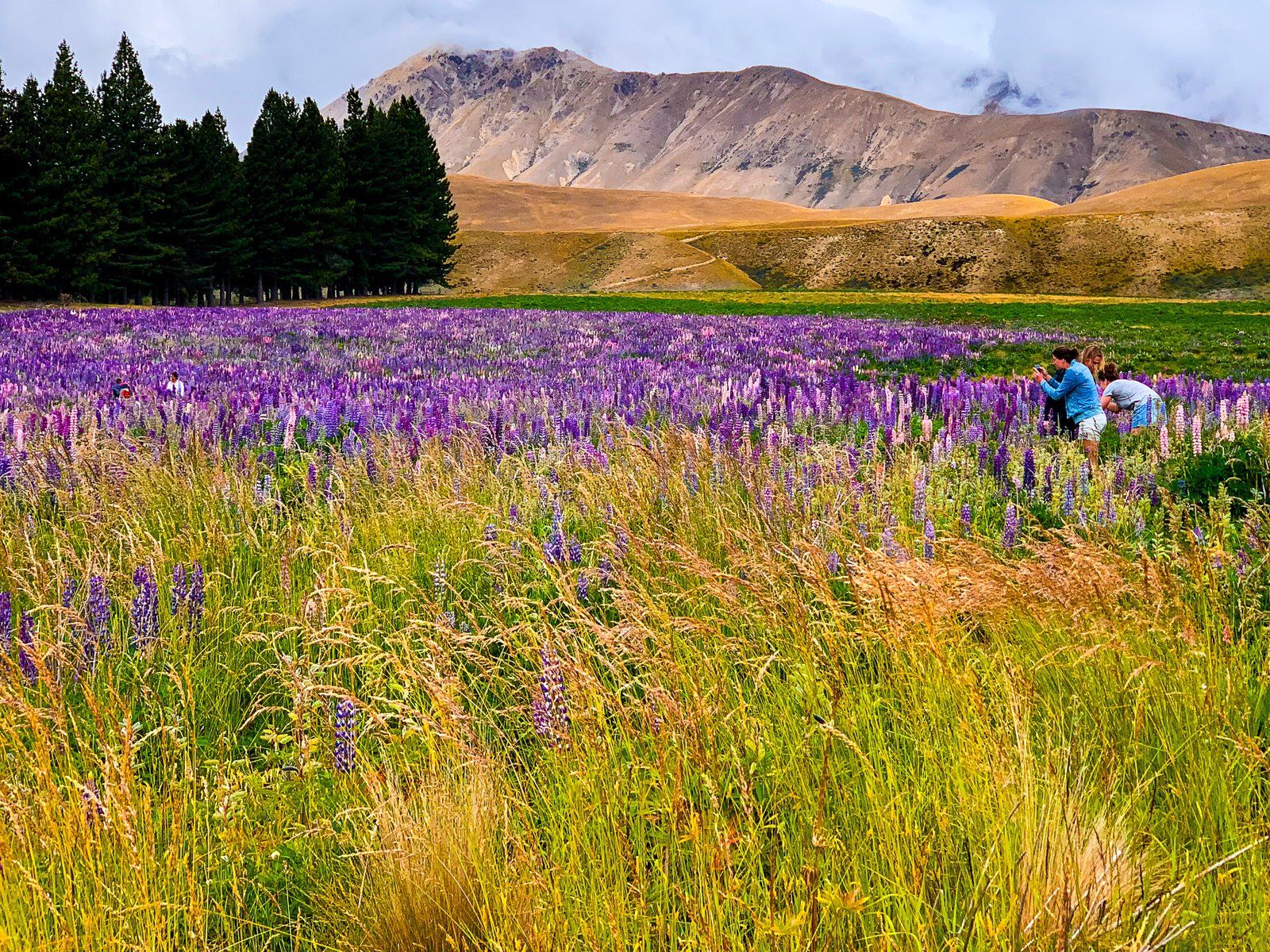
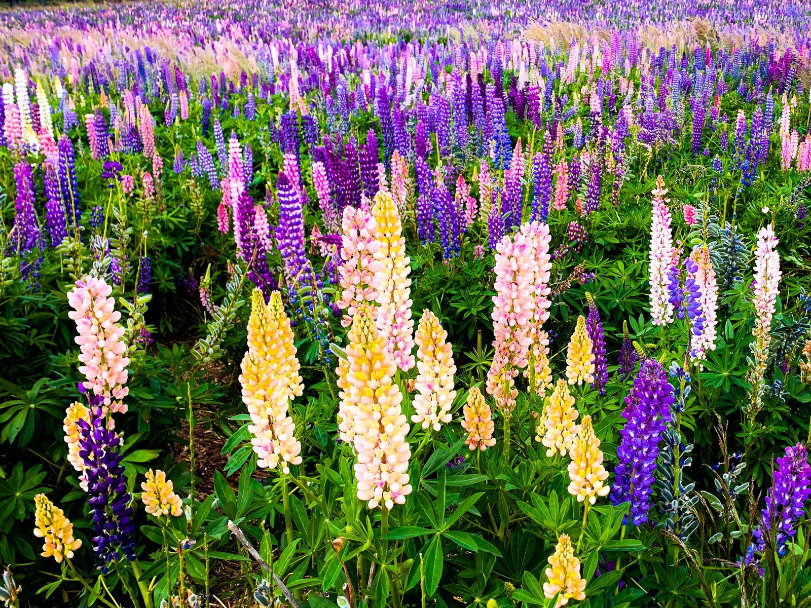
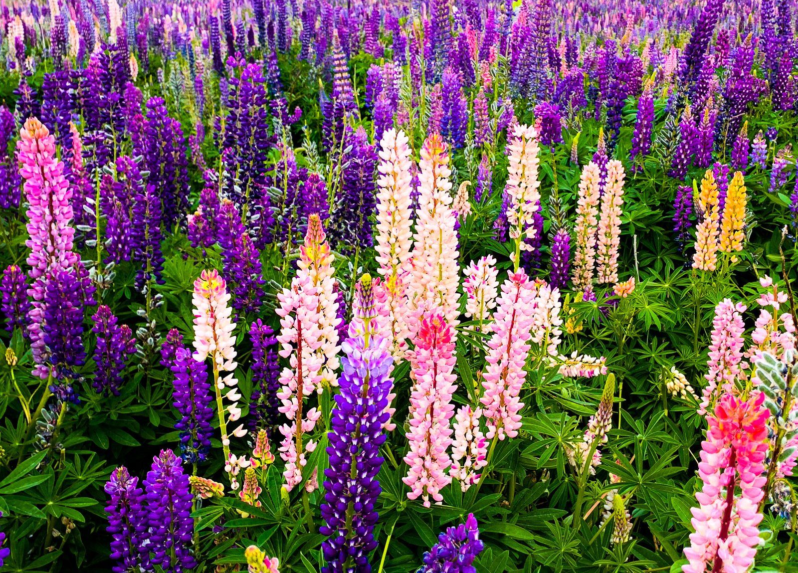
Lupins of Mackenzie Country
Lupins have become a particularly striking feature of the Mackenzie Basin. These pop up in late spring and early summer. They were introduced sometime in the 1940s / 1950s from the UK. One story suggests that Connie Scott deliberately brought seeds from the UK and spread them along the roads to add colour to the otherwise austere environment. Despite the fast-growing flowers being considered a weedy pest species, they do help restore damaged soil. Surrounding stations have also used lupins as animal feed.
Regardless, 75 years later the colourisation plan worked and they are now a spectacular sight in December and January. Whole fields of colour are visible, in addition to regular road and lakeside wilding gardens. The array of colours is also incredible. The flowers are generally blue through purple, but look more closely to see all the colours of the rainbow.
The lupins in NZ originated in the Mediterranean. Romans planted them throughout Europe over 2,000 years ago! Today they are a popular snack in the Middle East. They are also native to the Americas, with the Mackenzie being just their latest conquest!
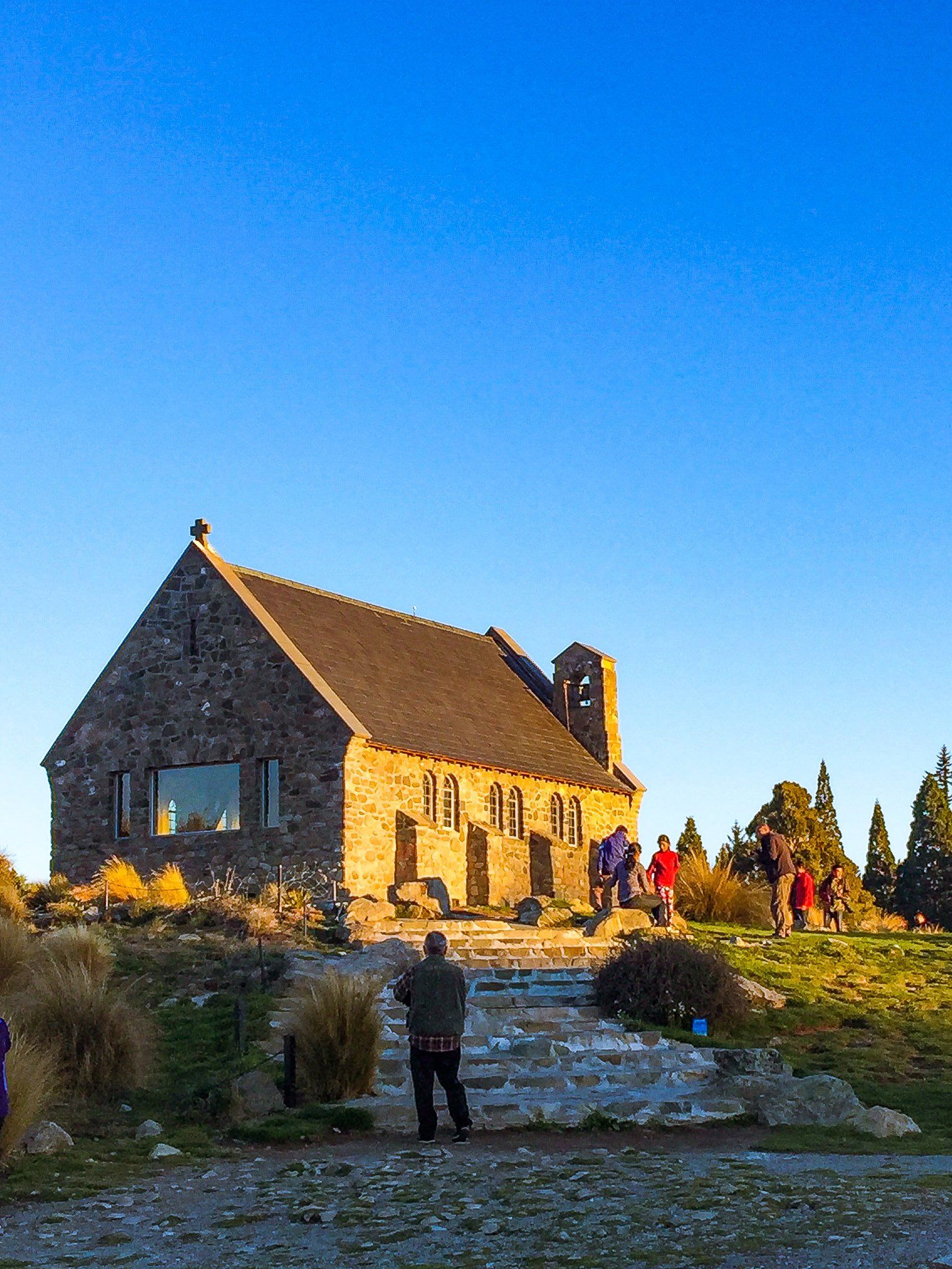
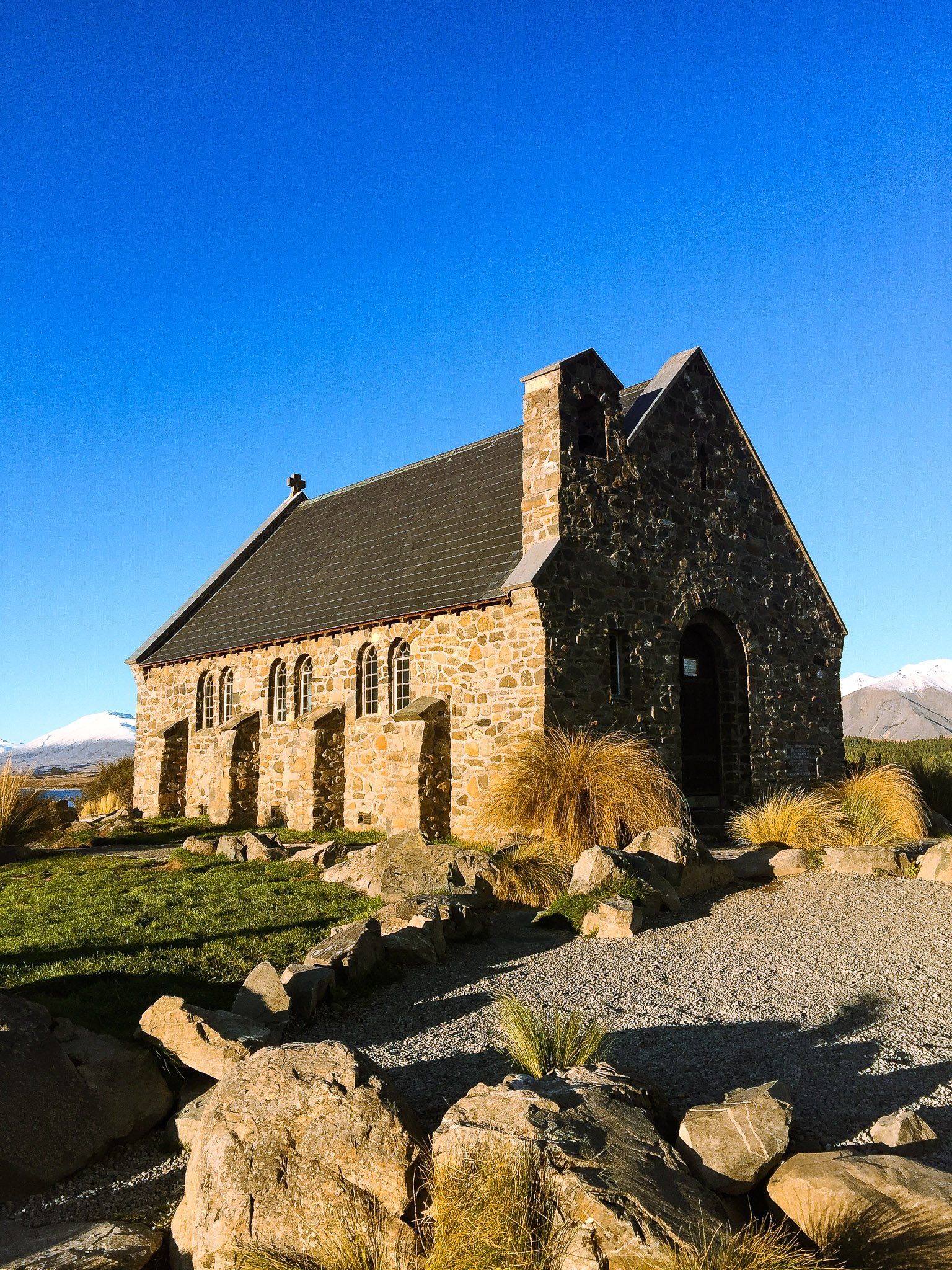
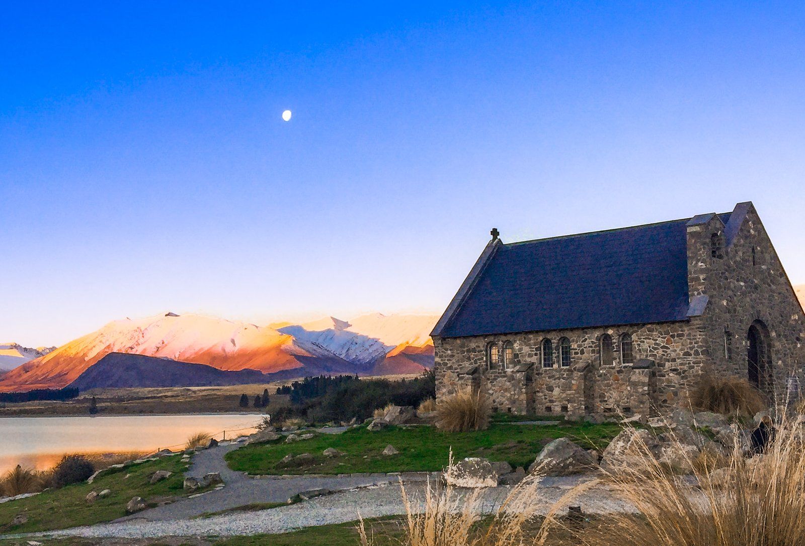
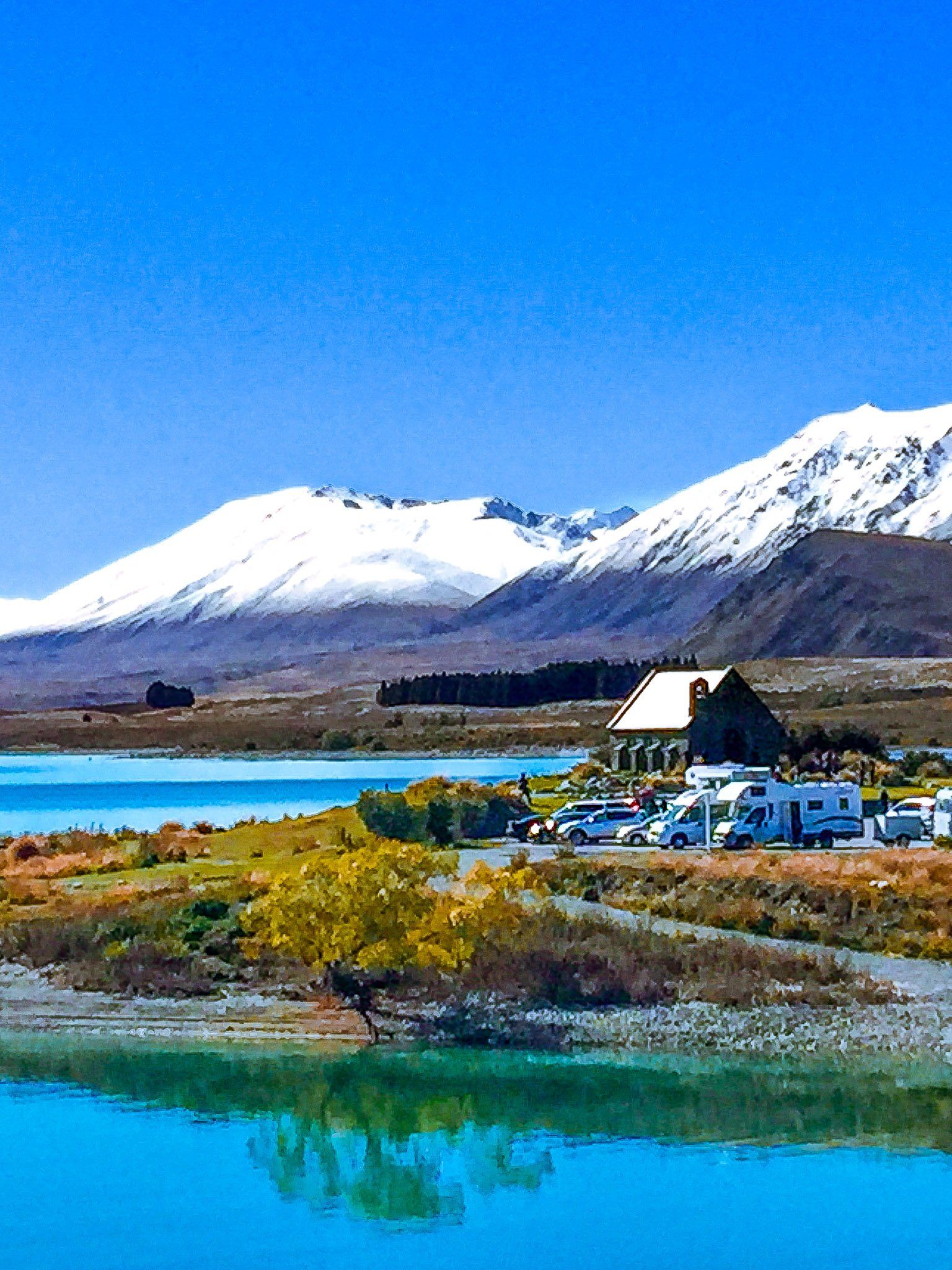
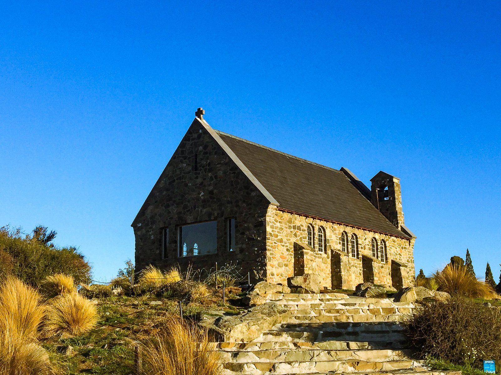
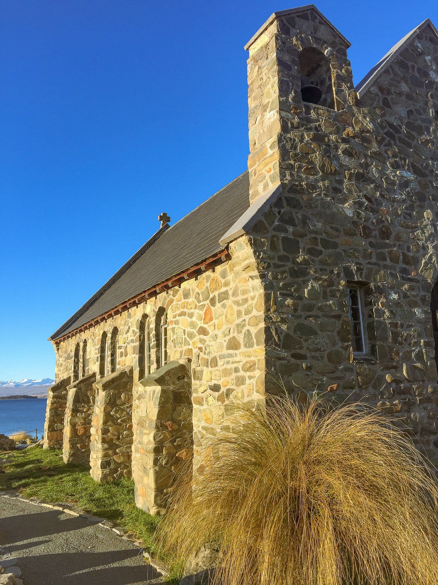
Church of the Good Shepherd
The Church of the Good Shepherd is the only church in Lake Tekapo, dating back to 1935. For a long time it was one of the few stops for travellers in the region, with its simple but attractive design. Built with local stone, it was a requirement that the natural site remain undisturbed. Plus, it occupies a fabulous viewpoint above the lake!
A local artist, Esther Hope, provided the original sketches for the design, which R.S.D. Harman turned into architectural plans. The specification for the building and site were quite extreme. No plants were to be removed, including the tough spiky matagouri bushes. Rocks already on the wall line could not to be moved. New stones had to come from within five miles and remain in their natural condition. In fairness, a quick look at the lakeshore confirms there is no shortage of suitable stones!
The original Tekapo Bridge also made a contribution. After being demolished in the 1950s, wood from the bridge was used to make the vestry cupboard.
The Church is interdenominational and services are year round.
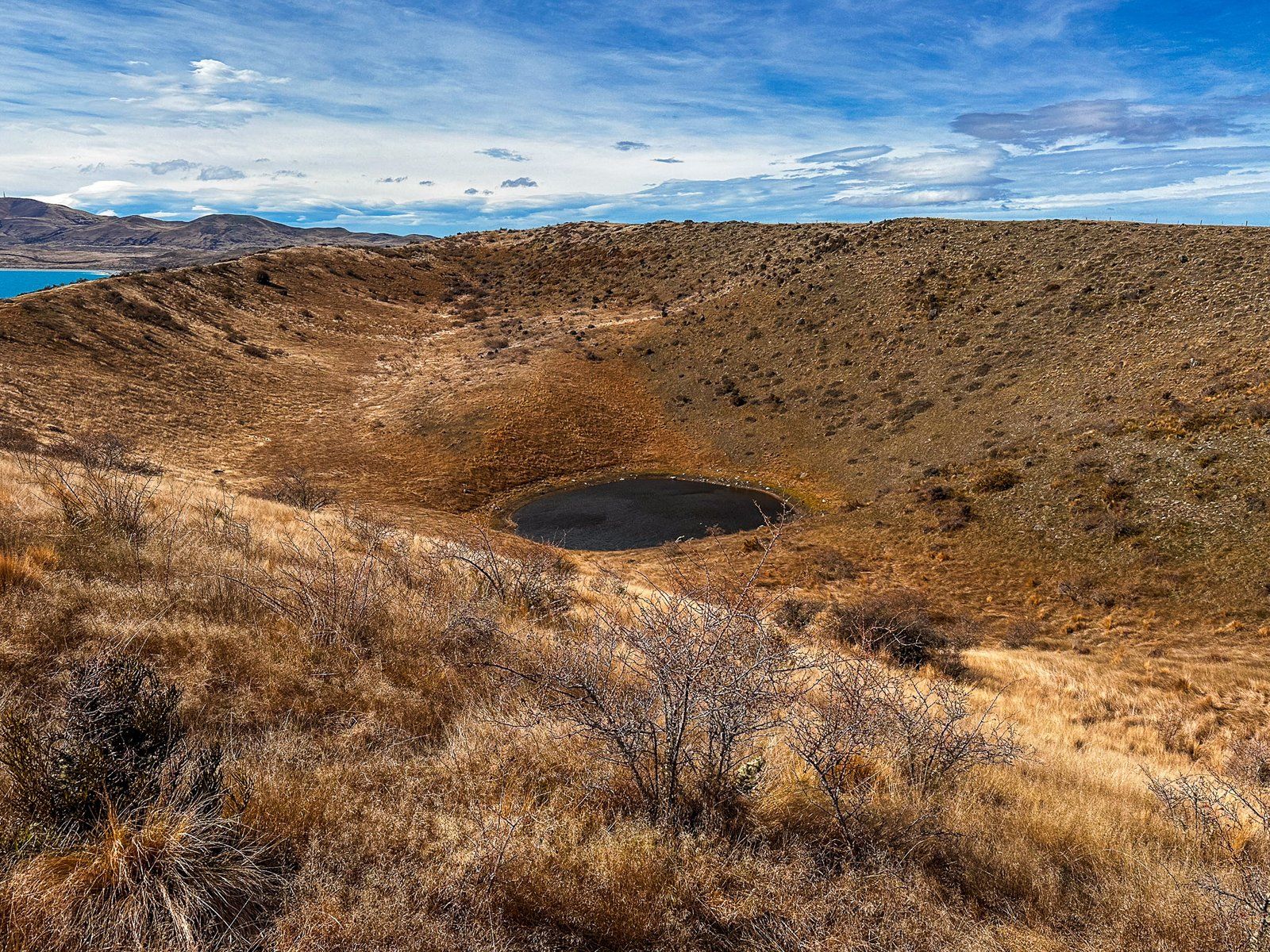
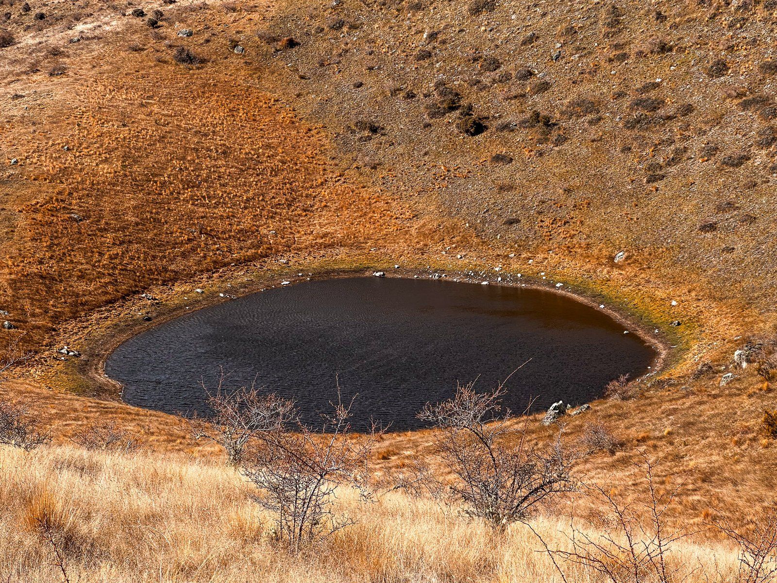
Kettle Hole Track
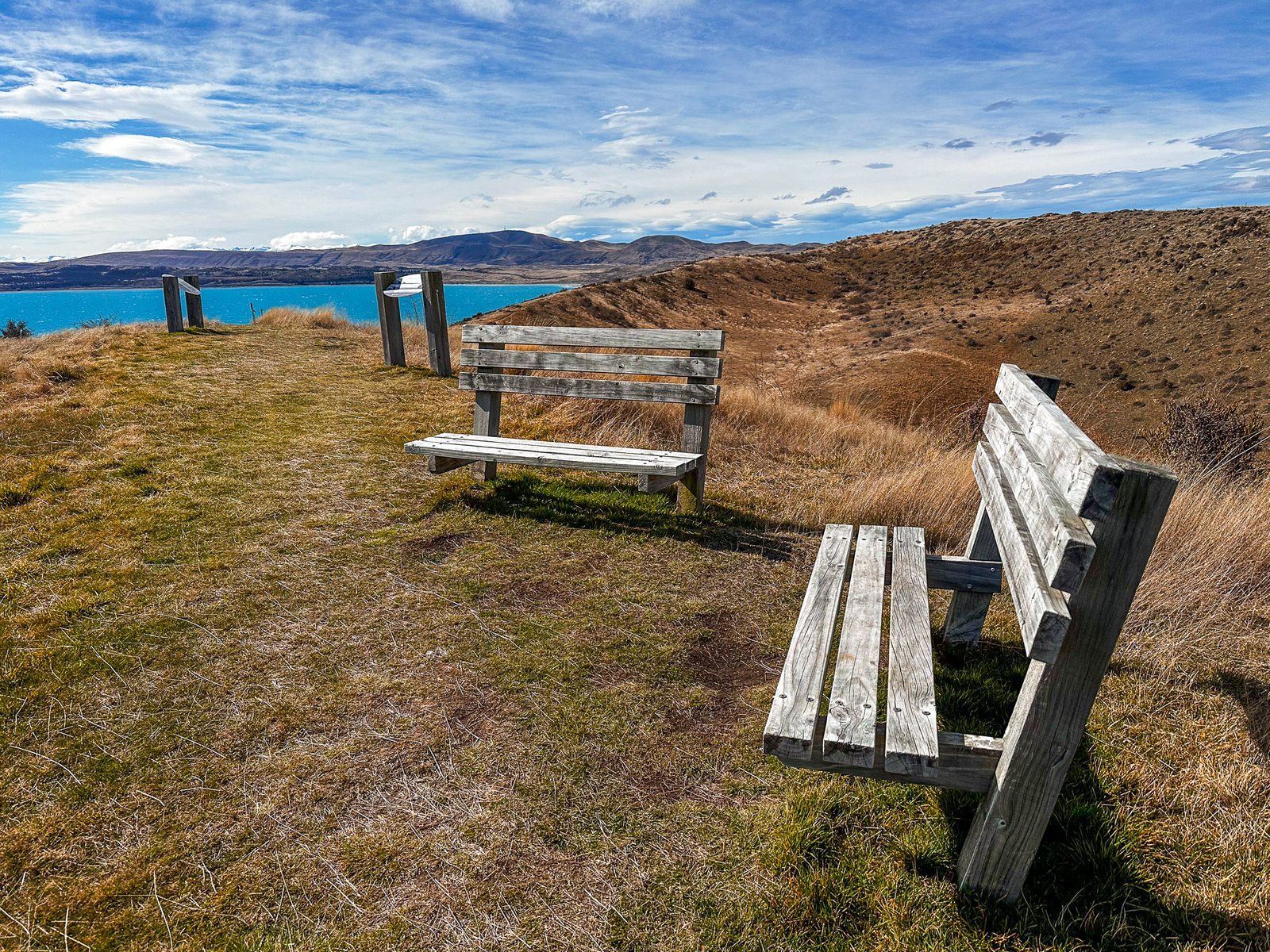
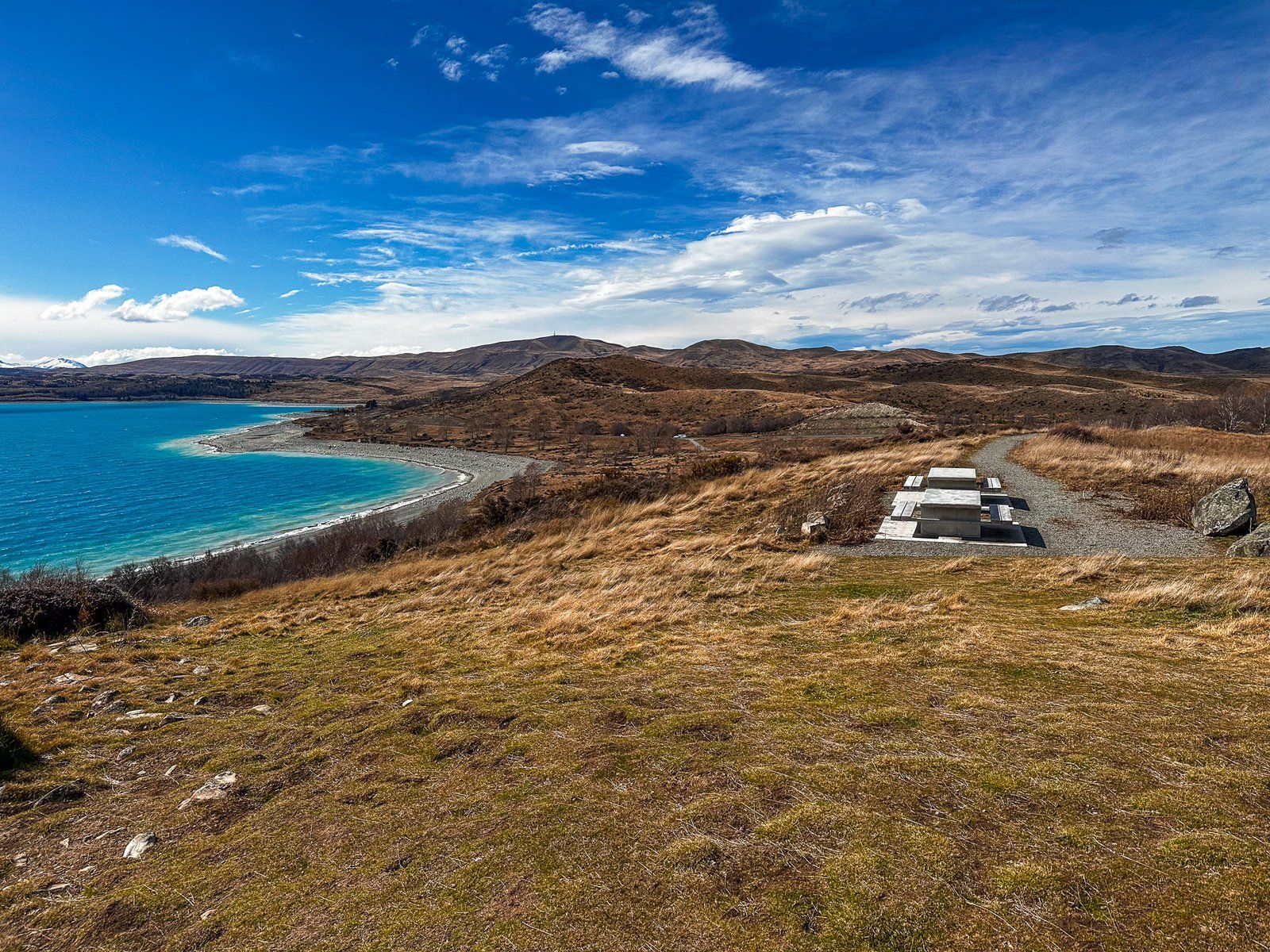
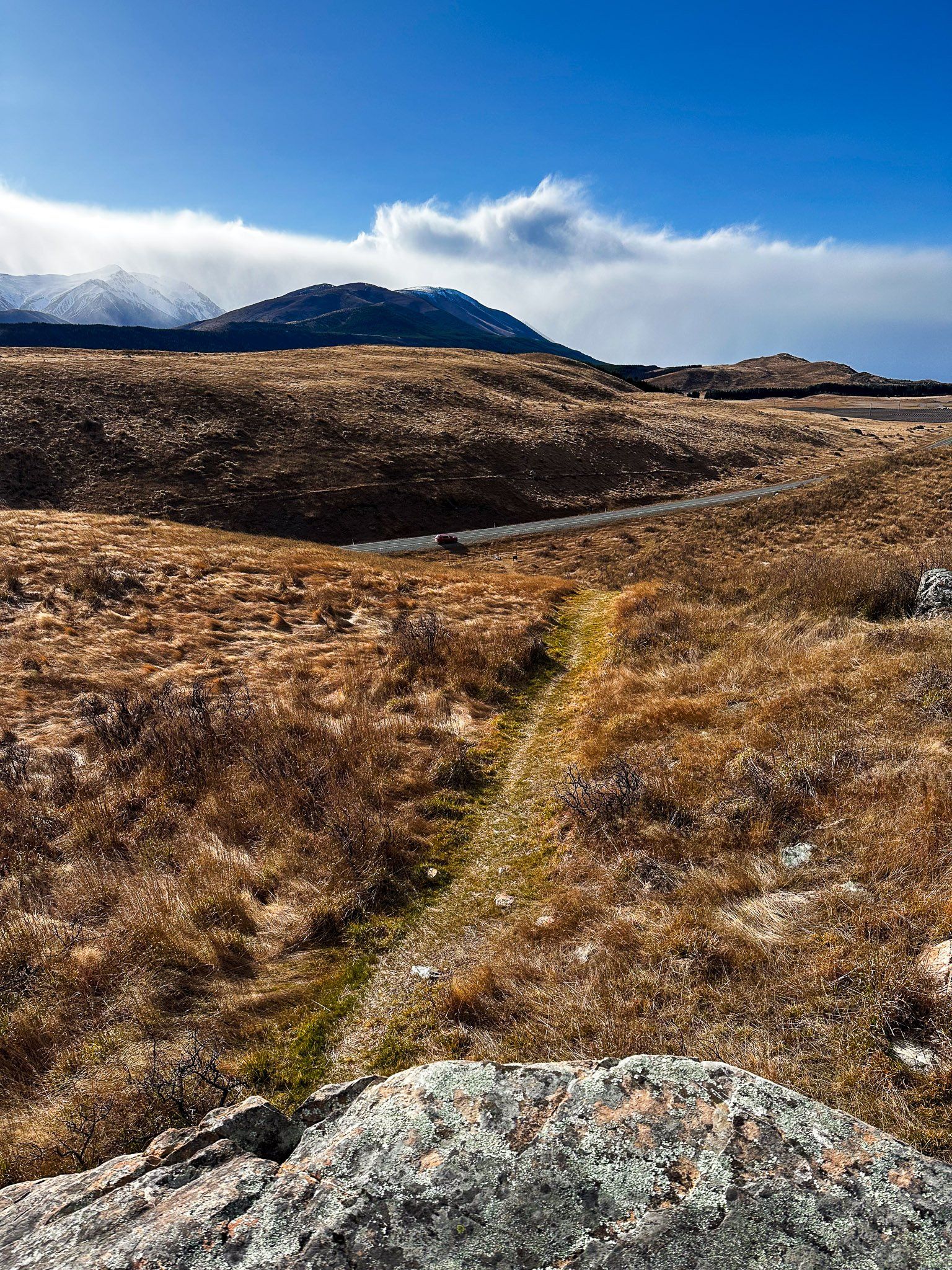
Kettle holes are a reasonably common feature of previously glaciated landscapes. However, they are generally not that big or easy to get to. The Pukaki Kettle Hole Track is an easy one hour return track on the south side of State Highway 8. Over four km, it overlooks Lake Pukaki in the Mackenzie Country.
It rises about 40 metres over moraine hummocks (rounded hills). It initially follows a farm track up onto the ridge of the Pukaki moraine. This is the 600 metre high, steep hill at the south end of the lake that marks the maximum extent of the Tasman Glacier at the end of the last ice age. There are amazing views from the ridge as you continue along the ridge to the kettle hole (it may be windy). The track then follows the moraine ridge to the kettle hole, then loops around the hole. There are explanatory panels at the main viewpoint.
The hole is up 60 metres below the highest point on the track and up to 300 metres wide, with a pond in the bottom, making it big compared to most such holes. It resembles a volcanic crater but was actually created when large blocks of glacial ice got buried by subsequent sediments and rocks as the glacier retreated. Eventually the ice melts and ceiling collapses, leaving behind the crater.
The track access road is at the northeast end of the Pukaki Dam, opposite the access road to a viewpoint and freedom camping area.
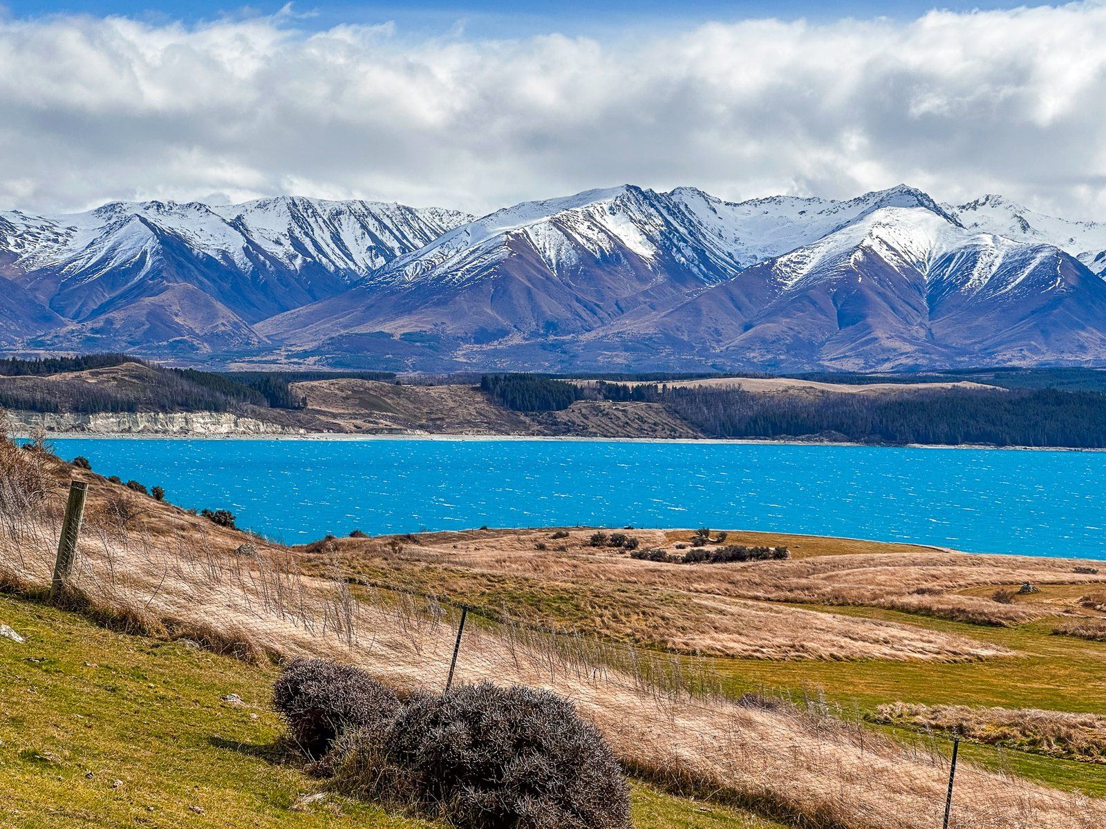
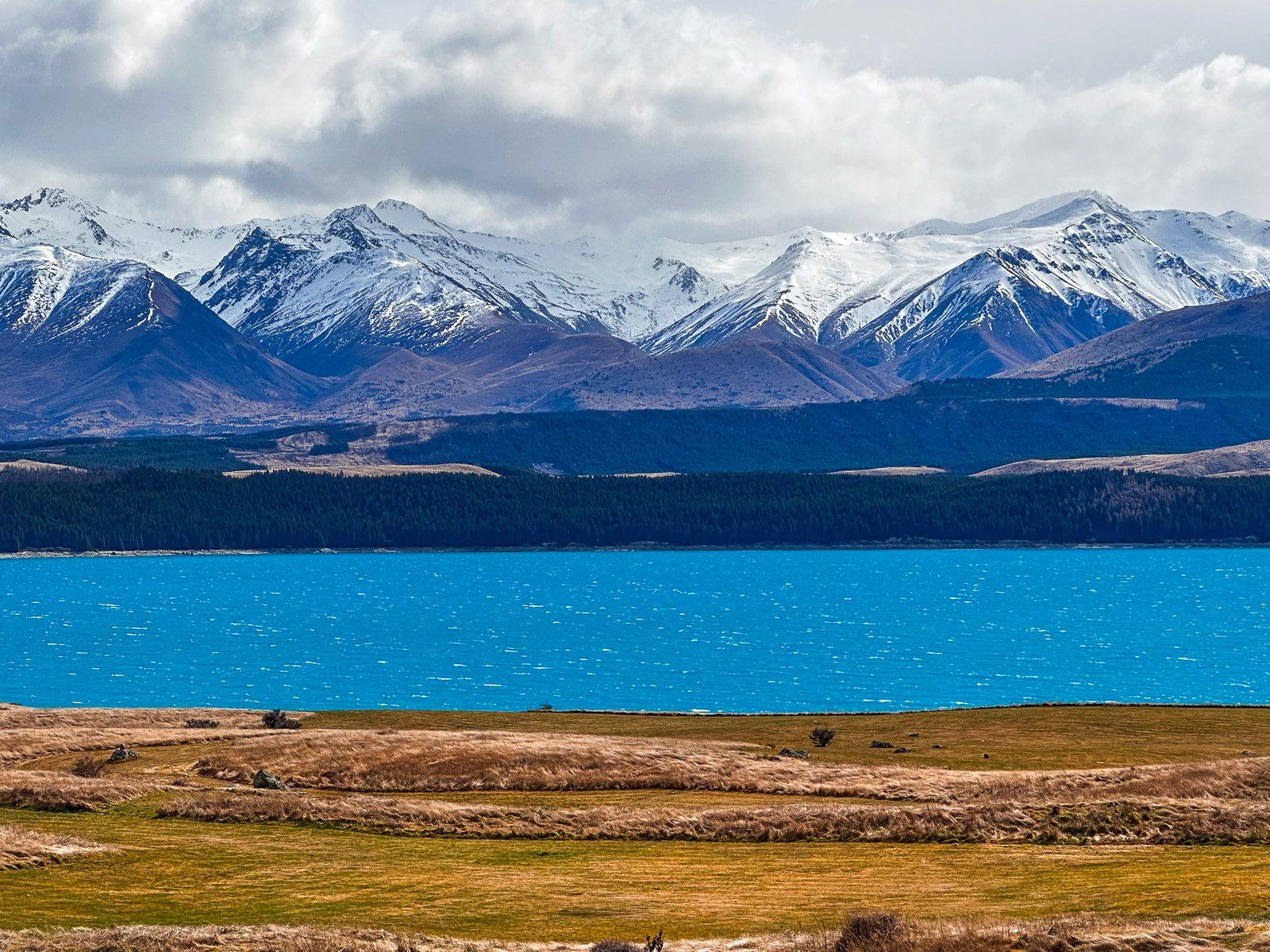
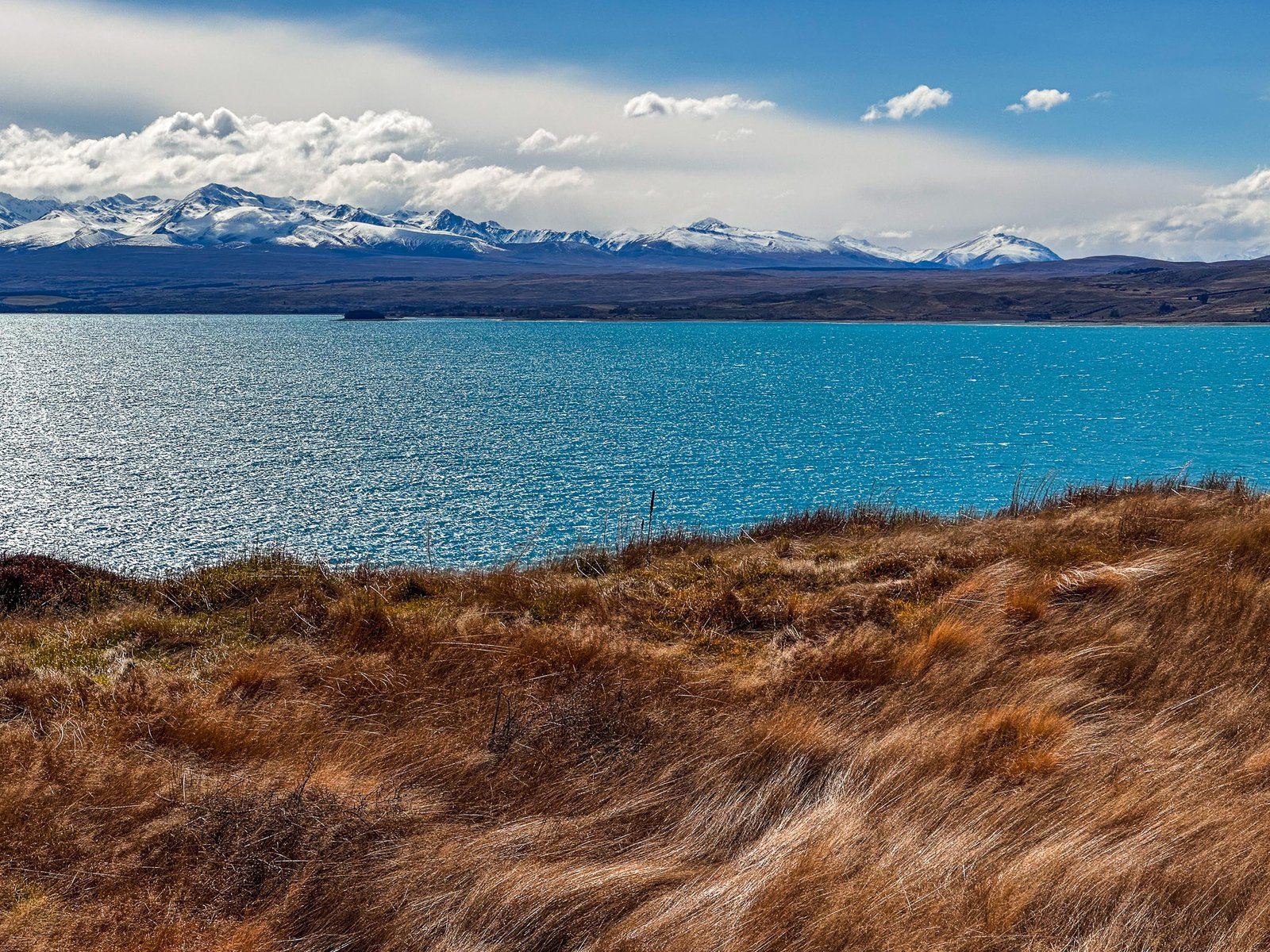
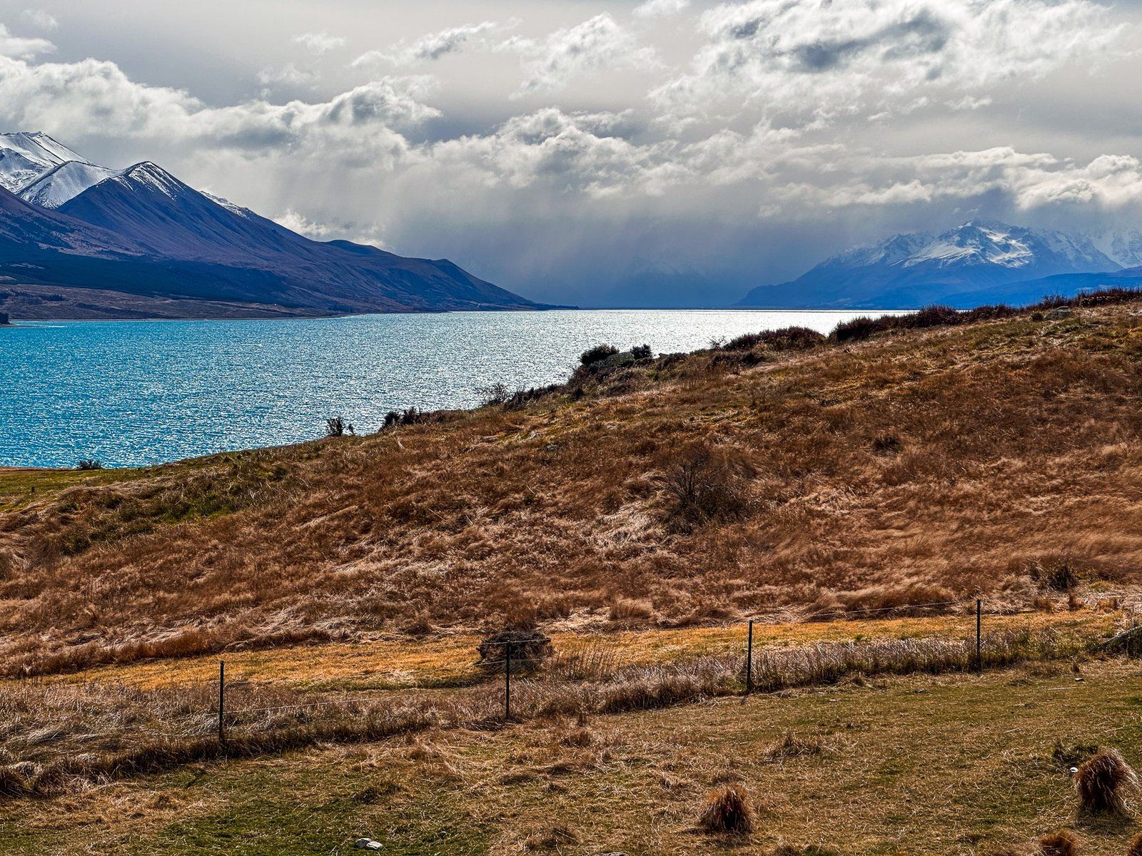
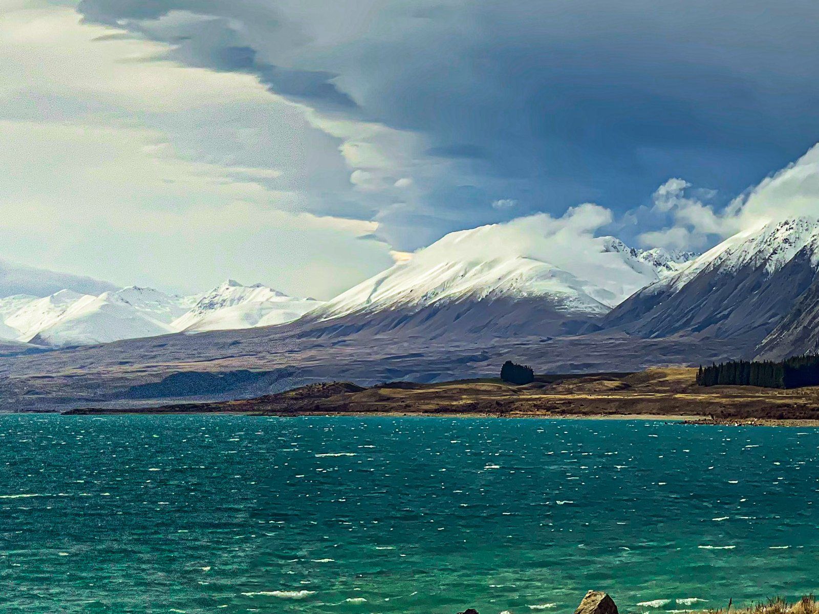
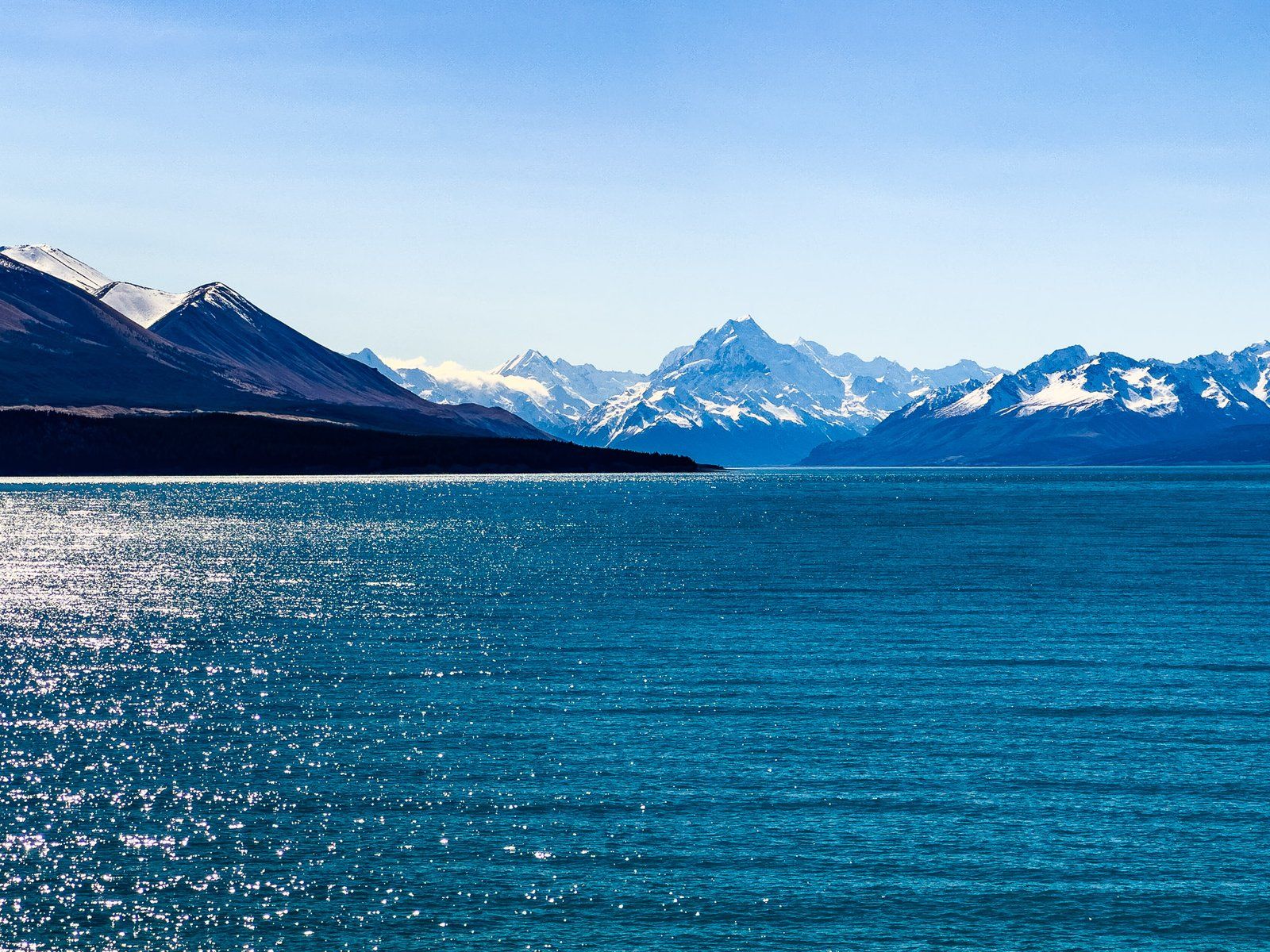
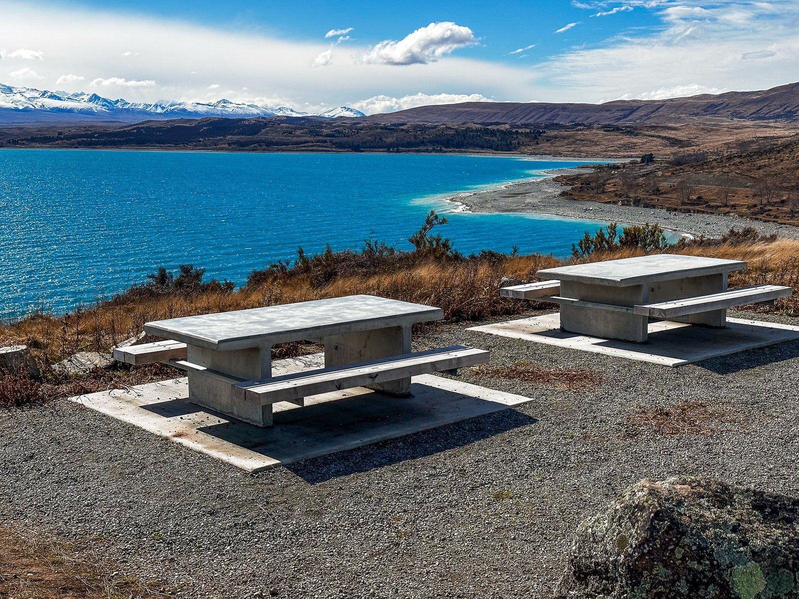
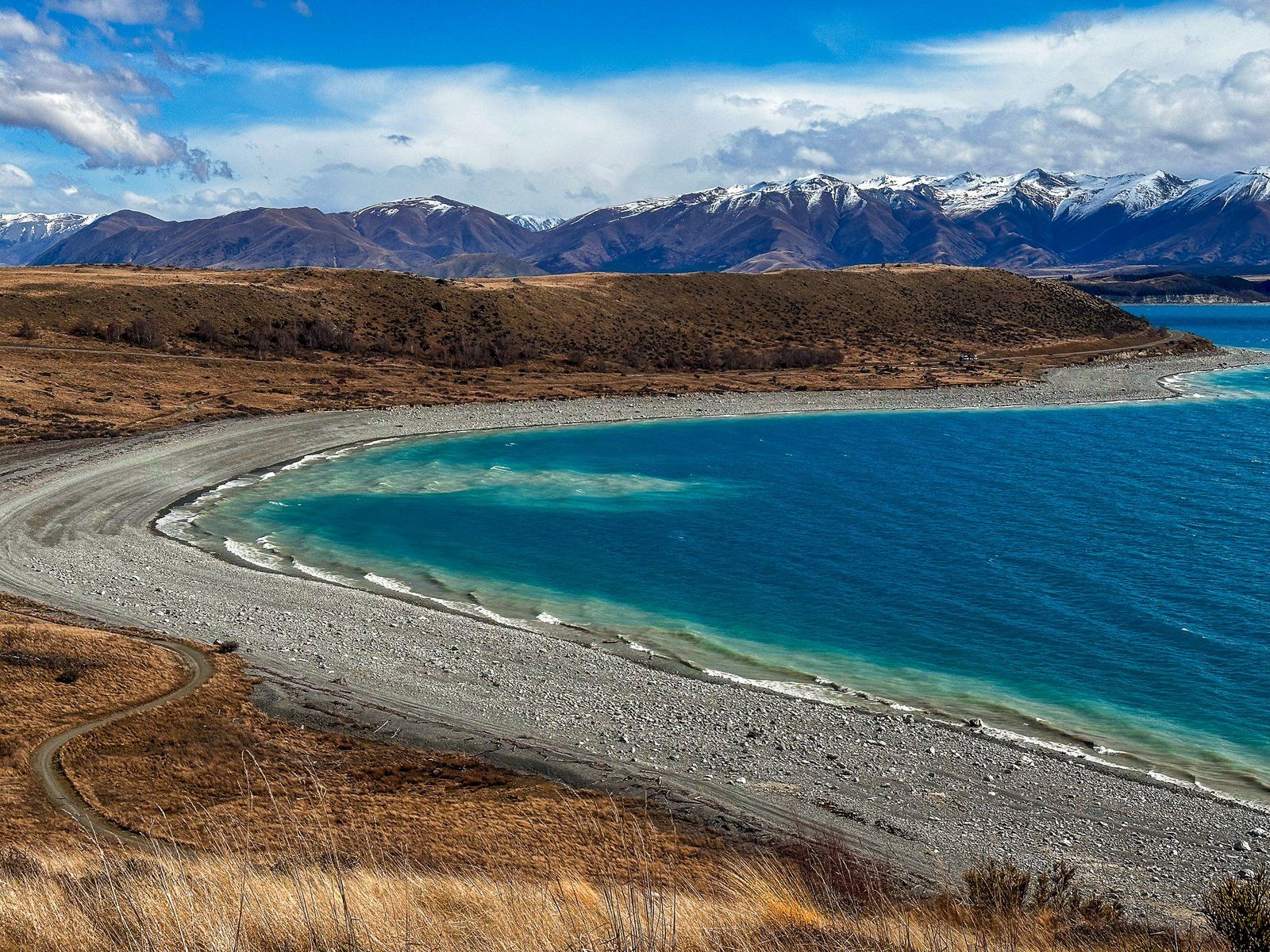
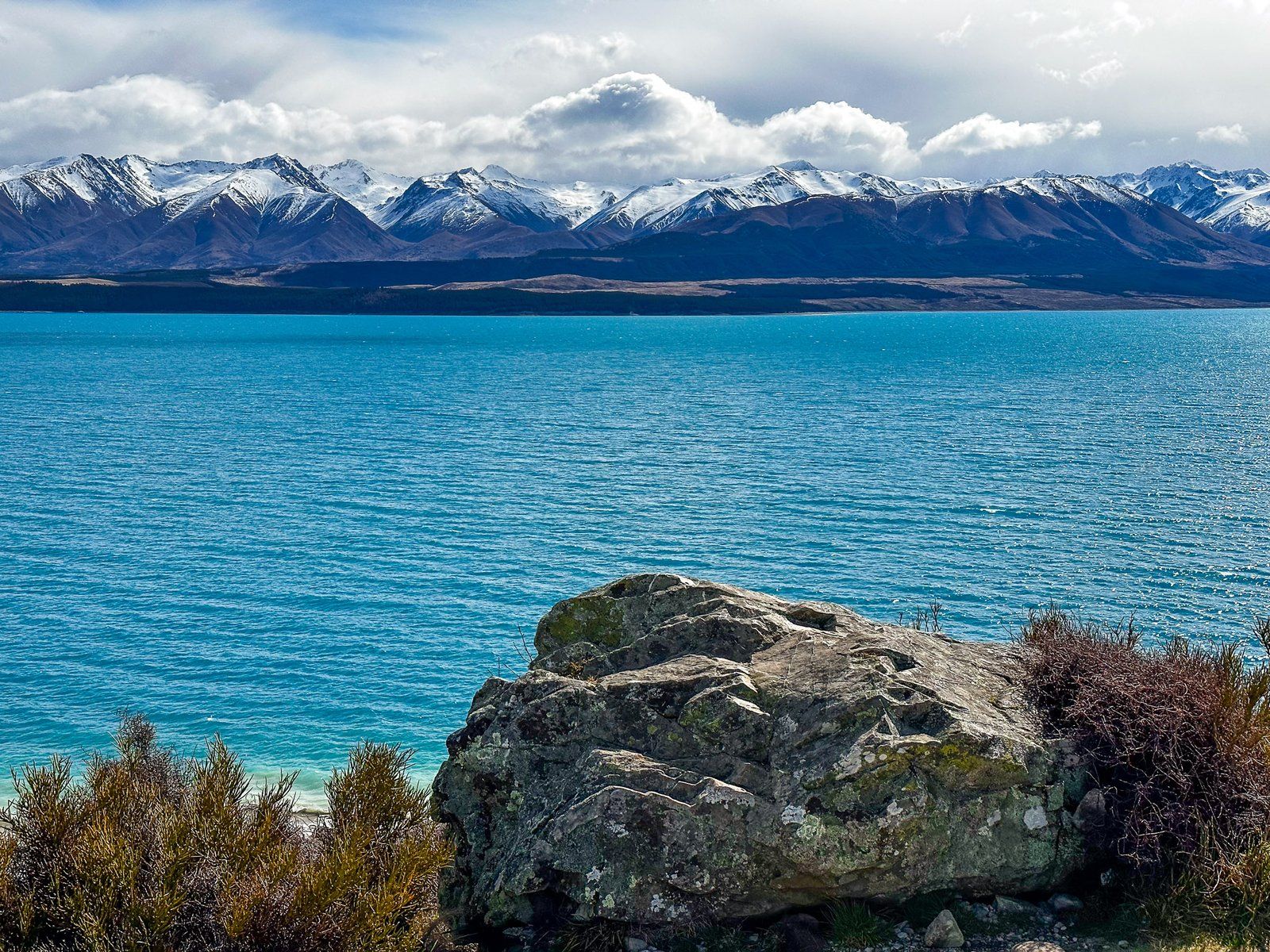
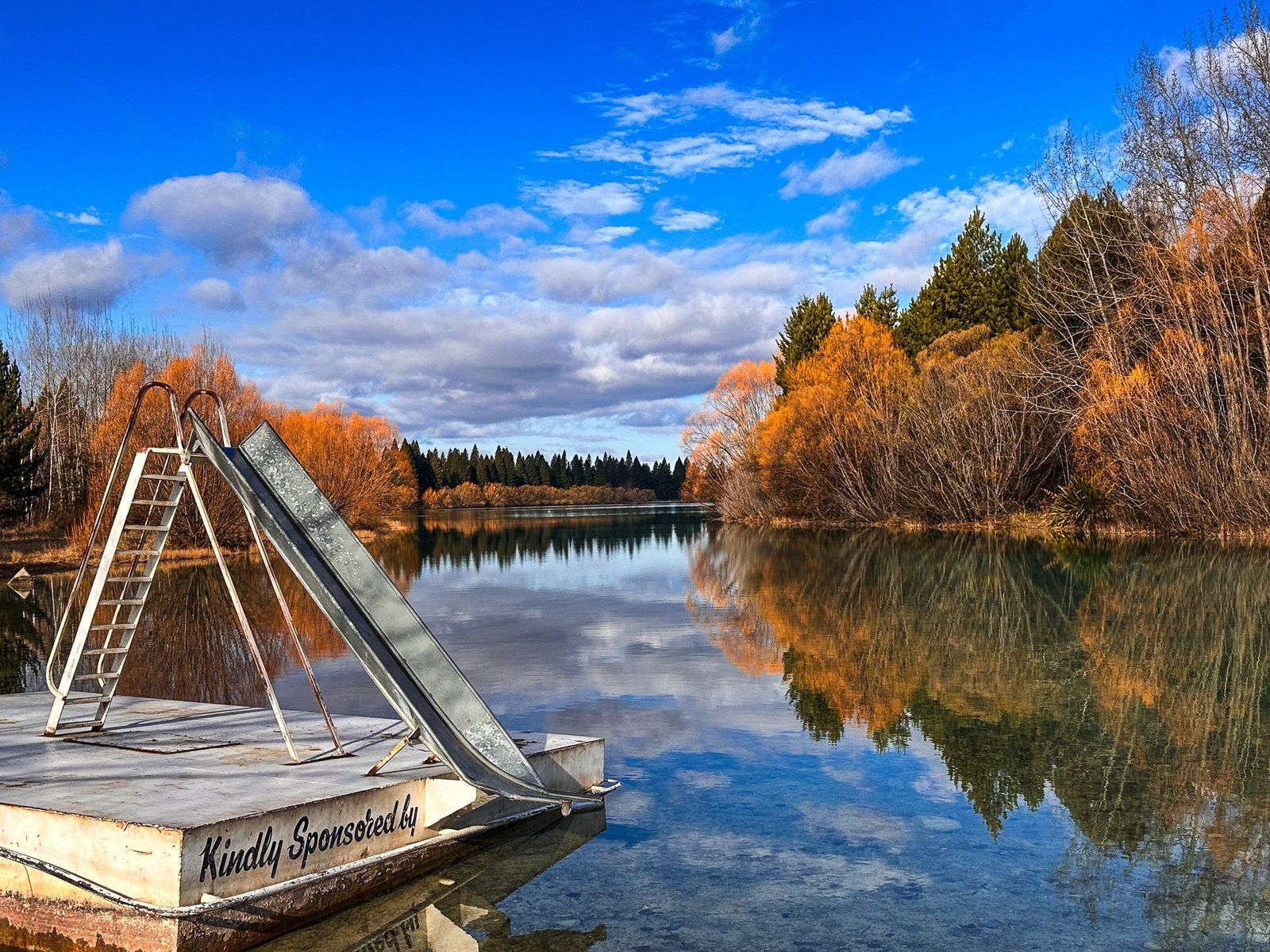
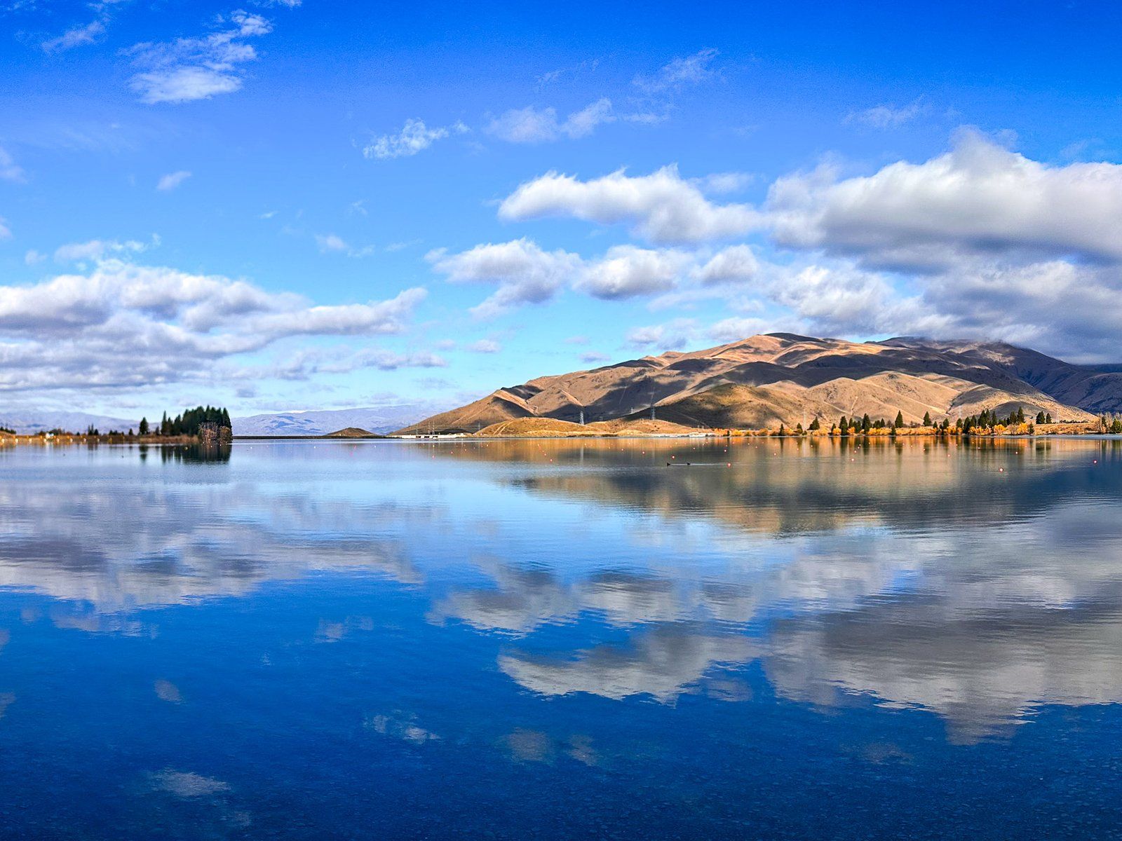
Lake Pukaki
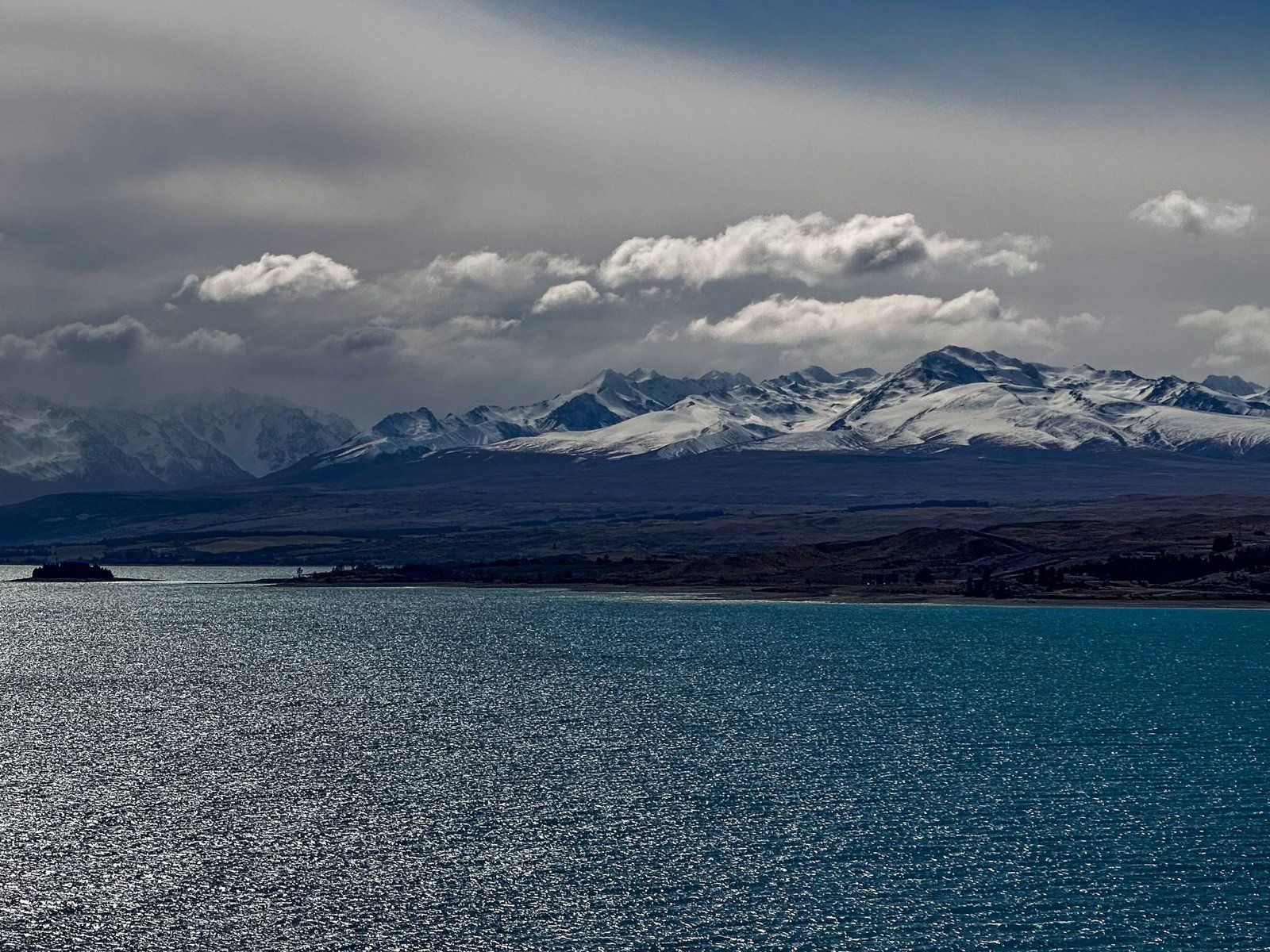
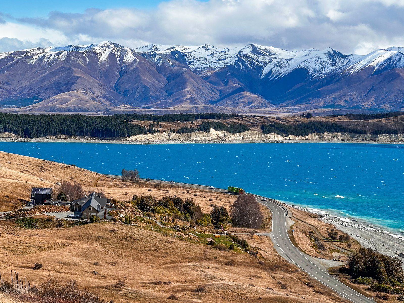
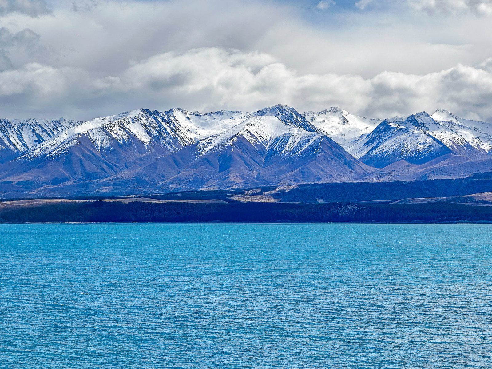
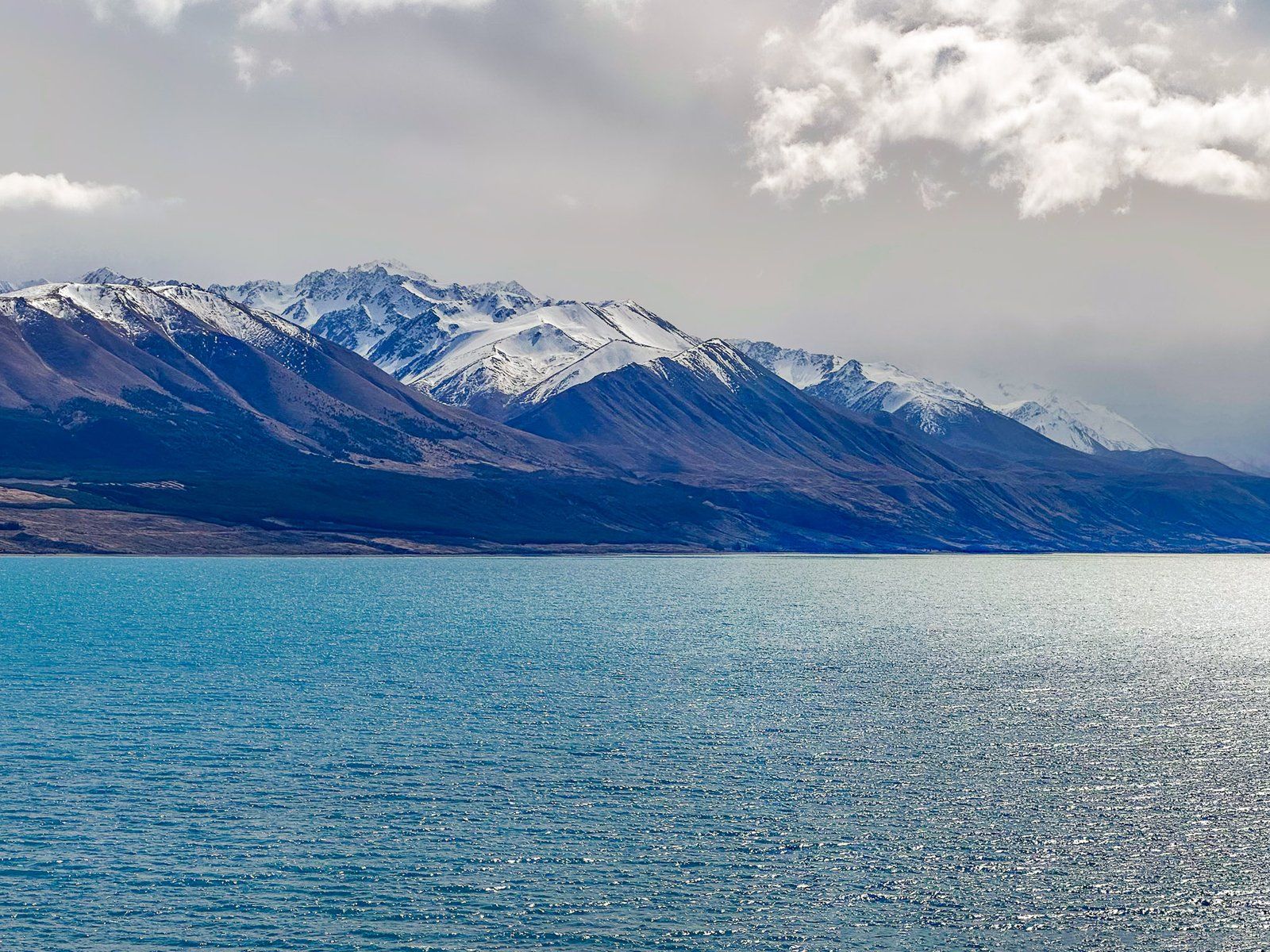
Lake Pukaki is a major post-glaciation lake, lying at the head of the Tasman River. It is fed mainly by the Tasman Glacier, the largest and longest glacier in the Southern Alps, and its terminal lake, Lake Tasman. The Glacier and Lake are on the northside of Aoraki Mt Cook and Mt Tasman. As a glacial lake, there is a relatively high concentration of finely ground-up mineral particulates in the water. As a consequence, Lake Pukaki often has similar turquoise colouring to Lake Tekapo, depending on the light conditions.
There is no town at Pukaki but there are several parking areas with views across the Lake. Several south end viewpoints are directly accessible from State Highway 8, and from the Alps2Ocean Cycle Trail that runs around the south end of the lake. On a clear day, you can see all the way to Aoraki Mt Cook and the central highest part of the Southern Alps. At the largest parking area, there is a small shop that specialises in fresh salmon from one of the local canal farms.
If you turn down State Highway 80 towards Mt Cook National Park, there is a major viewpoint with views up and across the Lake. There are also several other obvious roadside stops with views of the Lake and its sometimes steep-sided cliffs.
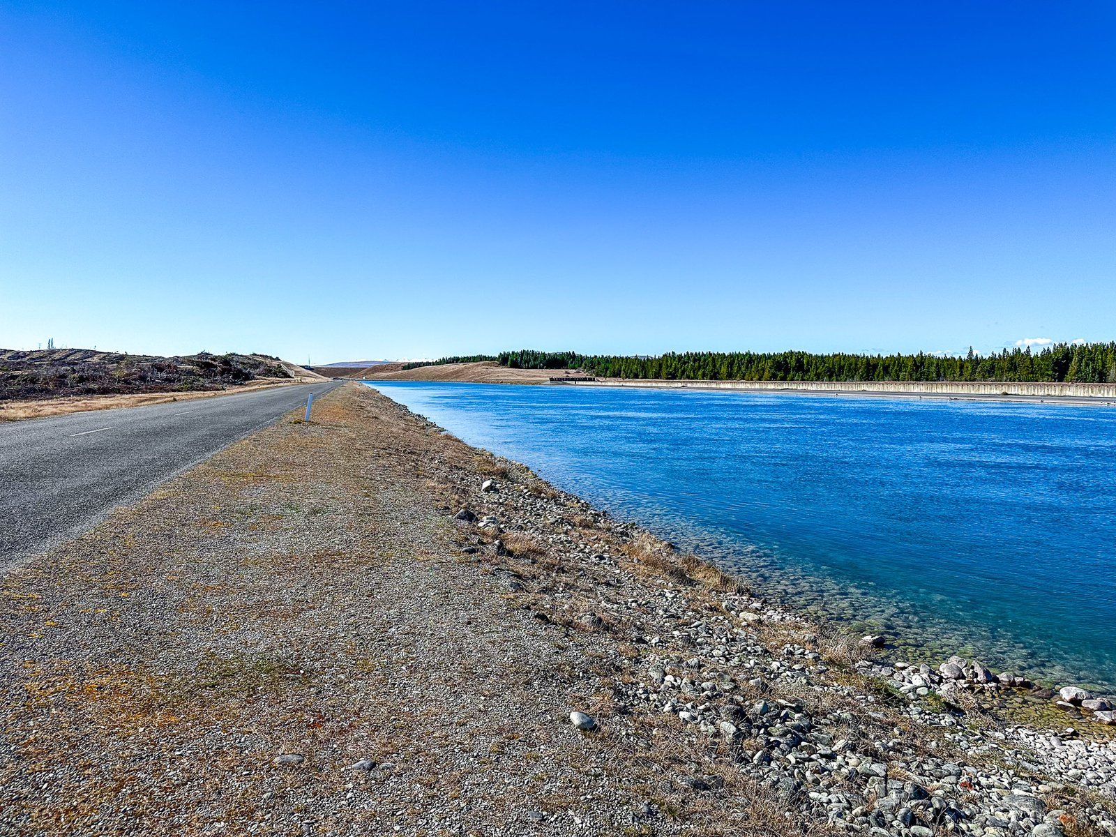
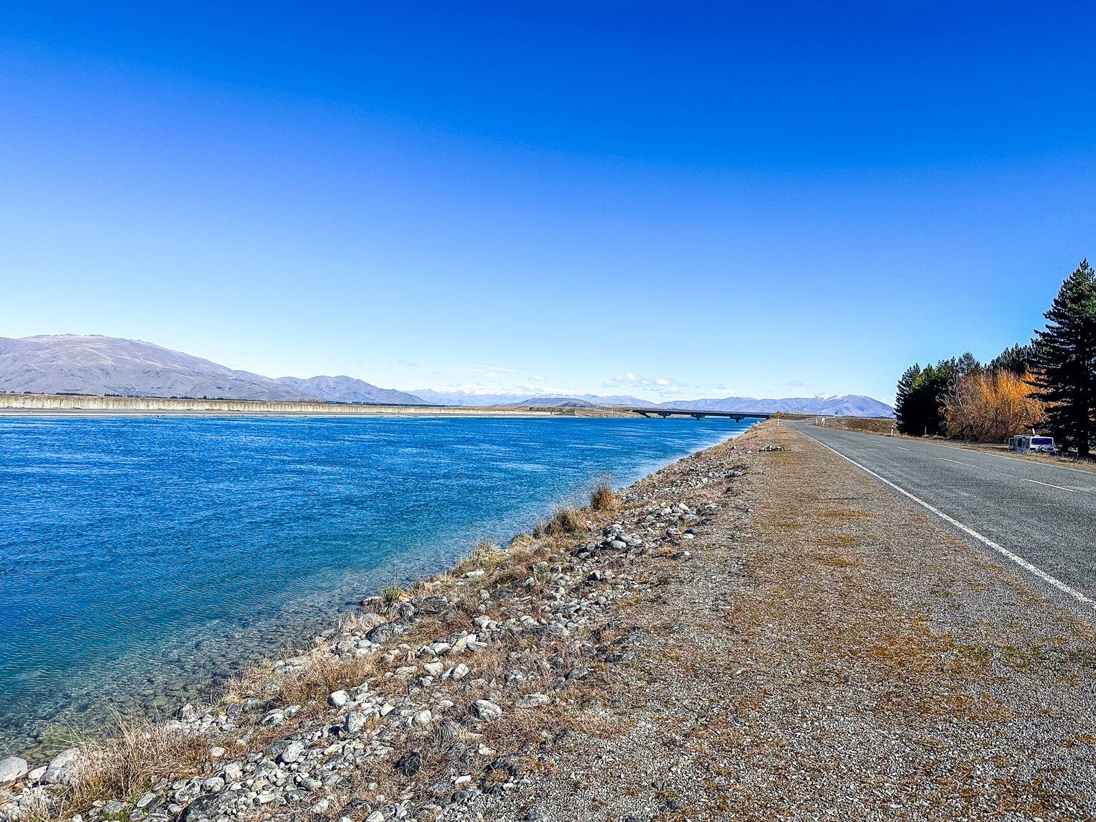
The Lake is also a part of the Mackenzie Basin hydroelectric scheme and the construction of the Pukaki Dam raised the water level. Most of the water flows to the Pukaki Canal which links with the Ohau Canal and feeds Lake Ruataniwha and then Lake Benmore. State Highway 8 crosses dams at the south end of the lake and you can access views of the dam and the canal from the highway.
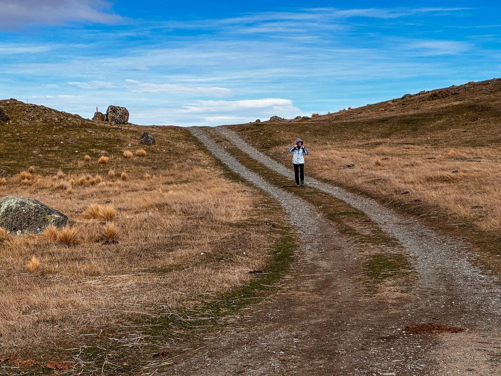
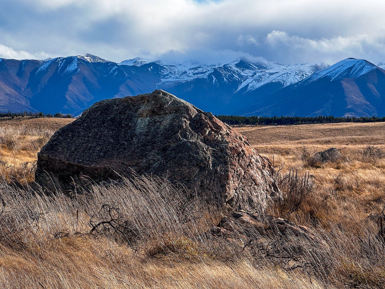
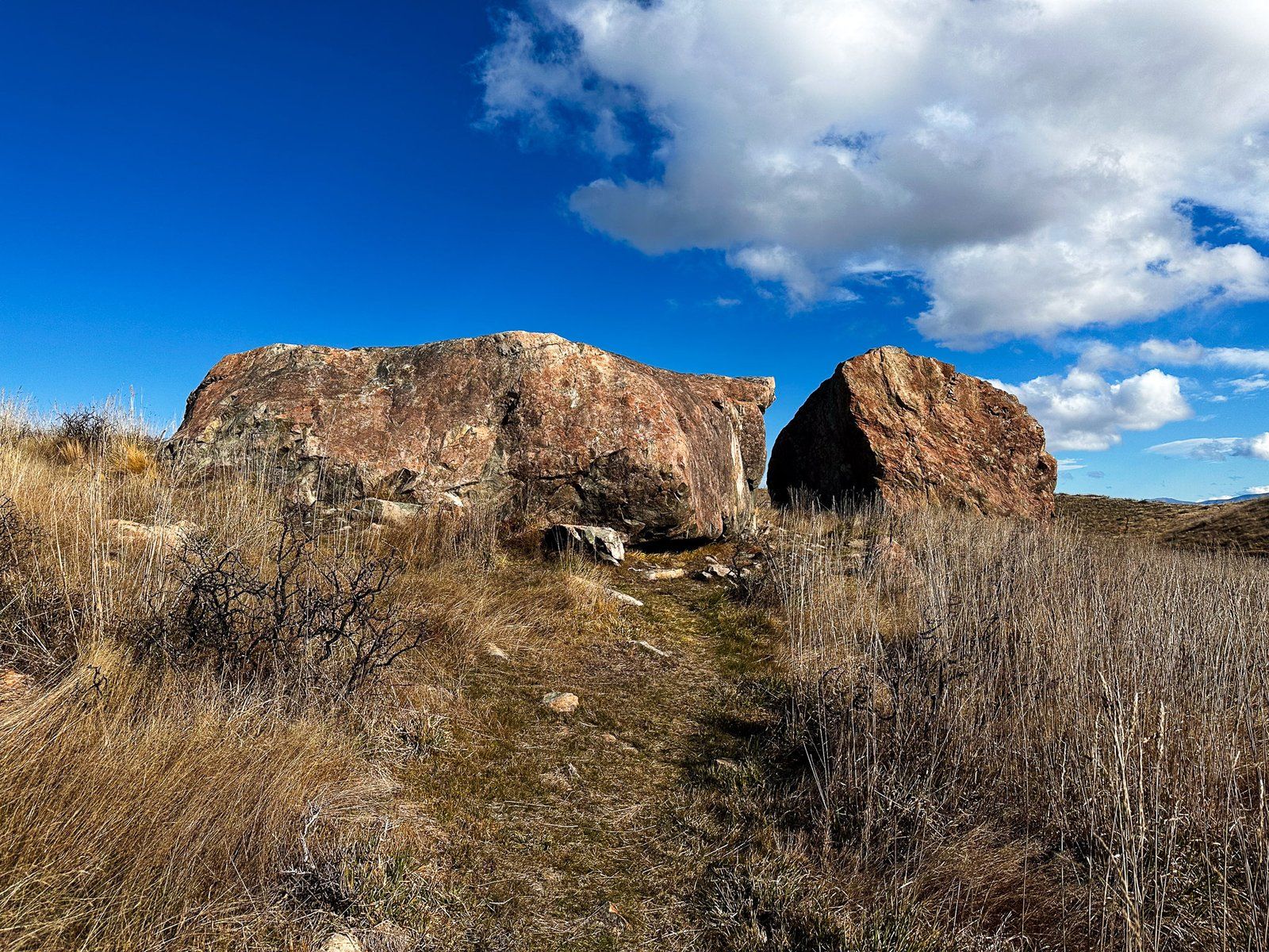
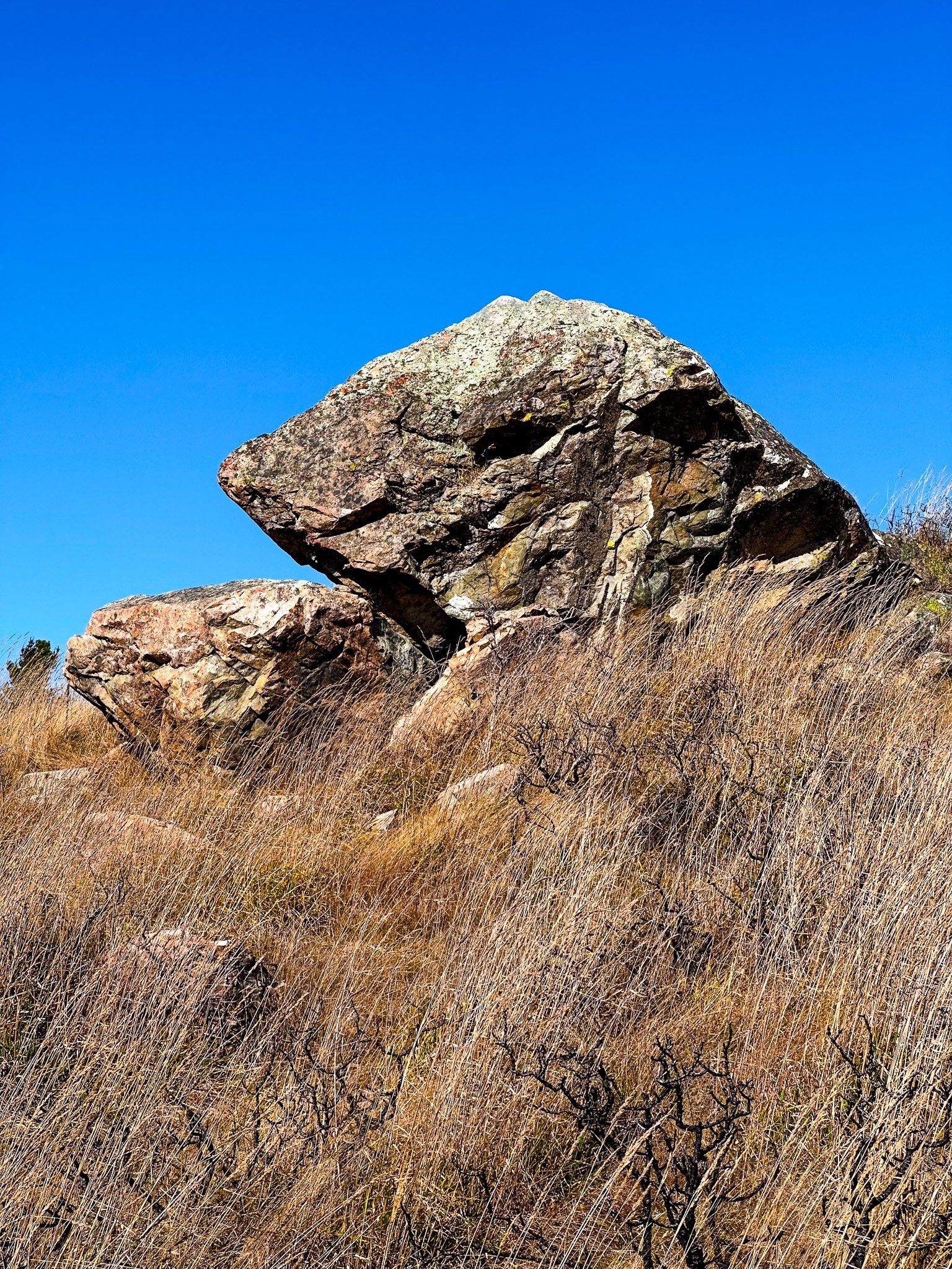
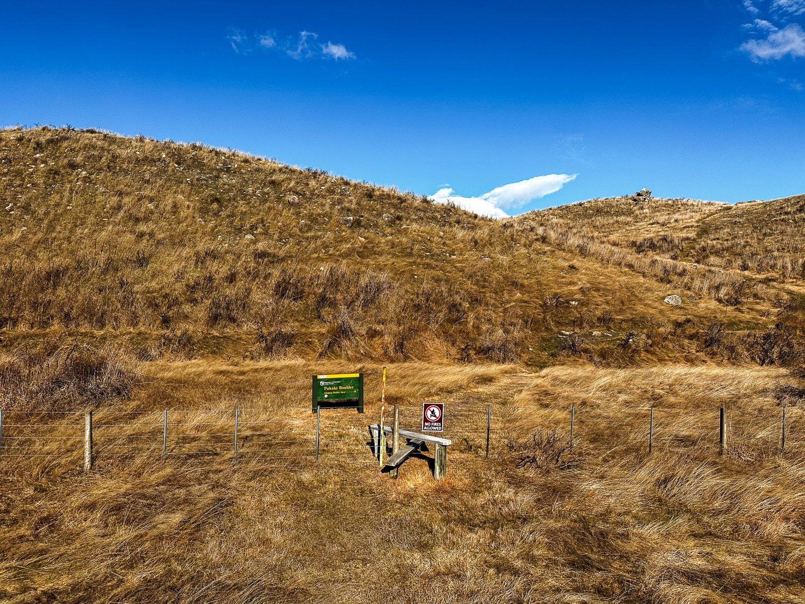
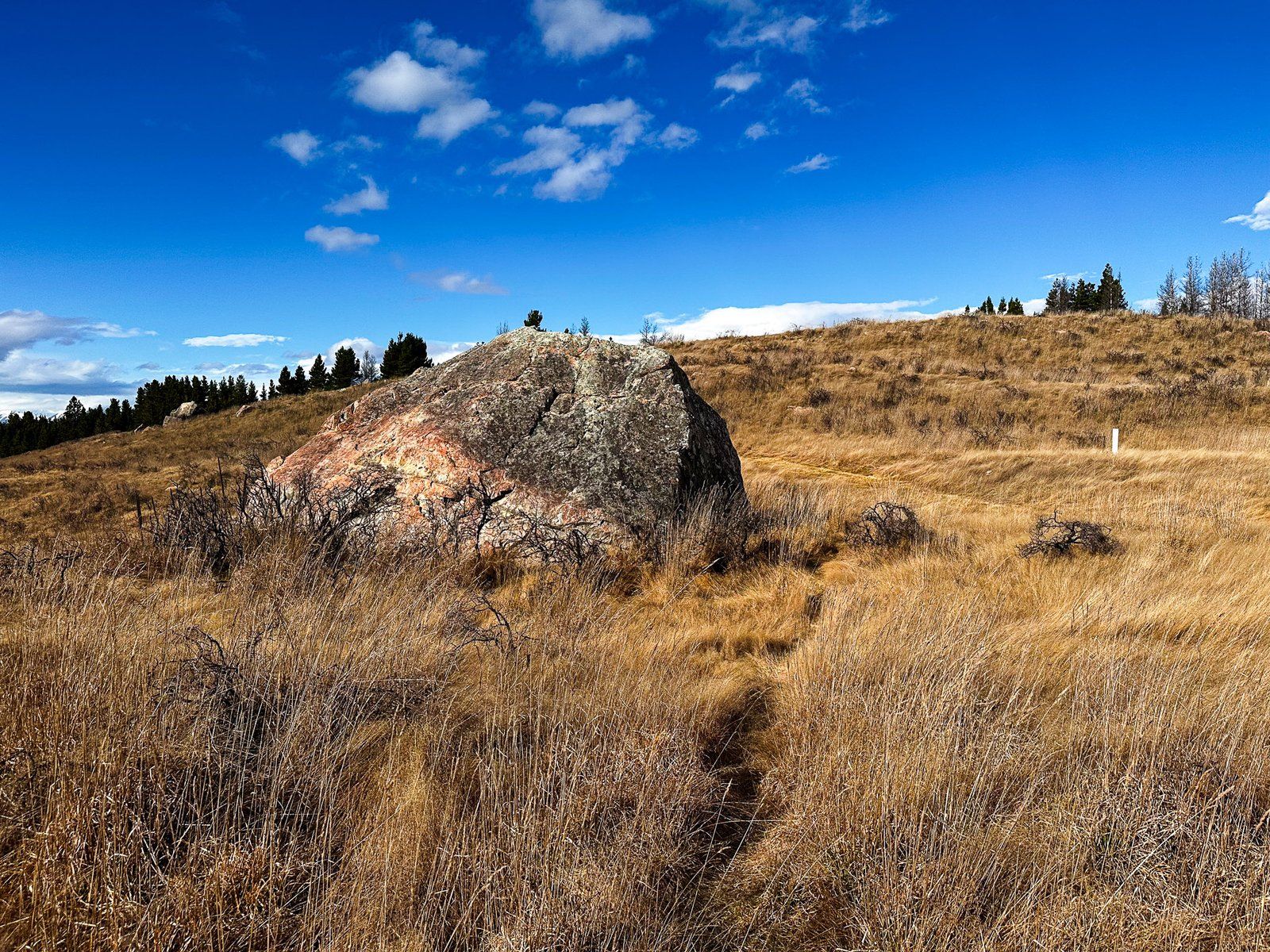
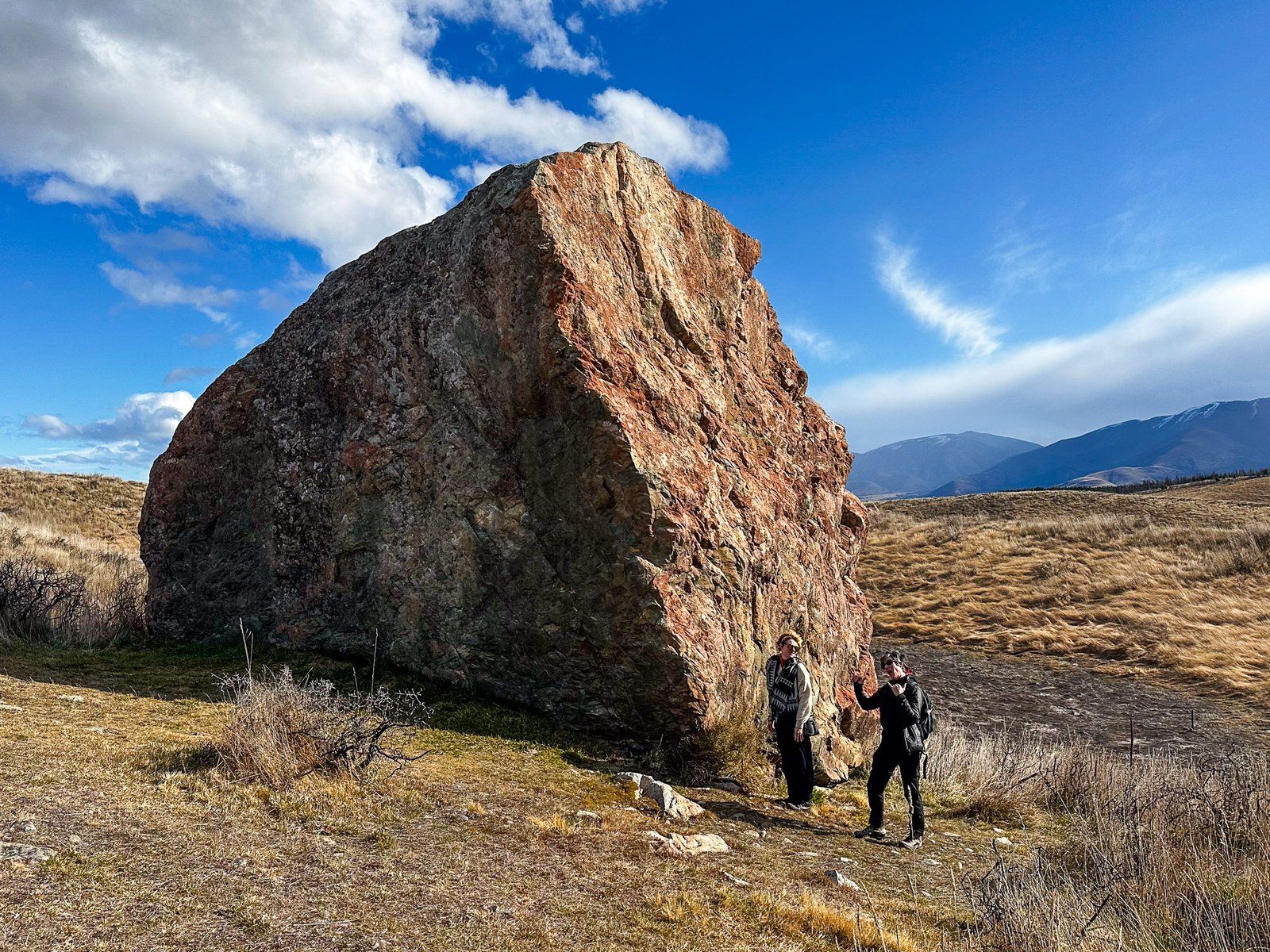
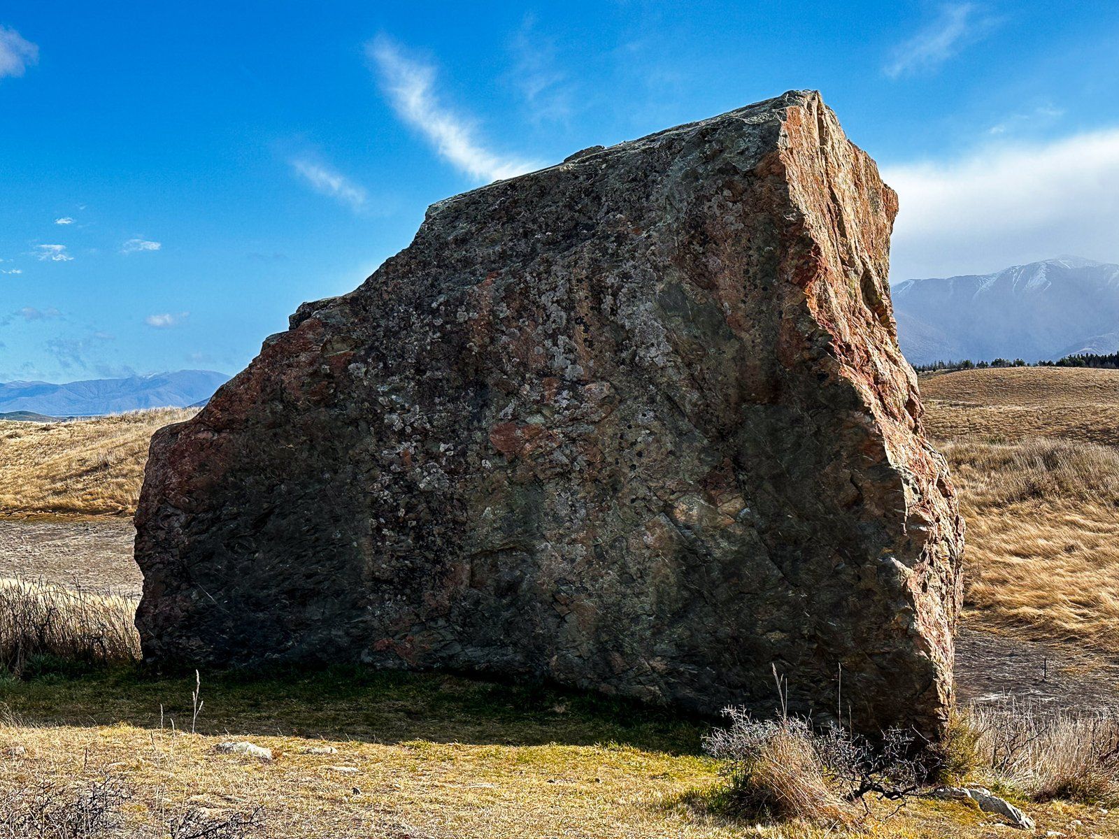
Pukaki Boulders
The Pukaki Boulders Track is a short, moderately steep, 200 metre walk to two large boulders on the edge of Lake Pukaki, one of which is popular for bouldering. The other is a nice place to hang out with views across the golden tussock to the Ben Ohau Range on the west side of Lake Pukaki.
The boulders were deposited by the Tasman Glacier over 10,000 years ago and are particularly prominent as you walk up the track. They indicate the power of the ice in its ability to move large heavy masses from a rocky mountain to a completely obscure location, many kilometres from its source.
The track is located on the Lake Pukaki side of State Highway 80, about five km north of the State Highway 8 intersection.
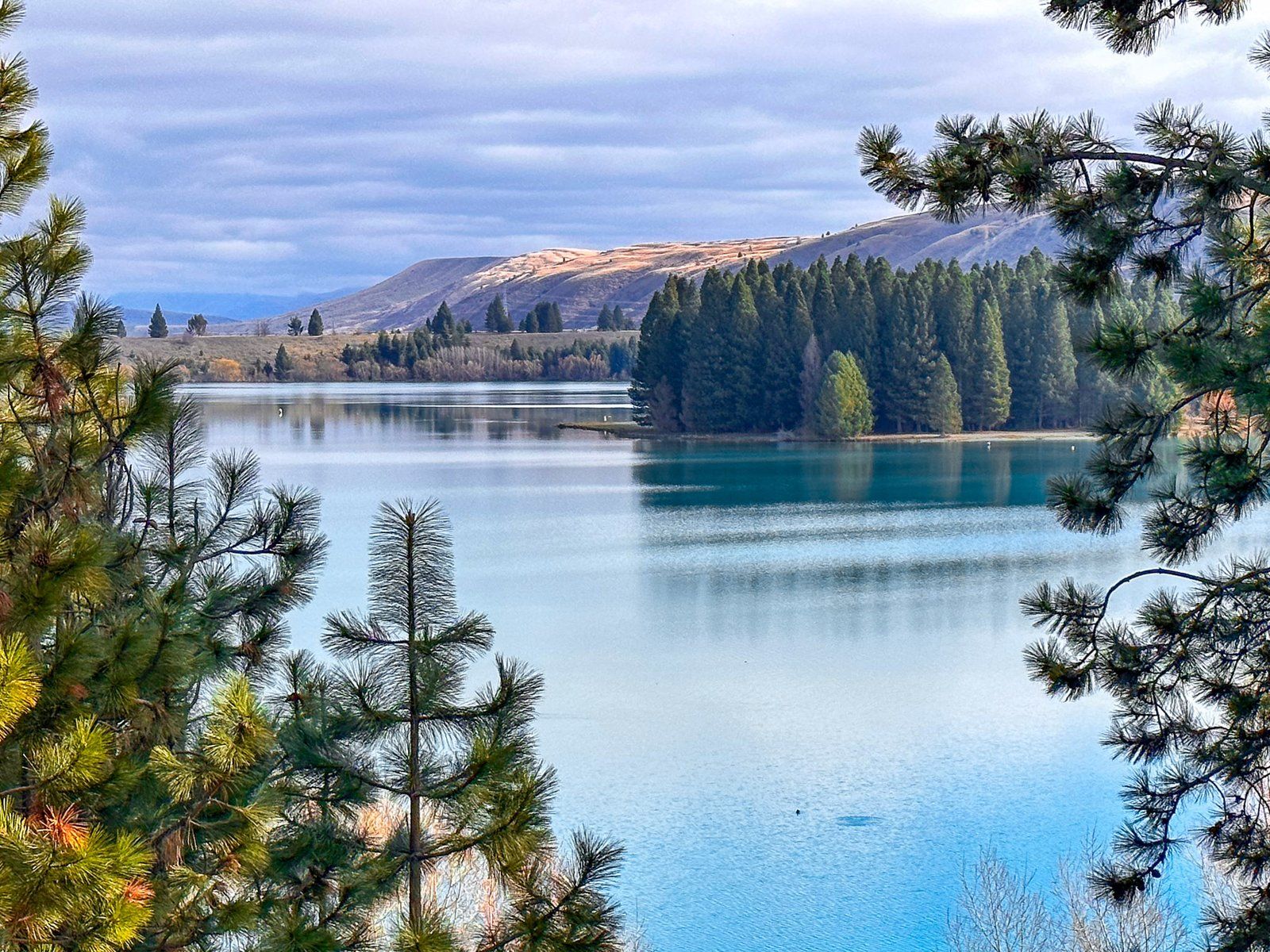
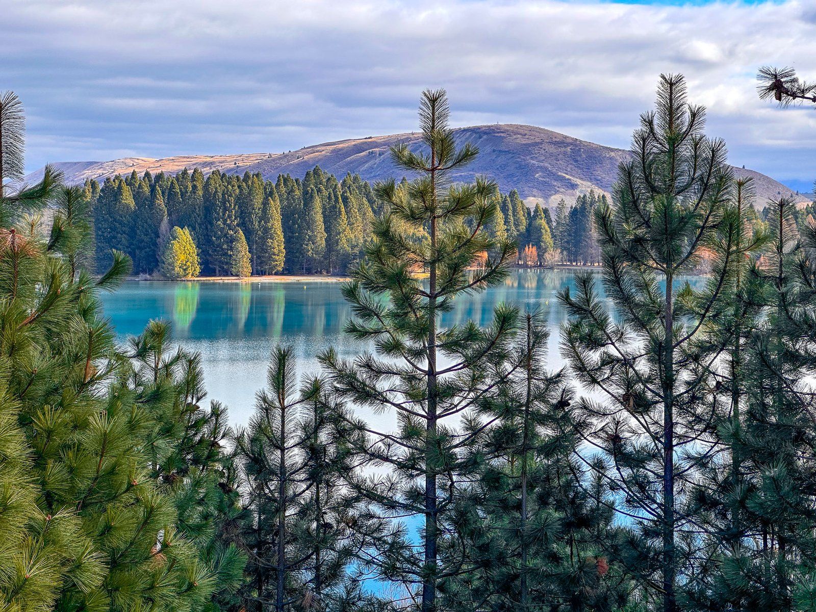
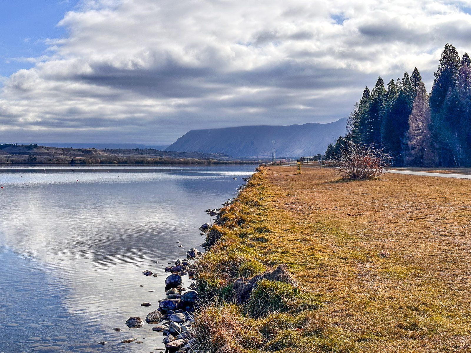
Lake Ruataniwha
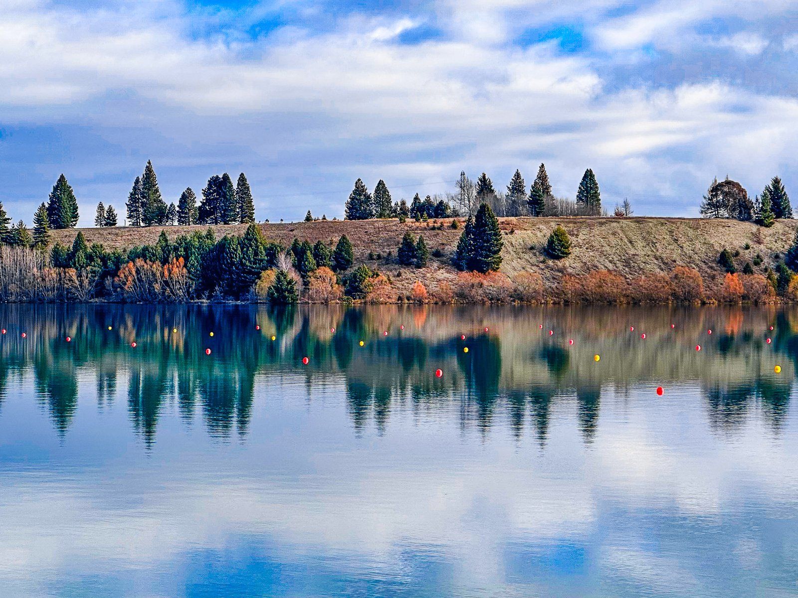
Lake Ruataniwha is a modest but picturesque man-made lake in Mackenzie Country, immediately southwest of Twizel. It was created by a dam on the Ohau River and filled in the late 1970s as part of the hydro scheme. The lake is mainly fed by the Pukaki and Ohau Canals, and, in turn, it is mainly drained by a canal to Lake Benmore. State Highway 8 runs along the short east end of the lake, over the dam.
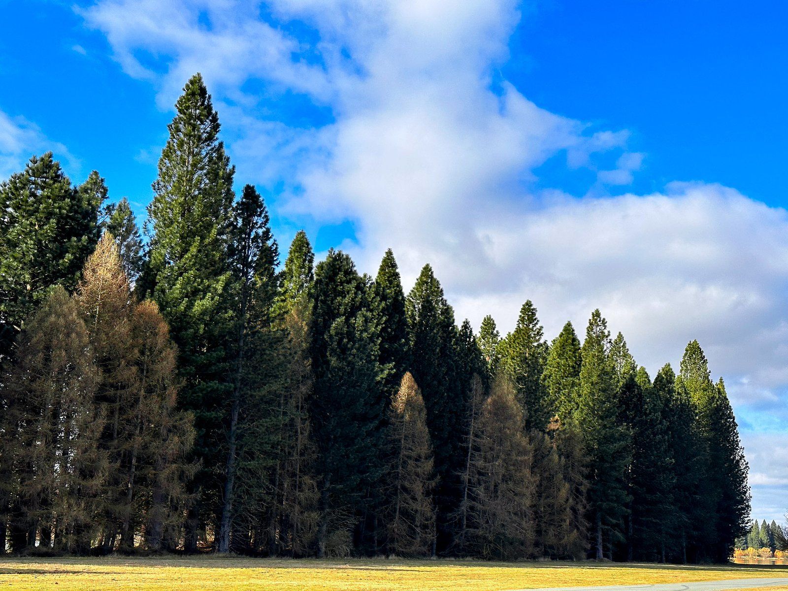
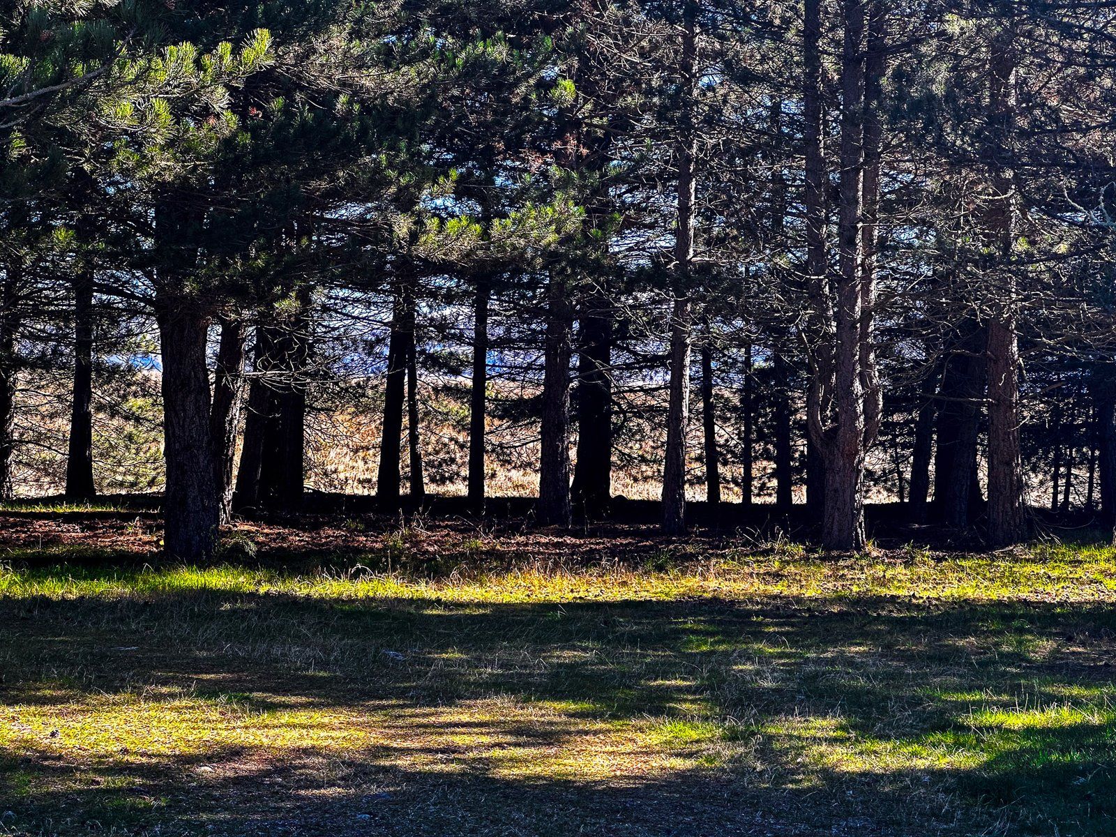
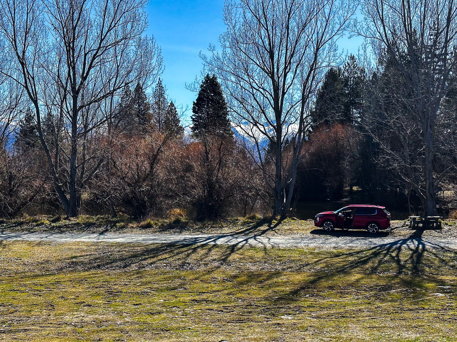
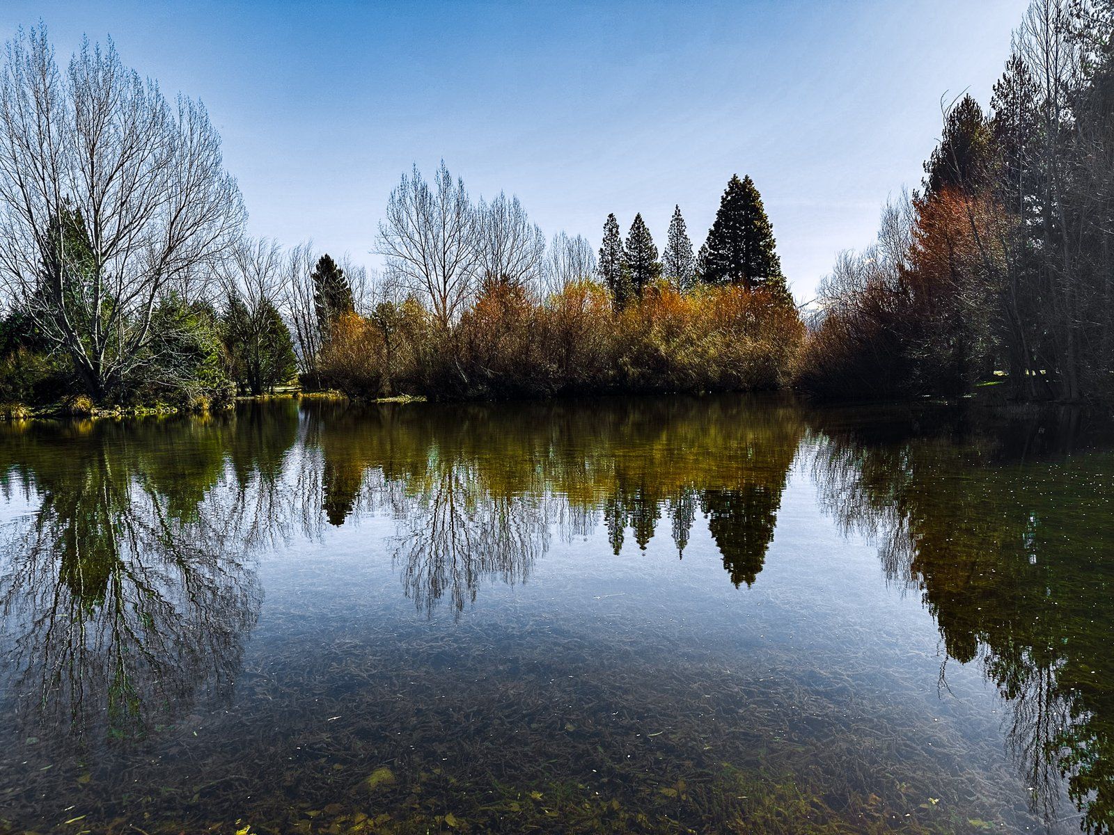
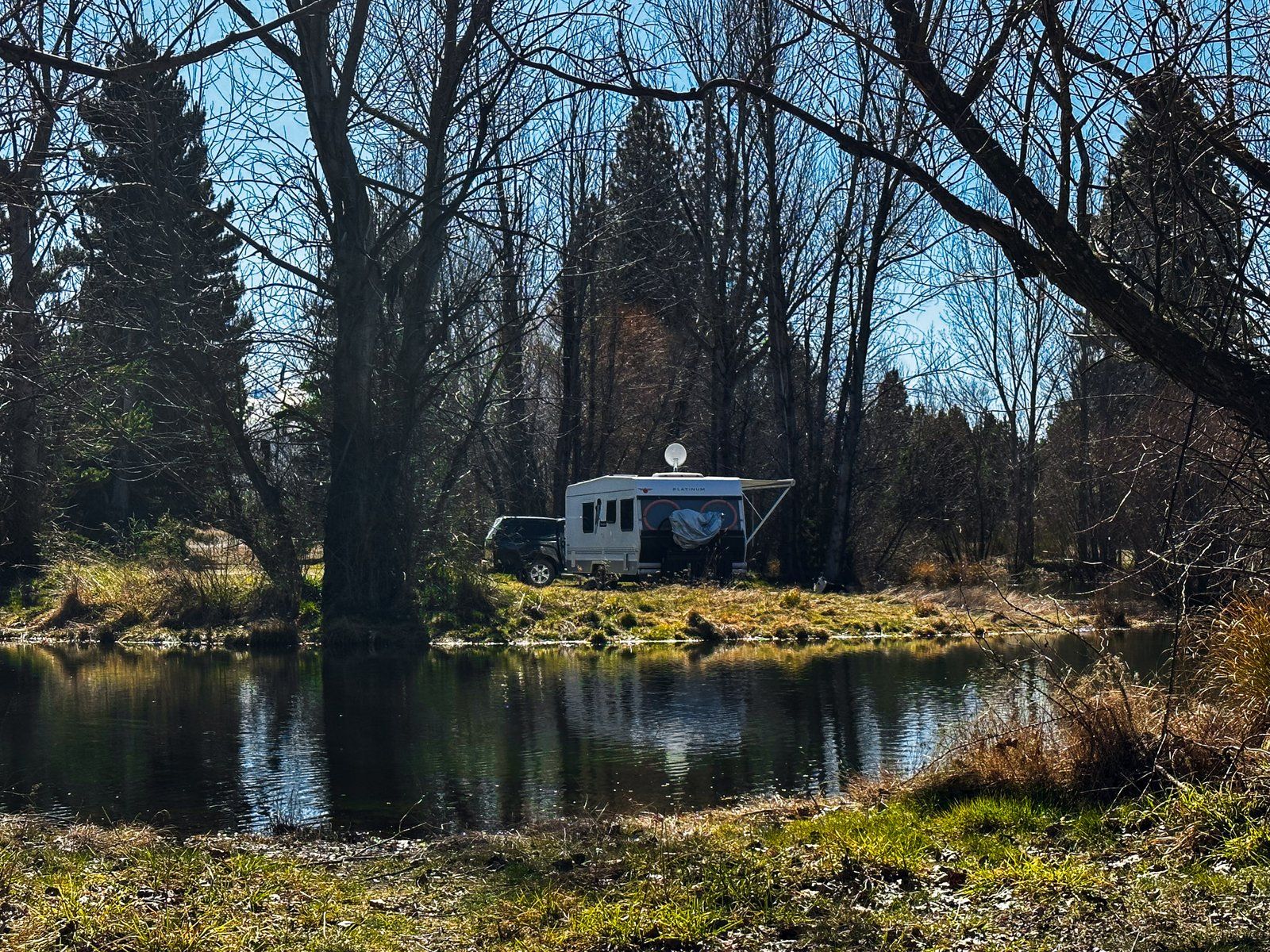
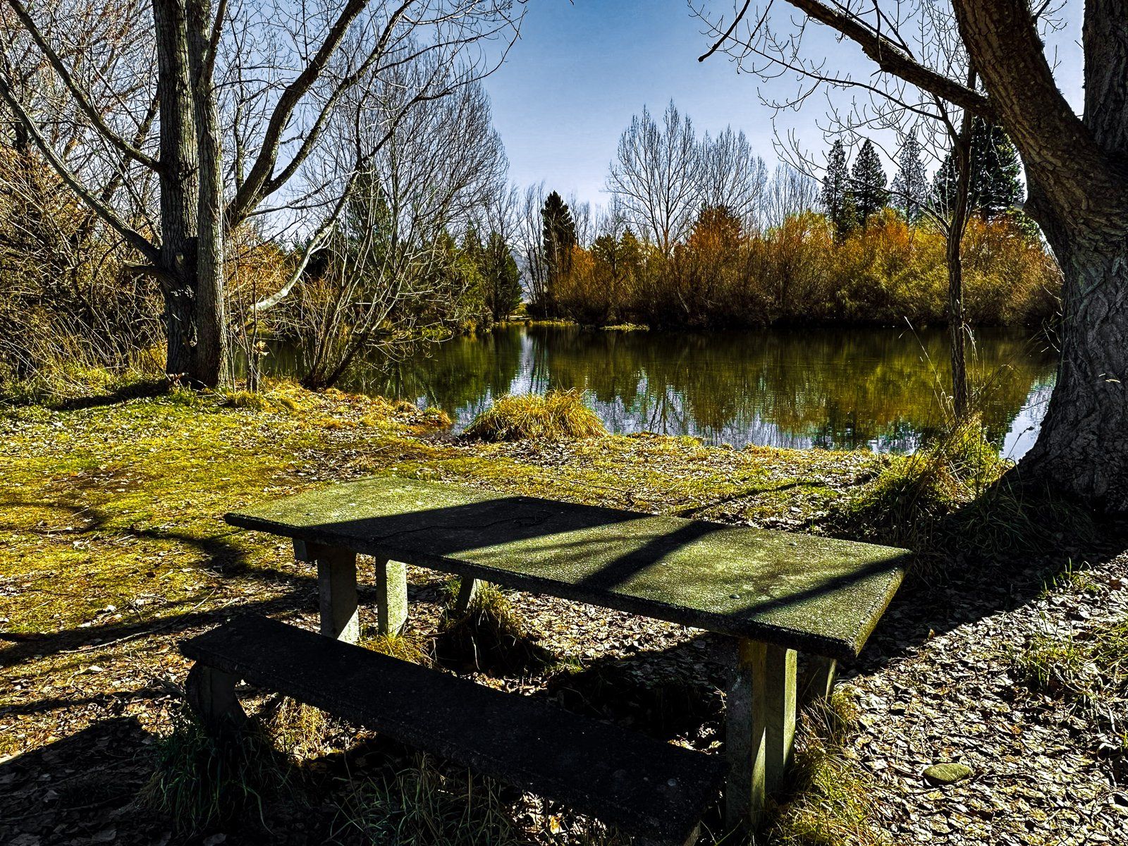
The lake has also become popular for recreation. There is a commercial campground on the east side of the lake, with a small forest of exotic trees that have proliferated since the lake’s creation. Ruataniwha is also one of two main centres for competitive rowing in NZ, the other being Lake Karapiro in the North Island’s Waikato. As the Lake has become more popular, so has Twizel, which has been expanding towards the Lake.
The easiest access to Lake Ruataniwha from State Highway 8 is along Max Smith Drive. This follows the north side of the Lake to the Ohau B power station at the head of the Lake. From this road, you can access the forest, commercial campground and a freedom campground to the west.
There is also a shared track that runs alongside Max Smith Drive and above the cliff at the northeast of the Lake. This provides excellent views across the Lake. The track drops down to the small forest, following the lake’s edge to Lakeside Road. Allow about two hours there and back on foot.
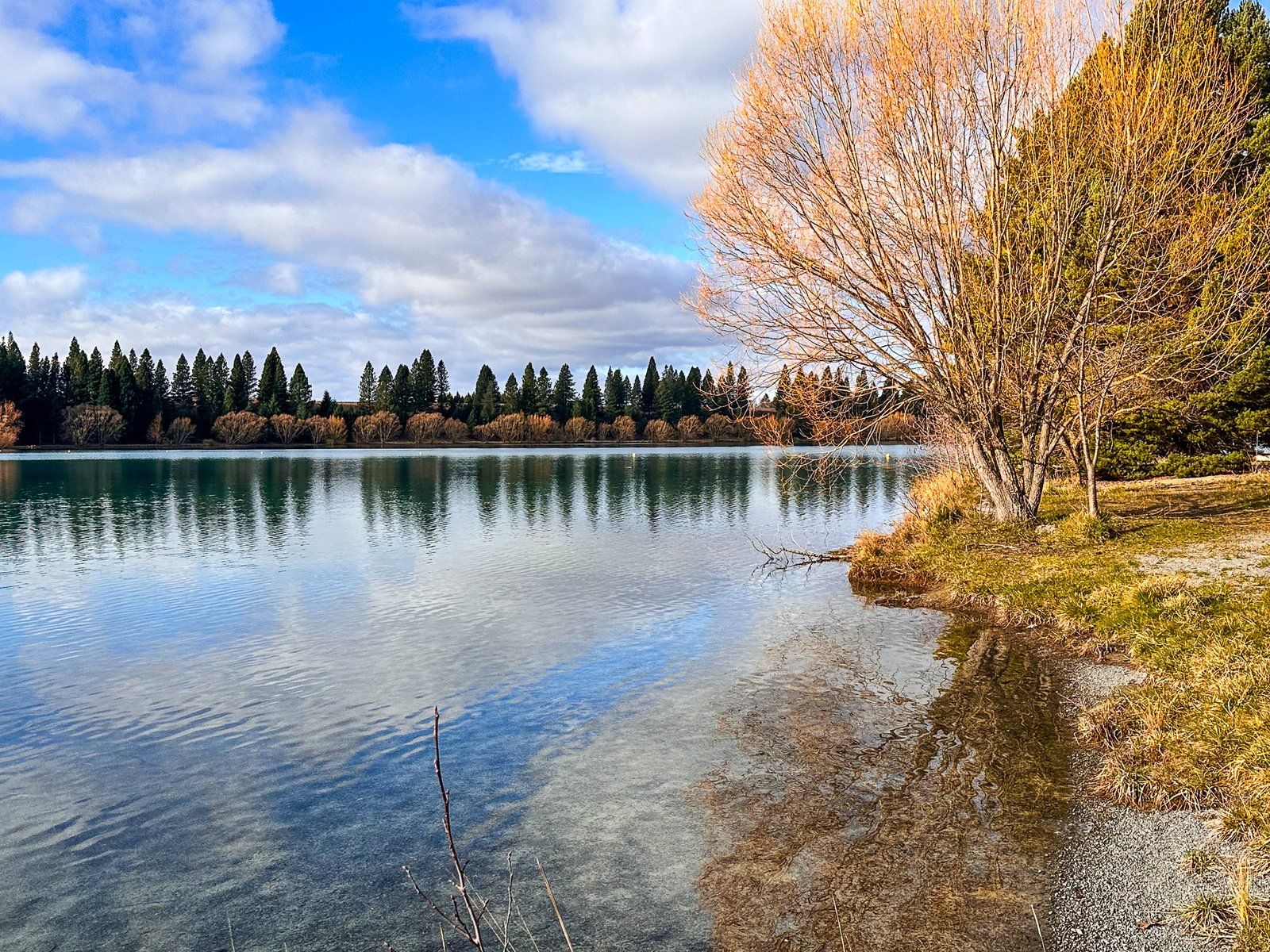
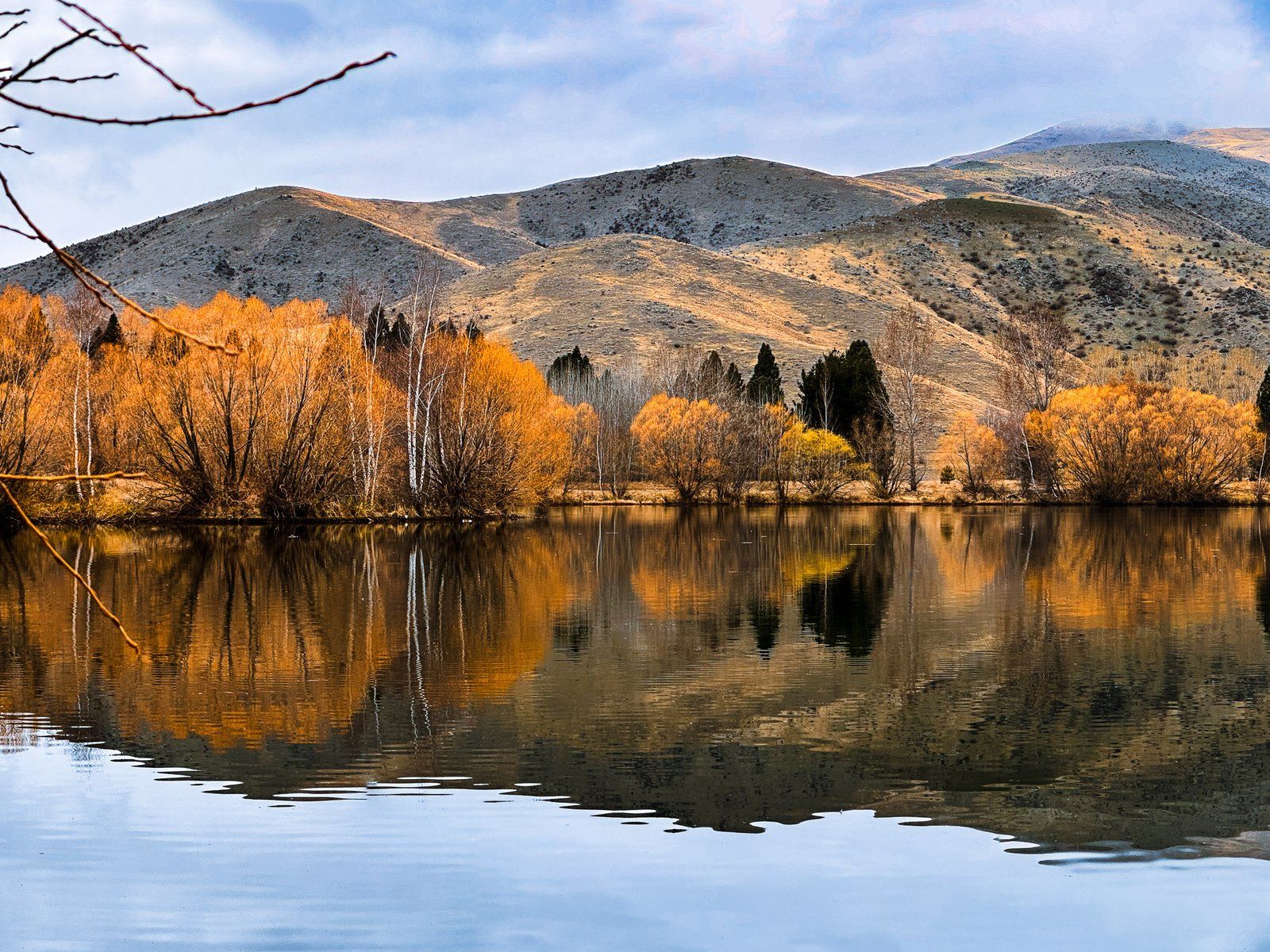
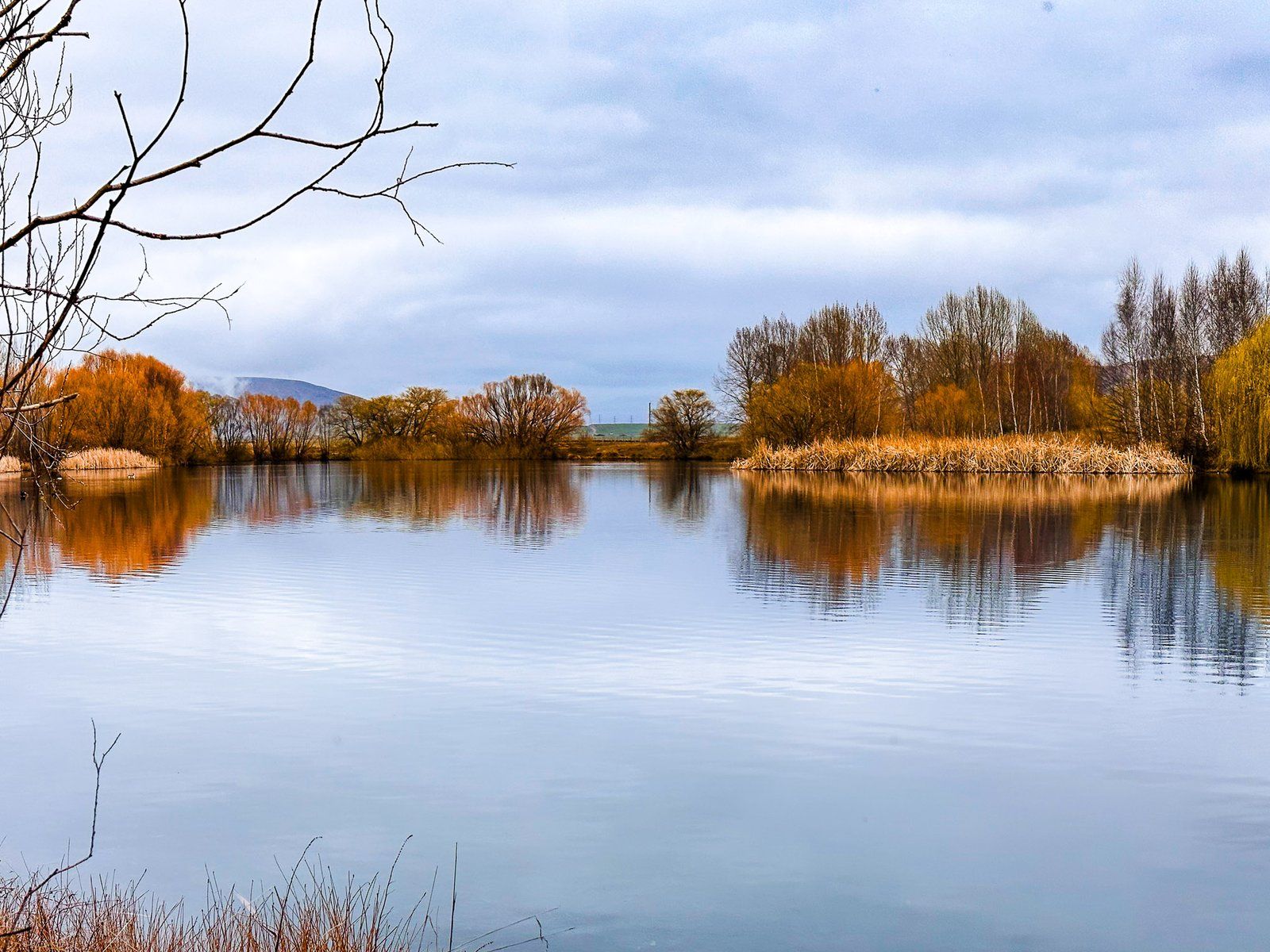
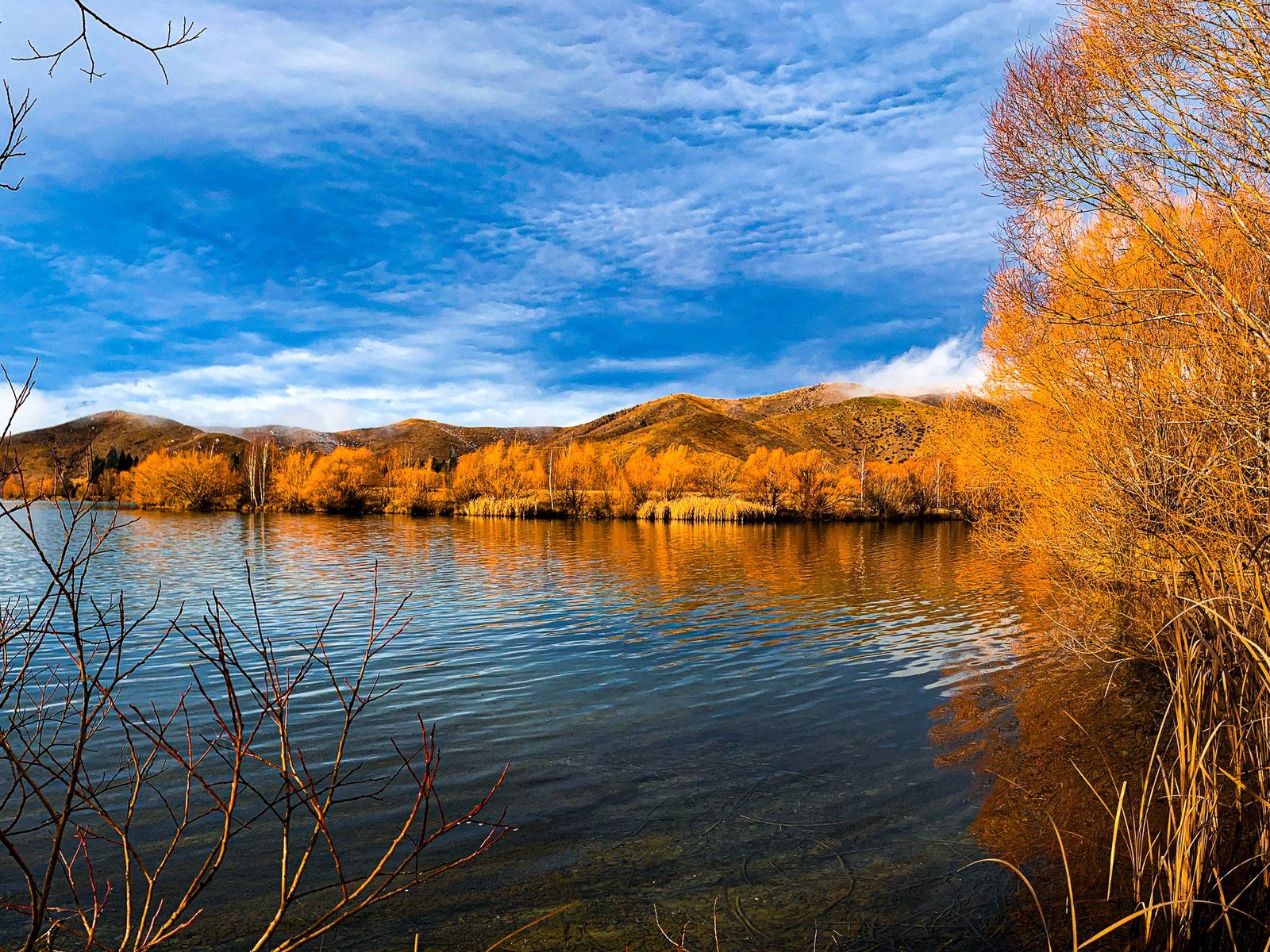
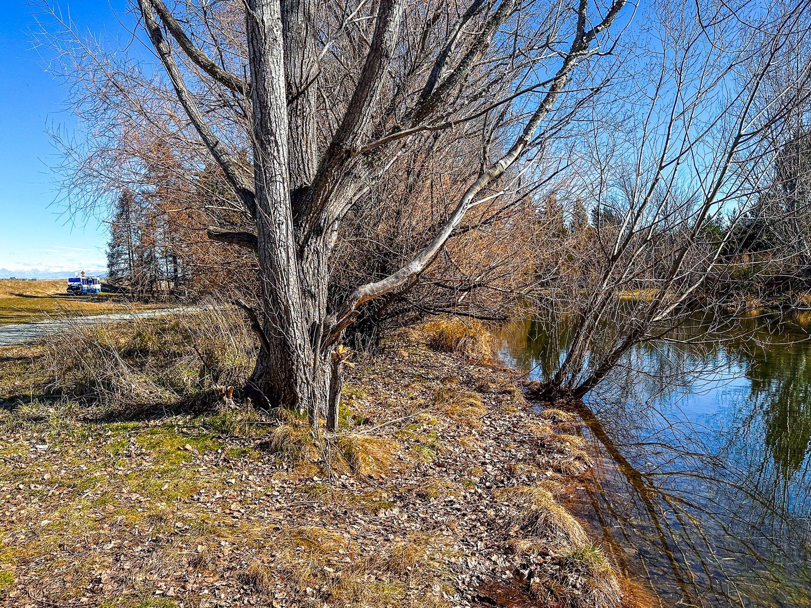
Wairepo Arm and Kellands Pond
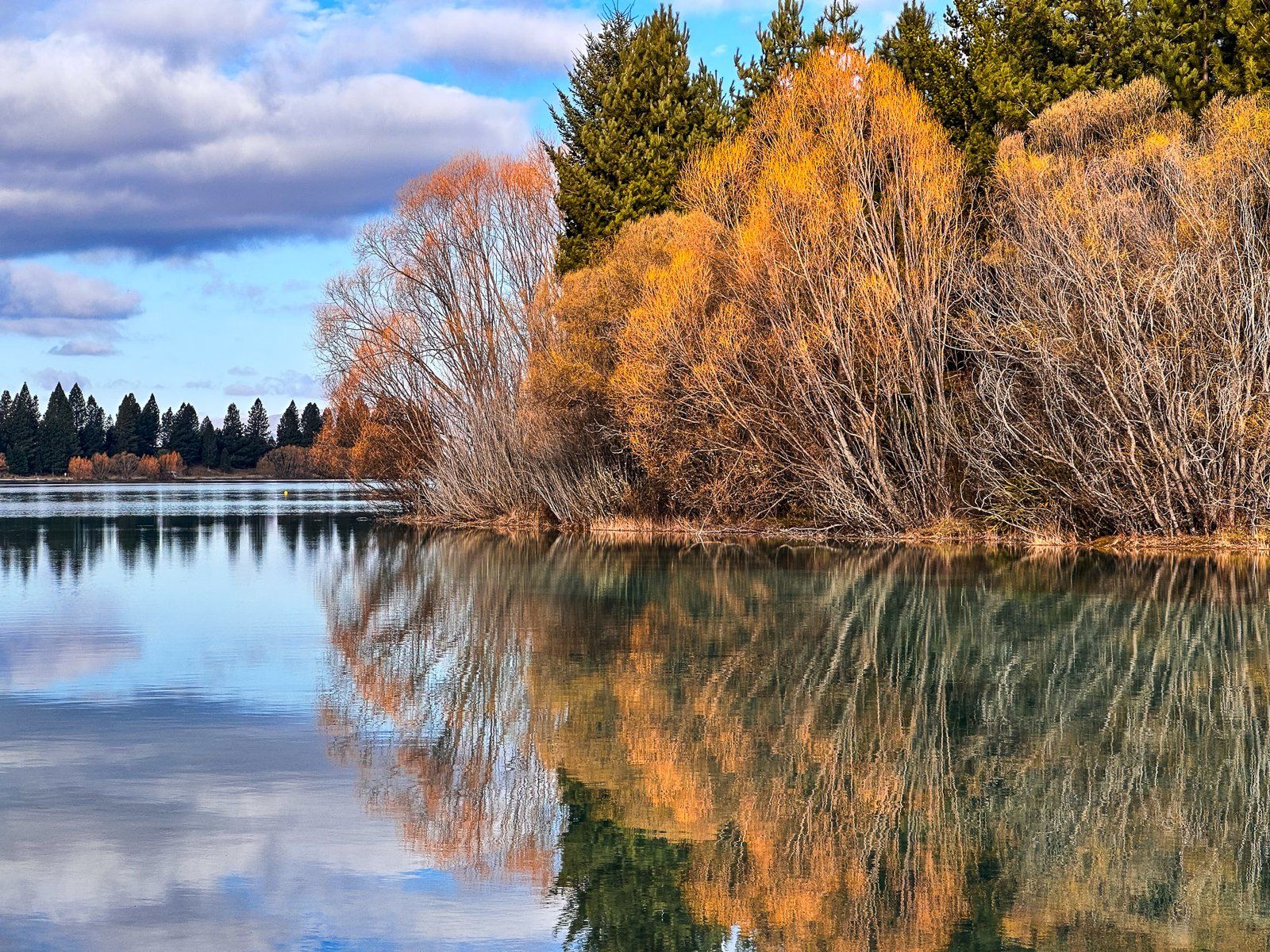
Wairepo Arm is a discrete arm of man-made Lake Ruataniwha. Its name comes from a stream that flows into the arm from the south end of the Barrier Range near Lake Ohau. It is also part of the Mackenzie Basin hydropower scheme with a canal at the north end of the arm linking the arm to Lake Benmore.
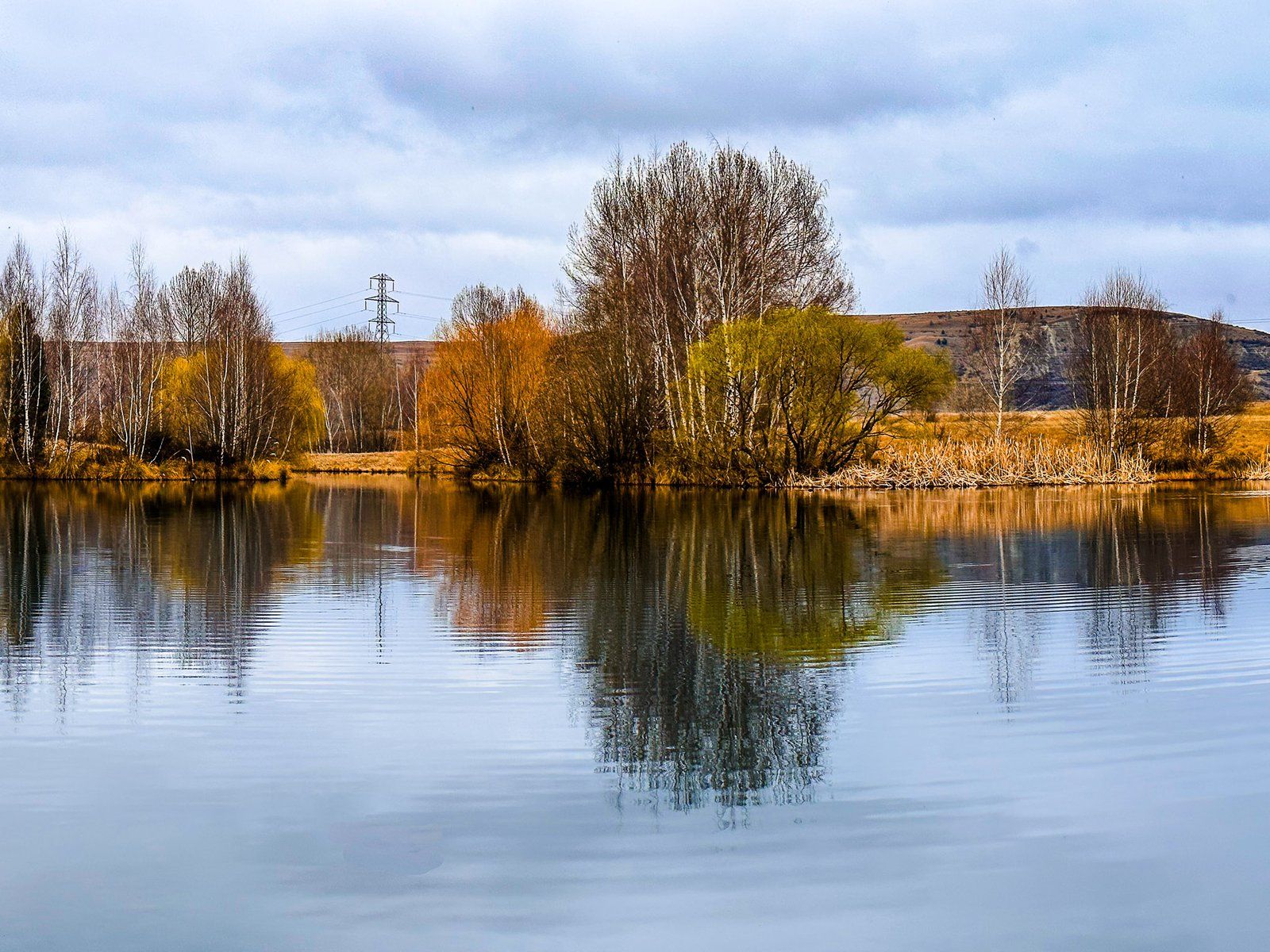
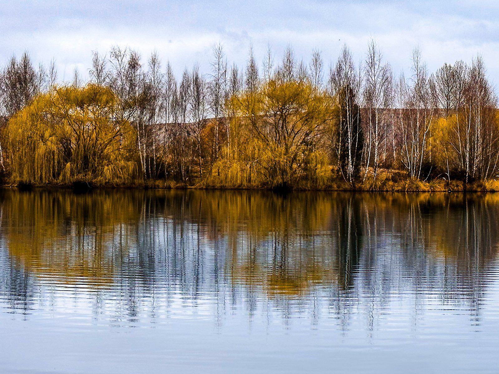
The arm is at the south end of the lake and on the eastside of State Highway 8. Kellands Pond also connects to the arm and is on the west side of the highway. Both are lined by willow trees that are picturesque at any time of the year, with vibrant greens in spring and bright oranges through autumn and winter. There is plenty of room to safely stop on either side of the road, then a short walk to the edge of the lake and pond.
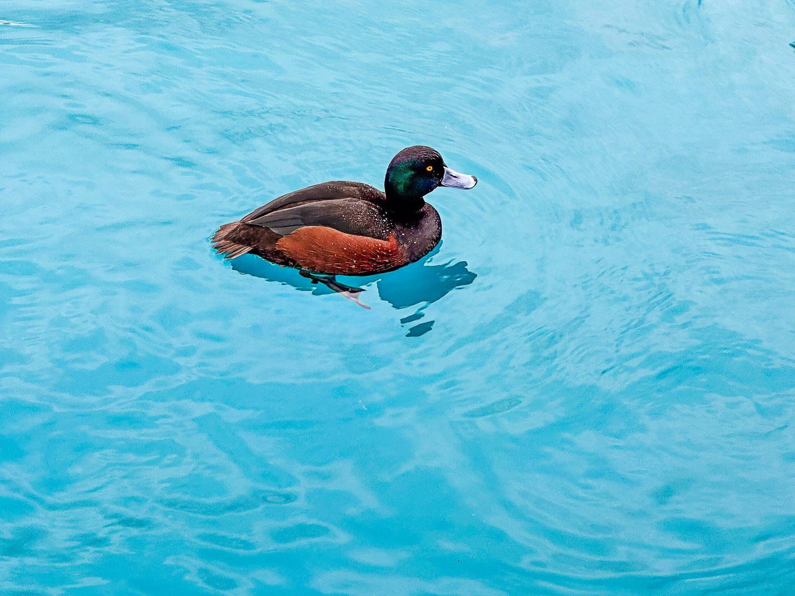
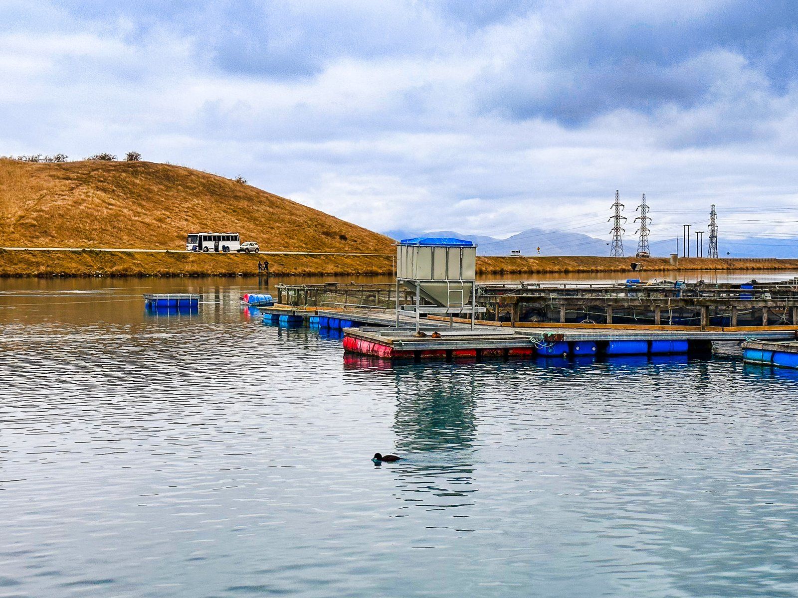
At the north end of the arm, there is a very popular stop and cafe at High Country Salmon. There, you can see one of many working salmon farms around the canals of the Mackenzie Country. There is also a campsite for campervans on the north side of the arm and canal, accessed from State Highway 8.
Lake Wardell
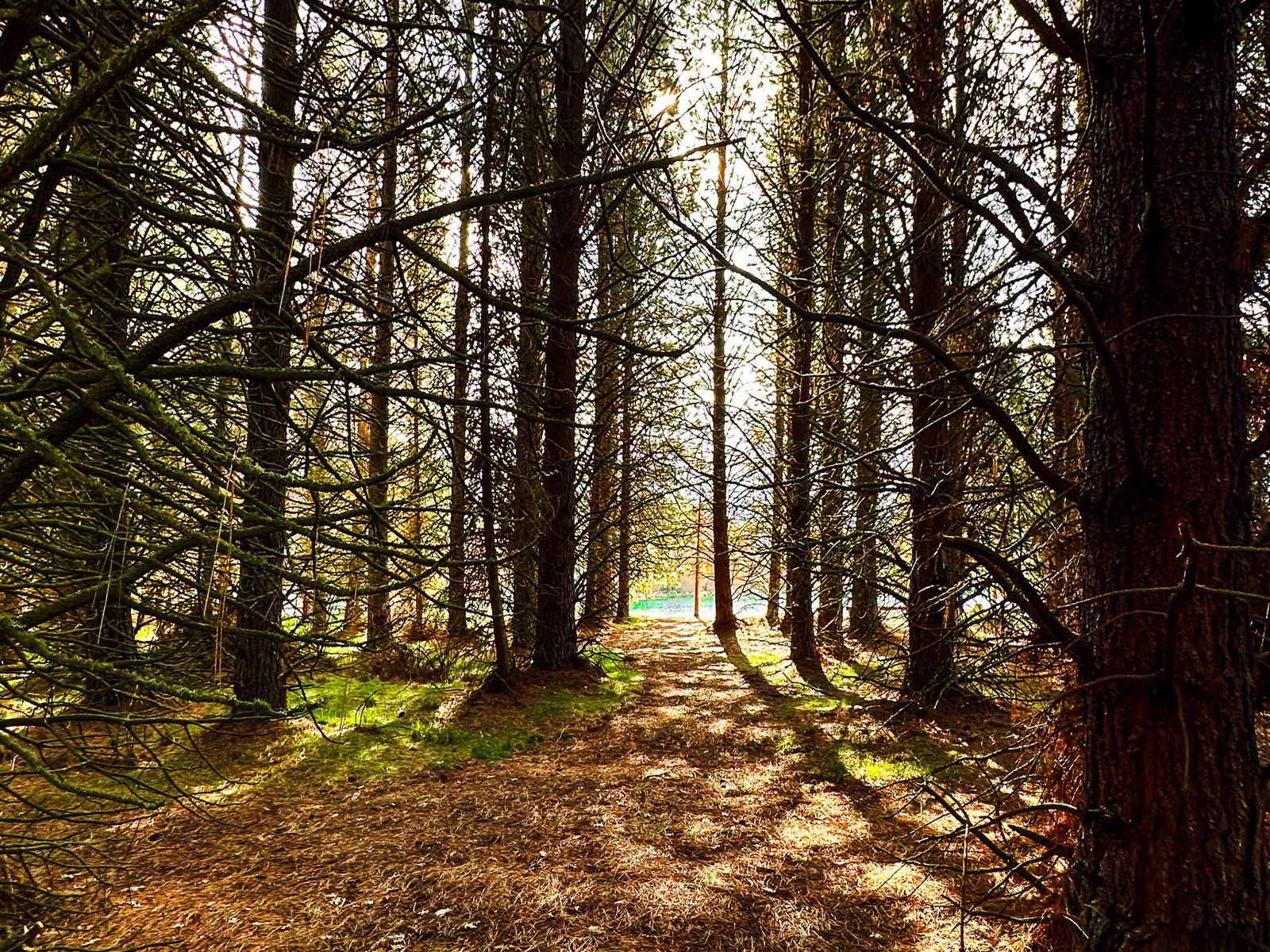
Lake Wardell is a small lake with a freedom campsite amongst pine trees two km along State Highway 8 southwest from Lake Pukaki. There is a signpost, but it is easy to overlook.
The site is quite pretty and also borders the Pukaki Canal. From the canal, you can also easily access Pukaki Flats, a popular and easy section of the Alps2Ocean Cycle Trail that links Lake Pukaki to Twizel.
A little further southwest of Lake Wardell, accessed from the Pukaki Canal road, is Lake Poaka and campsite.
Want more remote Trip Ideas around Mackenzie Country?
Check out our blog series Remote Drives in Beautiful Canterbury: Lake Ohau and Hopkins Valley and Ahuriri Valley.