Discover the Lower Moeraki River Walk
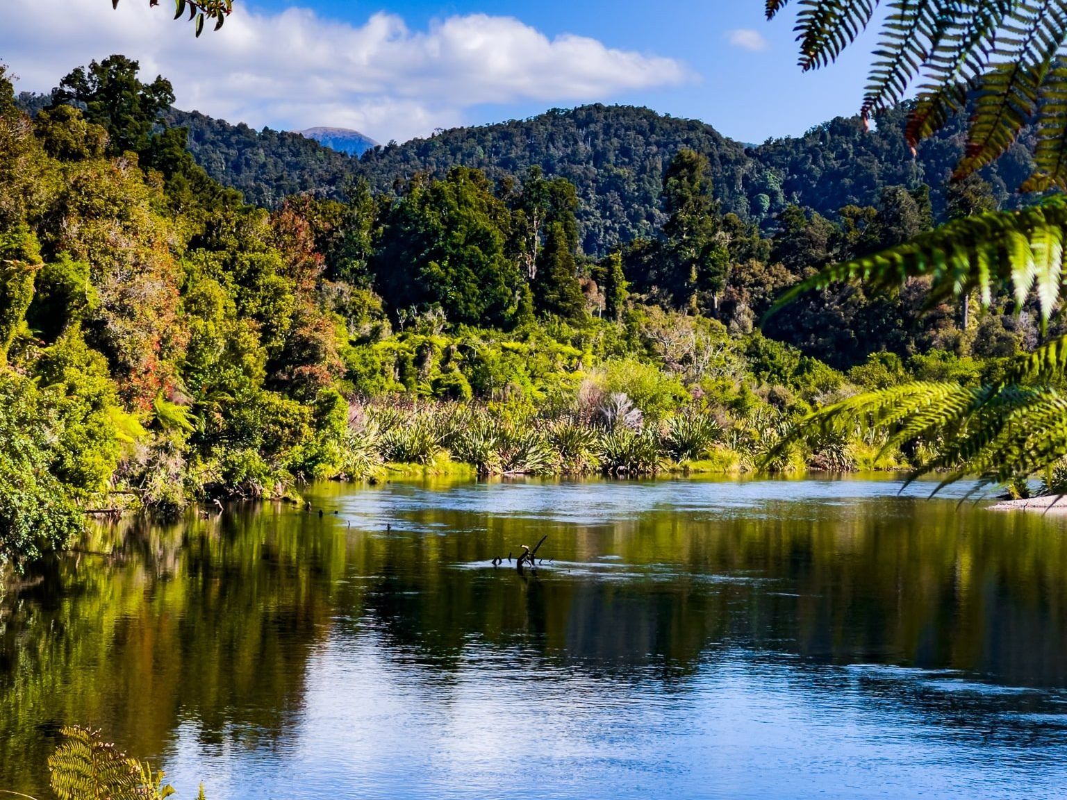
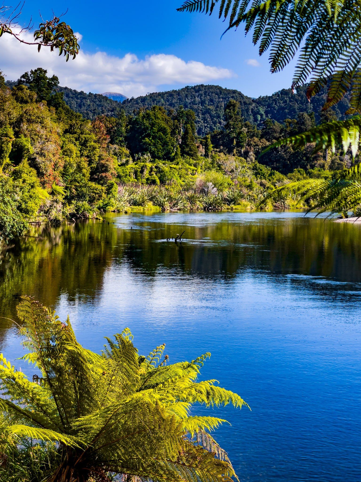
Located on the West Coast of New Zealand's South Island, the Lower Moeraki River Walk is a unique experience for nature enthusiasts. This loop track, accessible from the whitebaiters’ 4WD access road, provides diverse flora, with several points of interest along the way. Although the northern end of the track is easy to follow, the southern end can be somewhat obscure, adding an element of adventure to your walk.
Points of Interest Along the Track
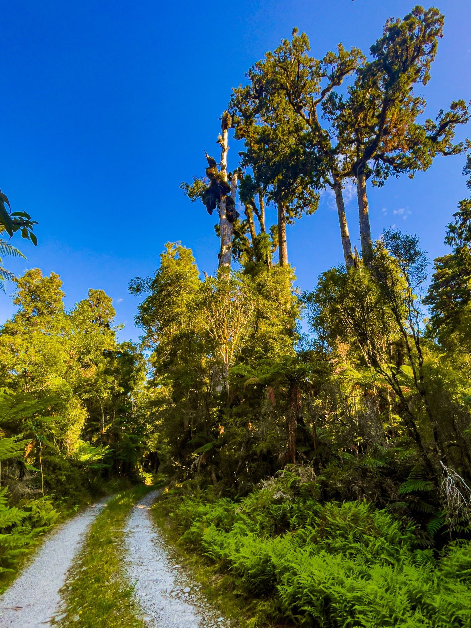
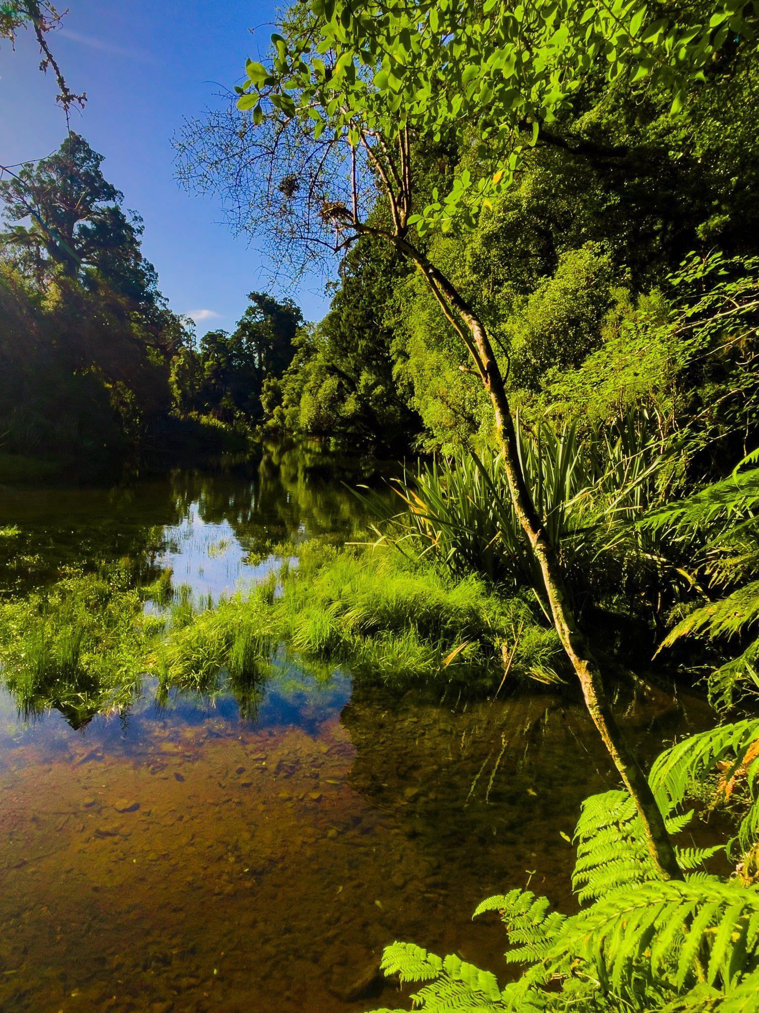
The walk begins at the Monro Beach Walk parking area. Follow the Monro Beach Walk track and 4WD road north, but keep going on the road beyond the turnoff to Monro Beach. At the end of the road, you'll find access to a lagoon connected by a stream to the Moeraki River. The track continues to the left, into the forest and follows the stream southwest to a private whitebait facility.
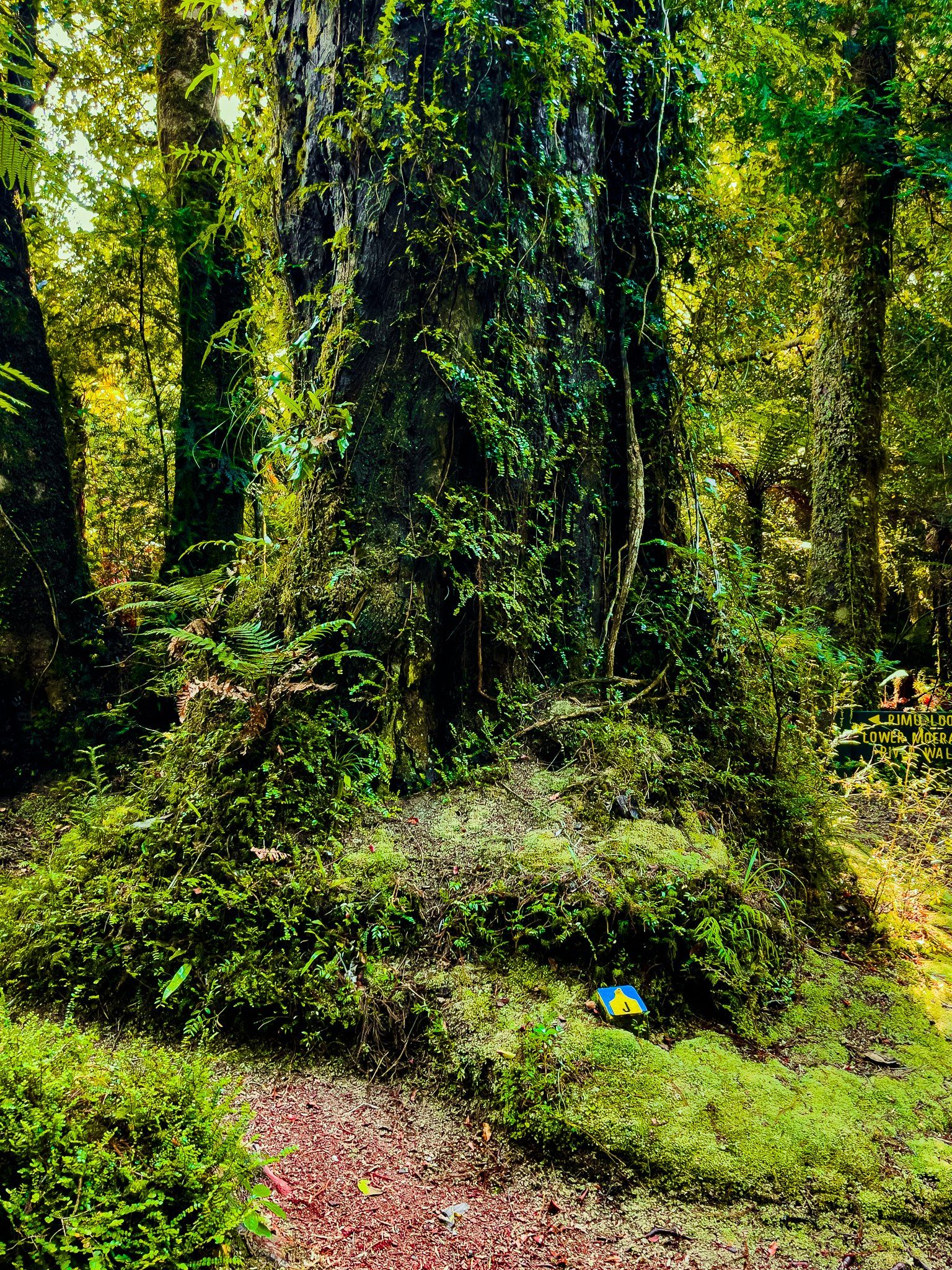
Once in the forest, you'll notice blue letter markers along the track. These are maintained by Wilderness Lodge Lake Moeraki to highlight interesting flora. Guests of the lodge can access guide notes that correspond to these markers.
Unique Flora and Scenic Views
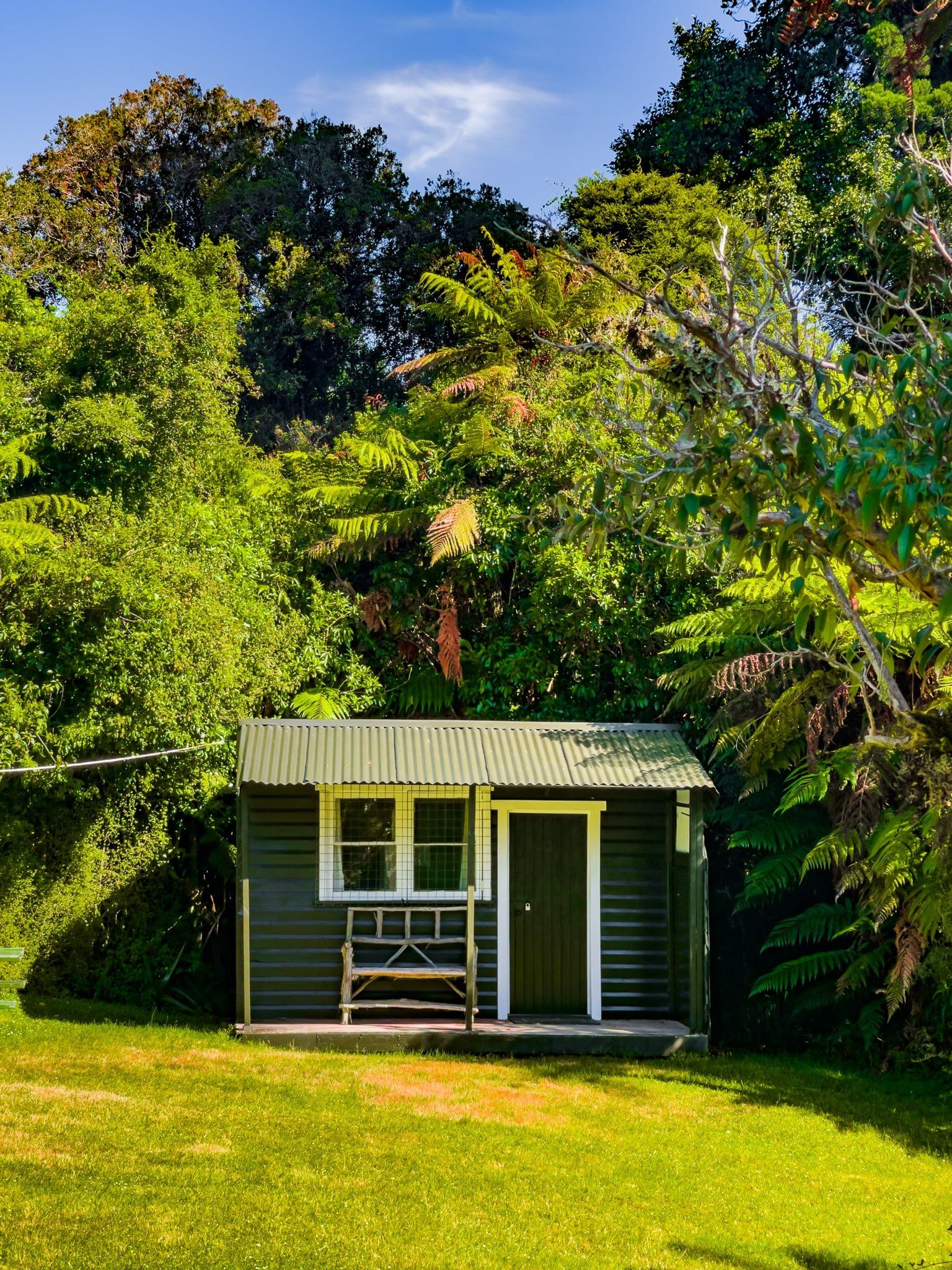
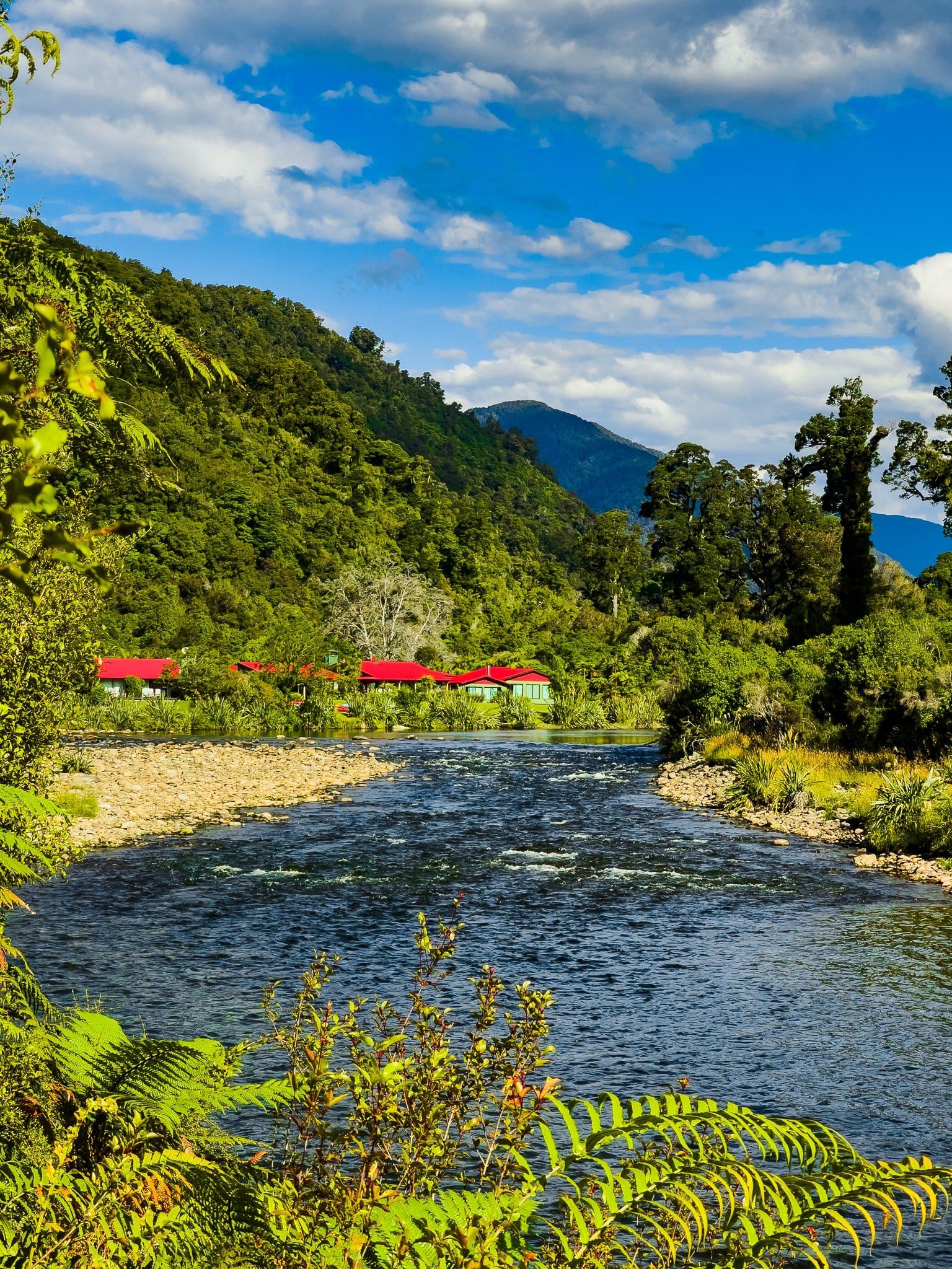
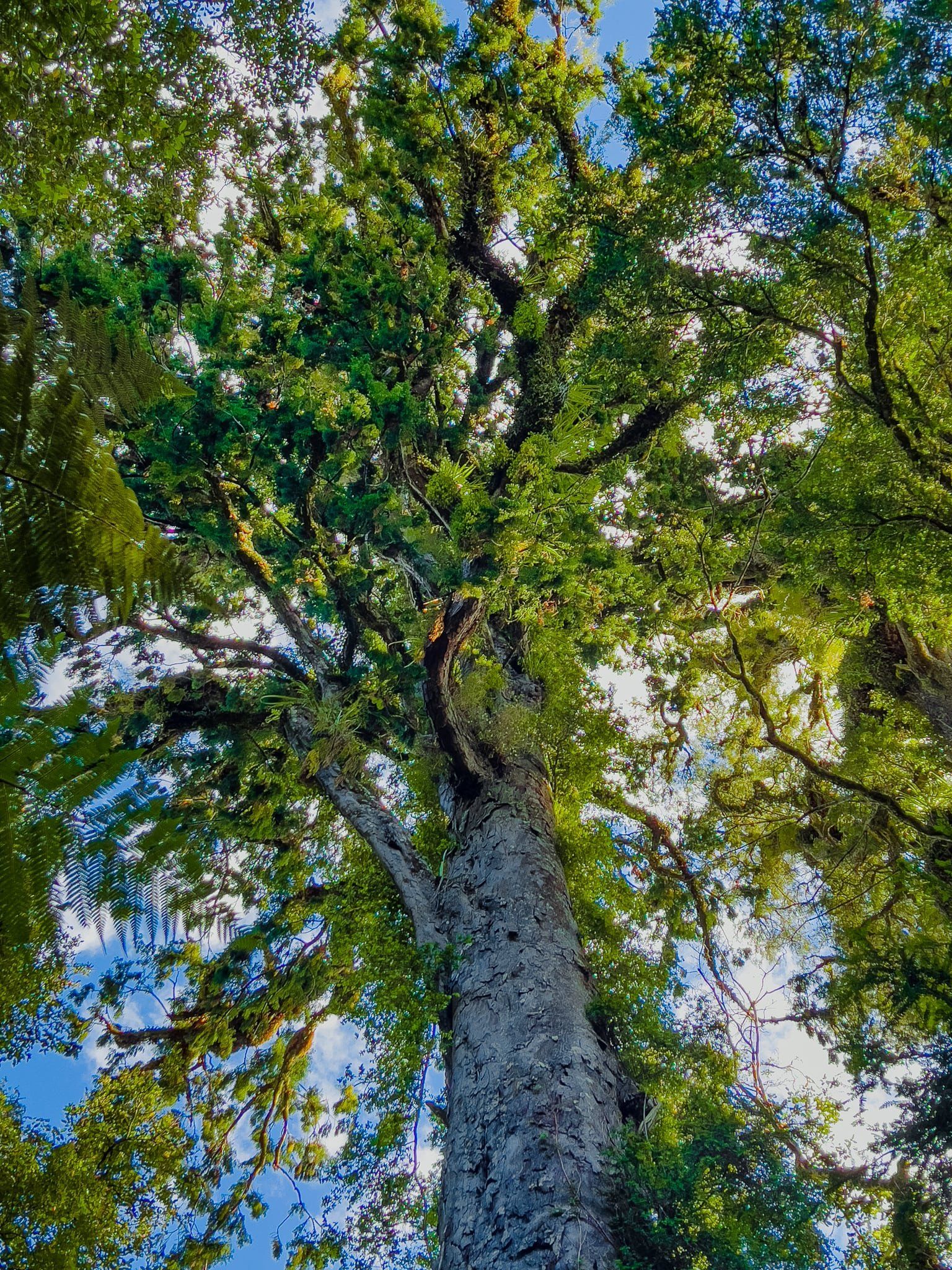
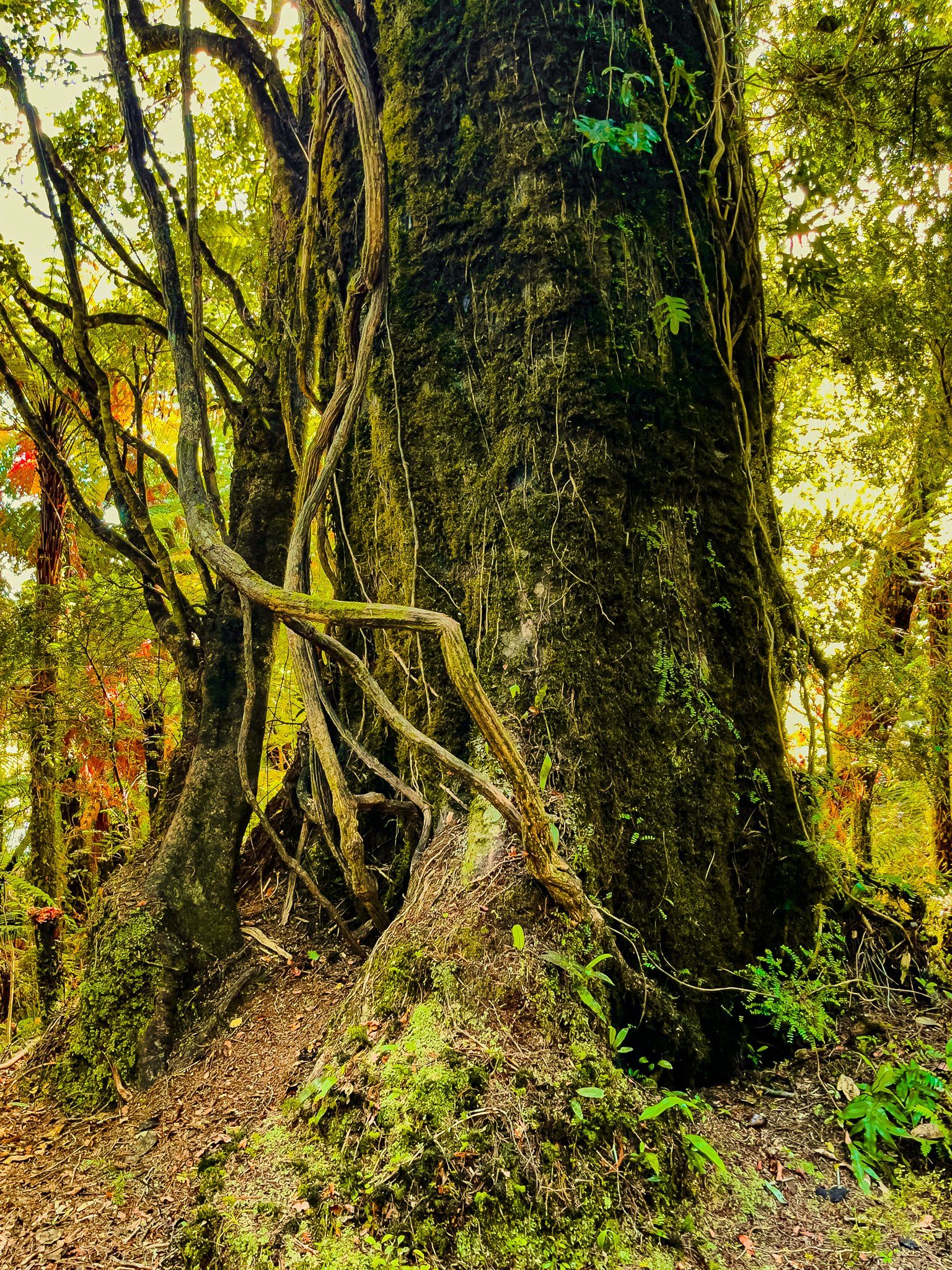
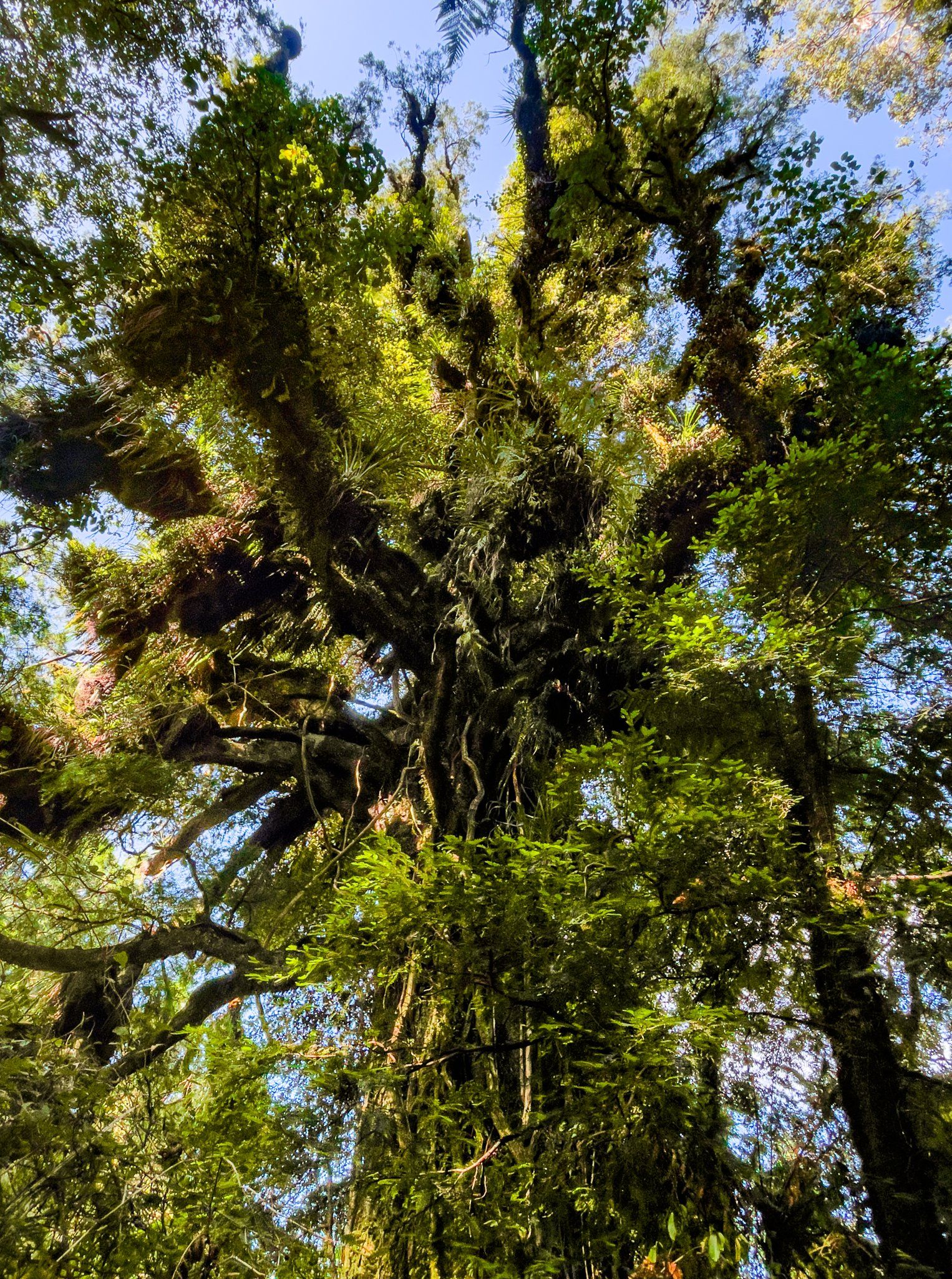
The flora is interesting throughout the forest walk; however, one of the highlights is the letter "U" marker, indicating a large tree with over 100 different flora species growing on it, a truly remarkable record. As you proceed south, the track runs close to the Moeraki River, and you'll pass whitebaiters' huts and have access to the river in some spots. Continue towards the signposted Rimu View Lookout, where you'll encounter two ancient forest giants: a rimu tree and a kahikatea side by side. From here, you can enjoy a view down the river towards the Wilderness Lodge.
After this, the track heads east and may become less distinct. However, as long as you stay heading east, you will reach the 4WD road, or a crossing of the Monro Creek at the Wilderness Lodge, which is next to the car park.
How to Get There
To reach the Lower Moeraki River Walk, follow the signposted access road from State Highway 6 to the parking area. The access road is immediately to the east of the Wilderness Lodge driveway.
Nearby, you can also visit the Monro Beach Walk. Also within 20 minutes' drive time on the highway are Ship Creek, the Haast to Paringa Cattle Track. Lake Moeraki and Lake Paringa.
