
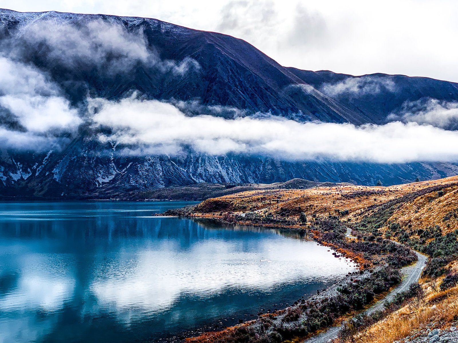
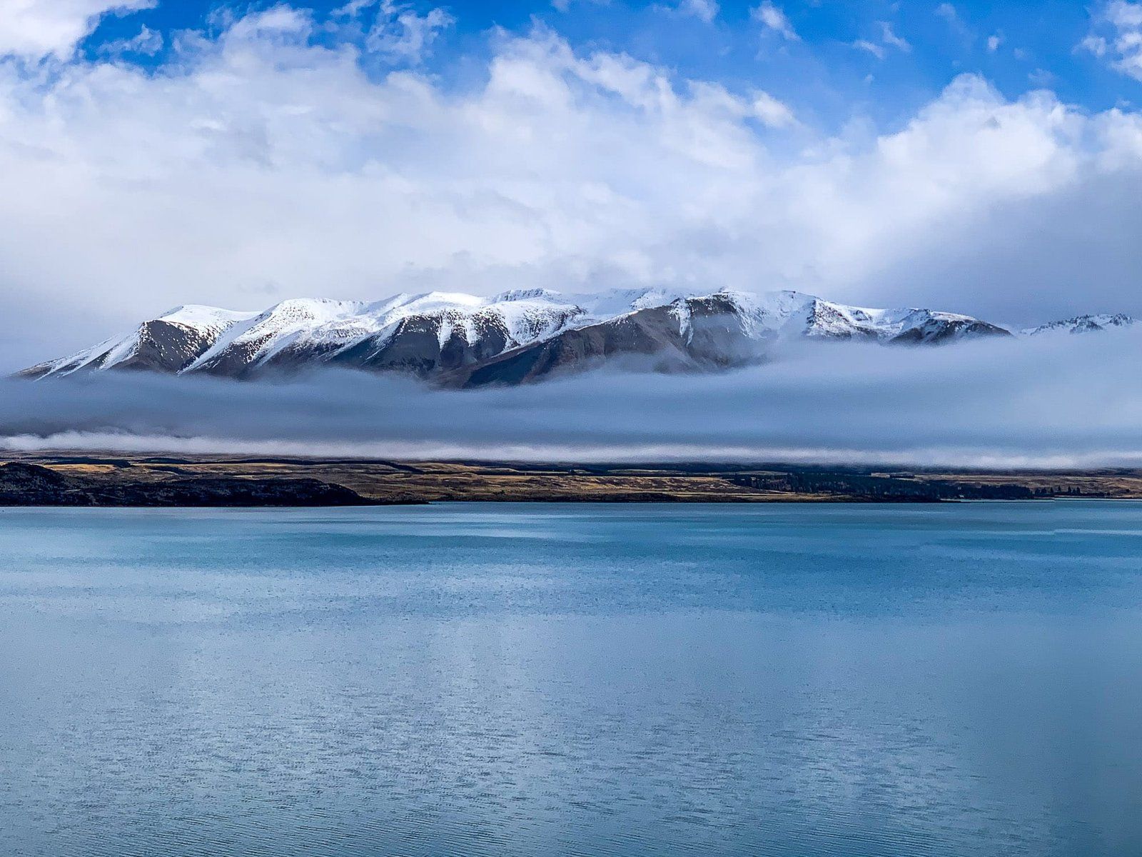
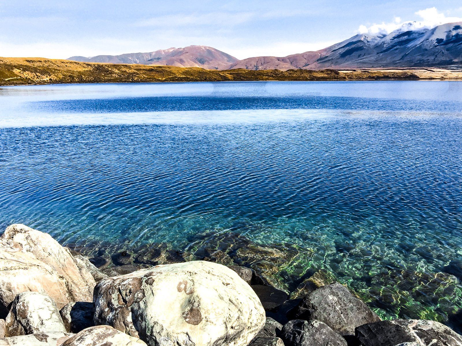
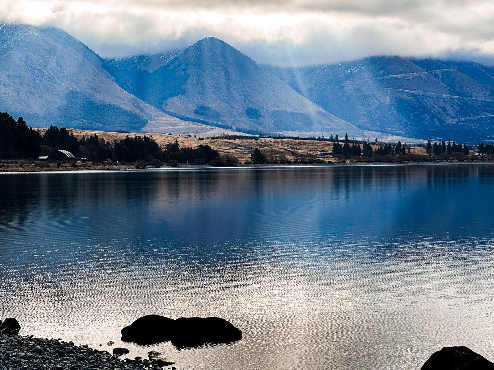
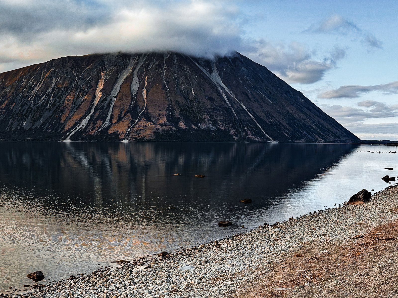
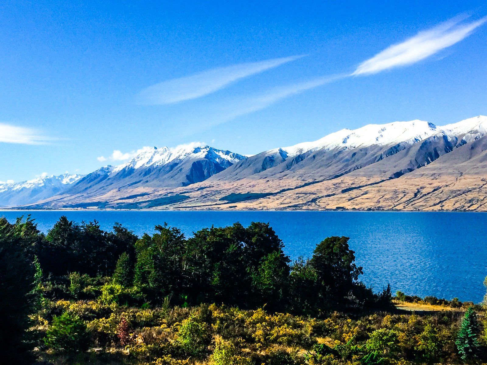
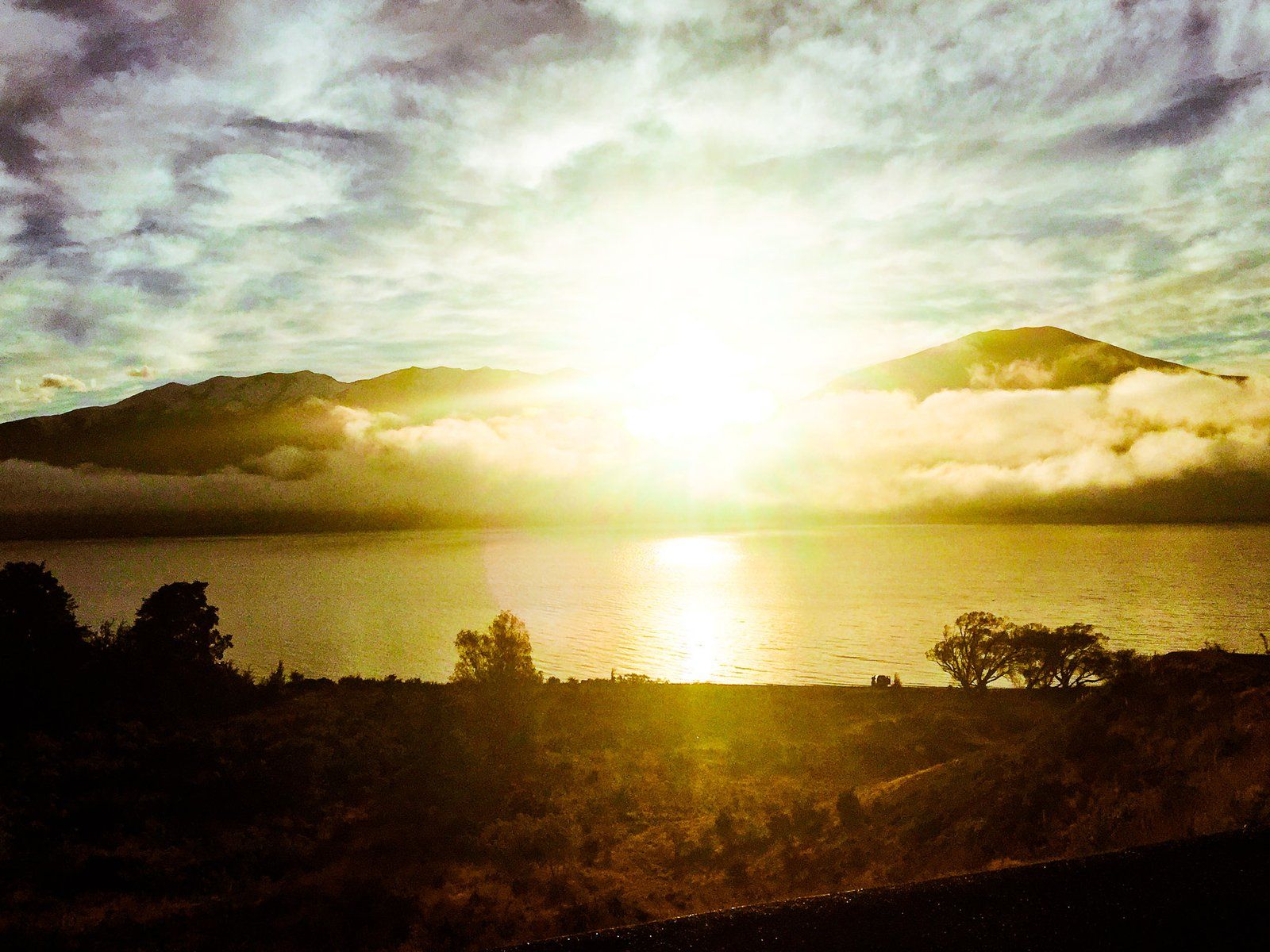
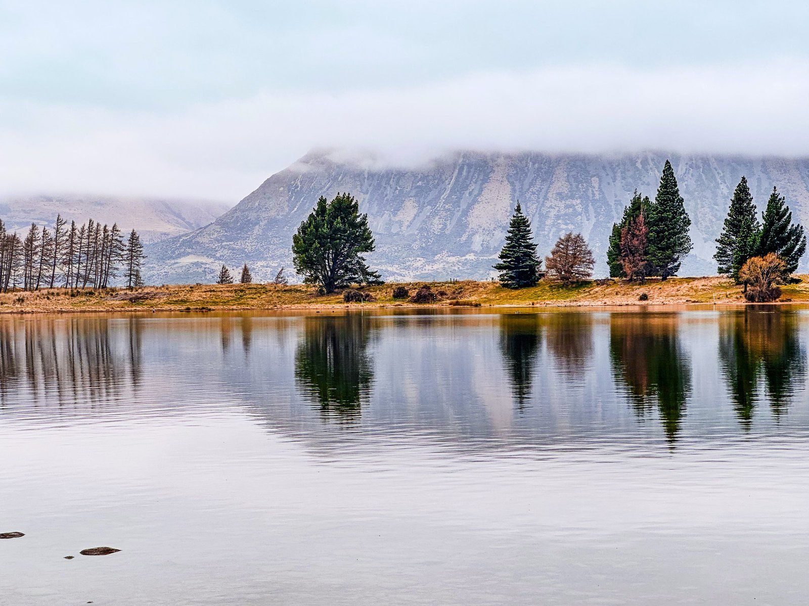
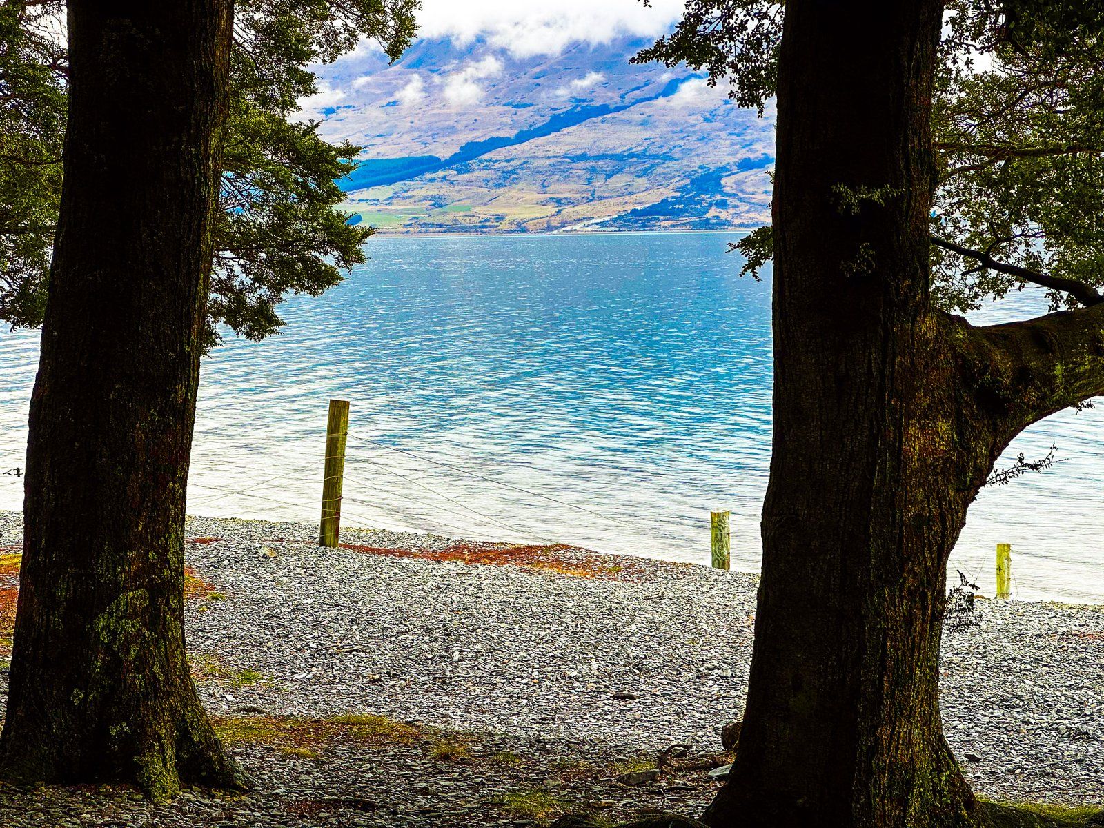
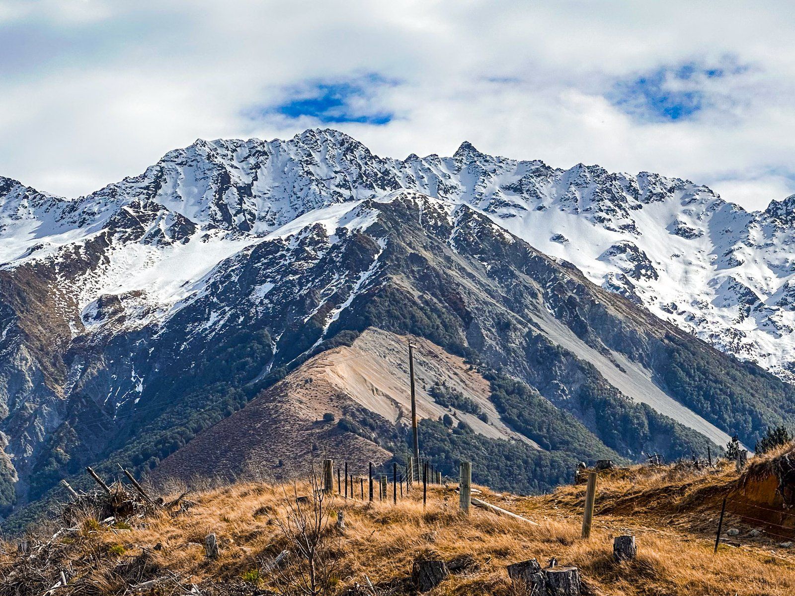
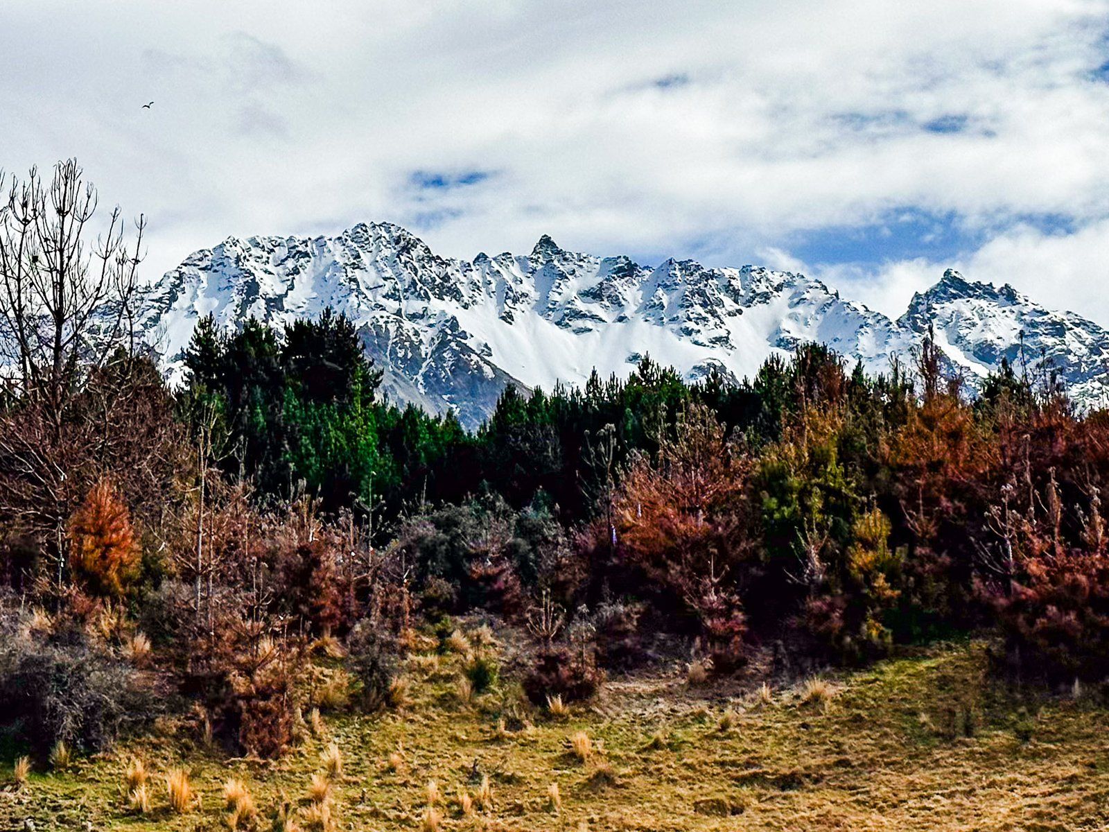
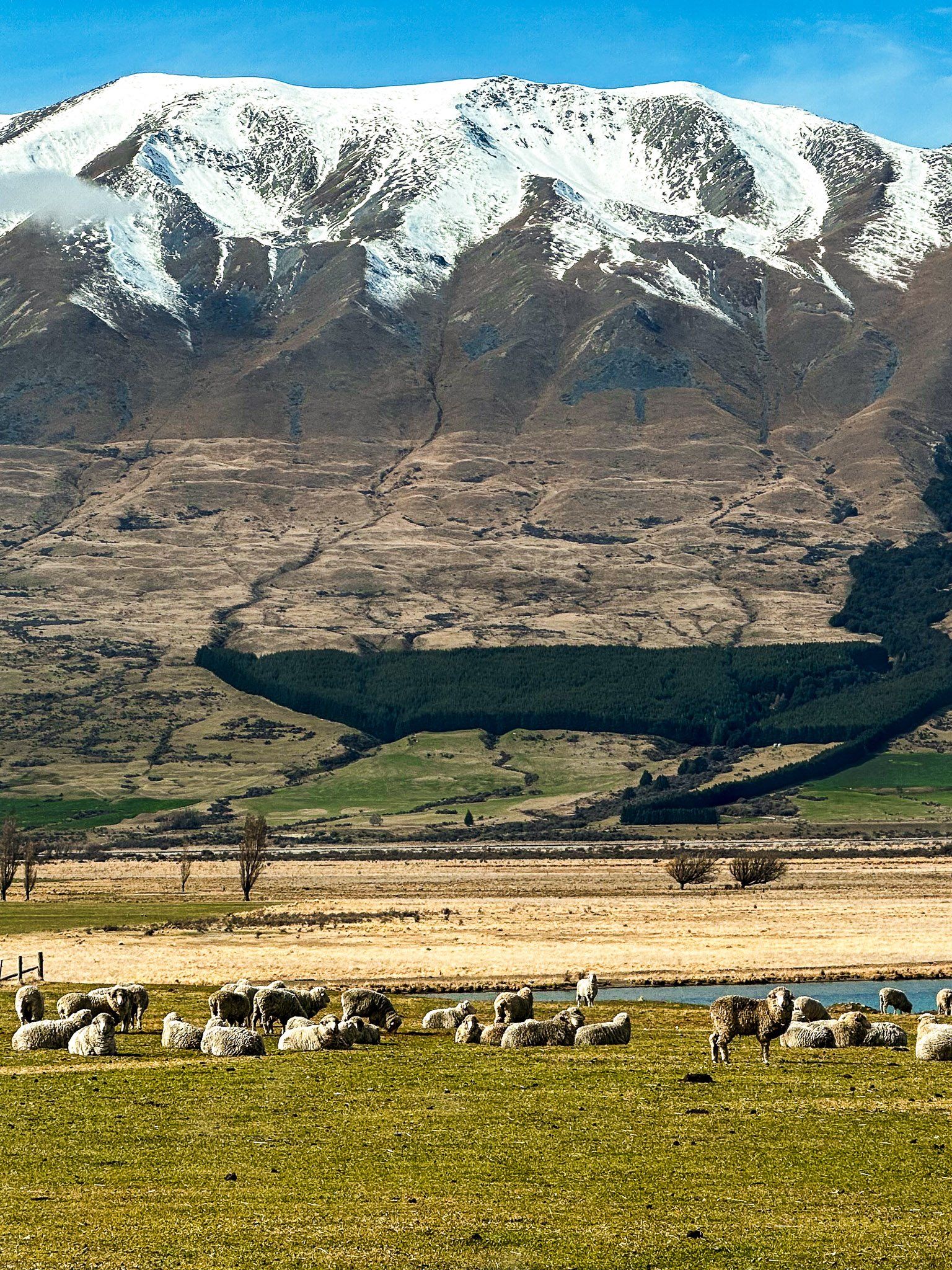
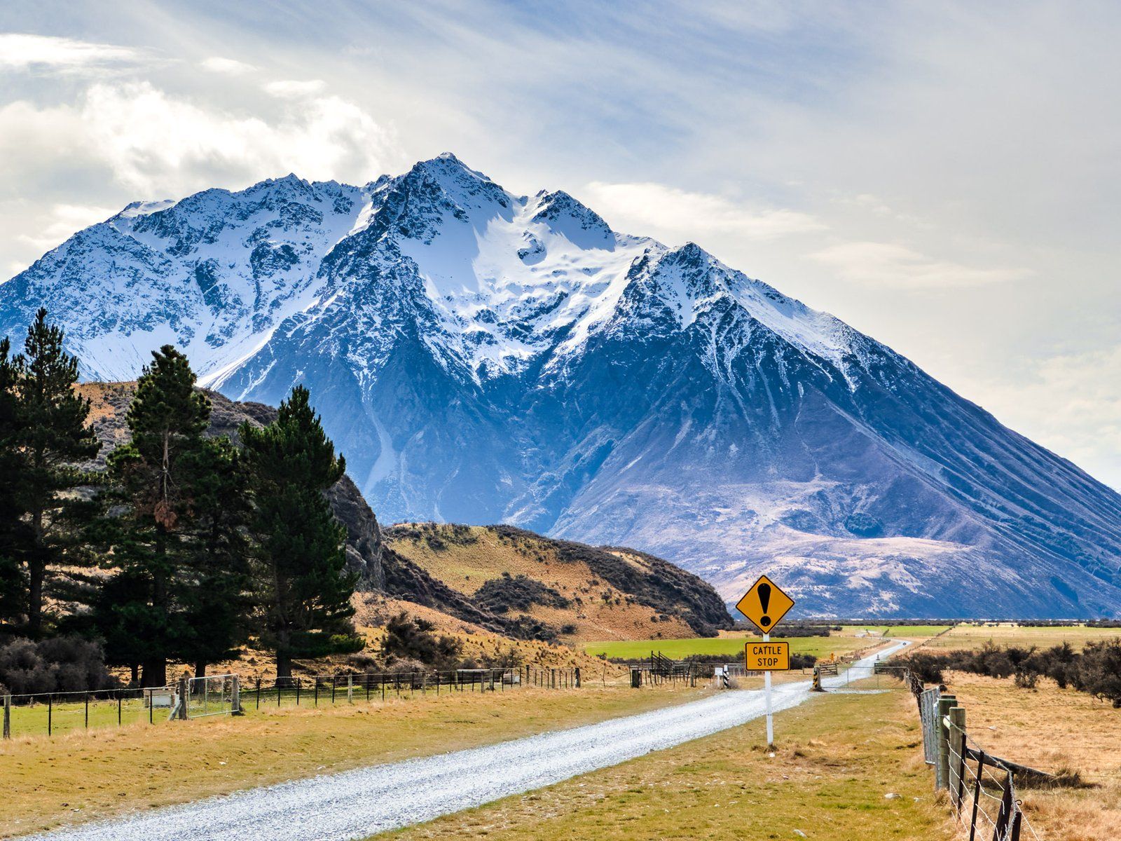
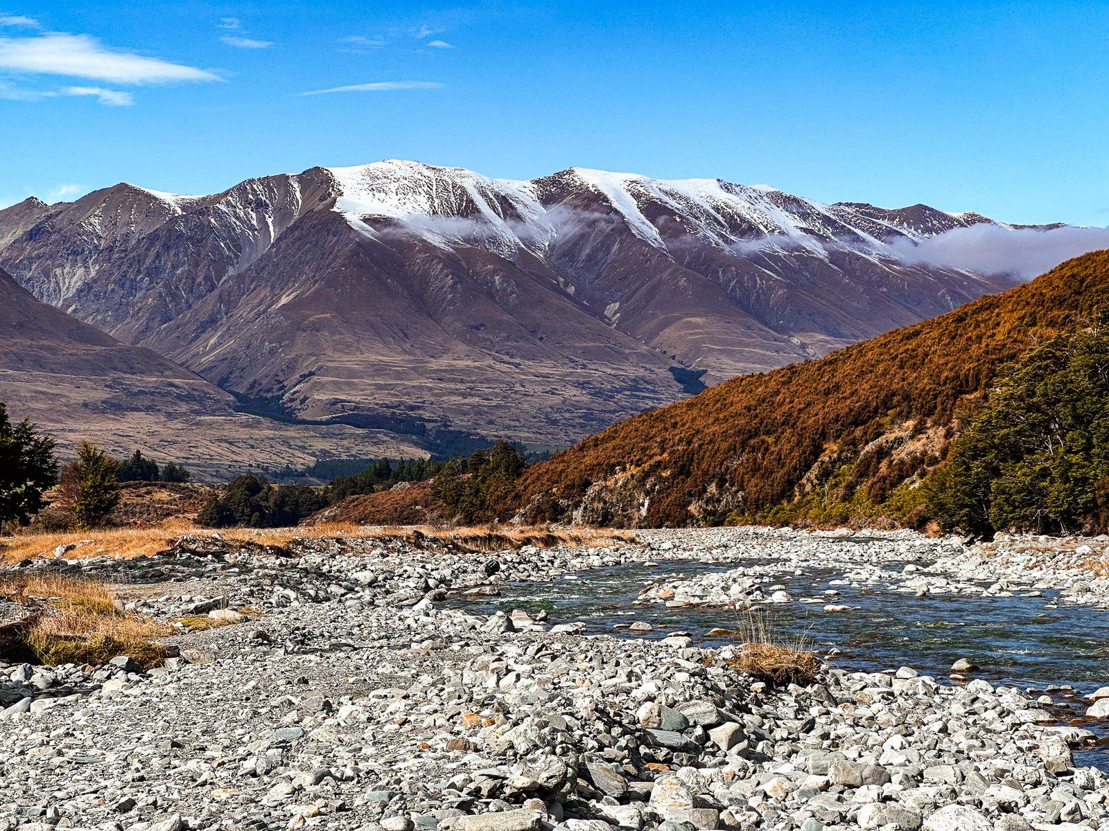
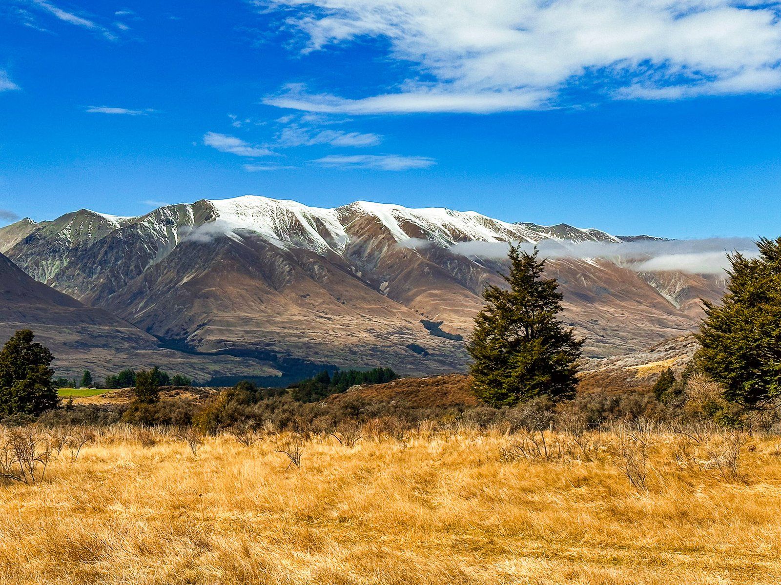
Lake Ōhau is a post-glacial lake in the Hopkins Valley of the Mackenzie Basin, South Island. The Lake is fed by two rivers that flow south from the Main Divide of the Southern Alps / Kā Tiritiri o te Moana. The Dobson River lies between the Ben Ōhau and Naumann Ranges, and the Hopkins River lies between the Nauman and Barrier Ranges. The peaks in these ranges reach 2,600 metres as they approach the Main Divide. They are particularly striking, with snowcaps from autumn to spring. Ben Ōhau, the mountain at the front of the Ben Ōhau Range, is notable with its rounded top and steep slip-prone face.
The lake is not as well-known as the larger lakes of Pukaki and Tekapo, requiring a side trip from SH8. However, there are numerous outdoor recreation options. These range from easy hikes and bike rides to hardcore alpine tramps. Tracks penetrate into the Hopkins and Dobson Valleys, accessing remote parts of the South Island.
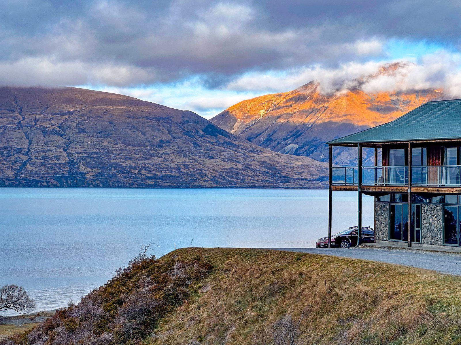
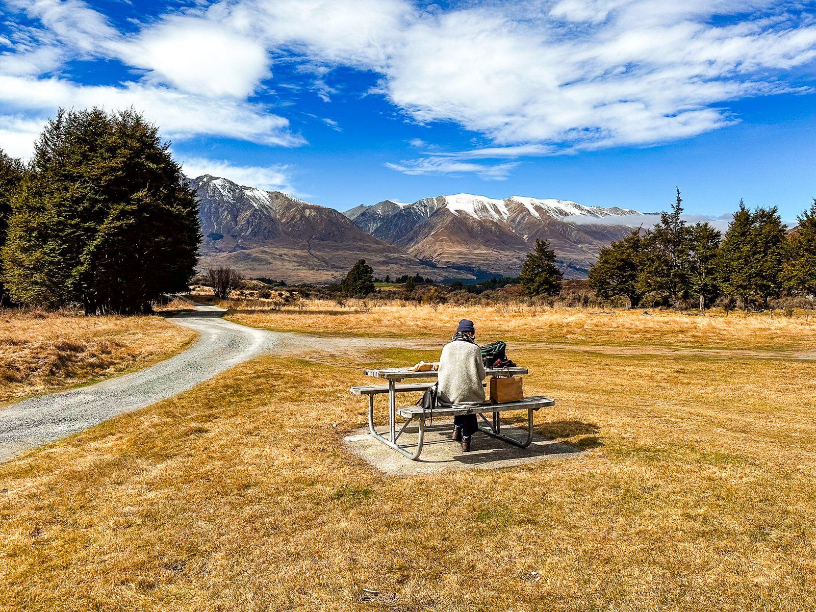
Accommodation options include the small Lake Ohau Alpine Village and the long-standing Lake Ōhau Lodge west of the lake. There are also several DOC campsites if you’re looking for something closer to nature. From Lake Ōhau Lodge, you can also drive to the Lake Ōhau Skifield in season.
The most direct way to the Lake is via Lake Ōhau Road from State Highway 8, between Omarama and Twizel. This accesses the southwest end of the lake with hiking and cycling options near Lake Ōhau Lodge. These include the Tarnbrae Track, a section of the A2O, and the Freehold Creek Track, a section of Te Araroa that goes to the Ahuriri Valley. Continuing up the Lake on the road takes you to various DOC camping options, huts and tramping tracks in the Maitland, Hopkins, Temple and Huxley Valleys.
The other lake access option is to take Max Smith Drive past Lake Ruataniwha. From here you can connect with the Ōhau Canal roads. This takes you to Glen Lyon Road and the lake’s southeast end near the Ōhau River Outlet. Glen Lyon Road then follows the east side of the lake into the Dobson Valley. There are various tramping options, including a 1000-metre climb to the top of Ben Ōhau and back.
The two access points are connected by the easy Lake Ōhau Track. This is a section of the A2O Cycle Trail and of Te Araroa.
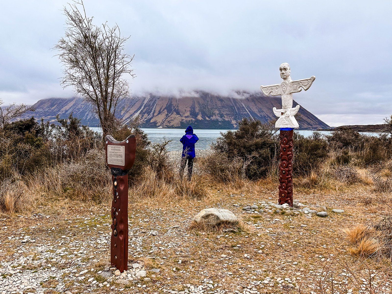
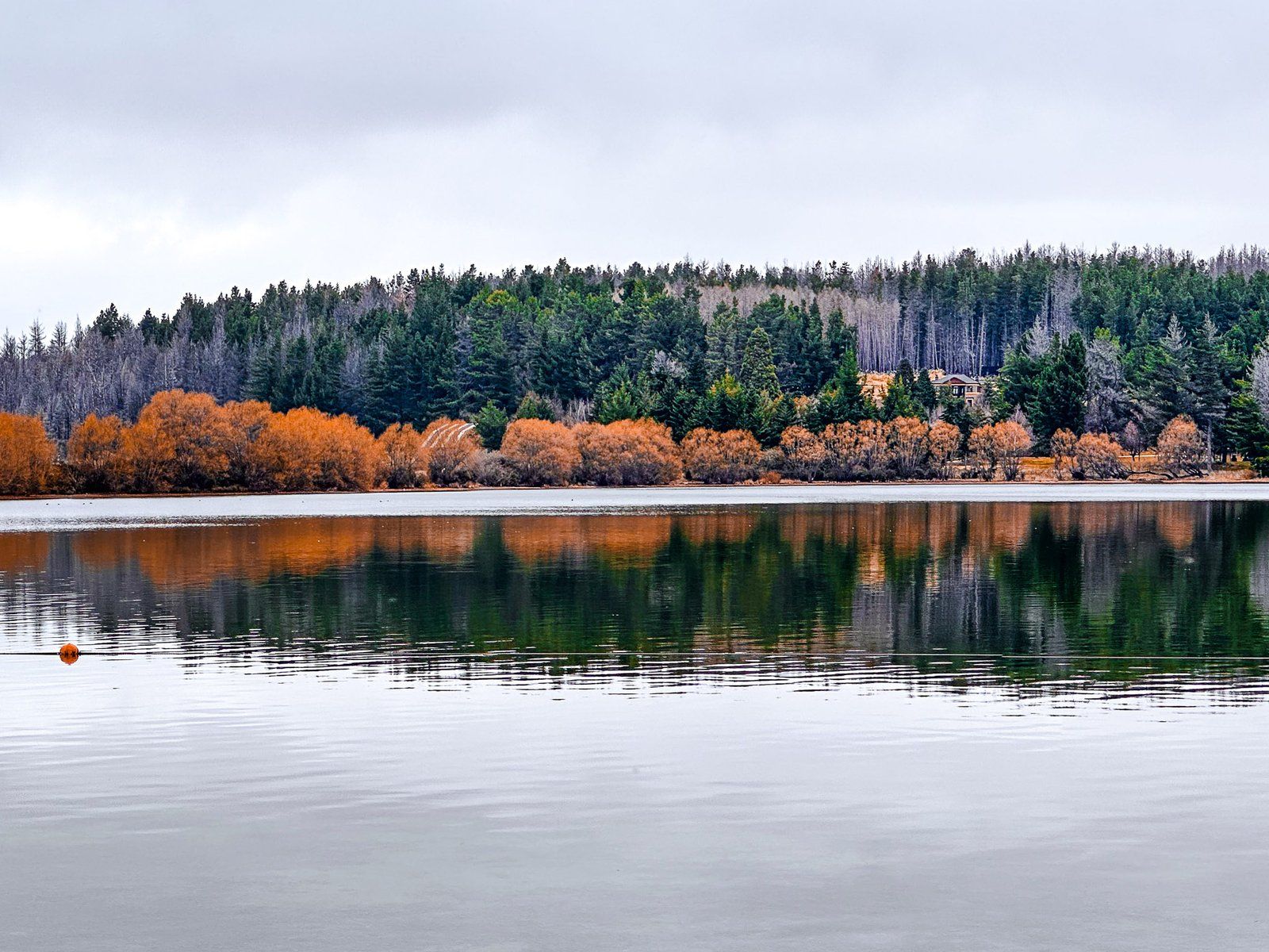
The largest beach is at the west end of the Lake Ōhau Track. Here you can find boards and a pou (carved post) that tells the Ngāi Tahu Lake Ōhau creation legend. It was dug by the Waitaha explorer Rākaihautū with his digging stick, Tūwhakaroria, along with the other South Island lakes. Certainly more magical than the erosive power of glaciers!
Pre-Europeans, Ngāi Tahu visited Lake Ōhau as part of their seasonal food gathering patterns, harvesting tuna (eels) and birds. The first Europeans established some of the largest sheep stations in NZ here. These include the Benmore Station at 101,500 hectares and 65,000 sheep, opened in the 1870s, and Lake Ōhau Station at the north end of the lake. These high country stations were considered too big, broken up into smaller stations during WWI, and are still present today.
The lake is also known for its trout fishing. If you want to get more remote, head up the Dobson and Hopkins Valleys for river fly fishing.
Lake Ōhau Road
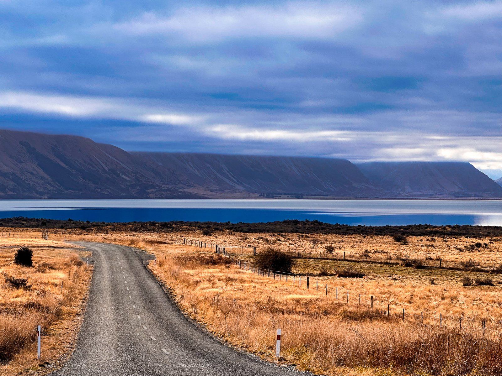
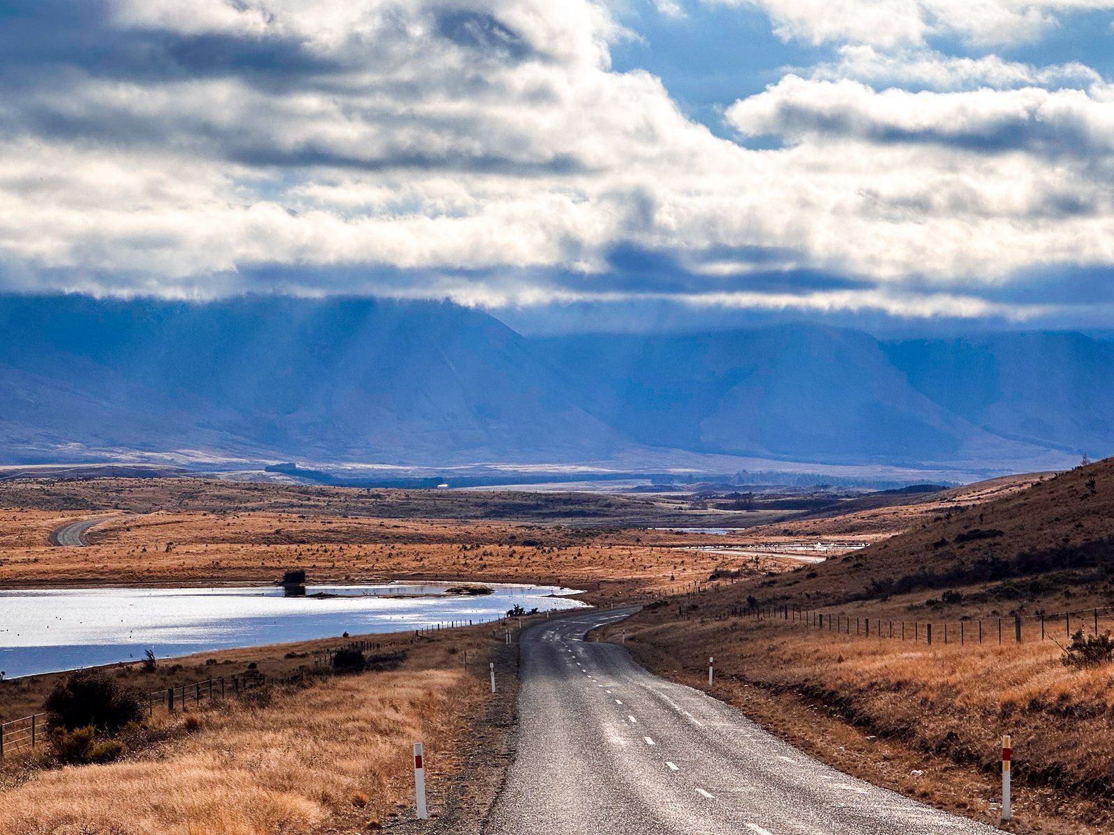
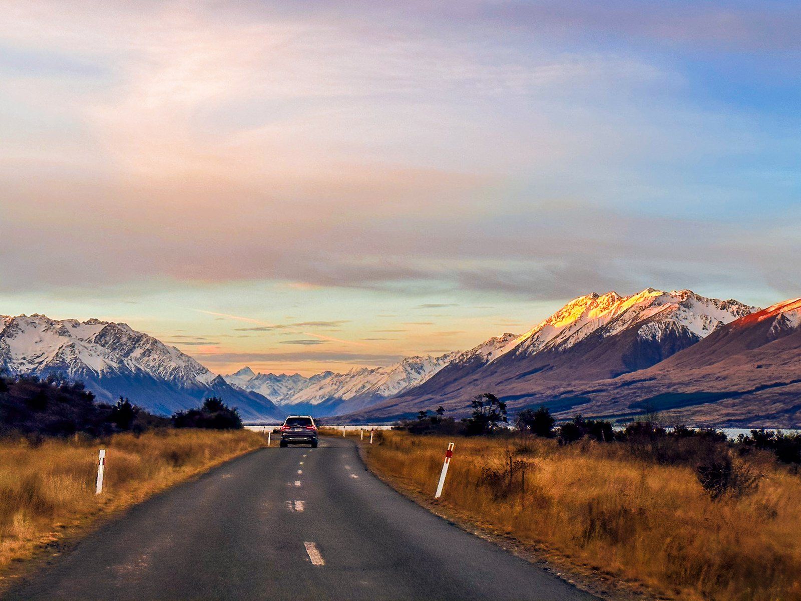
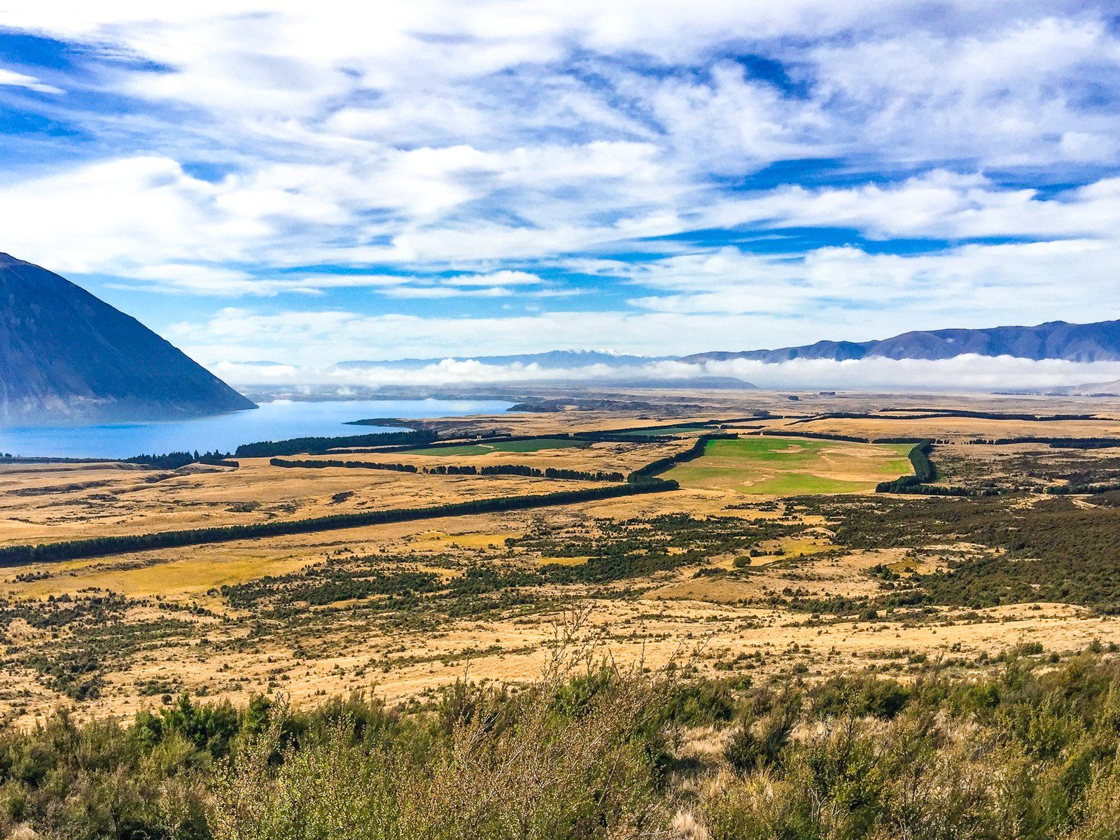
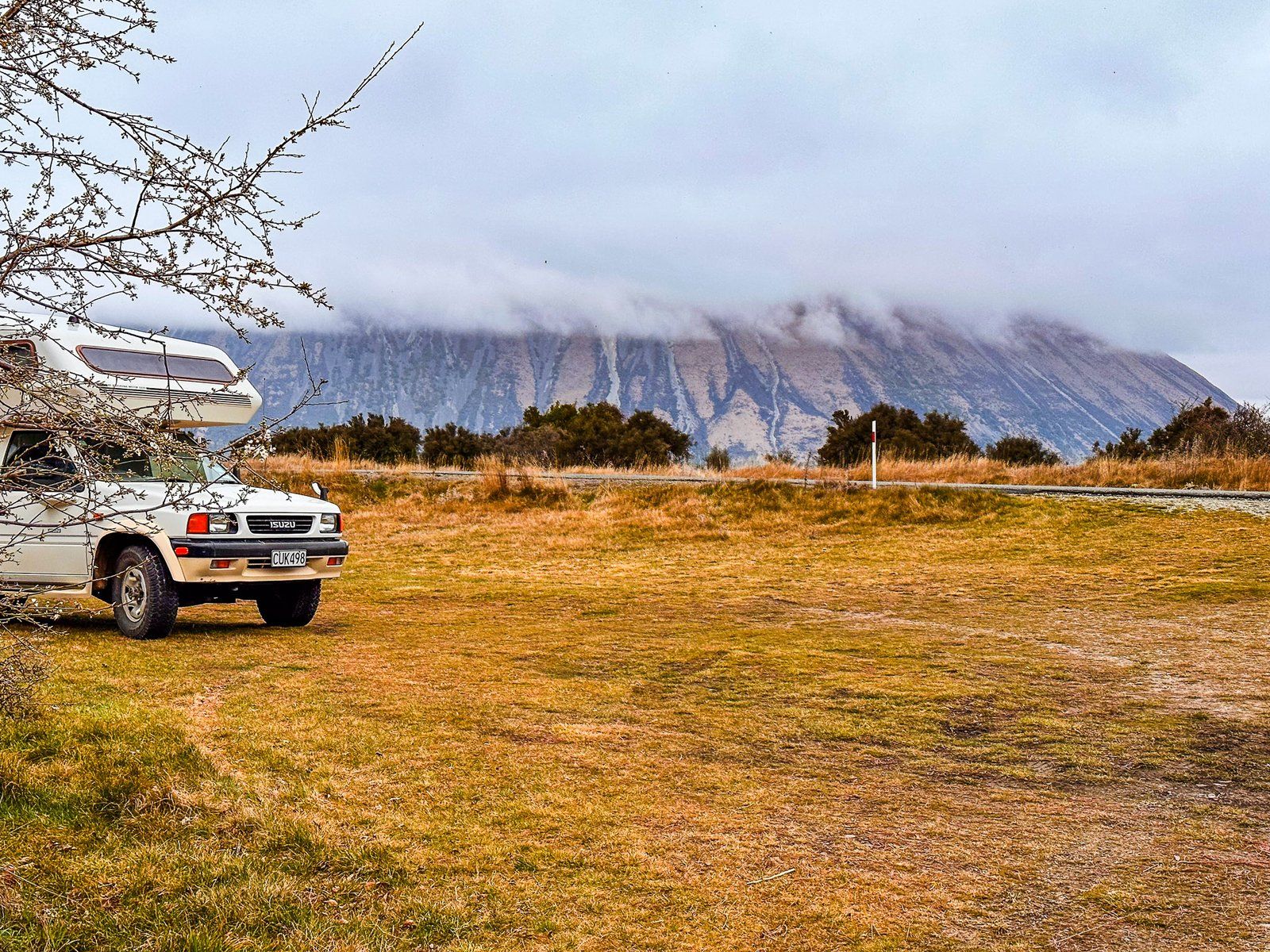
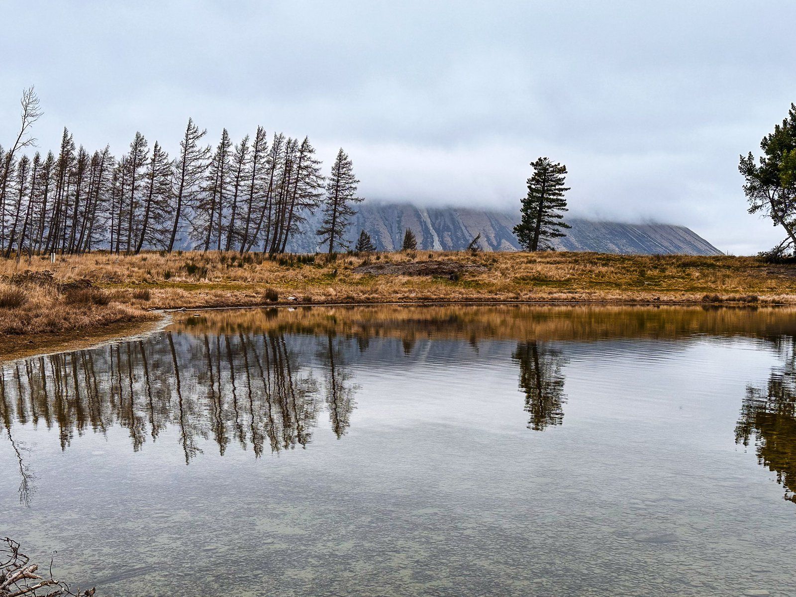
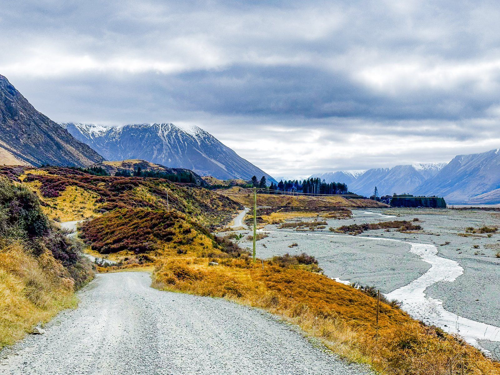
Lake Ōhau Road is accessed from State Highway 8, about halfway between Omarama and Twizel, in the Mackenzie Basin. The road heads northwest for 15 km to Lake Ōhau. It starts about 500 metres above sea level. Then it rises to 600 to the top of the glacial moraine before returning to the lake at 540 metres. It initially crosses farmland, then changes to tussock grass with wetlands and several lagoons on the moraine before the lake.
Watch out for the “spade line”, a roadside memorial to the oddball story of the original demarcation of the Canterbury and Otago provincial border signposted before the lake. The memorial consists of an explanatory sign and an original piece of barbed wire! A similar sign can be found at Birchwood Picnic Area in the Ahuriri Valley.
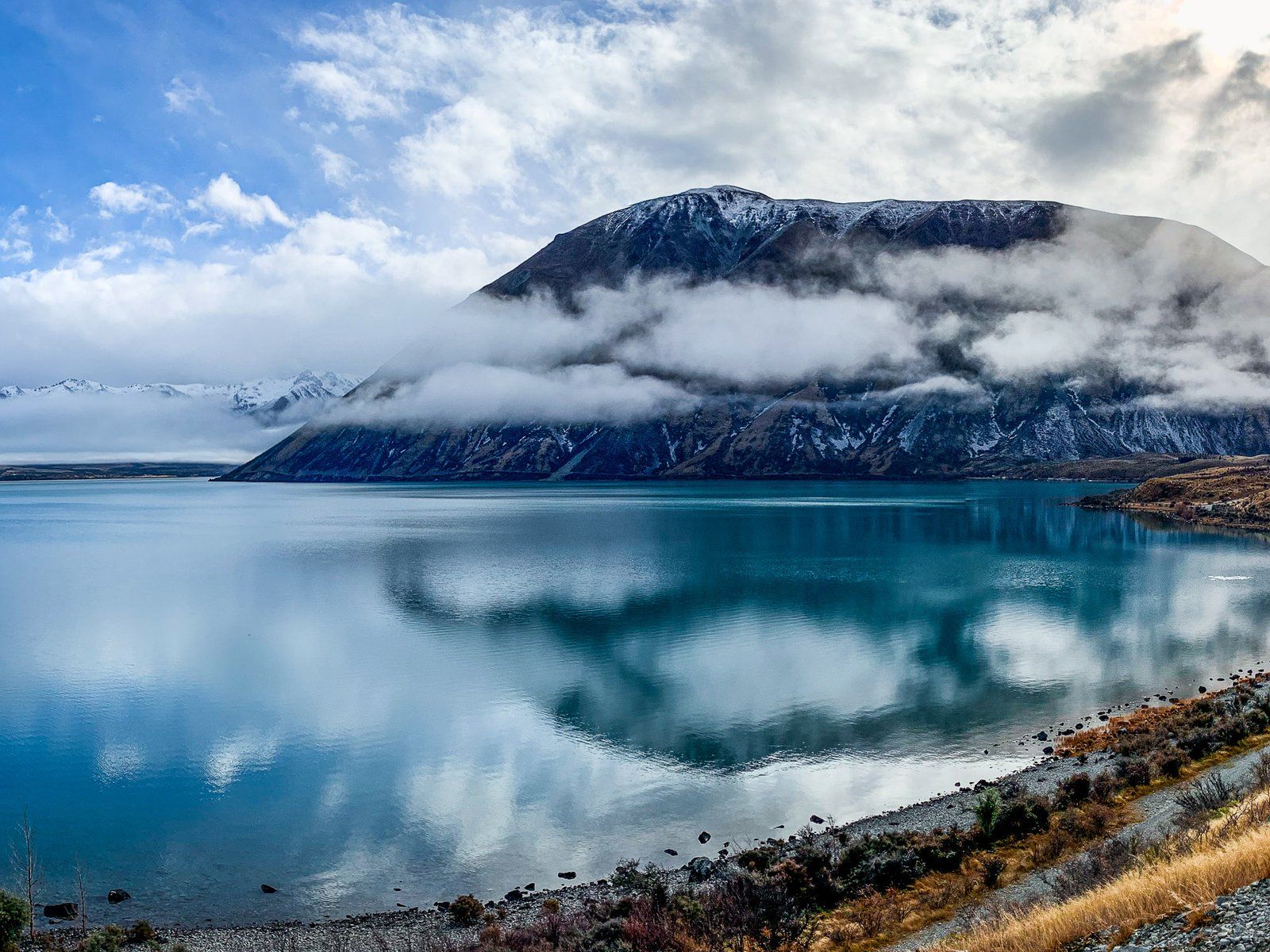
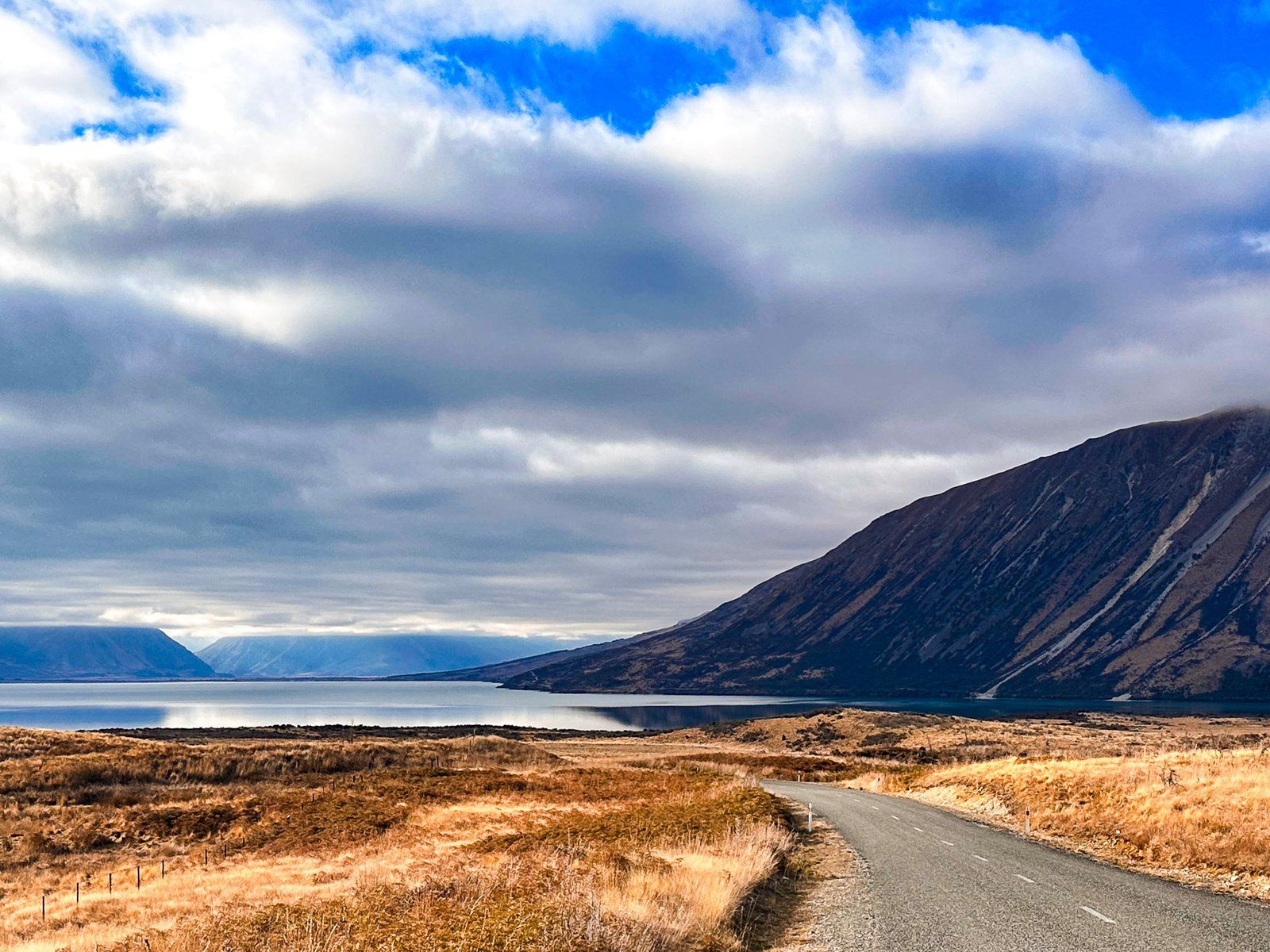
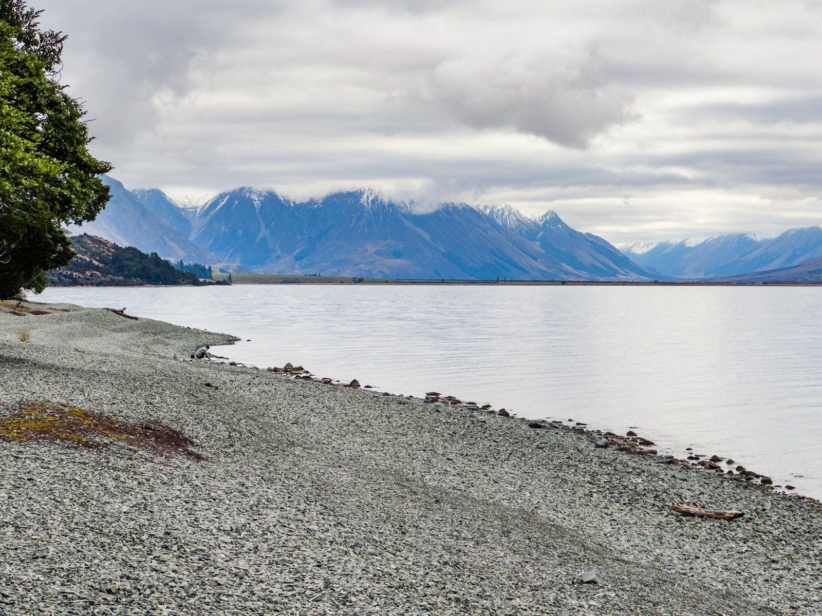
As the road approaches the lake, the views are stunning, with the prominent 1,522-metre-high Ben Ōhau fronting the Ben Ōhau Range on the east side of the lake and Barrier Range to the west. Where the road reaches the lake, there is a short side road and a parking area to the east with a gravel beach, also the start of the Lake Ōhau Track.
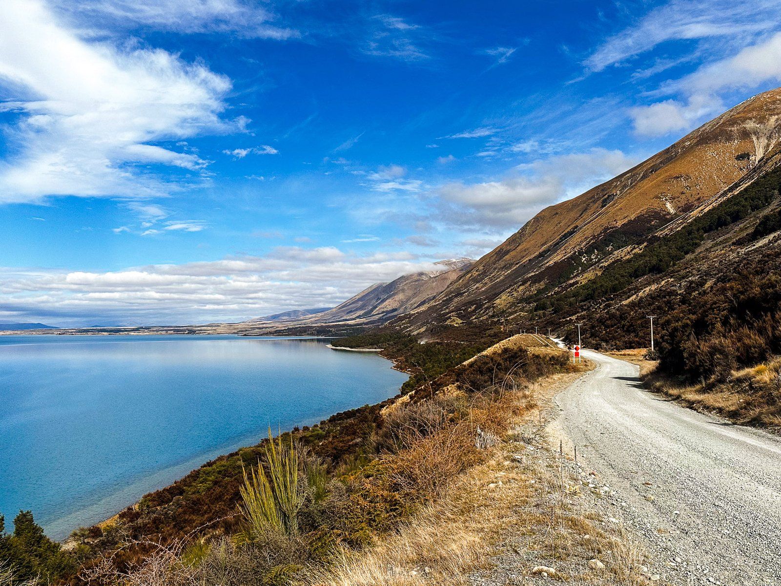
Lake Ōhau Road then follows the west side of the lake for 12 km to Lake Ōhau Lodge and the Ōhau ski field access. On the way is Lake Middleton, with a campsite and access to Lake Ōhau Alpine Village. This section of the road continues the Alps2Ocean Cycle Trail and Te Araroa from Lake Ōhau Track, so take care.
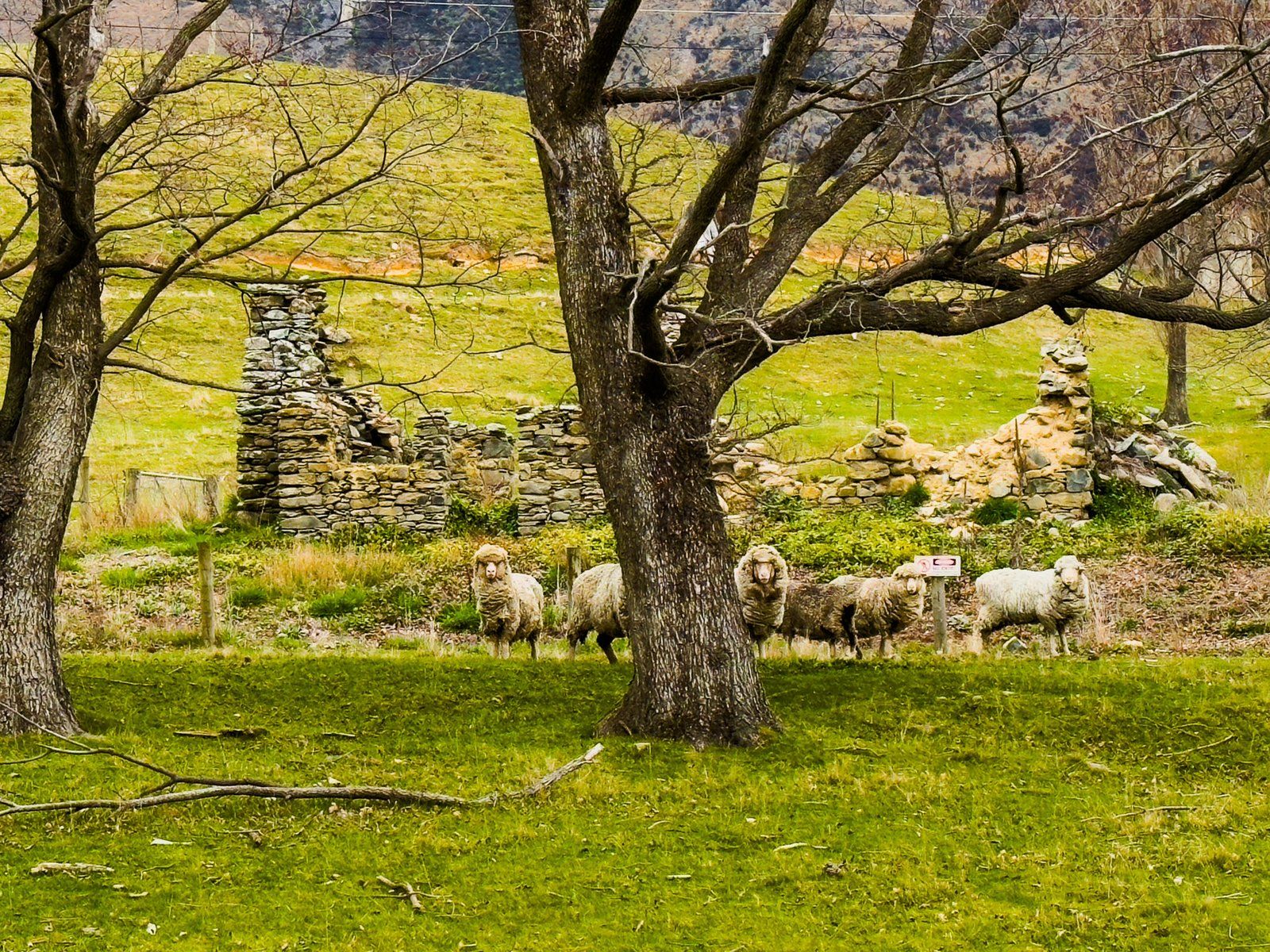
From the lodge onwards, the road goes from sealed to metal and follows the lake’s western edge for another eight km, passing Round Bush Campsite (DOC). It then enters the wide Hopkins River valley. Immediately to the left is a stone building ruin, probably with a few sheep. Continuing for ten km provides a short access road to Temple Valley, the Temple Campsite, and the Temple Valley tracks.
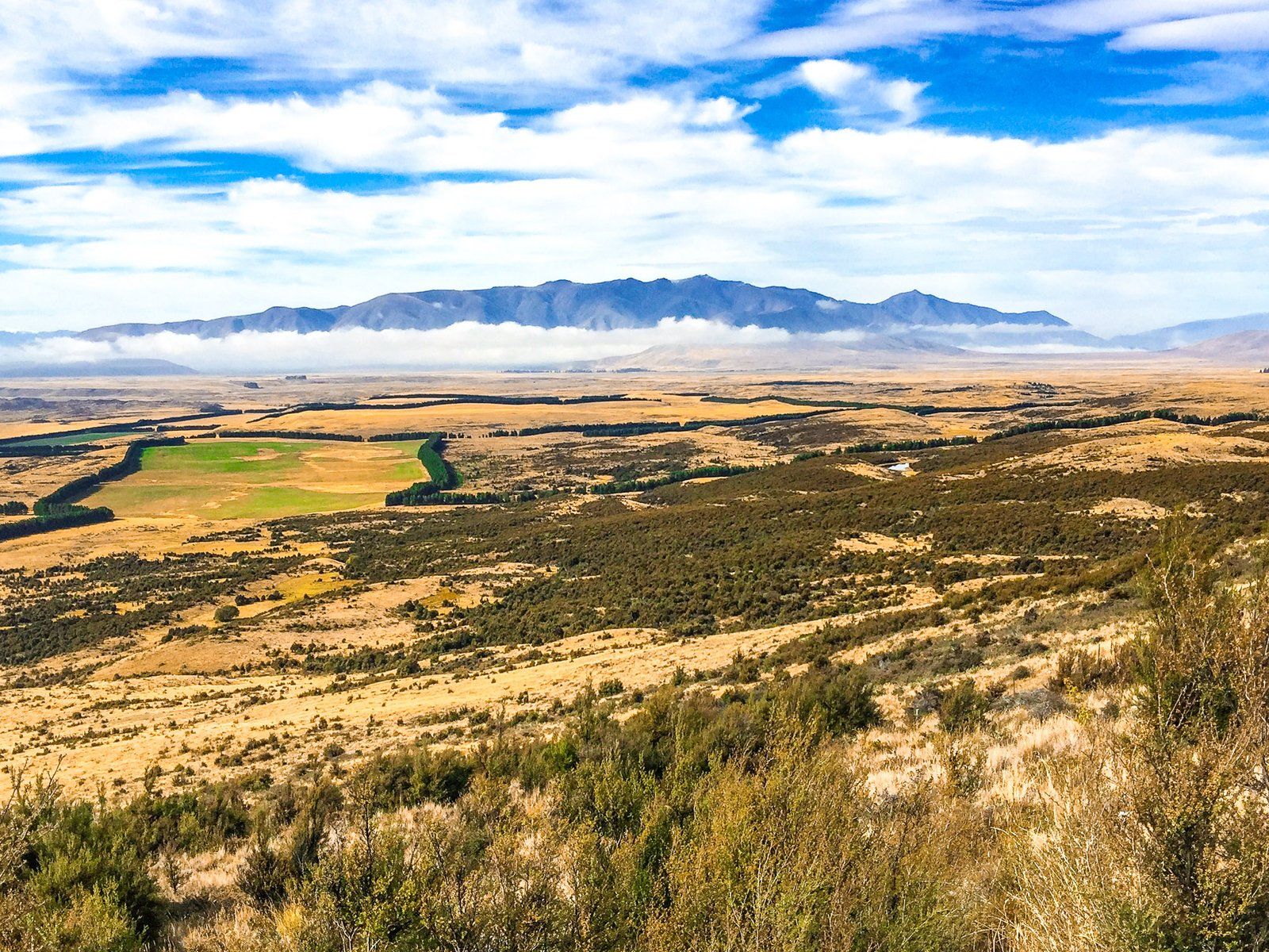
If you have the time, continue for another 11 km up the Hopkins Valley to the road end. This provides access to remote tramping and 4WD tracks and huts in the Hopkins and Huxley Valleys, on the edge of the Main Divide of the Southern Alps, with peaks up to 2,500 metres.
Lake Ōhau Track
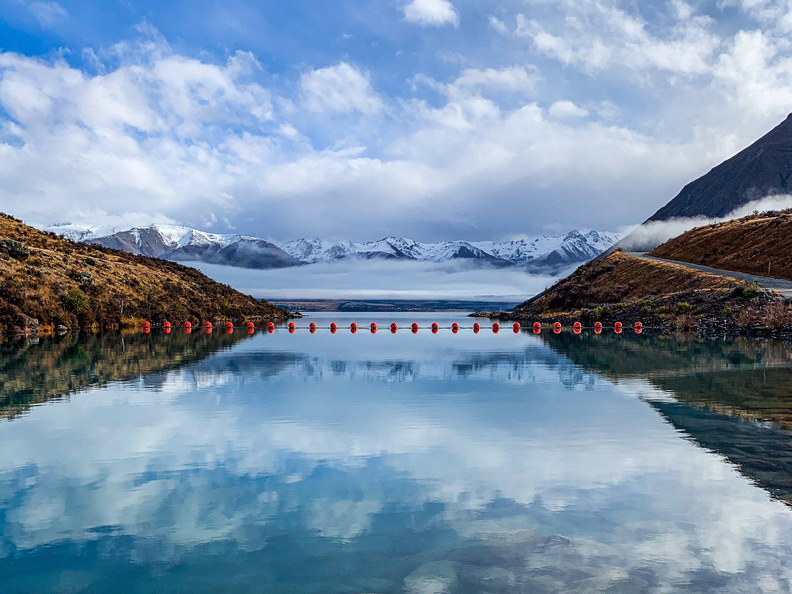
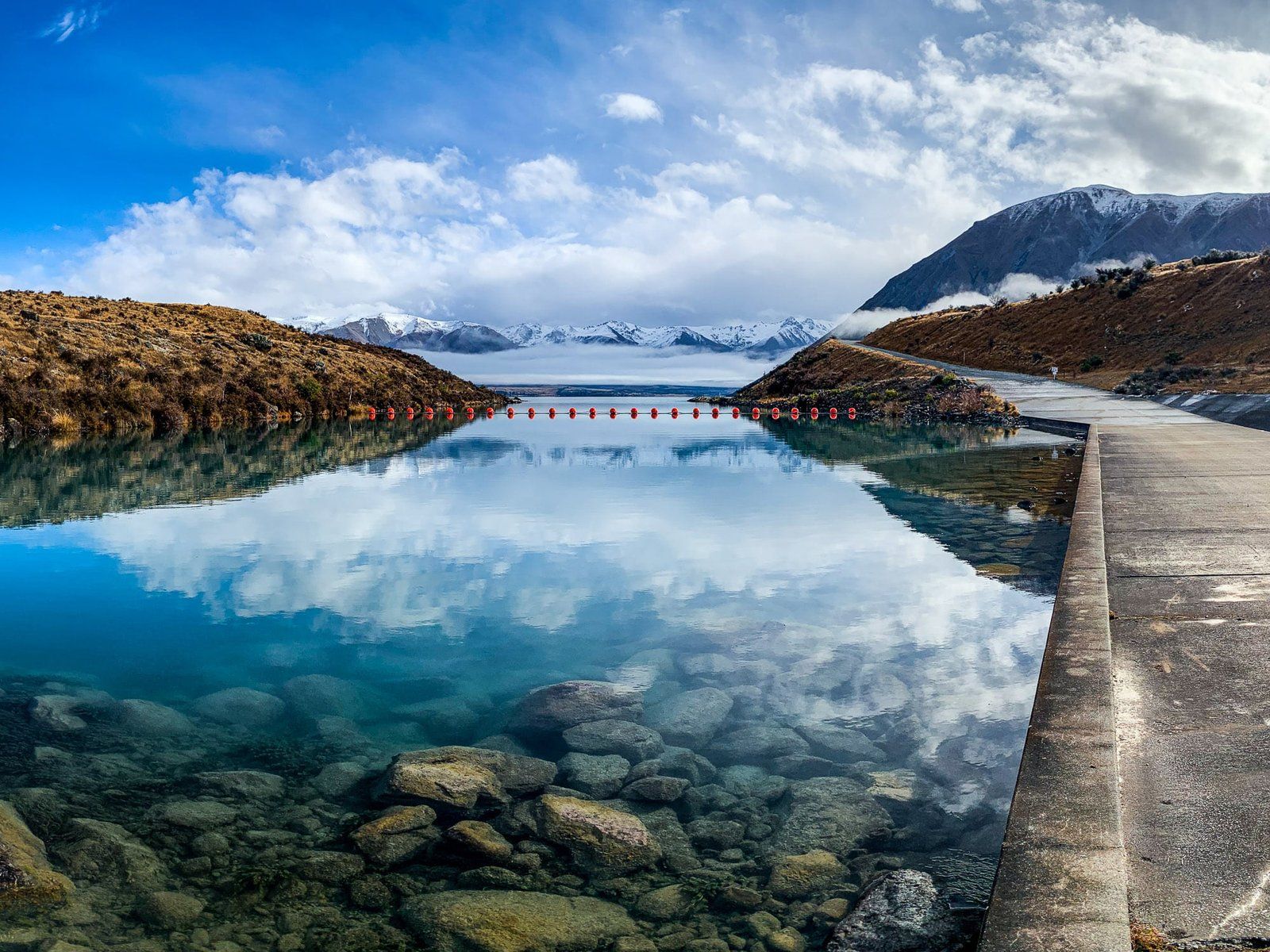
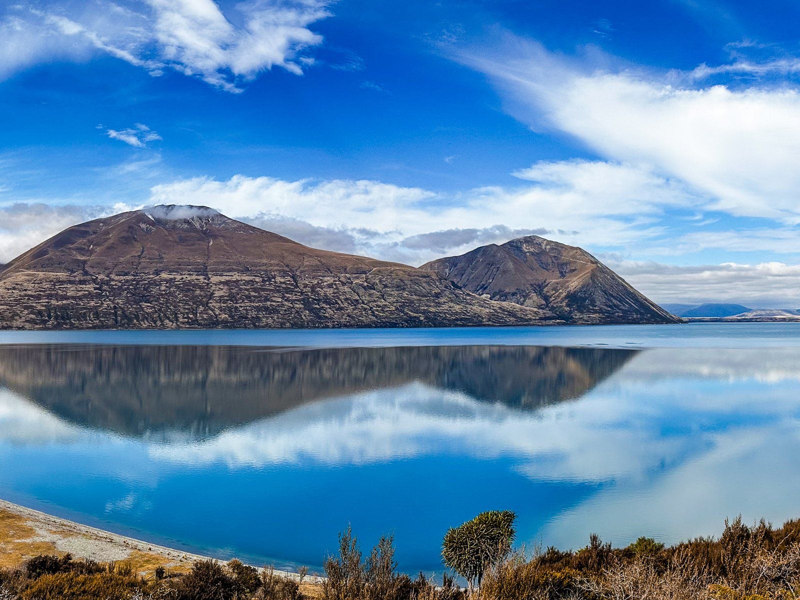
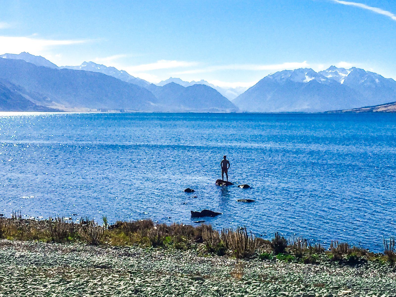
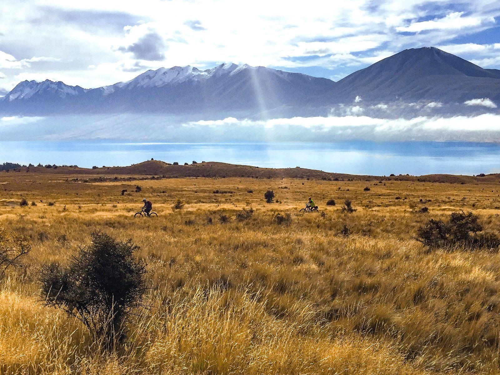
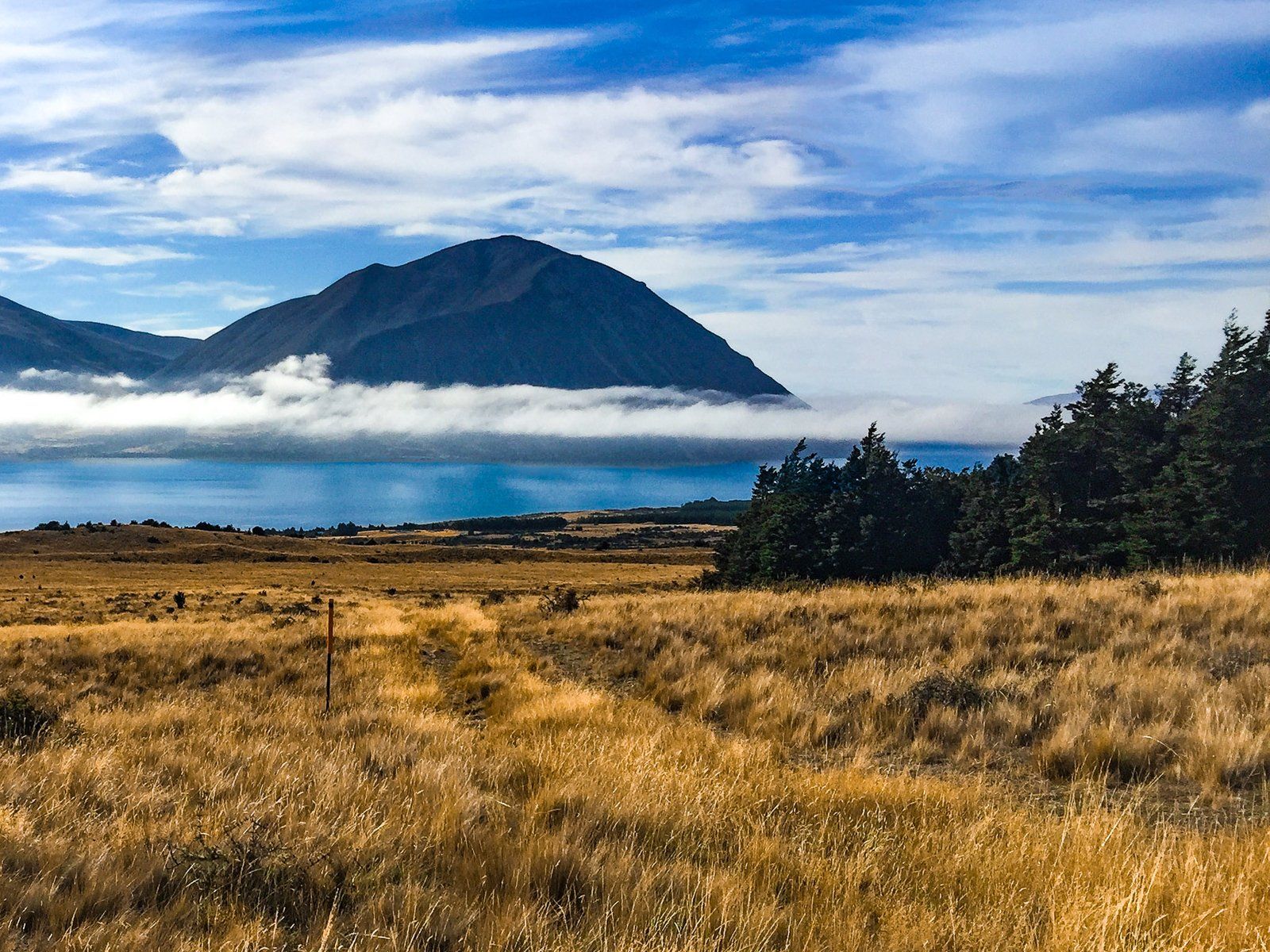
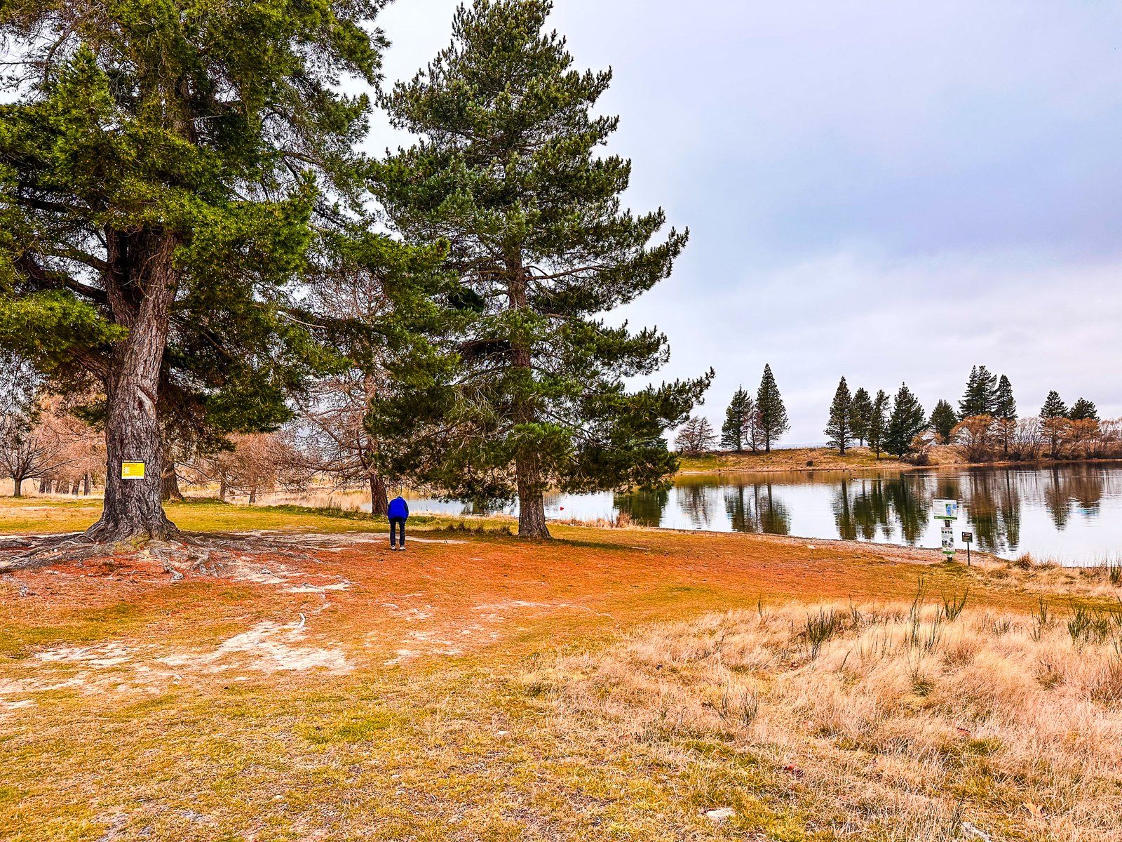
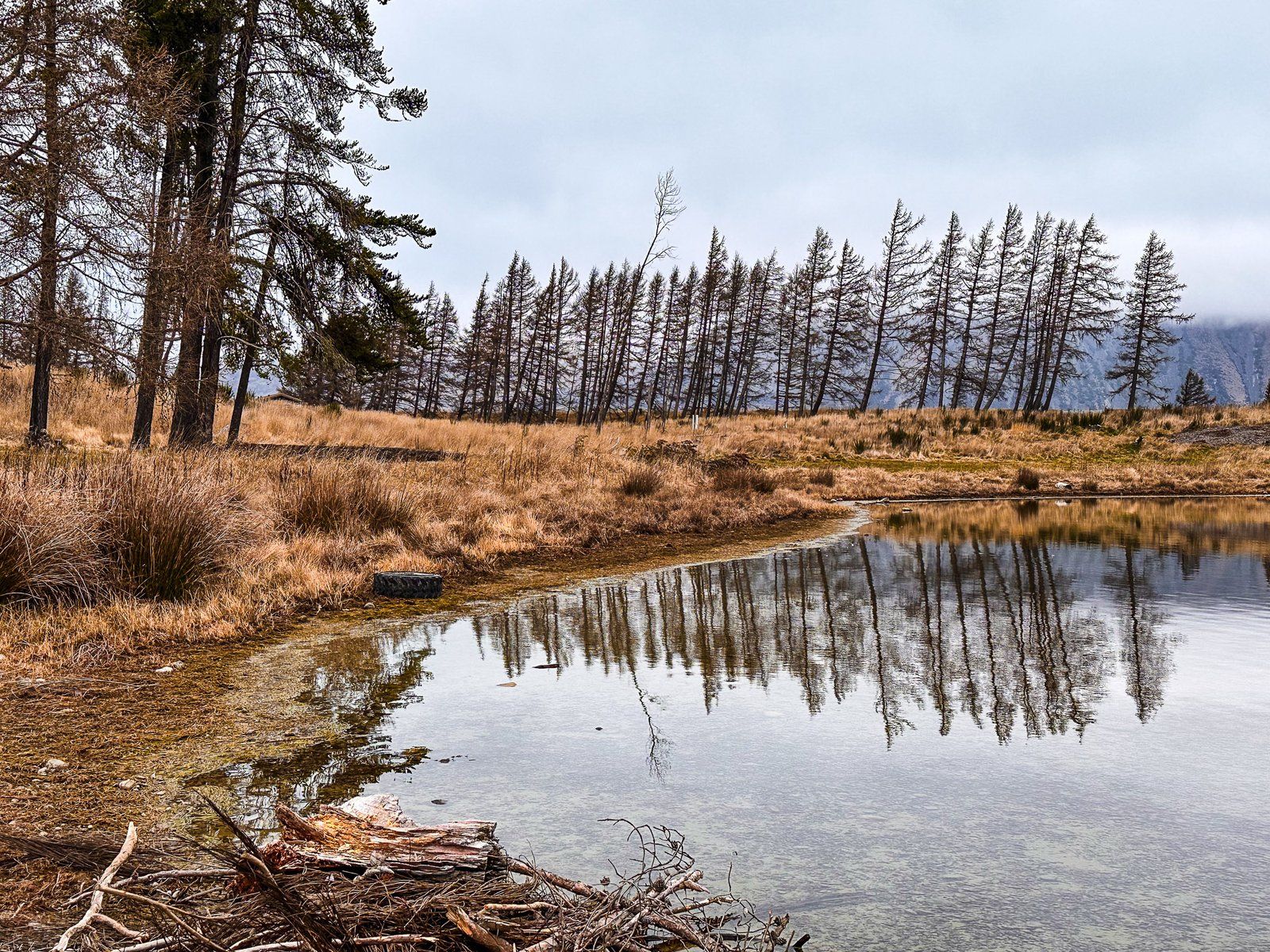
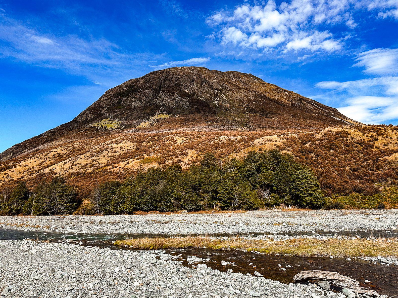
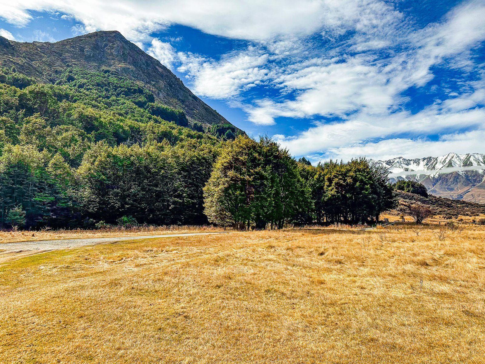
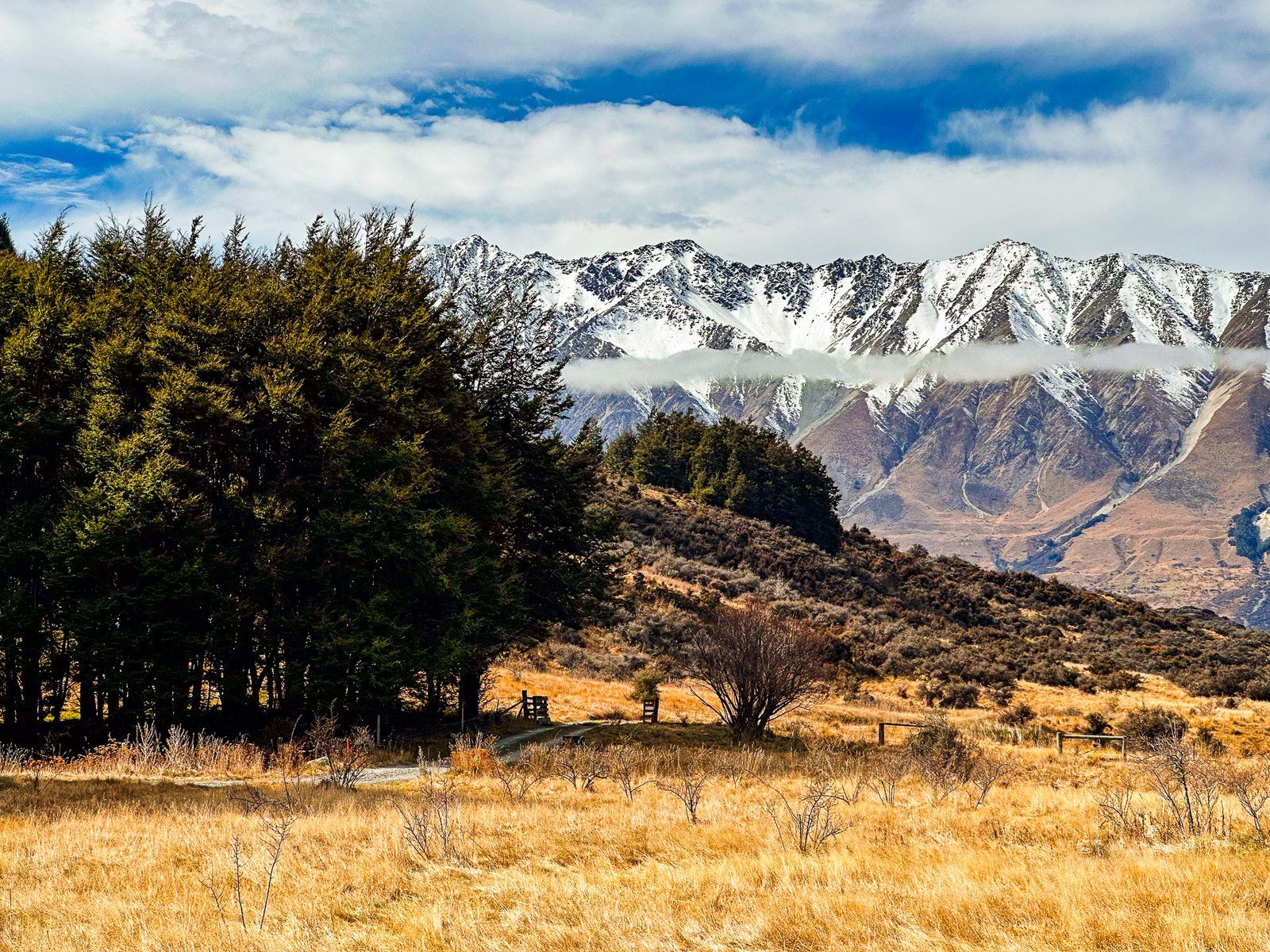
Lake Ōhau Track is a beautiful, easy eight km shared cycle and walking track around the south end of Lake Ōhau. It runs between Lake Ōhau Road to the west and Glen Lyon Road to the east. It follows the edge of the lake, with superb views of Ben Ōhau, the 1,522-metre peak immediately on the north side of the lake.
At the Lake Ōhau Road end of the track, there is a large car park in front of a gravel beach. The view is down the lake from the beach to the Hopkins Valley and surrounding mountain ranges. Ben Ōhau, at 1,522 metres, dominates towards the northeast at the front of the Ben Ōhau Range. The Barrier Range runs along the west side of the lake.
A couple of panels provide a Māori perspective just before the track entrance. One refers to the creation myth of the lake, and the others tell true stories. One of these is about the “hole in the middle”. Essentially, Ngāi Tahu sold what is now much of Canterbury and Otago to the NZ government in 1848, believing they had excluded the high country, lakes and mountains (the “hole”). The government took possession of all the excluded land anyway. This and other breaches of the Treaty of Waitangi were finally settled in 1998. Nearby is a pou (carved post) and a further panel which is a reminder of the teachings of Ariki Tohukato around peaceful conflict resolution.
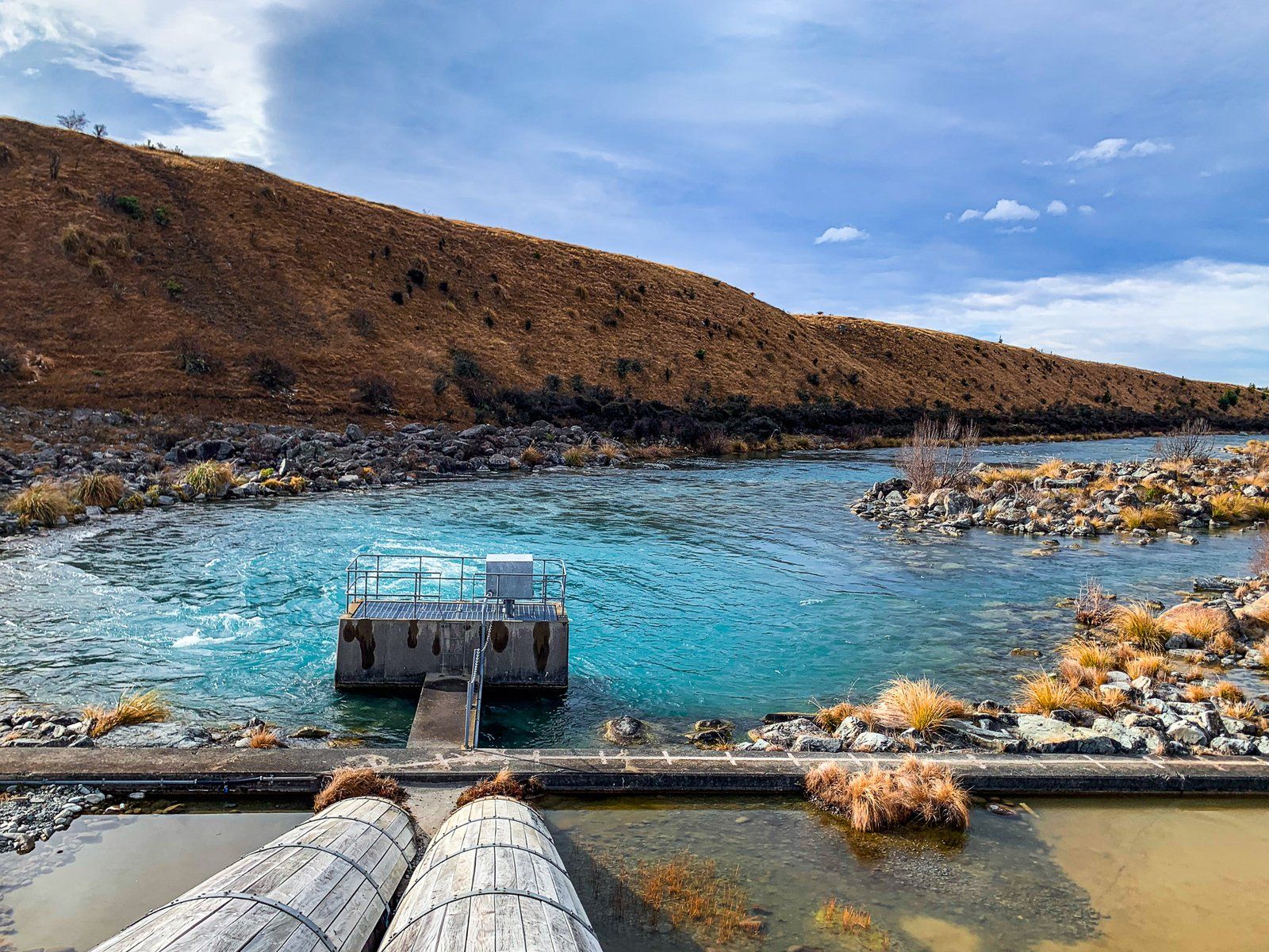
There are several other points of interest on the track. Māori Swamp is about three km along the track from Lake Ōhau Road. It is perfect for a stop and picnic. Towards the end of the track, you reach a weir at the Ōhau River outlet. This manages the water level in support of the Ōhau Canal, part of the extensive hydroelectric scheme in the Mackenzie Basin.
The track is also part of Te Araroa and of the A2O Cycle Trail between Mt Cook Aoraki/Tekapo and Ōamaru.
Tarnbrae Track
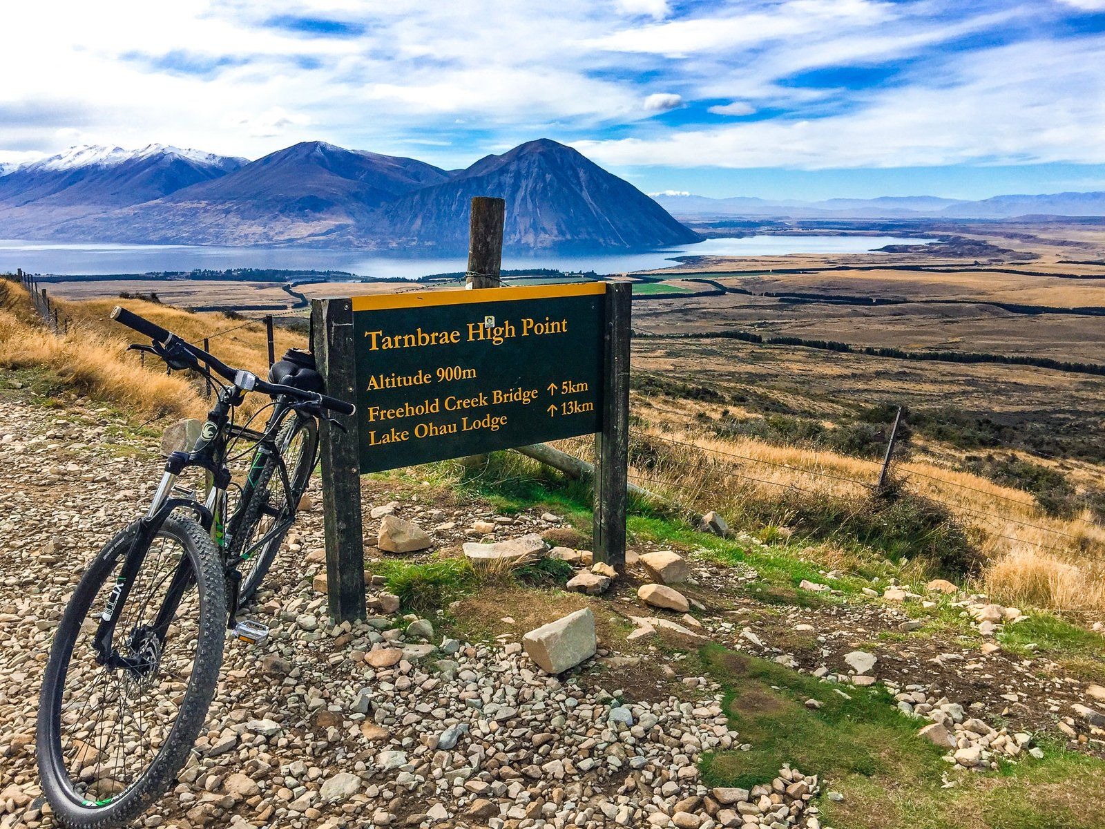
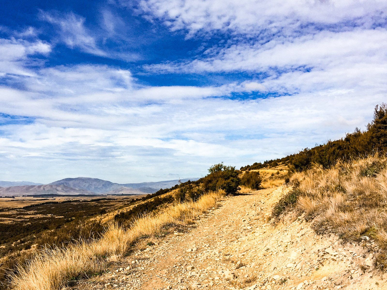
The Tarnbrae Track is 16 km long and runs from the Ōhau Lodge across the face of the Ōhau Range to Quailburn Road. It is best known as a section of the A2O Cycle trail, but it is also a relatively easy walk to the spectacular open views from the side of the Ōhau Range.
It rises from around 540 metres at Lake Ōhau Lodge to 900 metres at its highest point, 13 km along the track. The track starts in tussock grasslands, has a short section through remnant beech forest near Freehold Creek, and is mainly tussock to the high point. For most of the track, the views over the lake and the Mackenzie Basin are unobstructed and fabulous.
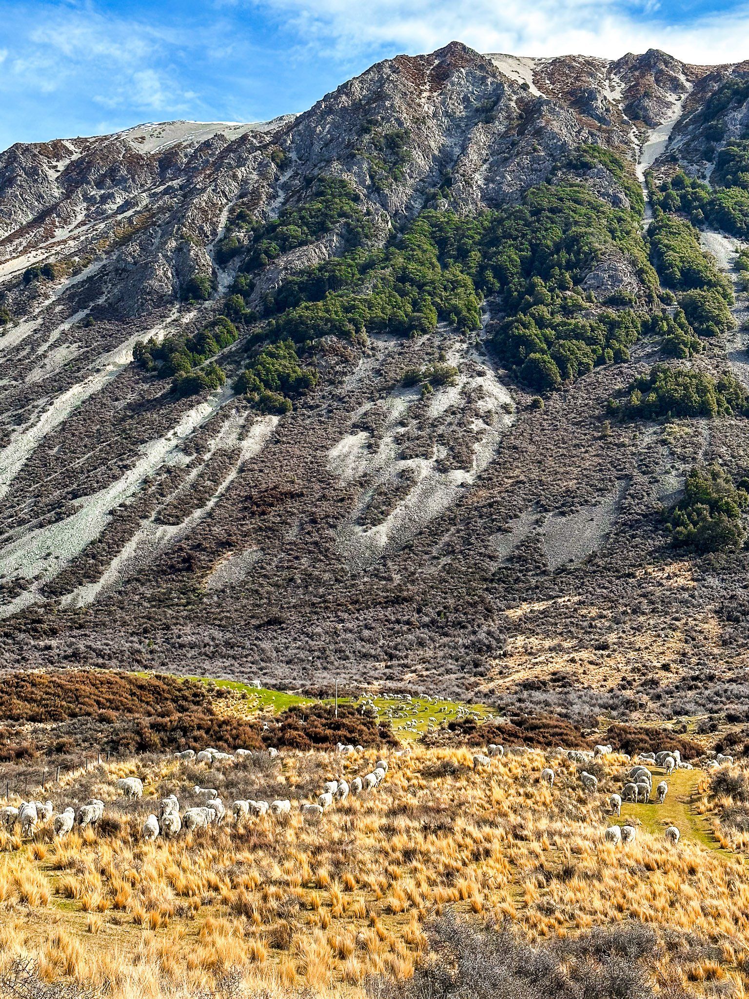
From the high point, the track drops quite quickly to the flats at the base of the range. The track then passes along the edge of the Ōhau Moraines Wetland for four km to Quailburn Road. There, you can take a short detour to the Quailburn historic site. There is a woolshed, sheep dip, homestead, and some hut ruins dating from 1866. These were part of Benmore Station, one of the largest sheep stations during the 1870s.
There is also a DOC campsite at Quailburn and the short Quailburn Track up the Quail Burn. This starts at the end of the road.
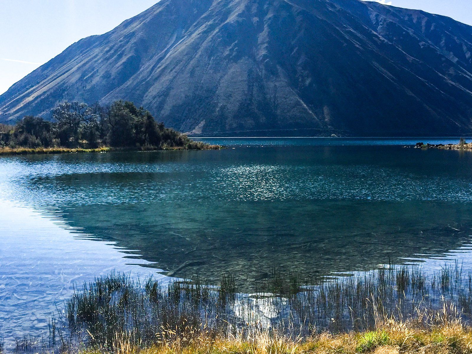
Lake Middleton
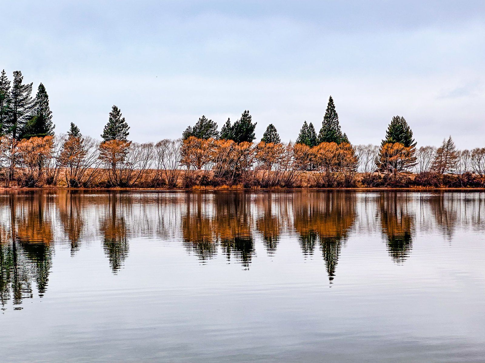
Lake Middleton is a 24-hectare picturesque lake at the southwest corner of Lake Ōhau. It is slightly higher than and separated from the main lake by a narrow strip of land. Lake Ōhau Road runs between the lakes, with a DOC campsite. Immediately to the north, on a rise overlooking Lake Middleton, is Lake Ōhau Alpine Village. The west, mountain-facing side is largely farmland with scattered tussocks.
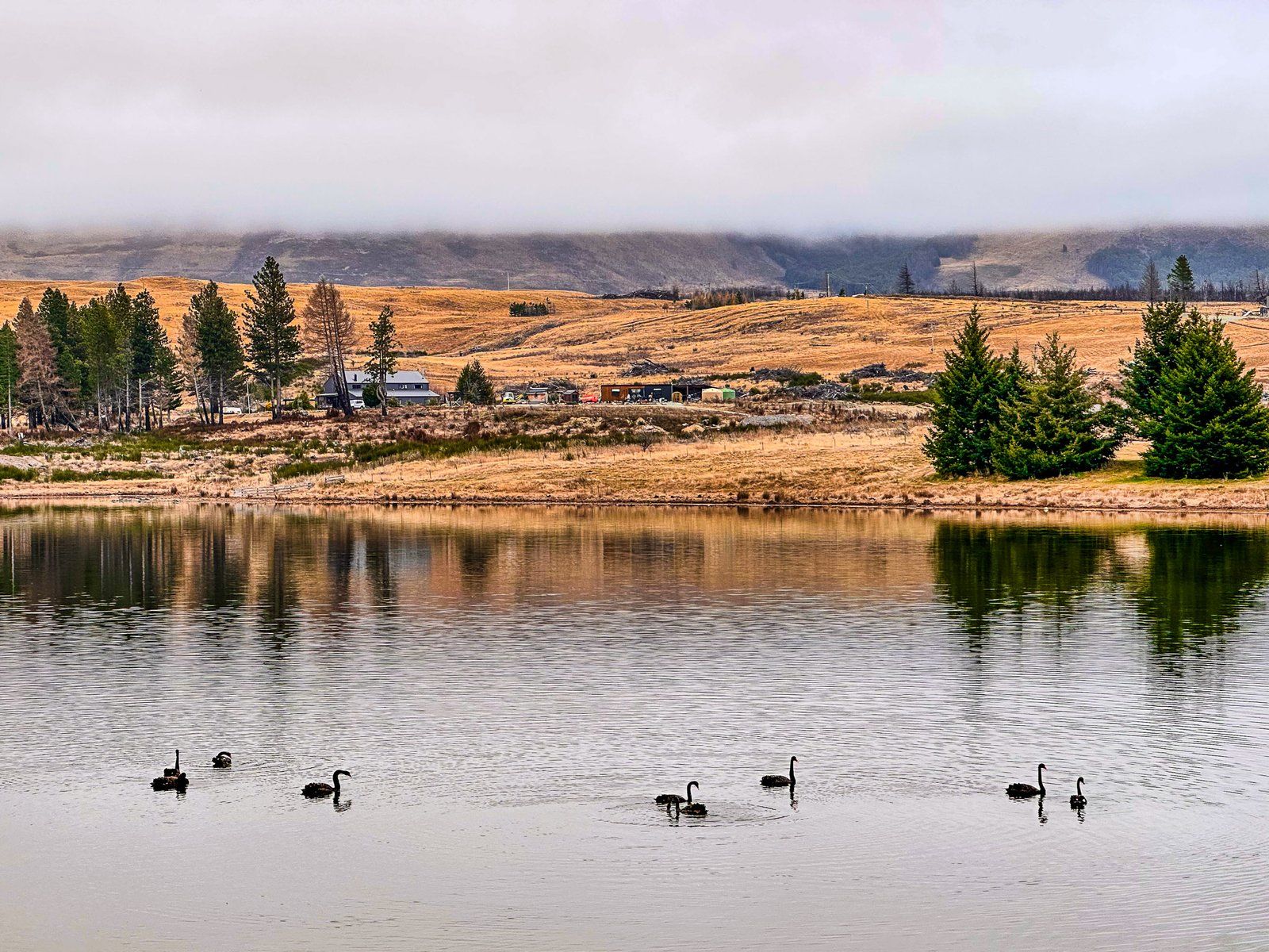
The lake is most popular during summer for boating and trout fishing. A wide range of water birds can also be seen around the lake.

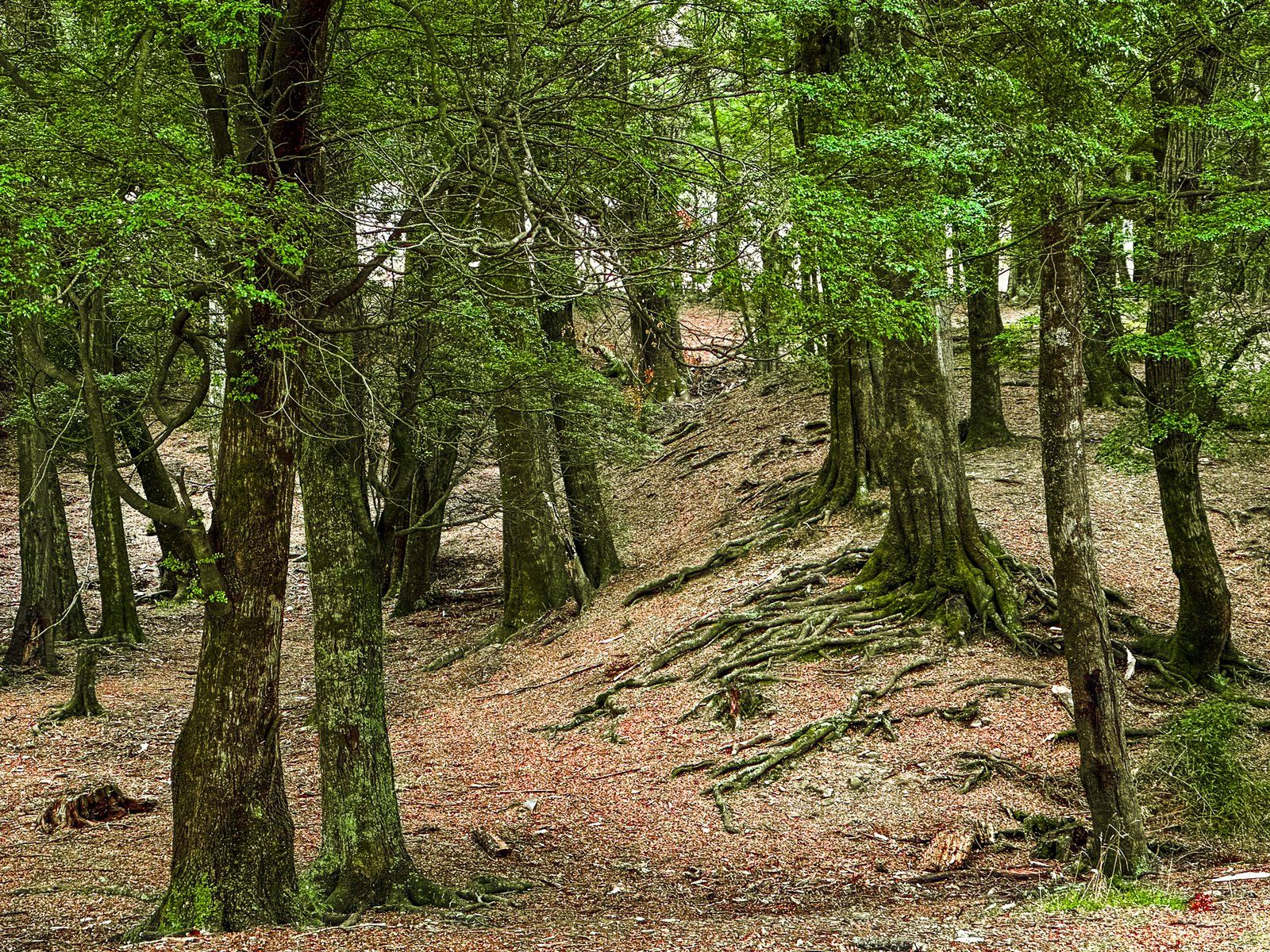
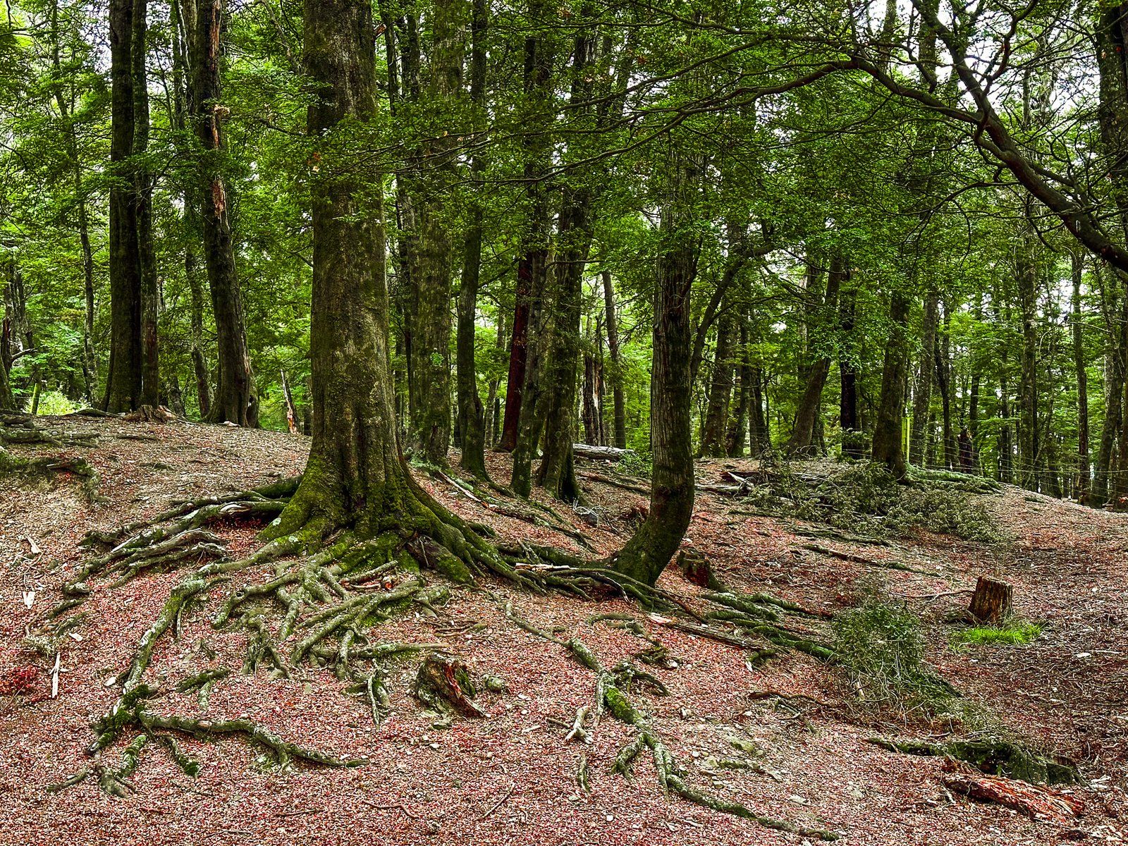
Round Bush Campsite
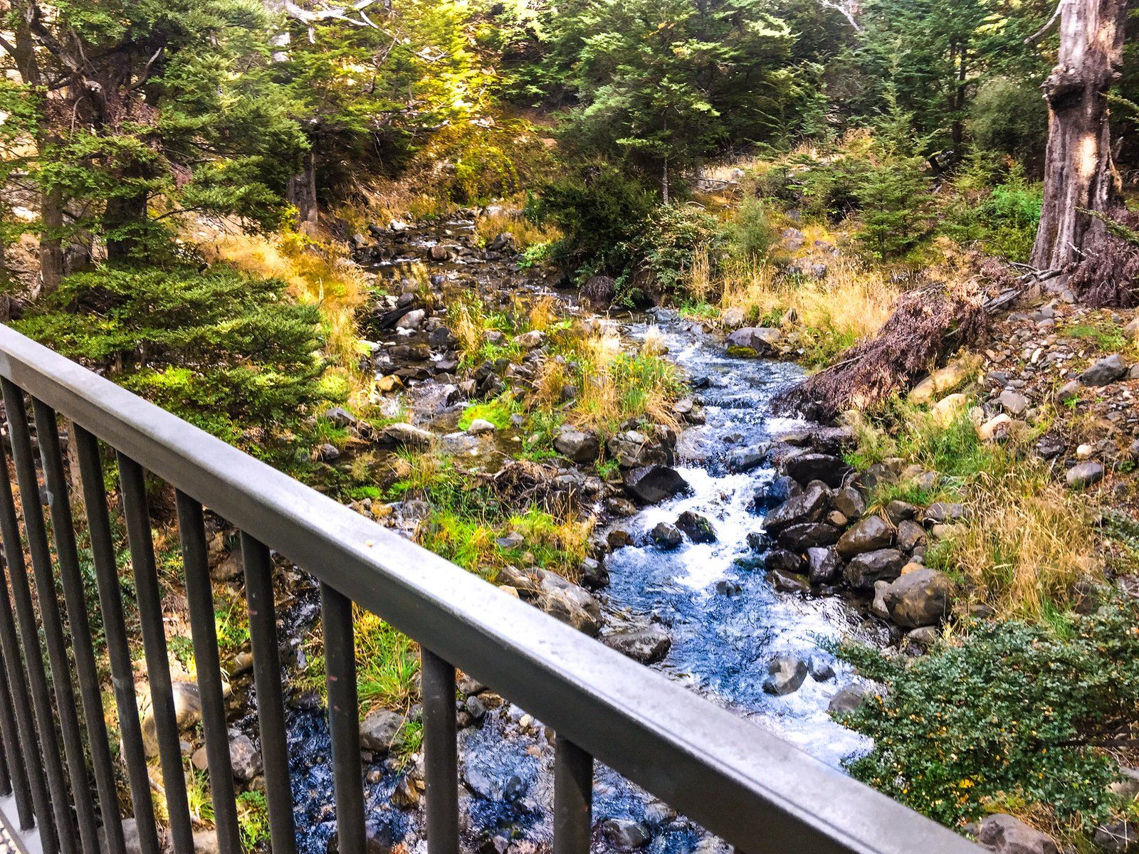
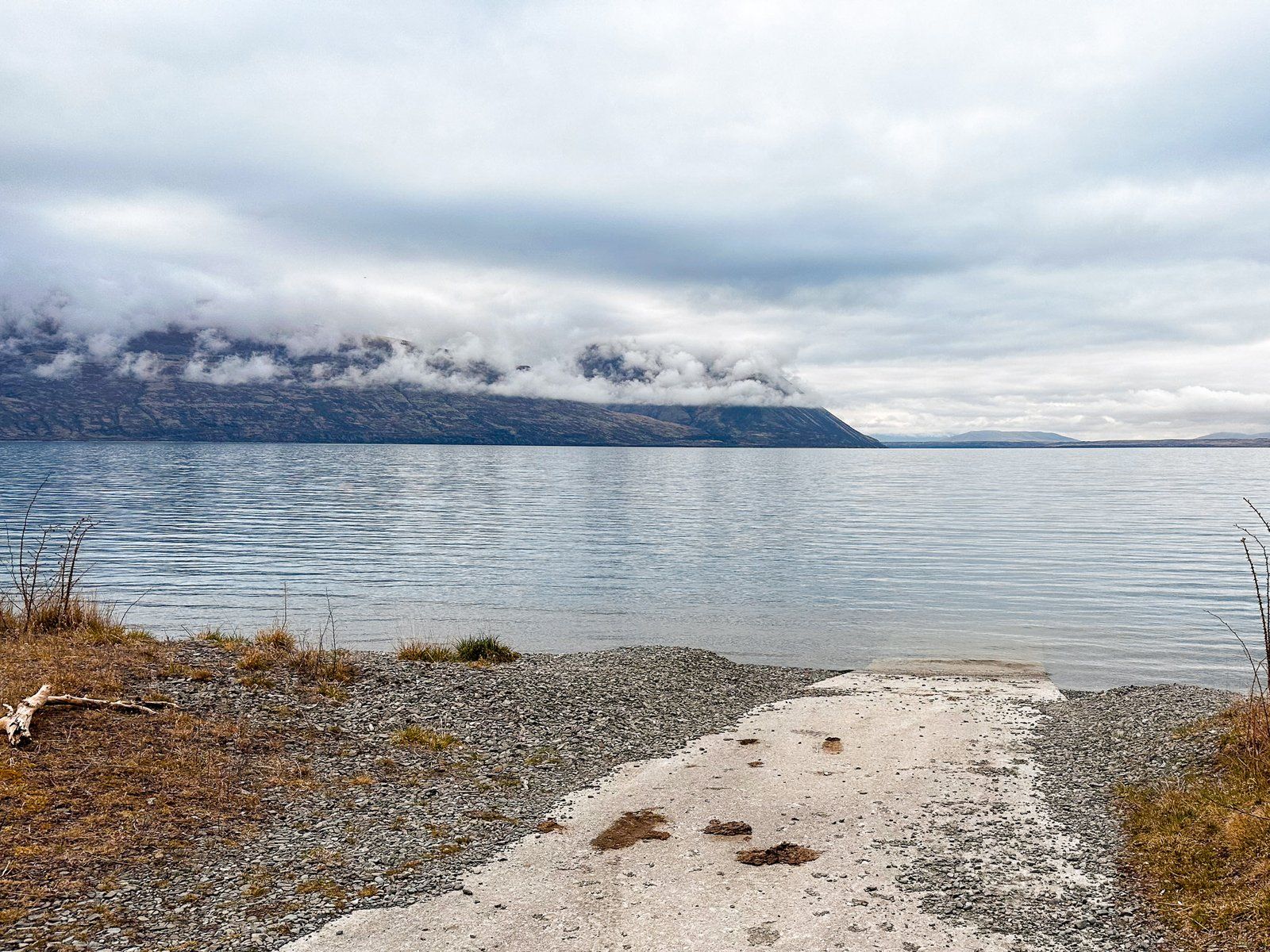
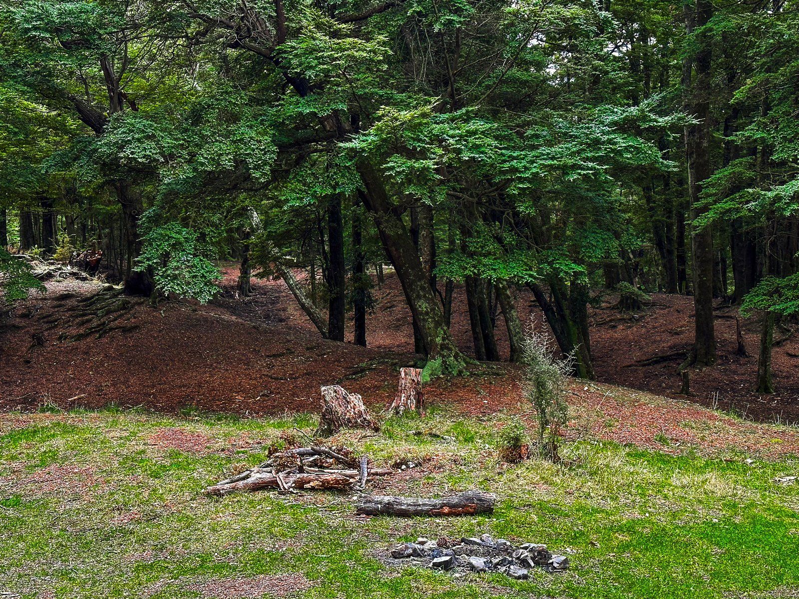
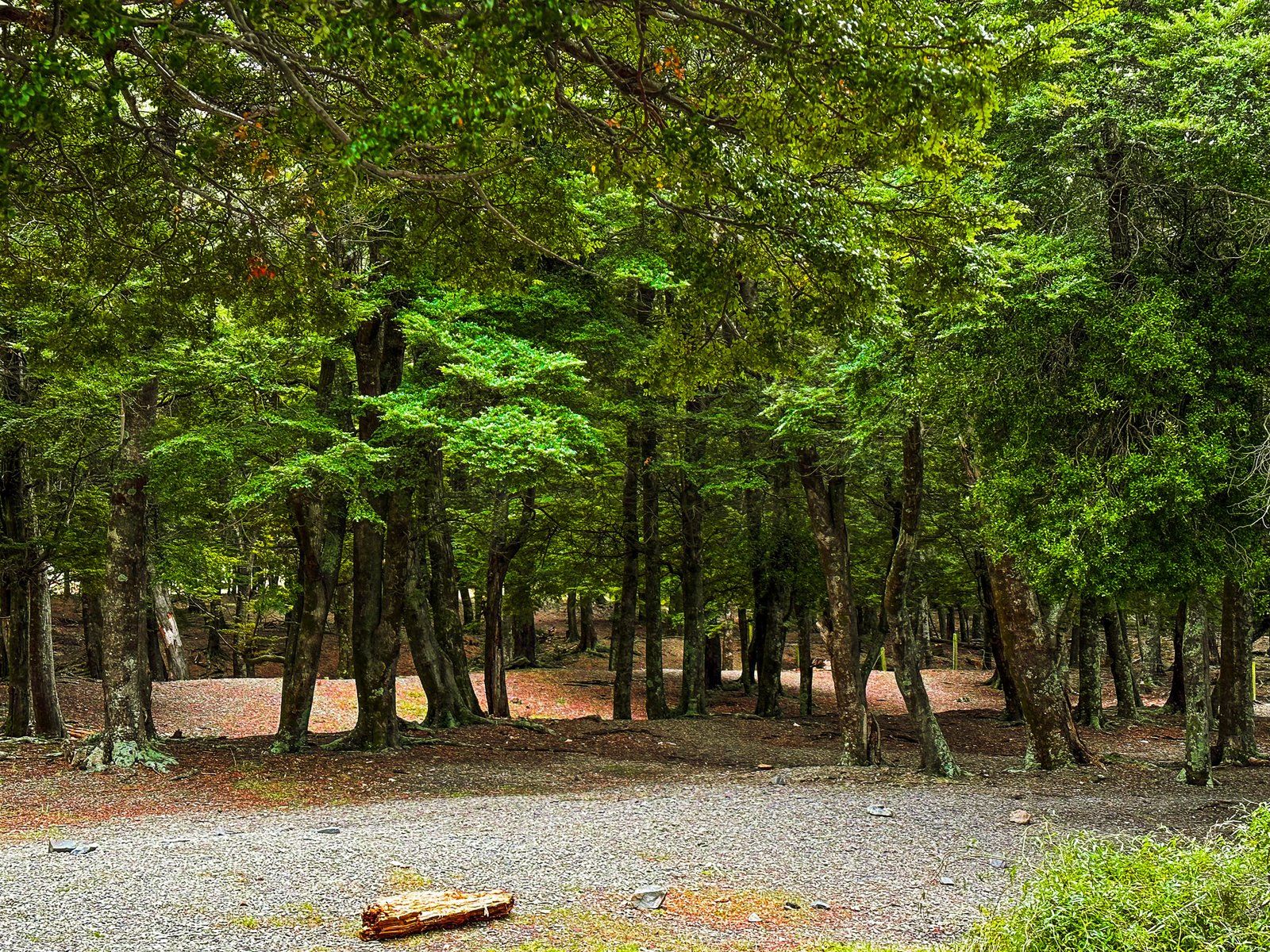
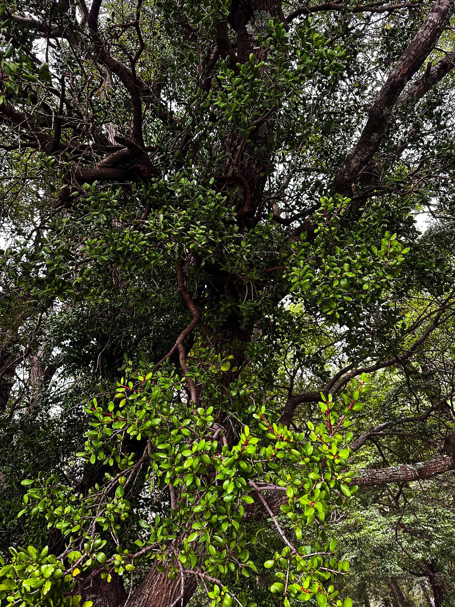
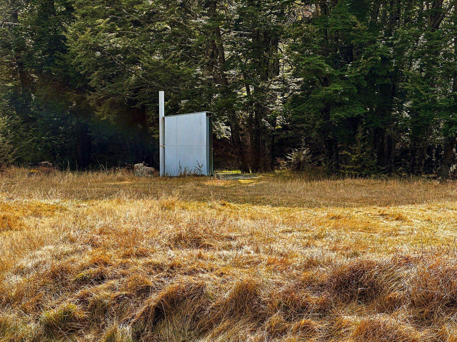
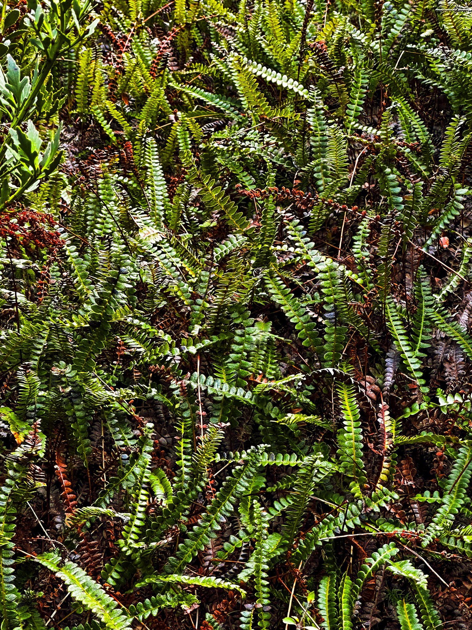
A feature of the beech forests around Lake Ōhau and the Hopkins Valley is native mistletoe or pirita in Māori. One of the easiest places to see these now rare plants in abundance is at the DOC Round Bush Campsite. The campsite is three km along Lake Ōhau Road on the shores of the Lake.
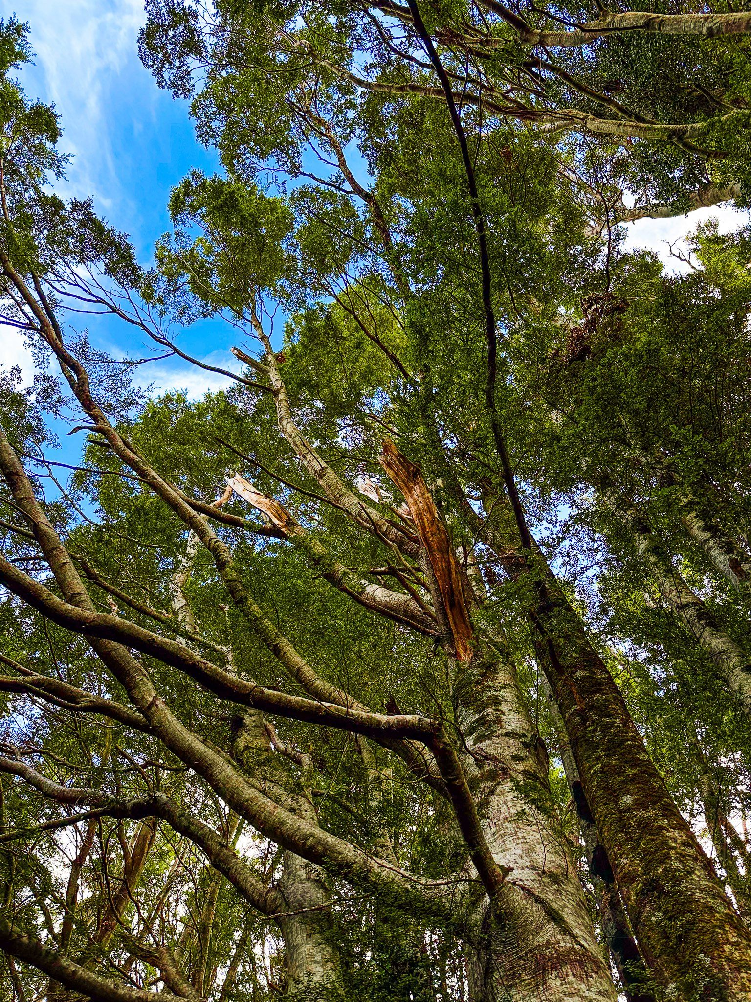
As you enter the campsite, an open area is on the lakefront to the right, with the lakeside beech forest to the left. There are some basic camping facilities, and a sign designates the forest as a pirita habitat. In some places, the height of the trees makes pirita tricky to spot, but here, many are at two to three metres. You will see large, well-established shrubs hanging from the trees as soon as you walk into the forest. The best times for flowering are December and January.
There are three types of pirita in the region. These are scarlet mistletoe (Peraxilla colensoi), red mistletoe (Peraxilla tetrapetala) and yellow mistletoe (Alepis flavida). As with other mistletoes, pirita are a parasitic plant that grows on trees. Beech trees are a particularly popular host, and pirita was once widespread in NZ beech forests. Sadly, pirita has been a major victim of browsing by invasive animals, especially possums. But around Lake Ōhau, the Ōhau Conservation Trust has been active and successful in protecting pirita.
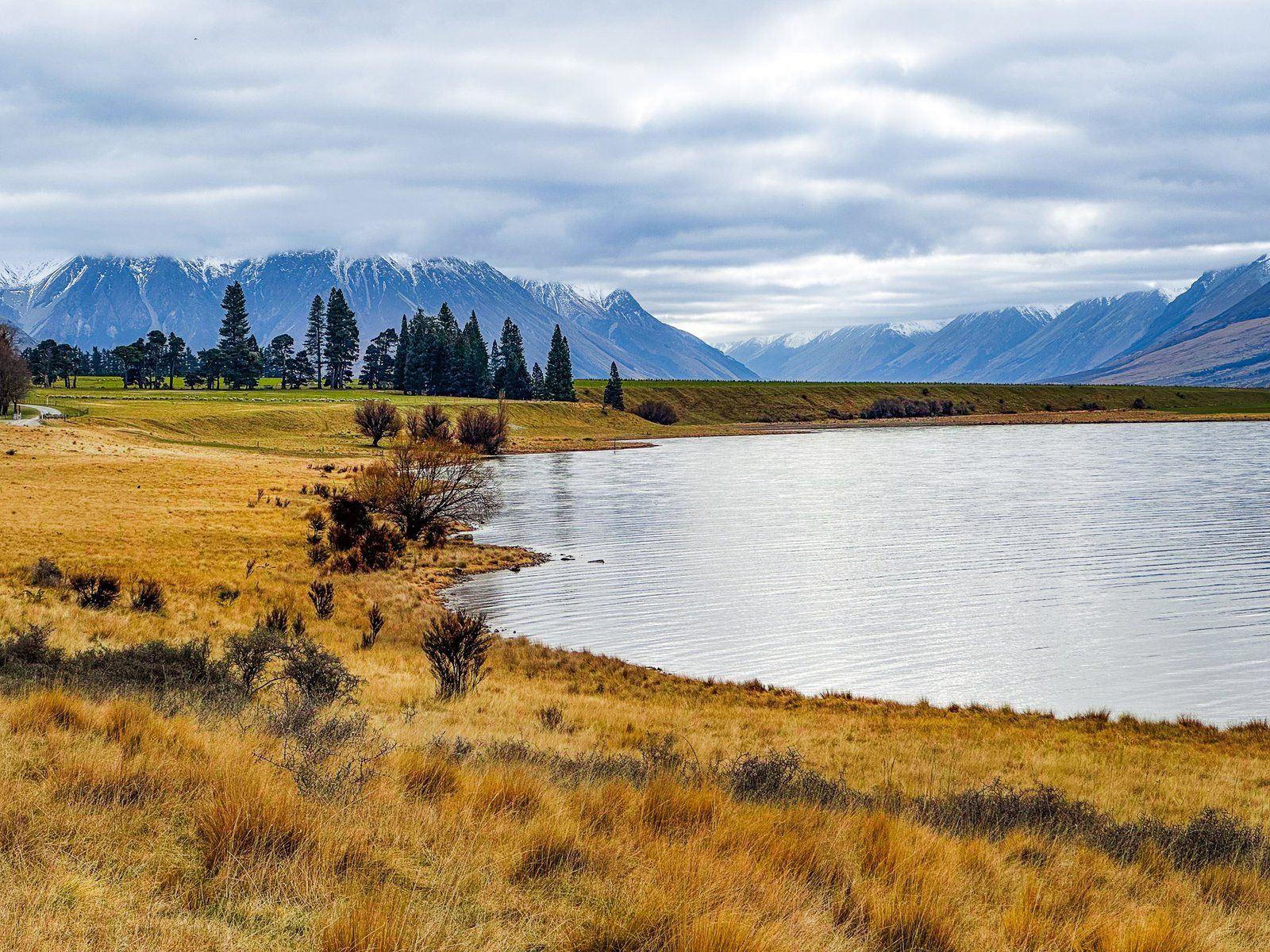
Hopkins Valley
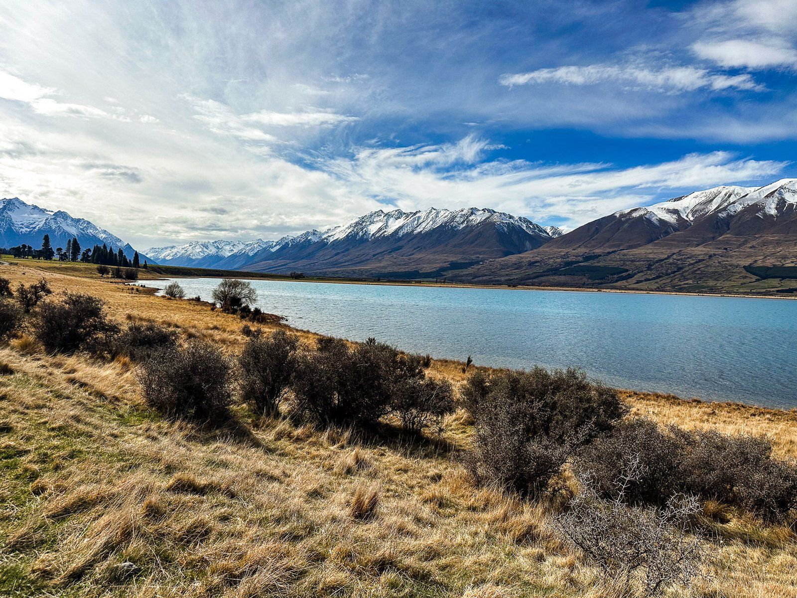
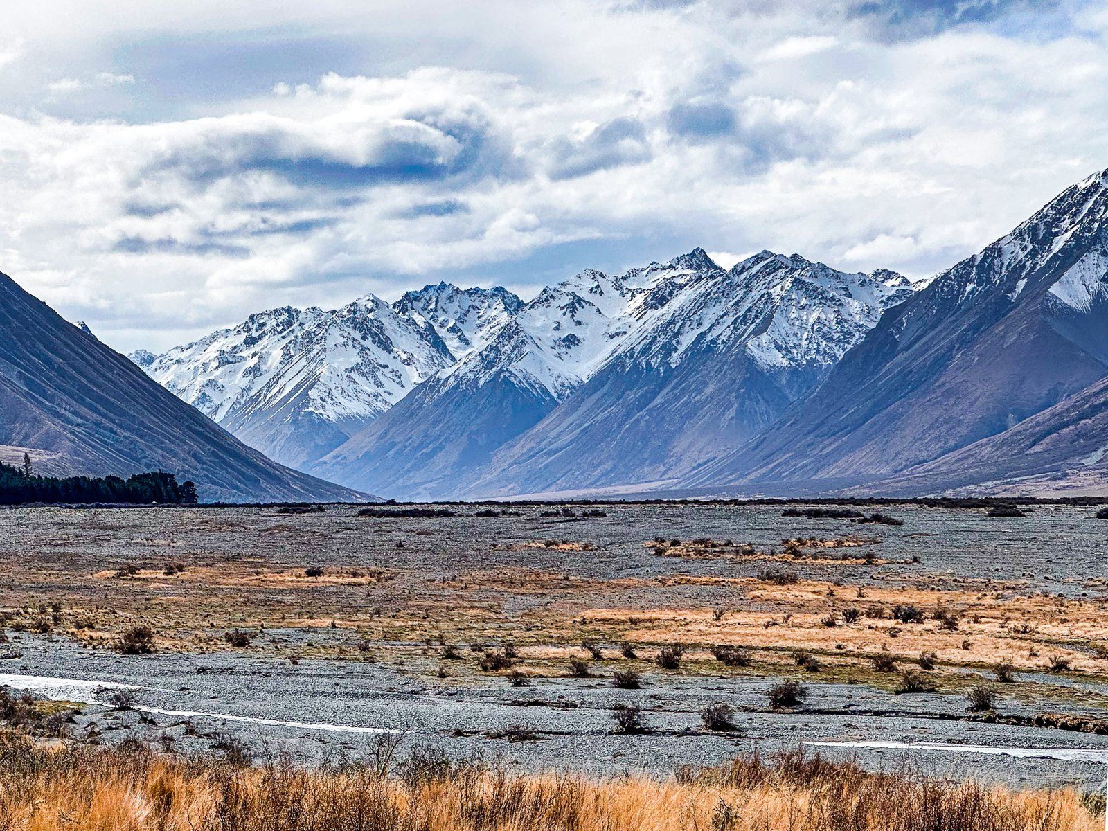
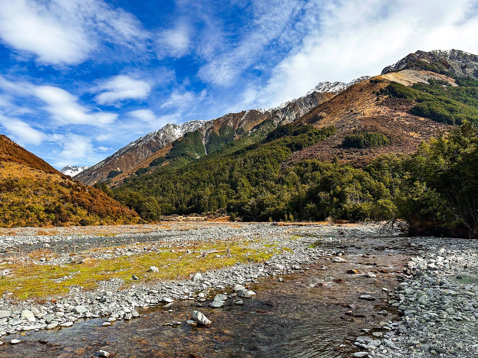
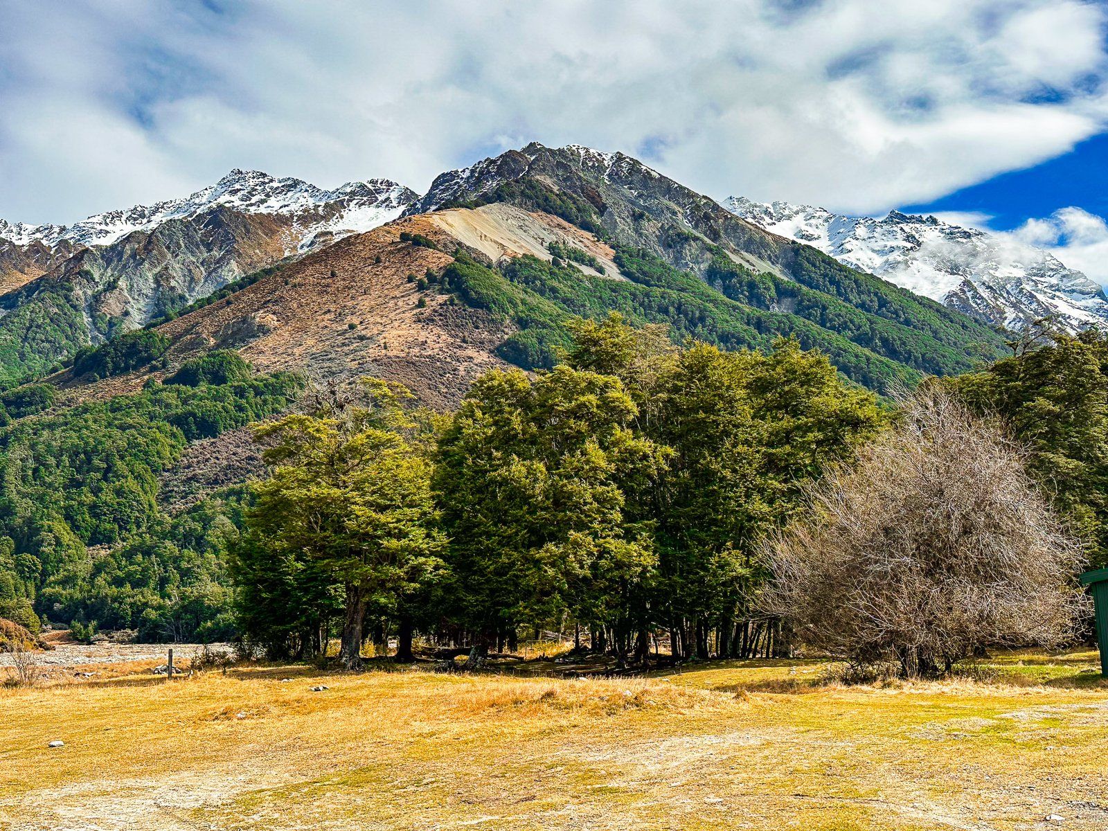
The Hopkins Valley is a post-glacial braided river valley at the head of Lake Ōhau, up to four km wide. It runs almost due north for about 12 km. It then splits, with the Dobson Valley and River to the east of the Naumann Range and the Hopkins Valley and River to the west.
The Hopkins is accessible on metal Lake Ōhau Road, which runs into the valley for about 21 km. This provides access to various short and multi-day hikes in the Hopkins and the connected Temple and Huxley Valleys. There are DOC campsites and huts in all of the valleys. You can also get up the Hopkins beyond the road end with a 4WD as far as Erceg Hut. Once you get beyond the sheep station, you are in the Ruataniwha Conservation Park.
There are several remote huts for a trip up the Hopkins Valley, including Monument Hut, Red Hut, Elcho Hut, Dodger and Erceg Hut. By the time you get to Erceg, you will have hiked for about 32 km. You will be just several km south of 2,000+ metre peaks on the Main Divide, topped by Mount McKerrow at 2,650 metres.
A shorter trip from the road end is to the Huxley Valley, which branches off the Hopkins Valley to the west a bit over four km north of the road end. There are two huts. Huxley Forks Hut is at the intersection of the valley with its north and south branches, and Brodrick Hut is at the top of the north branch of the Huxley Valley.
If you don’t want to go as far as the end of the road, take the turnoff from Lake Ōhau Road to signposted Temple Campsite and Valley. This is about six km north of the top of the lake.
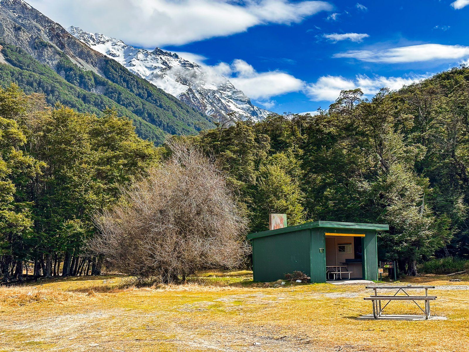
Temple Campsite and Tracks
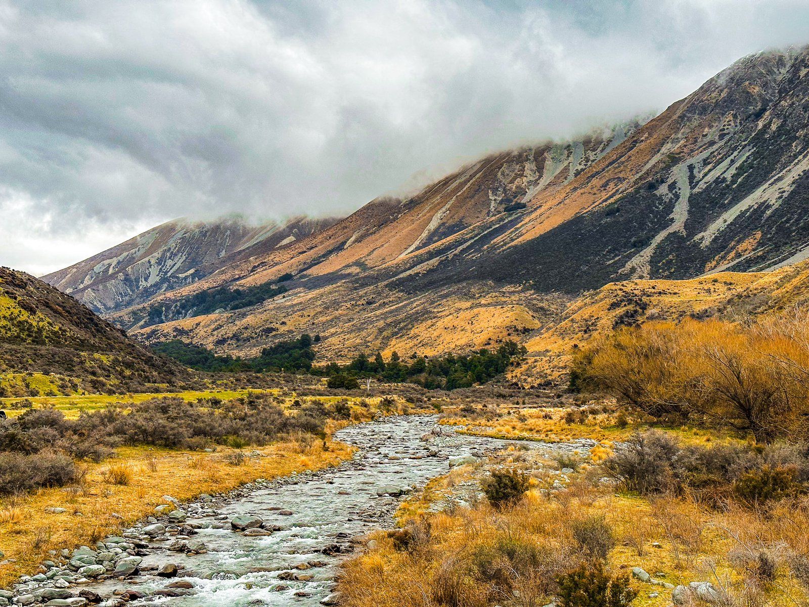
Temple Campsite is a beautiful DOC location in Ruataniwha Conservation Park. It is located beside Temple Stream, nestled between Ram Hill to the north, Shingle Hill to the south and 2,200-metre Steeple Peak to the west. Access is from Lake Ōhau Road, north of Lake Ōhau. The entrance to the campsite is mostly open grassland, with excellent views of the surrounding mountains and the Ben Ōhau range on the far side of the Hopkins Valley.
Access to the walking tracks in the North and South Temple Valleys is on the west side of the campsite, beyond the shelter. Follow the marked track and cross the stream where it forks between North and South Temple.
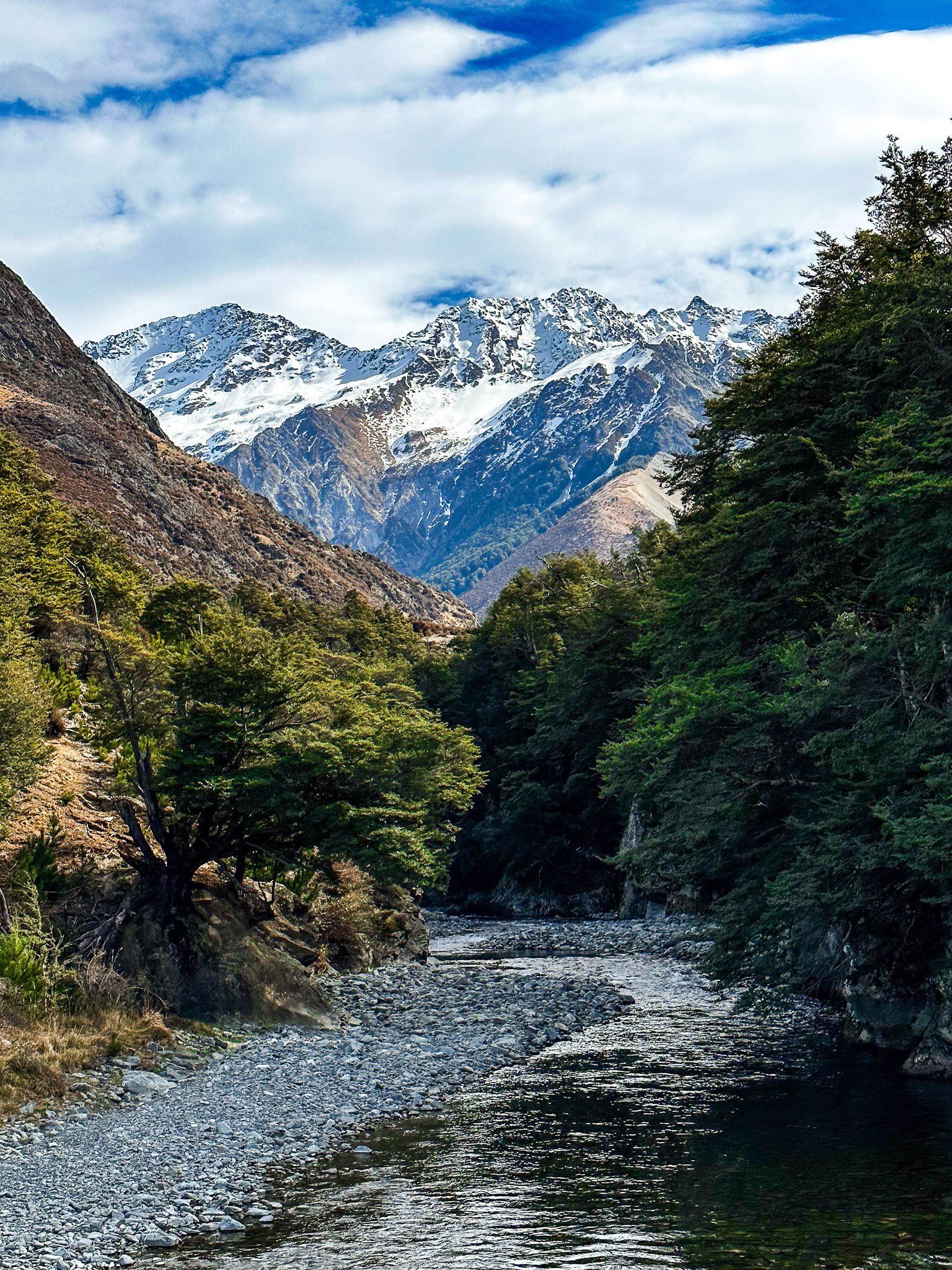
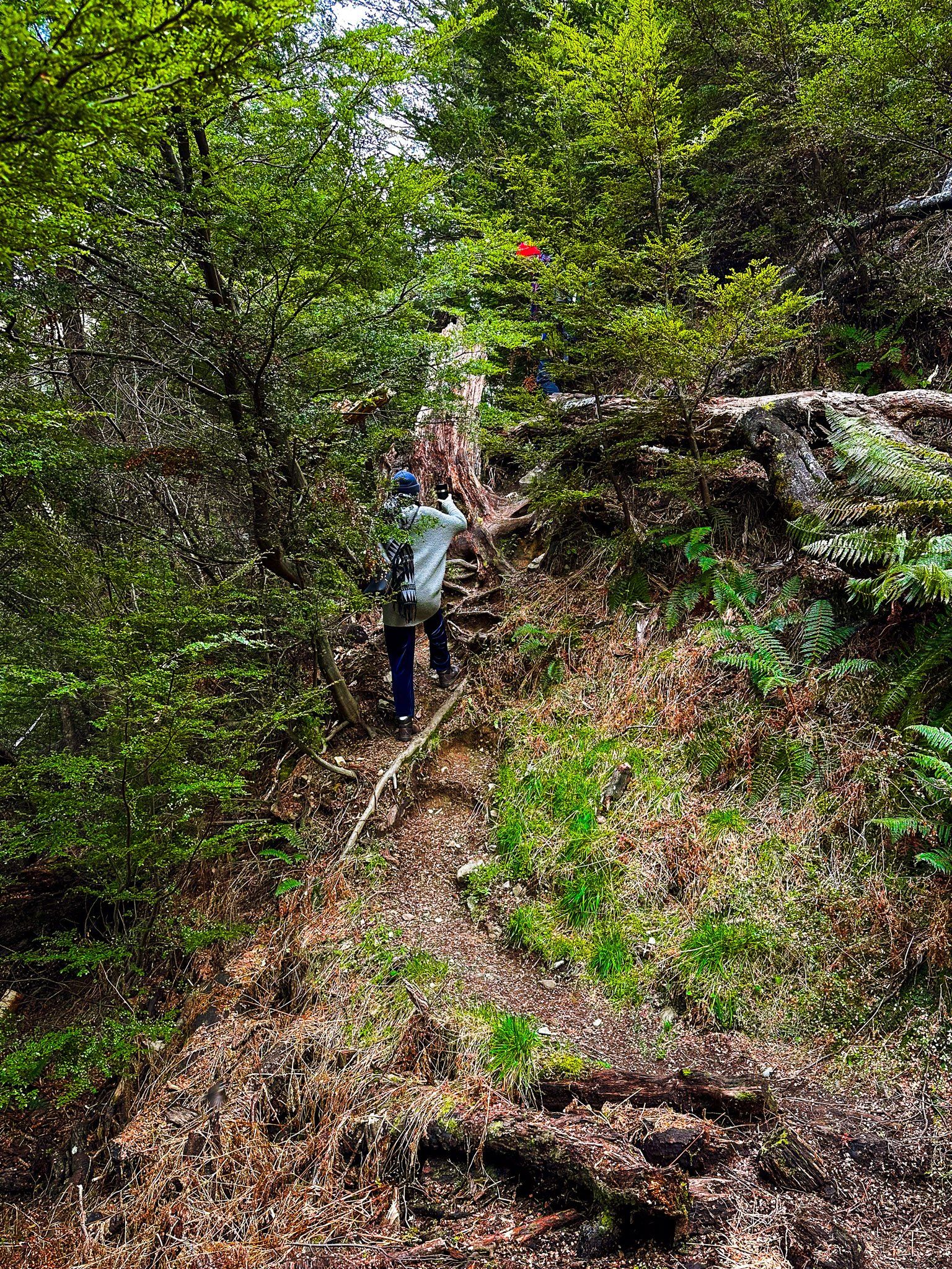
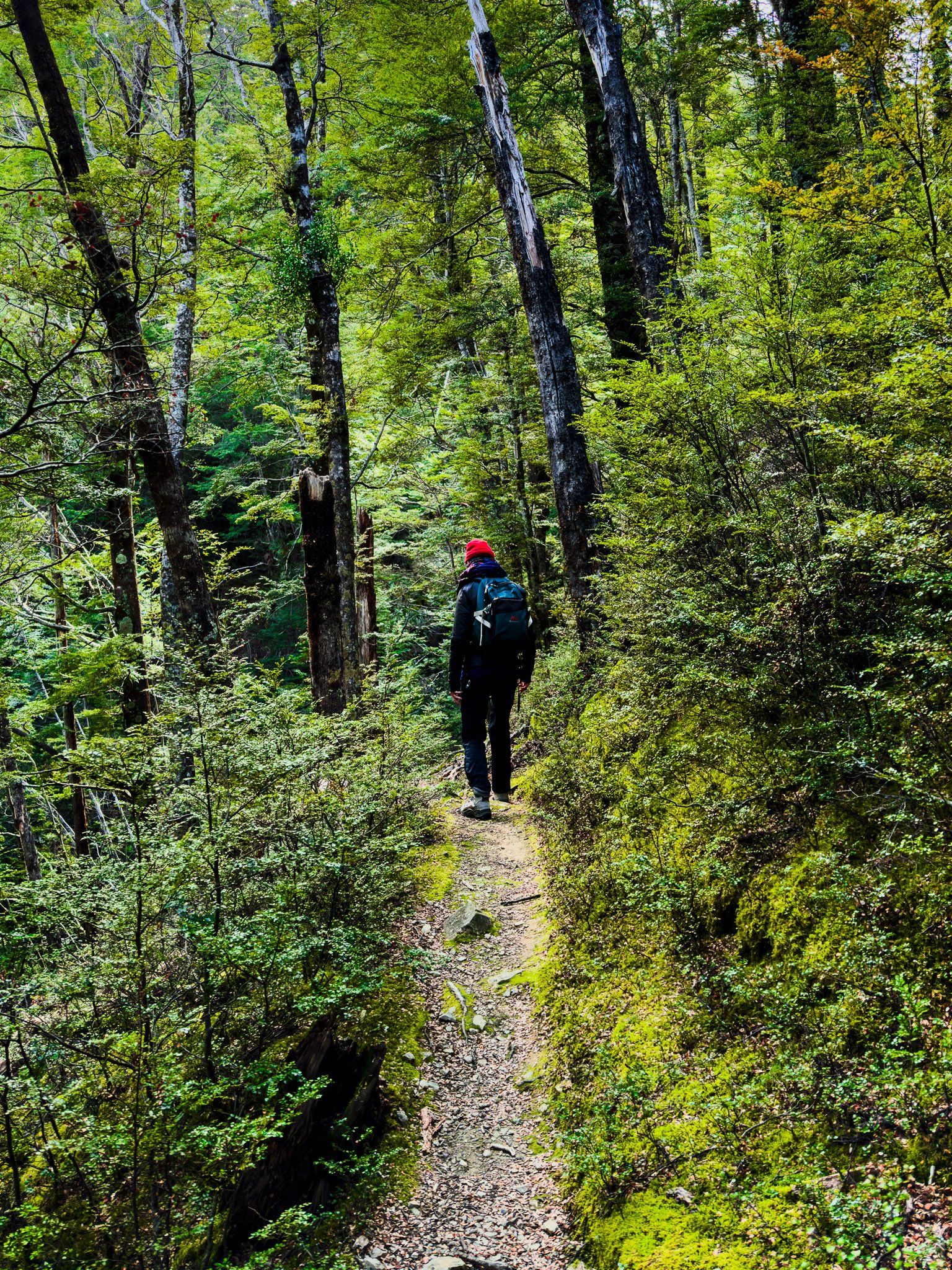
The North Temple Track takes about two and a half hours each way (ten km return), and is easily doable as a day walk. After crossing North Temple Stream near the fork, the track is mainly in the beech forest margin next to the stream. It climbs from 600 to 950 metres and ends at a cirque basin, dominated by Temple Peak at 2,289 metres. The sides of the basin are steep and over 1,000 metres above the entrance to the cirque.
South Temple Track to South Temple Hut is longer at seven and a half km one way, starting from the fork and climbing to 800 metres. Storms have damaged this track, but is still doable as an in-and-out day walk at three to four hours each way. If you have more time, you can stay at the hut and walk another five km north along the Upper South Temple Track towards Temple Peak. You must cross the stream to reach the hut, so be careful after rain.
For experienced trampers, you can connect the tracks via Gunsight Pass, which is 1,900 metres high between Belfry and Bruce Peaks. This steep climb up rocky/scree slopes is best taken north from the cirque to south. Take care and allow two days with a stay in South Temple Hut.
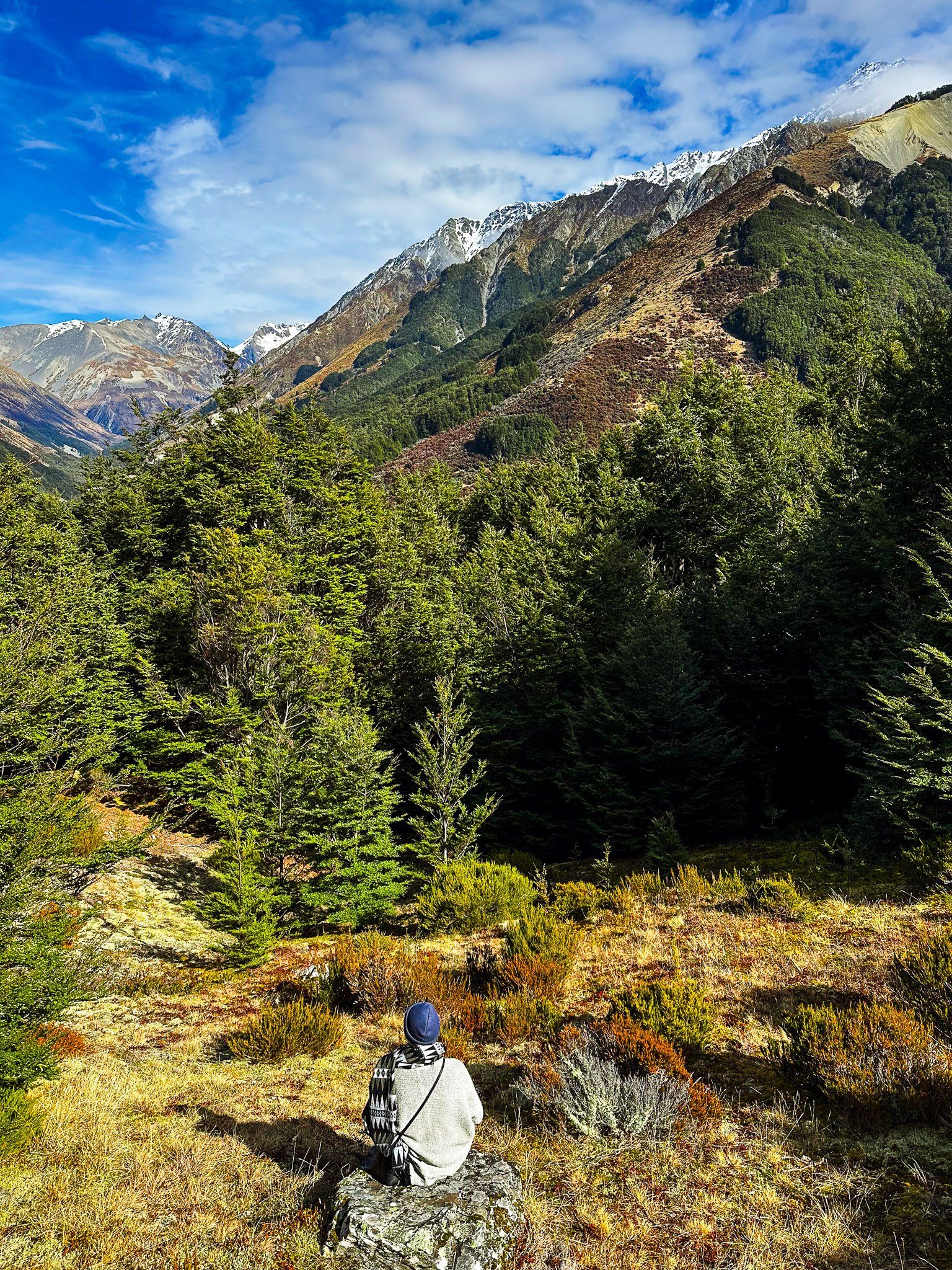
Temple Viewpoint Track
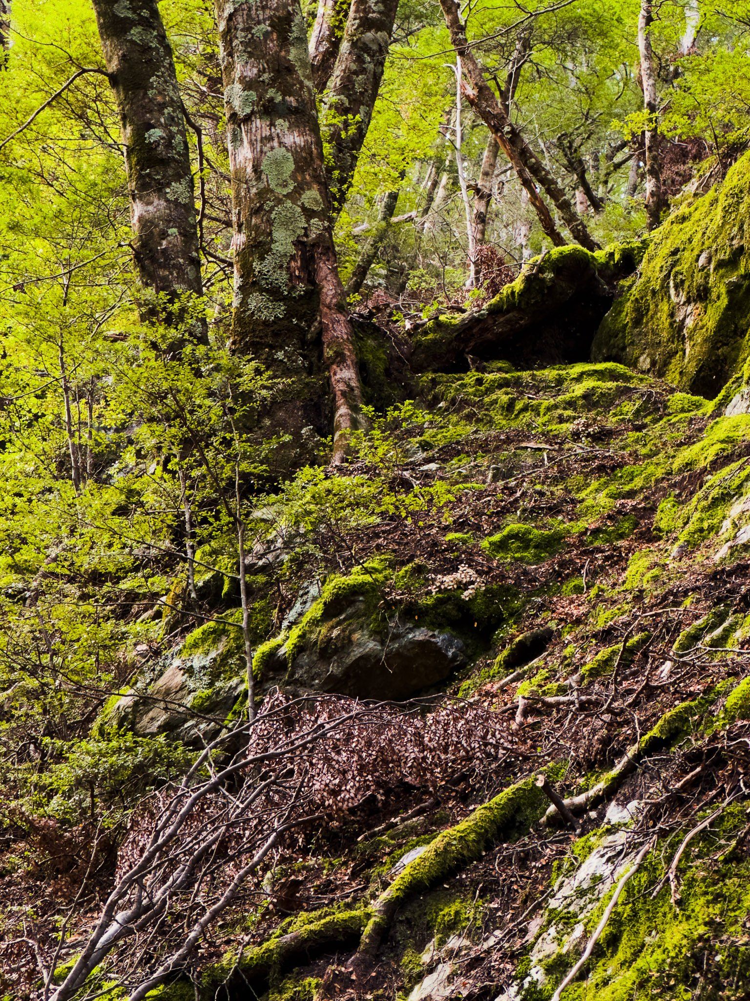
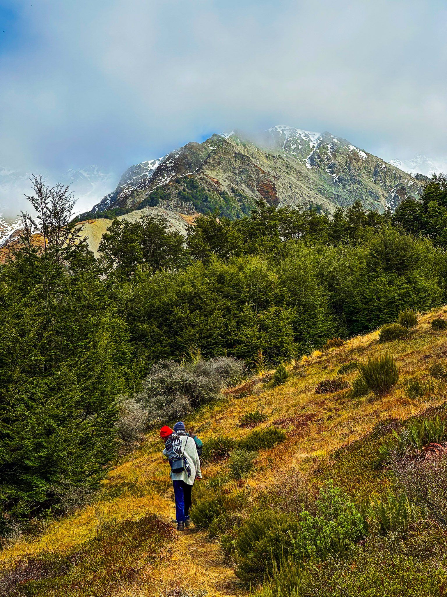
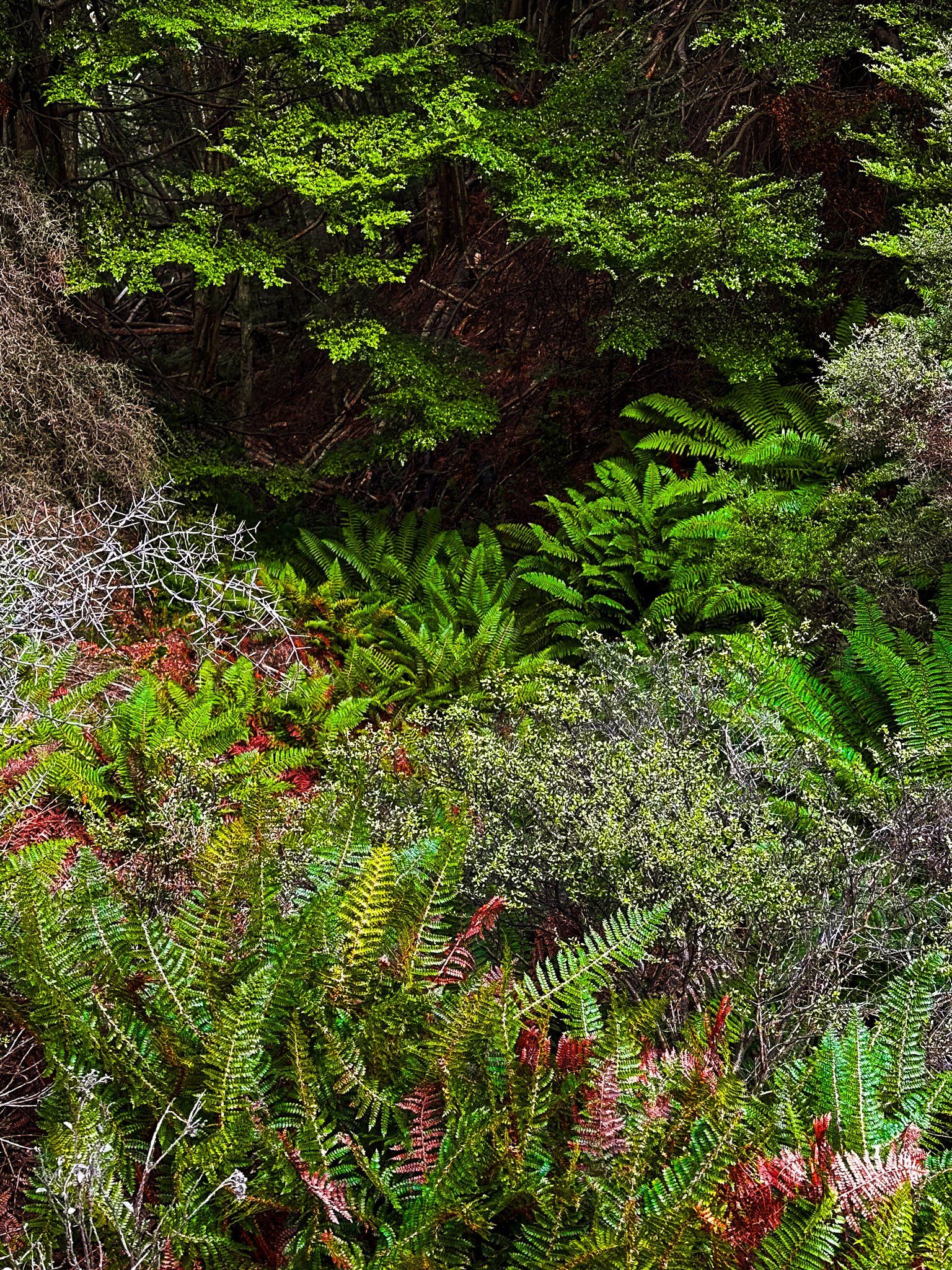
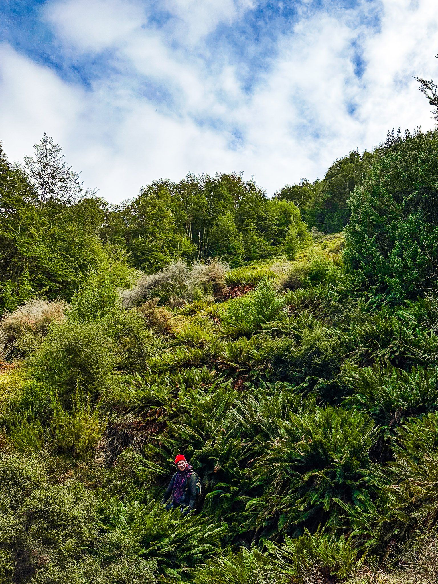
Temple Viewpoint Track is a one-hour loop on the side of Ram Hill. It starts immediately north of Temple Campsite and car park in Ruataniwha Conservation Park. Follow the sign near the Campsite shelter to the start of the track. From there, it climbs 120 metres through a beech forest, with some steep steps and tree damage in places.
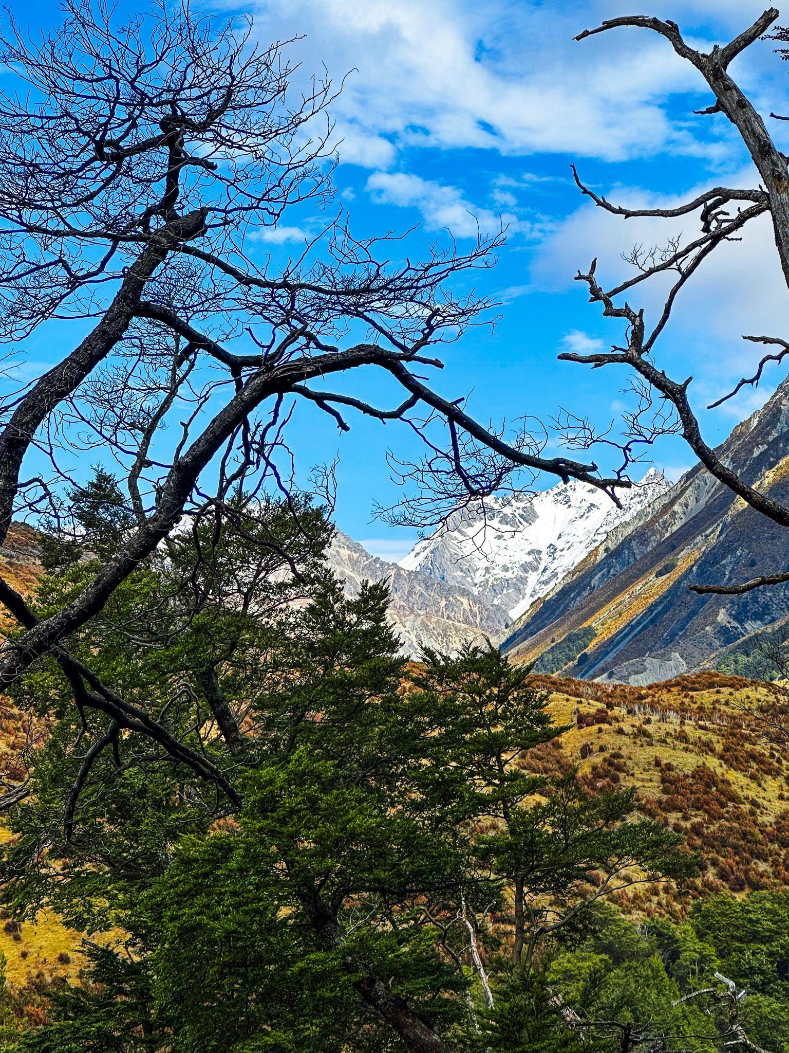
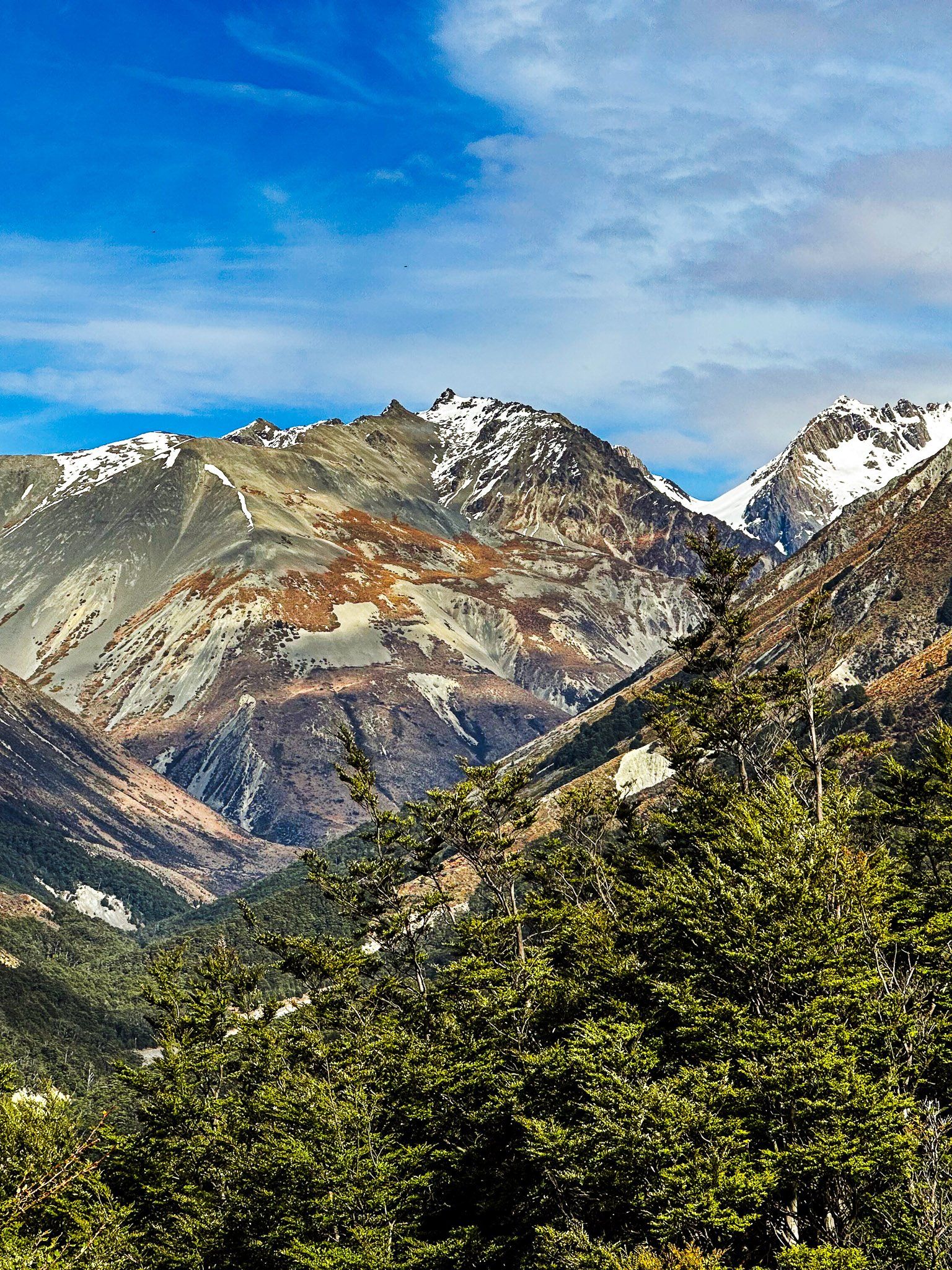
At the top, it crosses several open areas dominated by highland shrubs and bushes. This includes a particularly stunning section of bracken ferns. These open areas also provide fabulous views up Temple Valley to Steeple, Belfry, and Temple Peaks and across the Hopkins Valley to the Ben Ōhau Range. The various peaks are over 2,000 metres and have some snow coverage from autumn through spring.
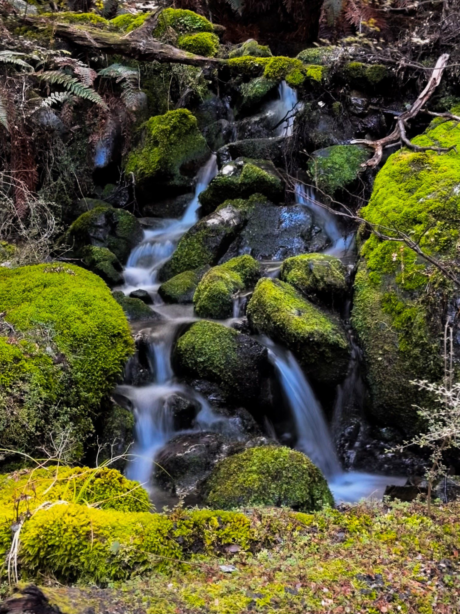
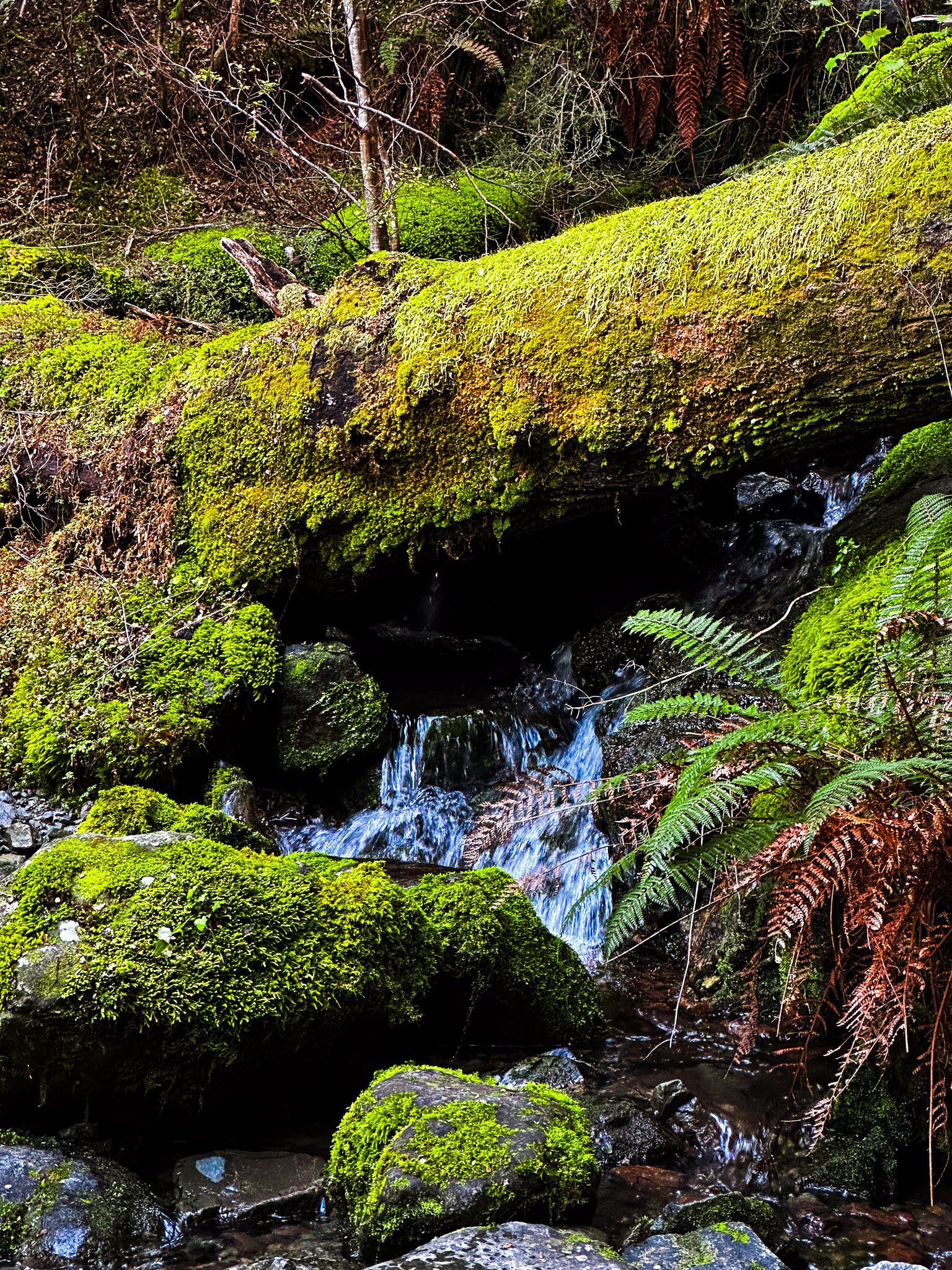
You re-enter the beech forest coming down the west side of the loop. This section of the track part is wetter, winding above and crossing a modest stream. There are small waterfalls with moss-covered rocks. At the bottom, it is a short walk near Temple Stream back to the campsite.
Want more South Island Trip Ideas?
Check out our blogs series Remote Drives in Otago and Canterbury: Ahuriri Valley, Tarras to Lindis, and Old Dunstan Road.