Exploring Glacier Burn and East Matukituki
Located in the scenic Mount Aspiring National Park area, the Glacier Burn Track and East Matukituki Track offer a unique hiking experience. These tracks provide stunning views of the East Matukituki Valley, surrounded by majestic mountain ranges, including the Mt Aspiring massif. The walk begins with an adventurous river crossing, making it a memorable experience for hikers.
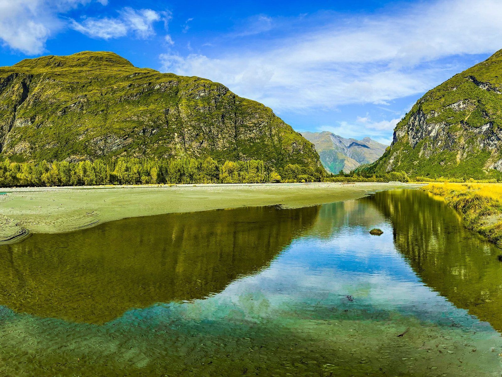
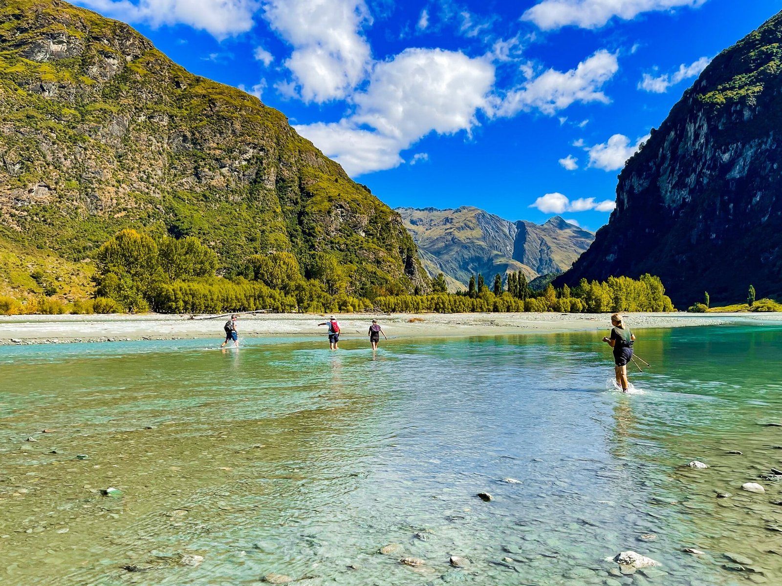
Crossing the Matukituki River
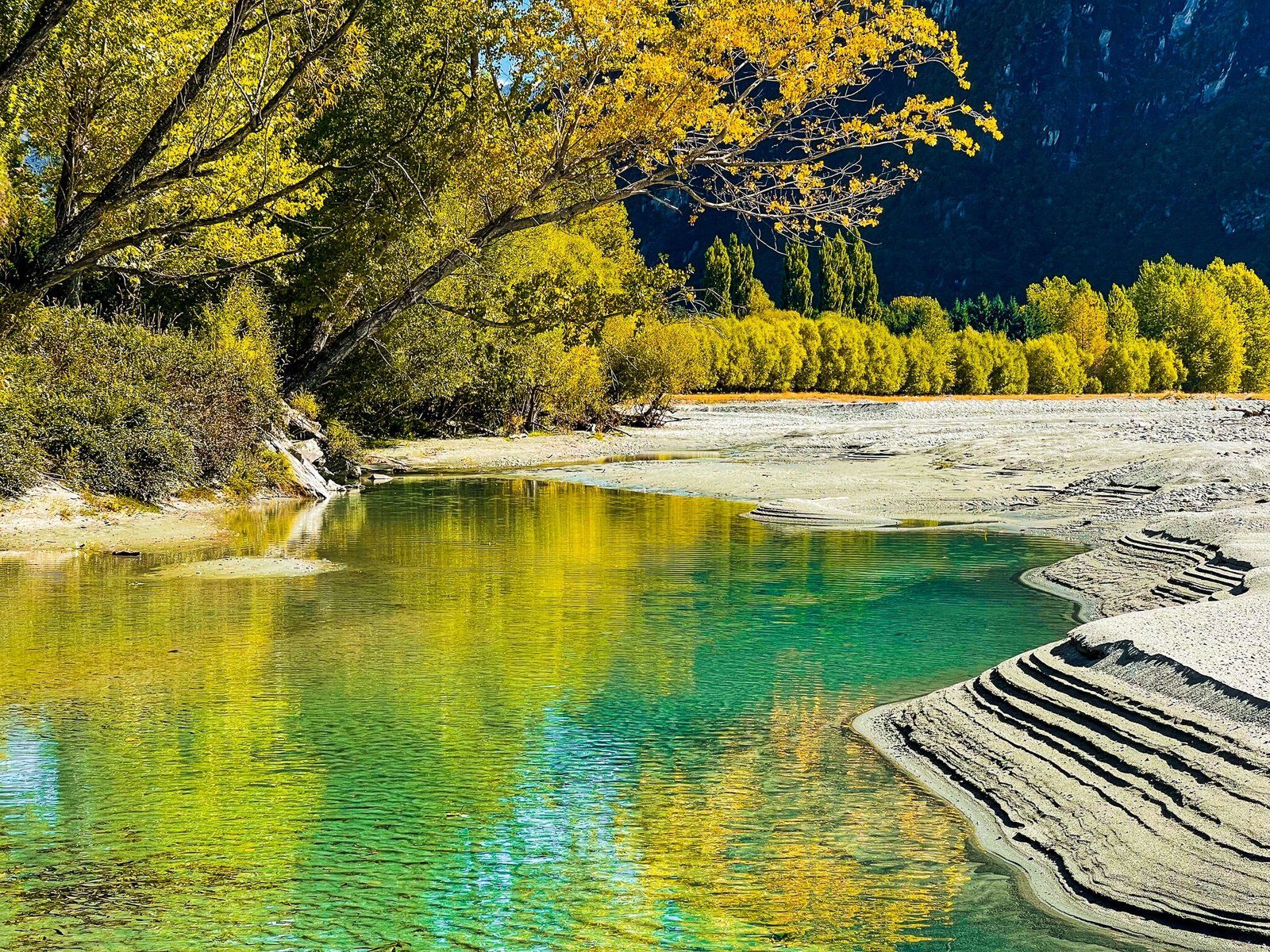
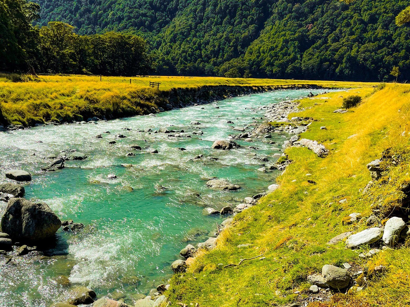
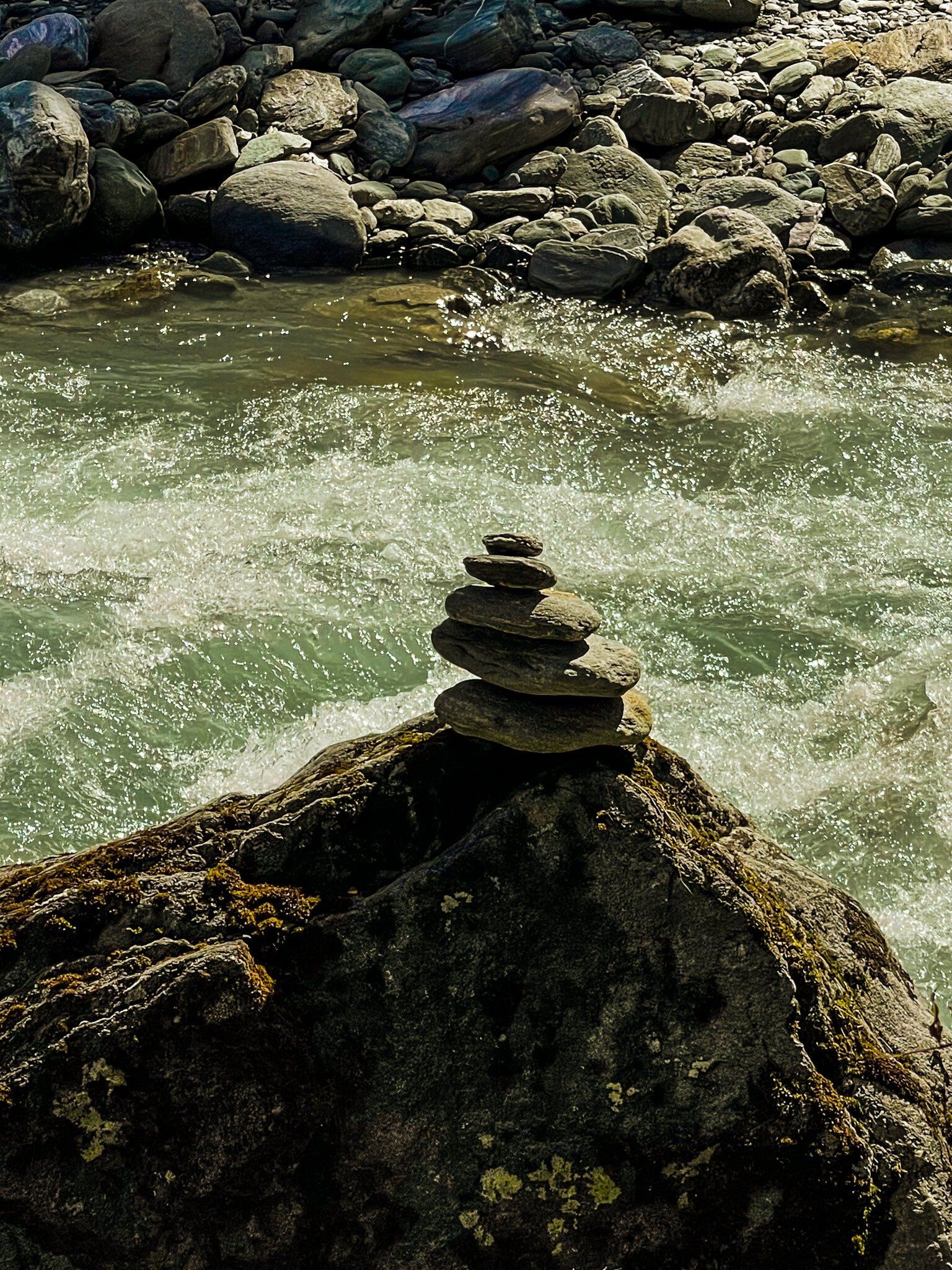
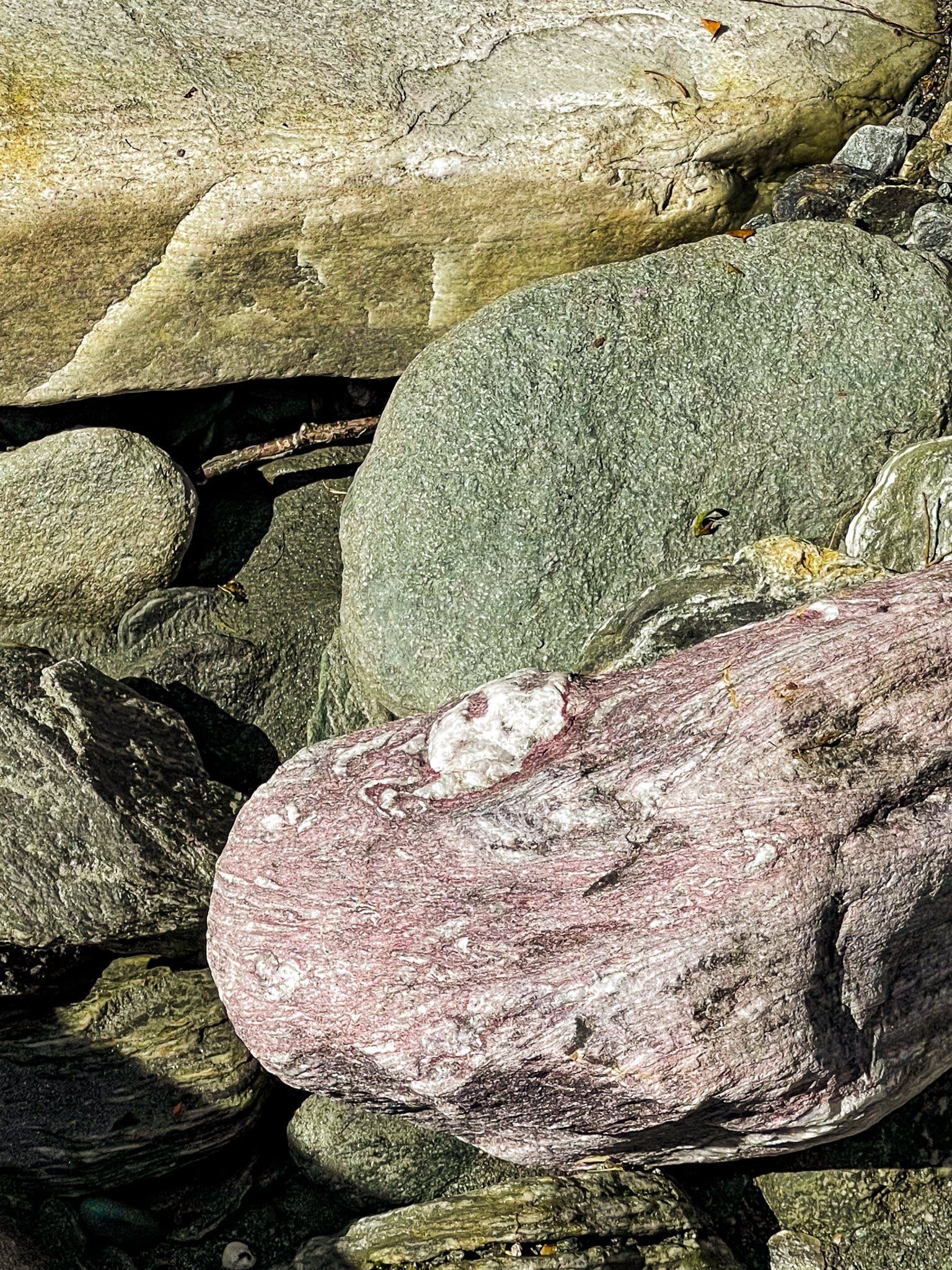
Begin your hike at the Cameron Flat car park, where you'll need to cross the Matukituki River. The river's depth varies, ranging from knee to waist deep, depending on the time and place of crossing. During summer and autumn, the water temperature is manageable, but caution is advised. The river is braided, with several sections divided by gravel.
Walking the East Matukituki Track
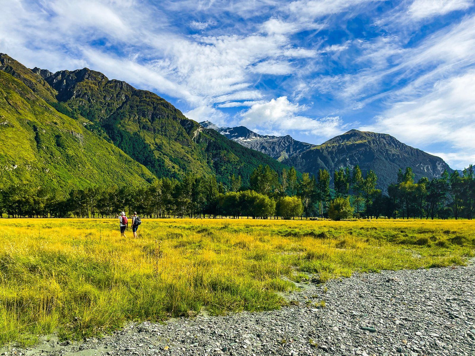
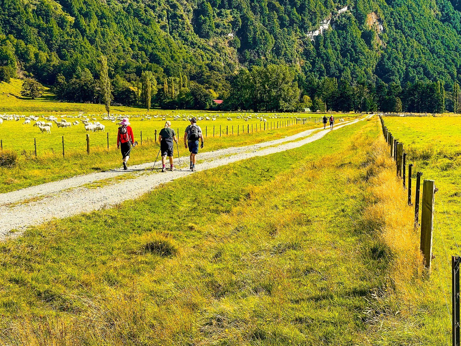
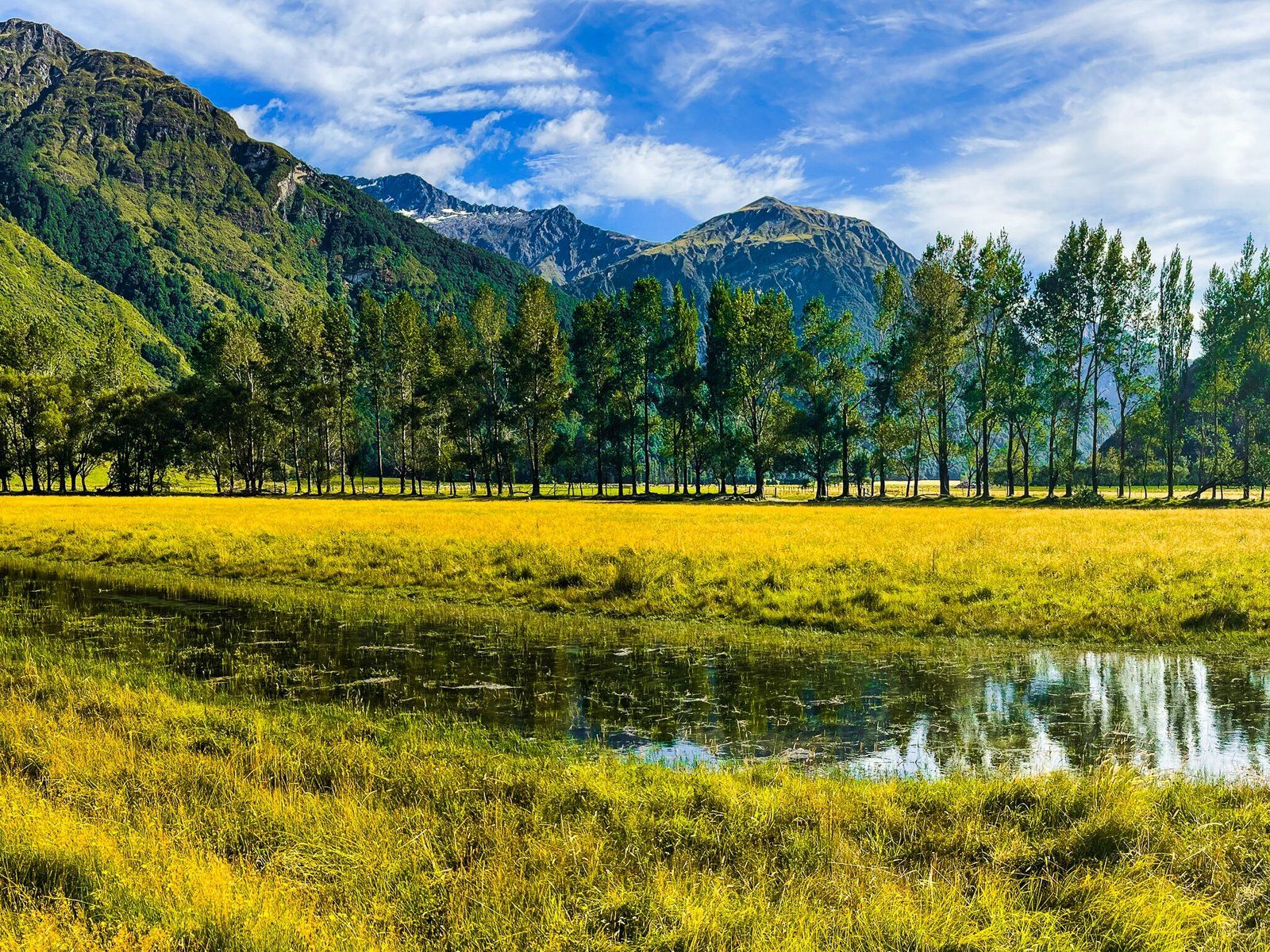
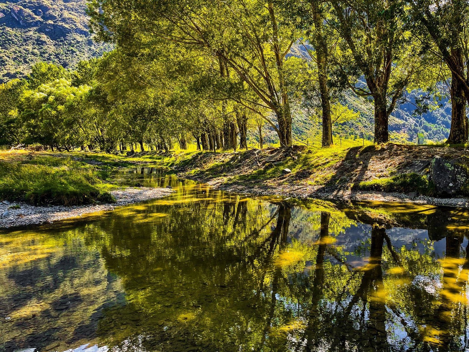
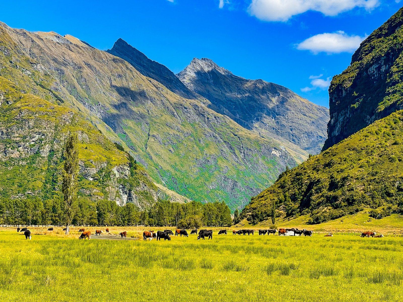
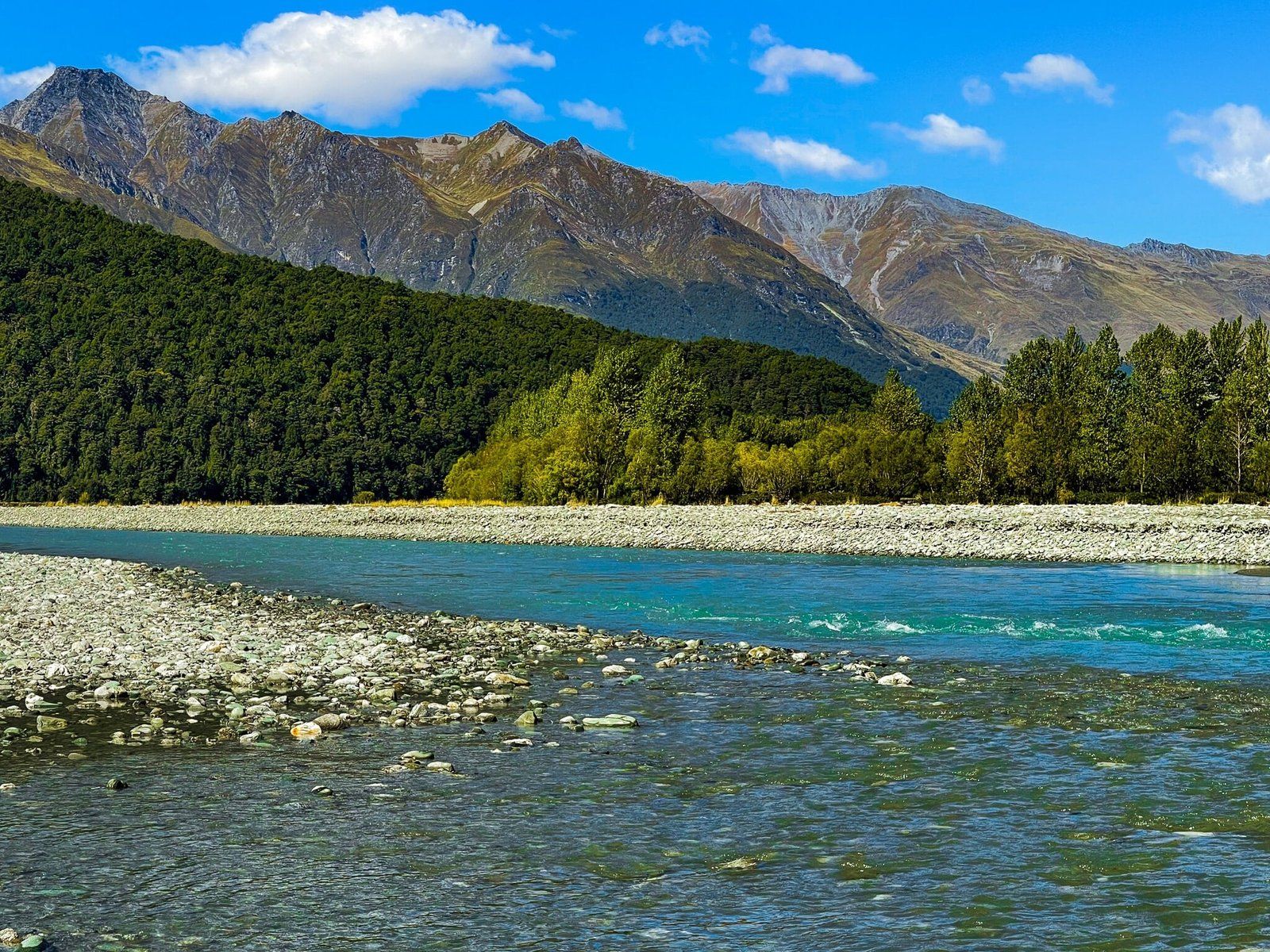
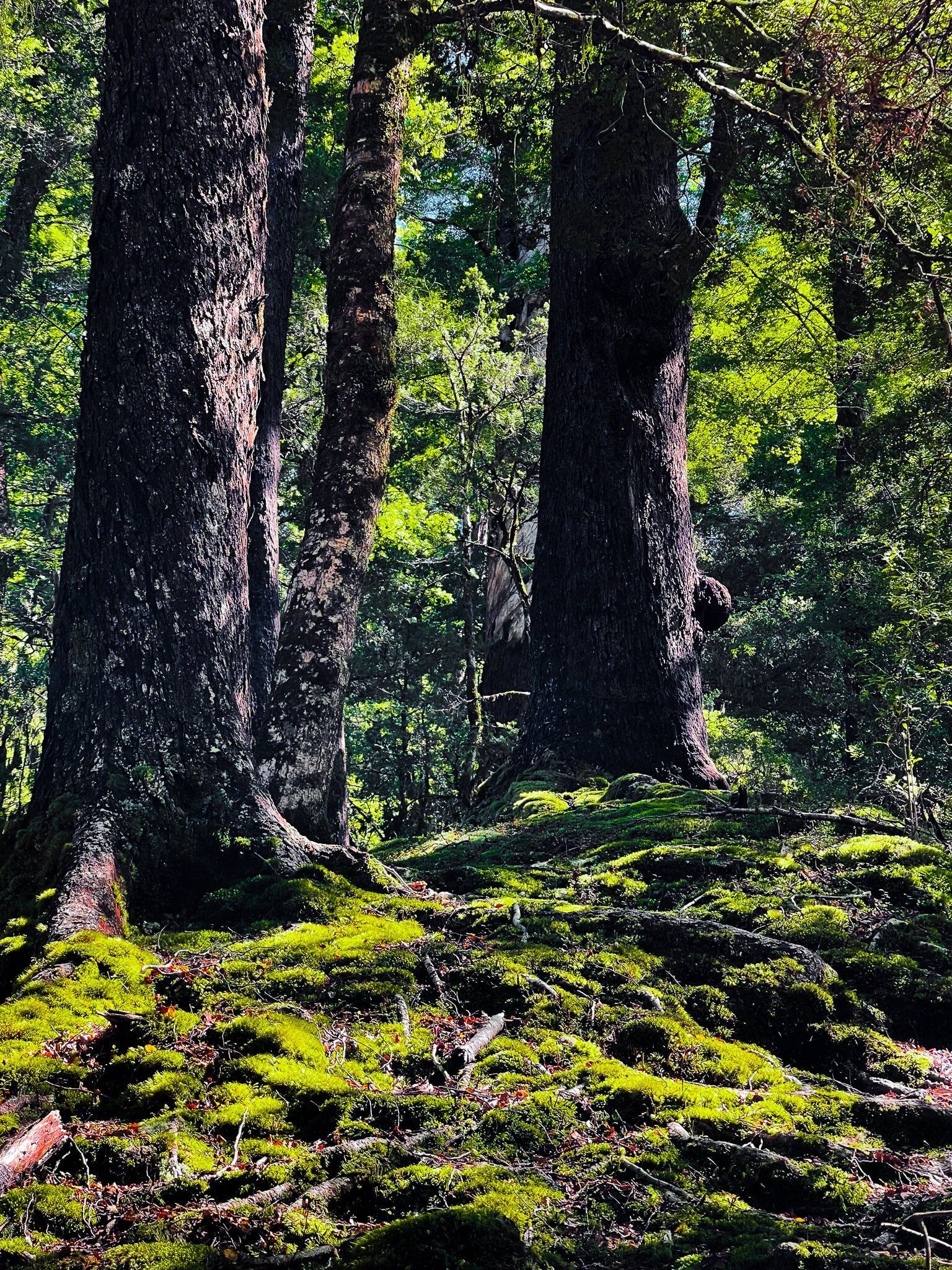
After crossing the river, cross the station (farm) on Cameron Flat Road and then the East Matukituki Track. Follow this track until you arrive at the edge of the beech tree forest near Glacier Burn, a journey that takes about an hour. This section of the walk is notable for the expansive views of the wide grassed valley, with the Mt Aspiring massif to your left, though the peak remains out of sight.
Discovering the Glacier Burn Track
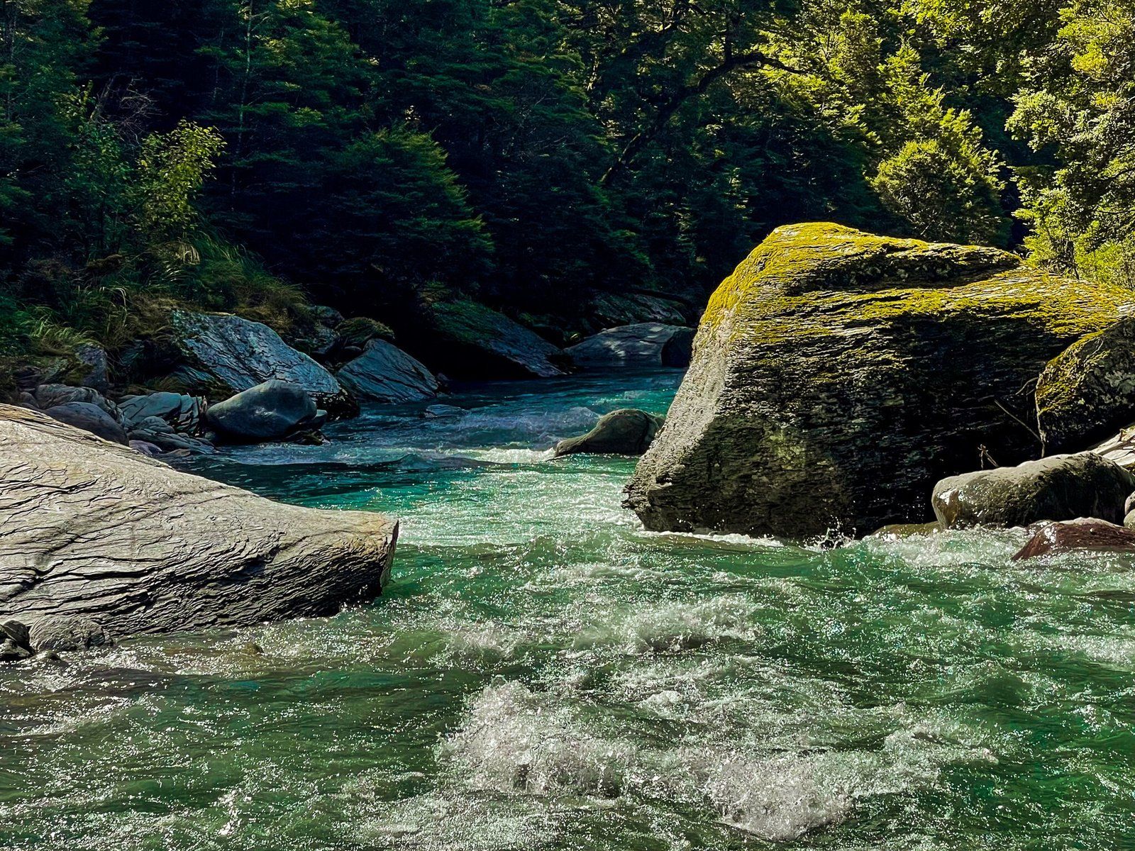
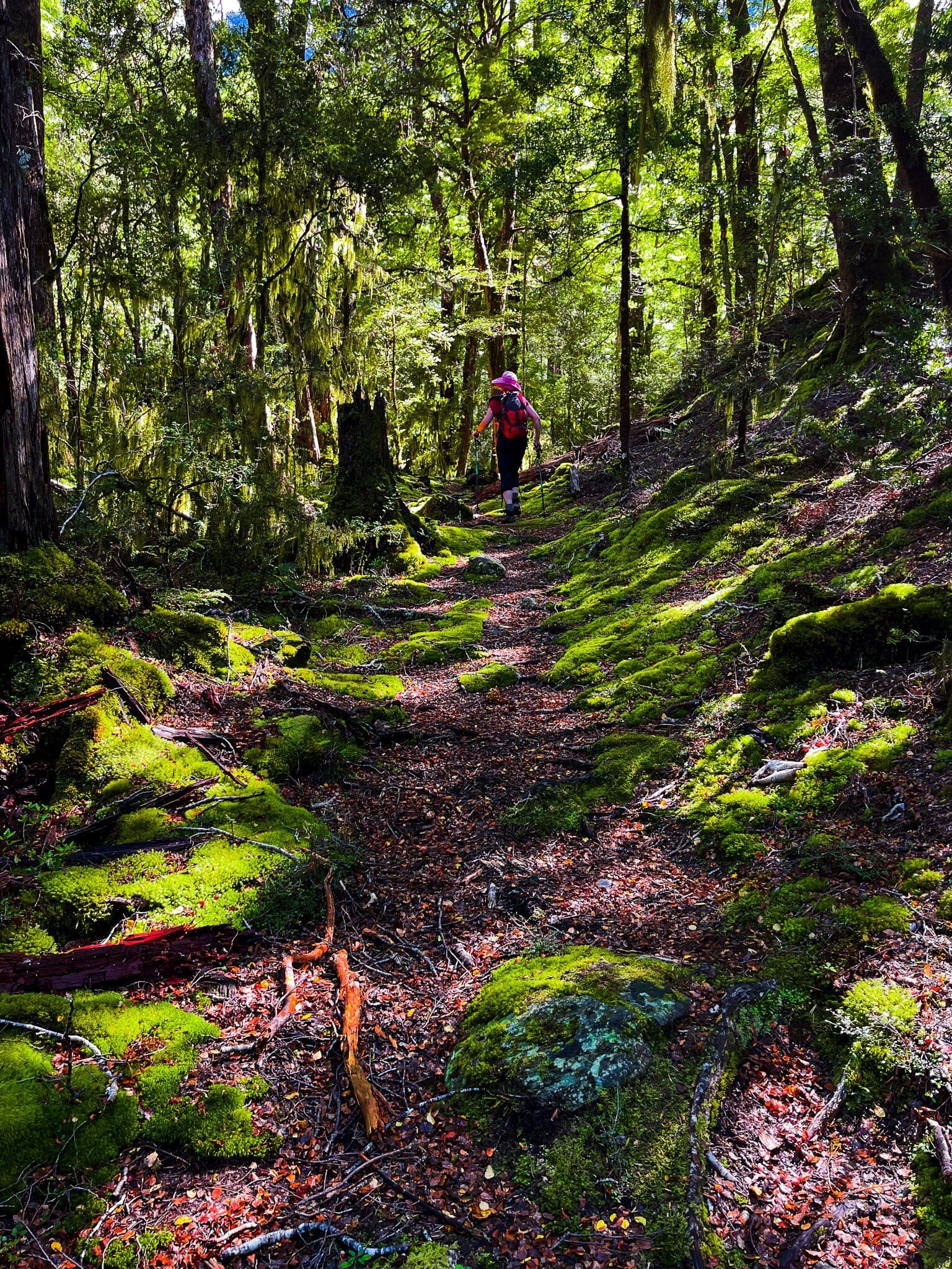
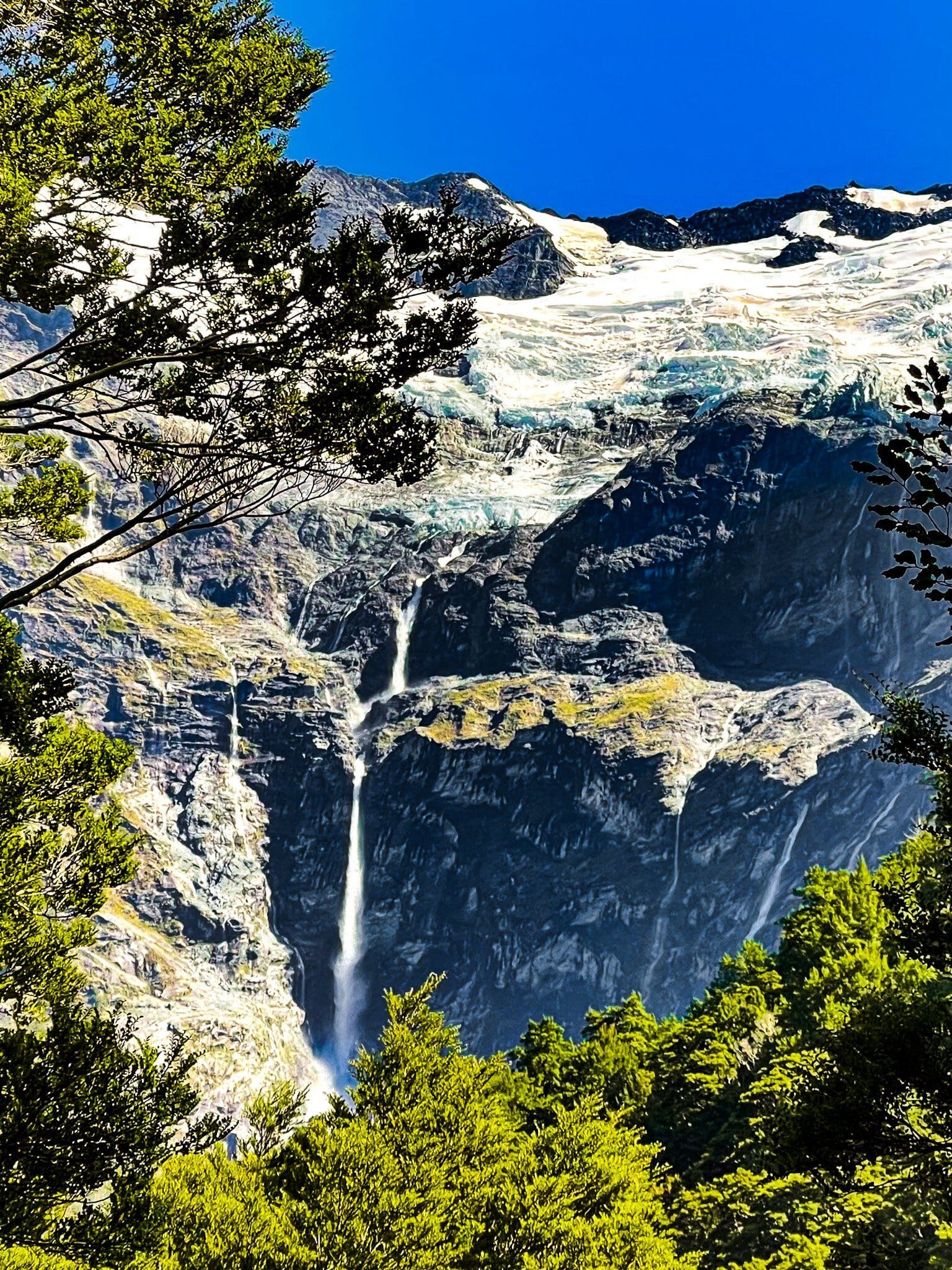
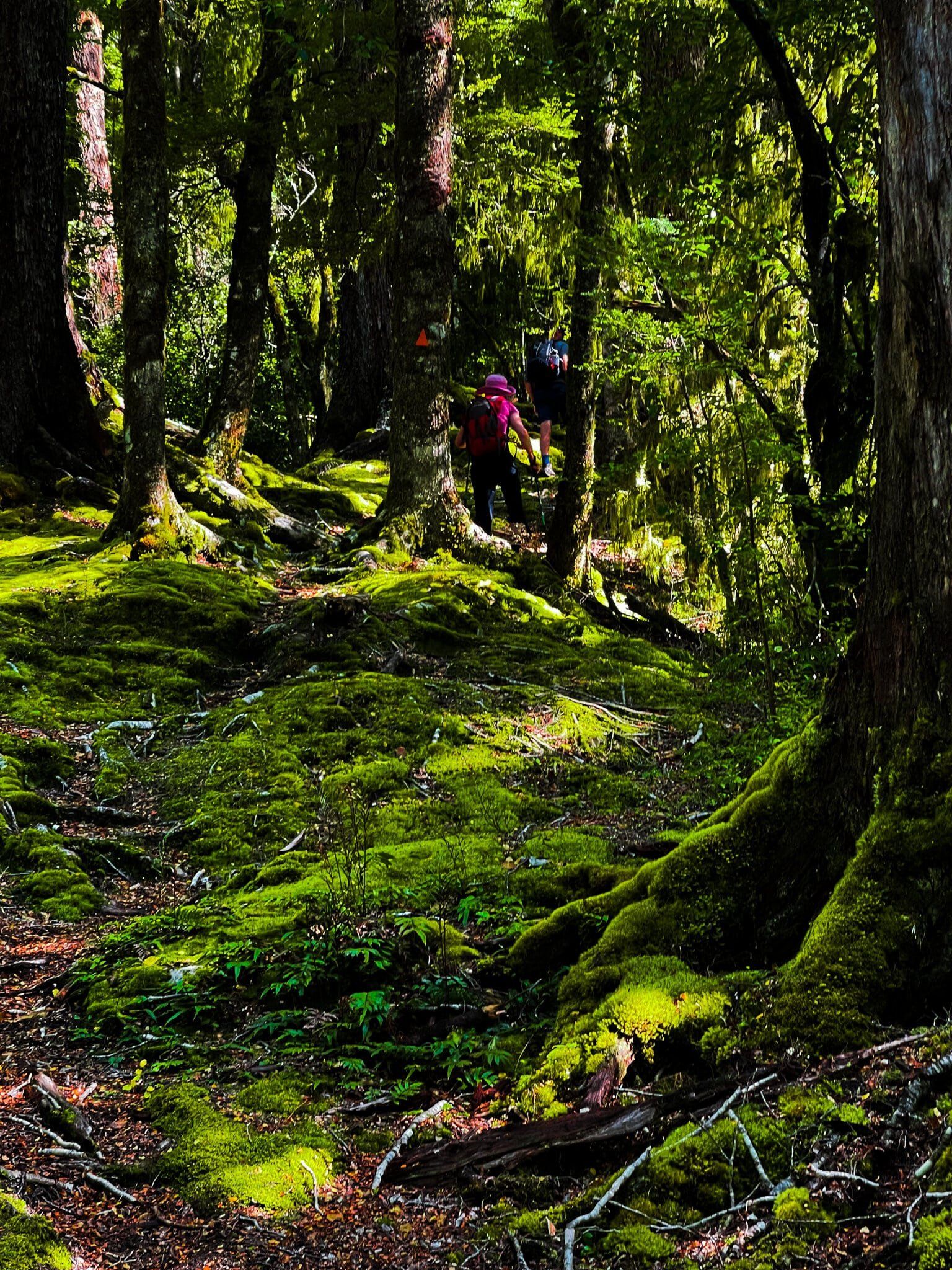
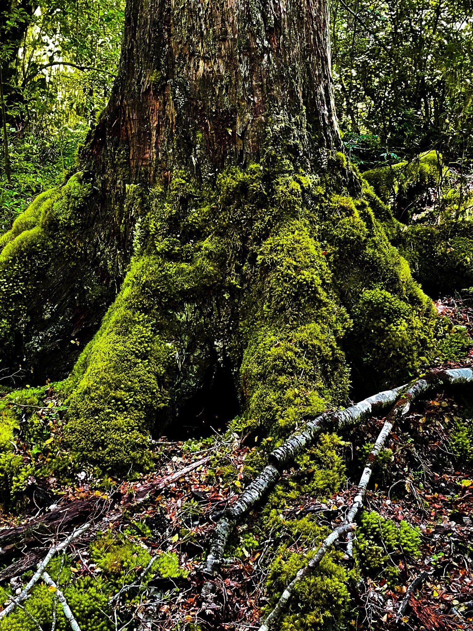
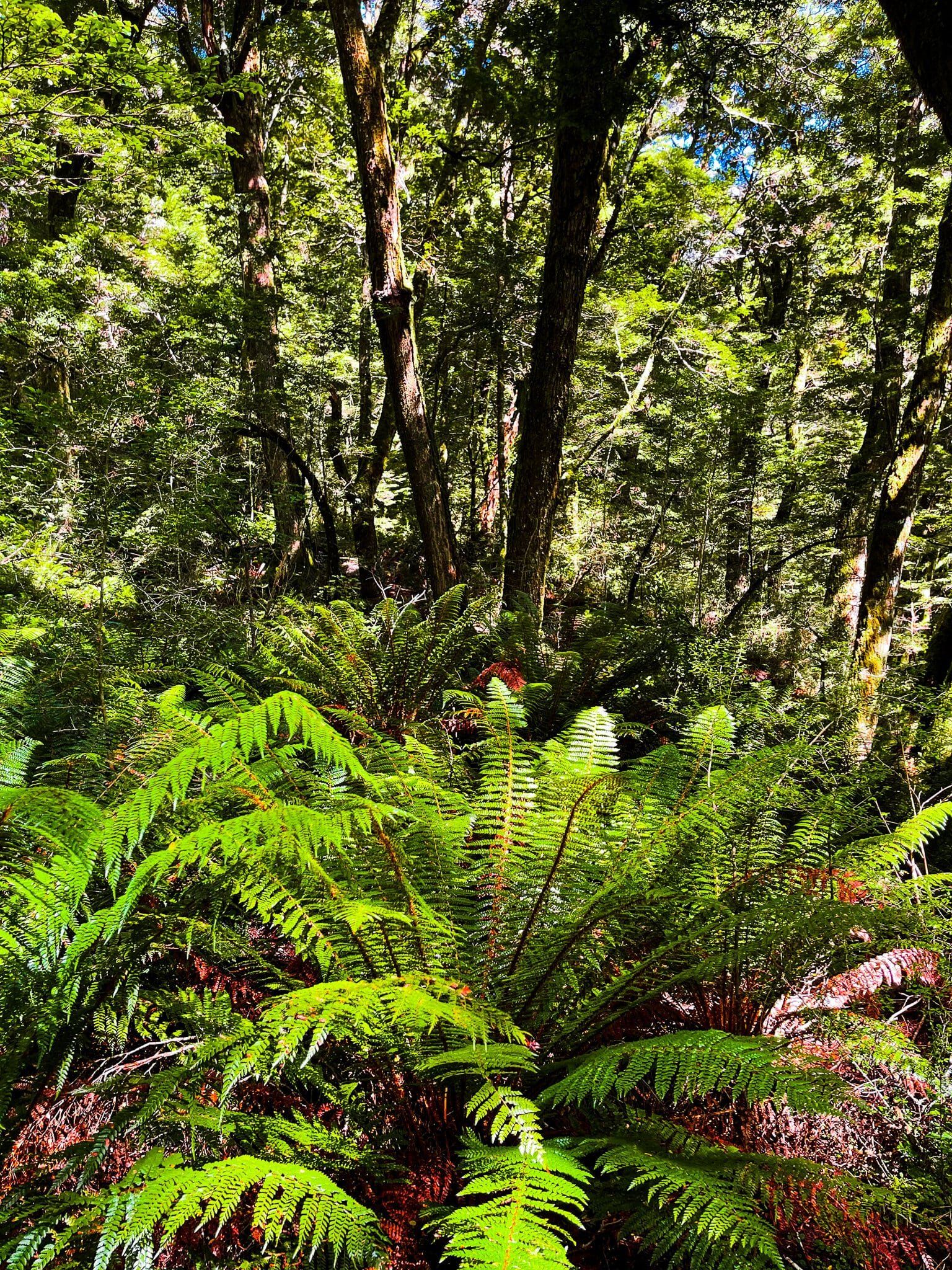
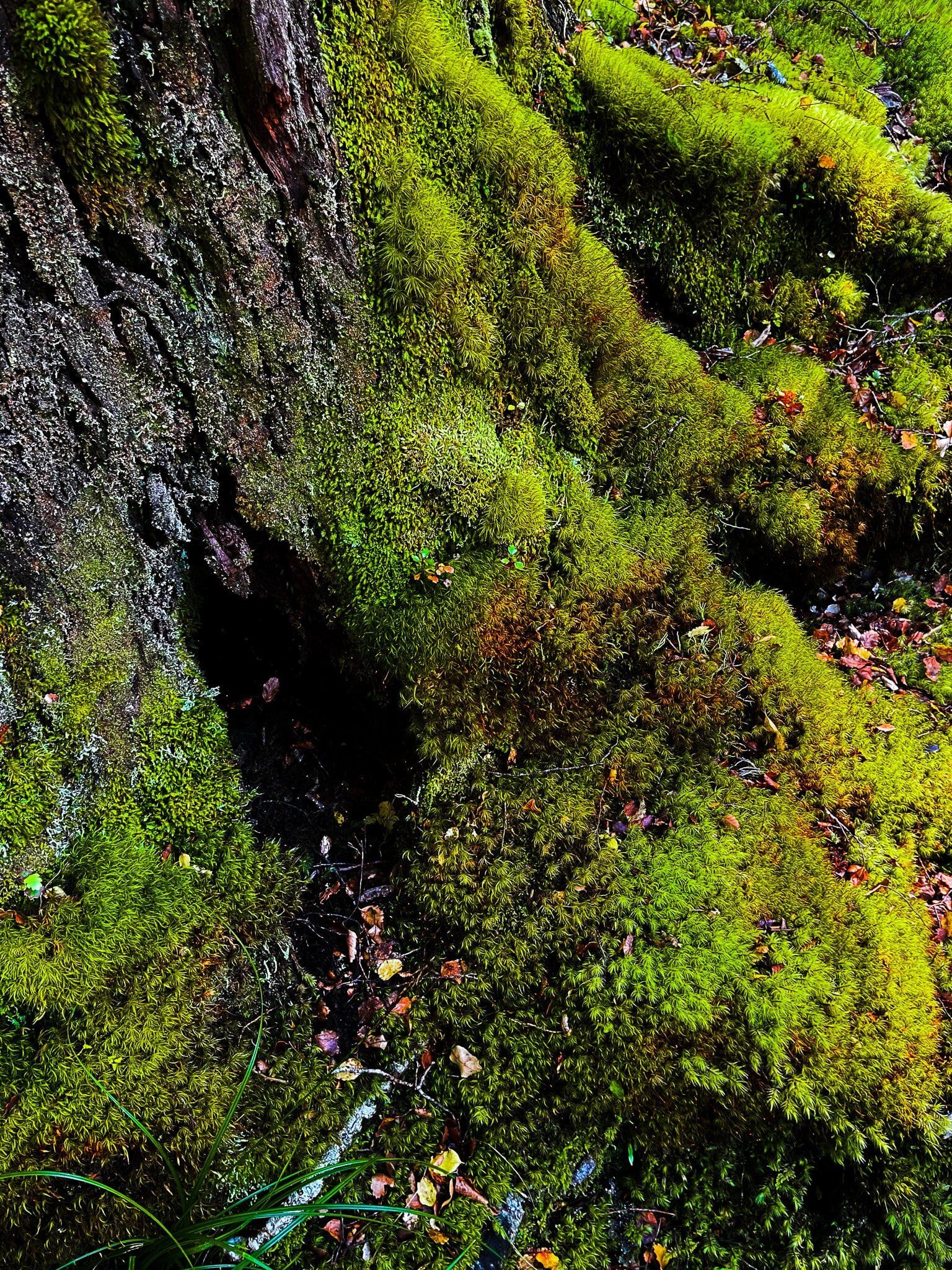
The second part of the hike is on the Glacier Burn Track, which leads into the beech forest at the base of the Mt Aspiring massif. The track ascends 200 metres to a picturesque high point in the forest before descending to Glacier Burn. The path can be rough in places.
Along the way, you can spot Avalanche Glacier and a significant waterfall that feeds the burn. The track ends at Glacier Burn, with a good view of Low Peak (2,609 metres) and the glacier. This section takes about 40 to 60 minutes to complete, after which you return the same way.
How to get there
To reach Cameron Flat, drive from central Wānaka along Mt Aspiring Road for approximately 50 minutes until you see the sign for Cameron Flat. The road is sealed up to the Treble Cone turnoff, after which it becomes gravel and can be narrow with fords.
For other rewarding hikes in the area, consider the Rob Roy Glacier Track and West Matukutuki Track to Aspiring Hut, accessible from Raspberry Flat, about a 10-minute drive further along Mt Aspiring Road.