
This is the first in a series of blogs which will focus on the Waikato River, the dominant feature of the Waikato region. It meanders north for 425 kms through central Waikato, before taking a sharp westerly turn south of Pōkeno and ending at Port Waikato on the Tasman Sea.
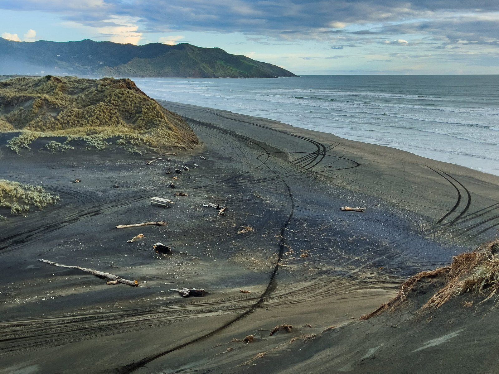
Port Waikato is also the first of several coastal communities which dot the Waikato west coast, with a black sand surf beach and extensive sand dunes with walking tracks between the river and the beach.
To get to Port Waikato, take the Helenslee Road or Pōkeno turn offs on the Waikato Expressway and then head west on Pōkeno Road, then Whangarata Road to the Tuakau Bridge over the Waikato River. From the bridge, turn right onto Port Waikato Road. This section of the drive is attractive with the last few kms running alongside the river. Keep an eye out for place to stop at sunset on the way back!
Just after entering the small town at Port Waikato veer right onto Maunsell Road, which will take you to Sunset Beach. Or you can turn into Maraetai Bay Road and park behind the dunes next to the river.
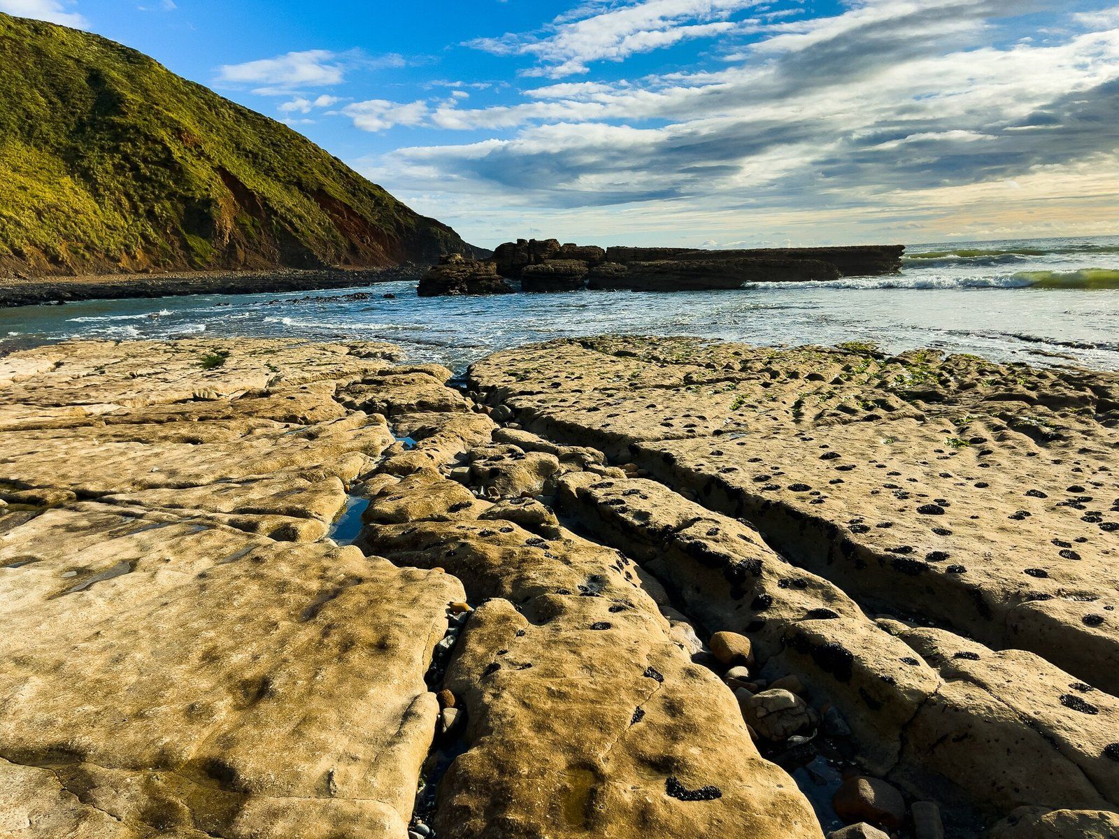
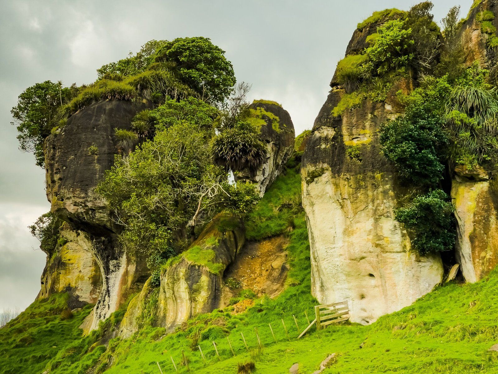
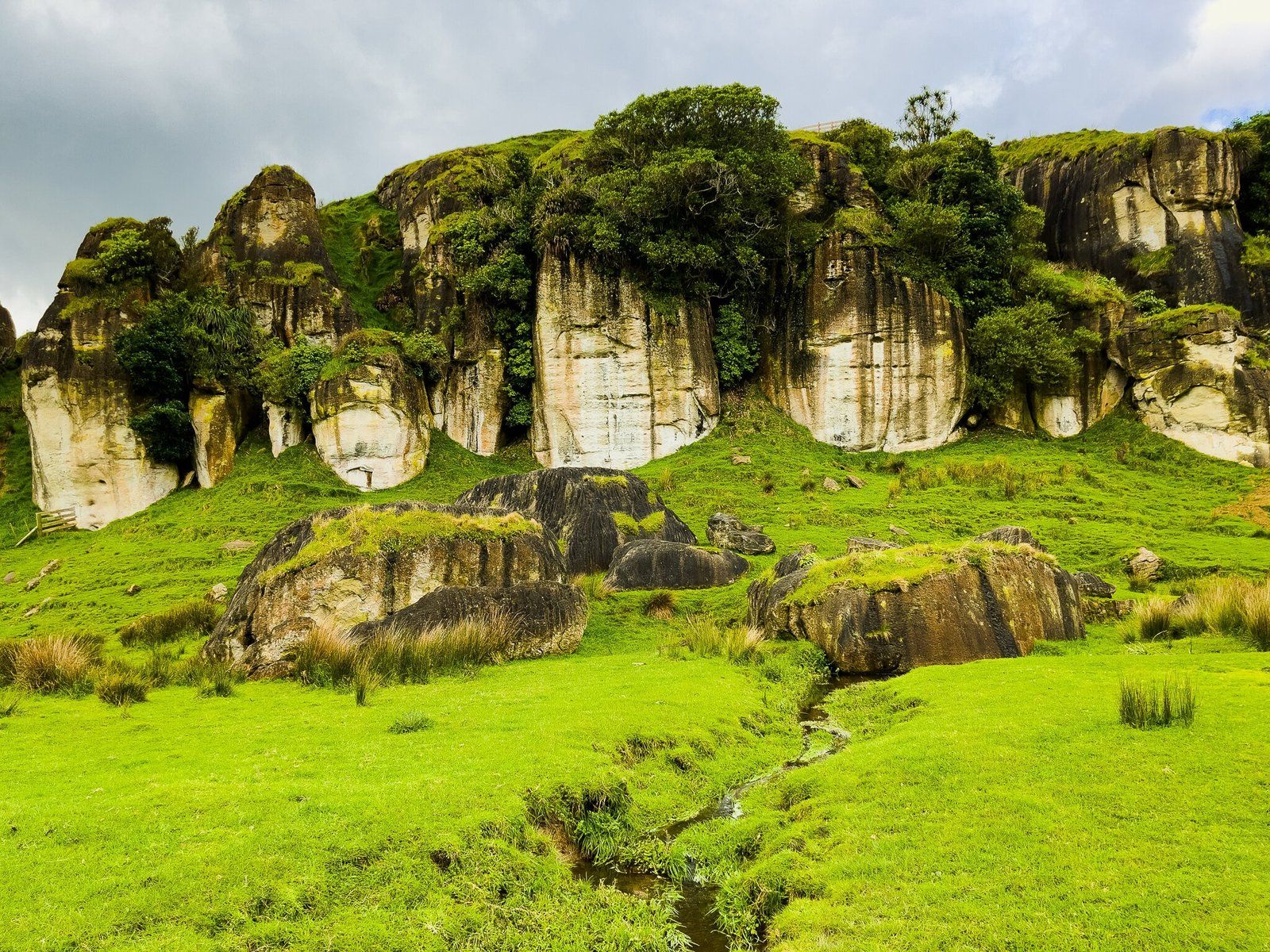
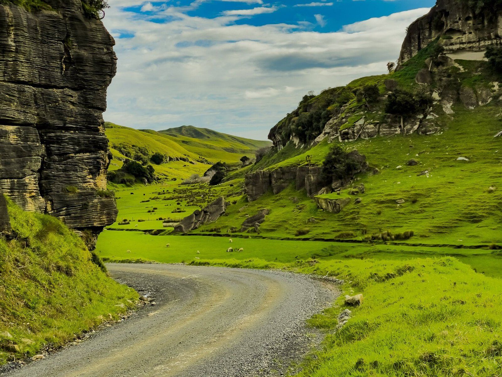
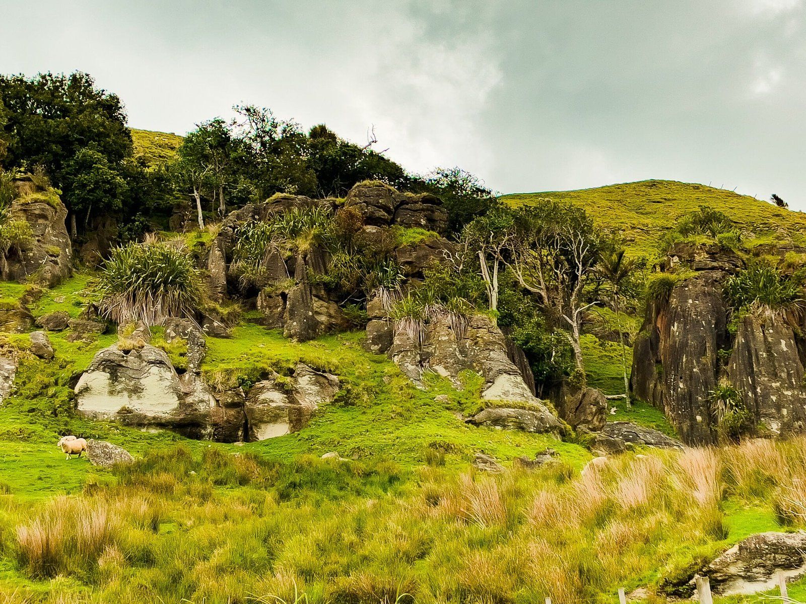
We also suggest you consider staying on Port Waikato Road as it veers south towards Waikaretu for at least 13 kms (you can turn around at Limestone Downs). This short stretch of narrow metal road is particularly scenic, passing through an area of attractive limestone rocks.
Sunset Beach
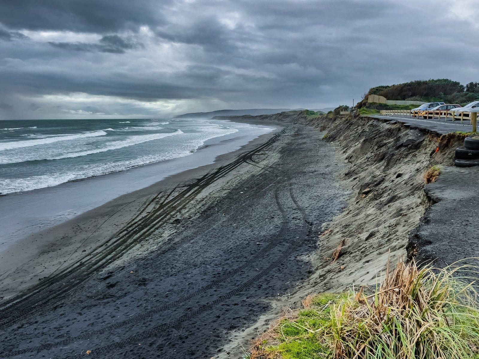
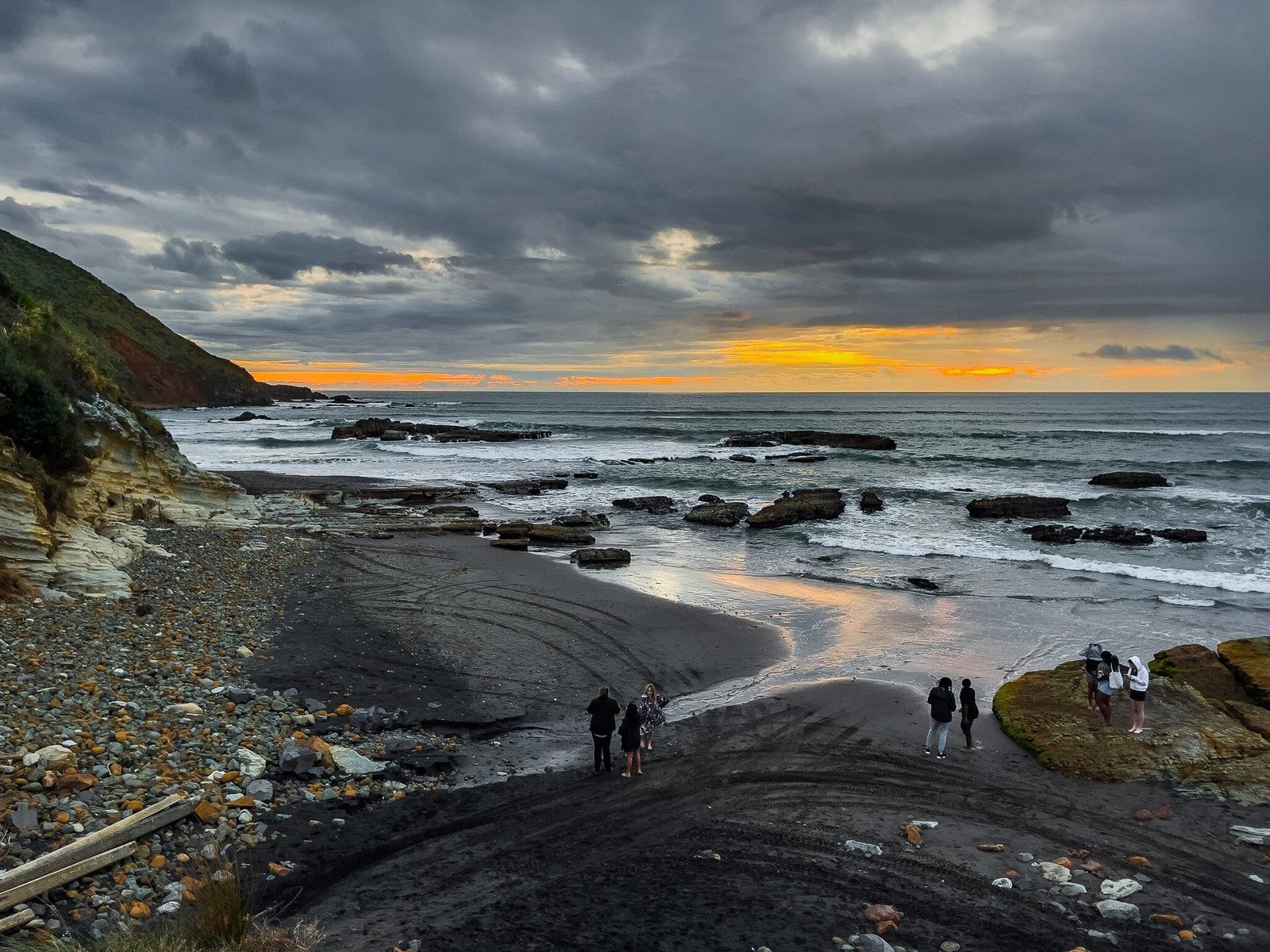
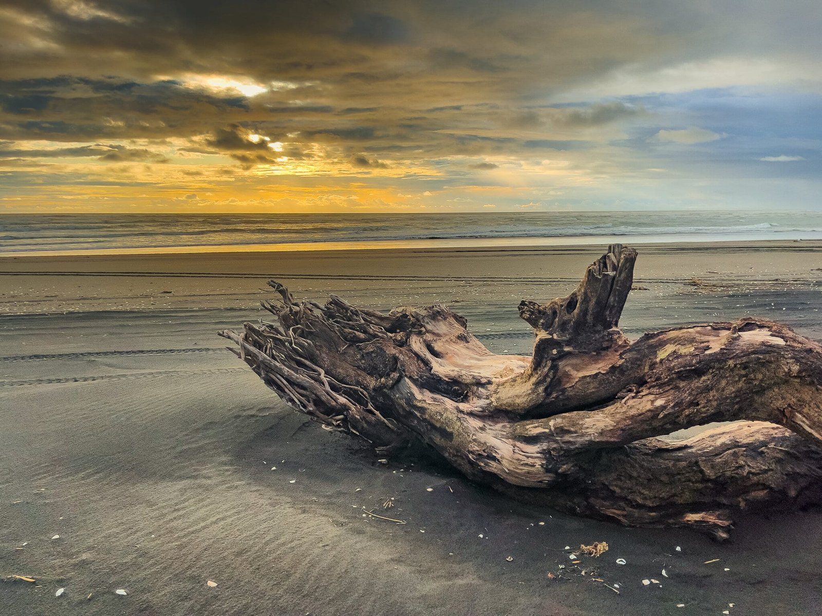
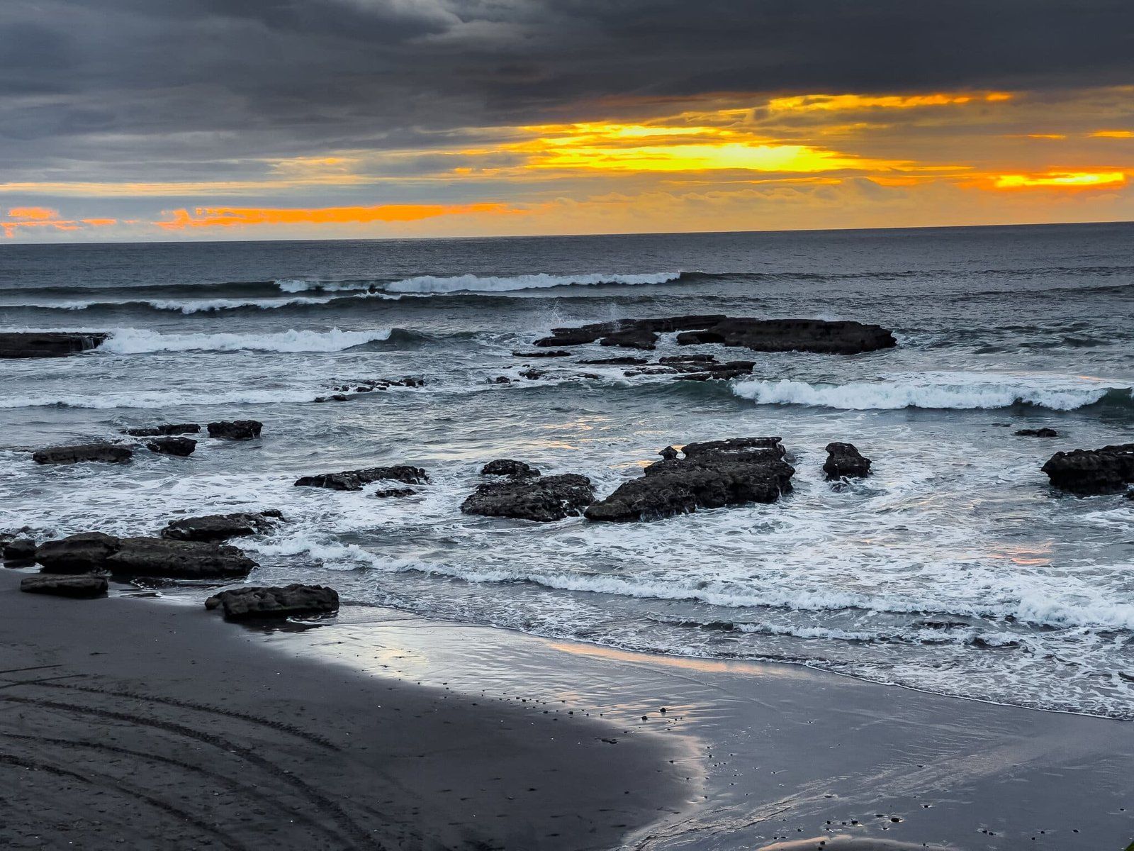
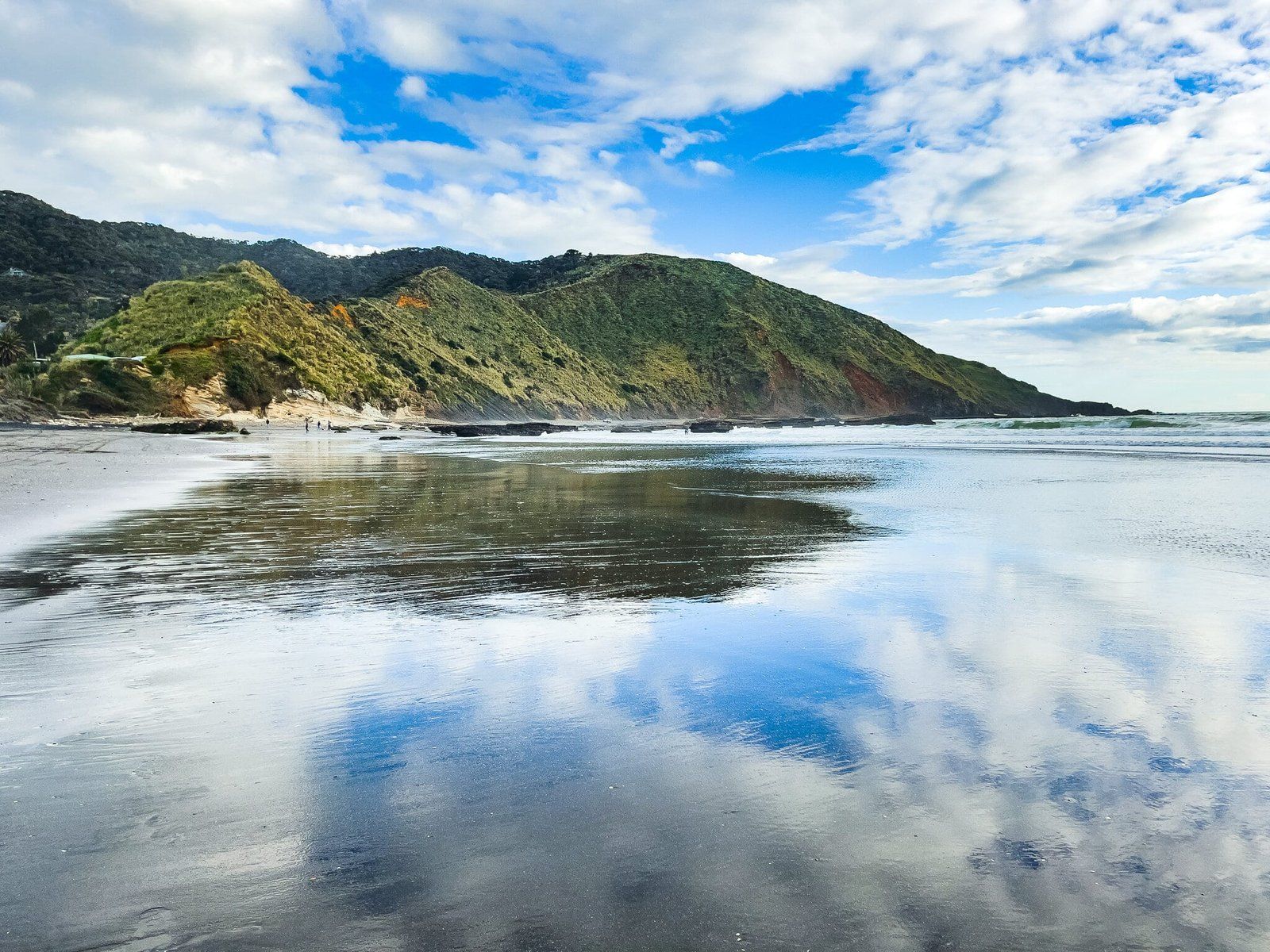
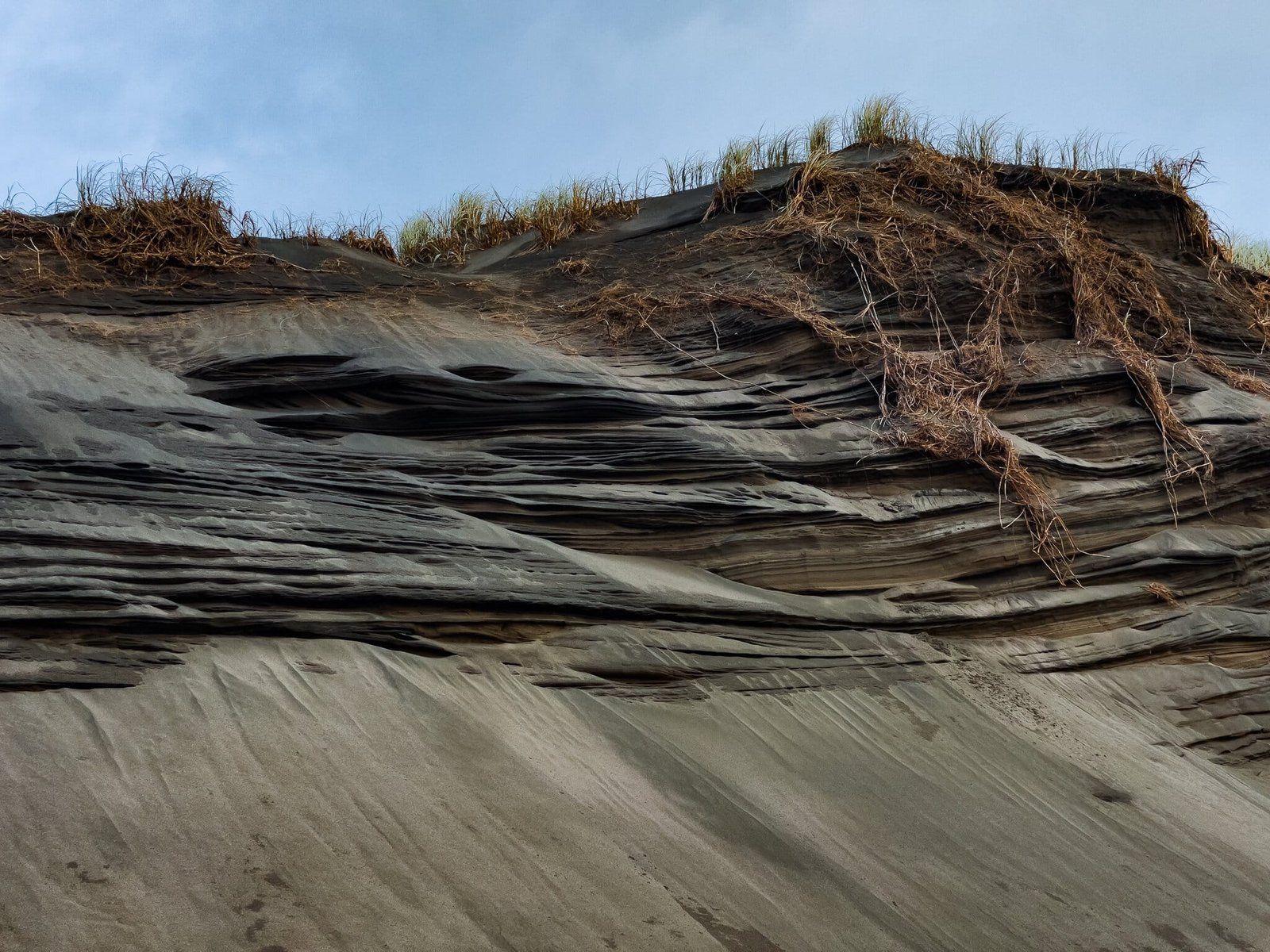
Sunset Beach (a local name) is a typical west coast black sand surf beach. There is a reasonably sized car park at the top of the eroding cliff above the south end of the beach, also the location for the surf patrol. To the left of the access is a relatively rocky and stony area, with high yellow-orange cliffs. The rock platforms are interesting to explore as the tide goes out.
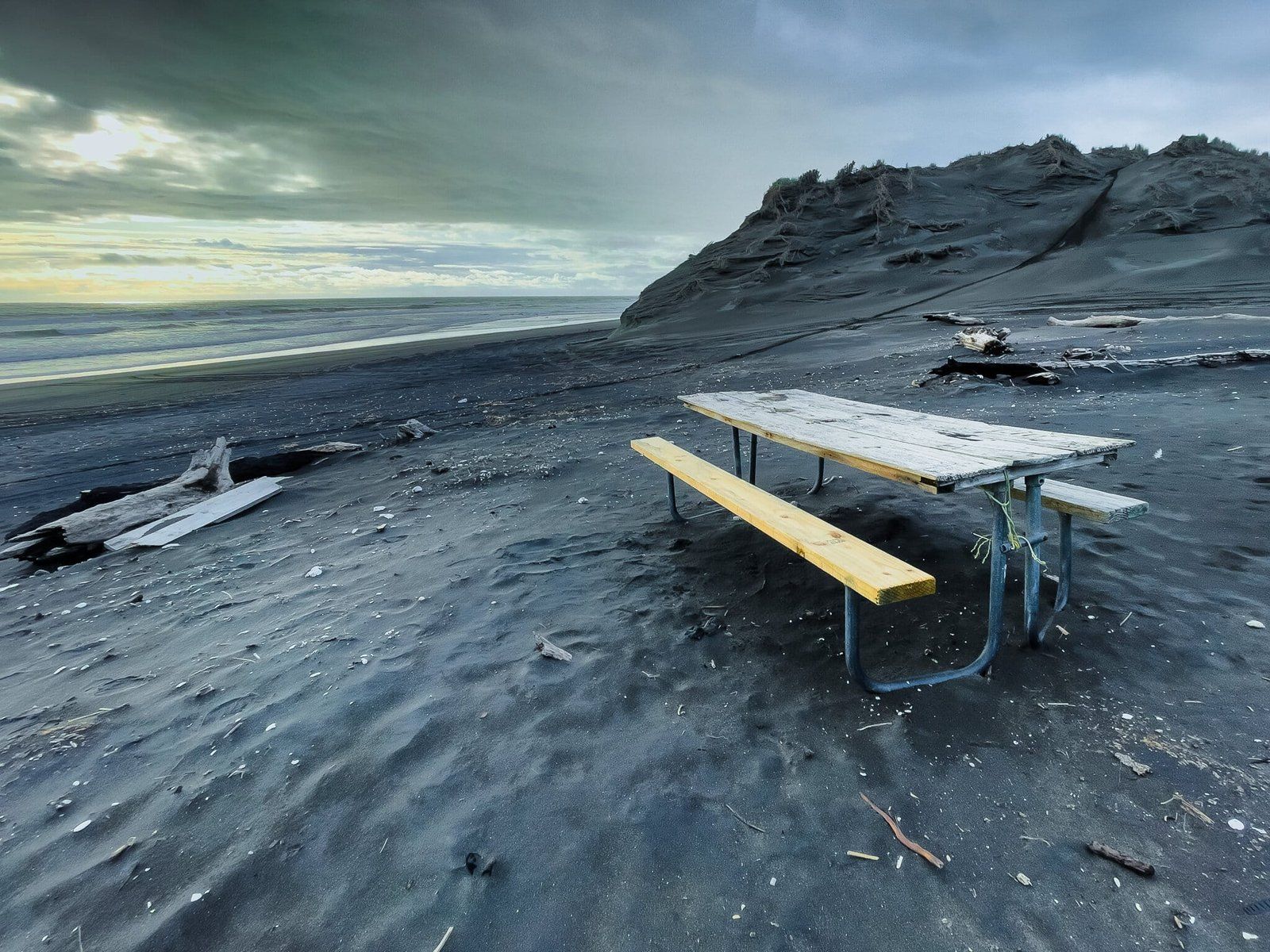
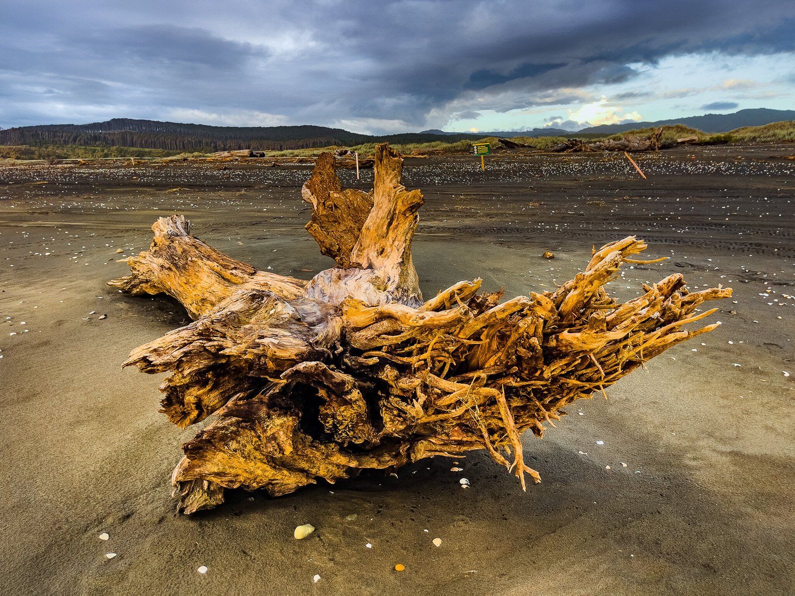
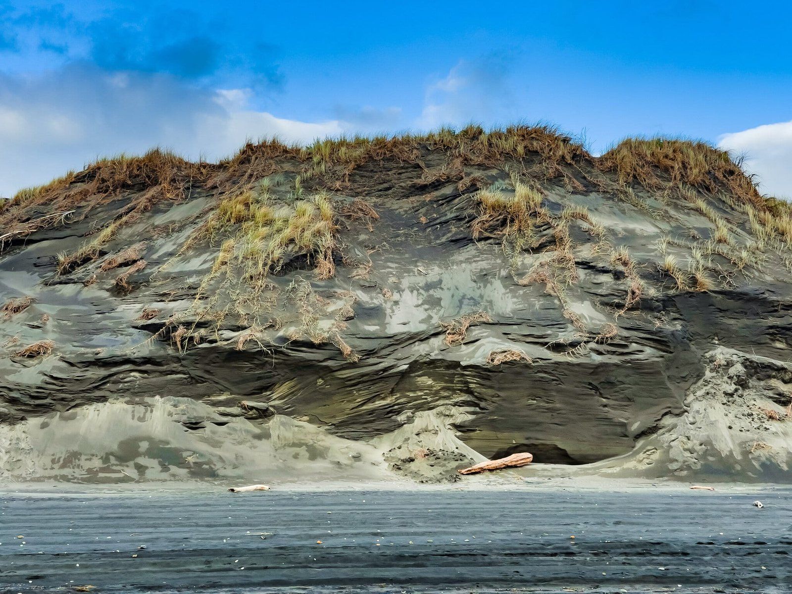
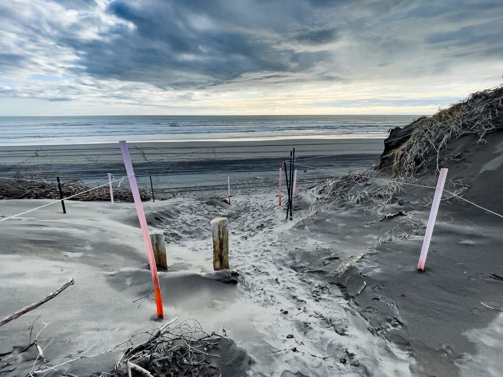
It is about 3 to 4 kms to walk to the river mouth at the north end of the beach. The further north you go, the more rugged it feels. You will come across some impressive pieces of driftwood, then a seabird sanctuary including dotterels. The dunes are also interesting – access from the beach is prohibited until you are a fair way along, but then there is a marked path, with an obvious entrance.
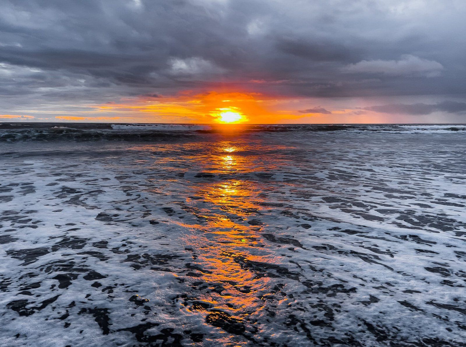
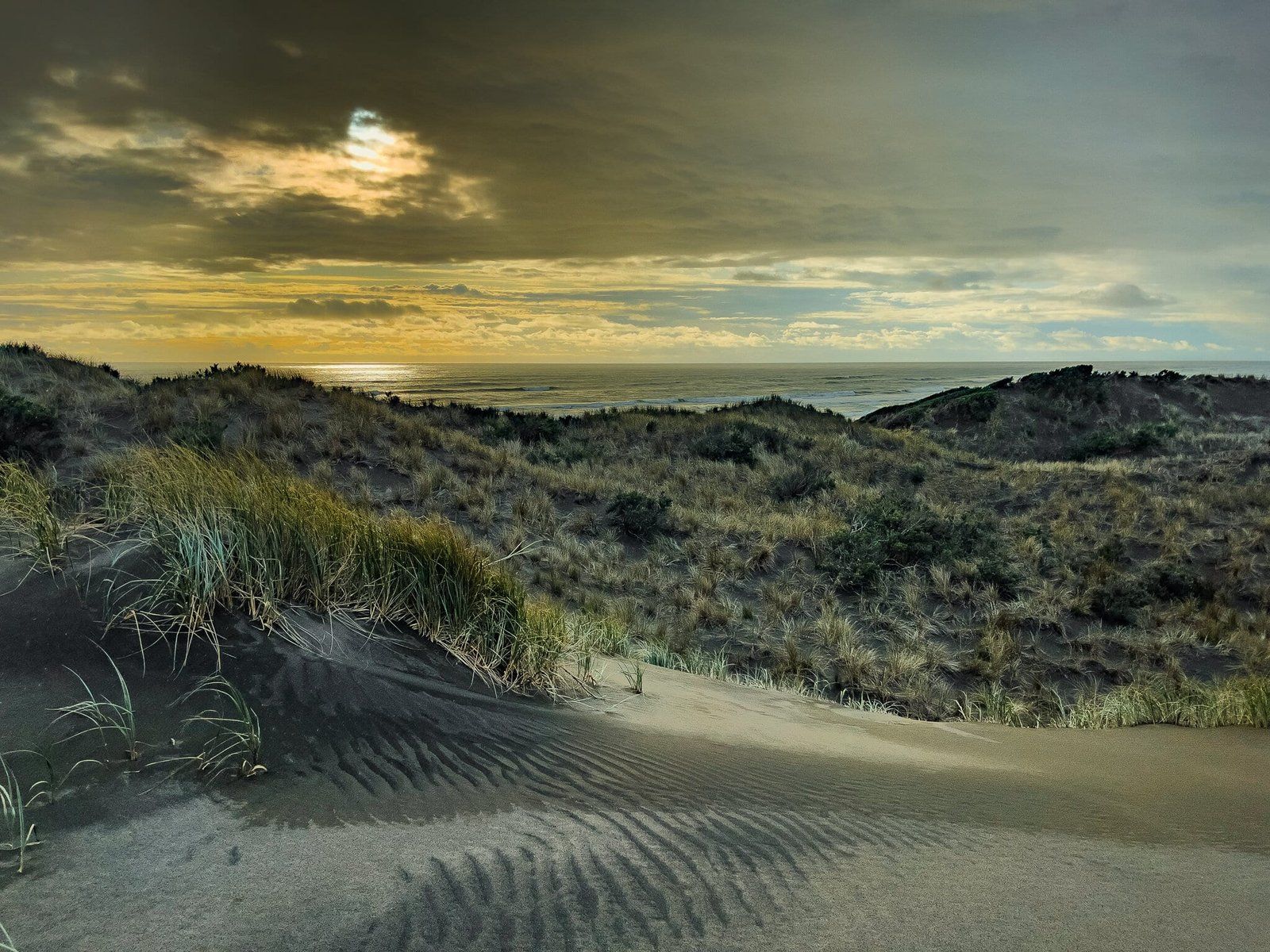
As you would have guessed from the name, Sunset Beach is a great spot to watch the sun set, whether from the carpark, shoreline, or top of the dunes.
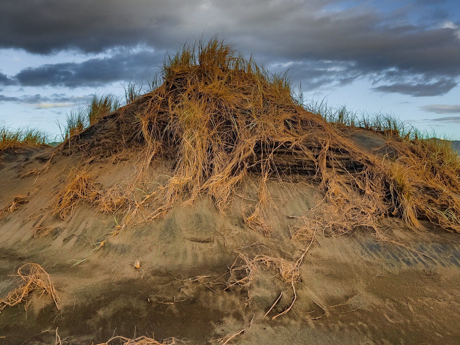
Port Waikato Sand Dunes
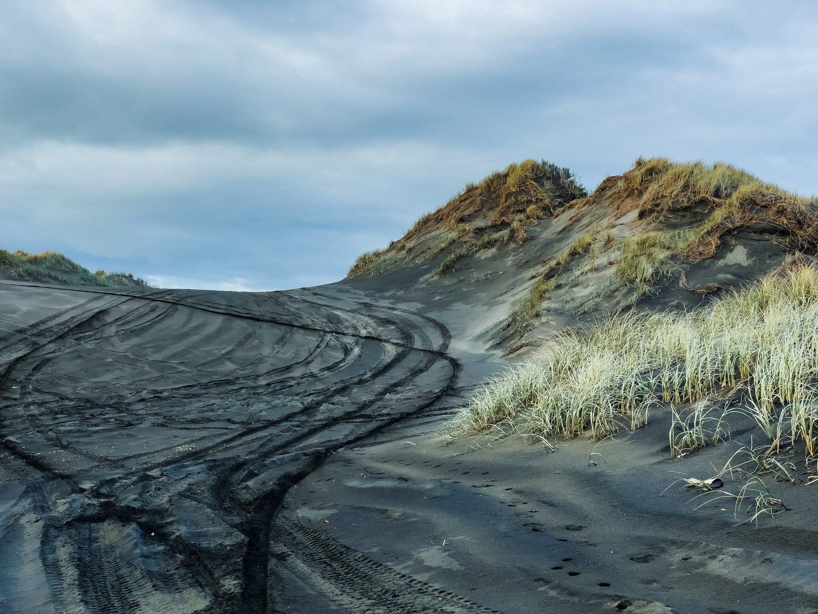
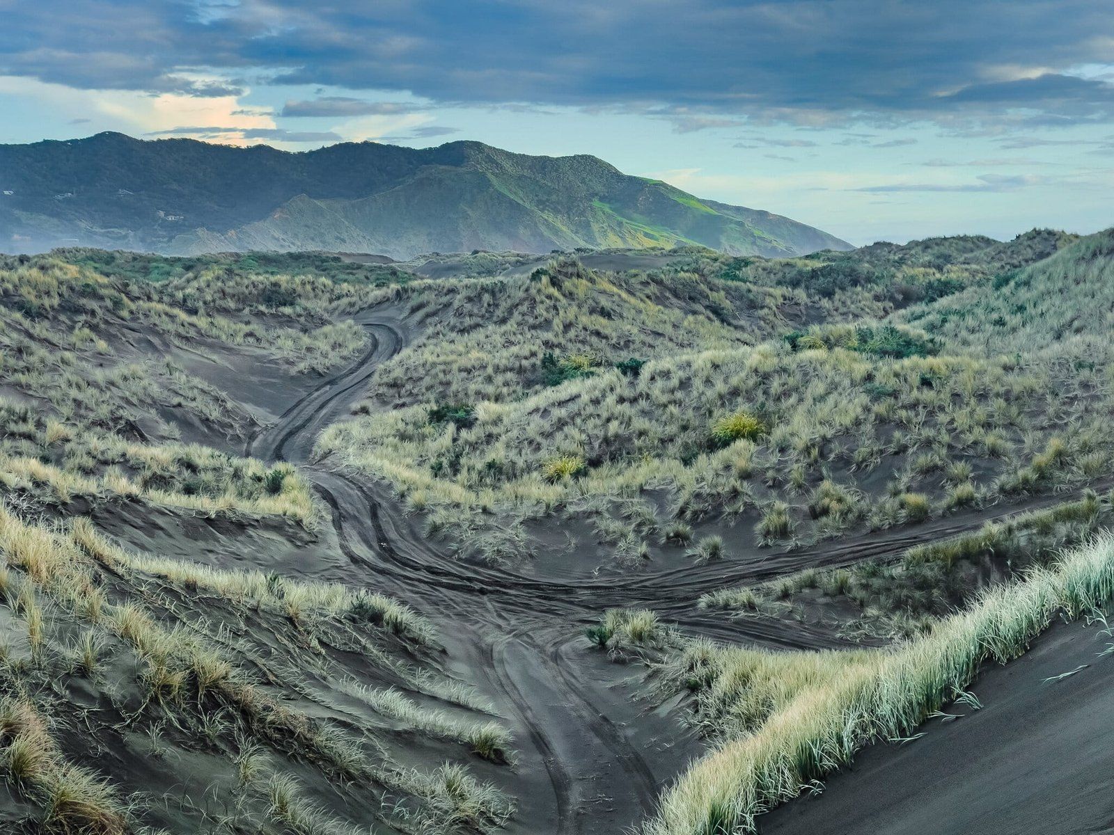
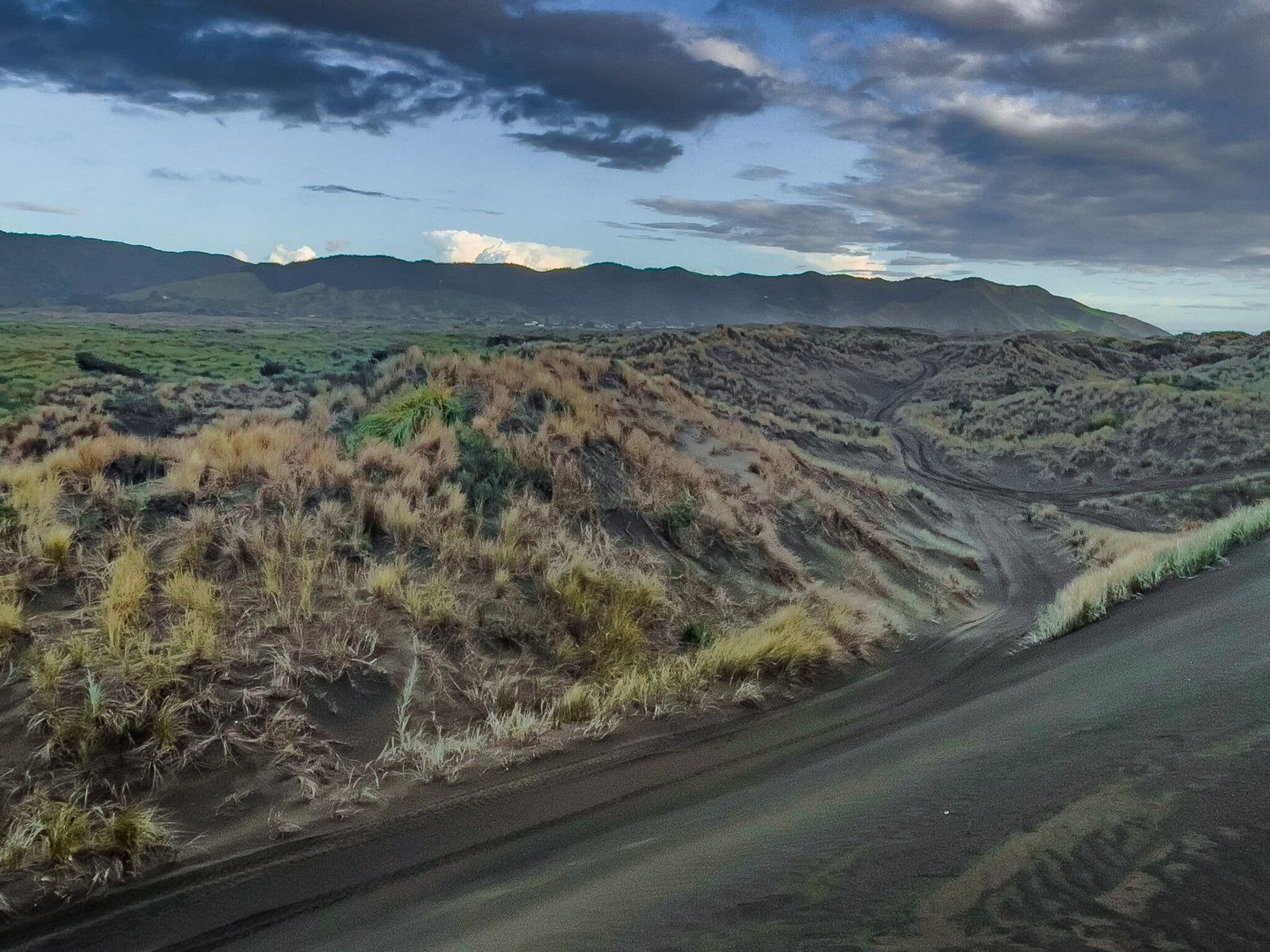
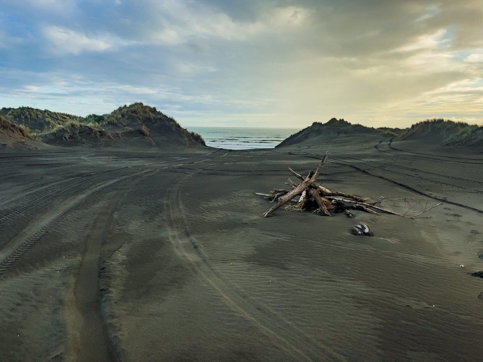
The extensive Port Waikato sand dunes sit between the last stretch of the Waikato River and the beach, extending all the way to the river mouth. You can walk into the dunes from Maraetai Bay Road or from one of the access points off the beach as you walk north. Once in, there are multiple obvious paths to explore with an environment ranging from exposed sandhills to shrubbery, including an extensive array of (non-native) flowers.
Note that some of these paths may also be used by motorbikes and 4 wheel buggies.
Waikateru Road
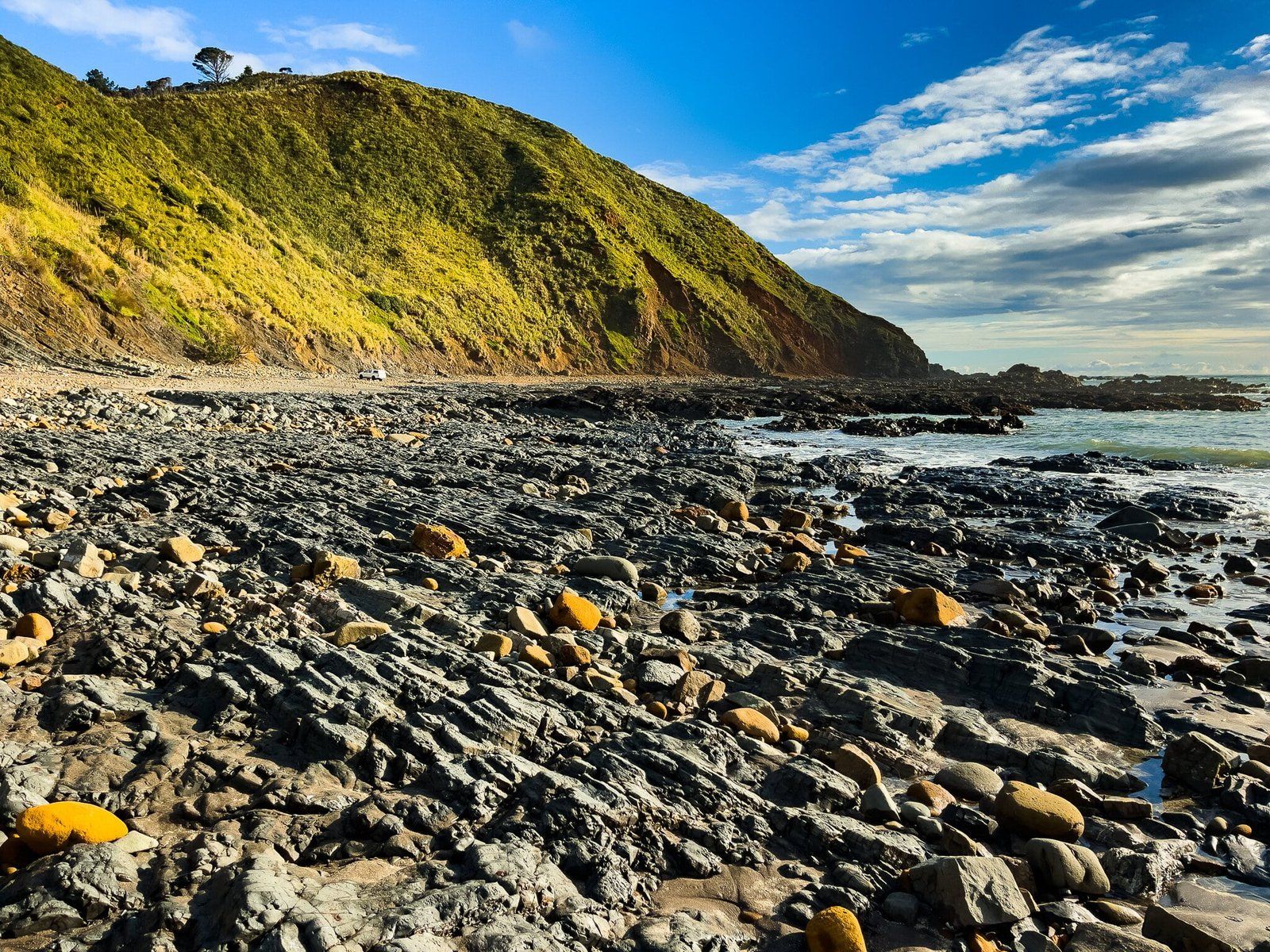
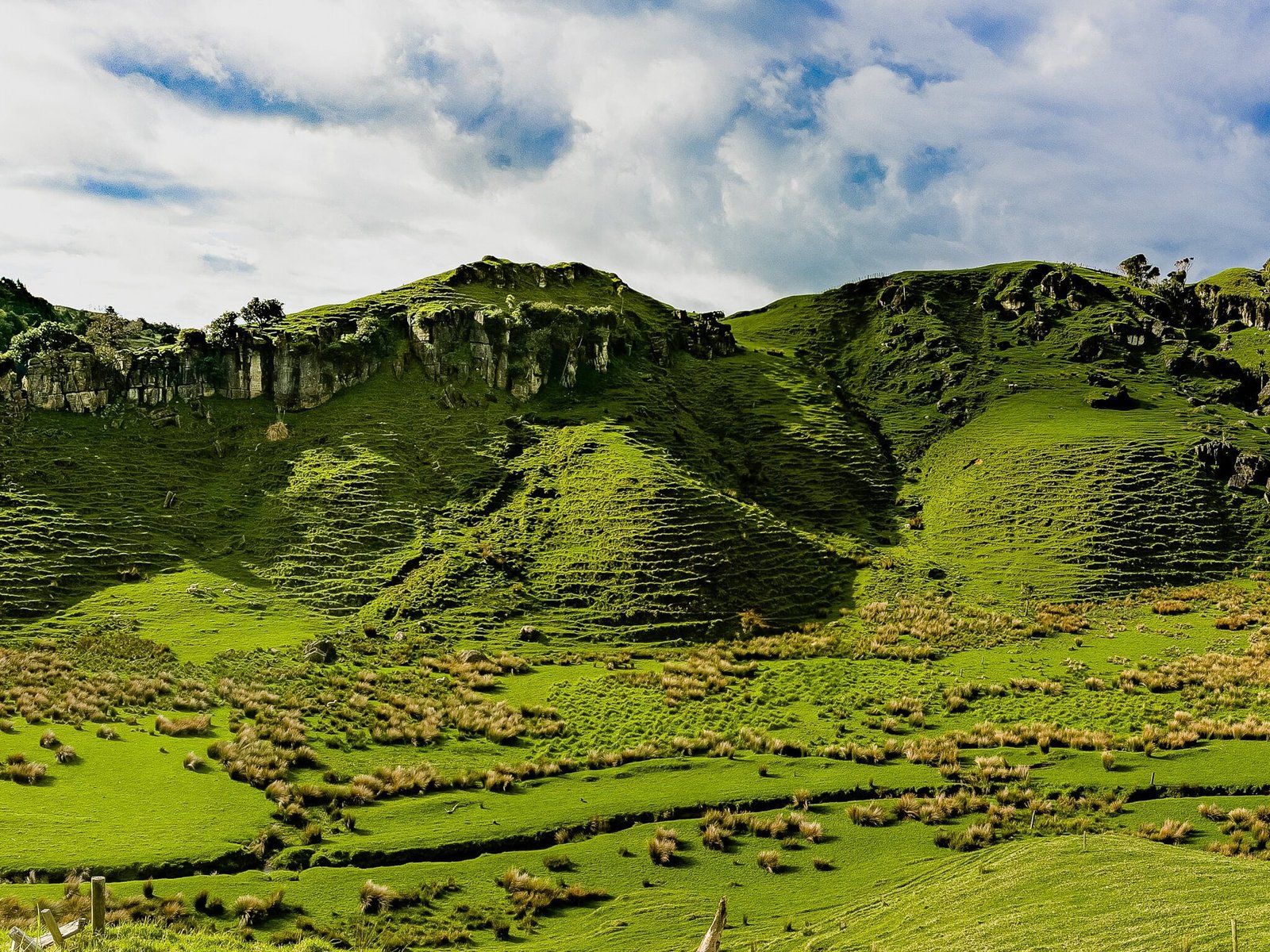
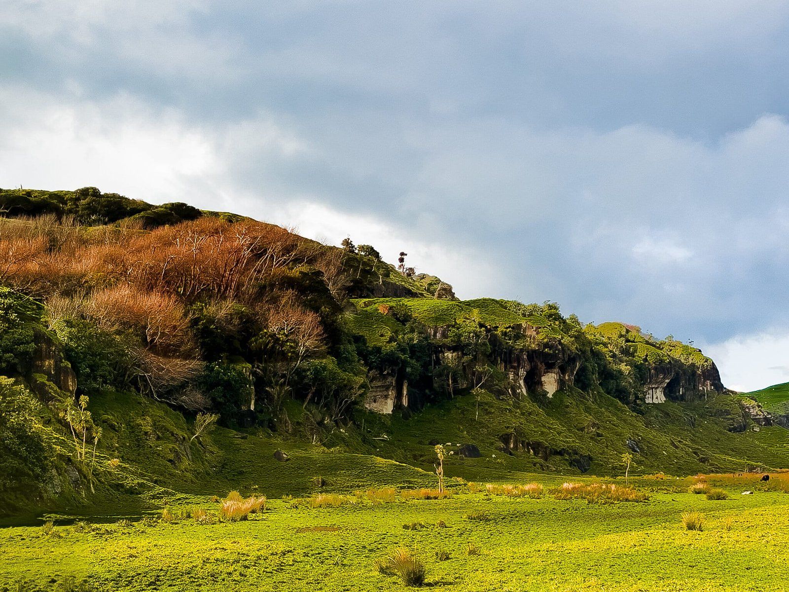
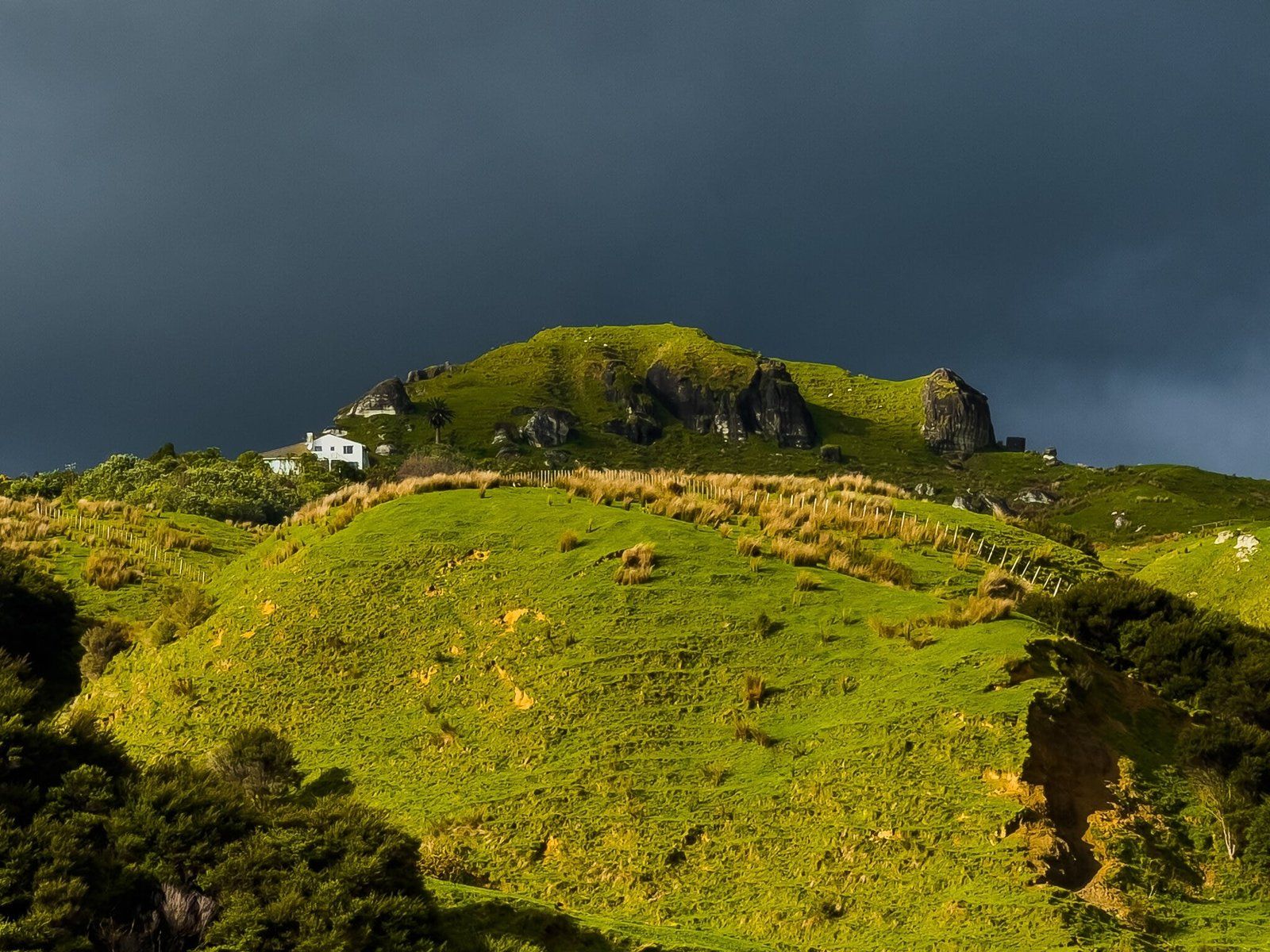
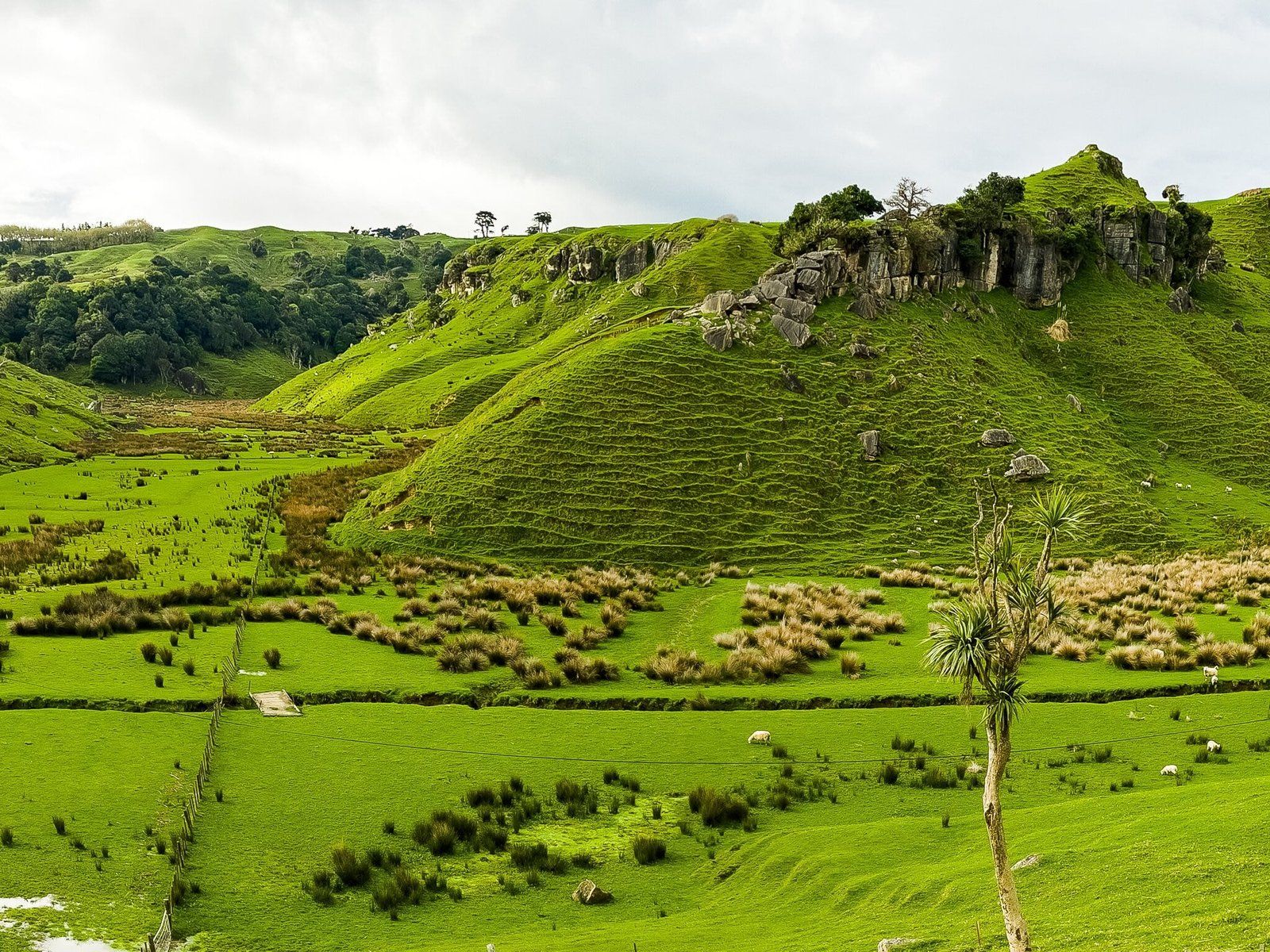
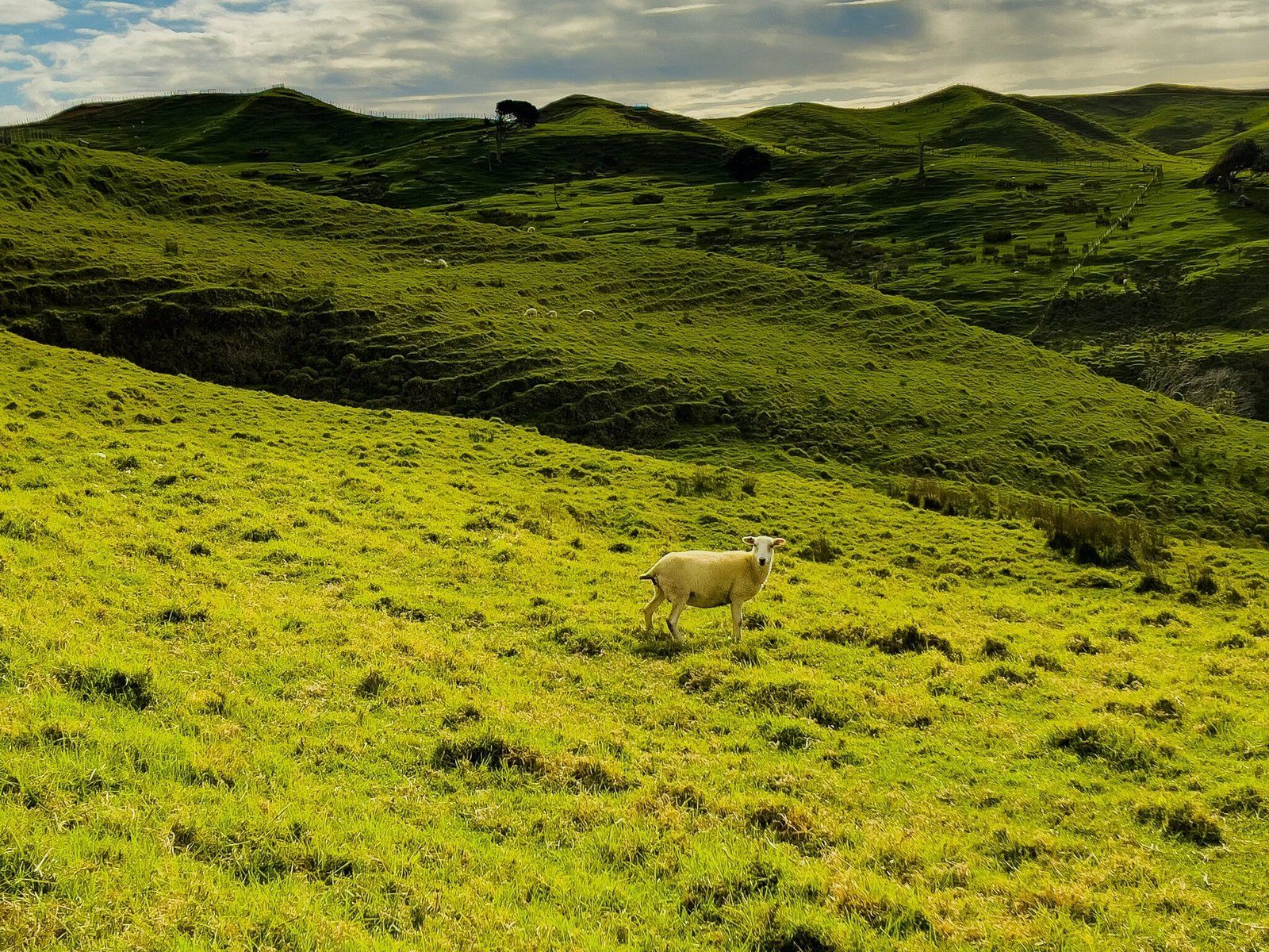
As you enter the town, head left to stay on Port Waikato Road towards Waikaretu instead of taking Maunsell Road towards the beach. The road becomes windy and narrow in places. It continues to be sealed for a few kms, then becomes unsealed. It climbs about 100 metres, passing through several sections of limestone rock formation, with some sections looking like pasture-sided mini canyons, complete with modest streams at the bottom.
The highlight is a cliff edge highpoint, where you can safely stop in a couple of places. On Google Maps, there is a location marked as a viewpoint for a LOTR location, Weathertop, but there is no road marking. You can pick out Weathertop but it’s a fair distance away and not too obvious amongst the other rock formations.
If you do this in early spring, you will also notice the area around the cliff edge is rich in flowering kōwhai trees with a large number of happy tūī.
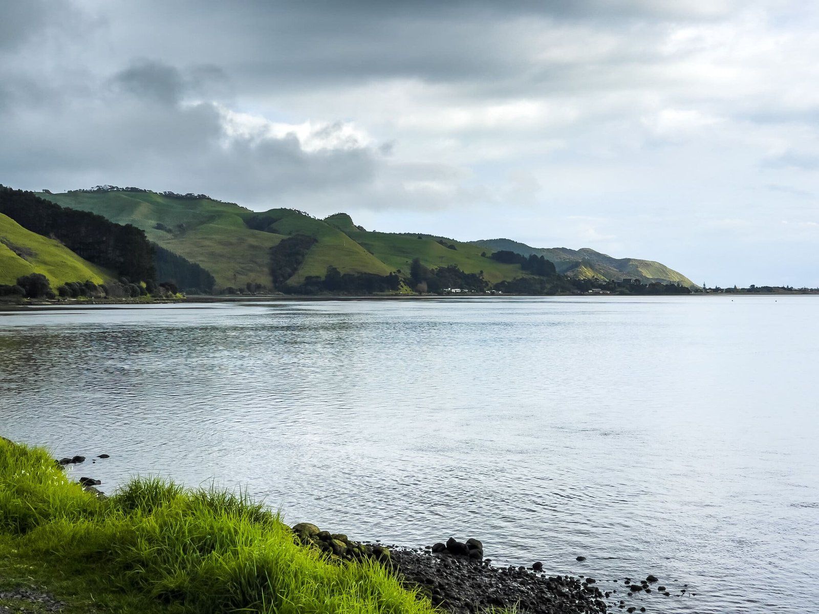
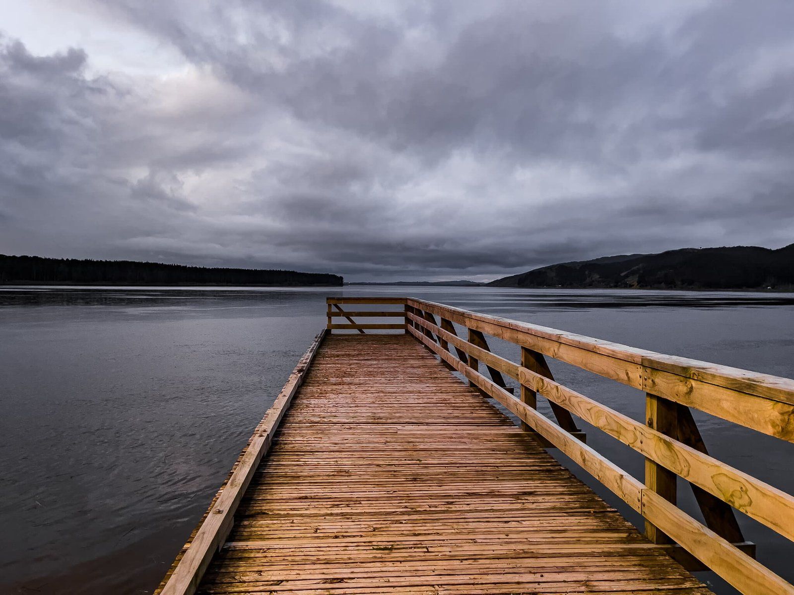
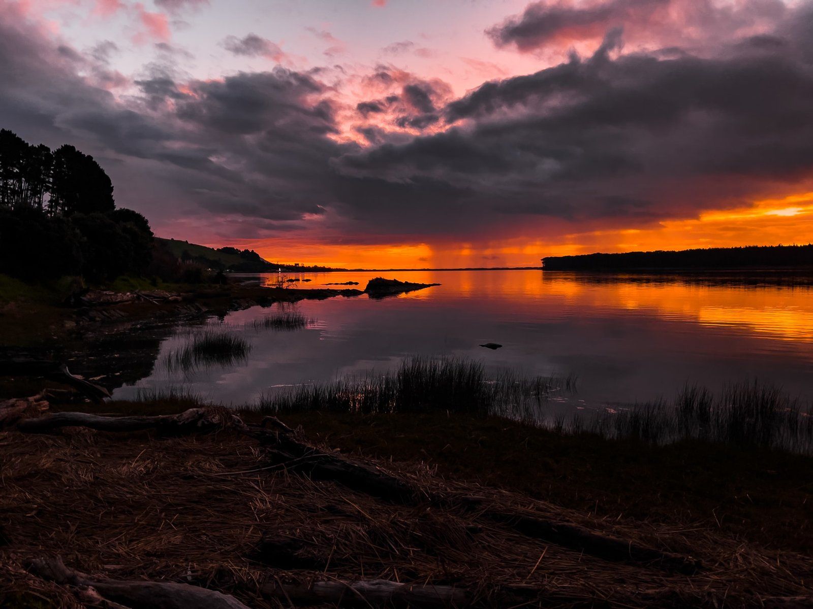
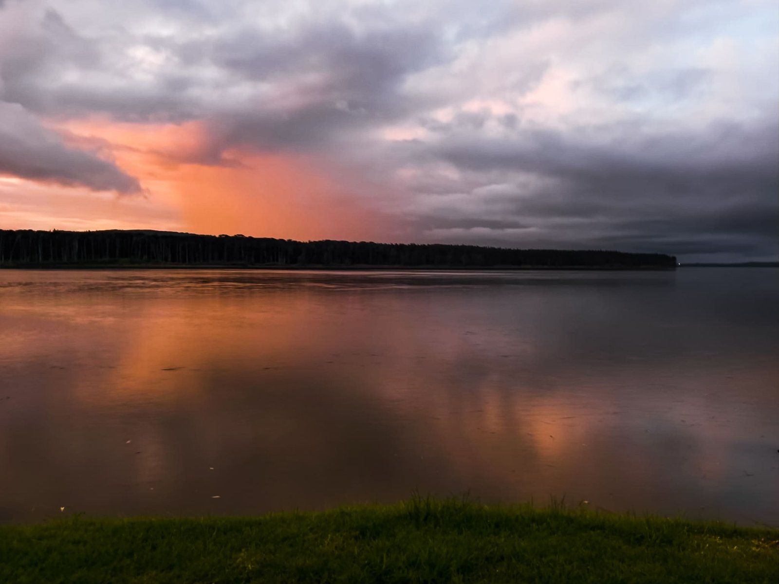
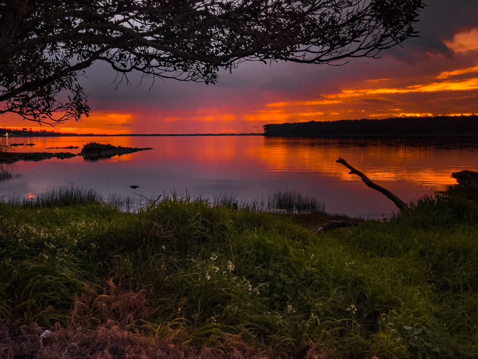
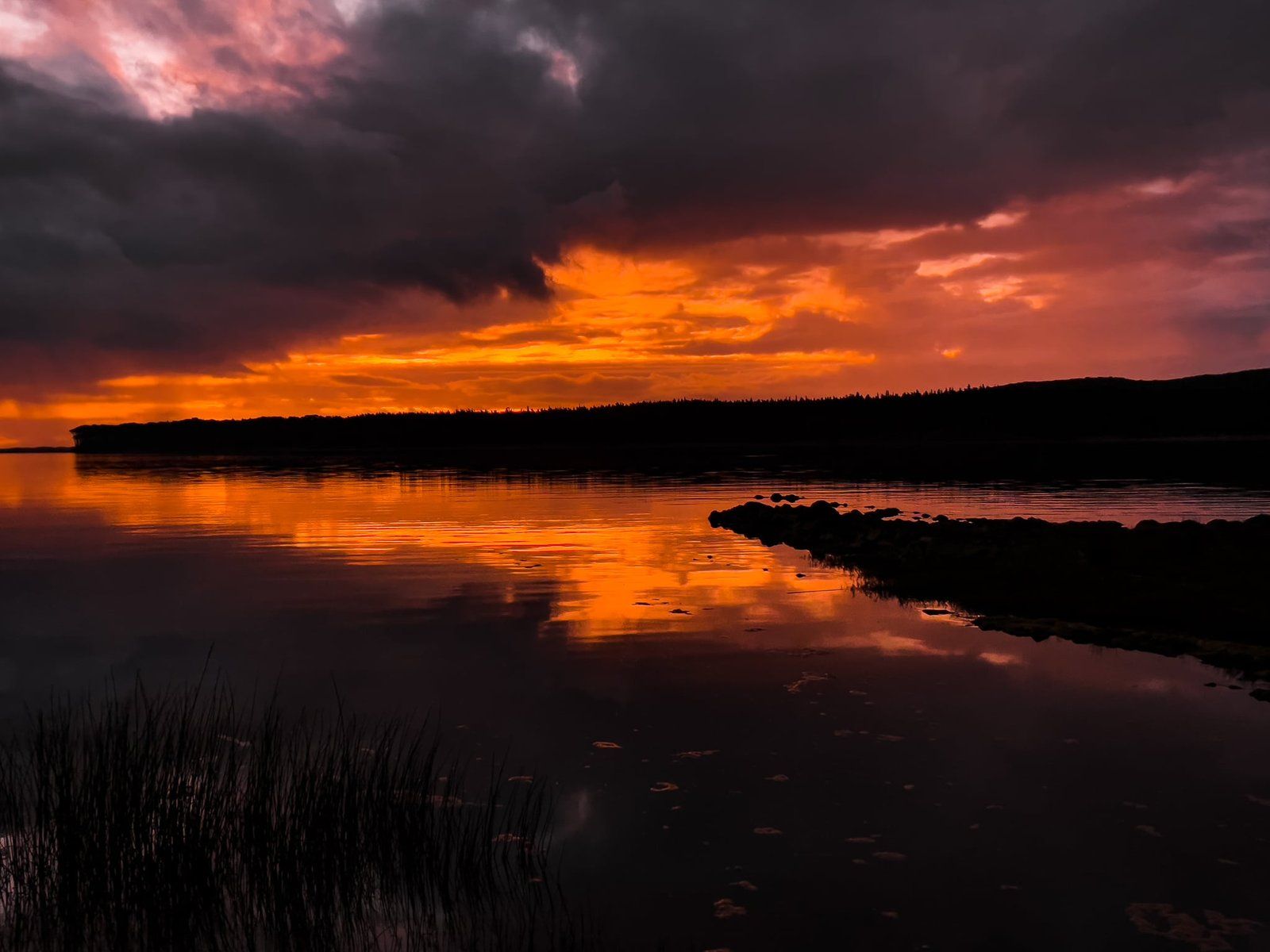
Waikato River
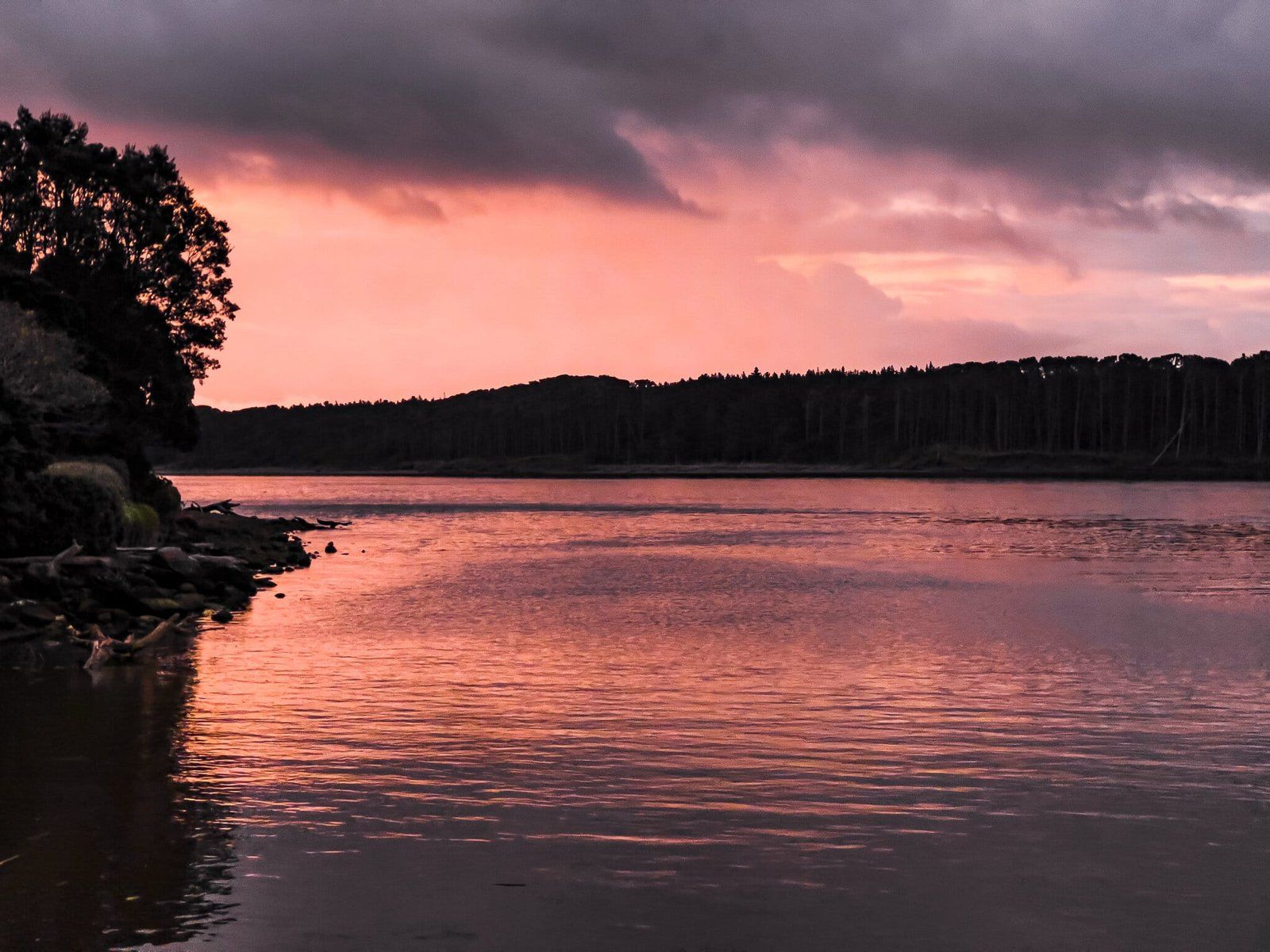
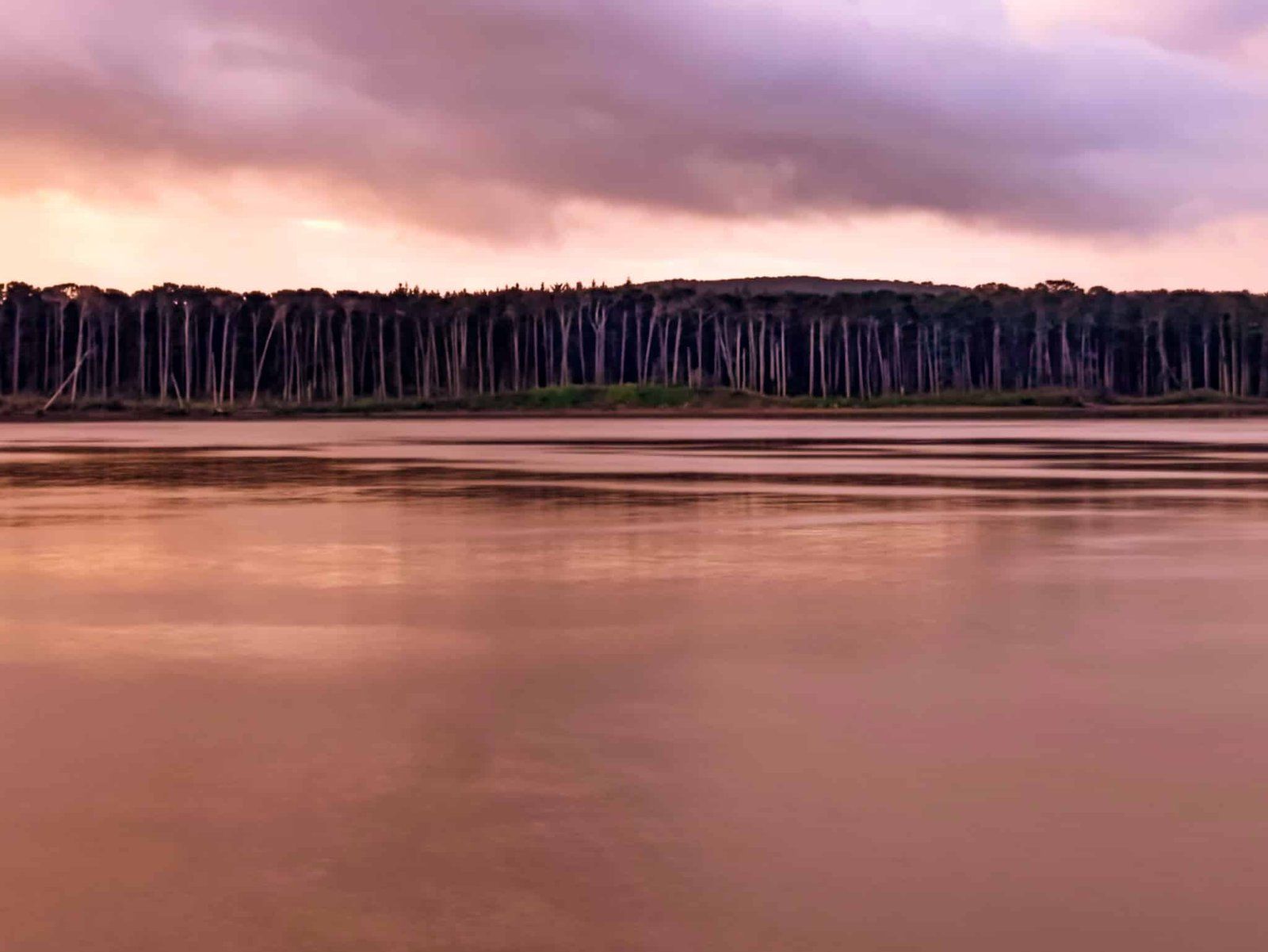
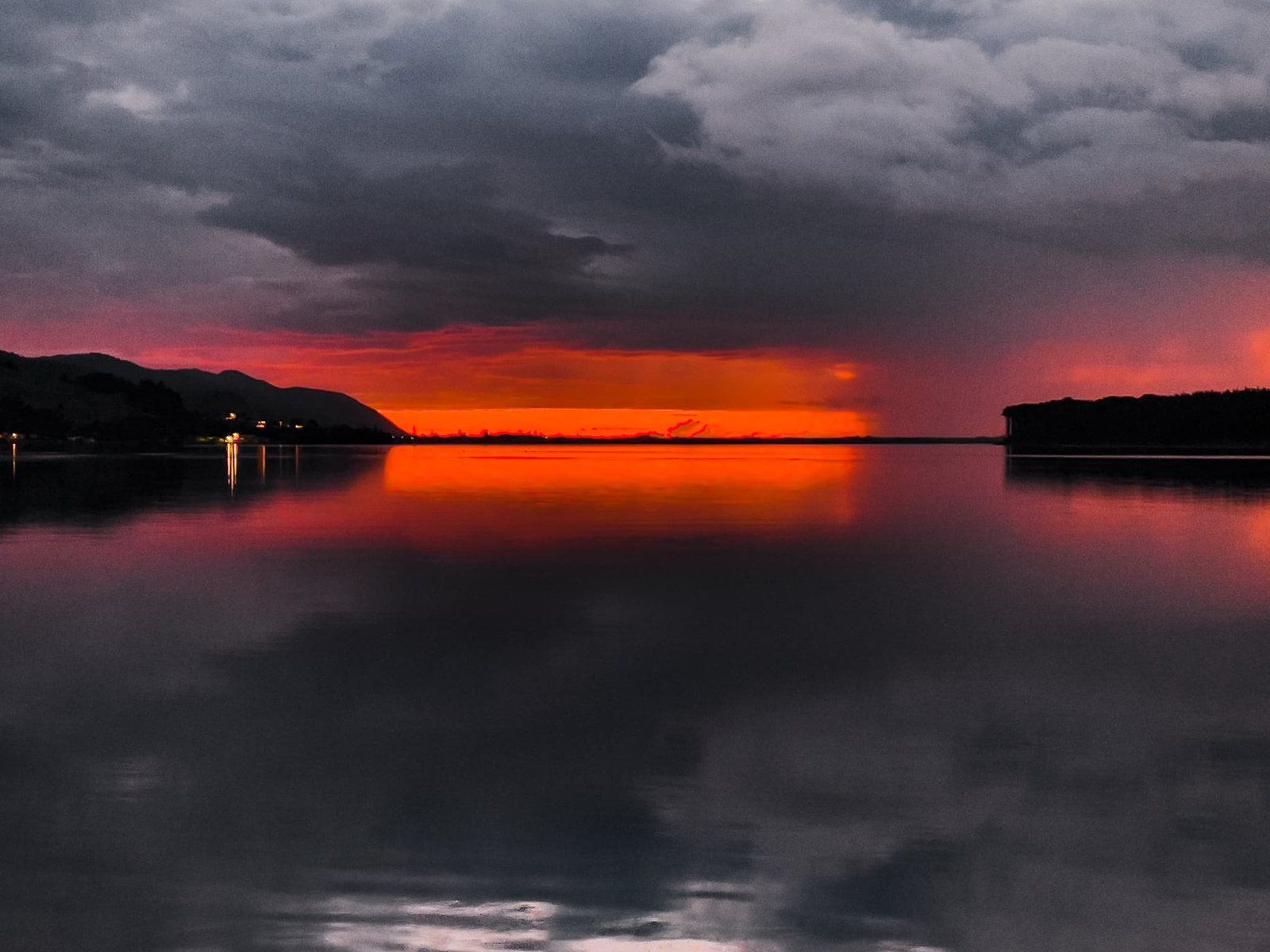
As it curves towards its mouth, the Waikato River faces west for a short section. Drive along Port Waikato Road and find a place to stop looking northwest across the river. Stopping options include the pier next to the general store at the start of the town and, even better, a small reserve about a km along the road. These are the perfect locations for spectacular reflective sunsets in the river, probably the best in its entire 425 km length.
Want more North Island Trip Ideas?
Check out our blogs on the Coromandel Peninsula, exploring the Wairarapa Coastline, and wandering the beaches of Northland.