
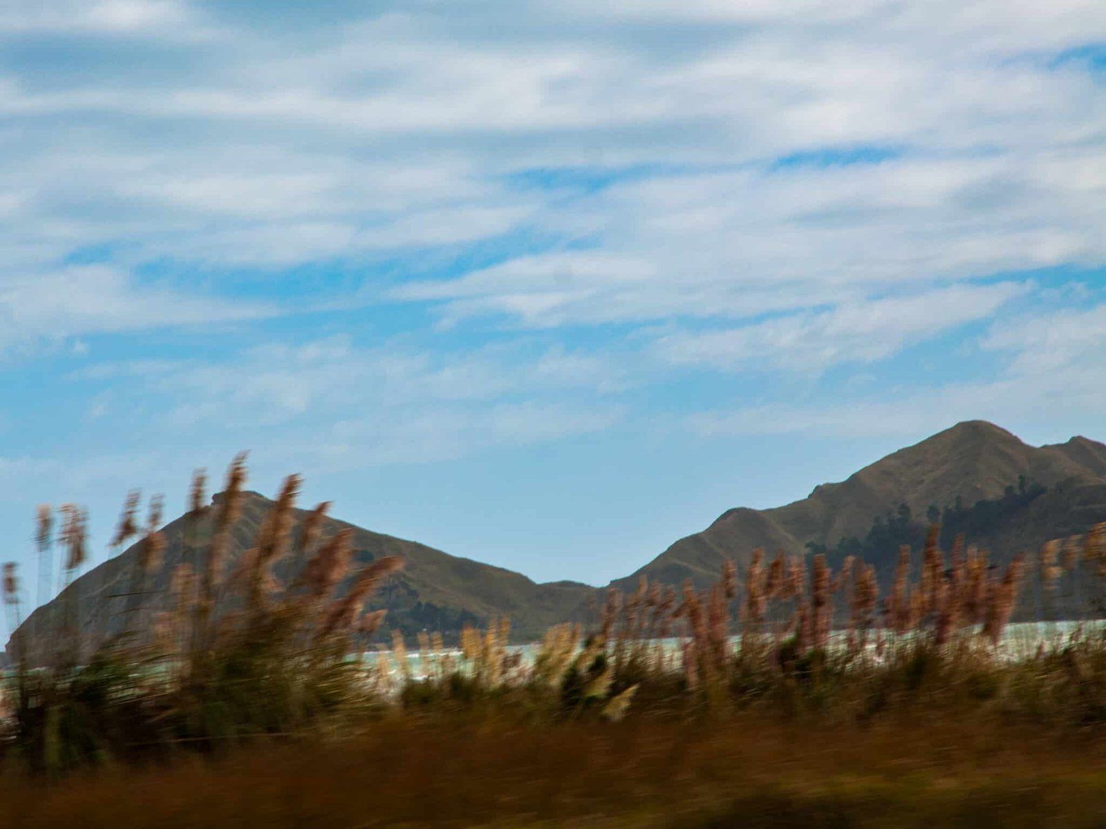
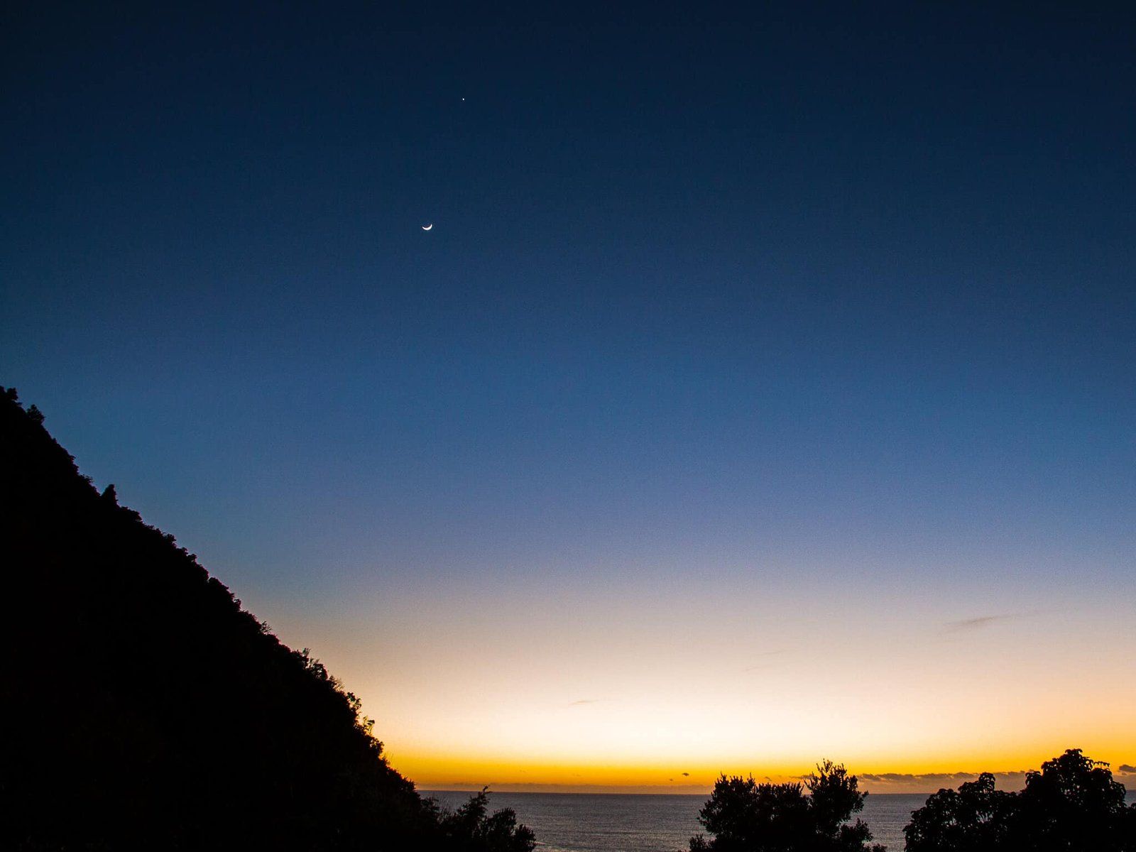
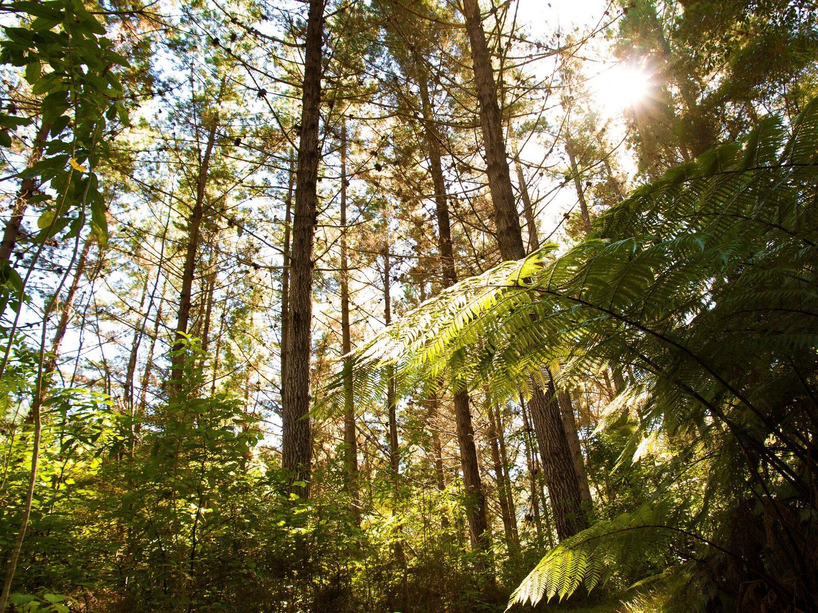
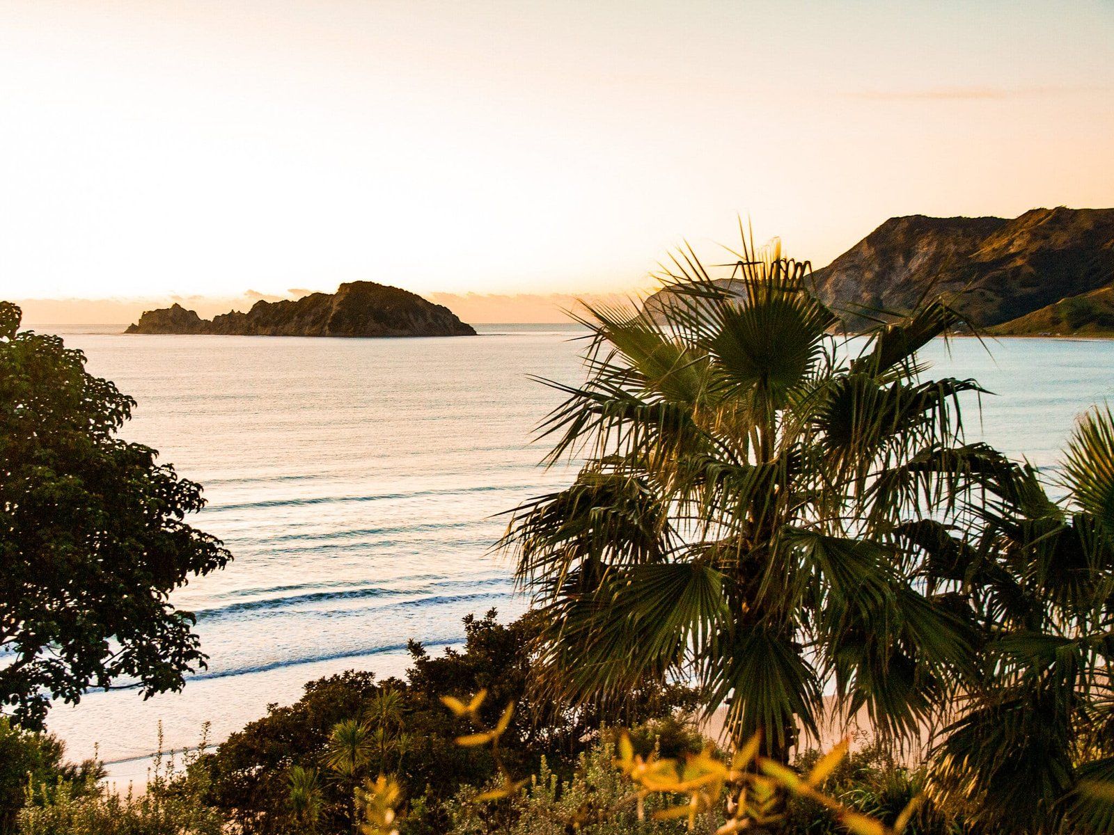
The East Cape is one of the more remote and less travelled parts of the North Island. State Highway 35 runs largely around the edge of the cape between Ōpōtiki in the Bay of Plenty and Gisbourne in Turanganui-a-Kiwa / Poverty Bay. The central region of the cape is dominated by the Raukumara Range and Forest Park. The highpoint of Maunga Hikurangi, sacred to Ngāti Porou, is near Ruatoria, and at 1,752 metres is the highest non-volcanic peak in the North Island.
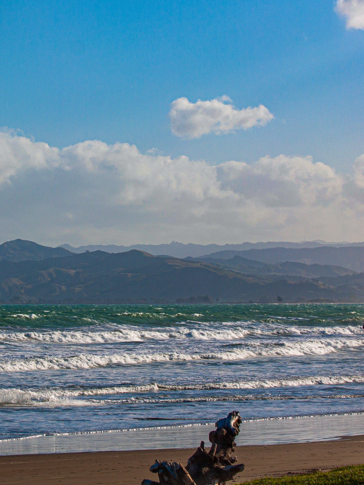
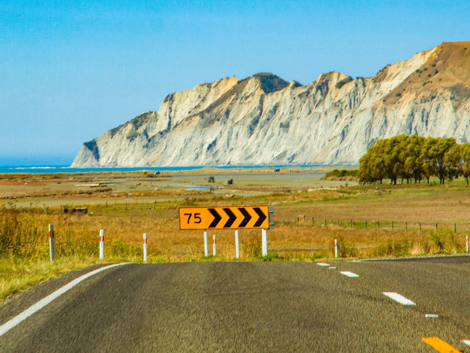
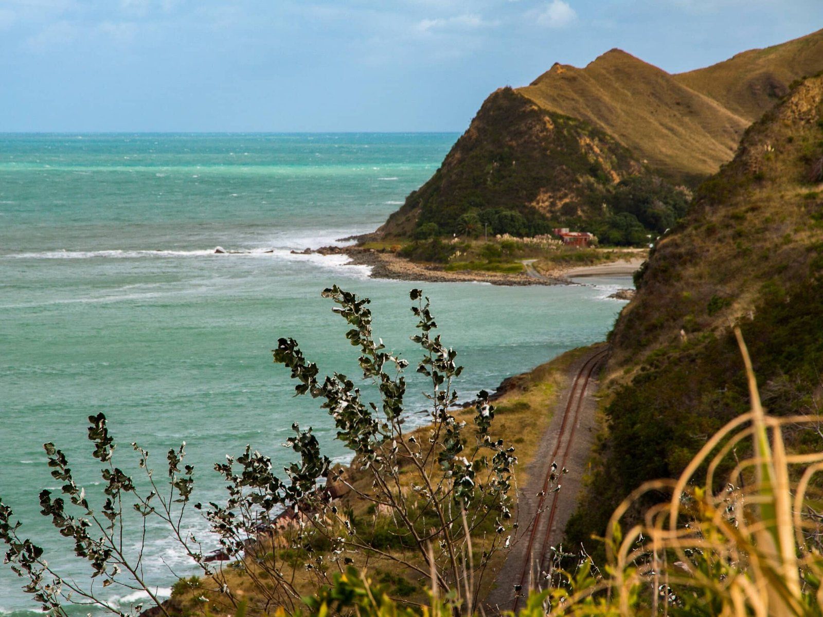
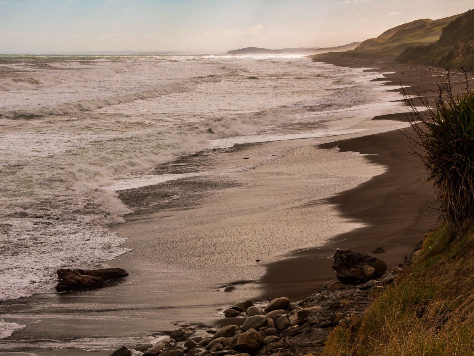
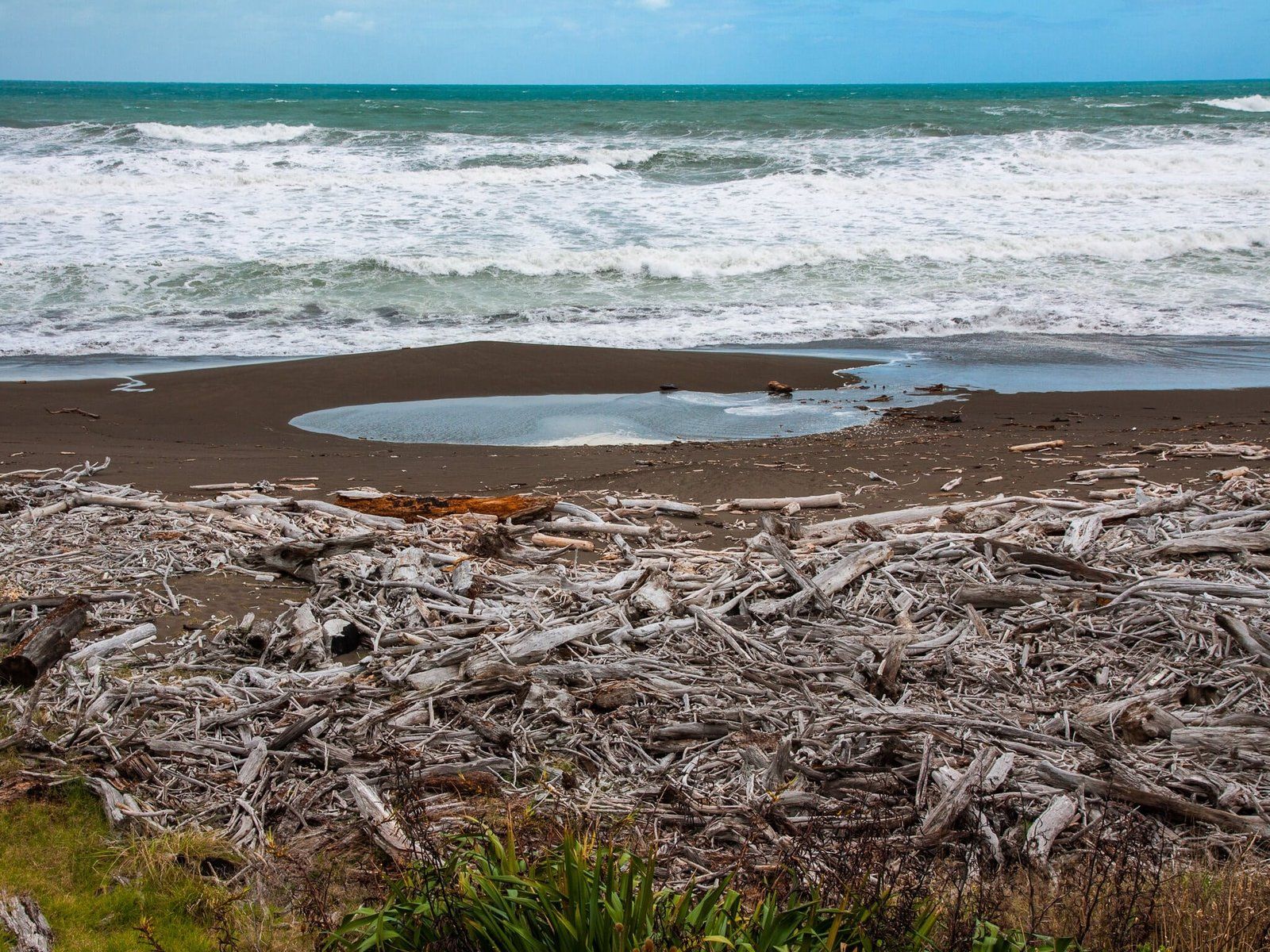
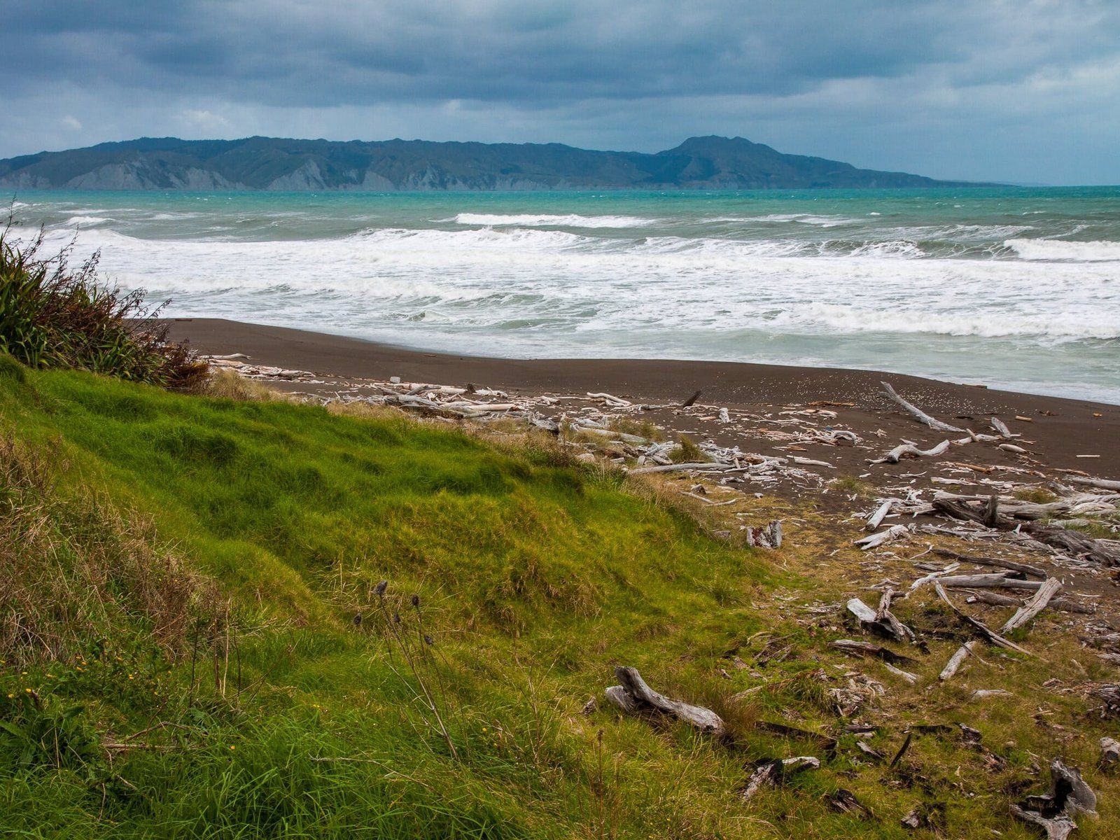
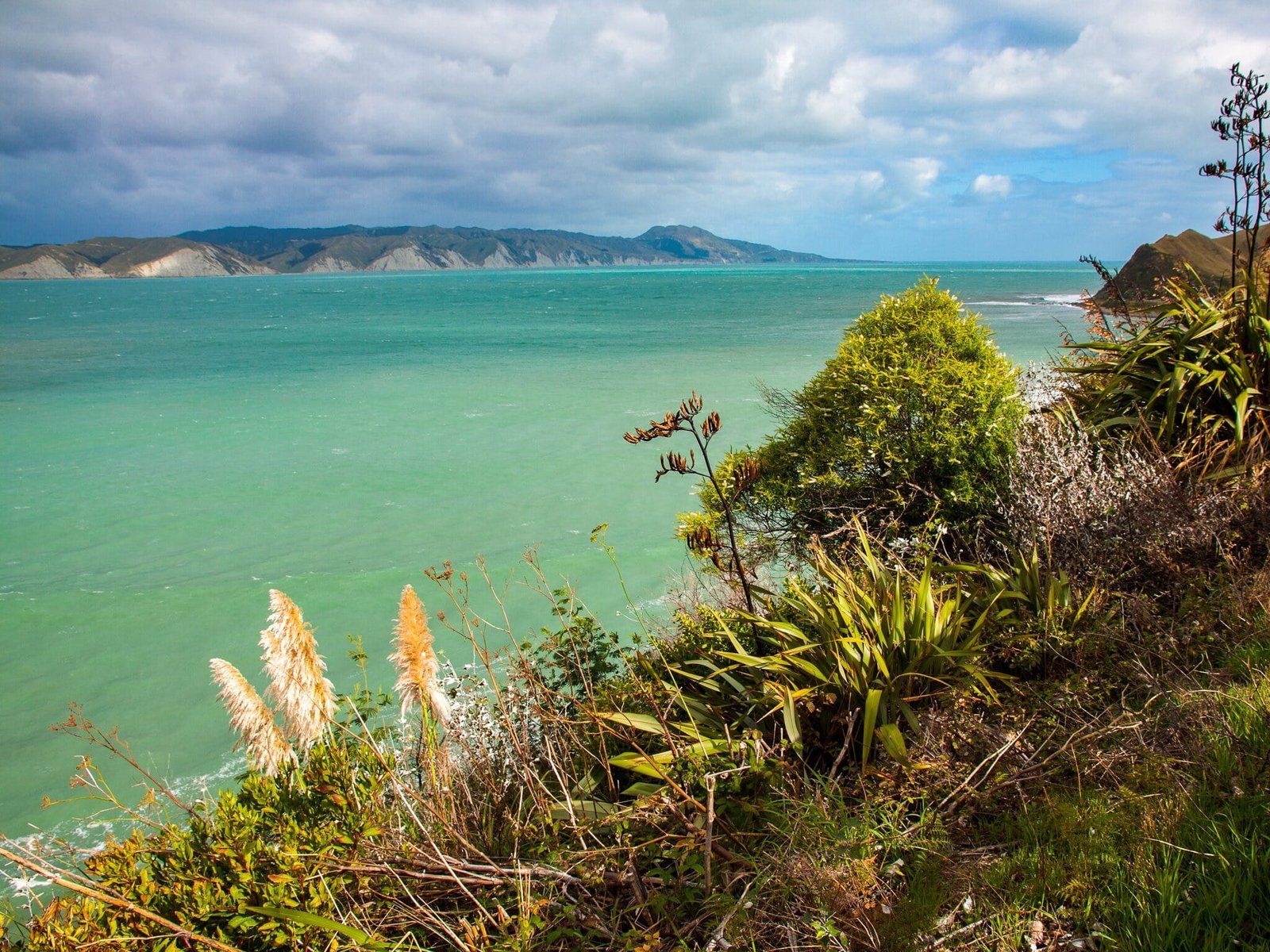
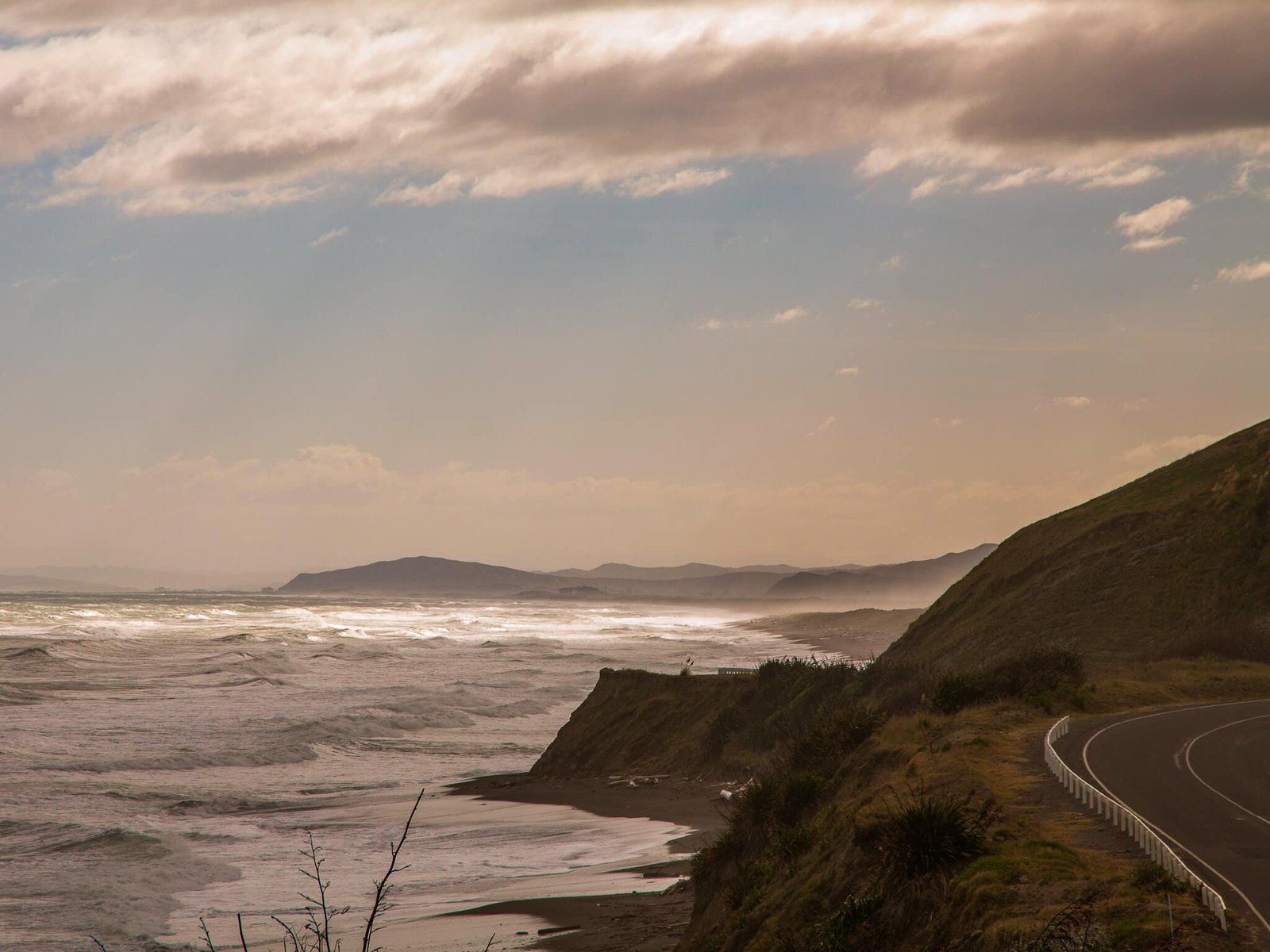
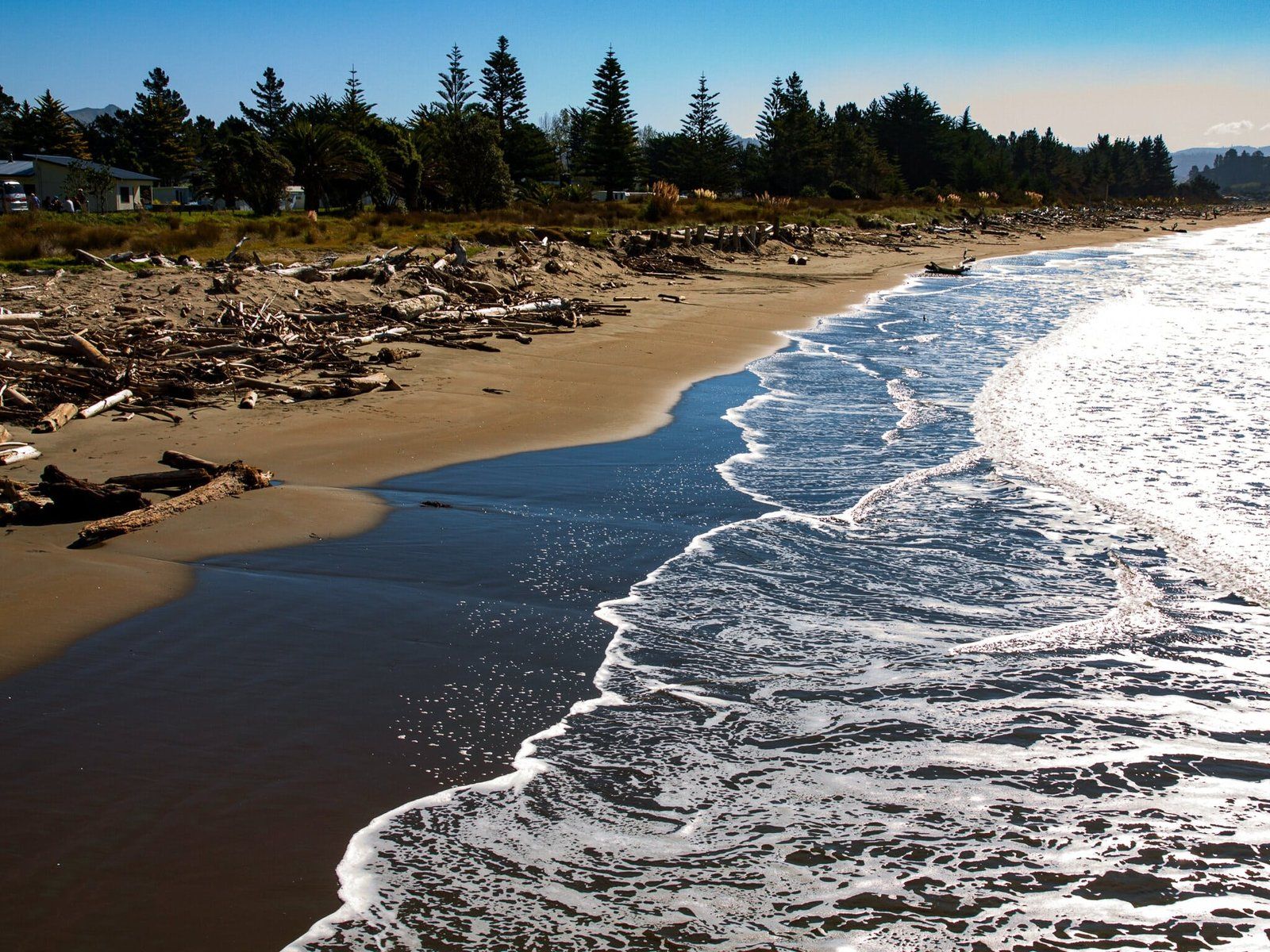
SH 35 is one of the best remote coastal drives in the country. There is little traffic, rolling farmland, forests and beautiful beaches. Interesting Māori and European historical sites are scattered throughout the route. But it is 326 kms with few services and several worthwhile side trips. So it does take a bit of planning, and it’s less rushed if you are able to camp.
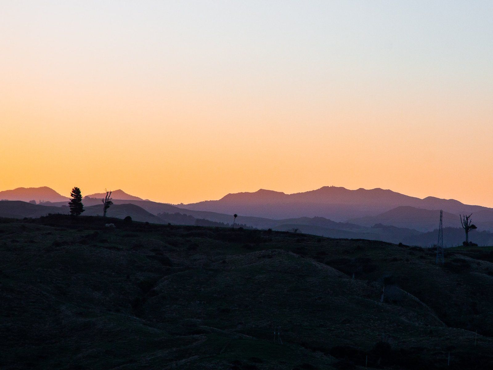
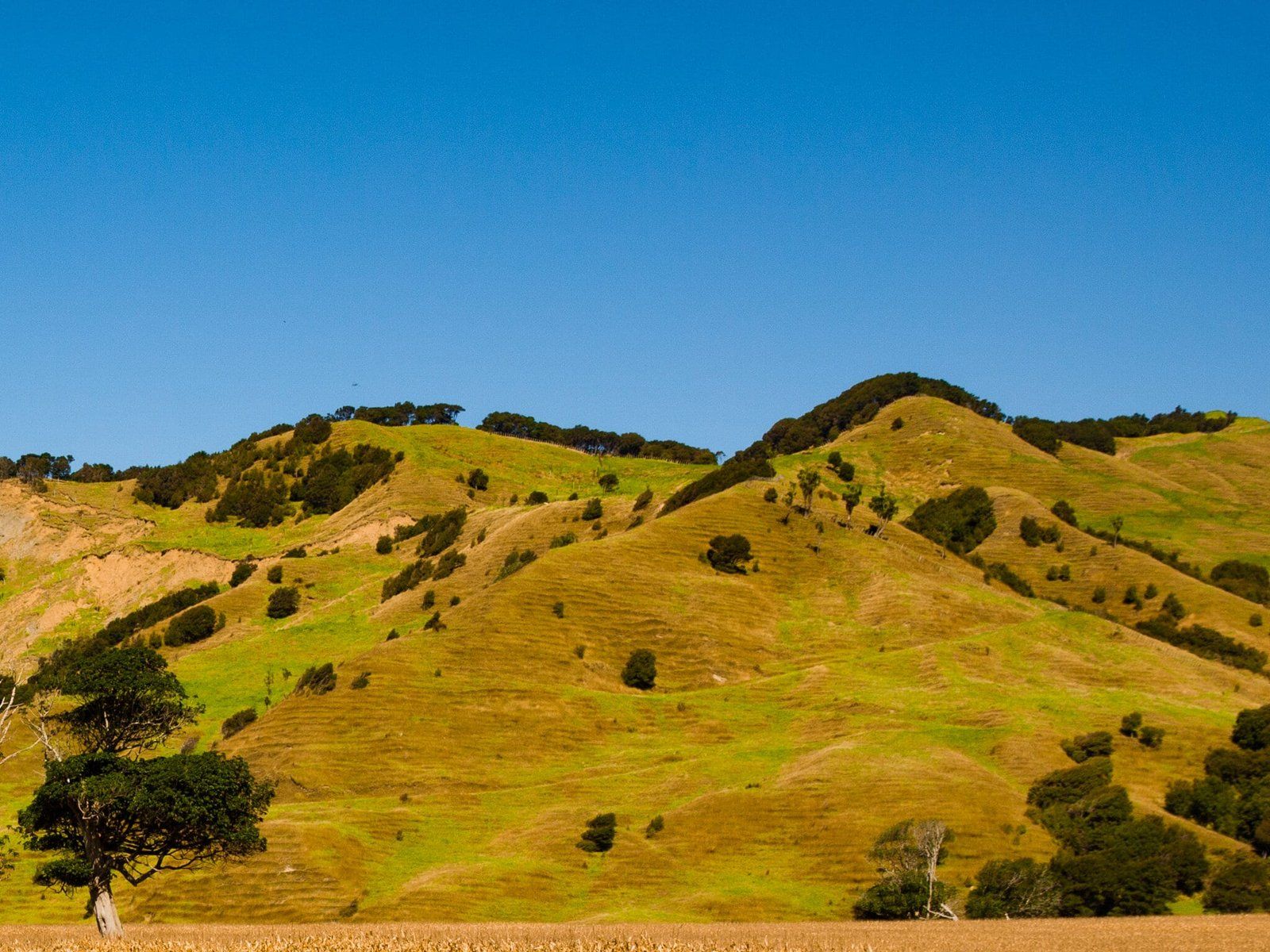
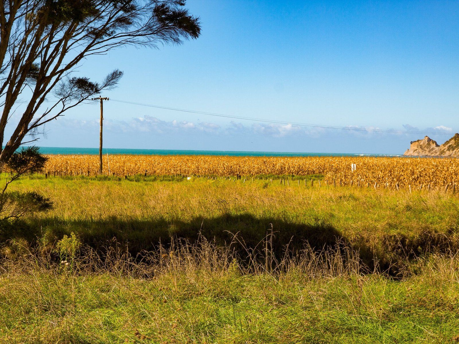
If you have less time but want to get a taste of the Cape, an option is to drive in on SH2 to Gisbourne, from the south or north. From Gisbourne, we explored several fabulous beaches from the Mahia Peninsula (now famous as a rocket launch site) to Tokomaru. A drive into the rural hinterland along Wharekopae Road to the northwest of Gisbourne takes you to the Eastwood Hill National Arboretum and the Rere Falls and Rere Rock Slide. Drive a bit further to the Te Reinga Falls to round out the day.
Turanganui-a-Kiwa Poverty Bay
Captain James Cook in the Endeavour paid particular attention to the area of the North Island from Hawkes Bay and around East Cape to the Bay of Plenty. He landed at many of the beaches, giving the major features their European names. He obviously didn’t think much of “Poverty Bay”, which is in fact a beautiful long crescent shaped beach in front of Gisbourne, with Young Nick’s Head (Te Kuri) to the south. At least young Nick got his name in the history books as the first member of Cook’s crew to sight NZ.
But compare with the name Turanganui-a-Kiwa, meaning the “great standing place of Kiwa”. Kiwa arrived from Hawaiki on the Tākitimu canoe about 400 years before Cook and was the first to step ashore. This event was officially recognised in the double naming of the bay in 2019.
Mahia Peninsula
Mahia Peninsula is about an hour or so south of Poverty Bay Turanganui-a-Kiwa down SH2. It was a beautiful if lesser known hamlet. There are two lovely beaches on the north and south side of the neck of the peninsula – Mahanga and Mahia respectively. There is also the DOC Mahia Peninsula Scenic Reserve with a 4.5 km loop track. This runs through a section of established coastal forest off Kinikini Road, although it was temporarily closed at the time of writing.
The Rocket Lab rocket launch site is down the far end of Mahia East Coast Road at Ahuriri Point. It won’t be much of a distraction unless you feel like an extra dusty drive on a metal road.
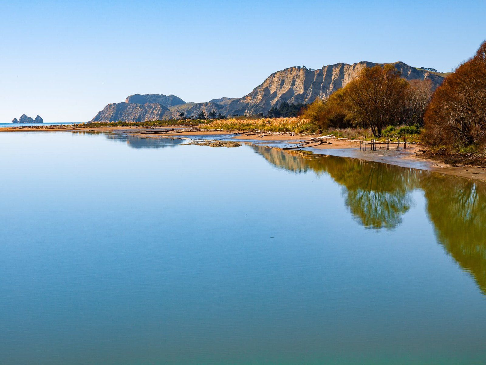
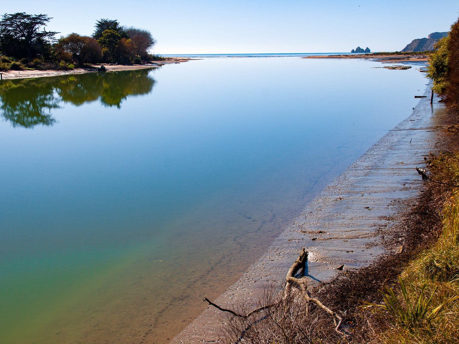
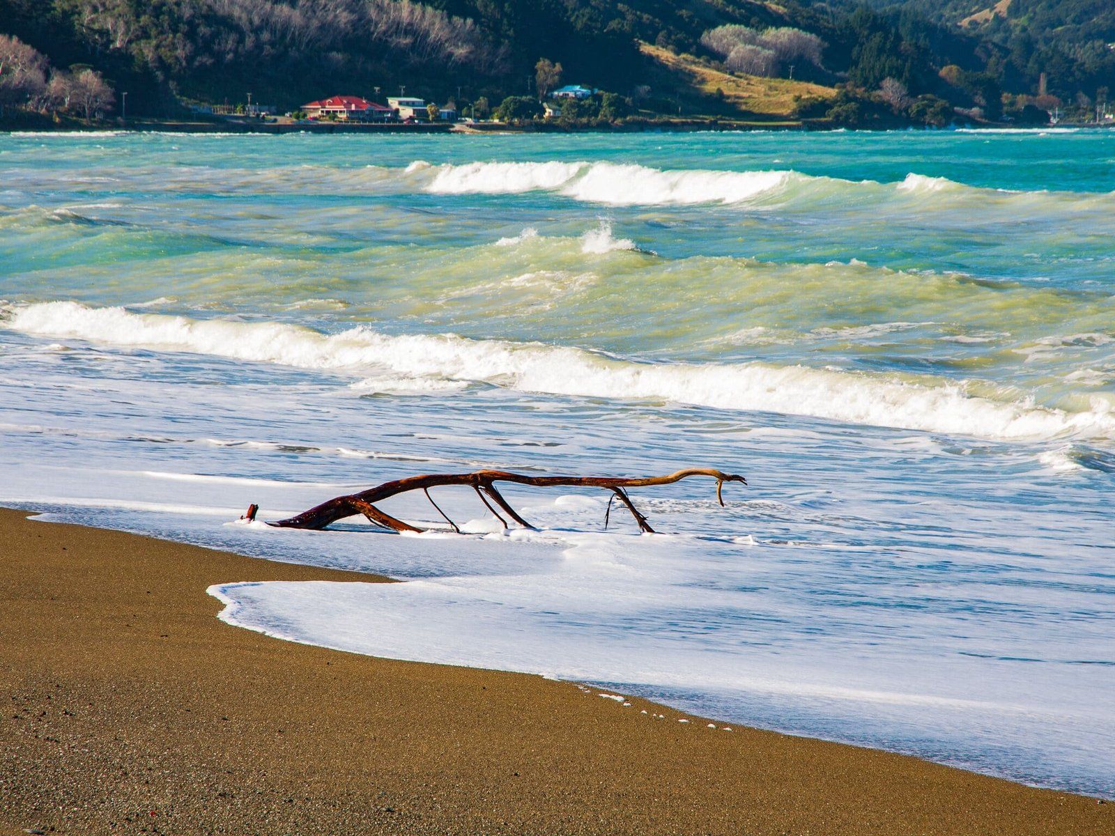
Tolaga Bay
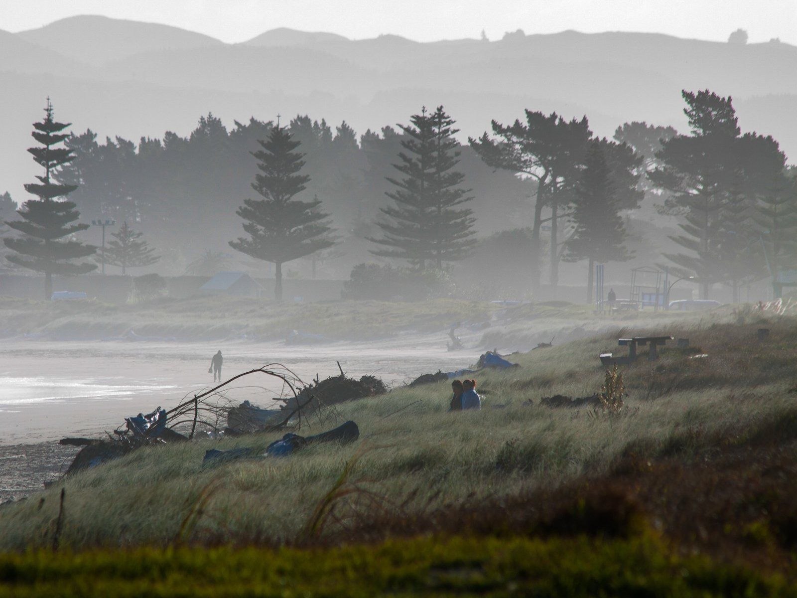
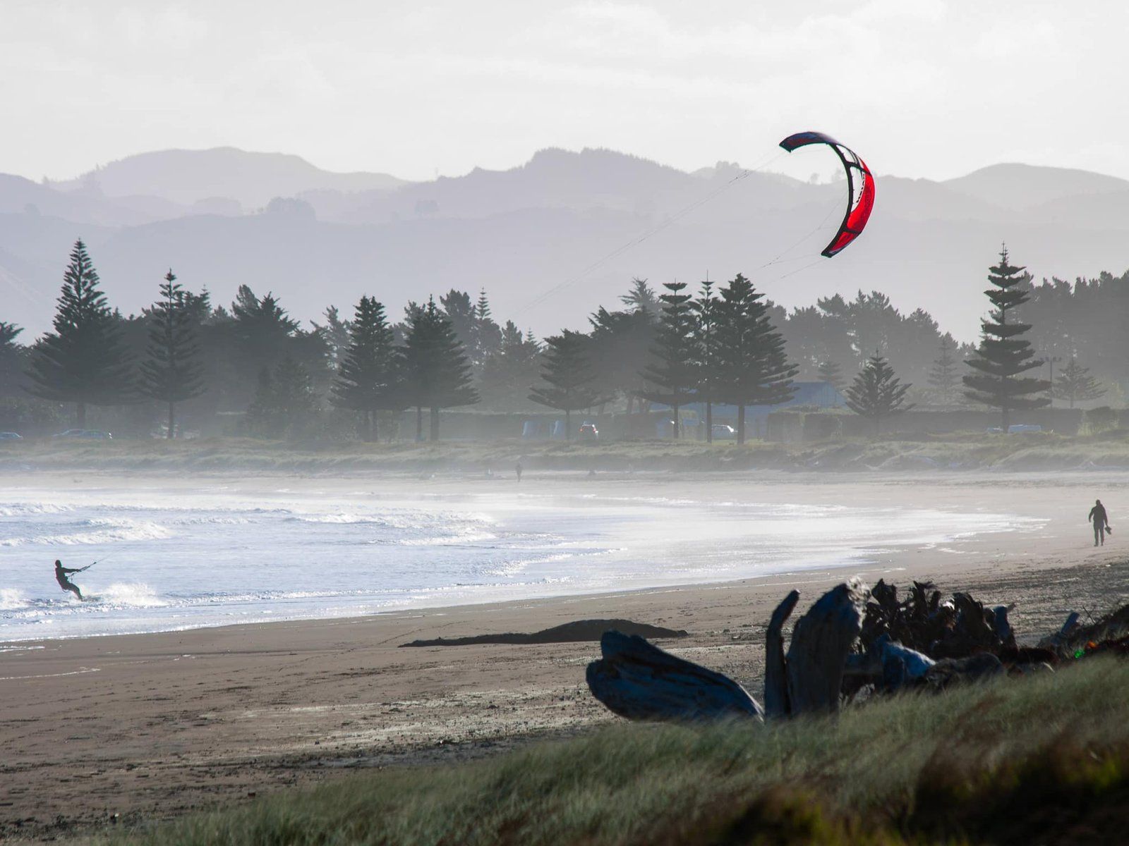
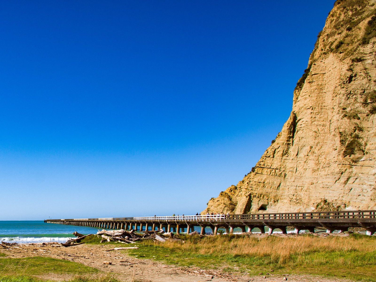
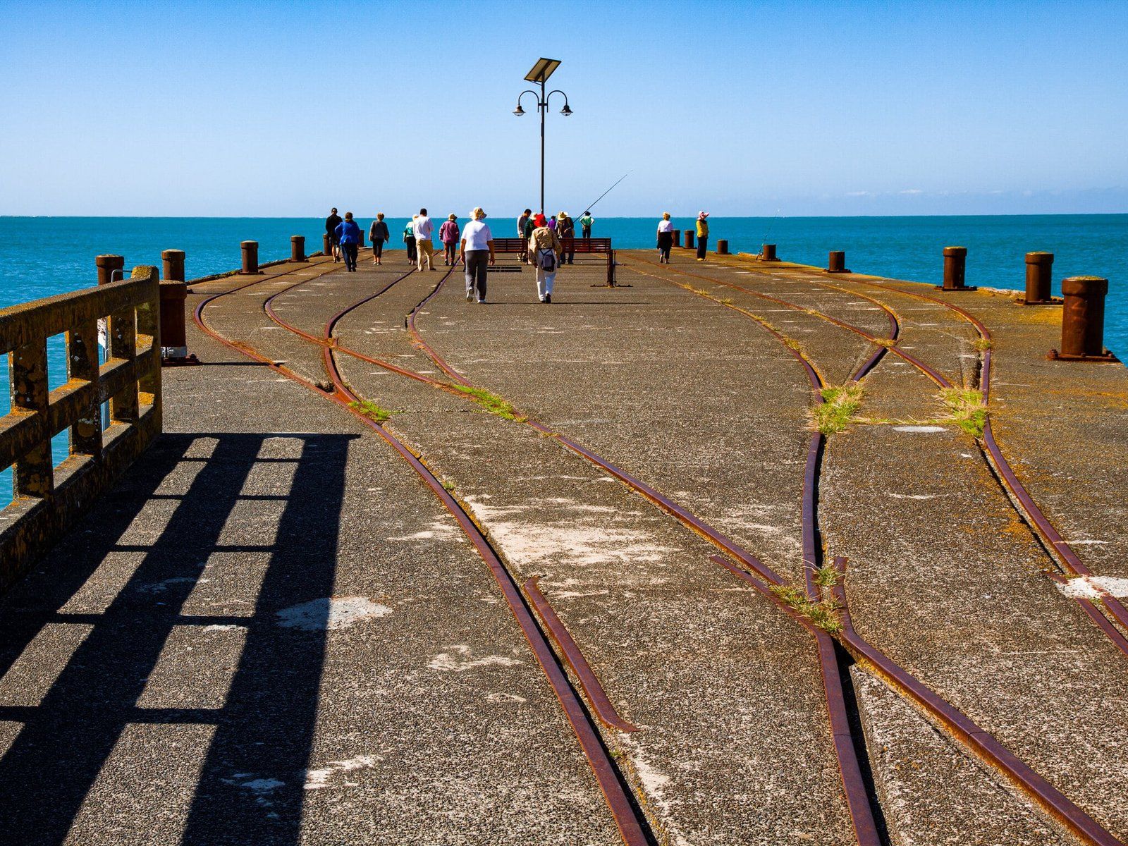
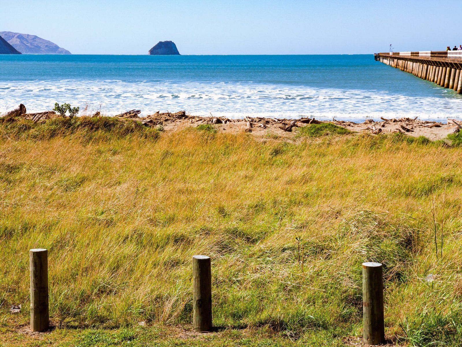
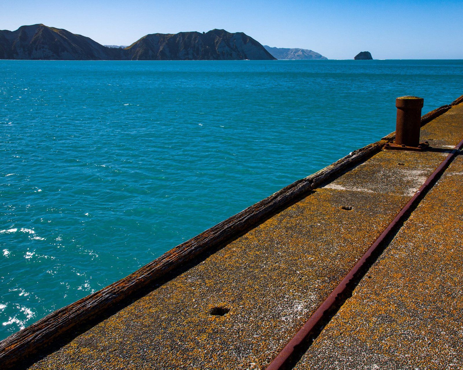
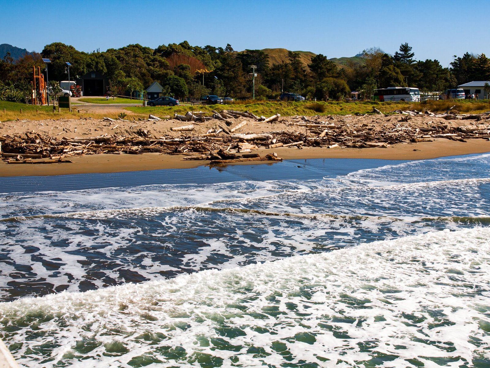
Tolaga Bay is one of the most popular coastal destinations on SH35, the East Cape coastal road. It is a 45 minute drive from Gisbourne and features a 600 metre wharf, as well as a lovely beach. It takes about 30 minutes to walk to the end of the wharf and back.
The wharf dates back to 1929 and allowed coastal trading ships to load and offload goods. Such wharfs were major access points to the outside world from East Cape until the road was completed. You will see a similar, but smaller example further north at Tokomaru Bay. The Tolaga Bay Wharf has been extensively restored and is now a leading tourist attraction on the cape, as well as a top fishing spot.
The arrival of Captain James Cook and their friendly reception from local Māori is also part of the area’s history. There is a walkway along the cliffs to the southeast of the wharf to Cooks Cove, where the Endeavour moored for a time while supplies were replenished. Both the European visitors and local Māori were left with a positive experience of this first contact.
There is camping by the beach, plus a couple of shops and a cafe.
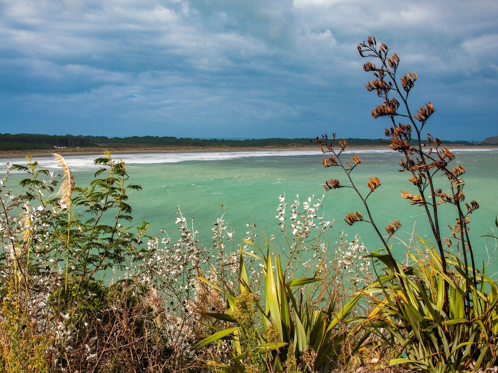
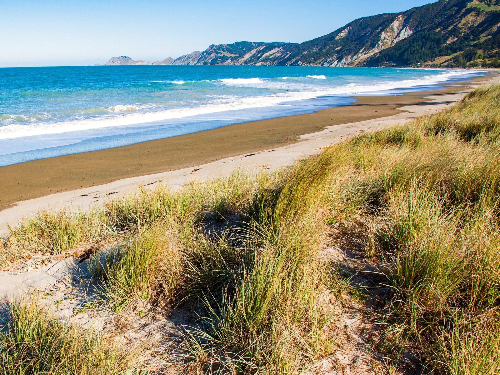
Anaura Bay
Anaura Bay is a beautiful bay with safe swimming. Some have even written that it is the prettiest beach in NZ, although the competition is very fierce! It requires a side trip down Anaura Road from a turnoff on SH35 about 12 minutes north of Tolaga Bay.
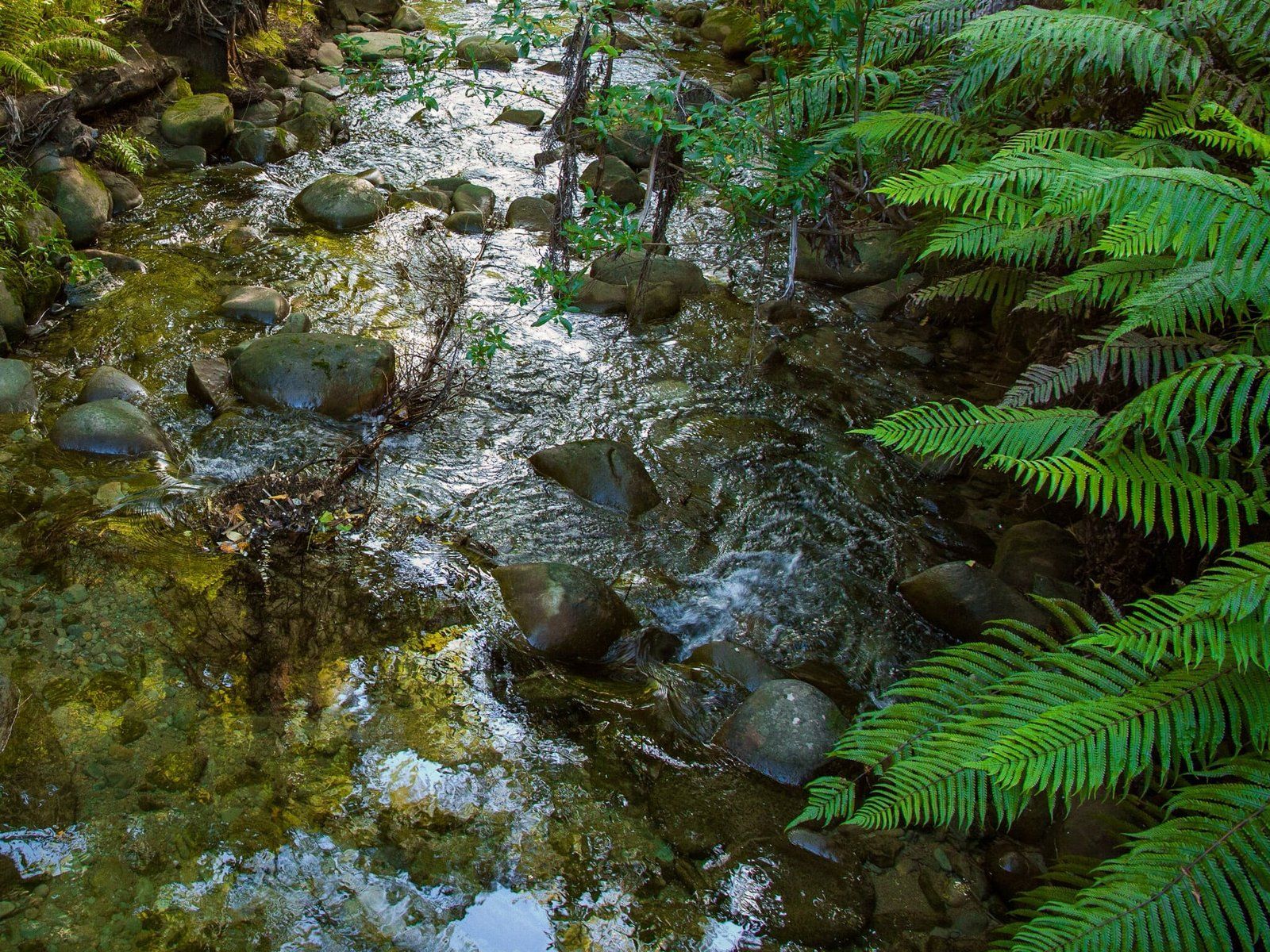
Once there, it is very quiet with a marae at the south end of the beach, and a few houses at the north end. You can also camp in the bay at the north end near the entrance to the Anaura Bay Walkway. This track climbs quite steeply to about 150 metres above the beach. It then drops down through a pine forest to follow the Waipare Stream back to the beach.
Captain James Cook landed there in 1769 in search of suppliers and there is a plaque near the end of the access road.
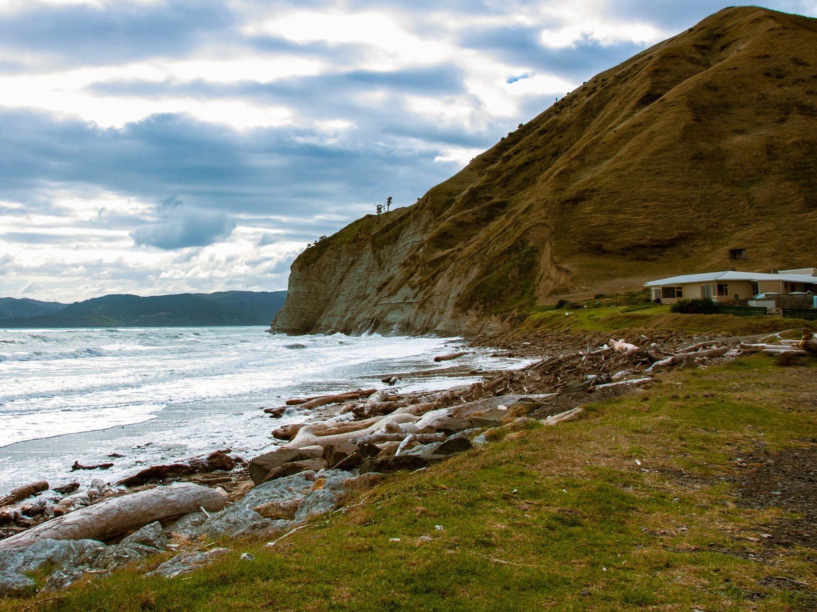
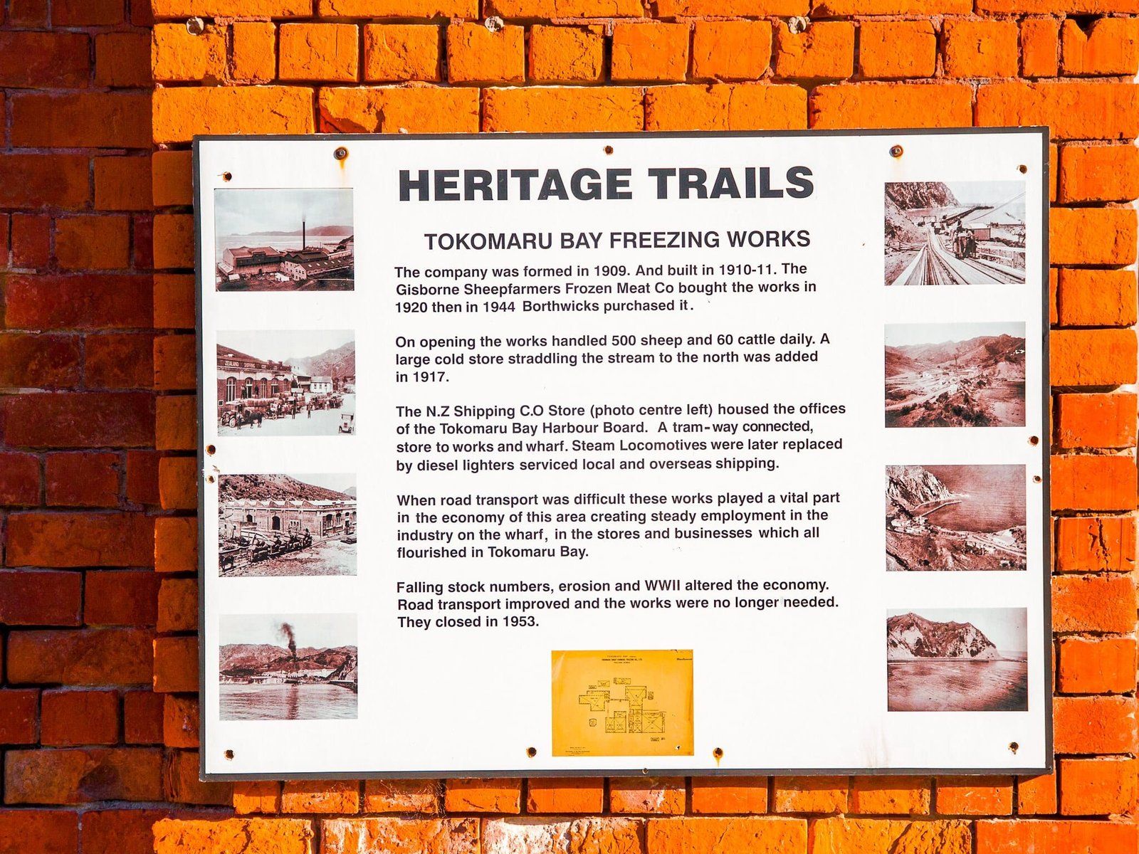
Tokomaru Bay
Tokomaru Bay is a coastal village with another beautiful beach, about an hour and 15 minutes drive north of Gisborne. There is a shop, cafe and a pub, plus camping at both ends of the bay.
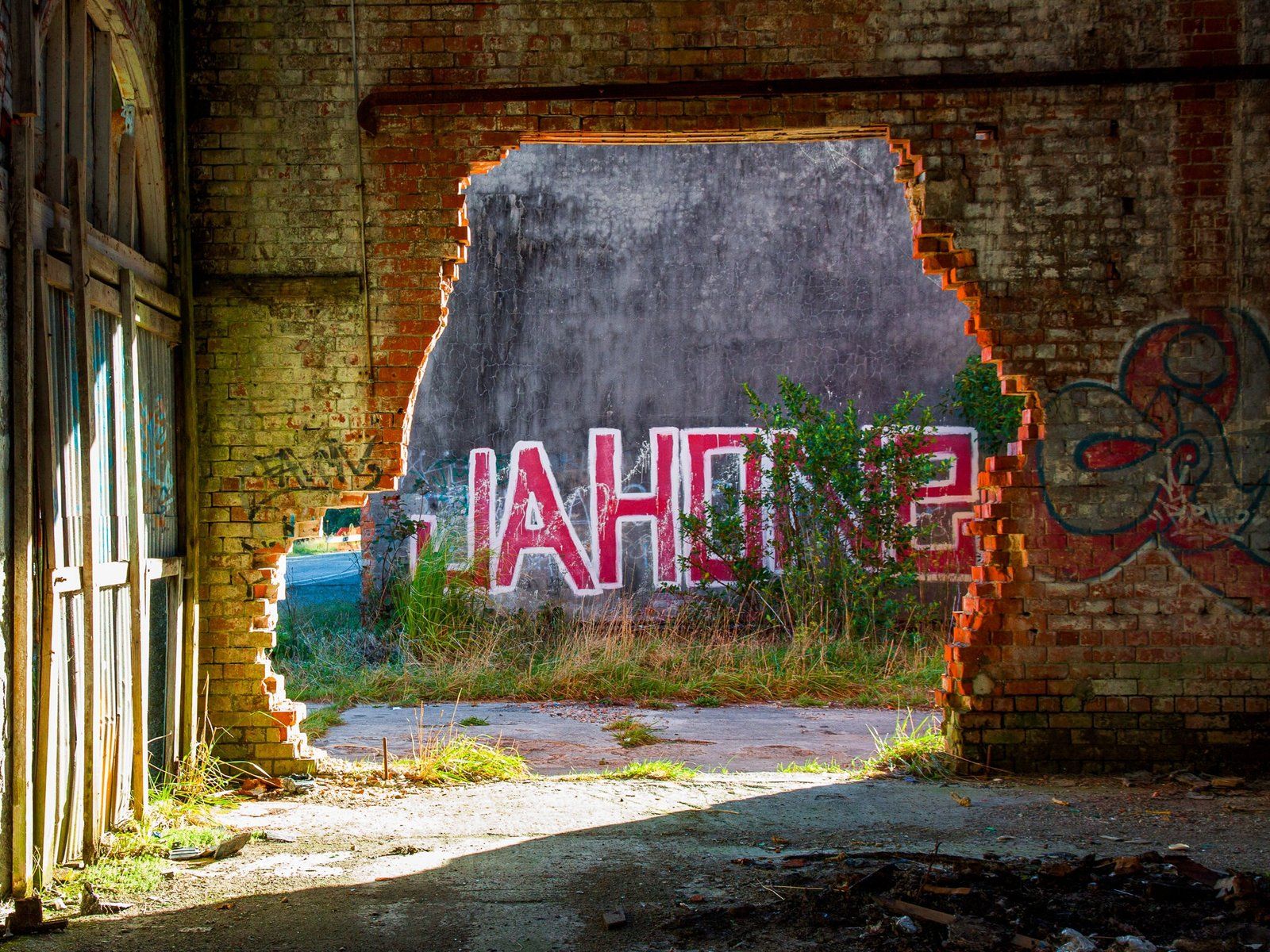
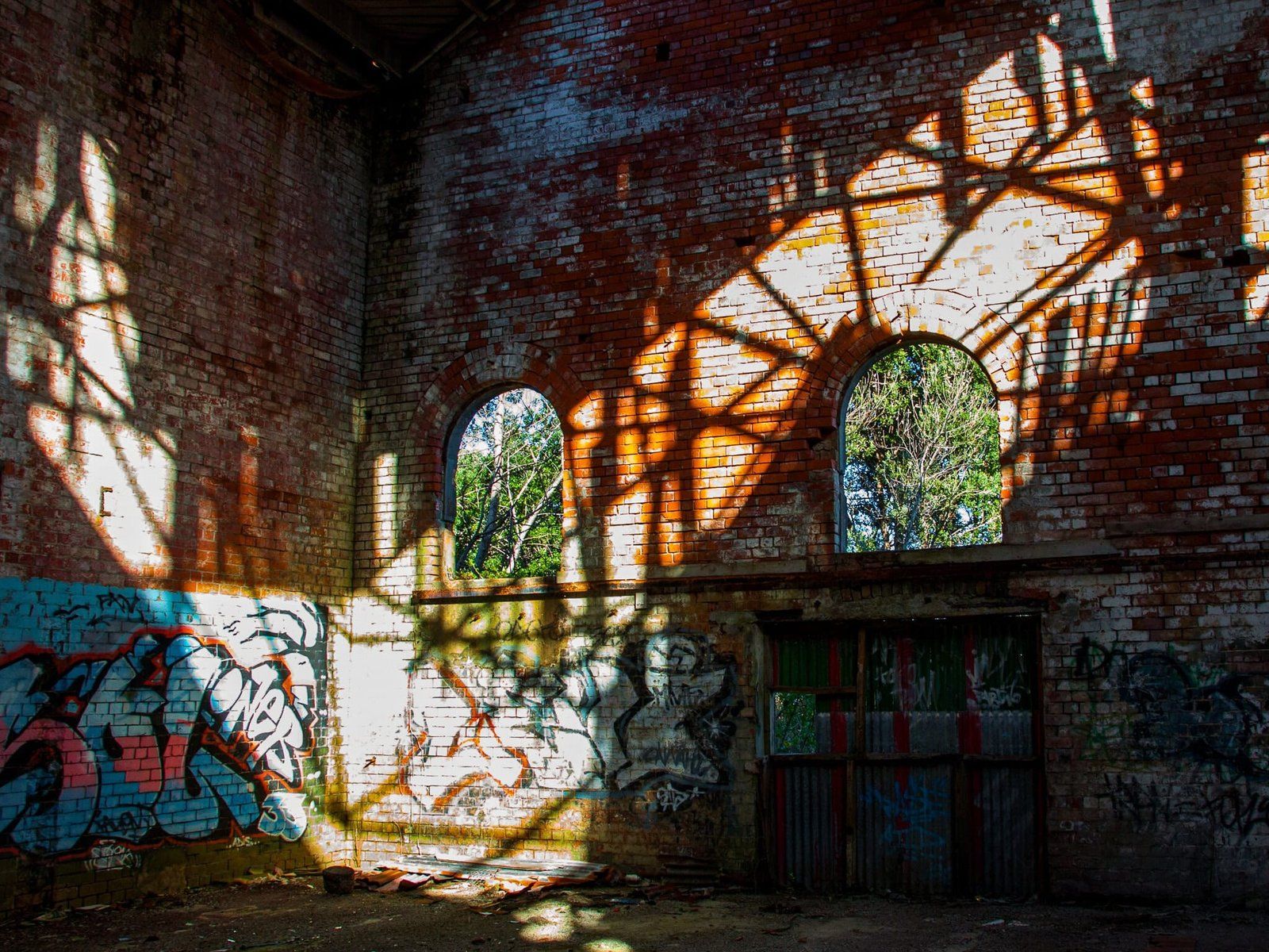
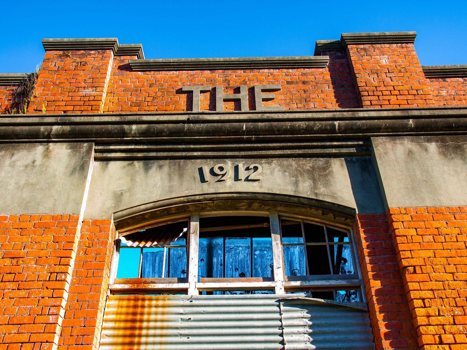
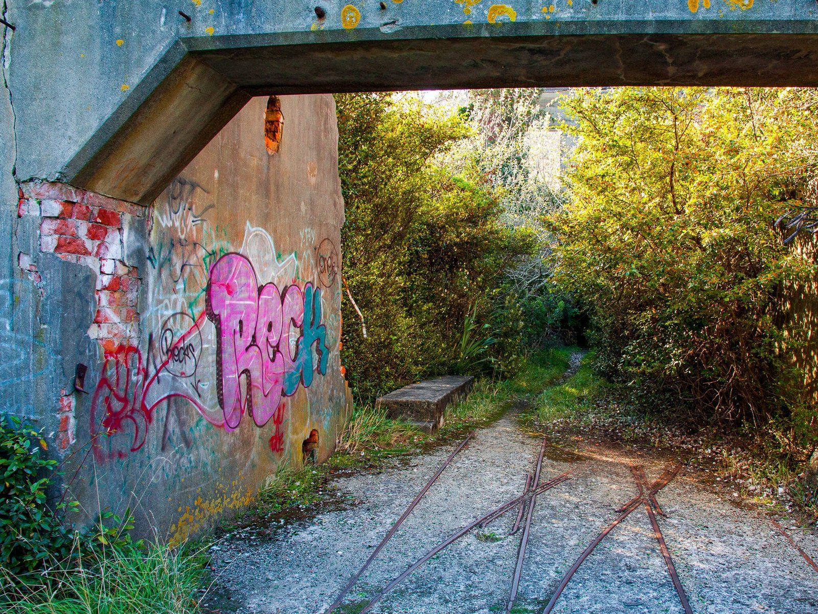
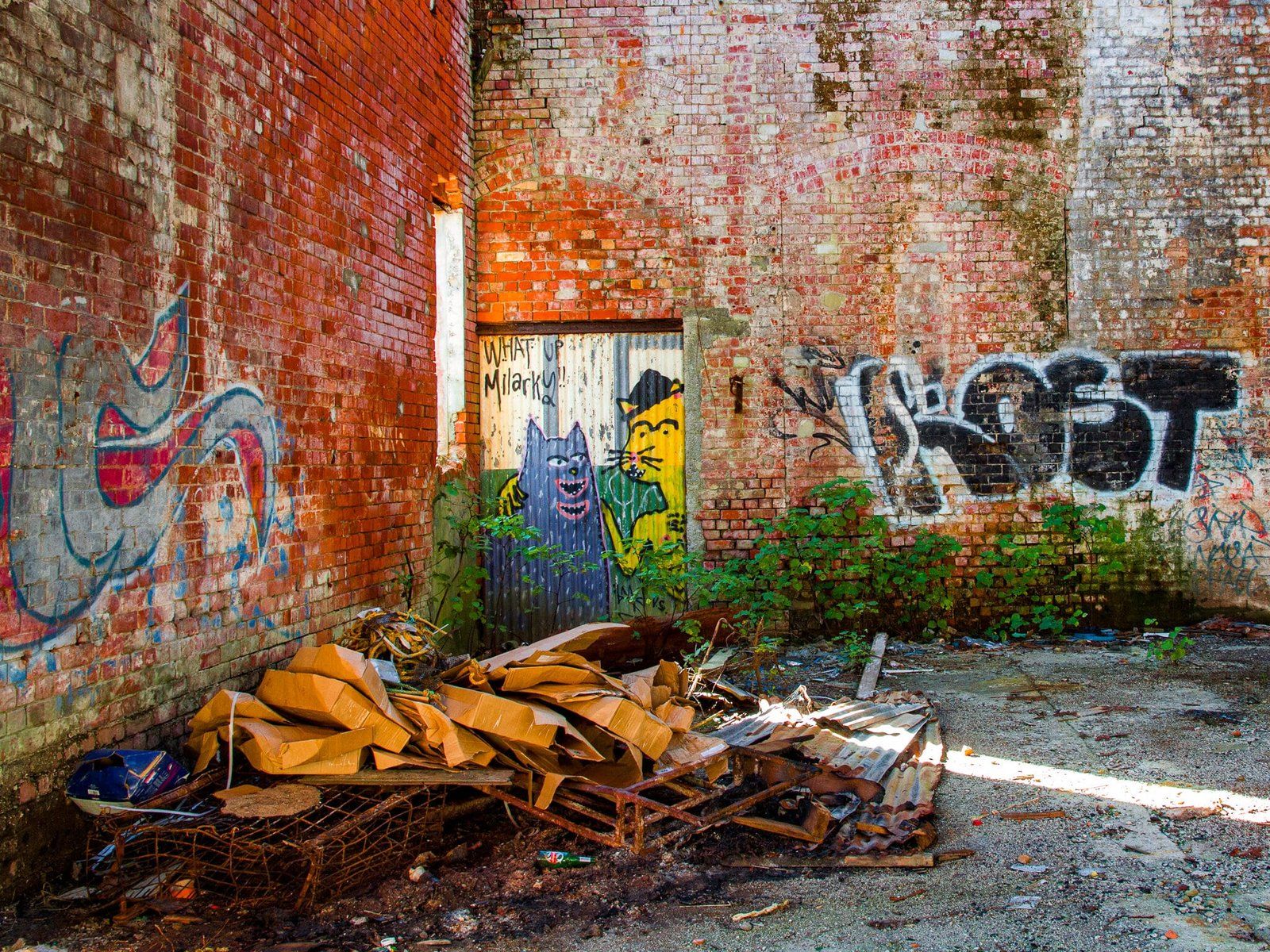
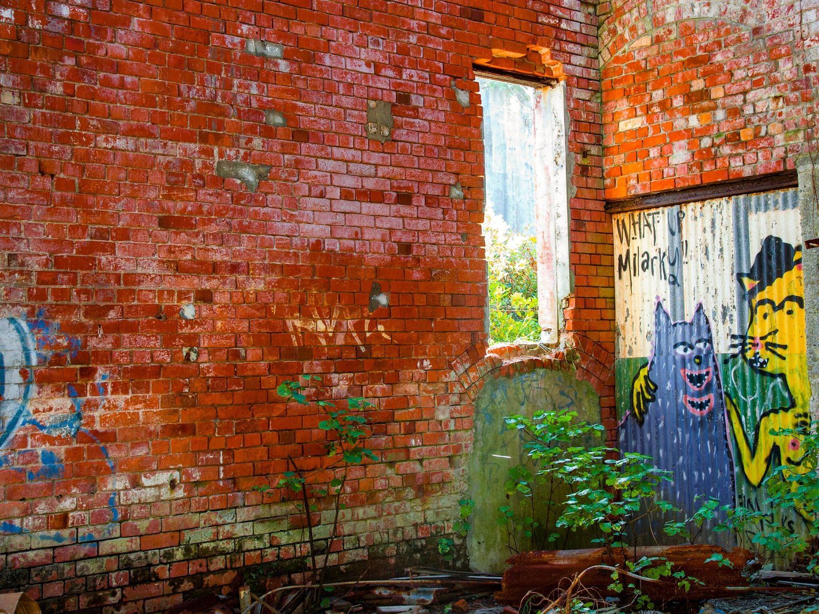
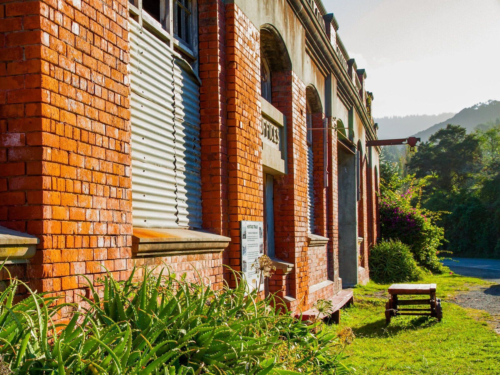
There is also an interesting set of industrial ruins, once the Tokomaru freezing works, at Waima Cove to the north. The restored Tokomaru Wharf is just beyond the ruins and is another example of how trade was conducted prior to the road being completed. Follow Beach Road along the bay from the middle of the town to the end of the road.
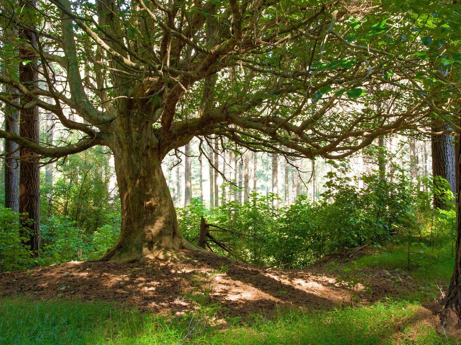
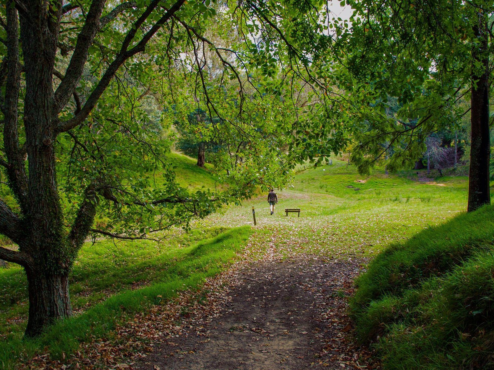
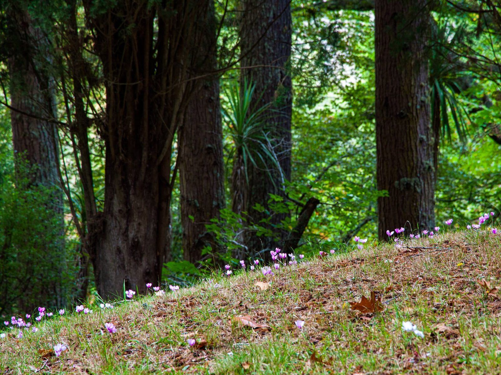
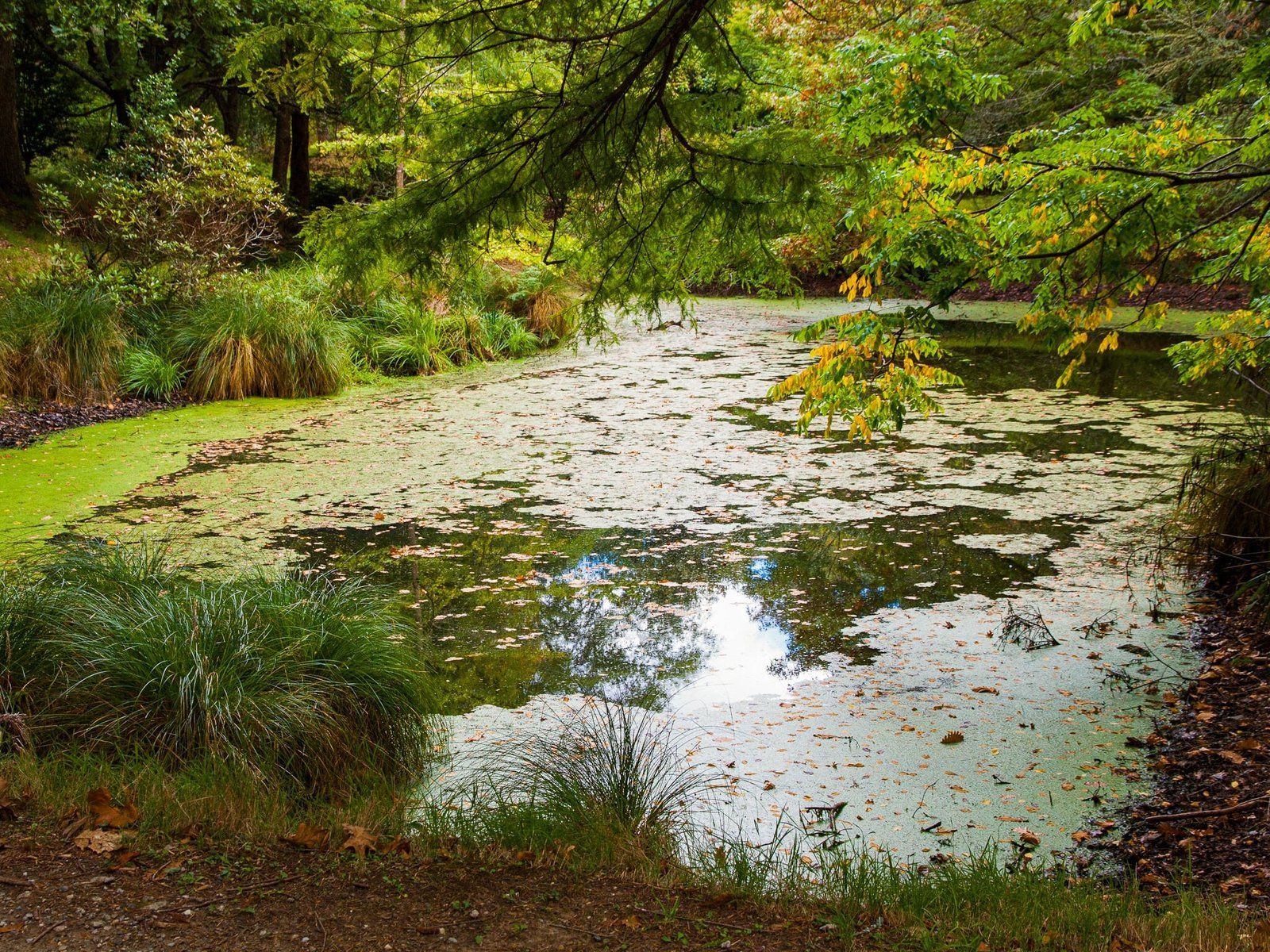
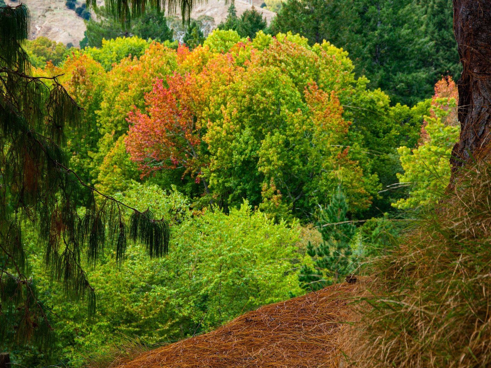
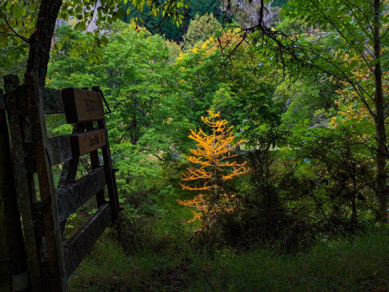
Eastwood Hill National Arboretum
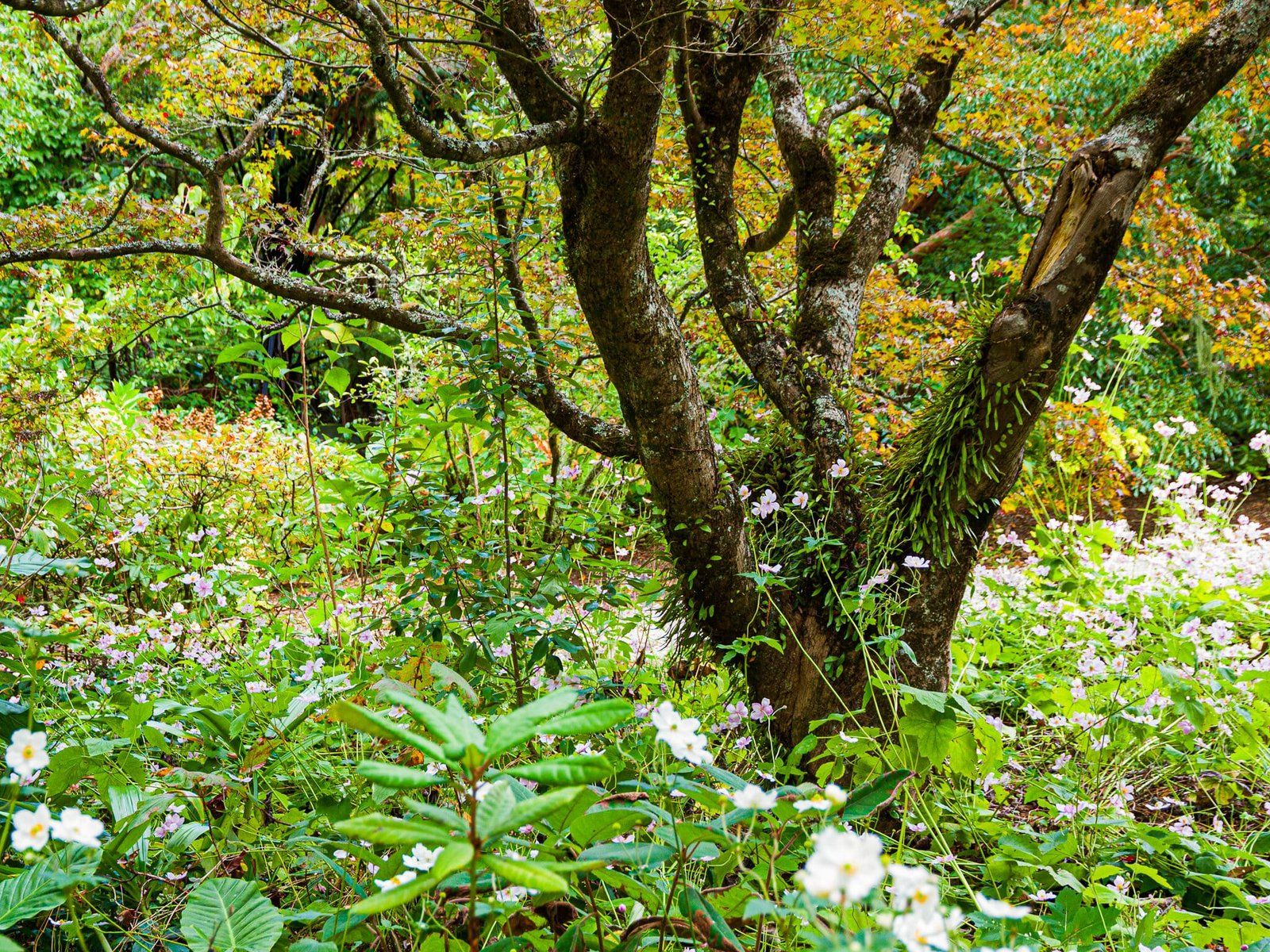
You will find Wharekopae Road off SH2 to the east of Gisbourne. Follow this scenic road, initially through vineyards, along a valley then into rolling hills for 20 minutes to the Eastwood Hill National Arboretum. There is a modest access fee and a number of mostly easy walks through the arboretum plus a historic one-hectare homestead garden dating from 1910.
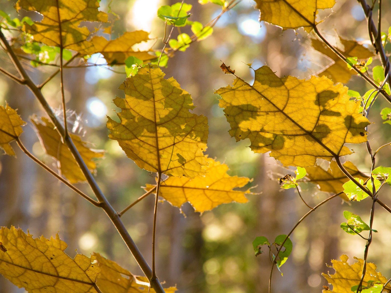
The arboretum holds the most comprehensive collection of exotic trees in NZ with 4,000 different kinds of trees, shrubs and climbers on its 135-hectares. It was initially established by Douglas Cook and has since been expanded by the Eastwoodhill Trust Board. It includes 170 species on the International Union for Conservation of Nature world endangered list. Although it is worth visiting anytime of the year, autumn could be the most interesting for kiwis. It is full of mature deciduous trees that put on a colour show.
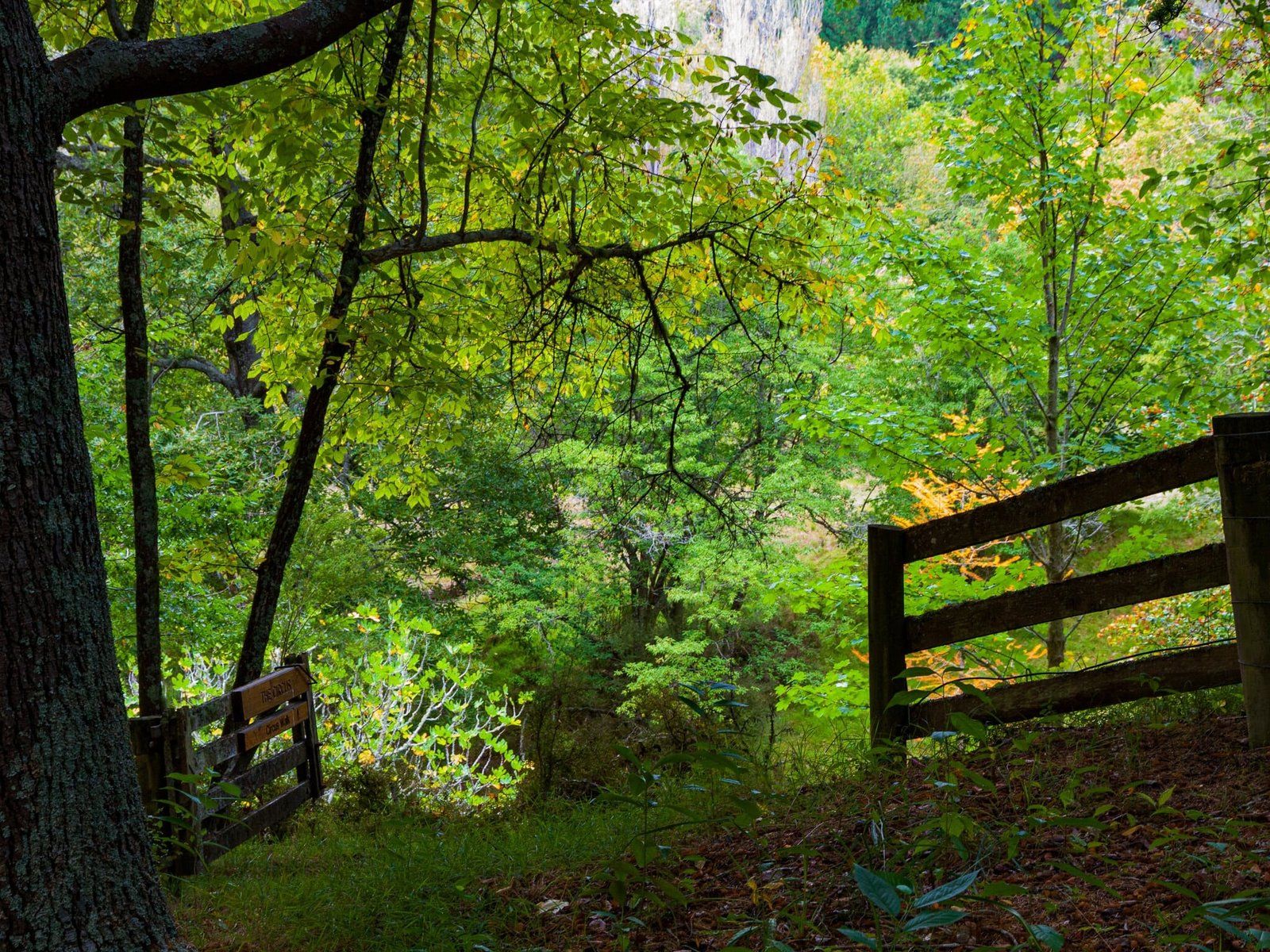
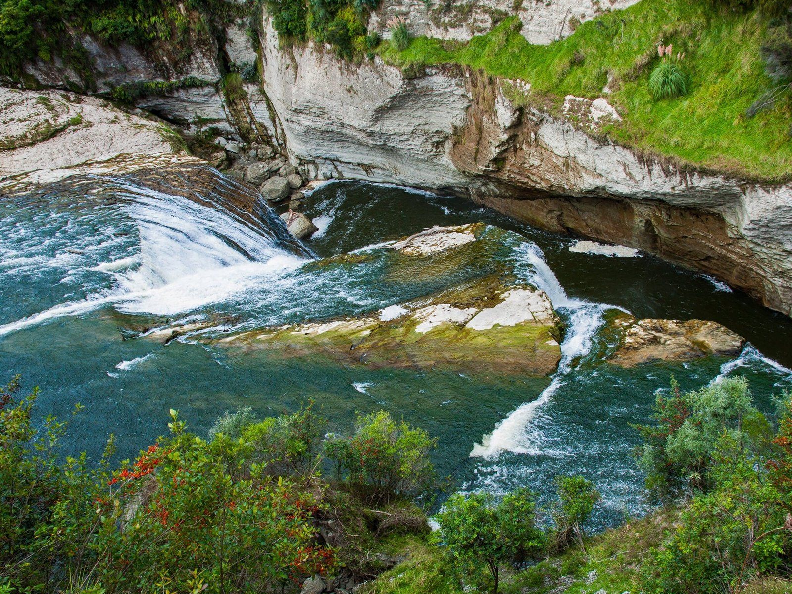
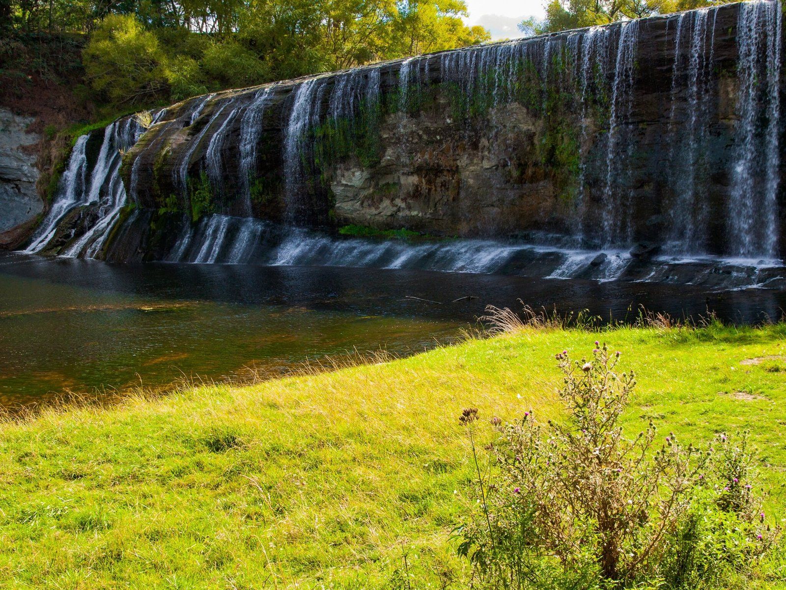
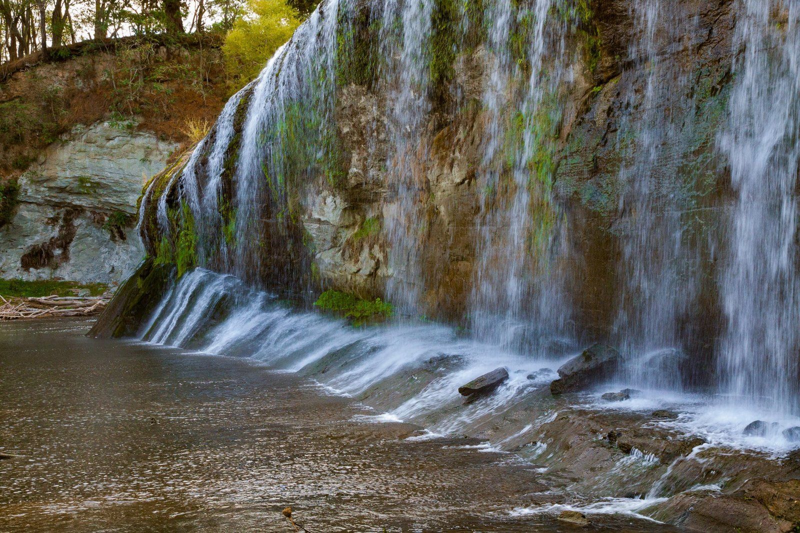
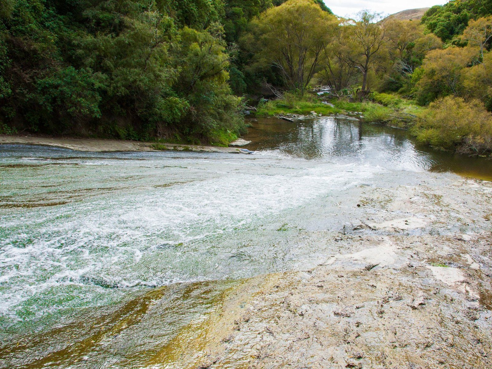
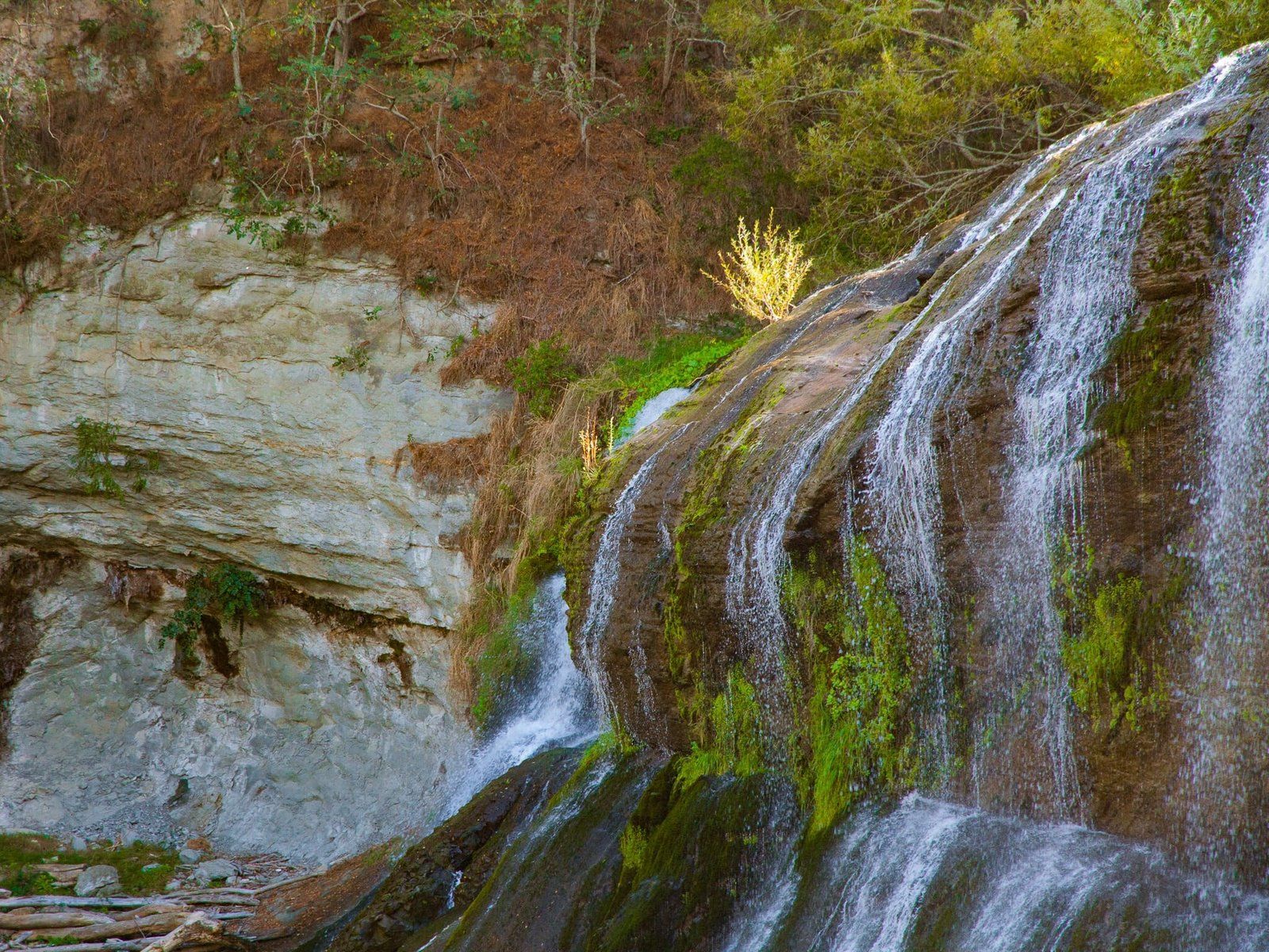
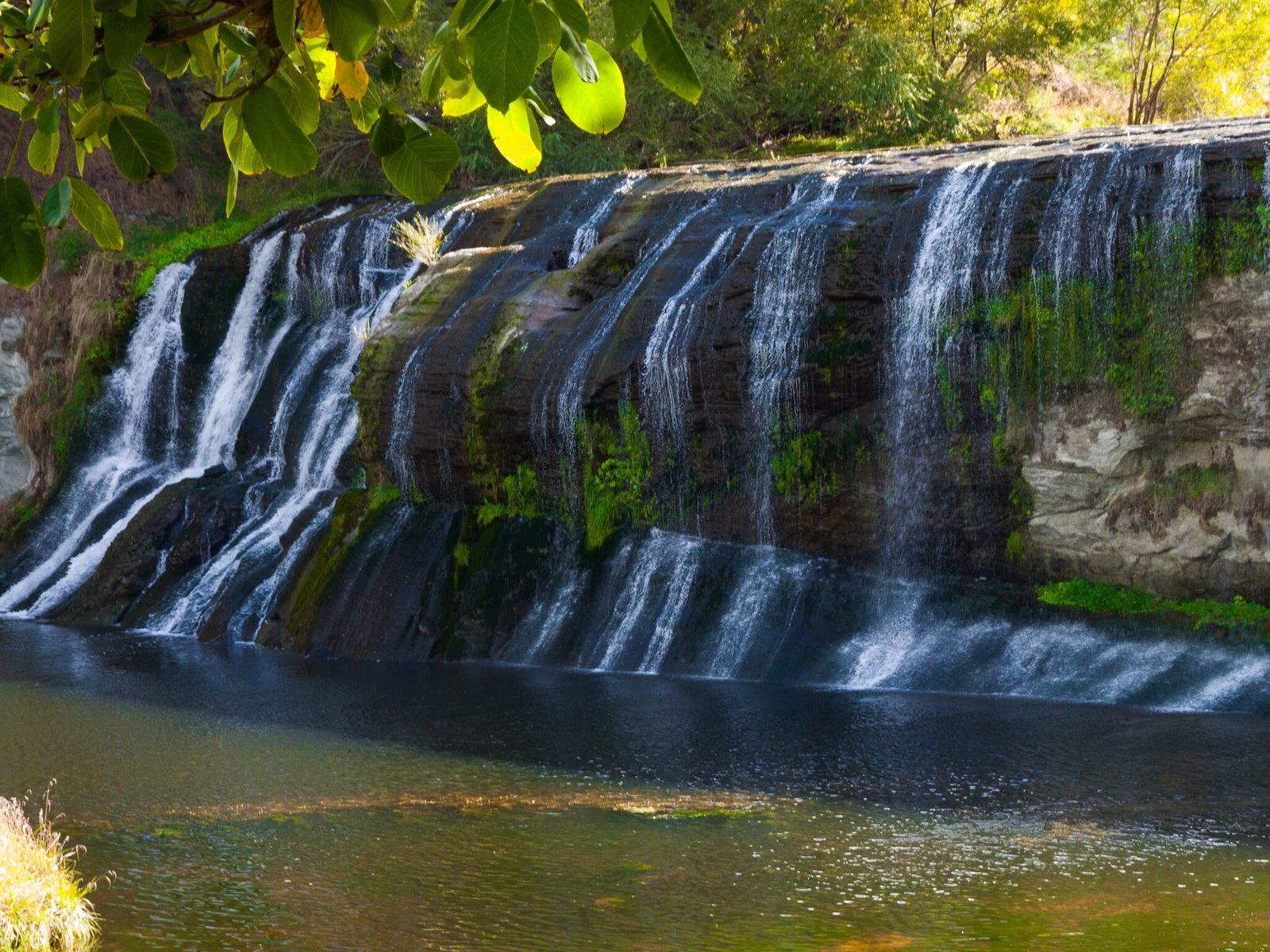
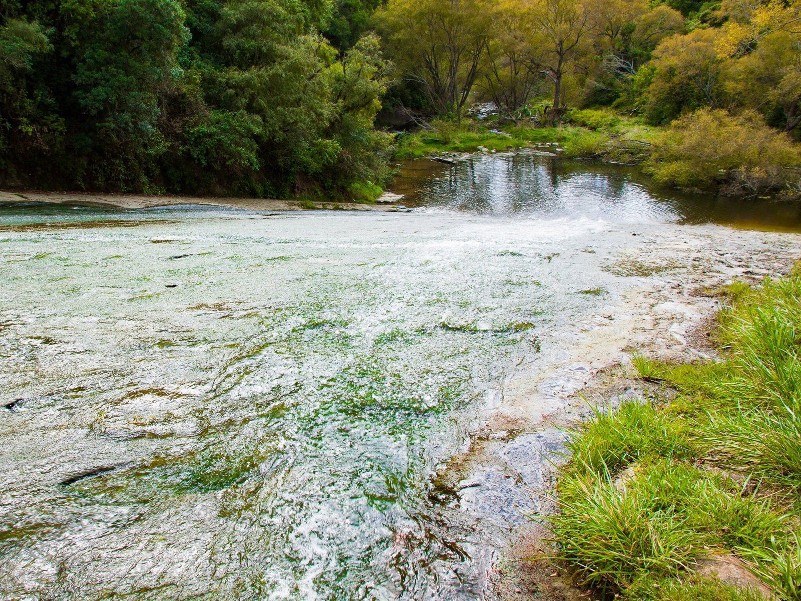
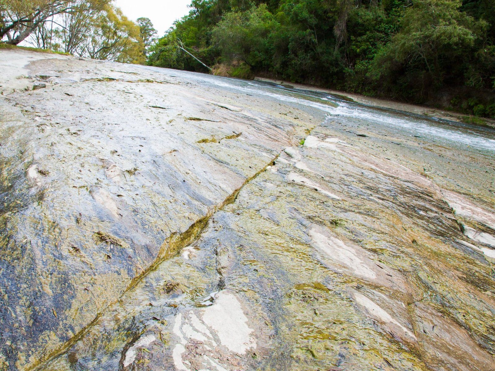
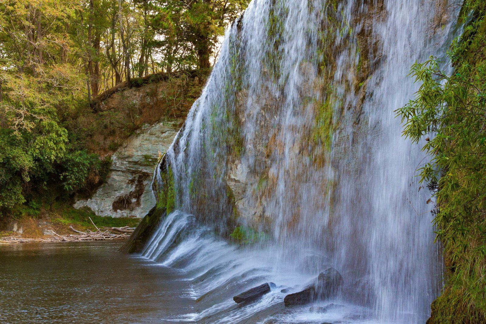
Rere Rockslide and Falls, Te Reinga Falls
Rere Falls is a bit over 10 minutes up Wharekopae Road from Eastwood Hill National Arboretum. The falls are 10 metres high but it is the width which makes them more interesting. They can be seen from the carpark, or walk down to the base of the falls for a picnic and swim.
Continue for another 2 or 3 minutes along the road to the Rere Rockslide. This is exactly what the name says it is – a 60 metre sloped section of rock down which the Wharekopae River runs, which you can use as a slide. But you need to be prepared with something to slide on. A large piece of cardboard may even do the trick, if you are brave enough to try it!
If you have the time, you can also visit the beautiful Te Reinga Falls. Head back towards SH2 then take Tiniroto Road to the falls. It takes about an hour and 20 minutes from Rere to Te Reinga, or less than an hour from SH2.
Want more North Island Trip Ideas?
Check out our blogs on Waipoua Forest, Miramar Peninsula, and the Coastlines of Northland.