Exploring Eglinton Valley
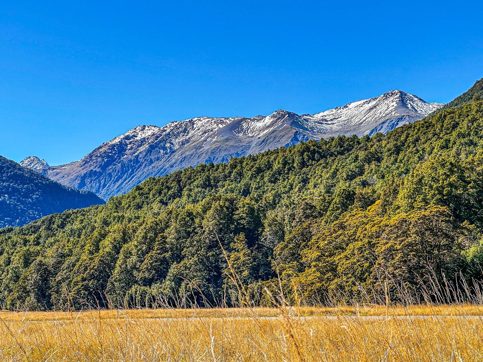
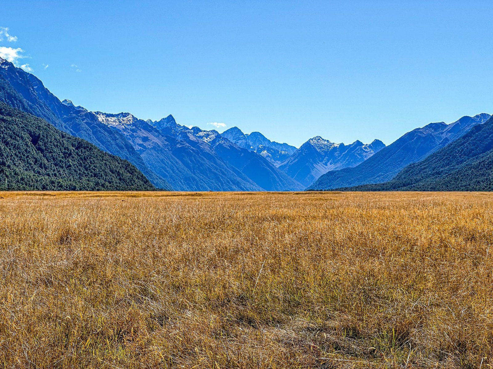
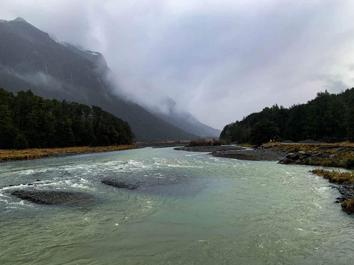
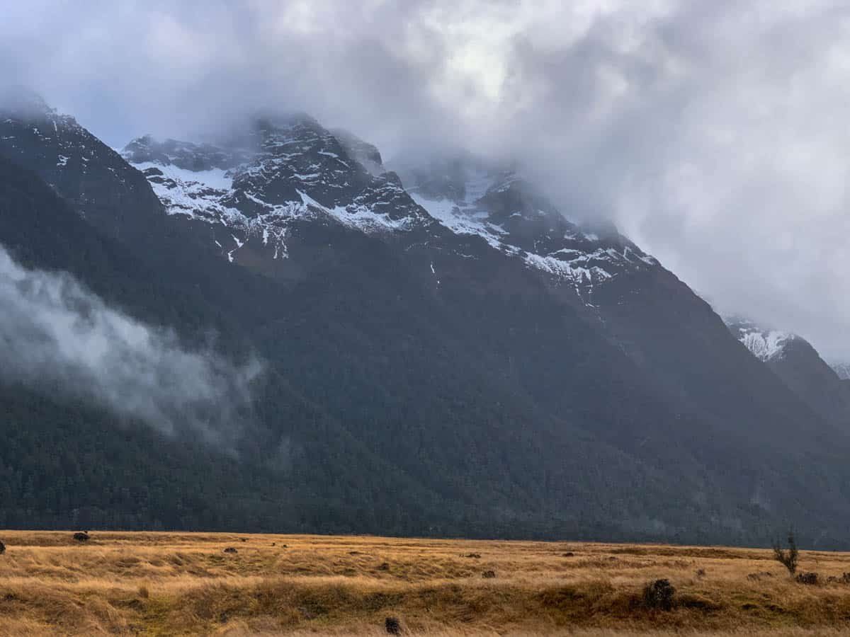
Eglinton Valley, located within Fiordland National Park between Te Anau and Milford Sound, is the only significant post-glacial river valley accessible by car in Fiordland. The valley is framed by mountains, with beech forests stretching down to the Eglinton River and the road in several areas. However, the most striking feature is the golden tussock grass that covers the flat sections of the valley.
These sections provide a breathtaking view and are a popular stopping spot for visitors, including tour buses en route to Milford Sound. Despite the occasional crowds, the vastness of the area allows for plenty of room to find a quiet spot among the tussocks.
Mountains, Forests and Golden Tussock
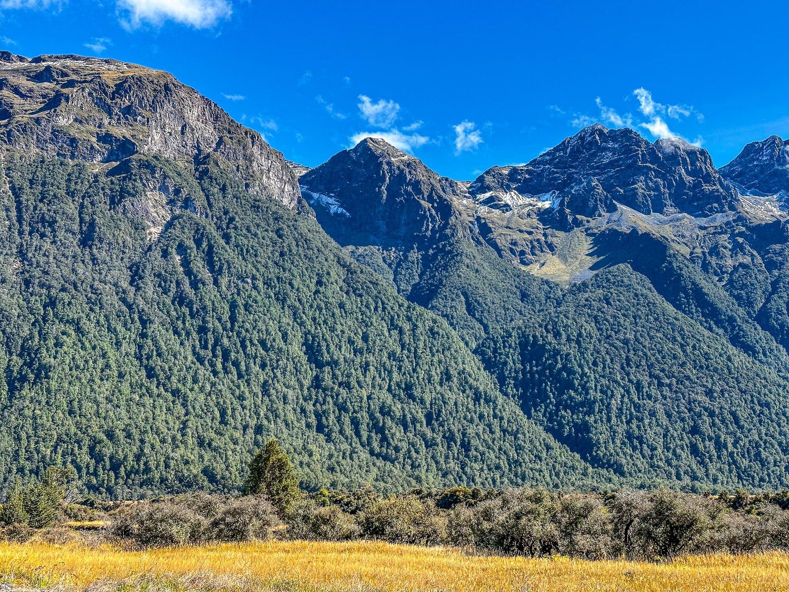
The Earl Mountains are to the west, and the Livingston Mountains are to the east. The plain, carved out over millennia by the river, is about 2 km wide at its widest point, and is almost exclusively covered in native long golden tussock grass. This is an entirely natural feature, with the plain being more impacted by frost than the mountain sides and the grass being more frost-tolerant than juvenile beech seedlings.
The valley is also home to over 30 rare or endangered species of flora and fauna, making it a vital conservation area. Restoration efforts have included the removal of deer from the valley and a focus on restoring the mohua (yellowhead birds) and pekapeka (short-tailed bats) populations..
Places to Pause and Explore
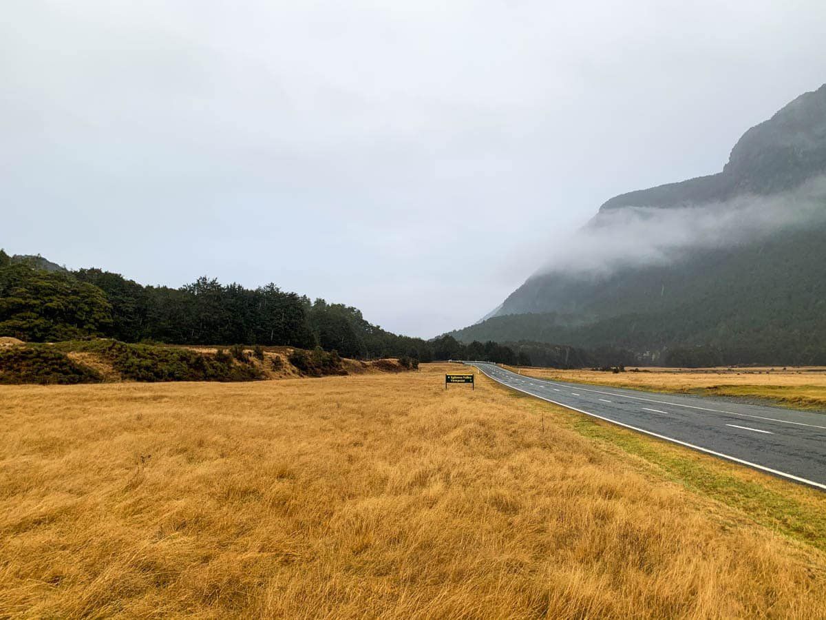
State Highway 94 (Te Anau Milford Highway) runs along the valley, and there are several options for stopping and exploration. Knobs Flat is a large rest area with the last flush toilets before reaching Milford Sound. There are several signposted roadside stops, along with several DOC campsites, including Walker Creek, Totara, Deer Flat, Kiosk Creek, and Upper Elglinton.
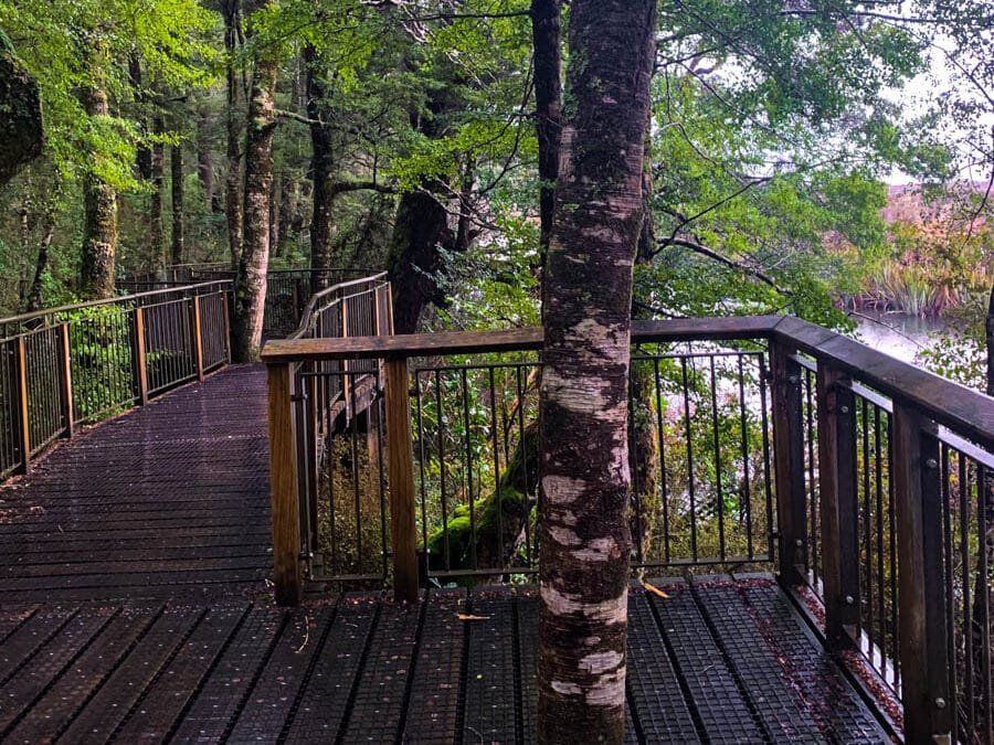
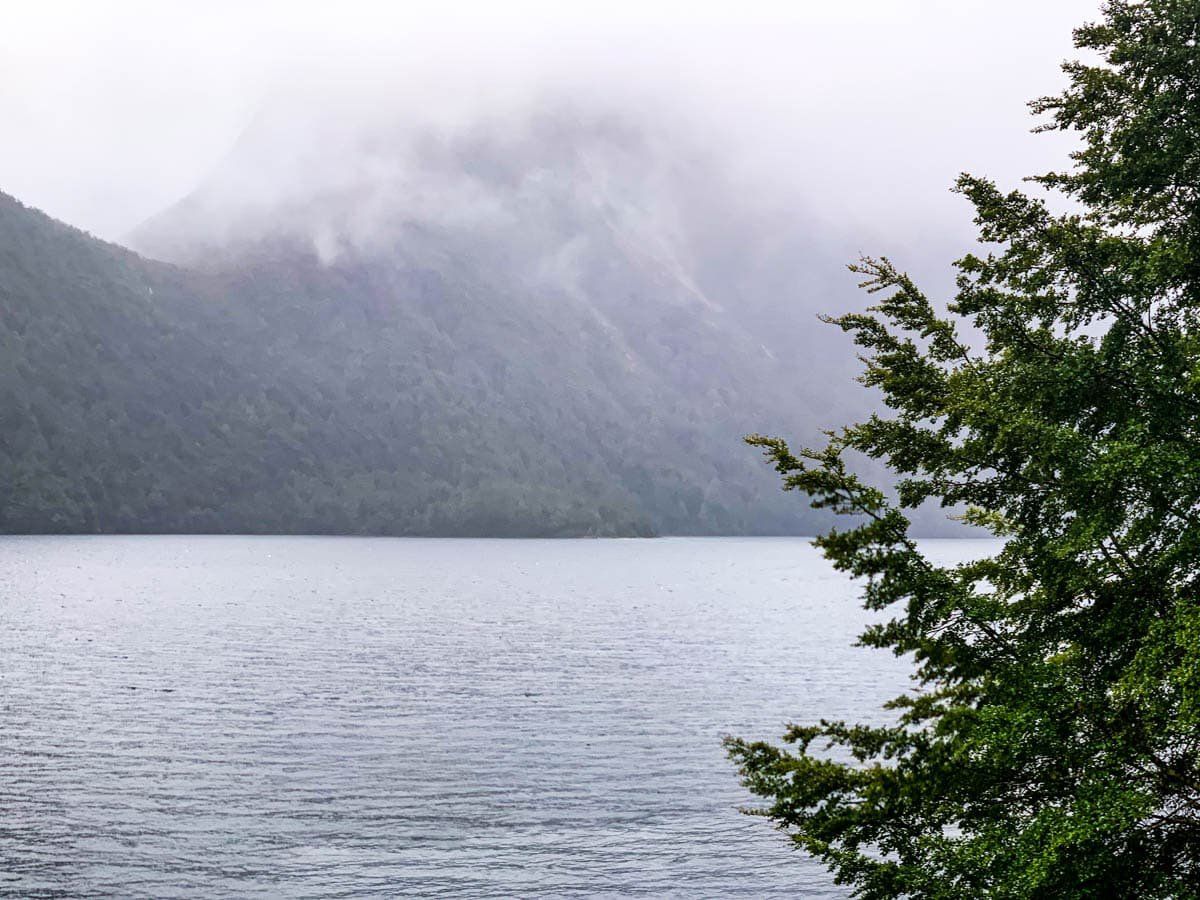
The top end of the valley narrows towards Lake Gunn, where you will find the Cascade Creek Camopsite and the Lake Gunn Nature Walk. Several tracks in the valley take you across the river and into the Earl Mountains. The most substantial is the Dore Pass Route that crosses the range and takes you to the north side of Lake Te Anau to the start of the Milford Track. This is a challenging full-day tramp, so be prepared.
A Connection to Middle-earth
For fans of The Lord of the Rings, the Earl Mountains in Eglinton Valley served as the backdrop for the Misty Mountains in the film adaptation of The Fellowship of the Ring.
How to Get There
To reach Eglinton Valley, drive along State Highway 94 from Te Anau for about 60 km (45 minutes).
Along the route, other points of interest include Boat Harbour and the Lake Mistletoe Walk. Just beyond the end of the Eglinton Valley lies The Divide, featuring walks to Key Summit and Earland Falls on the Routeburn Track. A little further on, you can explore the Hollyford Valley or drive up to Homer Tunnel and then on to Milford Sound.