Discover the Rugged Beauty of Mt Isobel
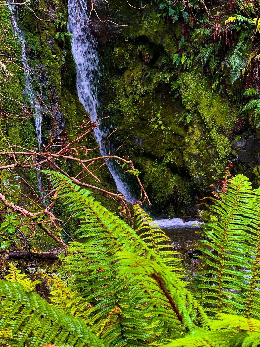
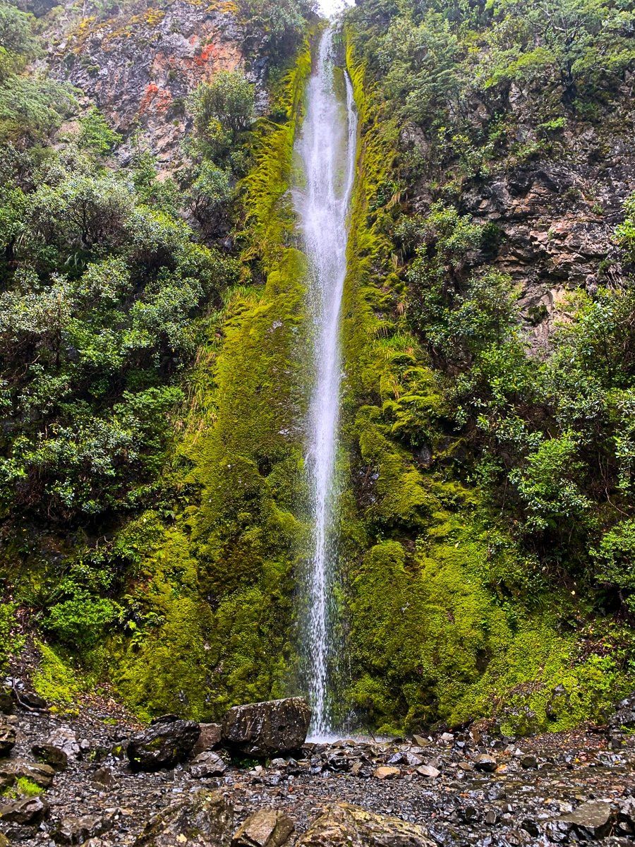
Mt Isobel, standing at 1,319 metres, offers a more rugged alternative to the well-trodden paths of Hanmer Springs. Located in the North Canterbury region, this area is perfect for those seeking a more adventurous hiking experience. One of the highlights on the side of the mountain is the Dog Stream Waterfall Track, which leads to a stunning 40-metre waterfall.
Exploring the Dog Stream Waterfall Track
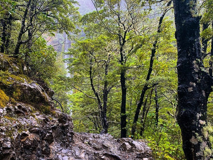
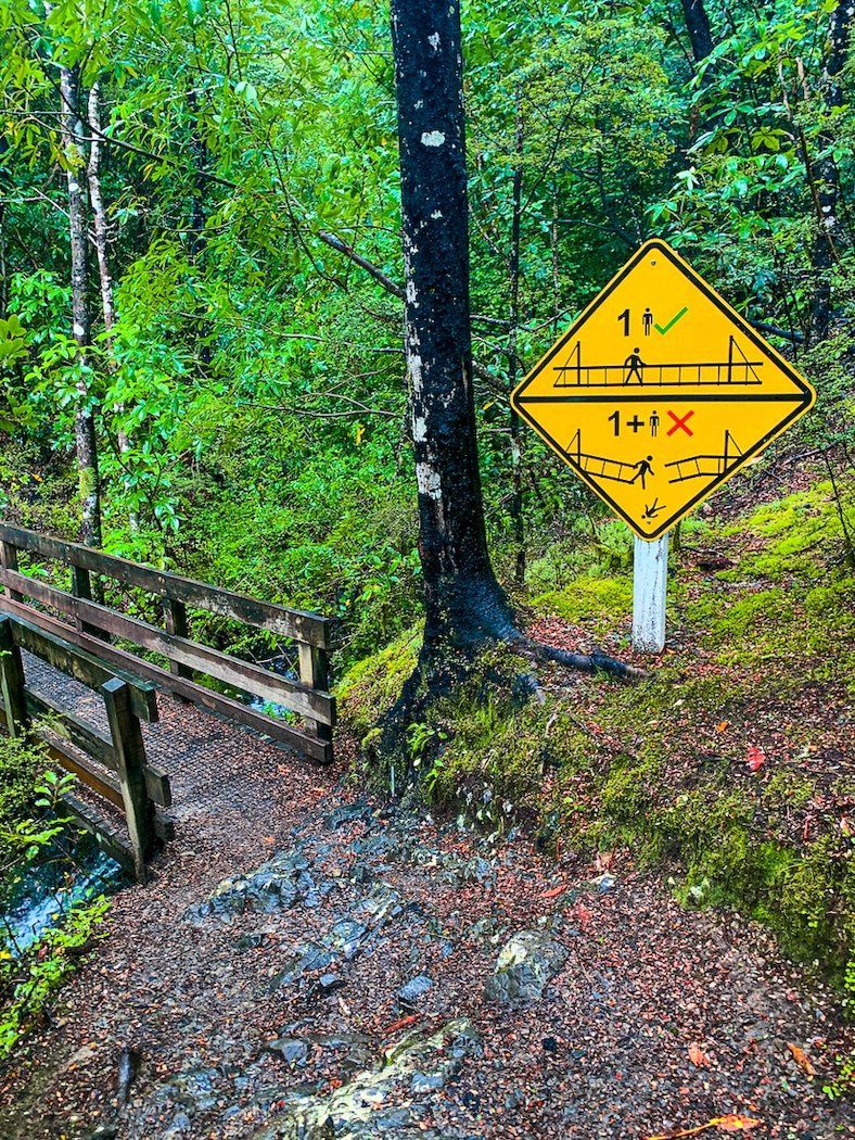
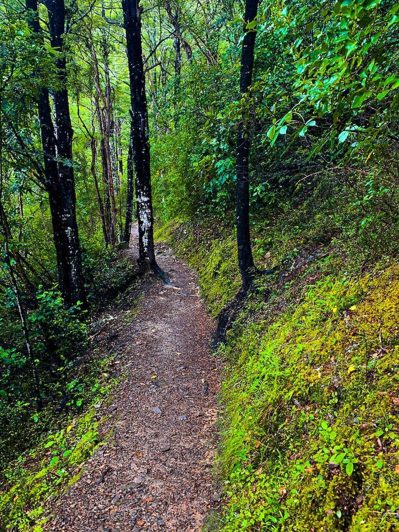
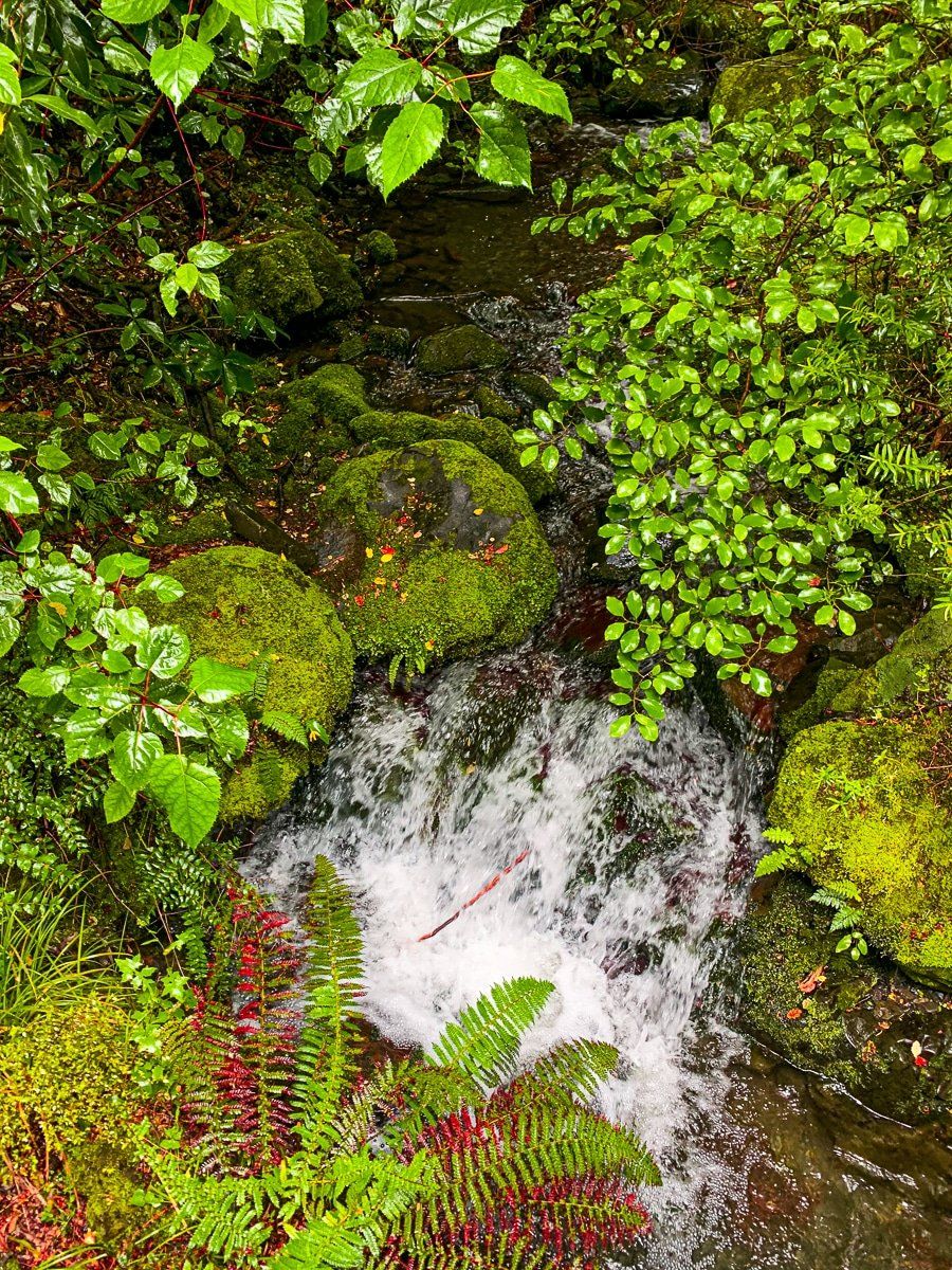
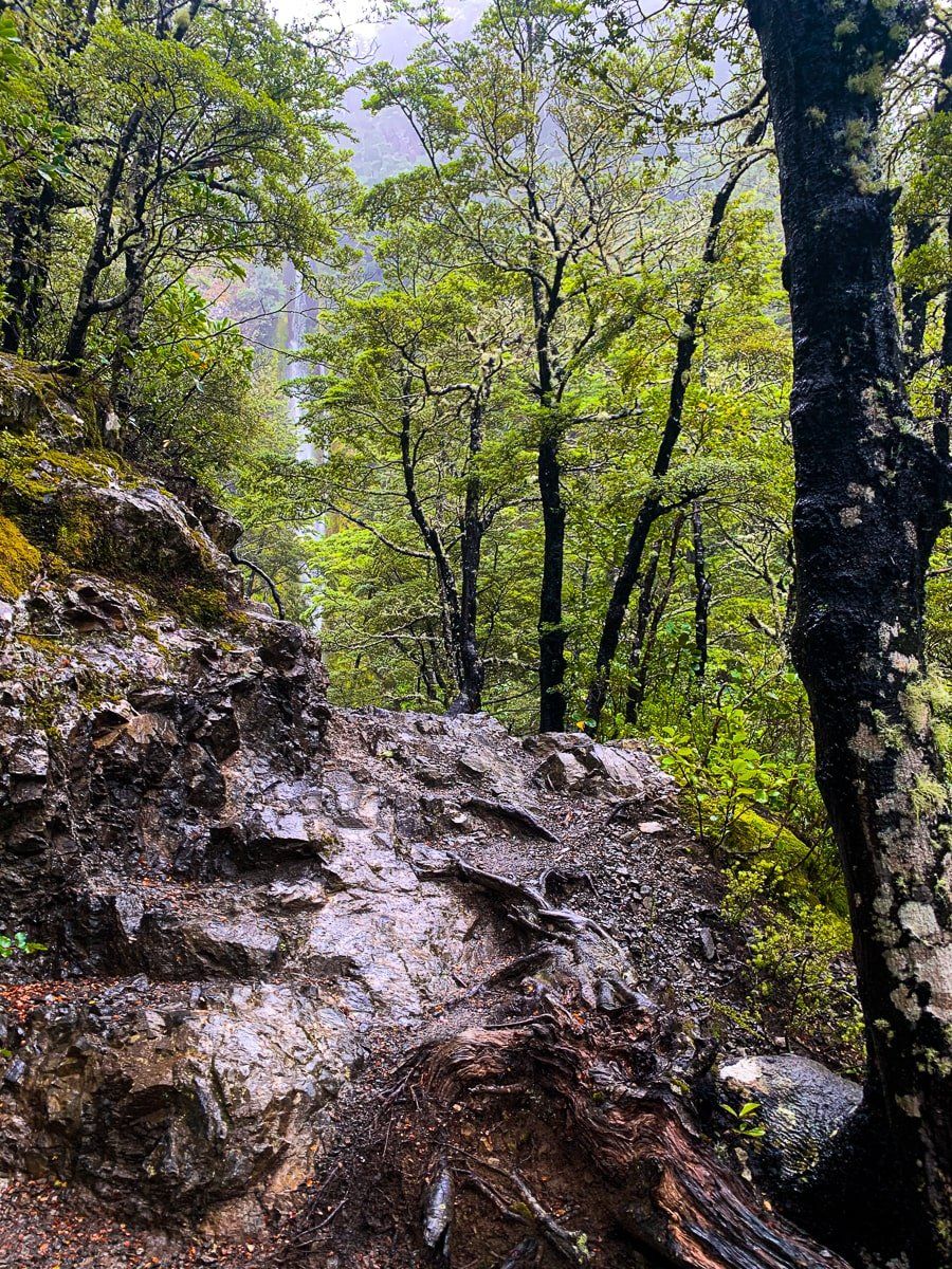
The Dog Stream Waterfall Track begins at the end of Mullans Road on the south side of Mt Isobel. This trail takes you through native rainforest, dominated by beech trees, and follows a stream up to the impressive waterfall, climbing about 400 metres to 850 metres. The track is often rugged and takes about an hour each way, making it a rewarding hike for those who enjoy a bit of a challenge.
Reaching the Summit of Mt Isobel
For those looking to reach the summit of Mt Isobel, you can continue from the waterfall to the peak. It is a climb of another 350 metres and exposed once you reach the tree line. Be mindful of weather conditions and cautionary signs.
You can also access the peak from Chatterton Road and Jacks Pass on the mountain's west side. Another option is to approach from below Jollies Pass on the east side, though this route requires a 4WD vehicle.
Getting to Dog Stream Waterfall Track
To reach the start of the Dog Stream Waterfall Track from Hanmer Springs, take Jolies Pass Road east out of town. Just before 2 km are up, turn left onto MacIntyre Road (a gravel road) and head north. After 2.5 km or so, it becomes Mullans Road and swings west. Par ka t the end of the road next to the track access..
While in the area, consider exploring the tracks of the nearby exotic Hanmer Forest for a more leisurely experience. Be sure to check out the hot pools while you are there as well.