
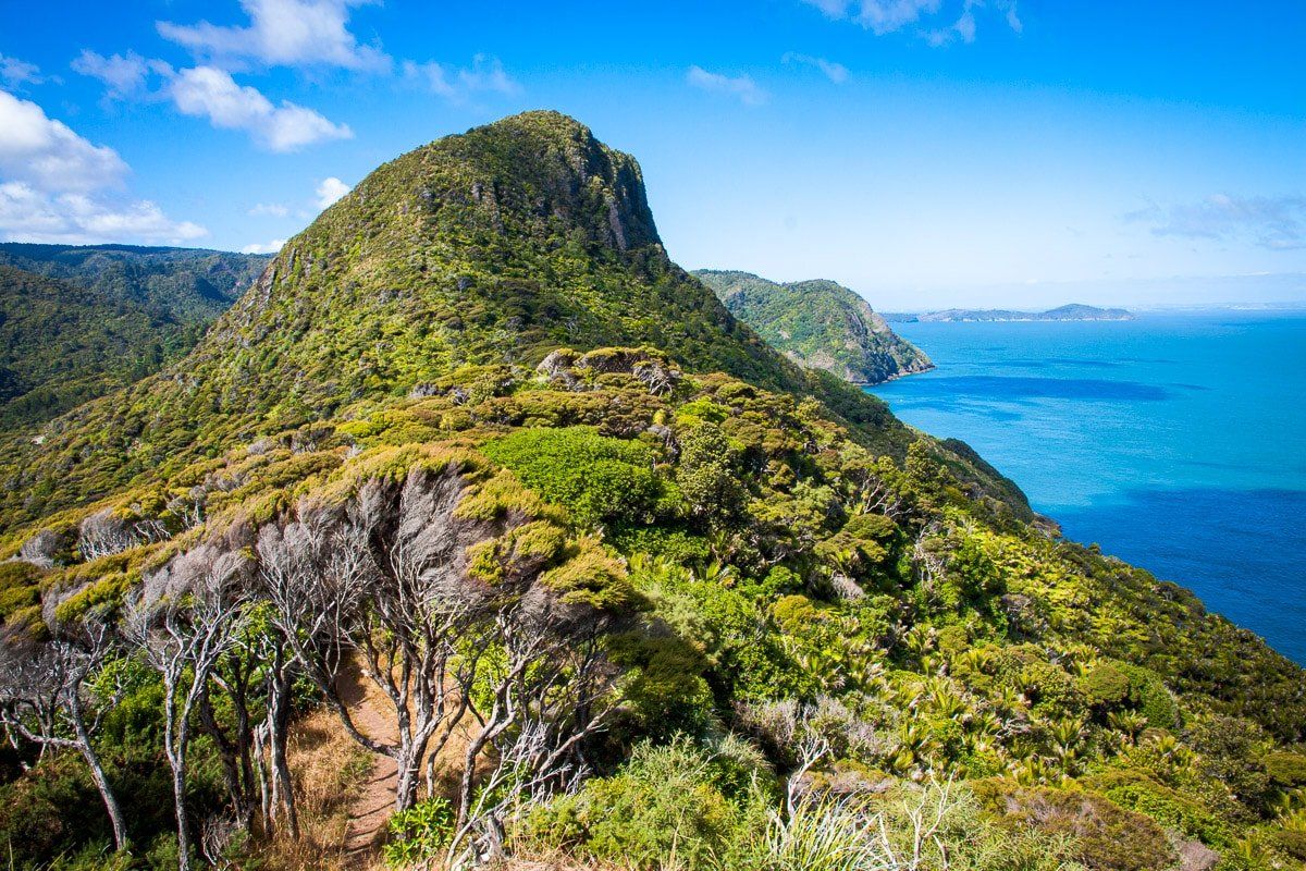
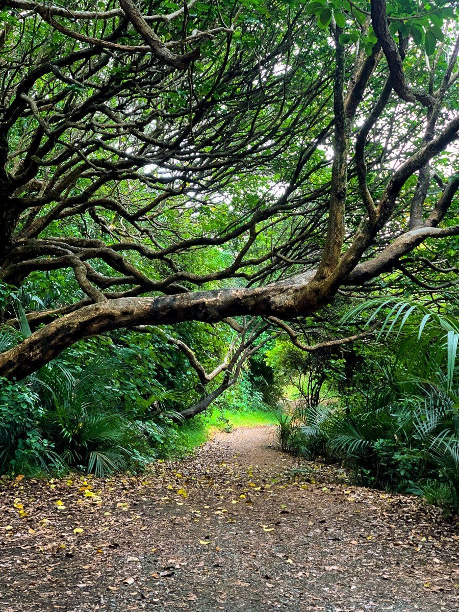
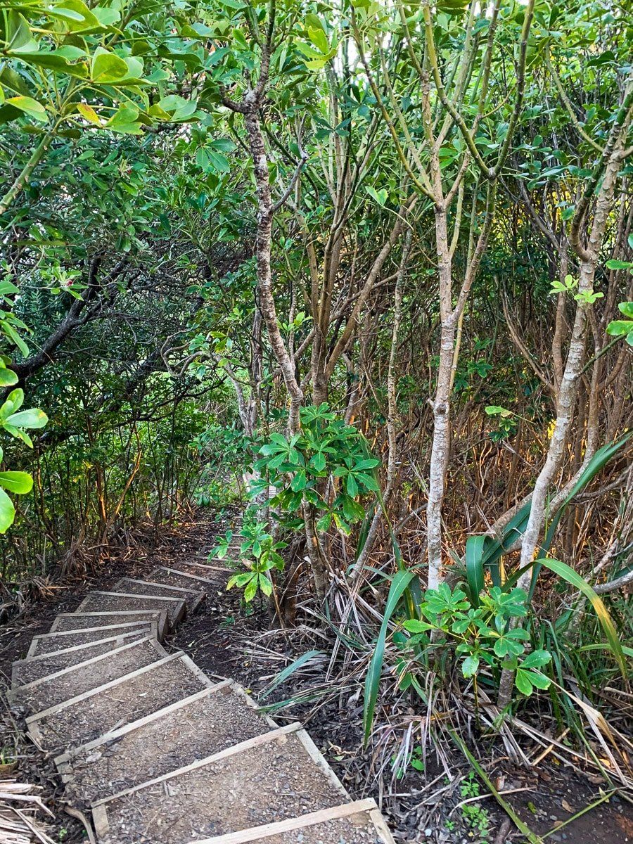
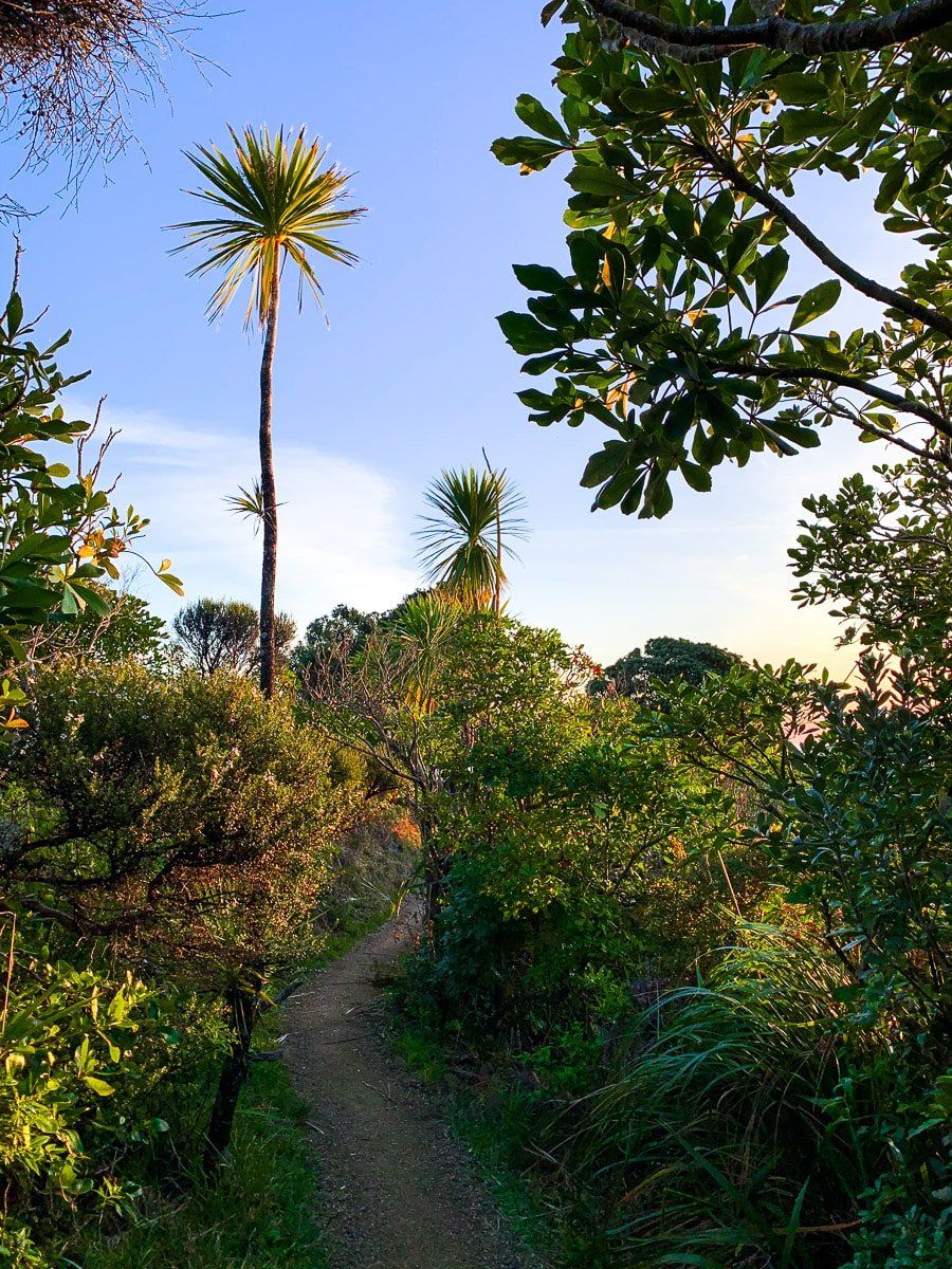
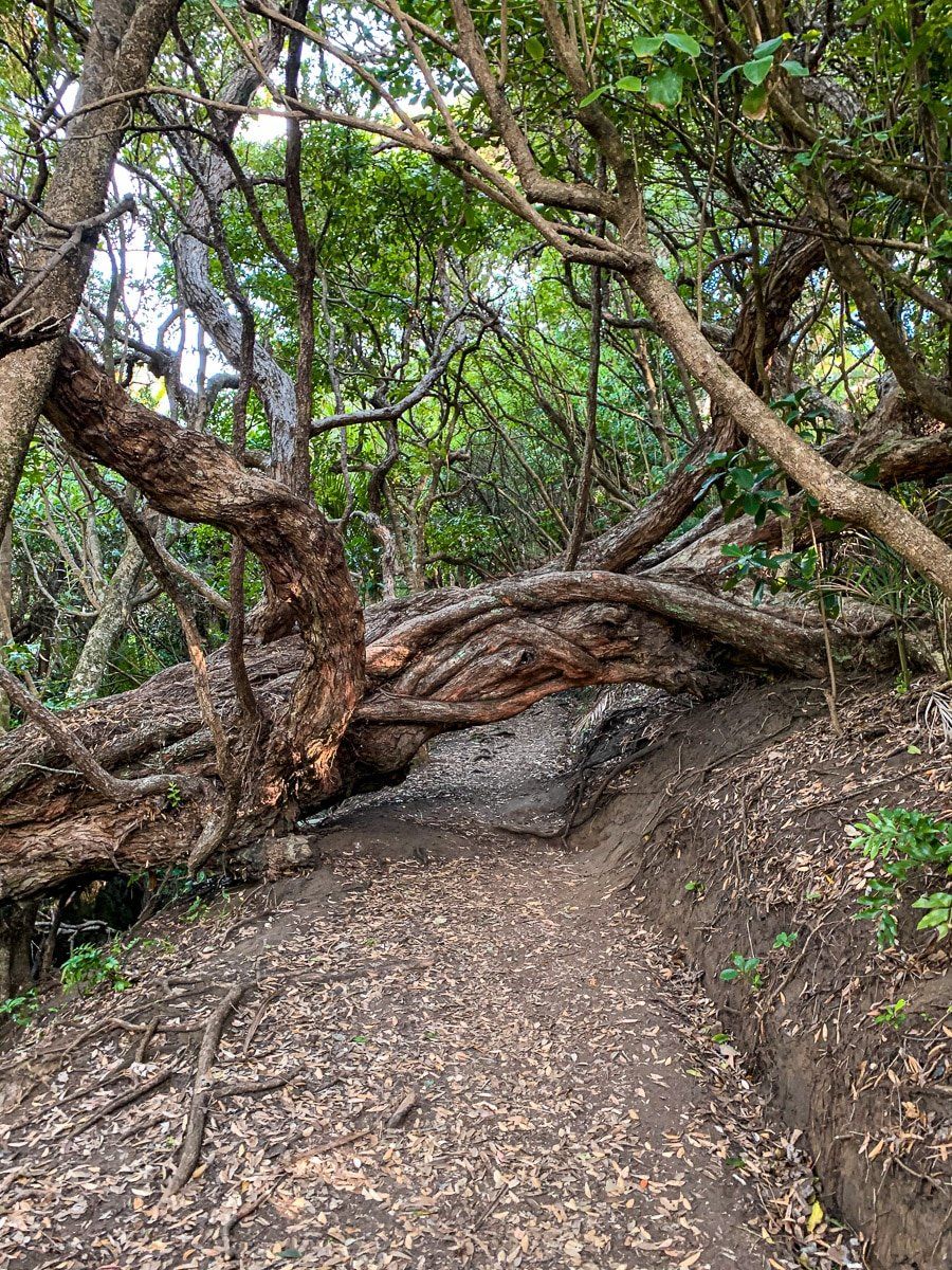
Auckland is so much more than New Zealand’s biggest city and business centre. While the shopping and restaurants are one reason to visit, the Auckland region is also one of the most rugged and scenic parts of the country. The black sand beaches on the west coast of the Waitakere Ranges are a great place to start. Although most of the Waitakere Ranges hiking trails are currently closed to prevent the spread of kauri dieback disease, the beaches are still the best part of Auckland for any lover of the outdoors.
Whatipu
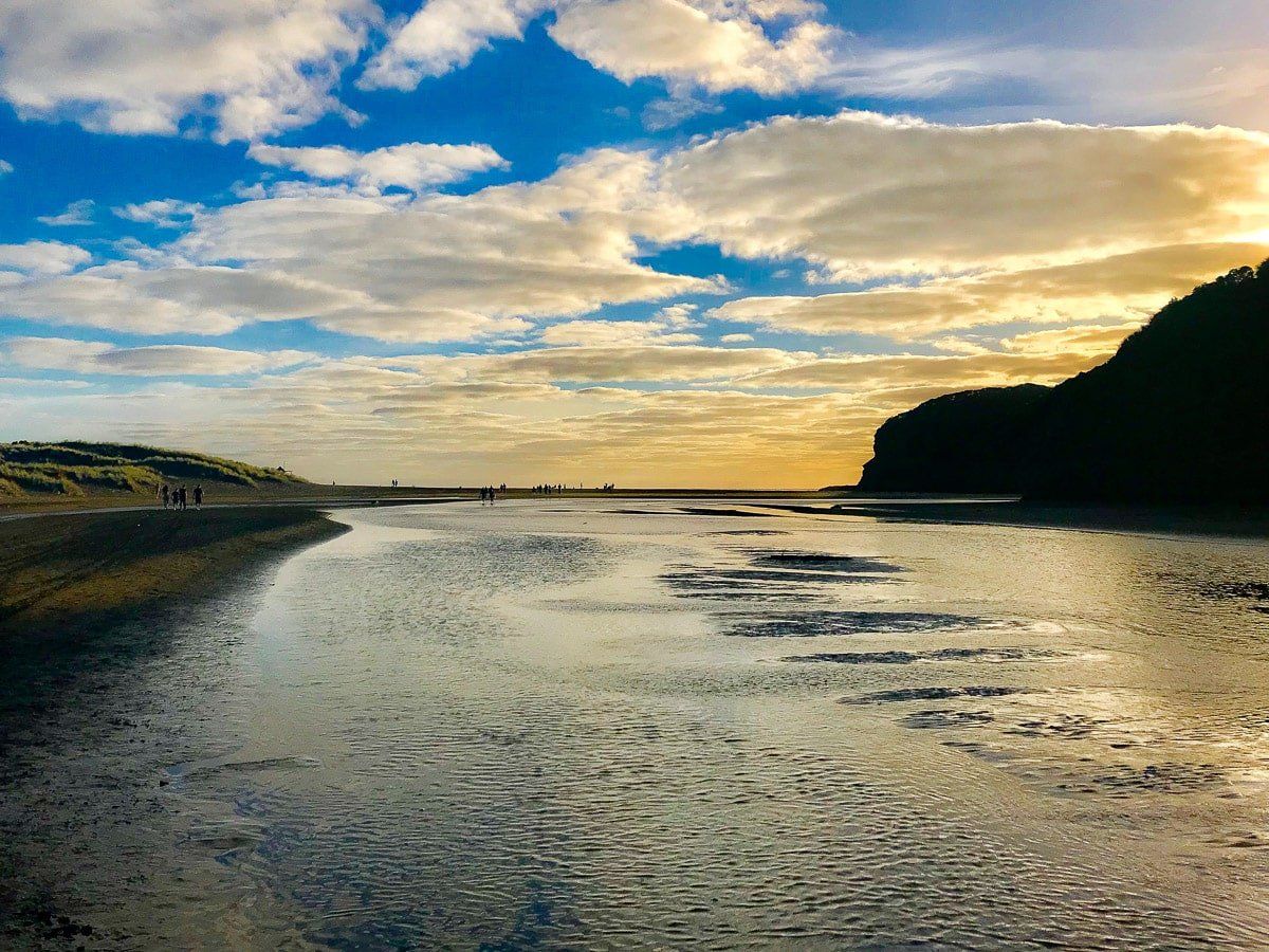
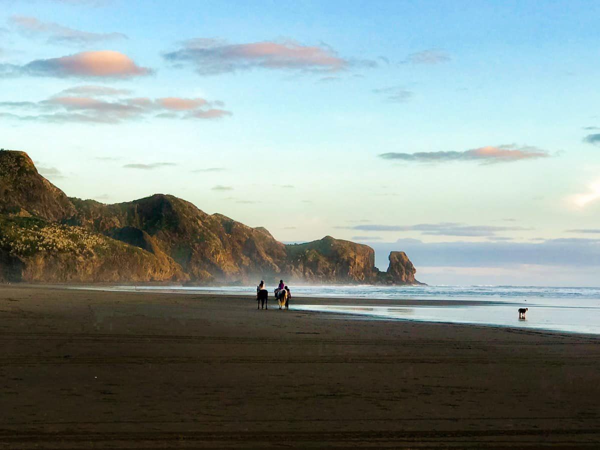
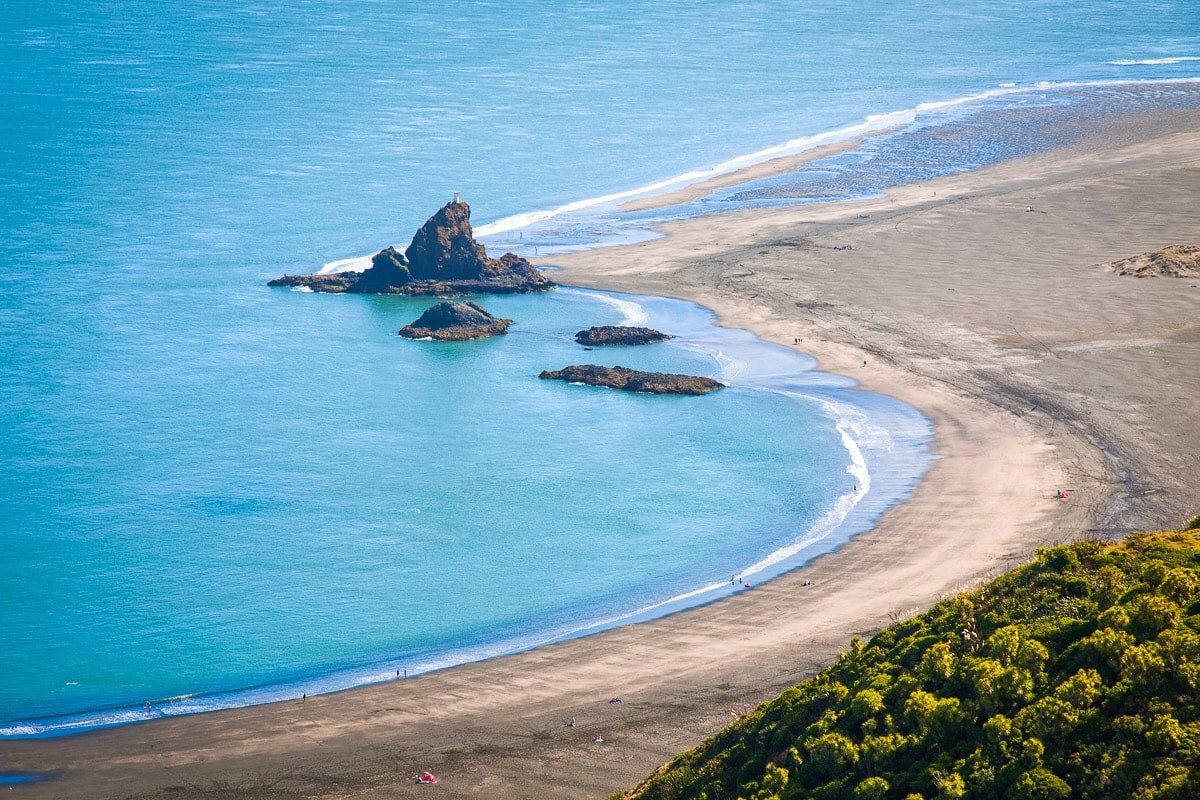
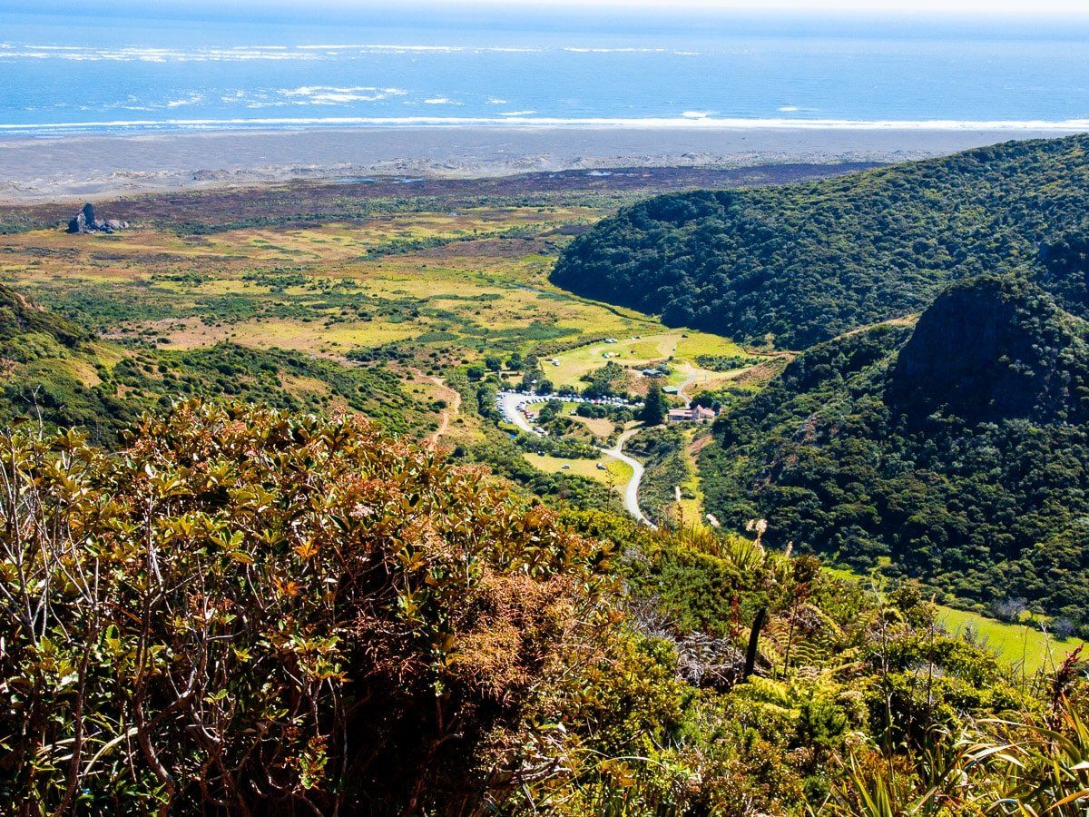
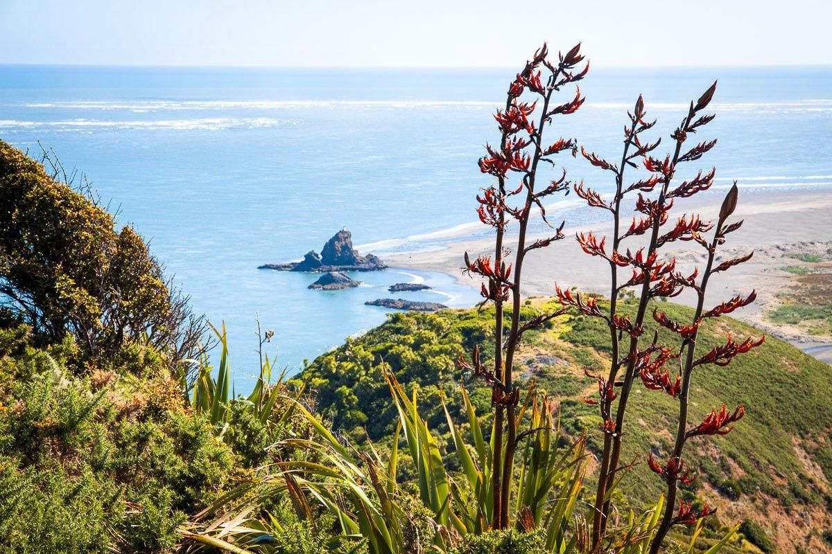
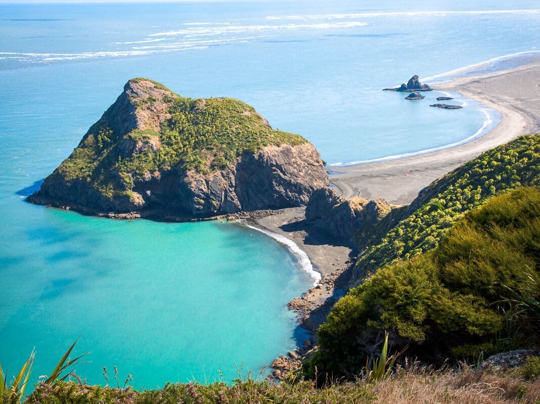
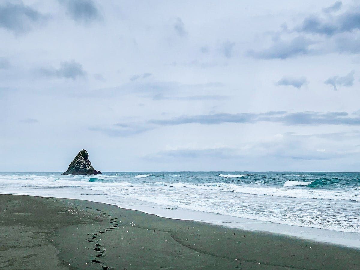
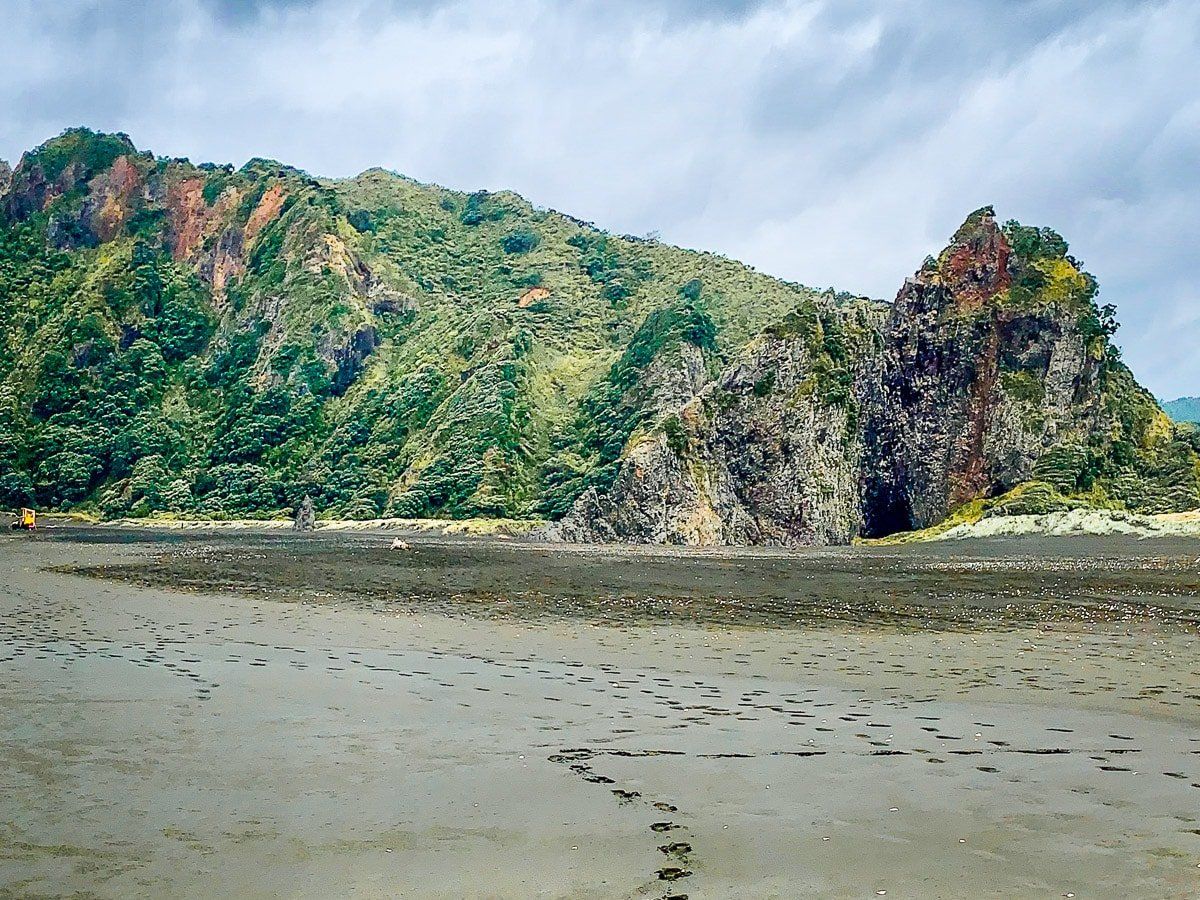
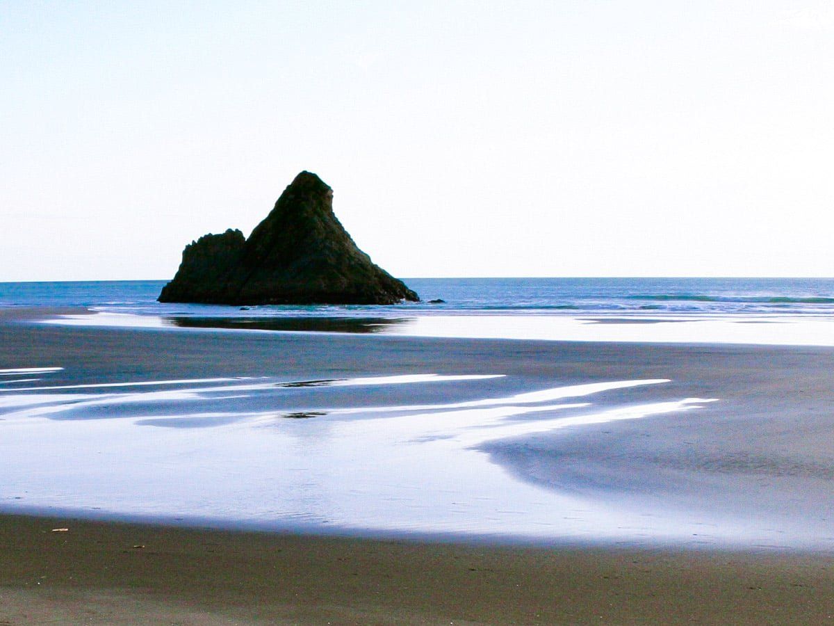
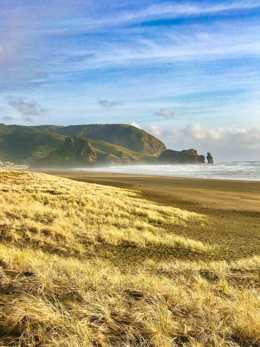
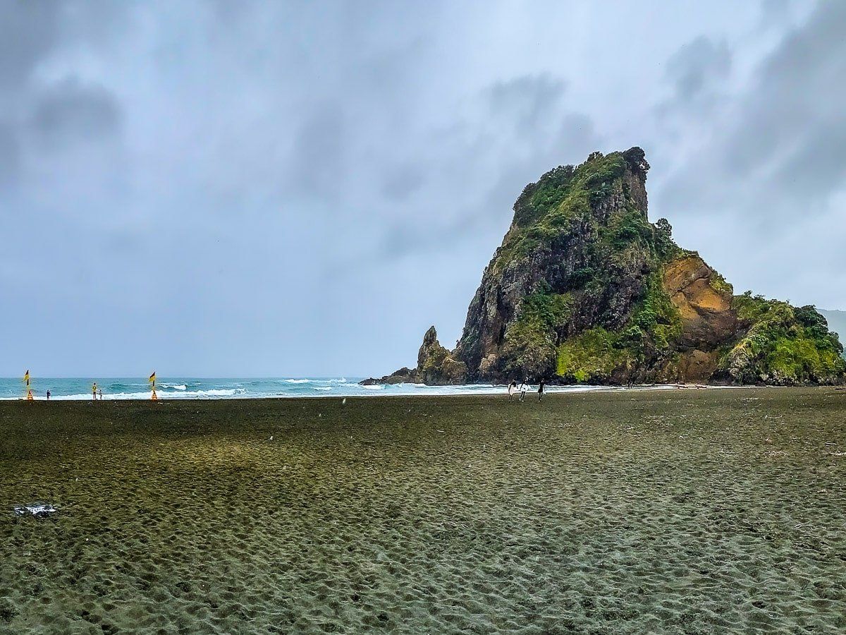
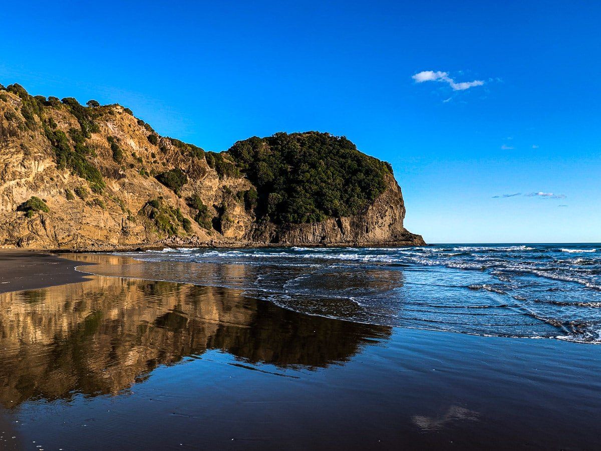
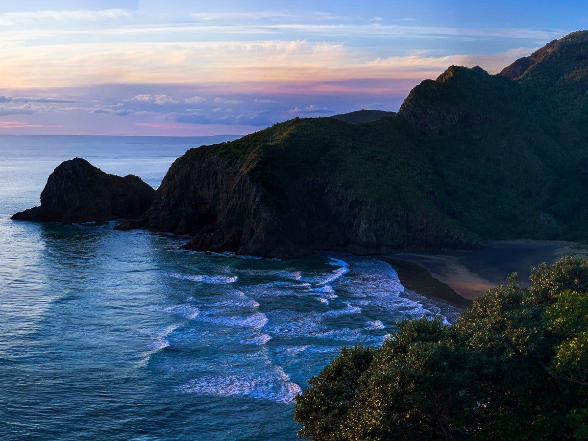
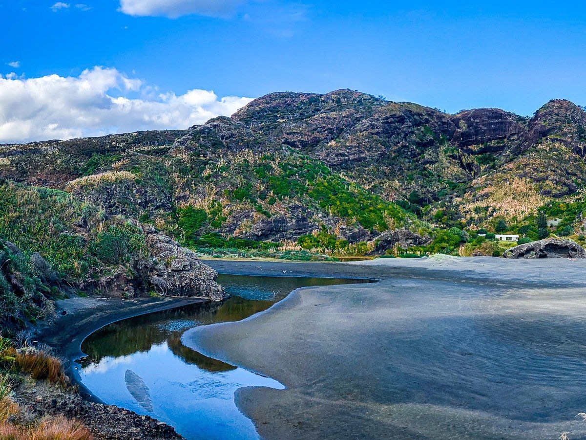
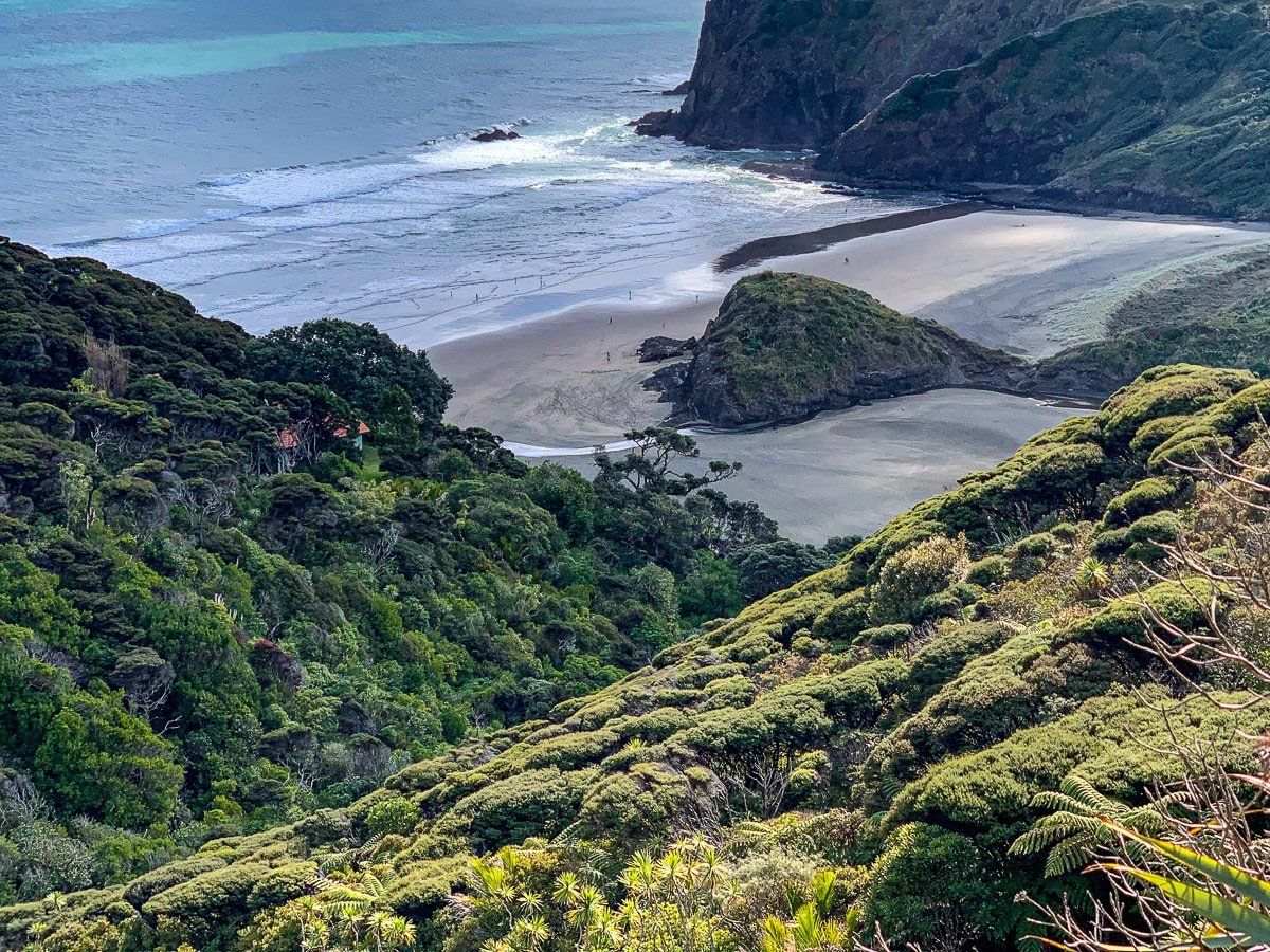
Whatipu Beach is the most southerly of the west coast beaches, just north of the Manukau Heads. The beach is generally thought of as a small crescent of sand with Paratutae Island at the south eastern end, but in fact Whatipu Beach encompasses the extensive sand banks that run all the way up to Karekare, only accessible with a tough day of coastal hiking. The beach has a nearby lodge and camping, so you can stay overnight.
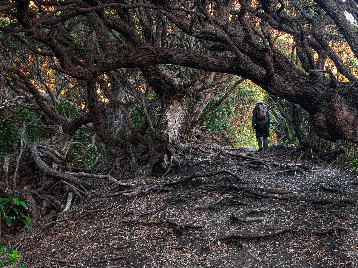
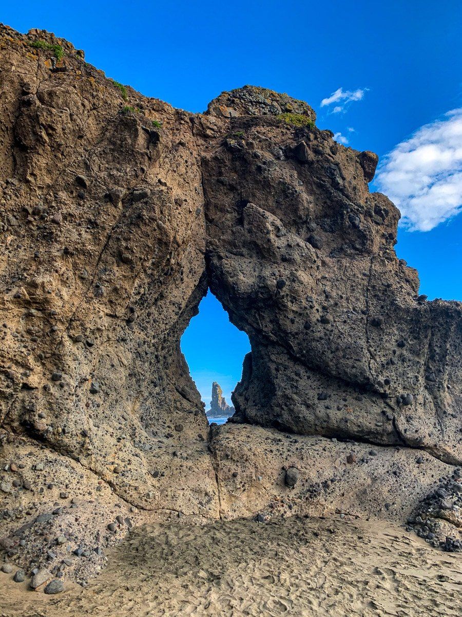
A sea cave is one of Whatipu Beach’s most interesting features, although the cave is now a long way from the coast. You can visit by following a short trail along the edge of the sand dunes and cliff to the north, or hike from the south side of the car park to a viewpoint above the beach. This short hike to the viewpoint is part of the amazing Omamawanui Track, the rest of which is currently closed. You may also notice Cutter Rock, once a popular abseiling spot until a large part of it collapsed.
You need a vehicle to reach Whatipu, and driving via Cornwallis and Huia takes about 45 minutes from central Auckland. The last section of the road is narrow and winding with a metal surface.
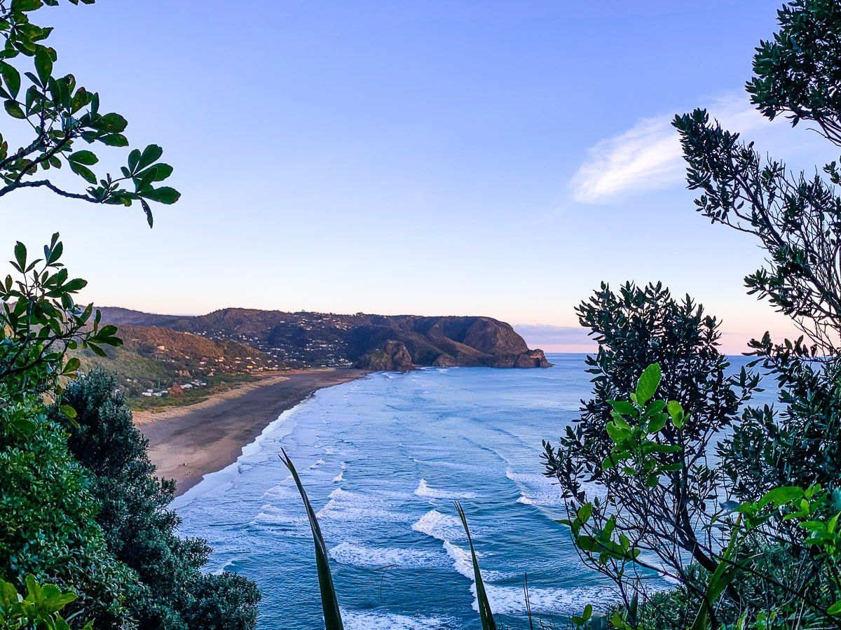
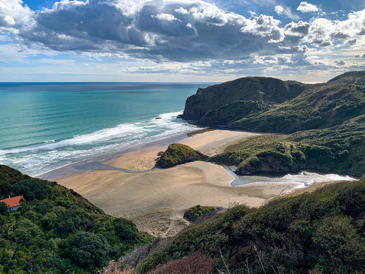
Karekare
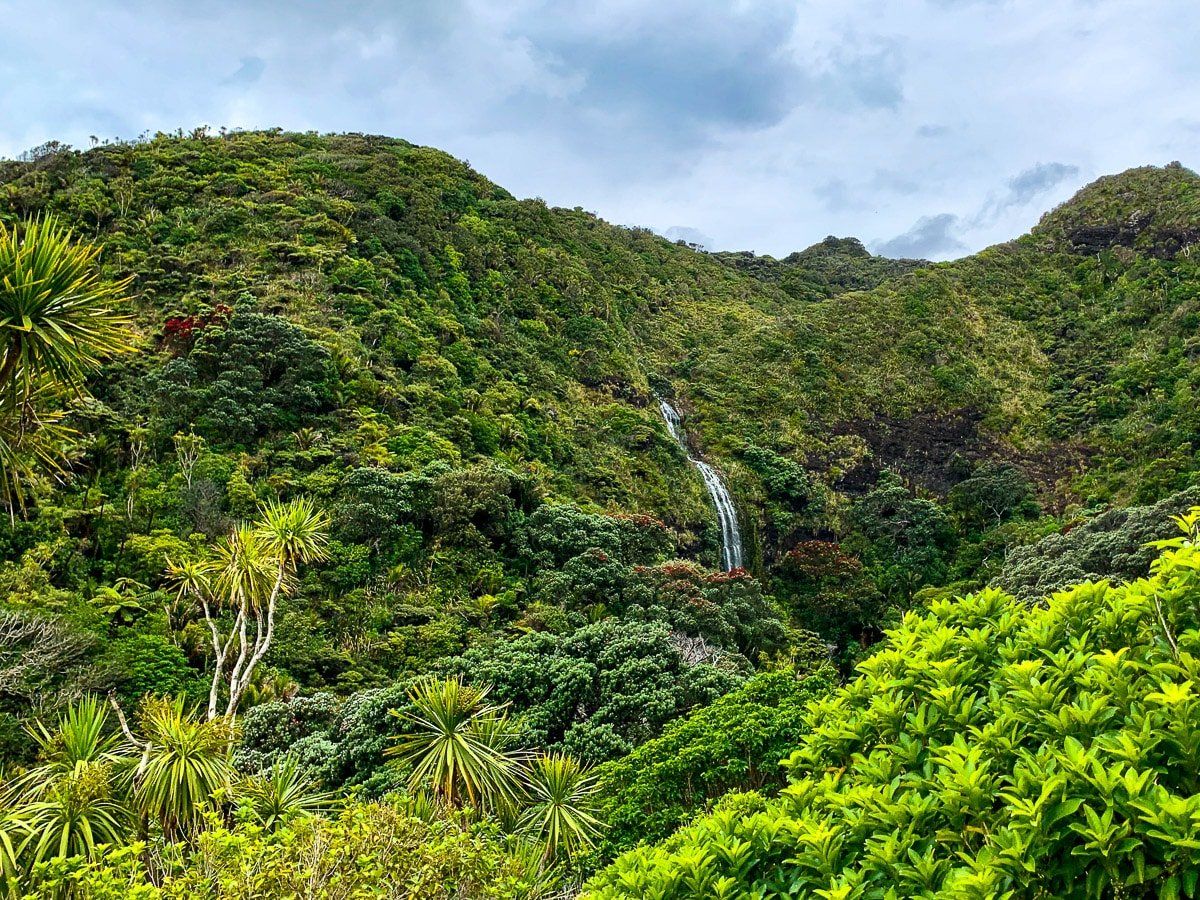
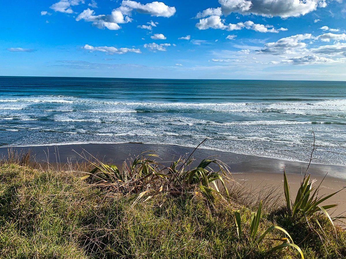
Everything about Karekare is entrancing. The drive through native forest, the nearby Karekare Falls, Pohutukawa Glade – the main access point to the beach – and, of course, the beach itself. From central Auckland it takes about 40 minutes by car to get to Karekare, with access at a turnoff from the main road to Piha.
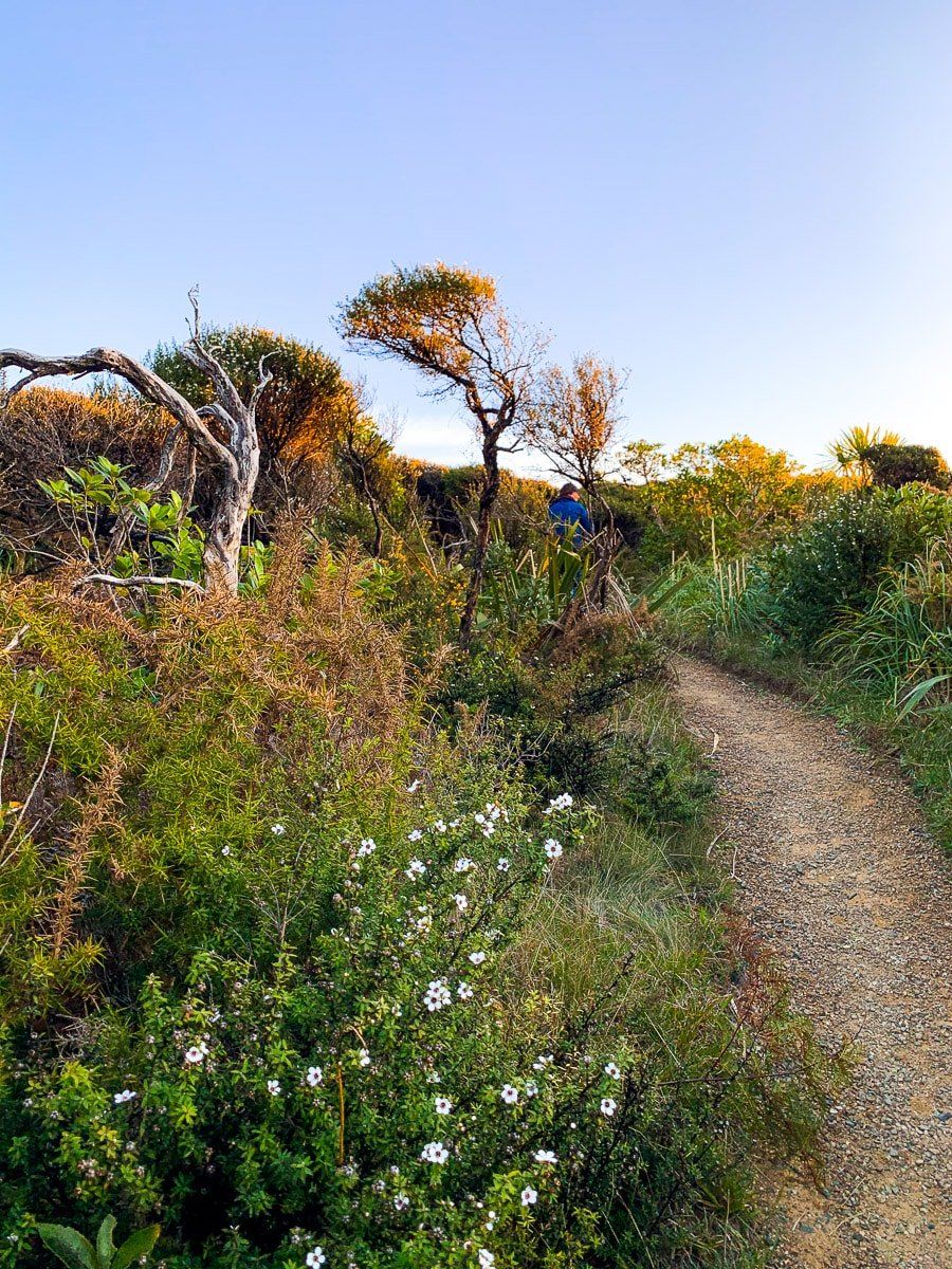
Karekare is safe for swimming, but stick to the patrolled area below the cliffs to the north. You can also walk south for an hour or so to reach Tunnel Point, a campsite and home to one of the few remaining relics of the early settlers who wiped out most of the Waitakere Ranges’ ancient kauri forests. Today there are still pockets of old kauri, and huge efforts have been made to recover the forest, with large areas of regrowth (kauri trees 100 years or younger) throughout the region – which is why containing kauri dieback disease is so important here.
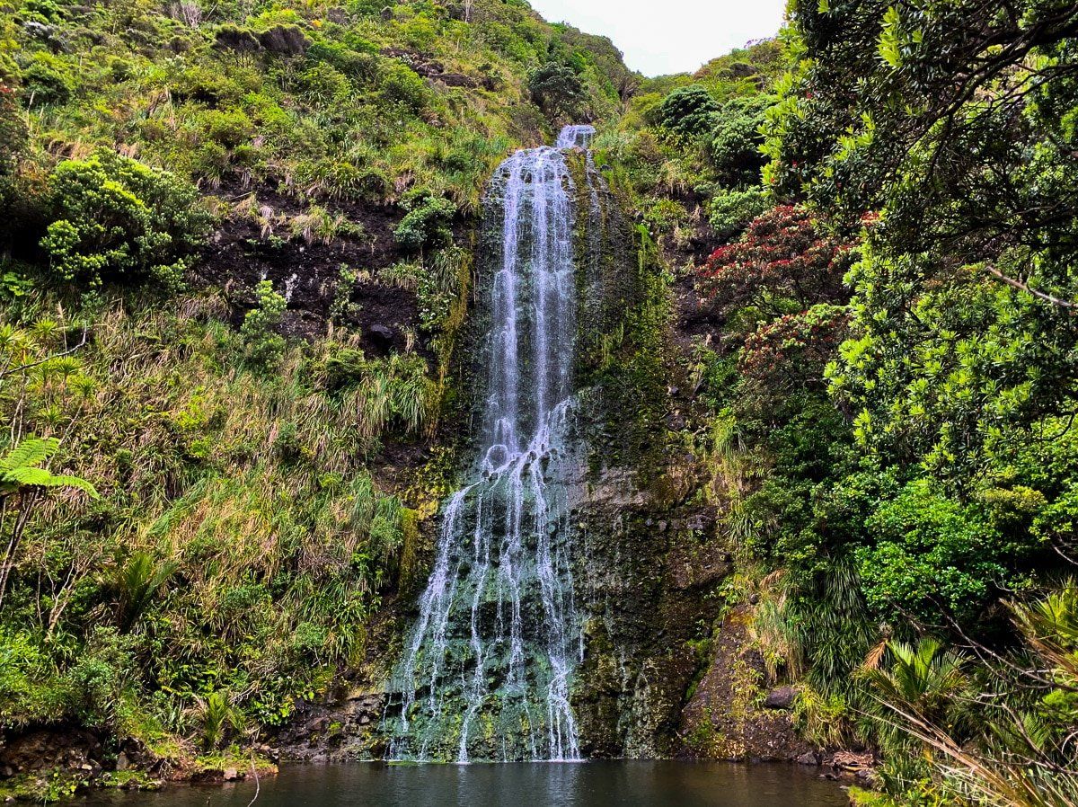
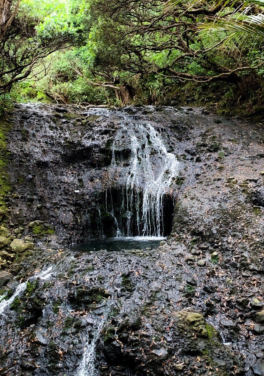
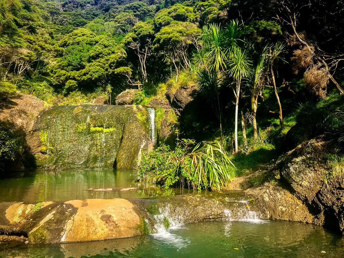
Karekare Falls
To get to Karekare Falls it’s just an easy five-minute walk each way from the Karekare car park. Head across the bridge and up the road – you’ll see the falls and the access track on the right. As you go down the track, keep and eye out for the smaller waterfall to the left!
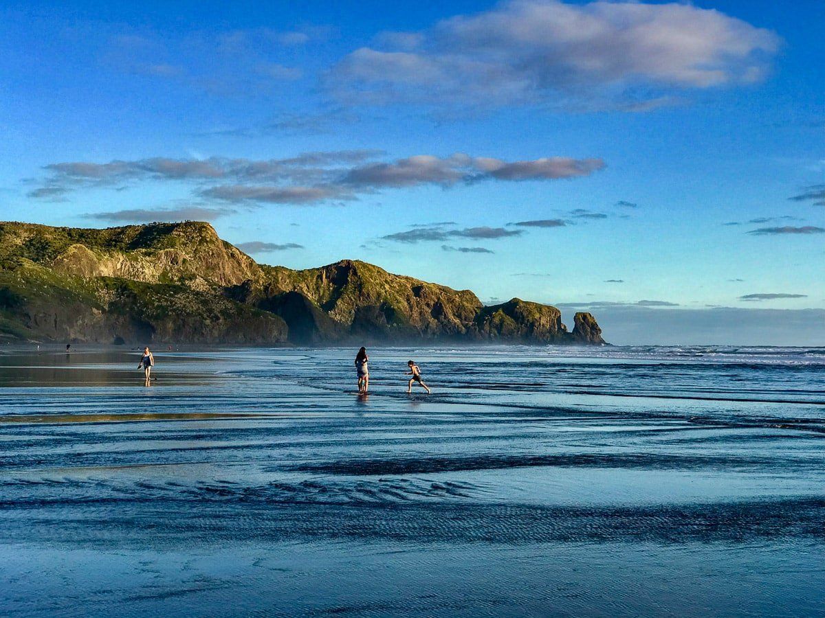
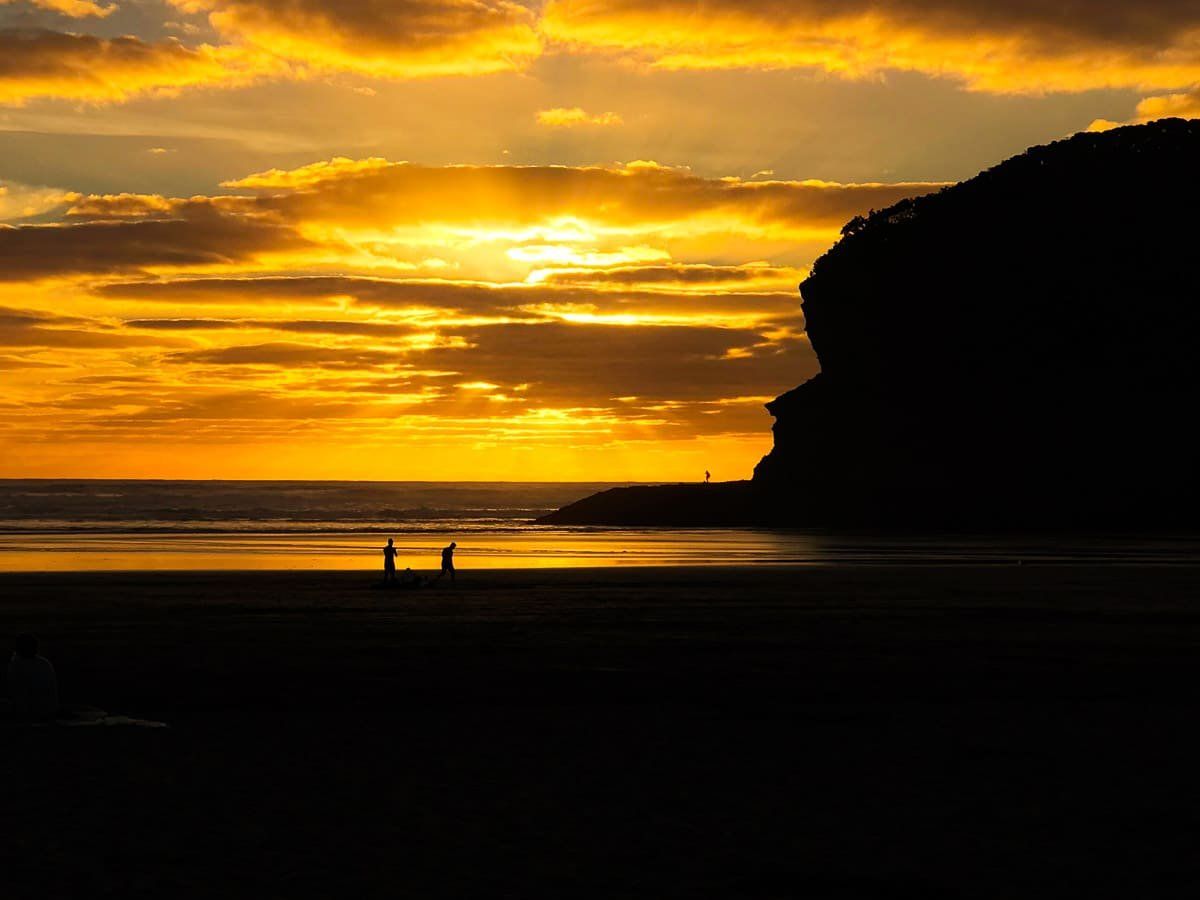
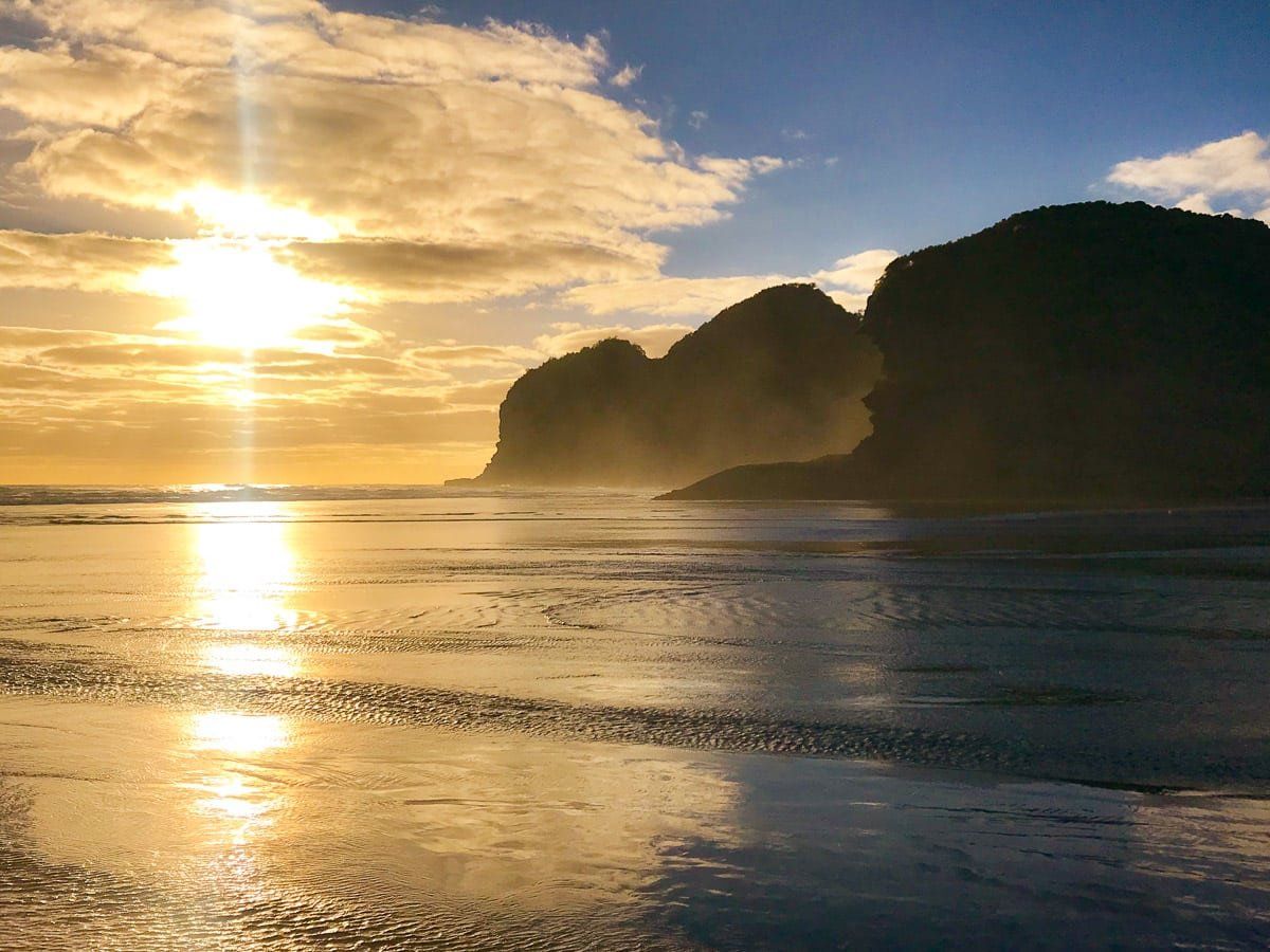
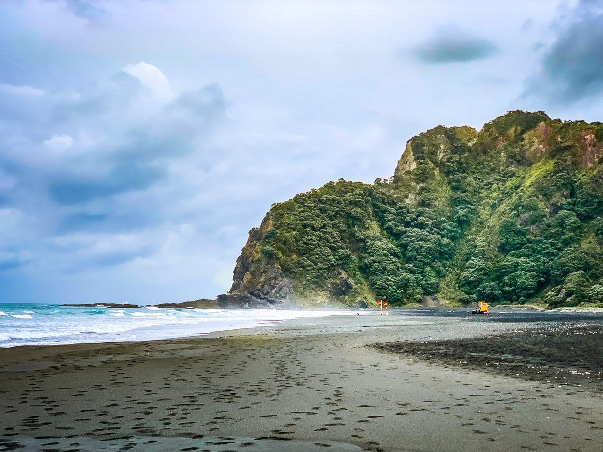
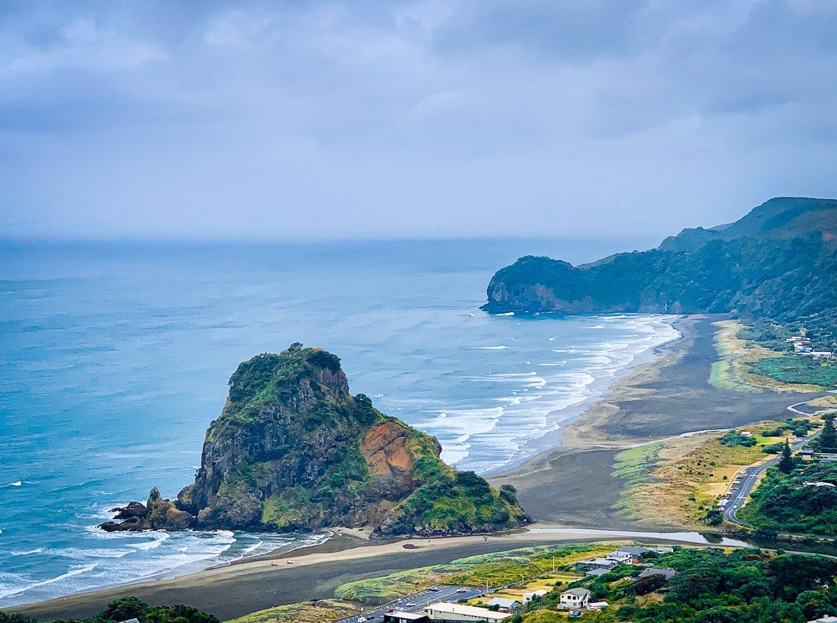
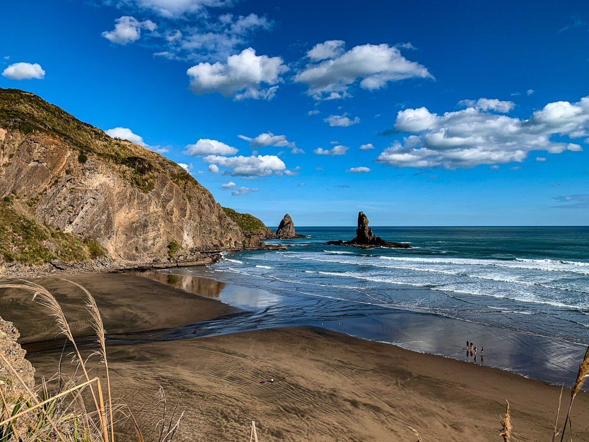
Piha
Piha is incredibly beautiful, and has long been the premier holiday location for Aucklanders on the west coast. Despite that, the town is still quite small with just three cafes and a couple of shops.
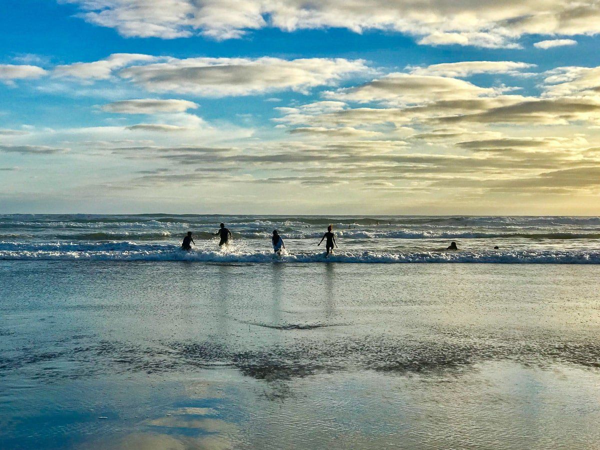
Piha is surrounded by high hills, cliffs, and forest, and has some of the best surfing in the North Island. If you want to swim, the surf patrol area is at the south end of the beach – like all west coast beaches, it’s not safe anywhere else. One great short walk (about 20 to 30 minute each way) is the trail between the end of the beach at North Piha and Whites Beach, which crosses Te Whaha Point. There are plenty of other hikes around Piha – but that’s for another day.
To get to Piha, catch the bus or take Piha Road off Scenic Drive. If you want to stay for more than a day, there’s a campground and plenty of baches to rent.
Whites Beach
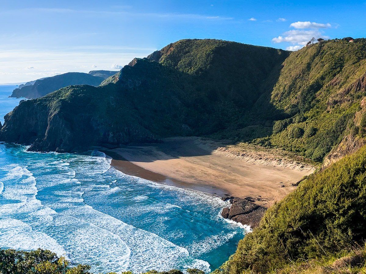
Whites Beach is a small beach to the north of Piha, and (along with Anawhata) is one of the two true gems of the west coast. Neither beach has direct road access, so you need to hike to them.
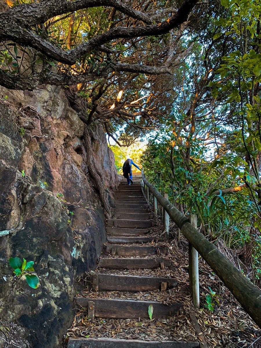
To access Whites Beach, cross over Te Waha Point from North Piha. The track entrance is slightly obscured, but there is a sign on the edge of the forest at the north end of Piha beach. It’s a reasonably steep climb up to the point, with amazing views of both Piha and Whites Beach, especially during sunset.
Another way to access White Beach is the easy but longer track down from Te Waha. There’s also the less obvious “goat” track across the face of the point, which brings you to a guide chain that you can follow down to the edge of the beach. The goat track is much quicker and more exciting – and only a bit scary, although it might not be doable at high tide.
Anawhata
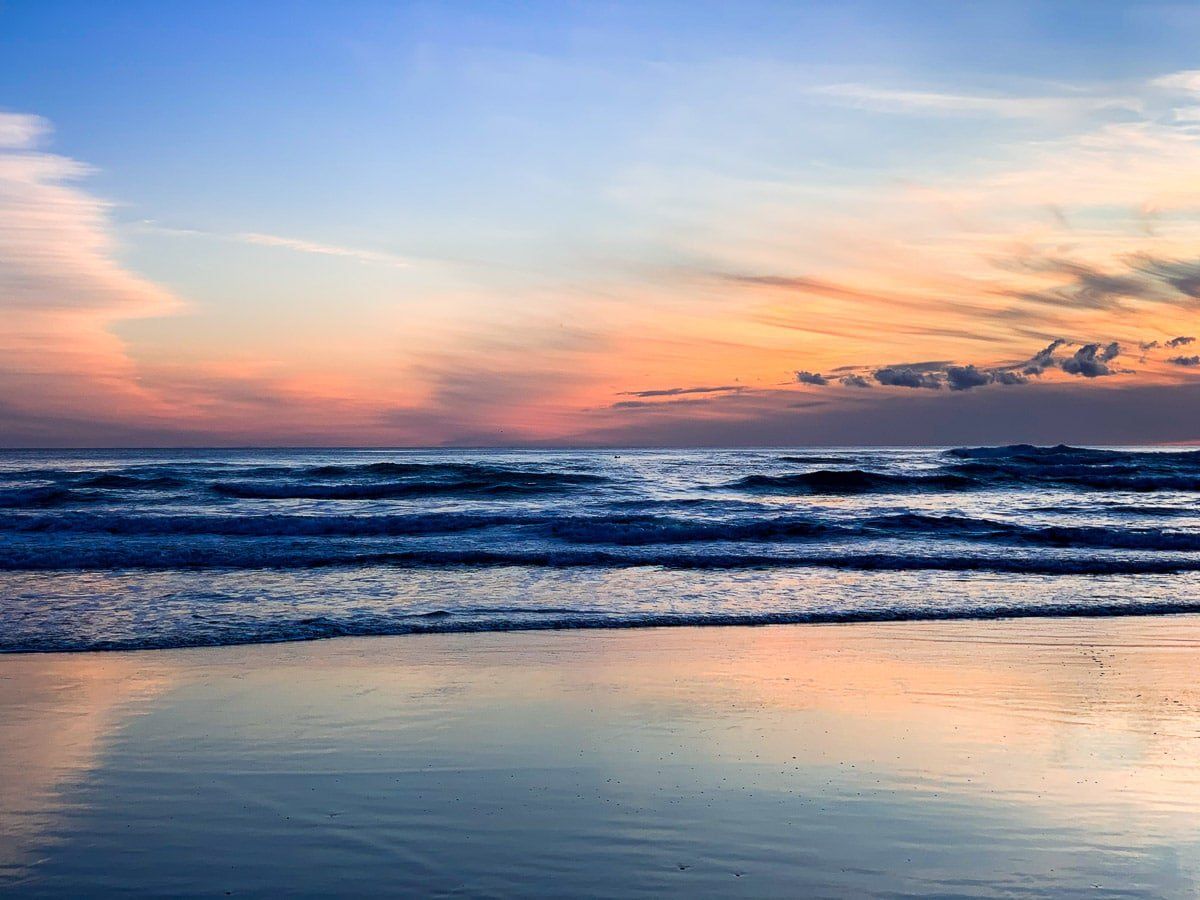
The second of the west coats gems is Anawhata, which is usually near deserted. You can get there by taking the Anawhata Road turnoff about halfway along Piha Road. It’s a pretty, winding, metal road through forest and along the high ridge above Whites Beach, ending at a trailhead. From there it’s a steep 20 to 30 minute walk down to the beach – about a third of the way down there’s a particularly amazing viewpoint on the cliffs above the beach. Alternatively, you can make the steep hike from Whites Beach to Anawhata.
If you’d like to stay overnight, there’s a camping ground near the end of the road or you can rent one of the two houses visible as you head down. Both are managed by the Auckland City Regional Park Service.
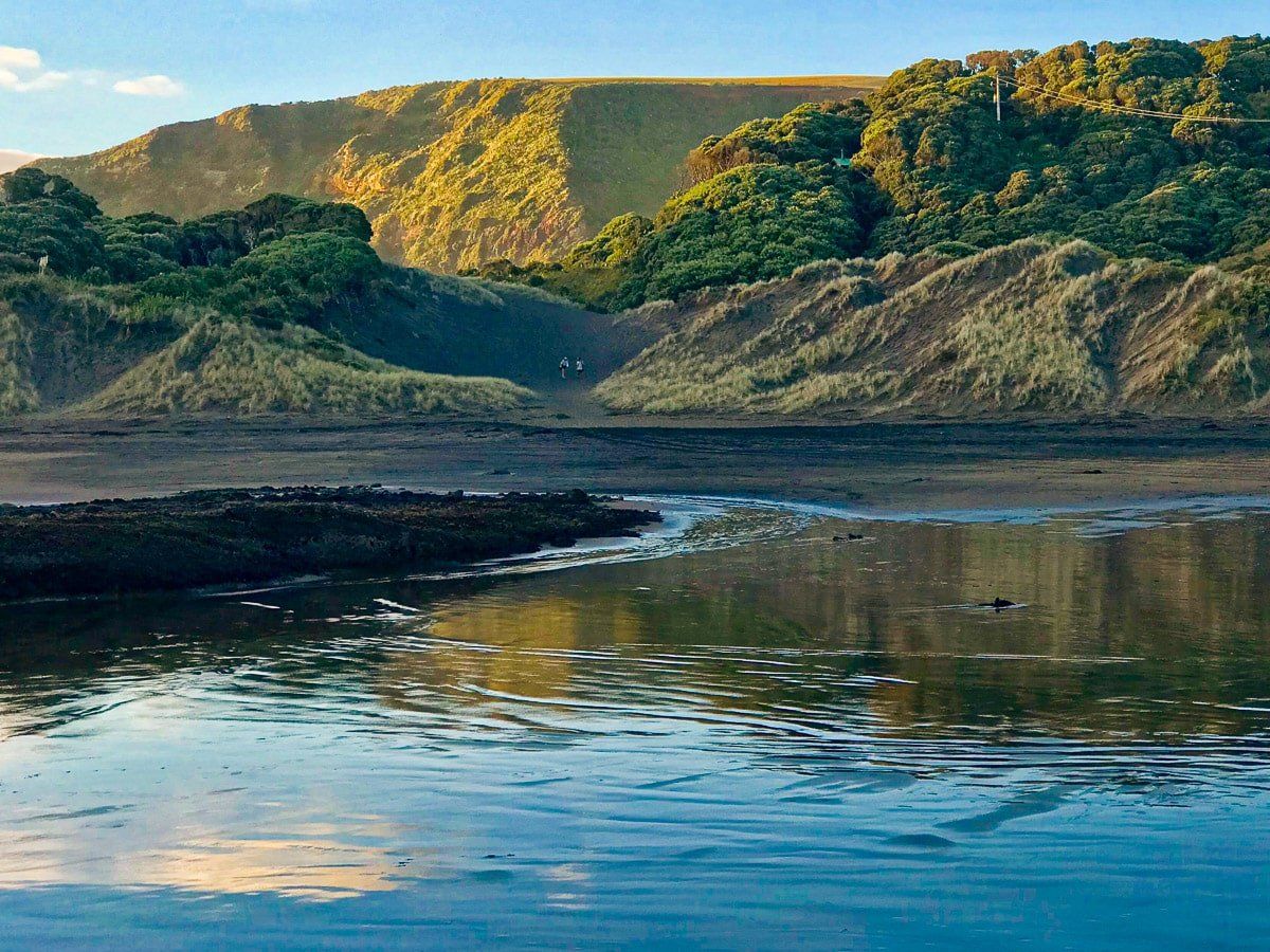
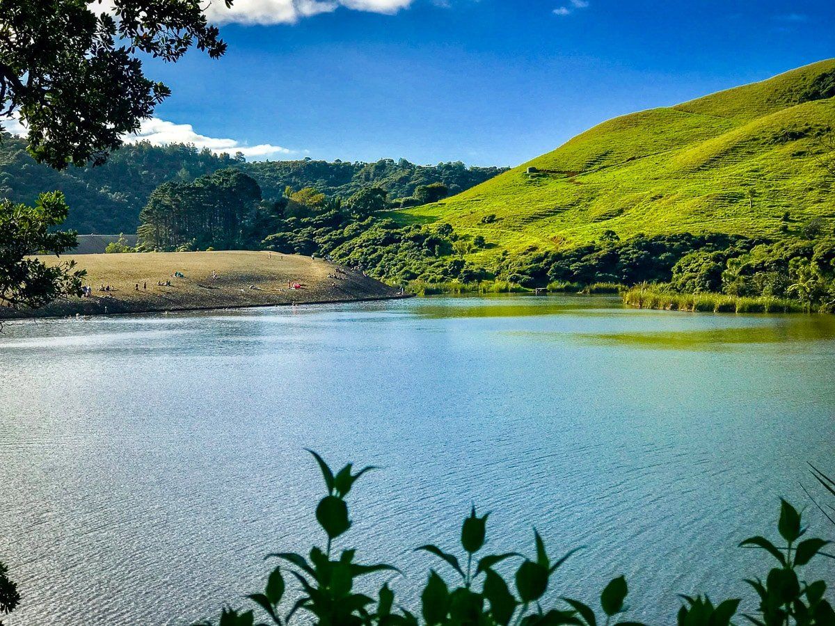
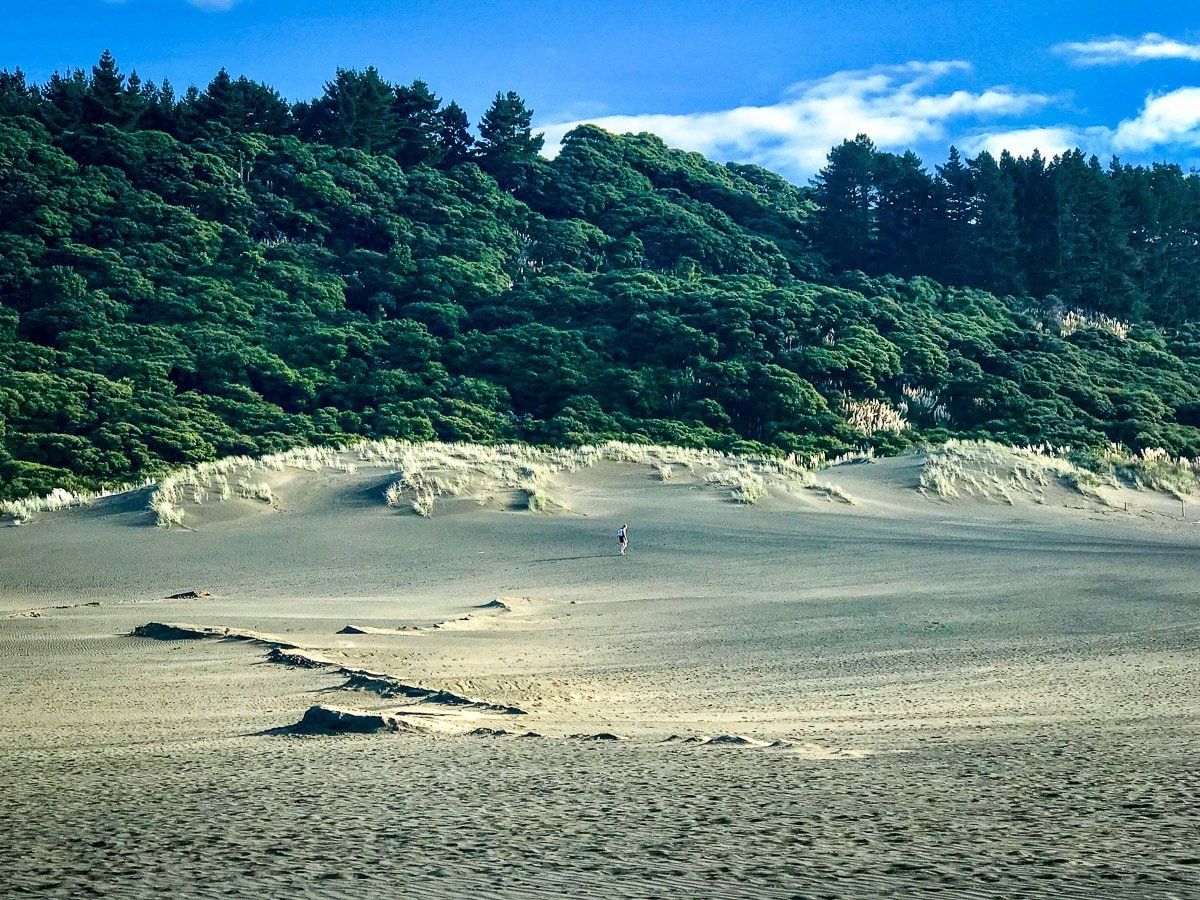
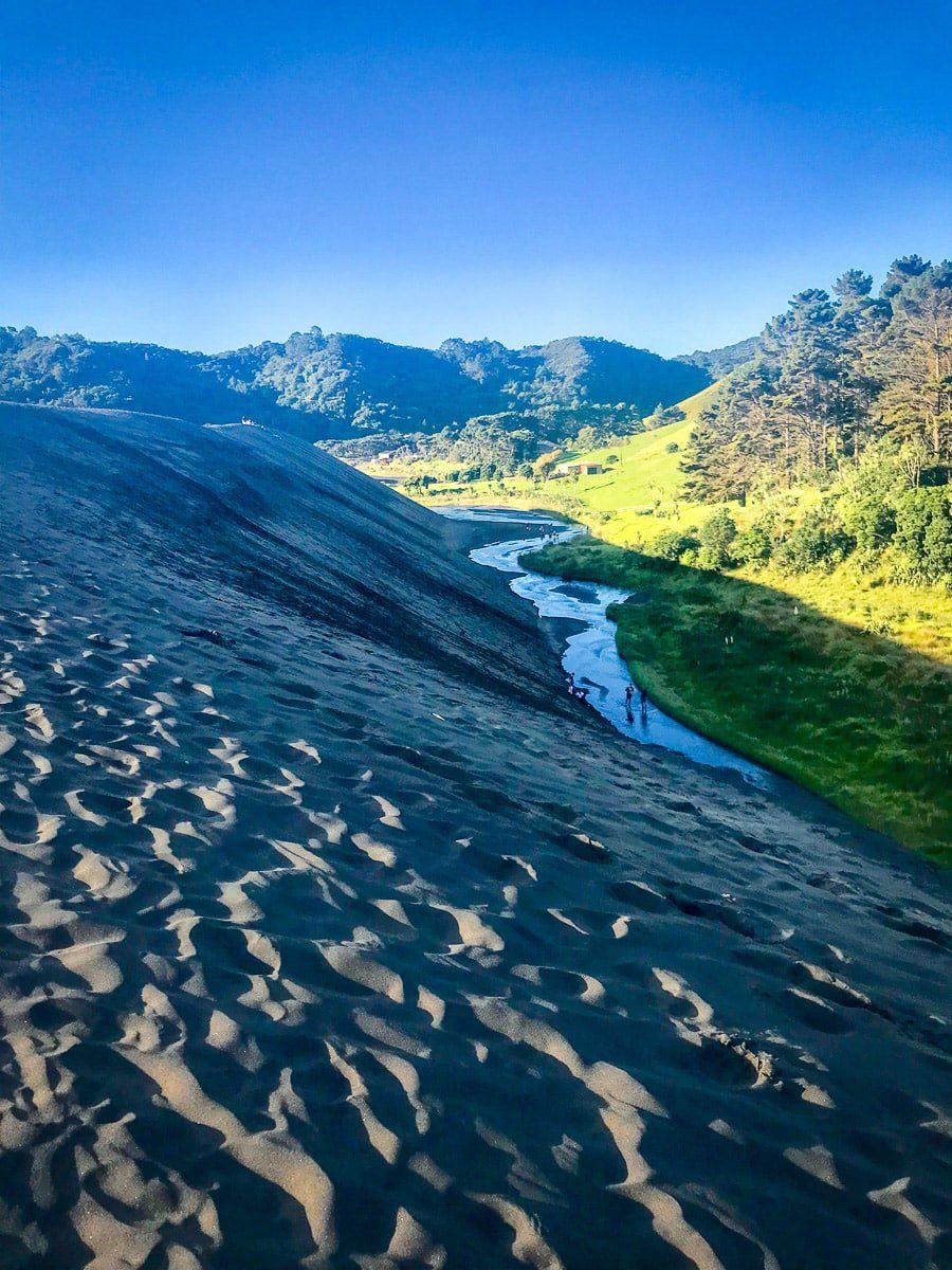
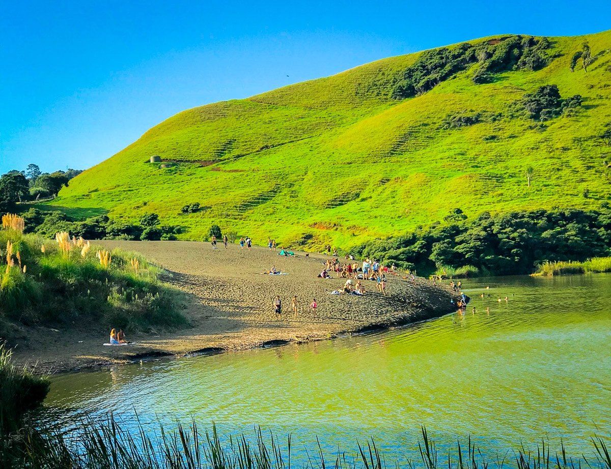
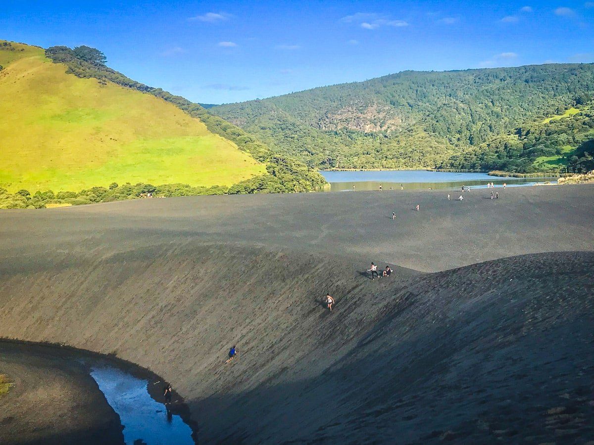
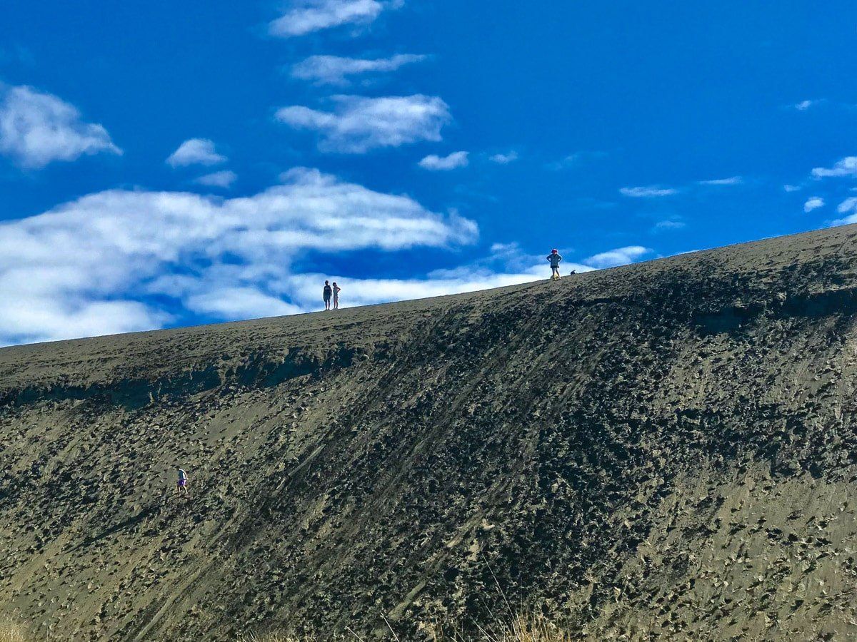
Lake Waimanu
On your way to Bethells Beach, stop at Lake Waimanu, another unique west coast point to visit.
You can access Lake Waimanu from a small car park immediately before entering Te Henga / Bethells Beach. It’s an amazing experience, as you either walk over a giant sand dune, or around it along a stream that follows the north side of the dune. At the end of the dune is a lake, where the dune is effectively acting as a dam. The best swimming is from the edge of the dune.
You can also walk for about an hour around the lake – at the far eastern end there’s a modest waterfall.
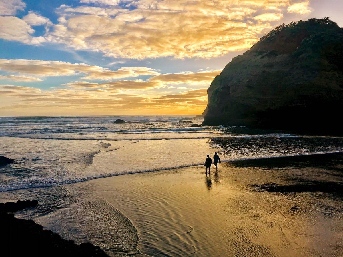
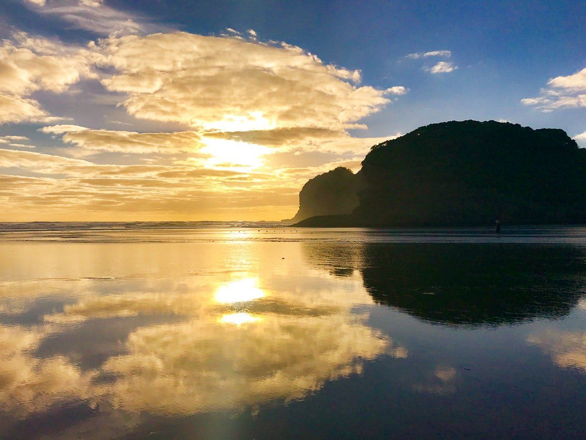
Te Henga / Bethells Beach
Te Henga is a very wide, long beach, about an hour’s drive from central Auckland. At the south end of the beach is a large sea cave, while the north end is the way for more interesting walking and a more private beach experience. To the north of Te Henga, cross the Waitakere River at low tide, then walk down towards Erangi Point. Cross over the sand dune to O’Neill Bay – and if you can, stay until sunset.
To get to Te Henga, drive to the end of Scenic Drive and take the turn to Bethells Road, or take the Western Motorway to reach Massey, continue on to Waitakere and turn onto Bethells Road from there. There’s a reasonable amount of accommodation around Te Henga, but no camping.