
Hurunui is a diverse region of Canterbury that ranges from Waipara, up to Kaikoura, then inland to Hanmer Springs and St James. The Hurunui Alpine Pacific Touring Route is the best way to explore Hurunui; the route follows State Highway 1 from Waipara to Kaikoura, then returns south on the remote Inland Road (SH 70), skirting the Seaward Kaikoura Range and Amuri Range. It then connects with State Highway 7 to reach Hanmer Springs, making it an easy multi-day loop if you want to start and finish in Christchurch.
The first stretch on SH1 takes in the Waipara wine district and whale watching at Kaikoura, but this blog is focussed on some of the other coastal points of interest along this section of the route, including Hurunui Mouth, Gore Bay and Kaikoura. The experiences in each of these locations is very different: from the views above Hurunui Mouth and sandy surf beach at Gore Bay, to the amazing rock platforms at Kaikoura, with its seals, a seabird breeding sanctuary and rock pools.
Hurunui Mouth
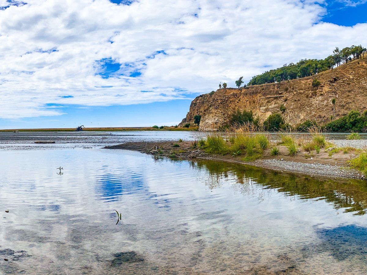
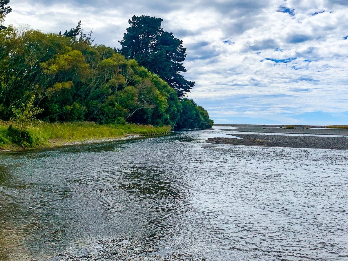
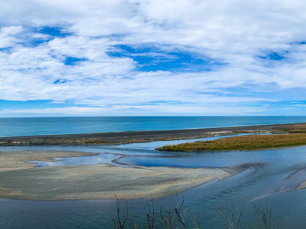
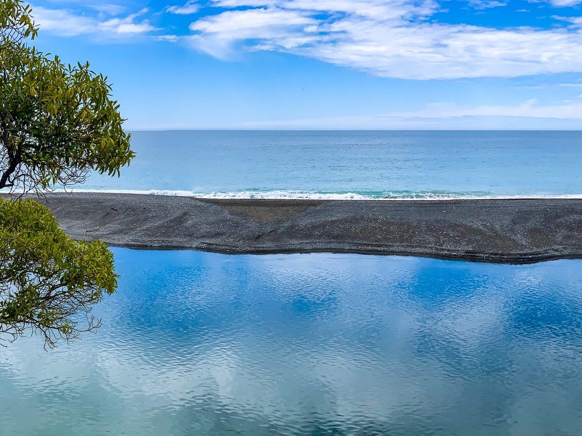
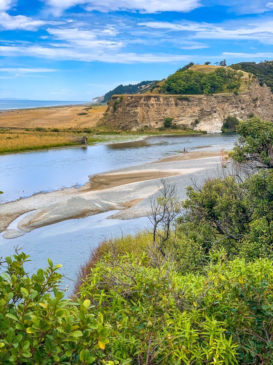
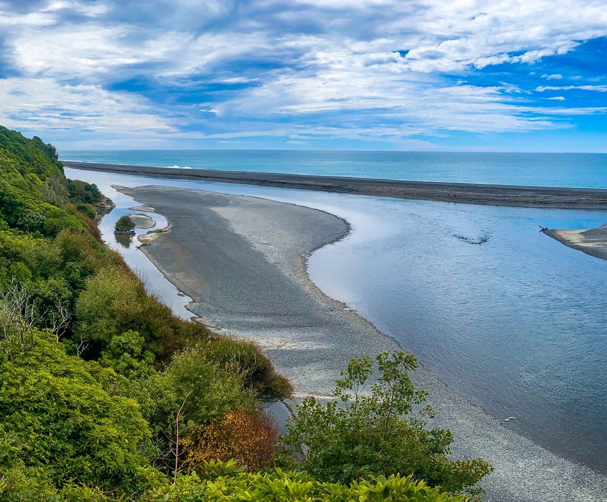
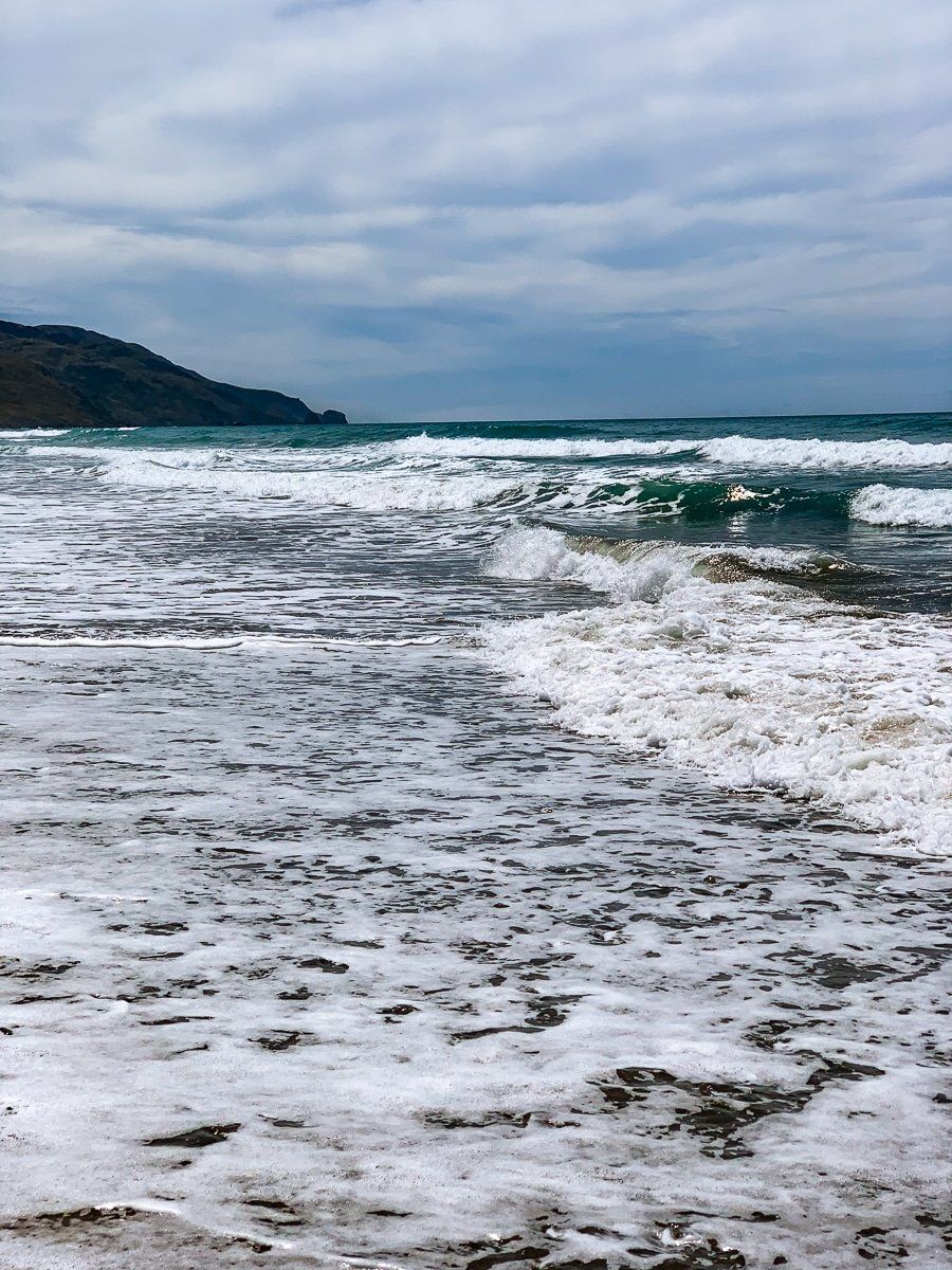
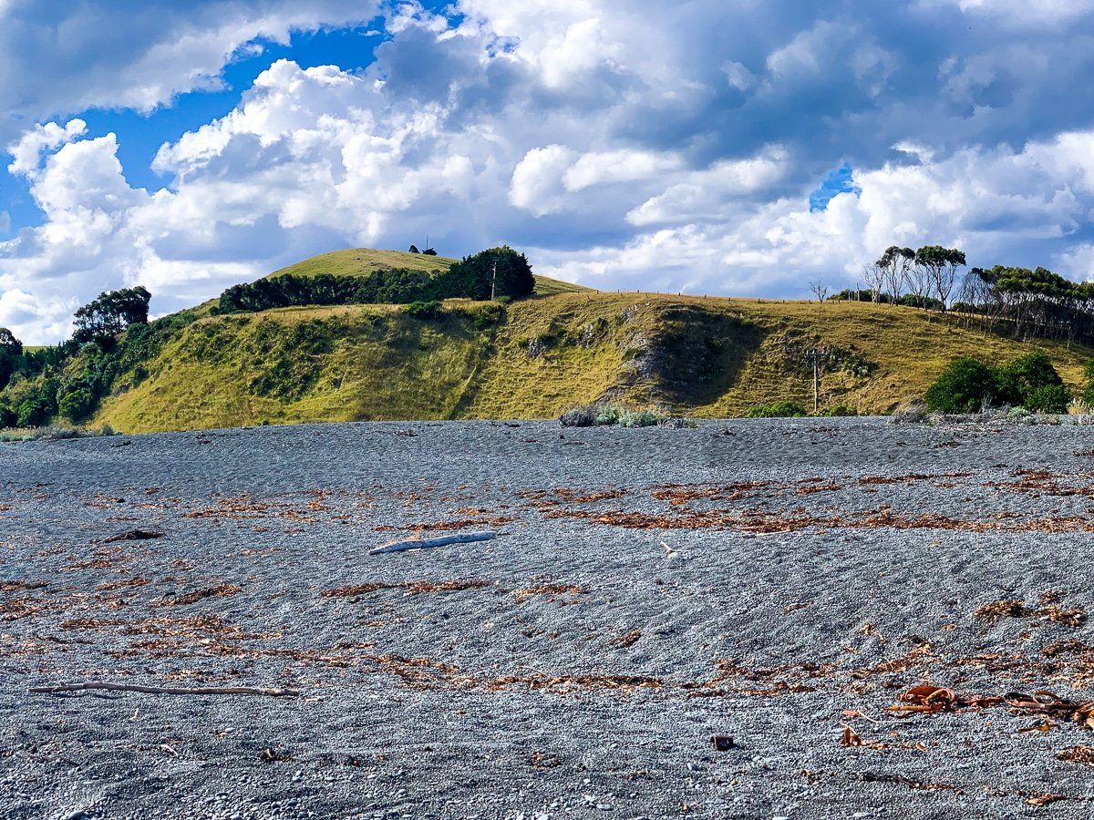
Hurunui Mouth can be accessed off the main highway along Hurunui Mouth Road. There’s a Scenic Drive sign two thirds of the way along the road to Gore Bay, but keep going past the sign to reach the mouth. At first sight, there’s no particular reason to go to Hurunui Mouth, but it is pretty, and you can camp, fish, and boat beyond the hamlet. Plus, if you cross the river near the campground you’ll find a pretty, wild strip of remote beach with no official name.
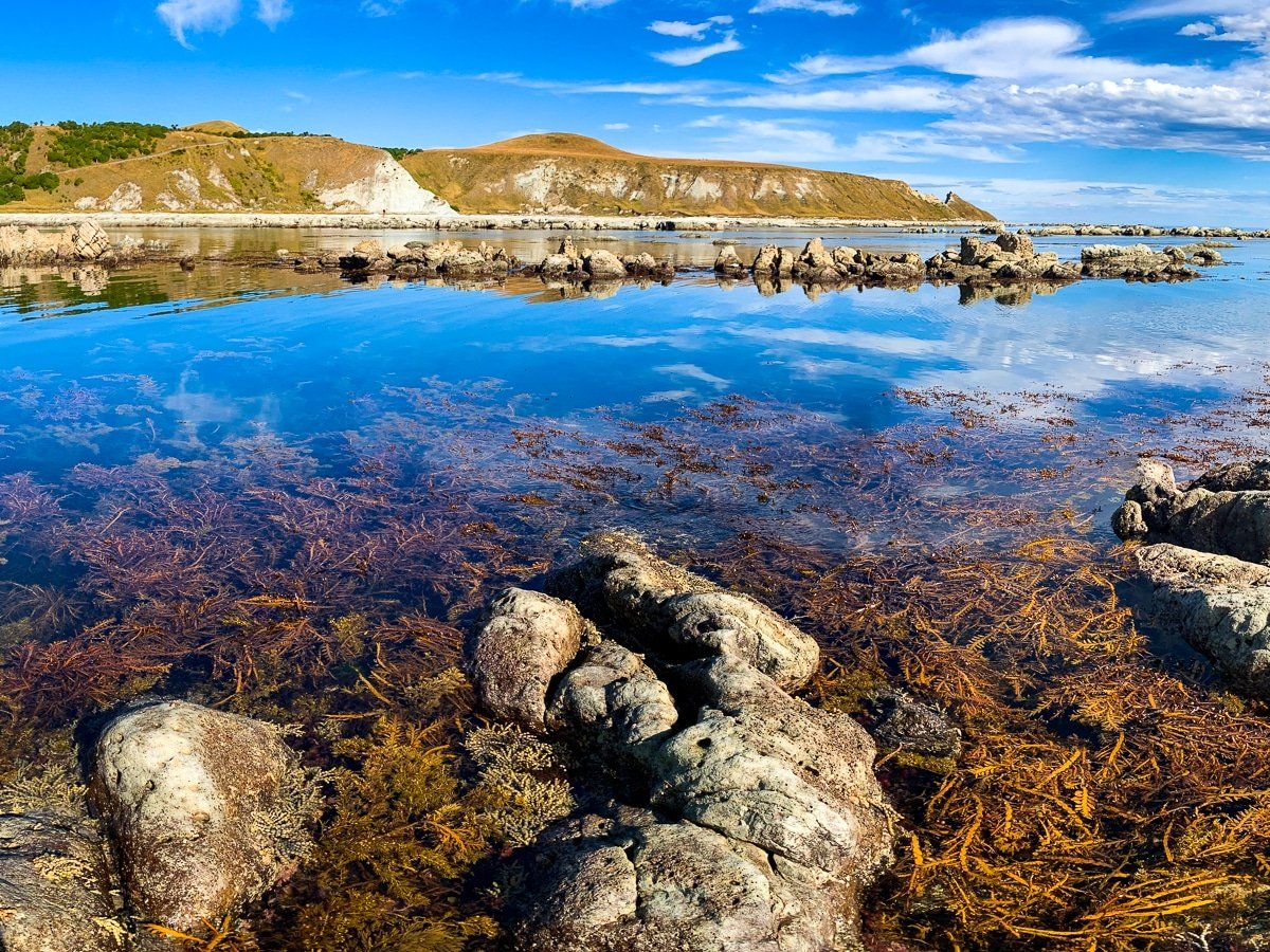
You can’t see it from the riverside by the campground, but the river spreads out into a large lagoon between the beach and the cliff to the north before eventually entering the ocean.
Manuka Bay Track
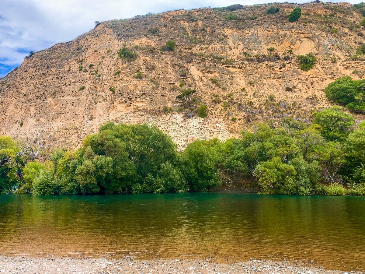
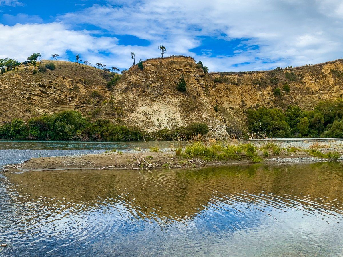
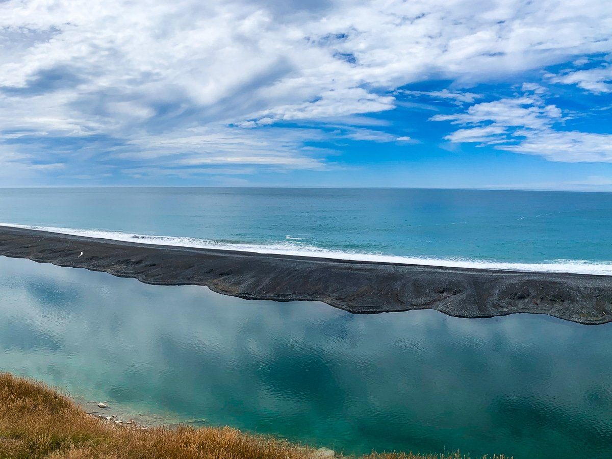
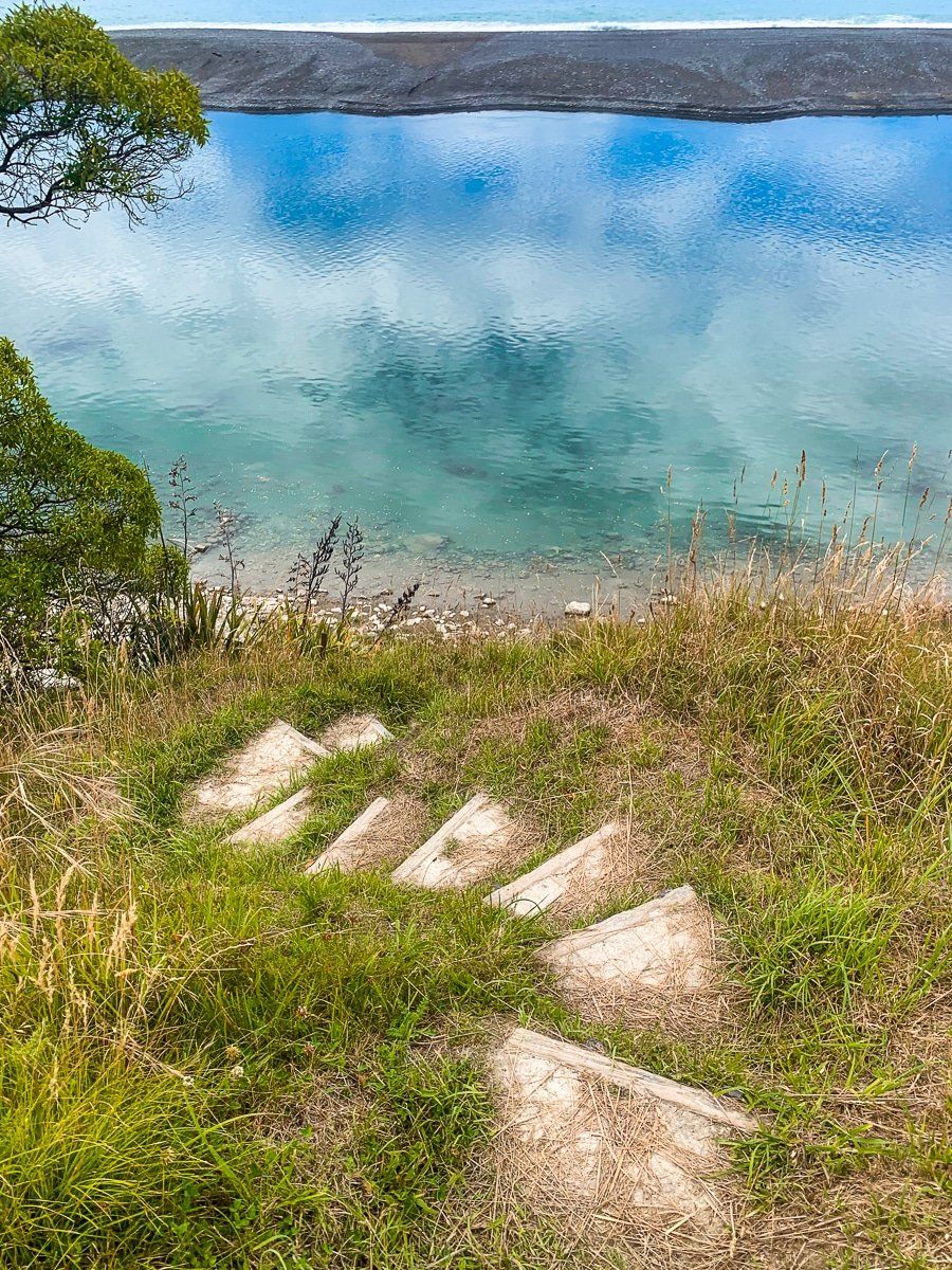
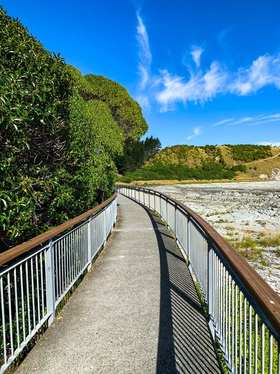
Towards the end of Hurunui Mouth Road, head left opposite the entrance to the campground. The short metal road takes you up to the top of a cliff, where there’s a viewpoint and the start of the (largely unknown) Manuka Bay Track.
The track follows the cliff before veering down to the lagoon, back along the cliff, past the actual Hurunui River mouth, then on to Manuka Bay. You can walk all the way around to Gore Bay as an extension to the track. The best feature is the stunning and unexpected view over the lagoon!
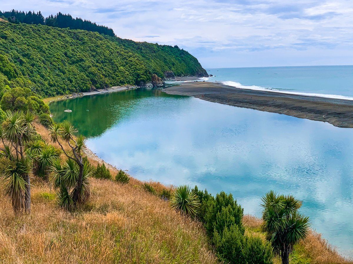
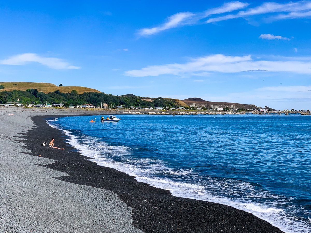
Gore Bay
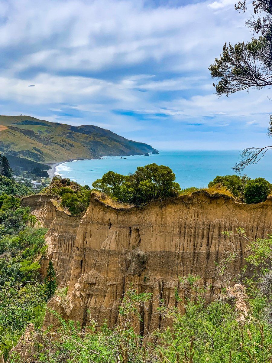
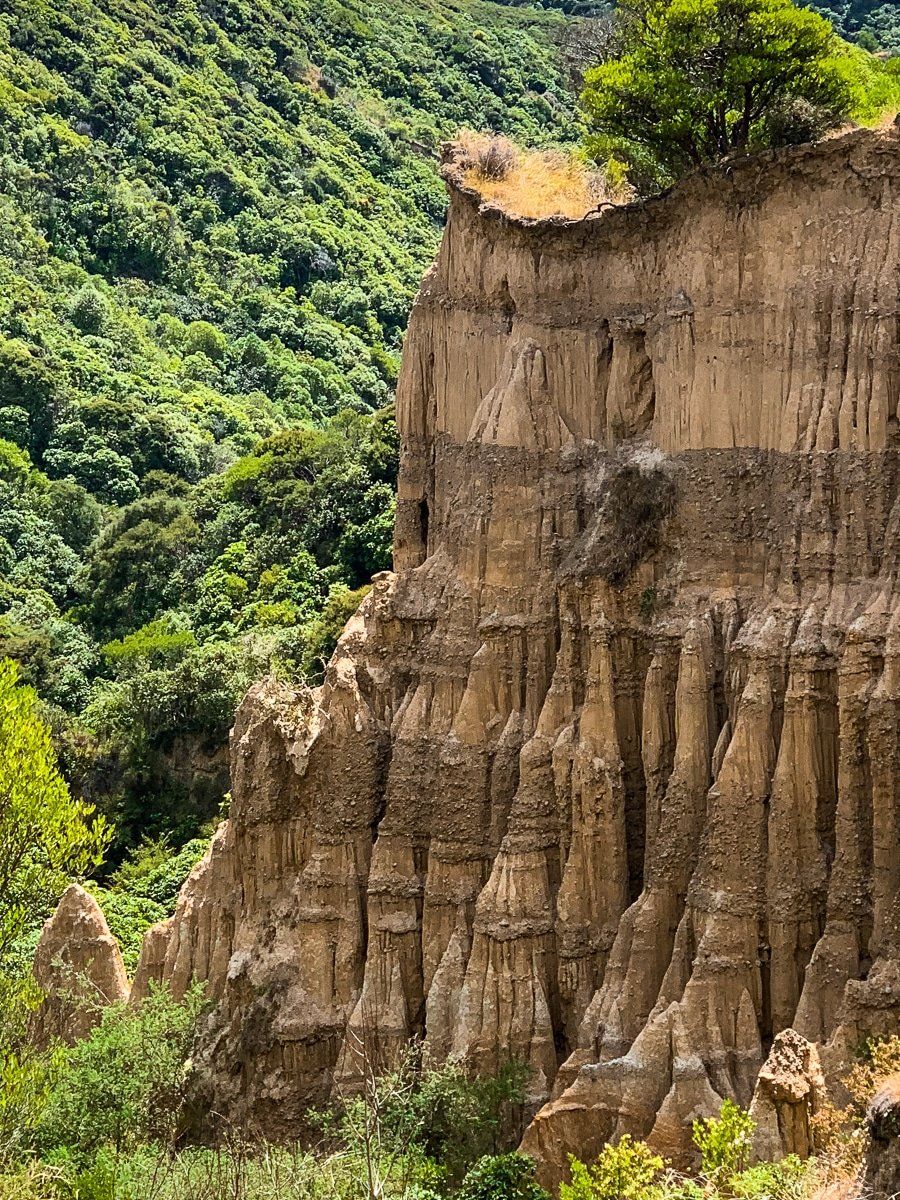
From Hurunui Mouth Road, follow the Scenic Drive sign to Gore Bay via Cathedral Road. Along the way you can also access Manuka Bay and stop at a viewpoint overlooking The Cathedrals rock formations.
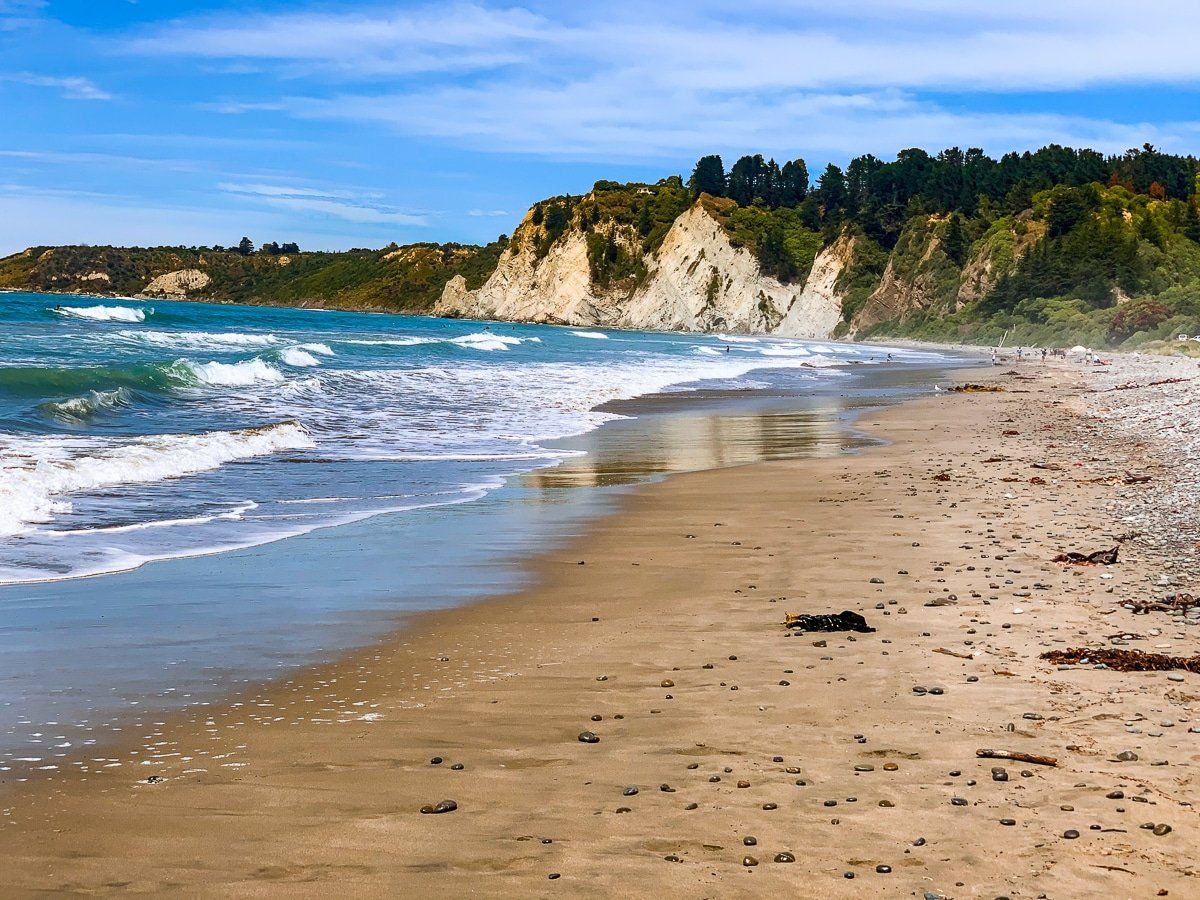
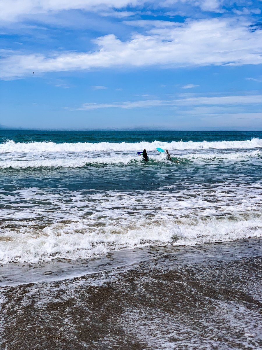
Gore Bay itself is lovely, with a sandy surf beach fringed by holiday homes. There’s also a campground, and the Tweedies Gully track takes you to a high point above the bay.
Kaikoura, South Bay
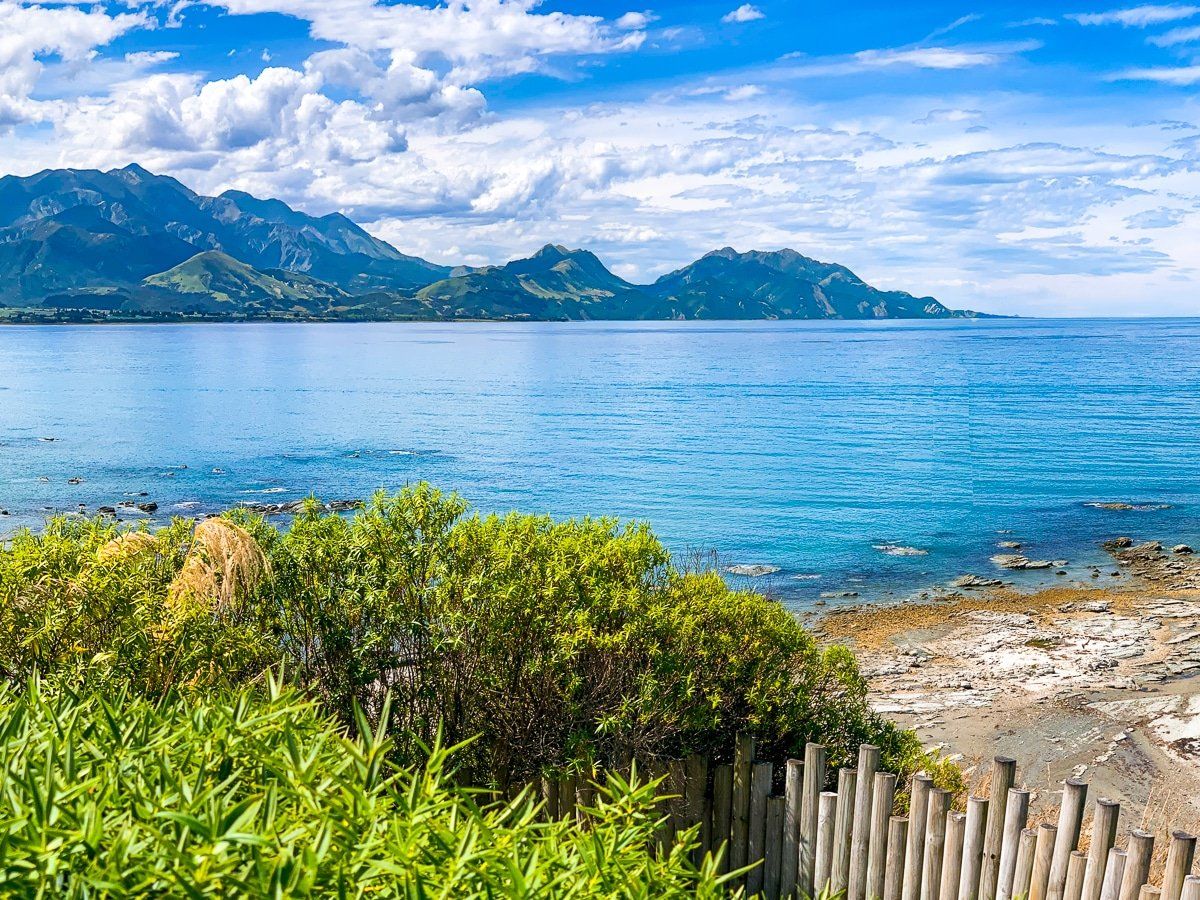
From Cheviot, the drive to Kaikoura is particularly scenic. There are flat river valleys, then the road winds through hills before traversing the Pacific Ocean coast brings you to the South Bay of Kaikoura.
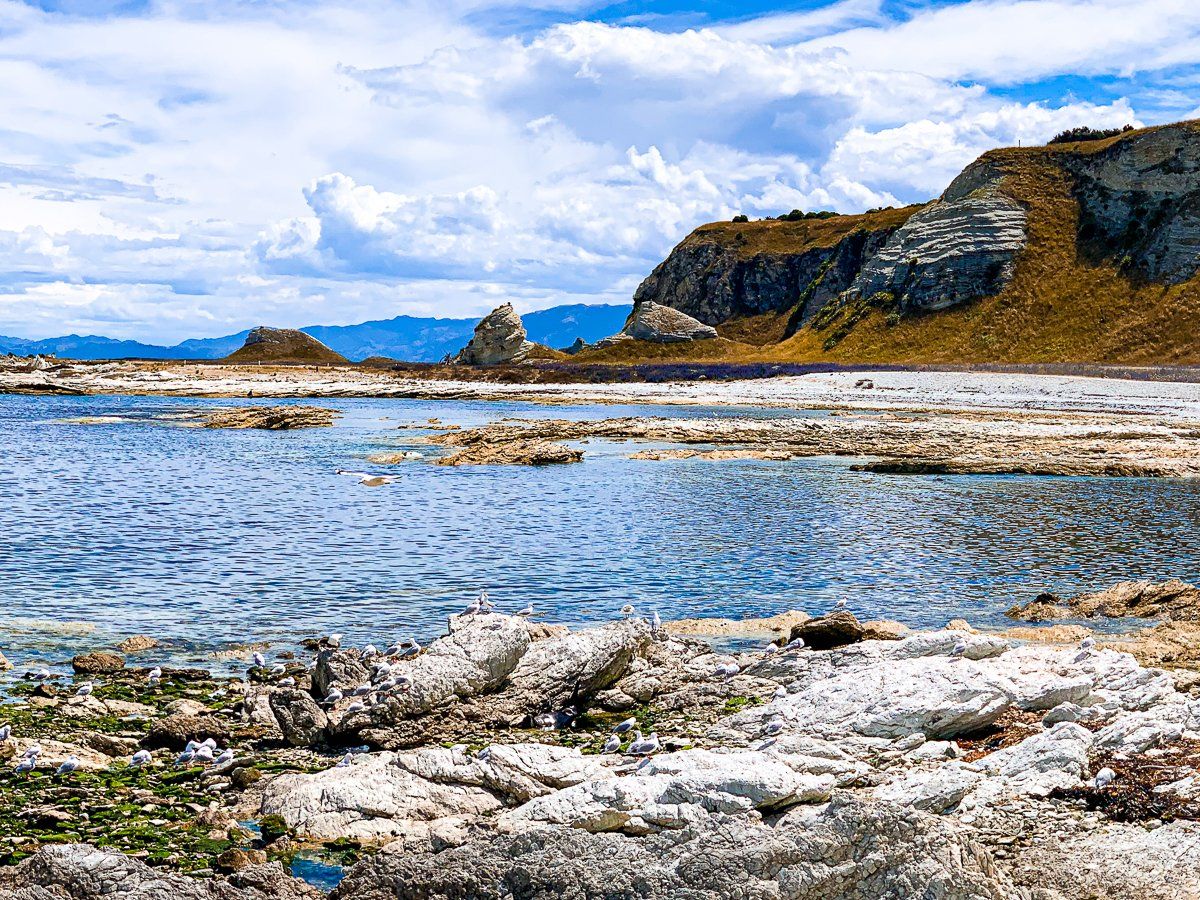
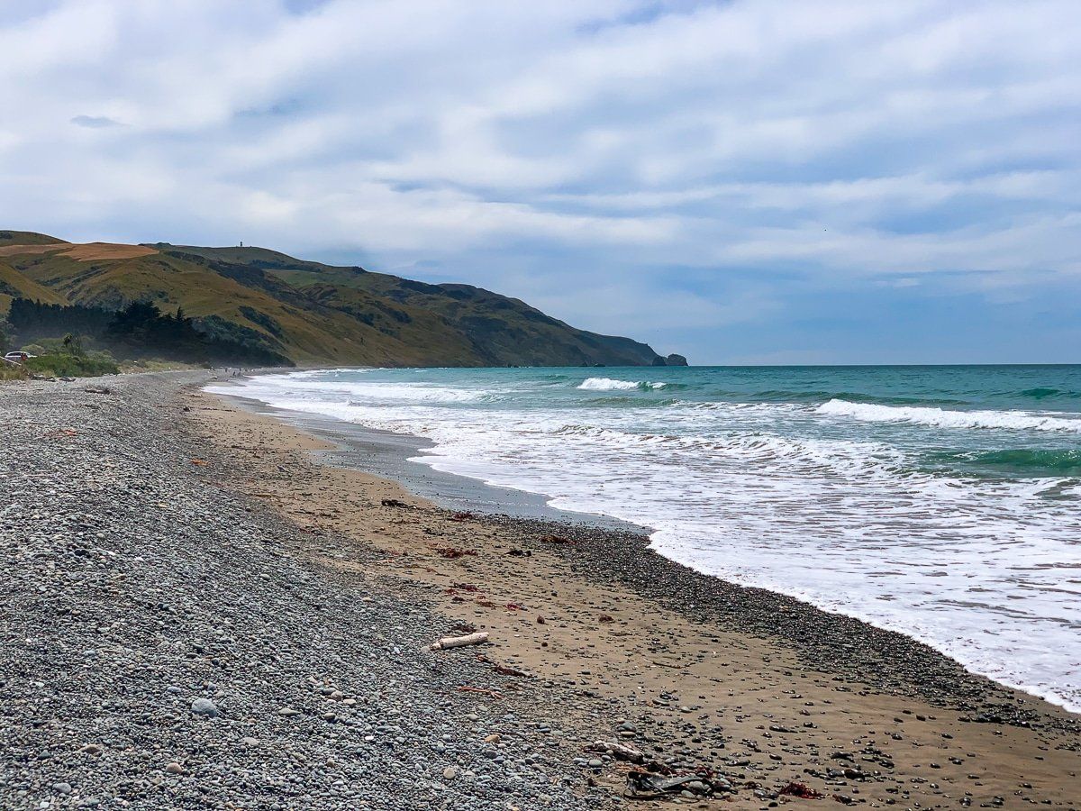
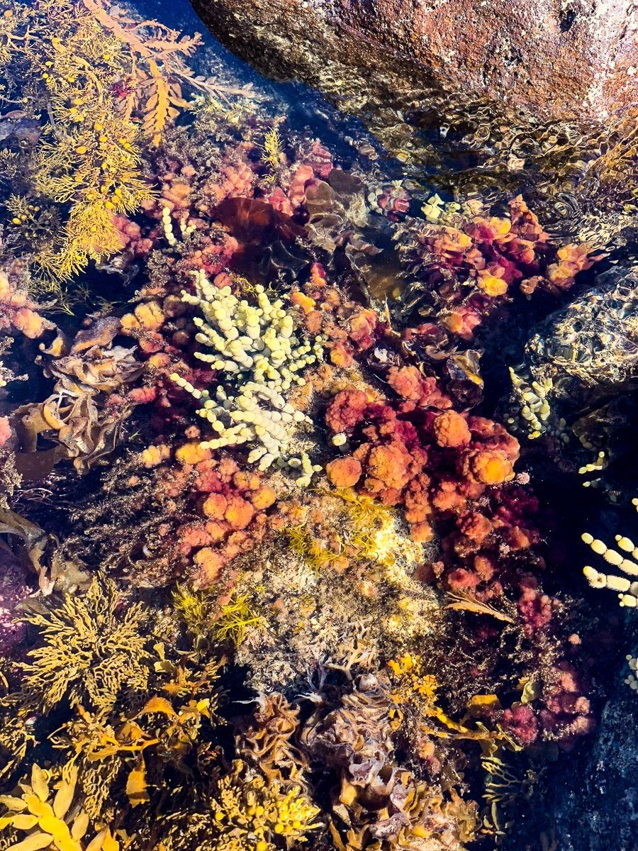
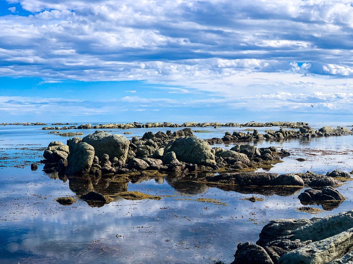
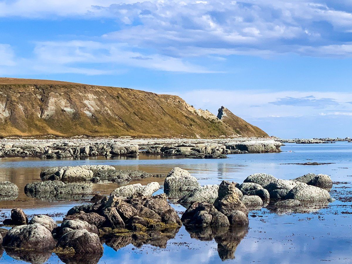
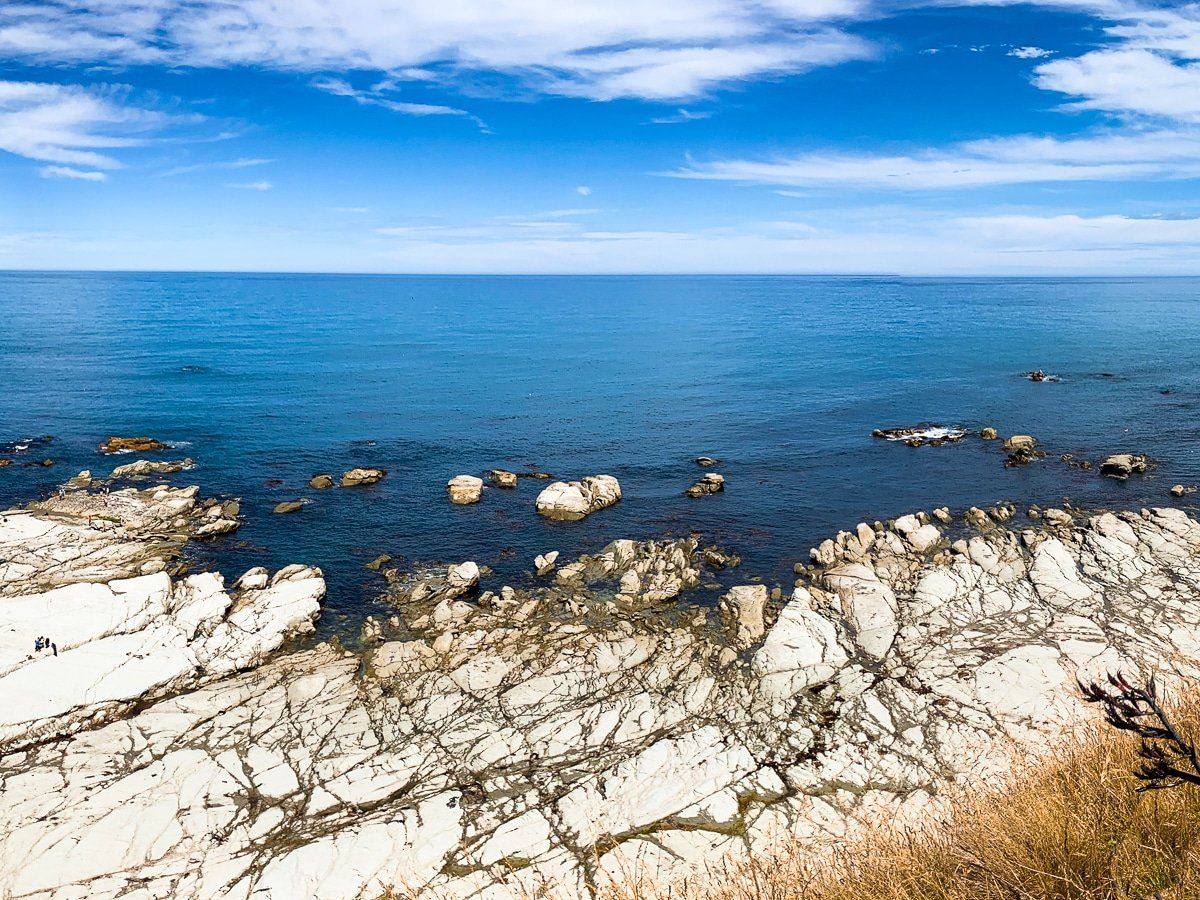
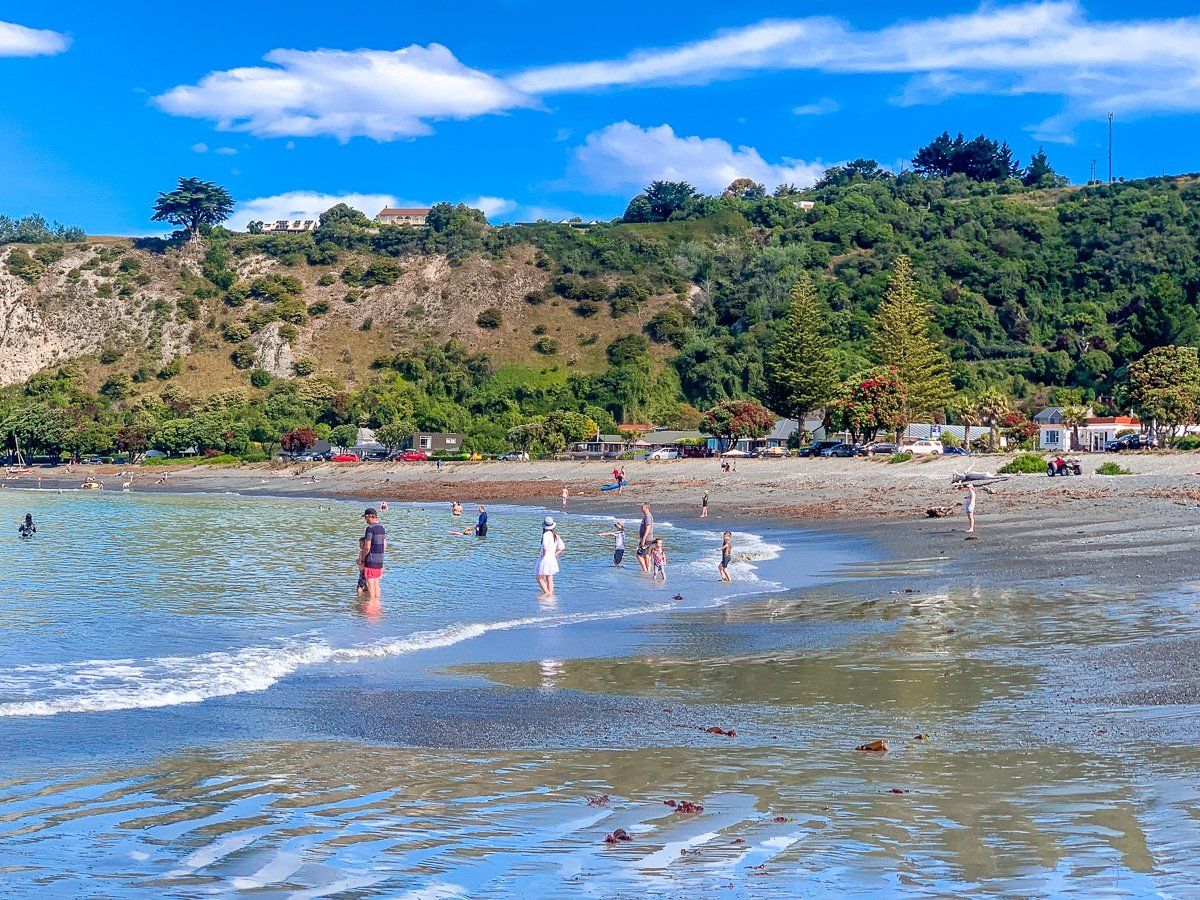
The South Bay of Kaikoura is a place of contrasts. It starts as a wide sweeping bay, with fantastic views to the southwest, then becomes a series of rock platforms as you approach the southeast end of the Kaikoura Peninsula. Park in the reserve at the end of the road and start wandering around – if you can, explore as the tide goes out.
Clifftop Kaikoura Peninsula Walkway
The Kaikoura Peninsula Walkway is stunning and takes up to three hours to complete, although you can do as much as you like. The walk starts at the South Bay road end and reserve, where there are several excellent information panels describing the area. The walkway follows the edge of the rock platforms, then heads up to the top of the cliff at the end of the peninsula. It then tracks all the way around to the road end at the north eastern tip of the peninsula.
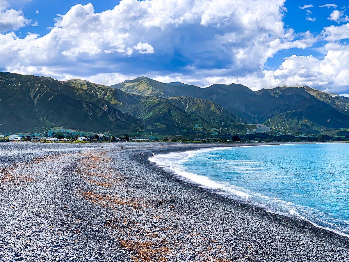
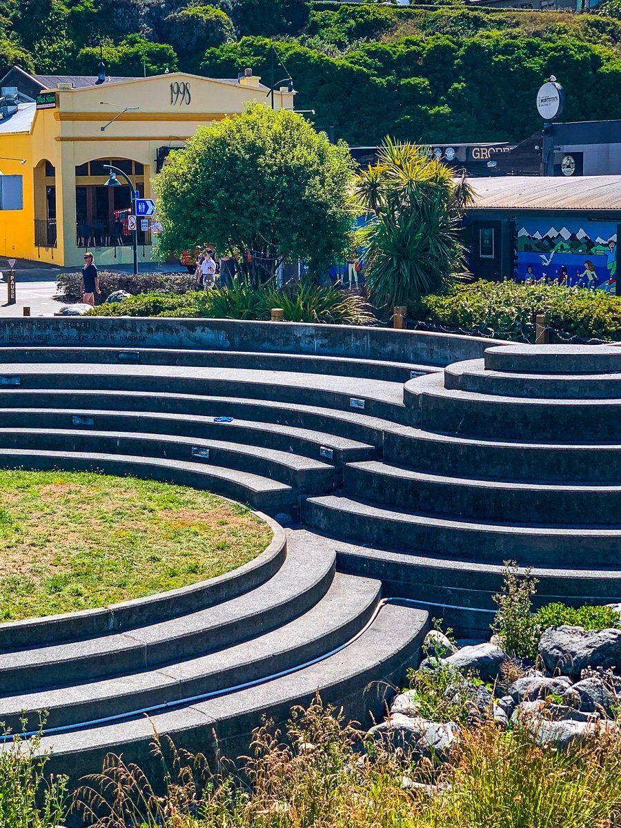
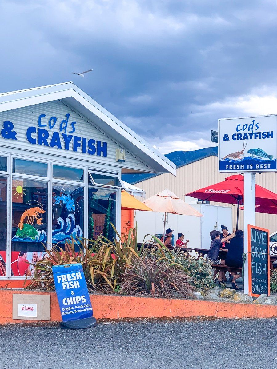
Kaikoura North
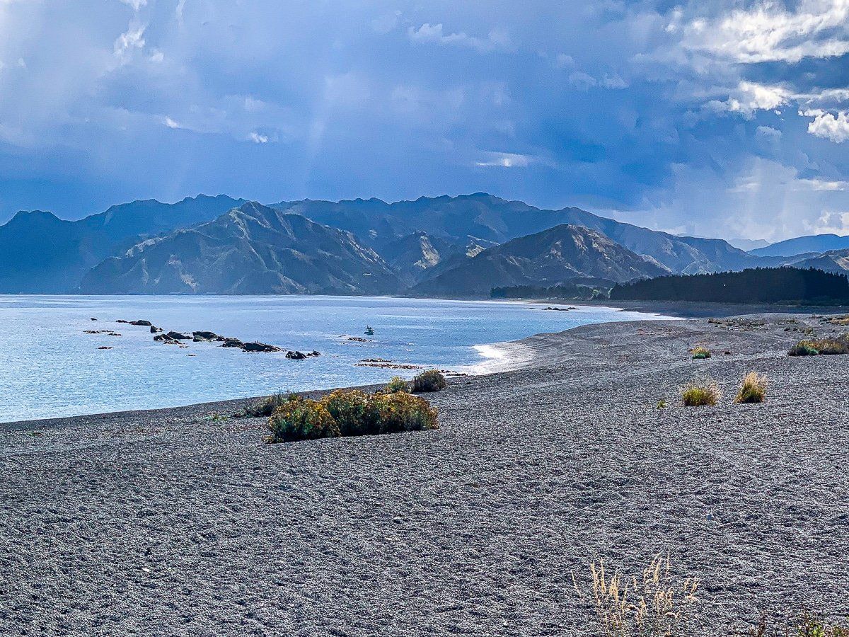
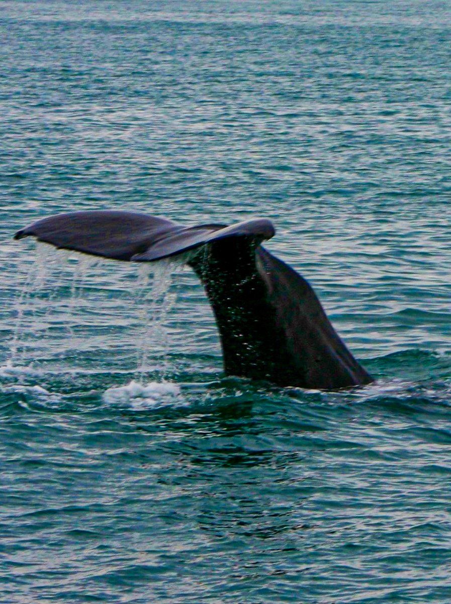
The main area of Kaikoura township, including access to tourist attractions, is on the northwestern end of the peninsula. The beach here is stony, but provides great views of the Seaward Kaikoura Range. As you head around the north side of the peninsula you’ll also find a sandy section of the beach immediately off the main road which is suitable for swimming. Thanks to @travelsfromedensor for the whale photo.
Lower Kaikoura Peninsula Walkway
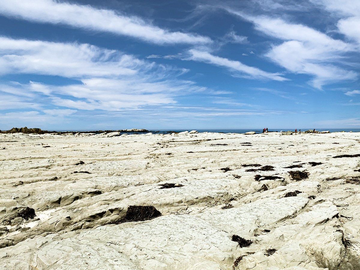
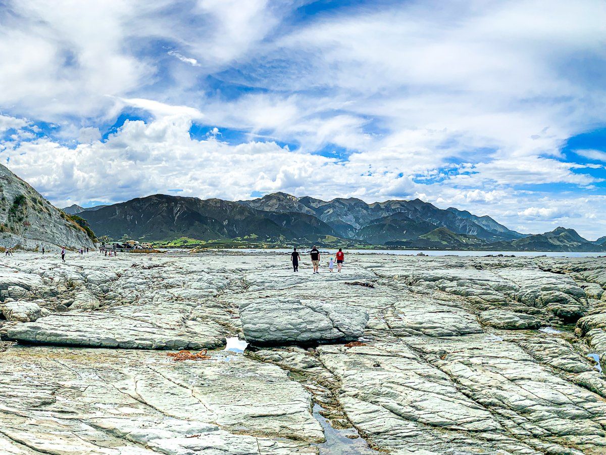
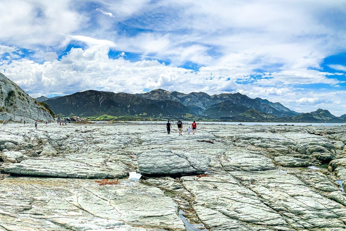
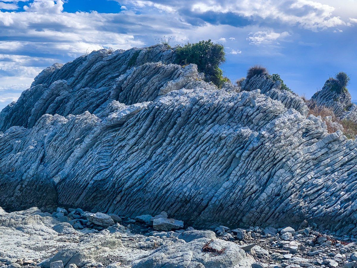
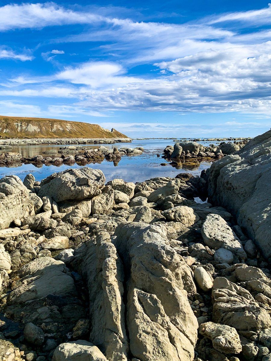
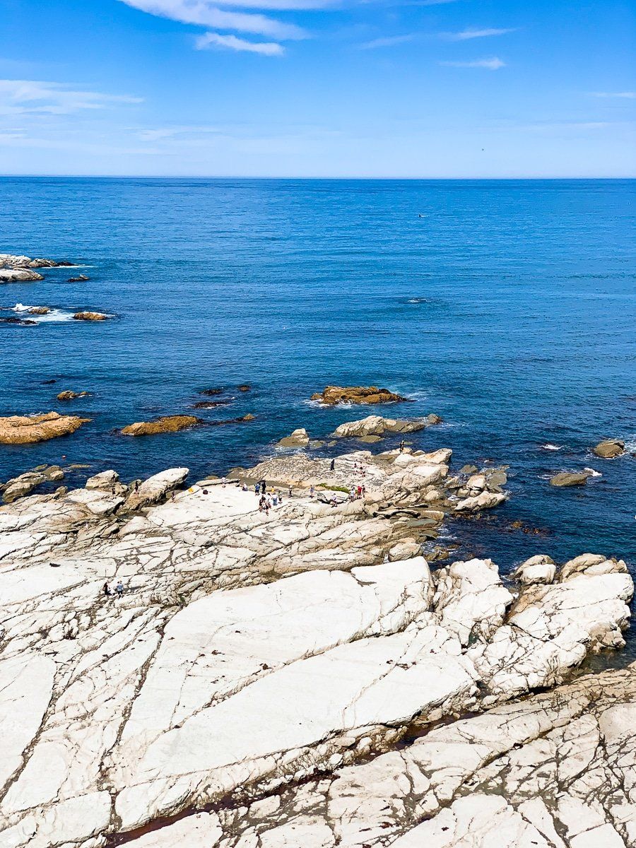
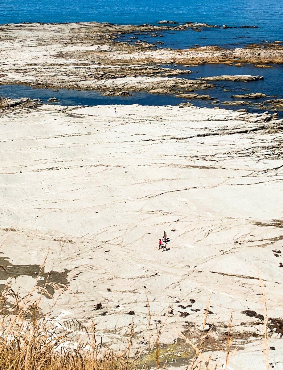
To explore the extraordinary rock platform seen from the cliffs of the Kaikoura Peninsula Walkway, continue on the north side of the Kaikoura Peninsula to the end of the road. From here you can walk onto the rock platform, or access the track up onto the top of the cliff. The rock platform was pushed up by the 2016 earthquake and is now largely bleached white.
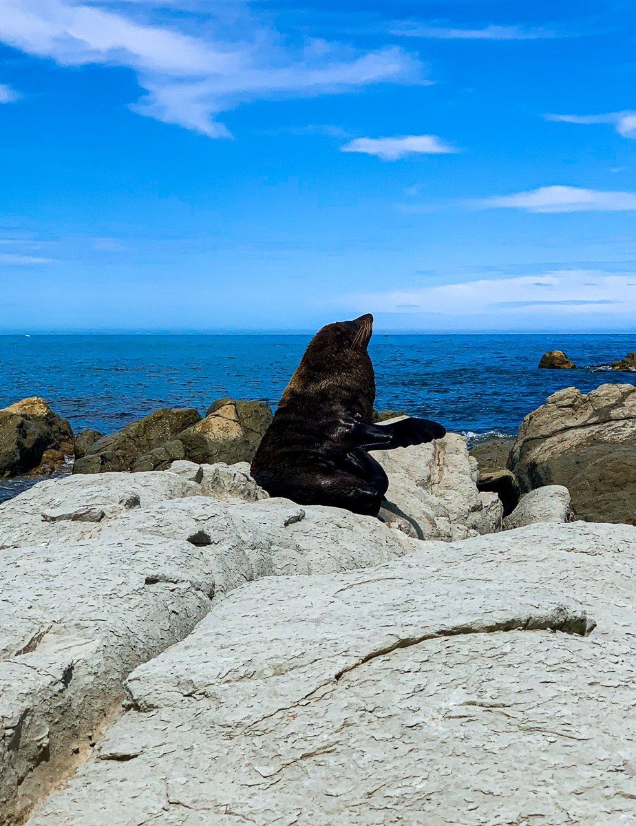
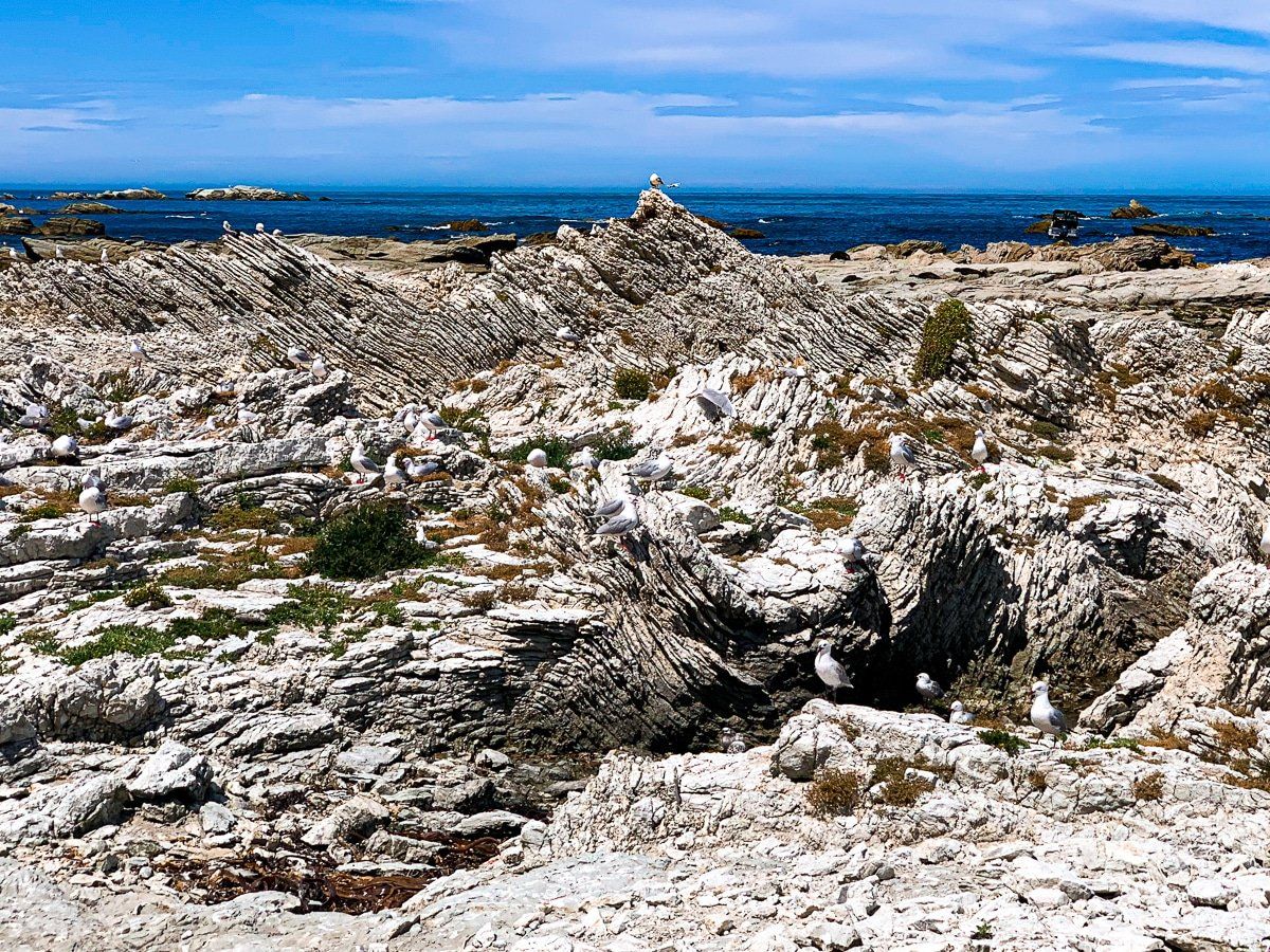
If you follow the base of the cliff, you’ll reach a protected seabird breeding area – the number of gulls is astonishing and the edge is marked by raucous sentries. Continue on to the main seal colony. You can also do this as a loop with the north end of the Peninsula Walkway.