
Great Barrier Island Aotea is truly beautiful, with hikes, stunning beaches, forests, native birds, hot pools and fewer than one thousand full time residents. Accommodation ranges from DOC camp grounds to lodges, and the only minor challenge is food – there are only a few options in Tryphena, Claris and Port Fitzroy, and opening hours can be idiosyncratic, so make sure you have a plan at the start of each day.
The easiest way to Aotea is by plane; it’s a thirty-minute flight from Auckland Airport or the aeroclub facility at Dairy Flat, landing in Claris. You can also take a vehicle on a four and a half hour Sea Links trip from Wynyard Quarter in downtown Auckland, docking in Tryphena.
Once you’re there, rent a car, electric bike or scooter, as there are no buses. You can mentally divide the island into a west coast dominated by the Hauraki Gulf-facing tidal bays and harbours, an east coast dominated by surf beaches, and a central area of rugged volcanic cores and forest regrowth, with various hiking tracks.
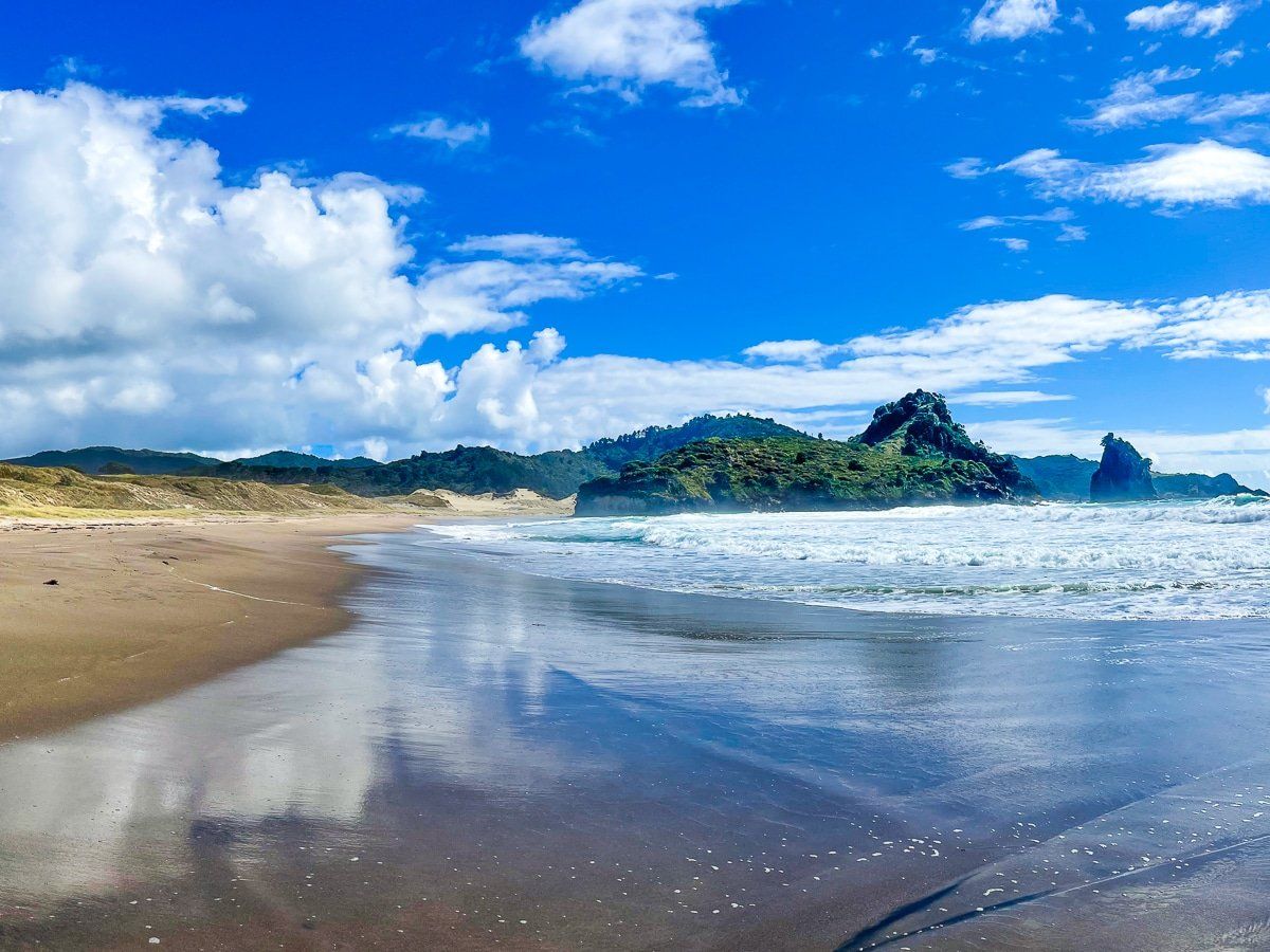
Medlands Beach
The eastern part of Great Barrier Island is linked from north to west by a windy and narrow sealed road. The road runs from Medlands, through Claris and the Aotea Conservation park, to Okiwi. It’s then an unsealed road to Whangapoua Beach.
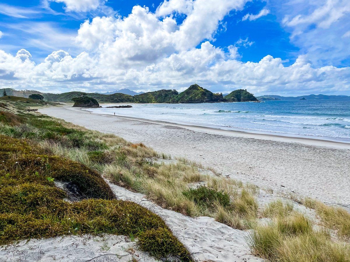
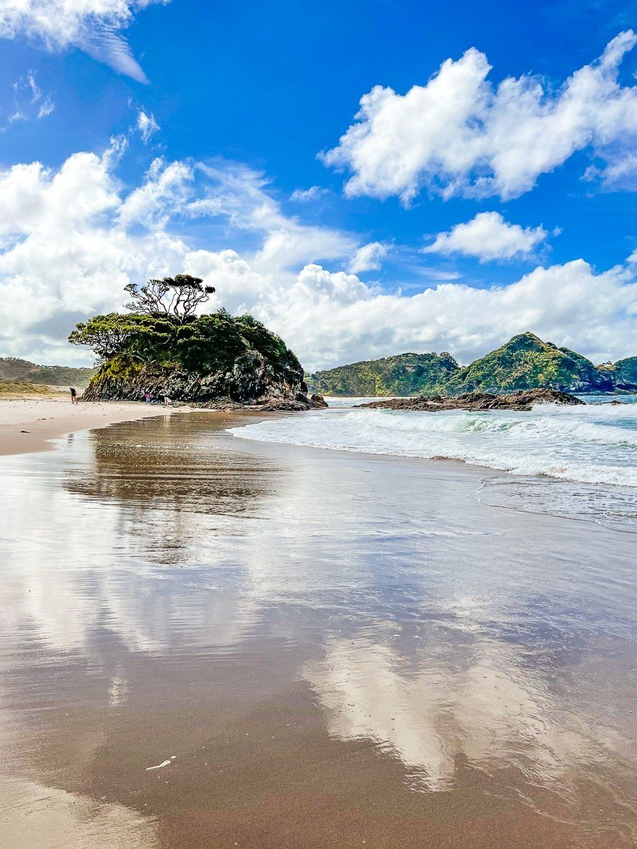
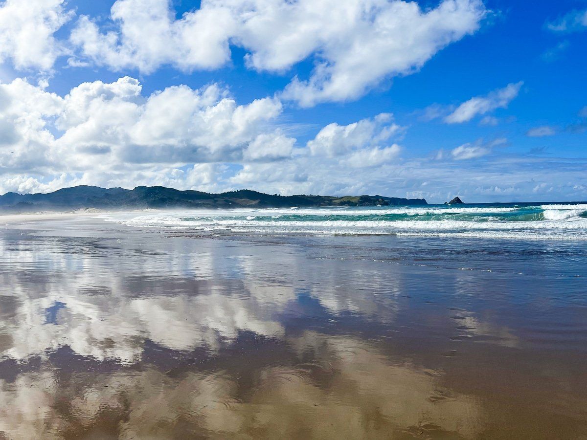
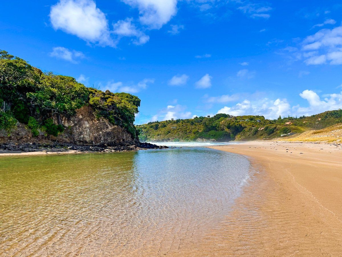
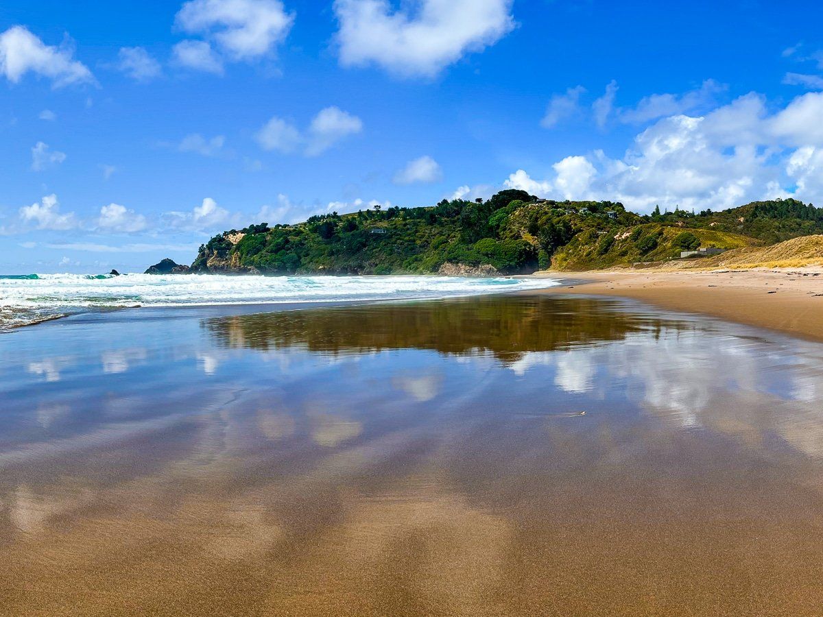
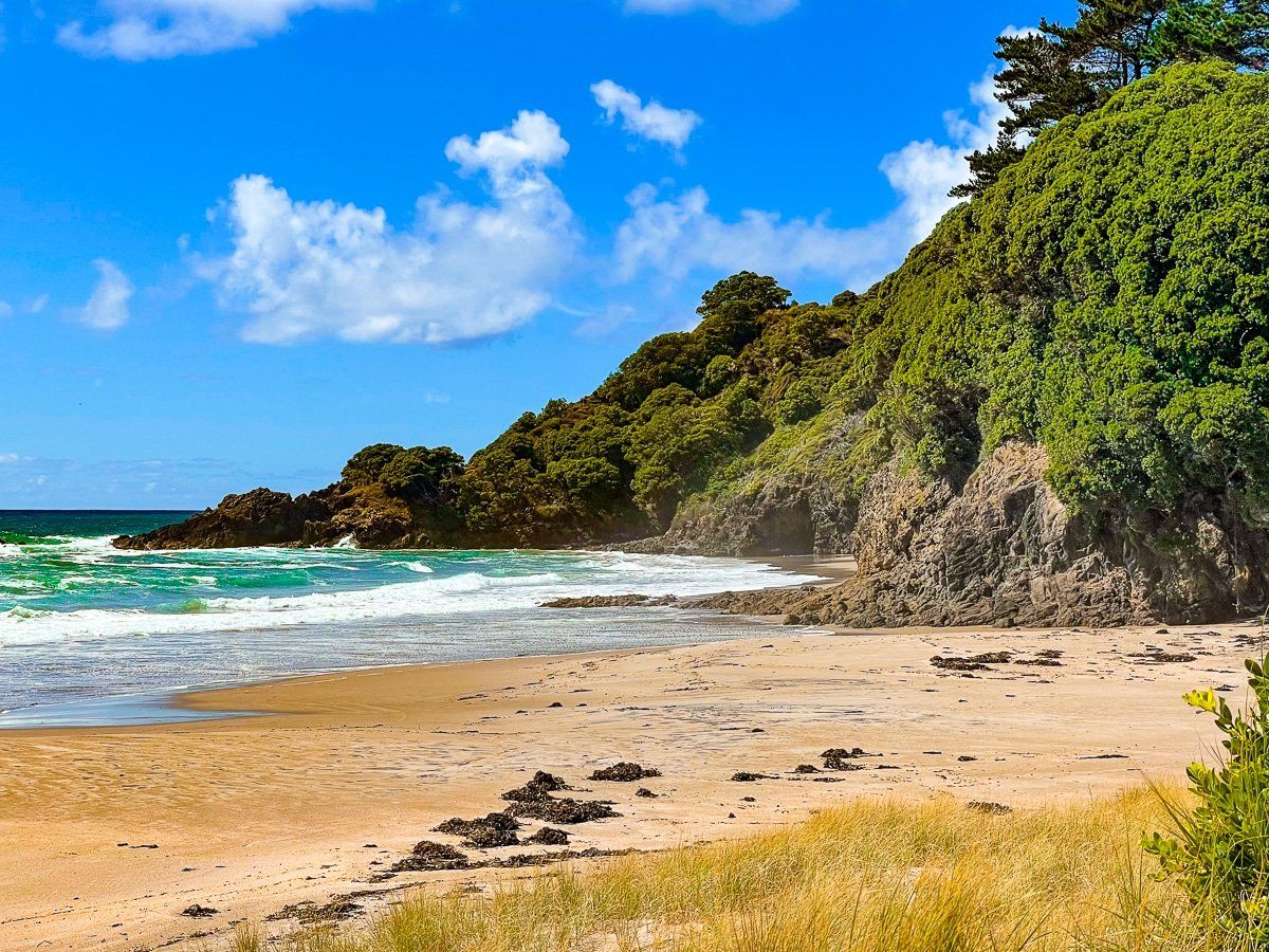
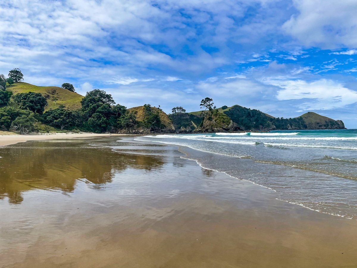
Medlands Beach is a beautiful, crescent-shaped, white sand surf beach with several access points. Although there are houses near the beach, there will only be a few people around. Camping is available at the south end of the beach.
Kaitoke Beach
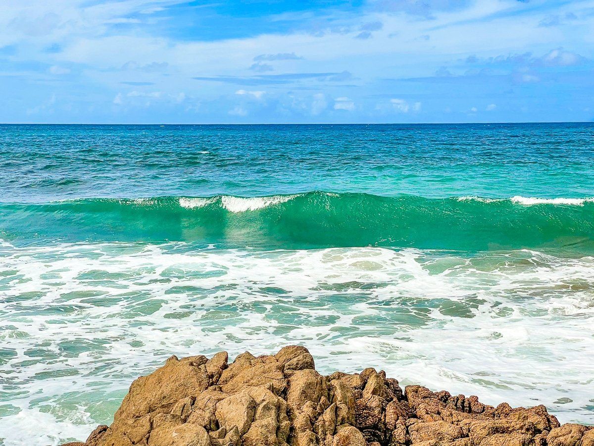
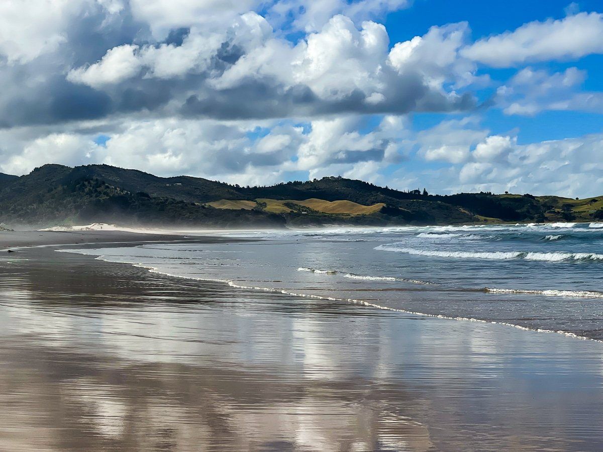
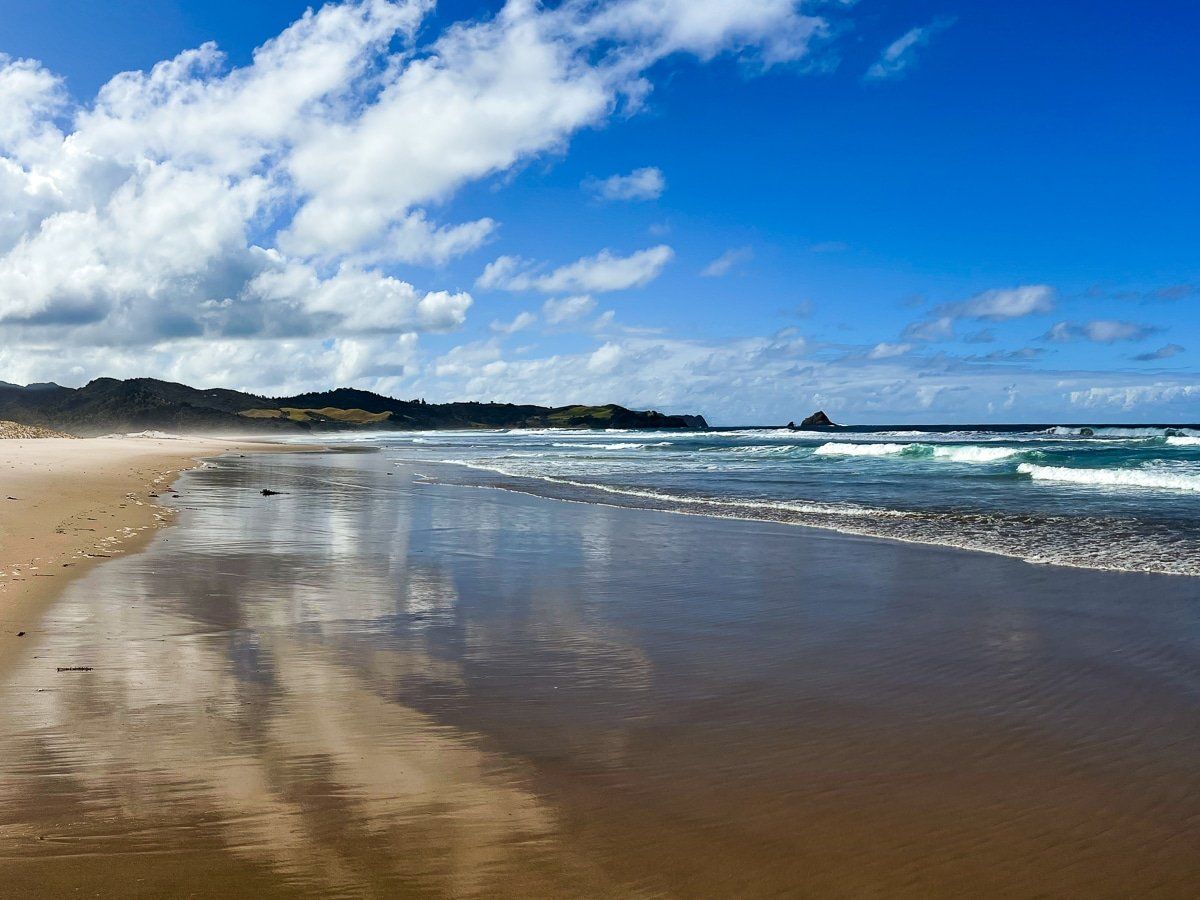
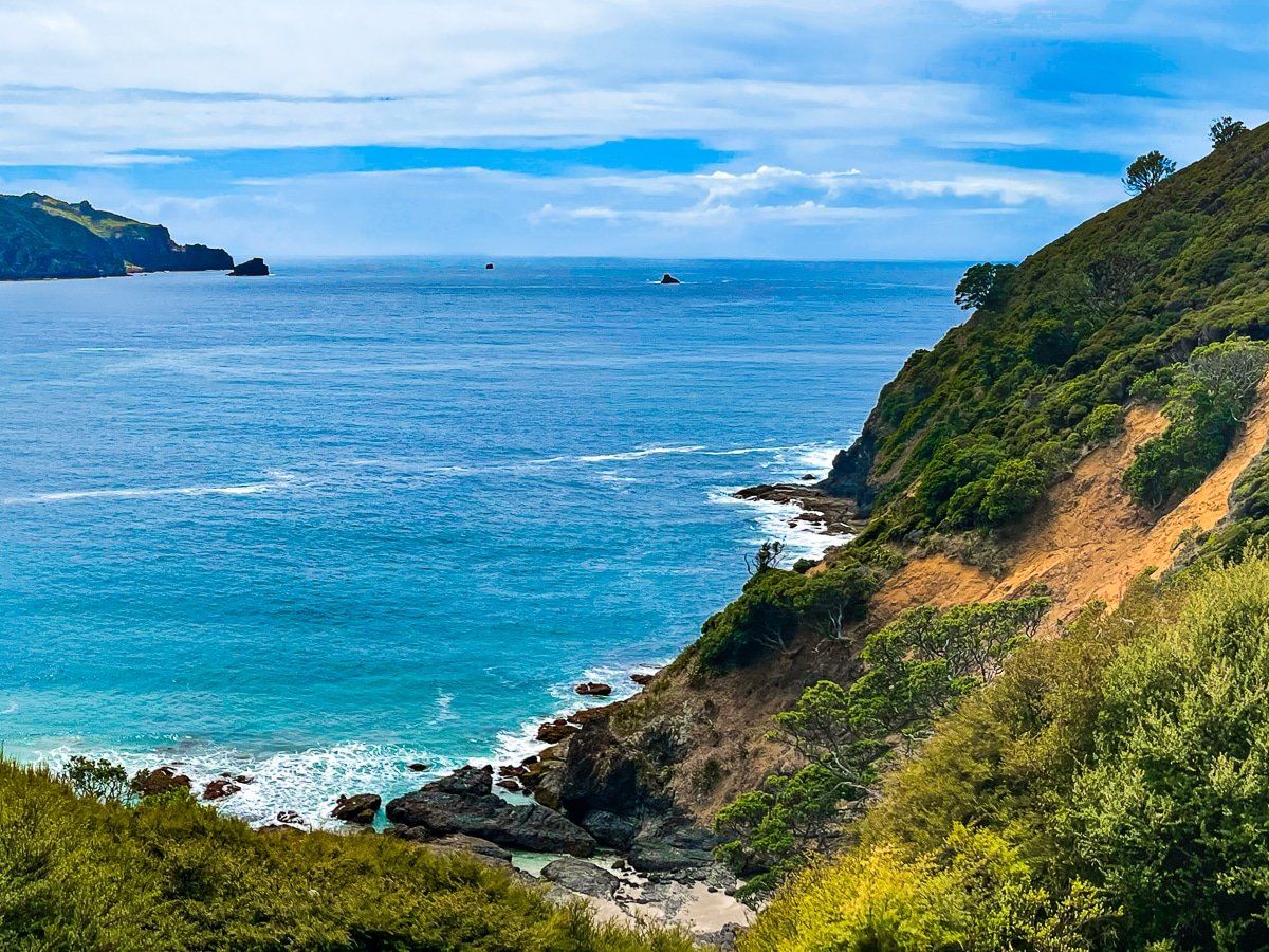
Kaitoke is a long, wide, white sand surf beach immediately north of Medlands Beach. It’s also less accessible, as it fronts the airport and is more of a walk between the dunes from the end of Oceanview Road. Chances are you’ll be the only ones there, and at six kilometres long, there’s plenty of room.
The rock pools at the south end of the beach are worth exploring at low tide, and at the north end beyond the Kaitoke Creek exit, the official name becomes Palmers Beach.
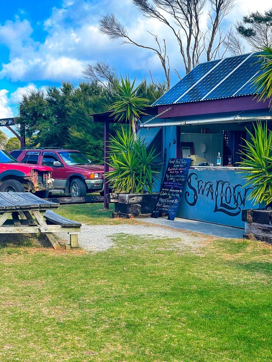
Claris
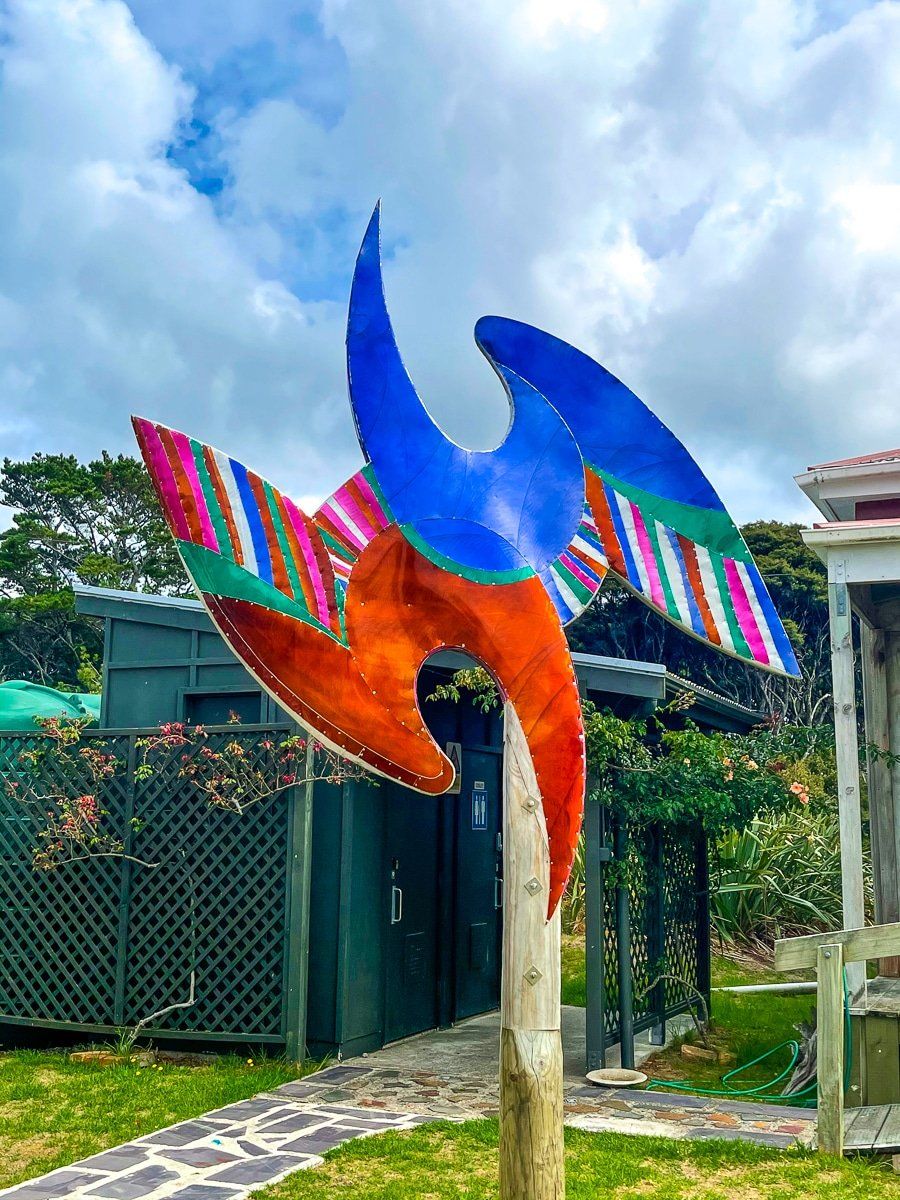
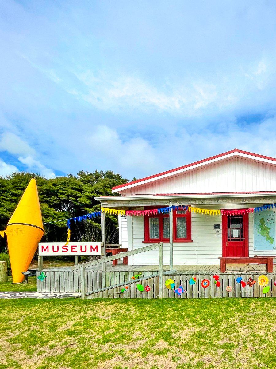
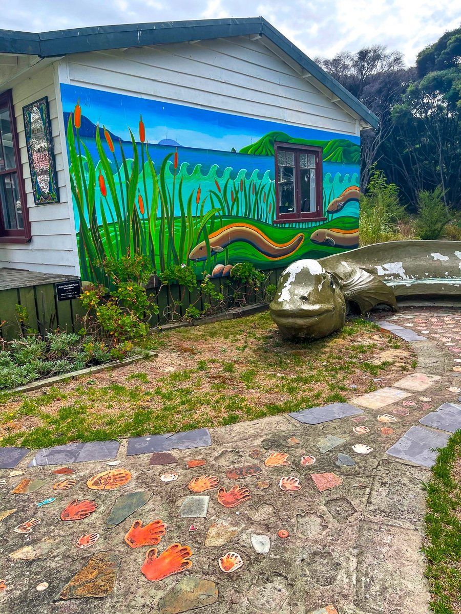
Claris is one of several hamlets on Great Barrier, and is the closest to the airport. There’s a cool hamburger bar called Swallow, a cafe that’s open on weekdays only, a couple of shops, curious museums and galleries, and a few tourist service businesses. However, its best feature is the sense of 1970s eclectic beach town New Zealand.
Awana Bay
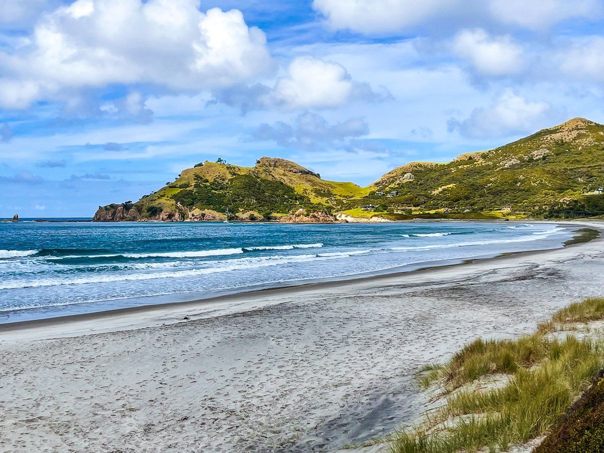
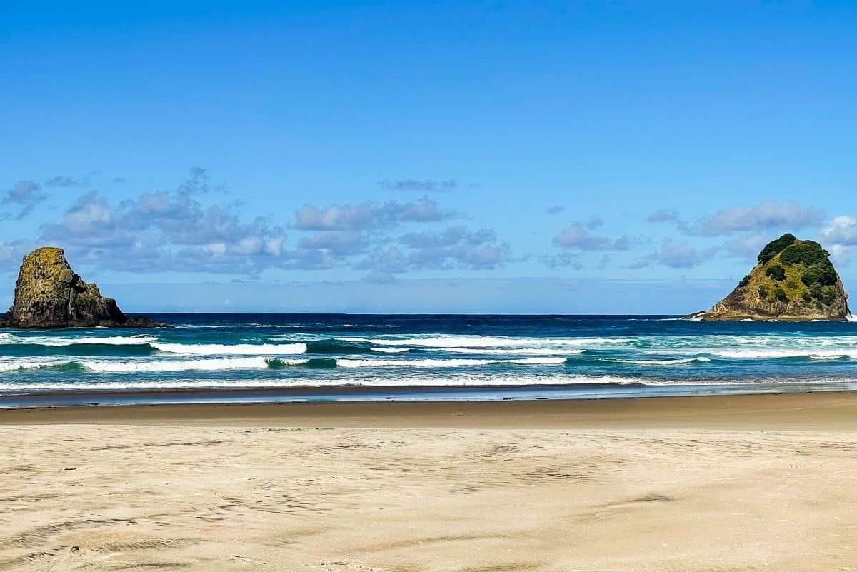
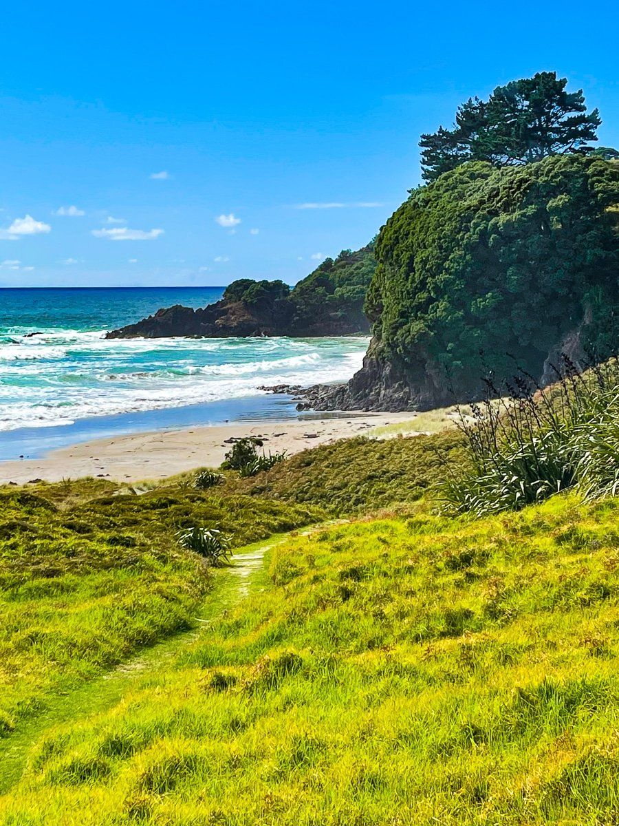
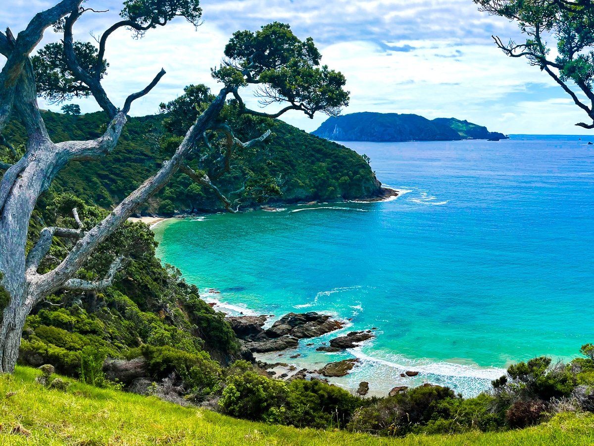
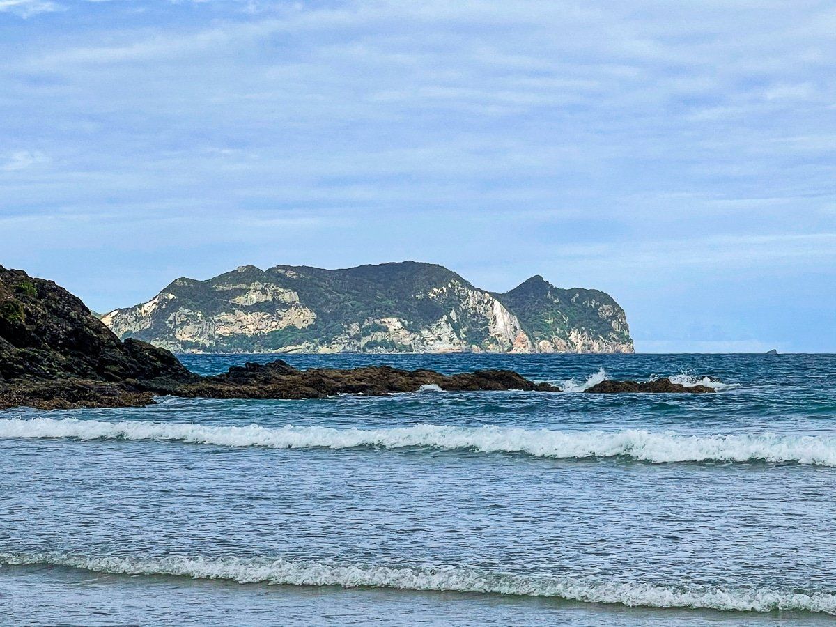
As you follow the main road north from Claris, you’ll get a fleeting glimpse of Awana Bay. Make sure to stop – Awana Bay is an incredibly beautiful beach, and it’s very easy to overlook.
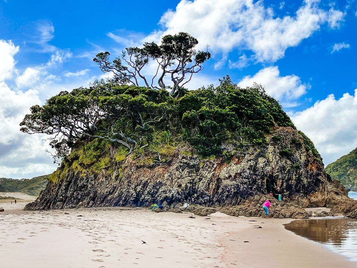
You can walk south around the rocks to a second smaller beach, and near the top of the walk there’s a picnic table, perfect if you’ve brought a packed lunch. From there you may be able to spot a natural arch almost immediately to the north, although you really need binoculars to see it properly.
The Awana Stream also flows into the sea at the north end of the beach. Follow the stream to get to the campground, or drive in a bit further up the main road.
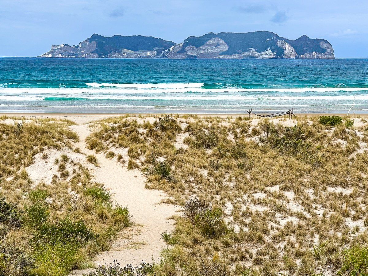
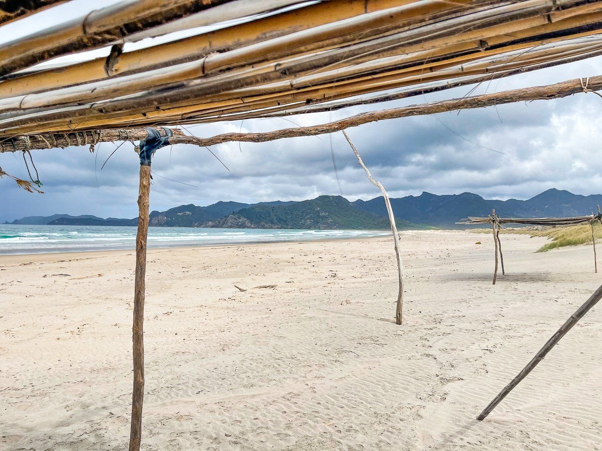
Harataonga, Overtons
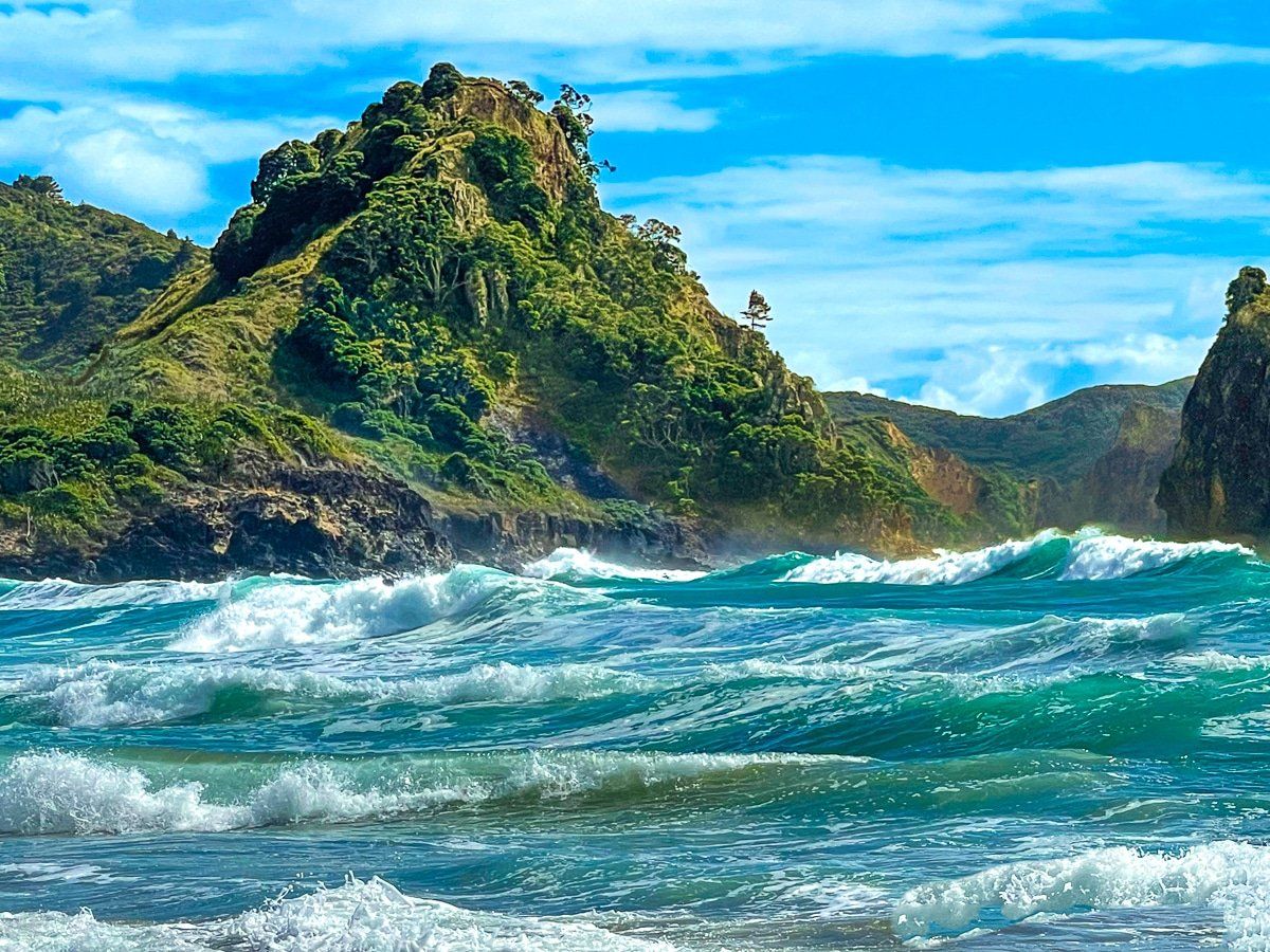
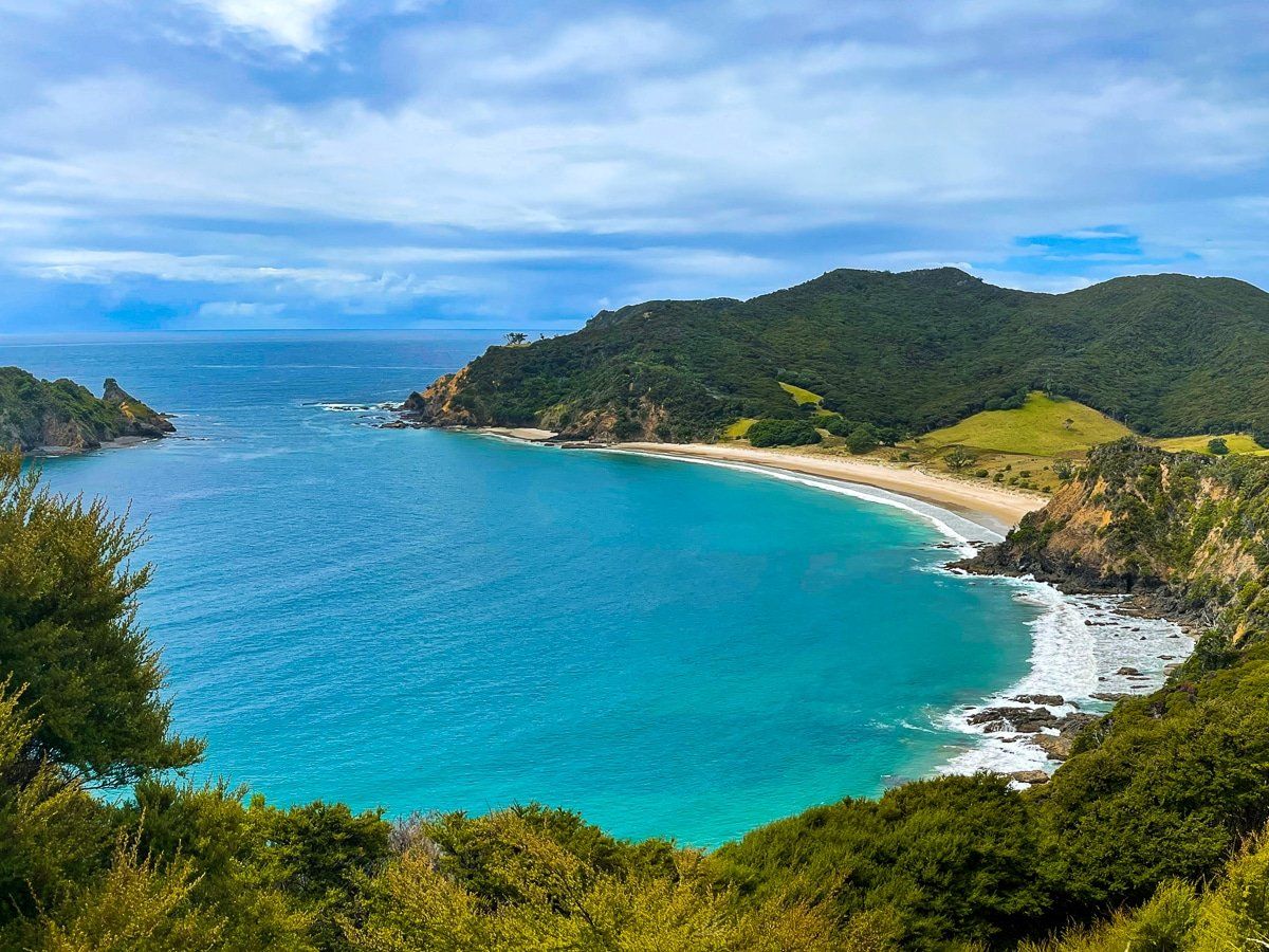
After Awana Bay the main road becomes Aotea Road, and after a few kilometres you’ll reach the turnoff to Harataonga – definitely take it! The road is rough and unsealed but it’s not too far to the beautiful Harataonga Bay Campground and Overtons Beach.
Park immediately before the campground, then follow the track down to the beach.
Harataonga Loop
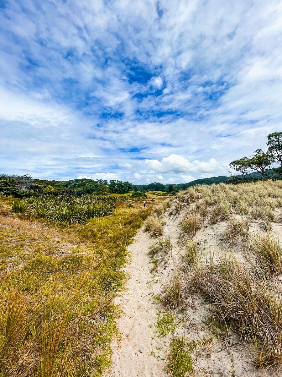
You can also walk west across the campground to the Harataonga Track. There are two options; a one-hour loop walk through regenerating forest, over the cliffs and back to the campground or beach, or a four to five hour walk to Whangapoua.
The loop is superb, though very steep in places. It takes you over an old pā, past ancient pohutukawa, and has spectacular views up and down the coast.
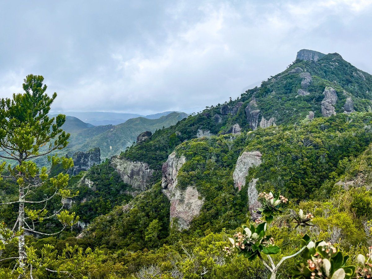
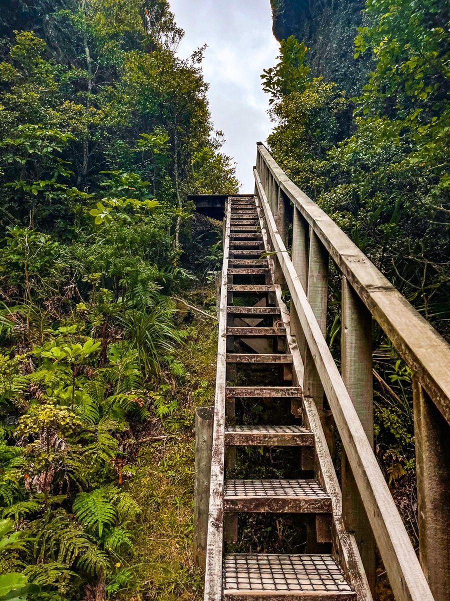
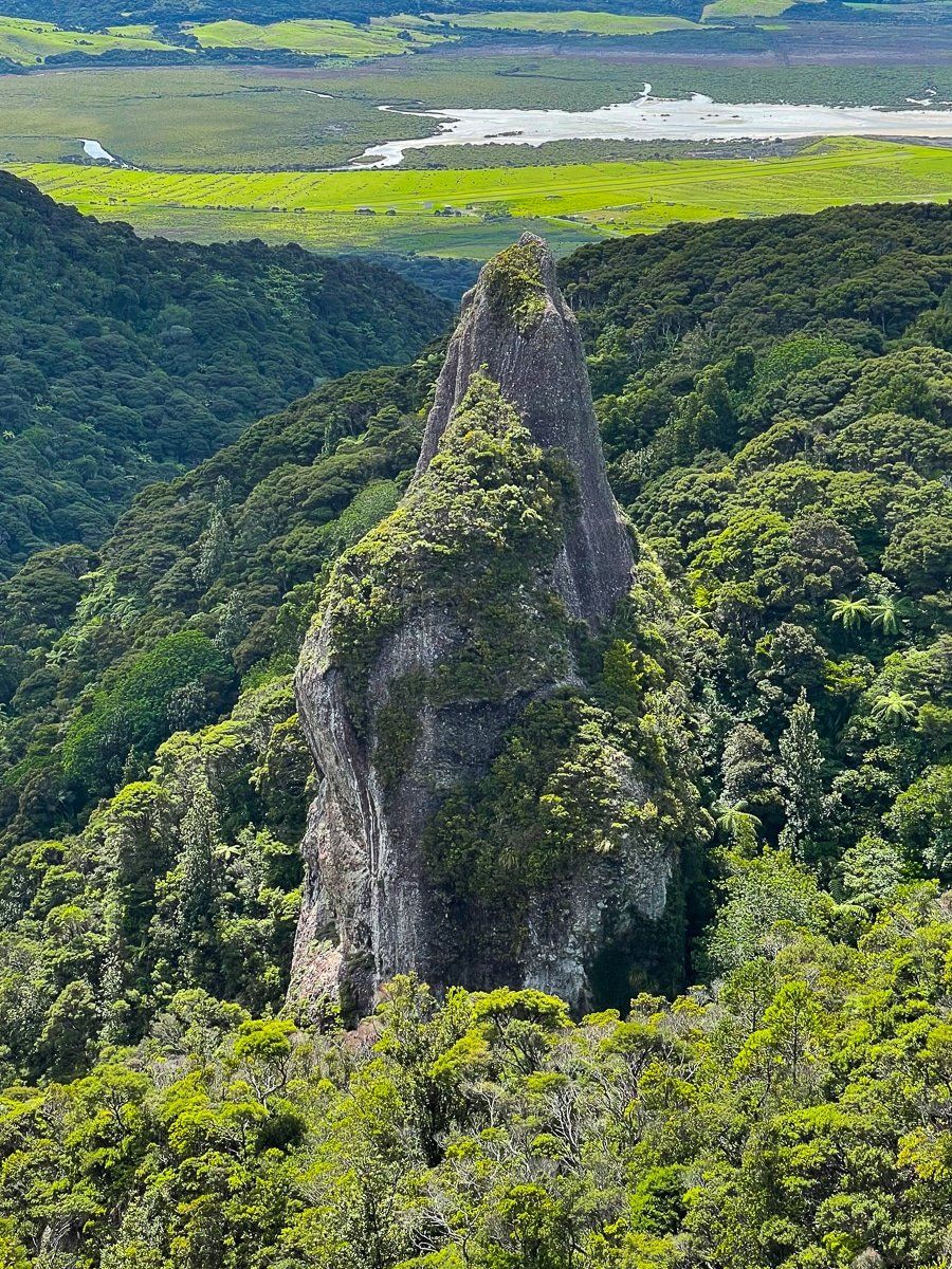
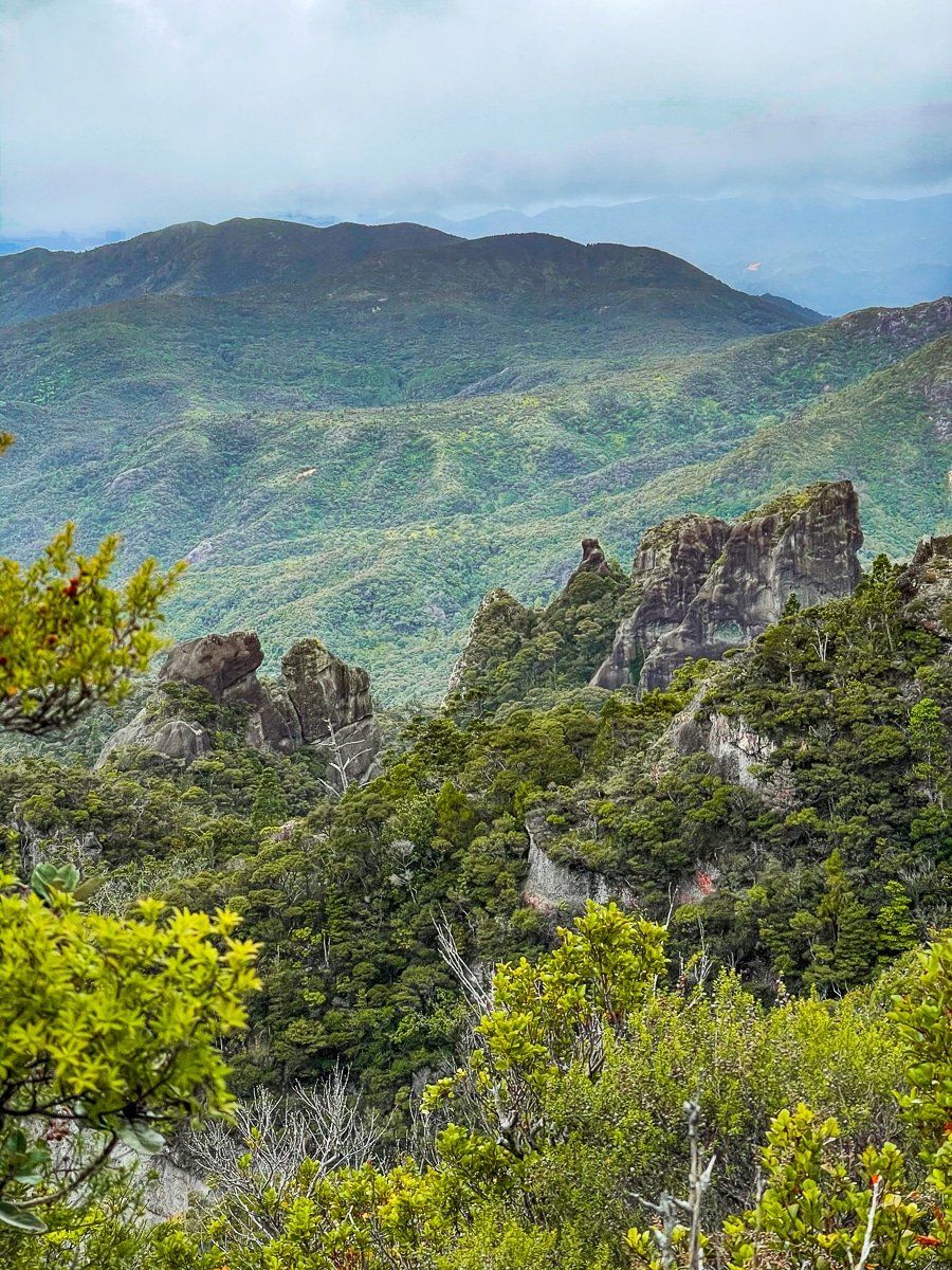
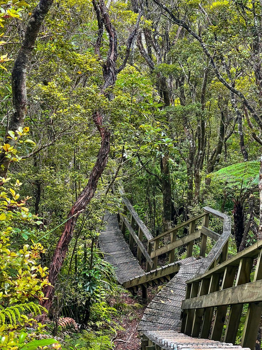
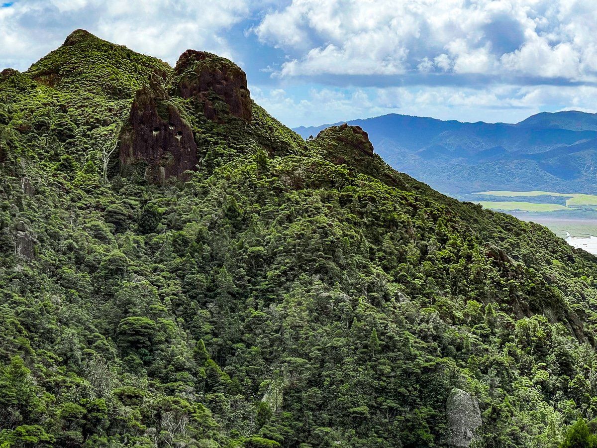
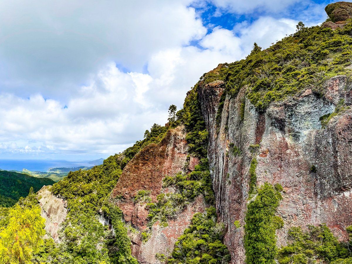
Windy Canyon
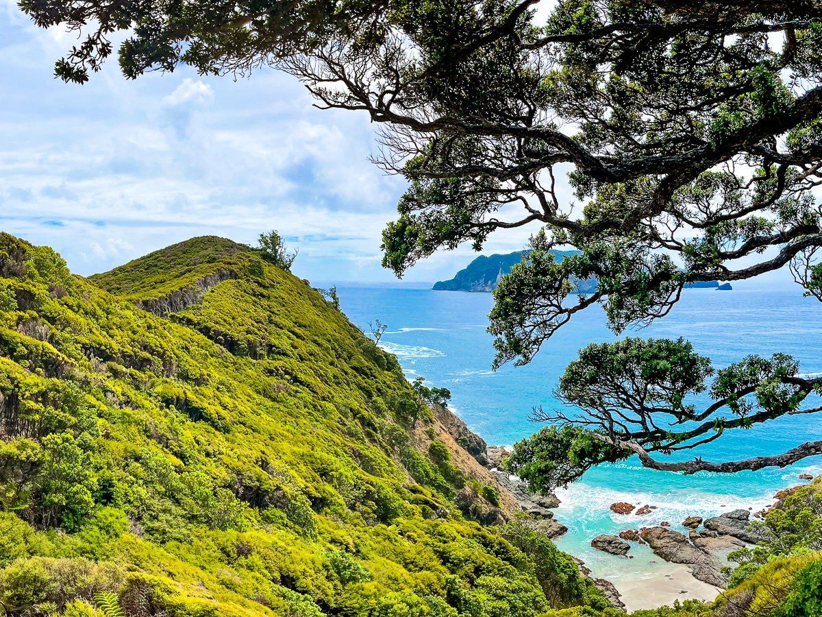
Returning to Aotea Road, head into the Aotea Conservation Park. Even by Great Barrier Island standards, this section of the road is twisting and narrow, and climbs steeply to 300 metres. Near the top you’ll find the entrance to Palmers Track, the first section of which is up Windy Canyon, before heading to the top of Mount Hobson – the whole walk is about two hours each way. There are quite a few steps, but it only takes fifteen minutes to walk the canyon section, with amazing views from the ridge at the top.
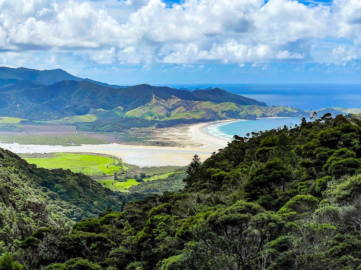
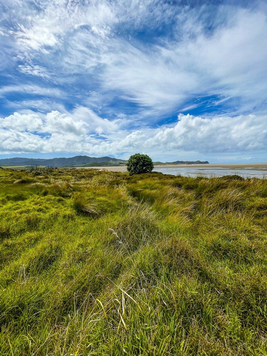
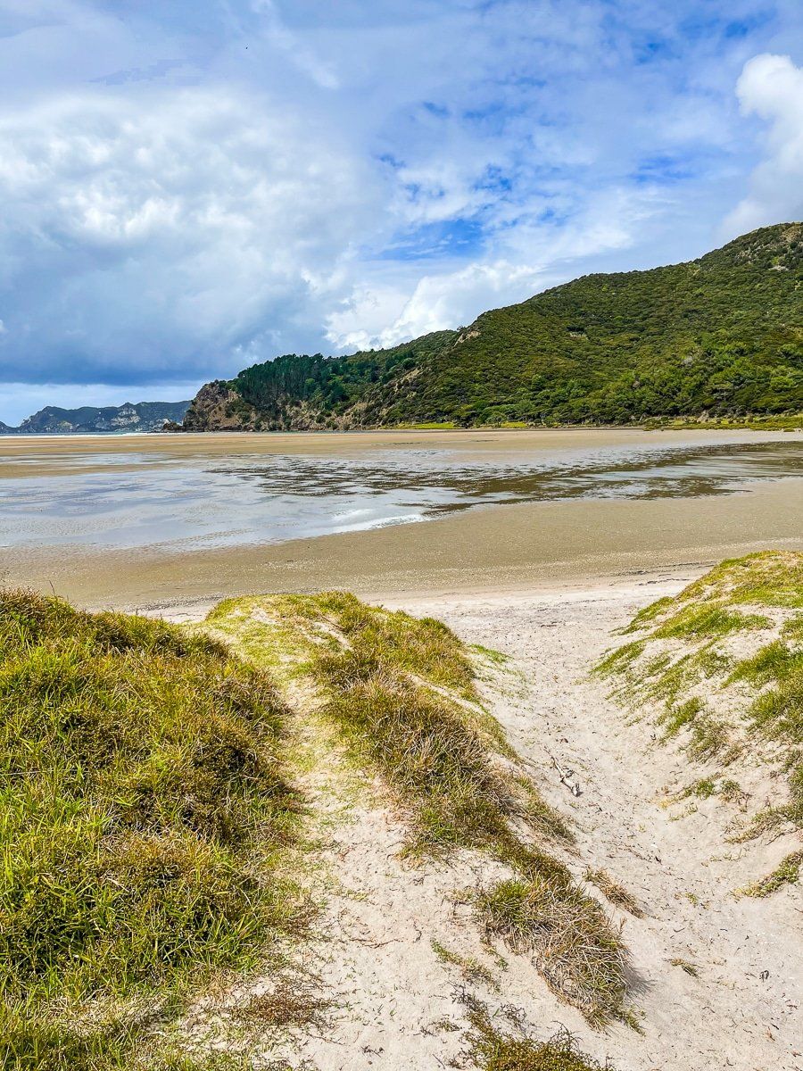
Whangapoua Campsite
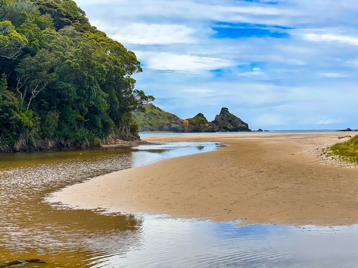
If you continue following Aotea Road you’ll get a couple of fantastic viewpoints over Whangapoua Beach. At the bottom of the range, take the turn to the Whangapoua Campground.
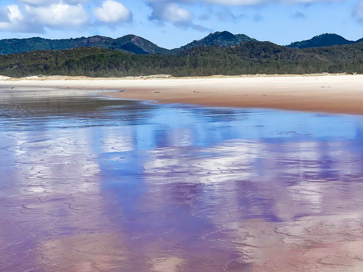
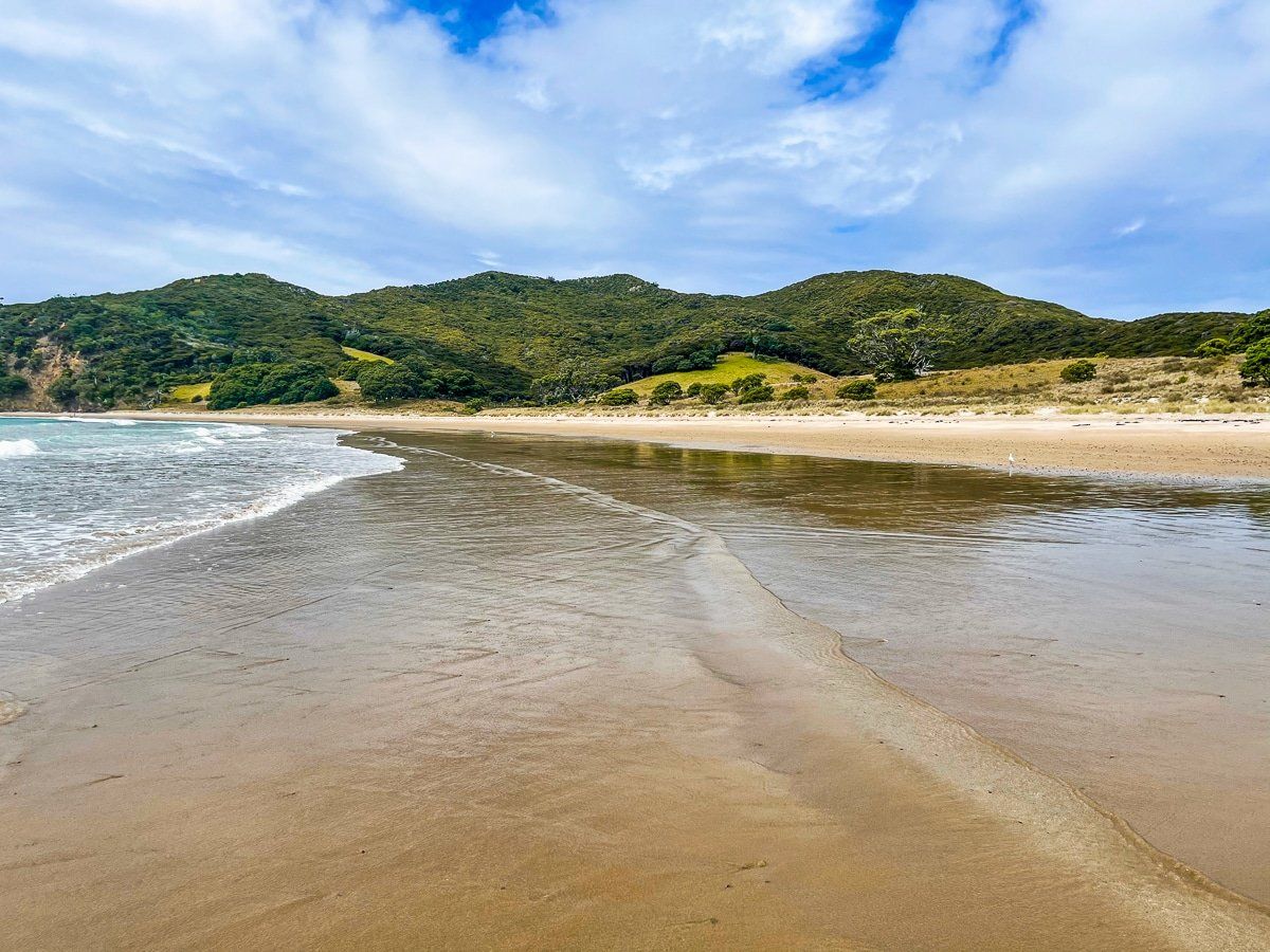
There’s a massive sandy lagoon between the campground and the beach, which drains as the tide goes out.
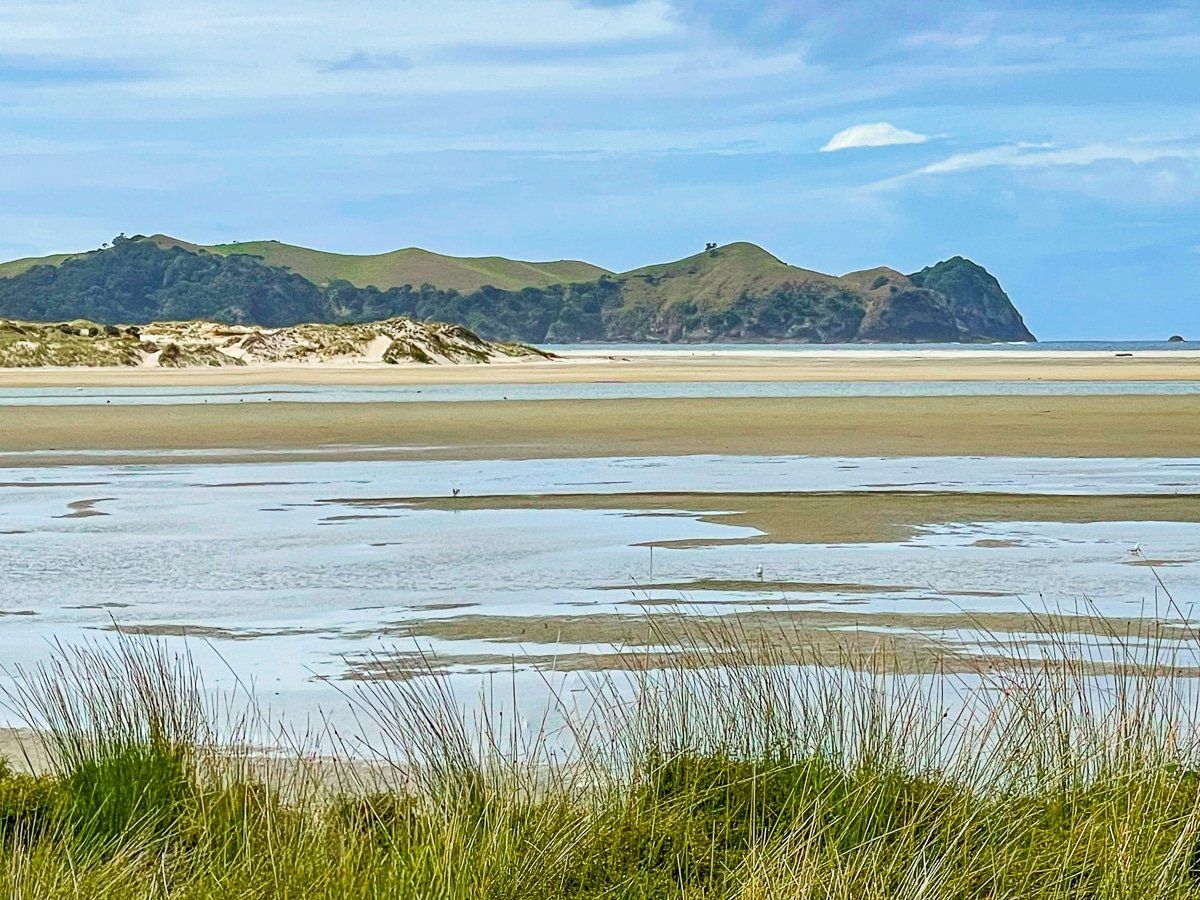
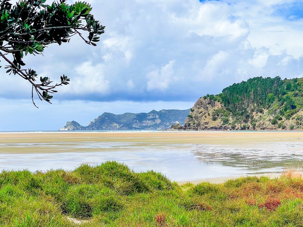
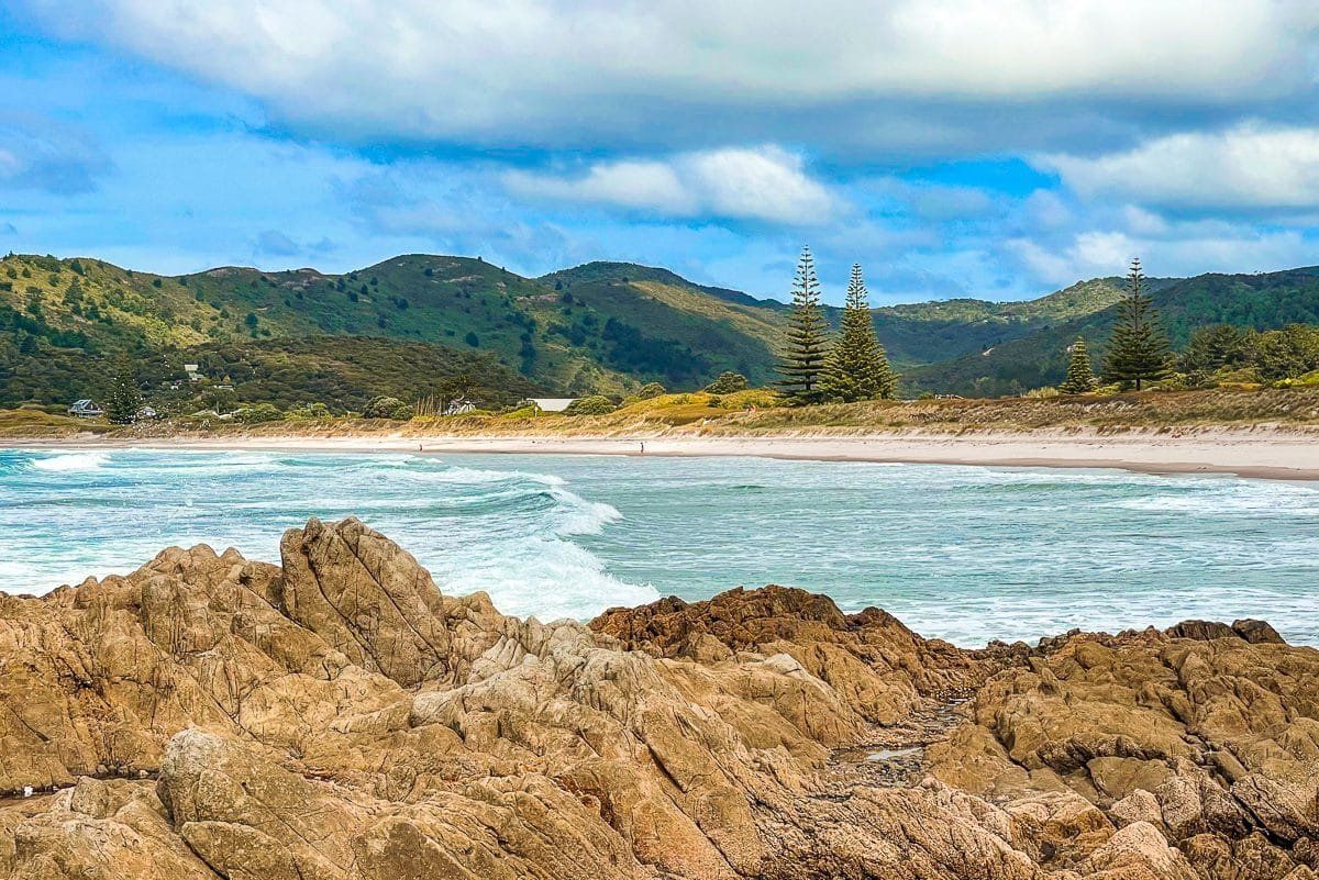
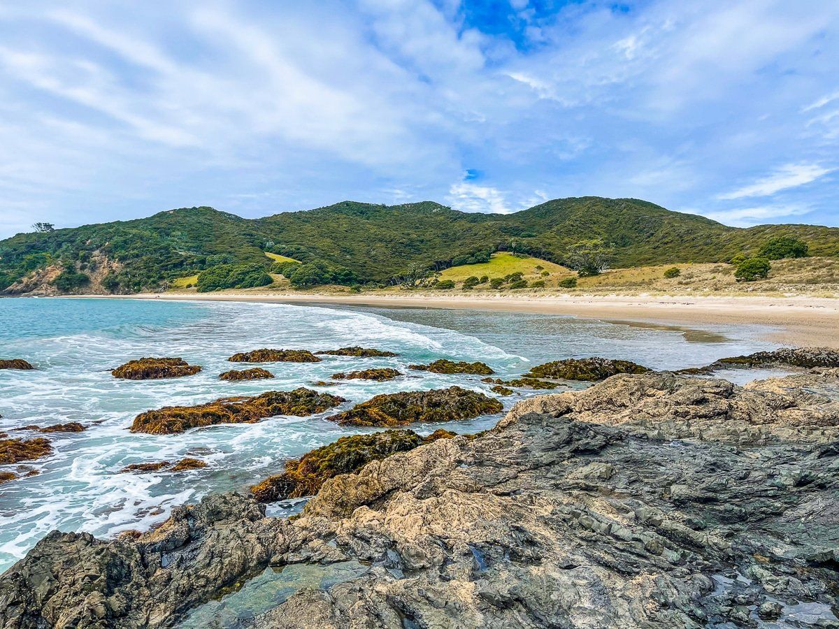
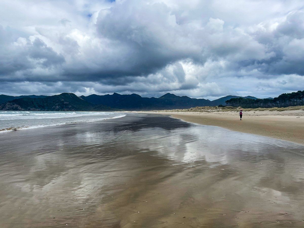
Whangapoua Beach
You can also drive to Whangapoua Beach by keeping on Aotea Road to Okiwi. Take a right turn onto the unsealed Maybey Road and follow it all the way to the north end of Whangapoua Beach.
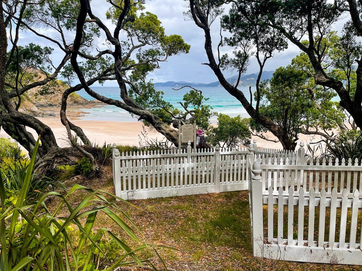
The beach itself is another mostly white sand surf beach, featuring two island shelters. If you walk north to the rocky point you’ll find the very pretty historic gravesites of some of the victims of one of New Zealand’s worst maritime disasters – the sinking of the SS Wairarapa in the late 1800s.
Want more Great Barrier Island trip ideas?
Check out our post on the Island’s harbours and hikes.